The 5 Most Amazing Peaks around Wallersheim
Best mountain peaks around Wallersheim are found in the surrounding Eifel region, a landscape characterized by its geological history. Wallersheim, located in Rhineland-Palatinate, Germany, sits in a wide valley at an elevation of 520 meters. The area is part of the largest limestone basin of the Eifel, rich in Devonian fossils, and borders the Southern Eifel Nature Park. The nearby Gerolstein Dolomites feature impressive rock formations, remnants of ancient coral reefs, offering elevated natural features for exploration.
Best mountain peaks…
Last updated: May 20, 2026
View of Gerolstein from the Munterley
Highlight • Viewpoint
Translated by Google •
Tip by

Dietzenley Observation Tower
Highlight • Viewpoint
Translated by Google •
Tip by

Sign up now to discover places like this
Get recommendations on the best single tracks, peaks, & plenty of other exciting outdoor places.
Sign up for free
Basilica of St. Salvator, Prüm
Highlight • Religious Site
Translated by Google •
Tip by

View from Rother Kopf Viewing Platform
Highlight • Viewpoint
Translated by Google •
Tip by

View of Auberg and Munterley
Highlight • Viewpoint
Translated by Google •
Tip by
Sign up for free to discover even more peaks around Wallersheim.
Sign up for free
Already have an account?
Start today with a free account
Your next adventure awaits.
Login or Signup

Tips from the Community

The Auberg above Gerolstein is a rocky plateau formed from dolomite and part of the impressive "Gerolstein Dolomites" nature reserve, which has been protected since 1990 and covers approximately 102 hectares. Geologically, it is a reef formed around 380 million years ago in a warm, shallow sea, exposed by karstification and folding – typical features of this Devonian limestone reef. At an elevation of approximately 360 meters above sea level, the Auberg offers spectacular views over Gerolstein, the Kyll Valley, and the entire Volcanic Eifel region – a real highlight on tours along the Eifelsteig or local circular trails such as the "Gerolsteiner Dolomiten Acht" (Gerolstein Dolomites Eight). The trail leads through narrow crevices and past bizarre rock formations, providing a true sense of discovery while hiking. Botanically, the Auberg is a valuable habitat: rare orchids, nutrient-poor grasslands, juniper, and species-rich mosses can be found on the sparse Dolomite rocks – as well as bats in protected crevices. Smaller populations also use the area as a resting, breeding, and hunting ground. For Komoot users, there are several tour options: for example, Eifelsteig stage 9 (Hillesheim–Gerolstein) or the local "Gerolsteiner Dolomiten Acht" (approx. 8 km), where the Auberg is a sublime intermediate destination. There's also a Reservoir–Auberg–Lissingen loop, an easy, family-friendly walk (approx. 4 km, 1 hour) with panoramic views and rocky outcrops.
0
0

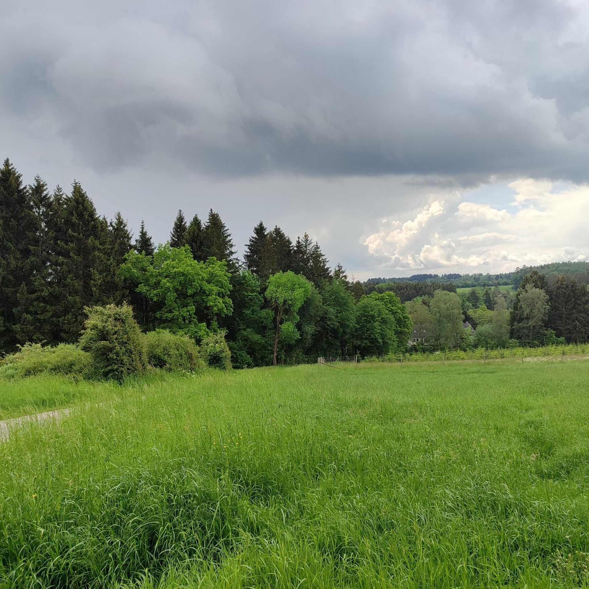
From here you have a beautiful view of the Auberg, from where you can enjoy a wonderful view of Gerolstein.
2
0

Here you have a wonderful all-round panoramic view and space to take a break
6
0

"With an area of approx. 102 hectares, the area around the Gerolsteiner Dolomites has been a nature reserve since 1990. + occurring animal species: bat + occurring plant species: juniper, orchids, character plants calcareous grassland, grove rush-beech forest, woodruff-beech forest, orchid-limestone-beech forest Around 380 million years ago there was a warm, subtropical shallow sea here, in which mighty reefs of stromatopores - relatives of sponges - and corals formed. After the dolomitization, sinking and folding of the rocks, the Devonian deposits were lifted out again. Today's Gerolsteiner Dolomites were formed, which rise steeply above the Kylltal north of the center of Gerolstein. The rocks "Hustley", "Munterley", "Drohende Ley", "Große Kanzel" and "Auberg" characterize the cityscape from afar and form the landmark of Gerolstein. The most famous summit of the Gerolsteiner Dolomites is the "Munterley" - with a height of 482 meters - and offers a breathtaking view over Gerolstein, the Kylltal and far into the Vulkaneifel. Stone Age people, who settled here 30,000 years ago, obviously enjoyed this view, as evidenced by stone tools and bones found at the nearby Buchenloch Cave. Visiting the Gerolsteiner Dolomites can be perfectly combined with hiking the Felsenpfad - the northern part of the "Gerolsteiner Dolomiten Acht". The almost eight-kilometer round tour offers many magical places and geological traces." https://www.eifel.info/a-gerolsteiner-dolomites
10
0

A mighty, beautiful building in the middle of the Eifel, including the building of the adjoining grammar school.
8
1

The Basilica of St. Salvator stands in Prüm, a town in the West Eifel region. In 721, the Frankish noblewoman Bertrada founded a monastery on her estate on the Prüm River with monks from Echternach. A second foundation was established in 752 by King Pippin, who had married a granddaughter of the first founder, with monks from Meaux near Paris, who lived according to the Rule of St. Benedict. In 1222, the monastery became the center of an independent principality, which was annexed by the Elector of Trier in 1576. The Elector and Archbishop of Trier then served as the abbot's administrator. Reconstruction of the abbey buildings began in 1721. As part of the Napoleonic secularization, the abbey was finally dissolved in 1802. Prüm, which initially belonged to the original parish of Rommersheim, was under the pastoral care of the Marienstift (St. Mary's Collegiate Church) from the mid-15th century. The Marienstift had been founded in 1016 by Abbot Urold of Prüm. The collegiate church became the parish church. In 1802, the monastery church became the parish church, and the collegiate church was demolished in 1826.
9
0
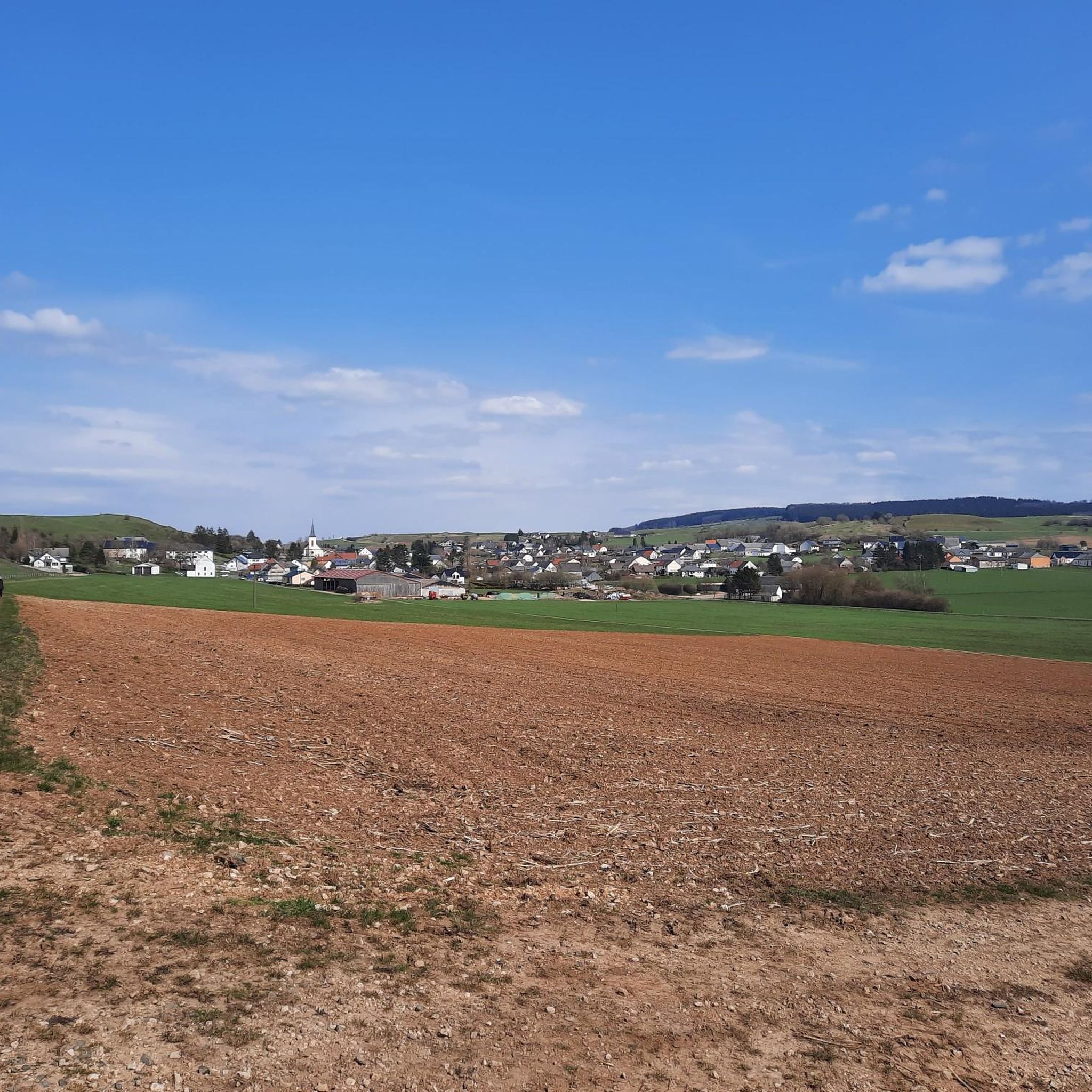
The observation tower on the Dietzenley offers an impressive view of the landscape of the Vulkaneifel. About 2500 years ago there was a Celtic housing estate on the Dietzenley with pasture areas, which were protected against attacks by ramparts up to 9 m high and 4 m wide.
13
0

The church of Saint Salvator - dedicated to Jesus Christ, the Savior - in the city of Prüm bears the papal honorary title "Basilica". As the abbey church of the Prüm Abbey - which at the time was part of the empire - it had been of great importance for a long time, which is also documented in a valuable donation of relics: the "Sandals of Christ". We modern people may perhaps smile mildly today about such a relic - and especially the importance that was attached to it back then - but in the Middle Ages the possession of it had a great external impact and contributed significantly to the attractiveness of the pilgrimage destination Prüm, similar to later times for example the “Heilige Rock” in Trier.
11
0
Frequently Asked Questions
What are the most popular elevated natural features to visit around Wallersheim?
The region around Wallersheim, particularly the Gerolstein Dolomites, offers several impressive natural features. Highly recommended are the View of Gerolstein from the Munterley, which offers fantastic views over Gerolstein and the Kyll Valley from a 380-million-year-old Devonian reef. Another popular spot is the Dietzenley Observation Tower, providing an impressive panoramic view of the Vulkaneifel landscape.
Are there family-friendly trails or viewpoints near Wallersheim?
Yes, several spots are suitable for families. The View of Gerolstein from the Munterley is considered family-friendly, offering great views. Additionally, the View of Auberg and Munterley is also family-friendly and provides beautiful vistas over Gerolstein. The area around the Auberg is part of the 'Gerolsteiner Dolomiten Acht' trail, which includes easier, family-friendly sections.
What kind of geological formations can I expect to see in the Wallersheim region?
The region is renowned for its unique geological history. You'll encounter the Gerolstein Dolomites, which are remnants of a 380-million-year-old subtropical shallow sea. These formations, like the Munterley and Auberg, are composed of dolomite rock, formed from ancient coral and sponge reefs. You can observe clear reef upper edges, steep drop-offs, and block scree, offering a tangible connection to the area's ancient past.
What historical sites are located near the elevated natural features around Wallersheim?
Near the elevated natural features, you can explore several historical sites. The Dietzenley Observation Tower stands on a site where a Celtic housing estate with ramparts existed about 2500 years ago. Additionally, the nearby Buchenlochhöhle, a 36-meter-long karst cave, provides evidence of Stone Age inhabitants. Further afield, the Basilica of St. Salvator, Prüm is a historically significant religious building connected to Charlemagne and his descendants.
What is the best time of year to visit the mountain peaks and natural areas around Wallersheim?
Spring and autumn are particularly recommended for visits to the natural areas around Wallersheim. During these seasons, the landscape is vibrant, and the conditions are ideal for hiking and exploring the geological formations and viewpoints.
Are there hiking trails that explore the Gerolstein Dolomites?
Yes, the Gerolstein Dolomites are best experienced through hiking. A significant route is the 'Gerolstein Dolomites Eight,' a roughly 16-kilometer circular trail that combines the Rock Trail and Celtic Trail. This route provides magnificent views and highlights the dramatic dolomite cliffs, including formations like Munterley and Auberg.
What outdoor activities, besides hiking, can I do near Wallersheim's elevated natural features?
Beyond hiking, the Wallersheim area offers a variety of outdoor activities. You can find numerous cycling routes, including options for touring bikes, mountain bikes, and road bikes. For example, there are challenging cycling routes around Wallersheim, MTB trails, and road cycling routes that allow you to explore the diverse landscape.
What makes the Munterley a significant natural feature?
The Munterley is the most famous and prominent 'peak' within the Gerolstein Dolomites. It offers breathtaking panoramic views over the historic town of Gerolstein, the picturesque Kyll Valley, and extends far into the volcanic Eifel region. Geologically, it's a Devonian reef formed 380 million years ago, allowing visitors to observe clear reef upper edges and steep drop-offs. A refuge on the Munterley Plateau also provides a place to rest.
What can I expect to see at the Dietzenley Observation Tower?
The Dietzenley Observation Tower provides an impressive all-round view of the Vulkaneifel landscape, including sights like Gerolstein, Büscheich, and in good weather, even the Lissinger Kaserne and Kasselburg. It's also a site of historical interest, as a Celtic housing estate with ramparts existed here approximately 2500 years ago.
Are there any other notable rock formations in the Gerolstein Dolomites besides Munterley?
Yes, the Gerolstein Dolomites include other striking rock formations that contribute to the region's dramatic scenery. These include Hustley, Drohende Ley, Große Kanzel, and Auberg. Hustley is also known as a climbing rock, offering opportunities for more adventurous visitors. The View of Auberg and Munterley highlight offers a great perspective on these formations.
What kind of wildlife and flora can be found in the Gerolstein Dolomites area?
The Gerolstein Dolomites area is a valuable habitat for diverse flora and fauna. You can find rare orchids, nutrient-poor grasslands, juniper, and species-rich mosses on the sparse Dolomite rocks. The area also supports smaller populations of bats, which use protected crevices as resting, breeding, and hunting grounds.
What do visitors enjoy most about the elevated natural features around Wallersheim?
Visitors particularly enjoy the spectacular panoramic views, especially from spots like the View of Gerolstein from the Munterley and the Dietzenley Observation Tower. The unique geological history, with ancient reef formations, also fascinates many. The tranquility and the opportunity to connect with nature on well-maintained trails are frequently praised.
Most popular routes around Wallersheim
Most popular attractions around Wallersheim

Get inspired with the komoot mobile app


Explore more
See even more amazing summits around Wallersheim with these guides:
