The 18 Most Amazing Peaks around Landkreis Neustadt an der Waldnaab
Best mountain peaks around Landkreis Neustadt an der Waldnaab are situated in the Upper Palatine Forest region of Bavaria, Germany. This area is characterized by its diverse natural landscape, including unique geological formations such as extinct volcanoes and basalt cones. The region offers a combination of natural beauty and historical significance, with many peaks featuring historical sites and panoramic viewpoints. It provides varied opportunities for exploration, from geological insights to scenic trails.
Best mountain peaks around Landkreis Neustadt an der…
Last updated: July 20, 2026
Rauher Kulm Lookout Tower
Highlight • Viewpoint
Nicolaus Apel built a wooden observation tower as early as 1807. There was a movable gold-plated sun above …
Translated by Google •
Tip by

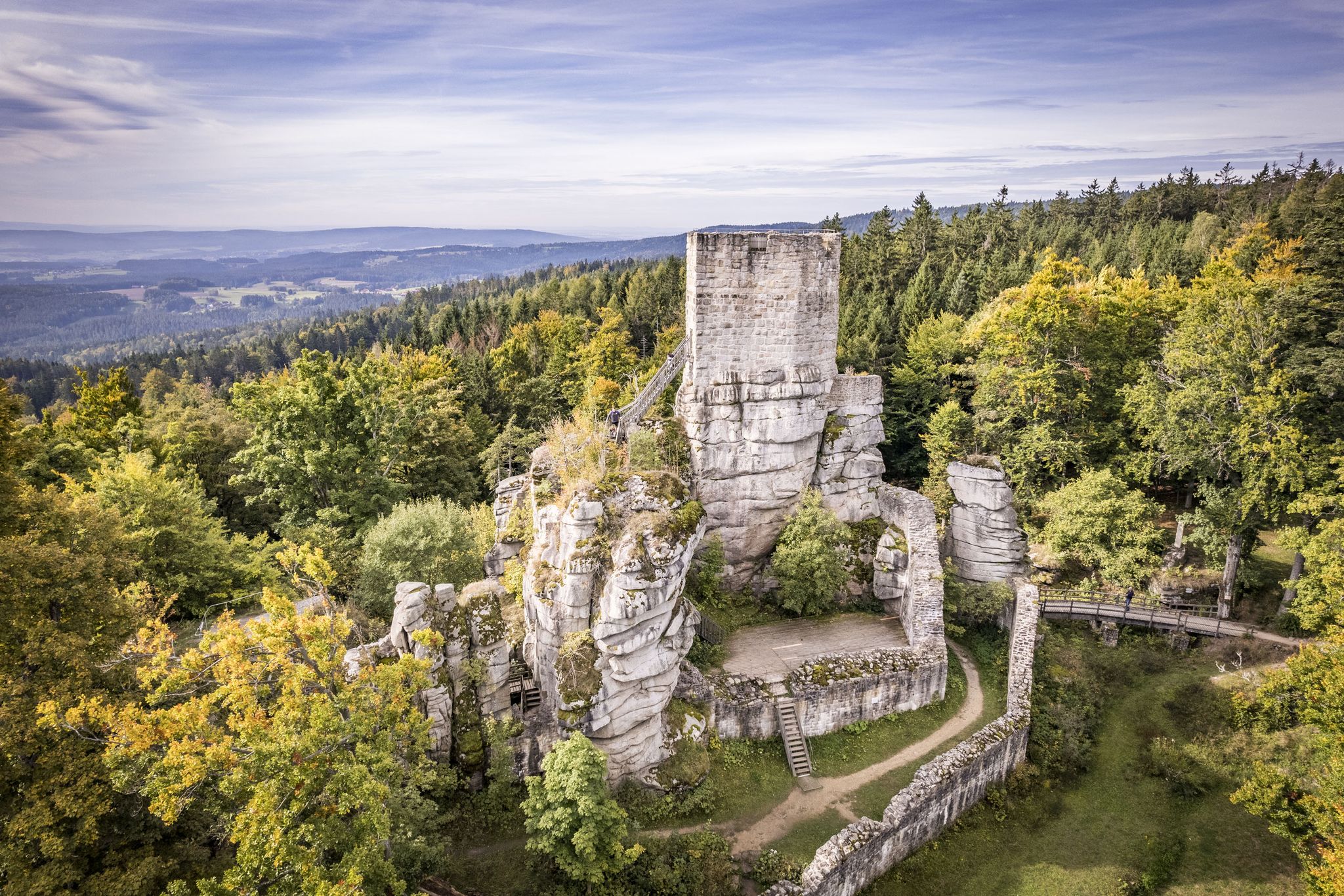
Haselstein castle site and Haselstein information hut
Highlight • Historical Site
Translated by Google •
Tip by

Sign up now to discover places like this
Get recommendations on the best single tracks, peaks, & plenty of other exciting outdoor places.
Sign up for free
Pilgrimage Church of the Visitation of Mary (Mariä Heimsuchung), Fahrenberg
Highlight • Religious Site
Newly renovated St. Mary's Church
Translated by Google •
Tip by

Rauher Kulm Lookout Tower
Highlight • Monument
Translated by Google •
Tip by

Stückberg Observation Tower
Highlight • Viewpoint
Translated by Google •
Tip by
Kohlbühl Summit Cross
Highlight • Summit
Translated by Google •
Tip by

Entenbühl Summit and Hubertus Chapel
Highlight • Summit
Translated by Google •
Tip by

Gottvaterberg
Highlight • Summit
Translated by Google •
Tip by
Schlossberg Tännesberg (692 m)
Highlight • Historical Site
Translated by Google •
Tip by

Stückberg
Highlight • Viewpoint
Translated by Google •
Tip by

Sign up for free to discover even more peaks around Landkreis Neustadt an der Waldnaab.
Sign up for free
Already have an account?
Start today with a free account
Your next adventure awaits.
Login or Signup
Popular around Landkreis Neustadt an der Waldnaab
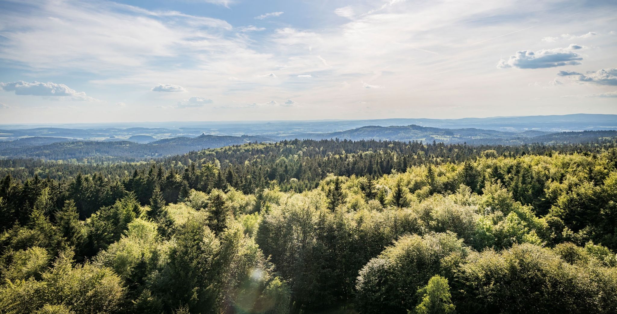
Nurtschweg – Hiking along the German-Czech border
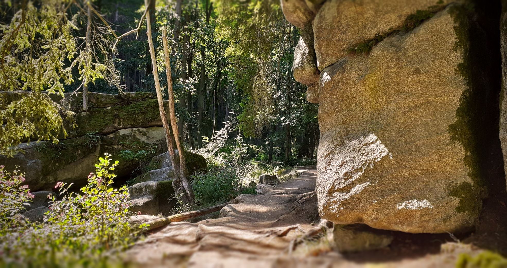
Bikepacking in the Upper Palatinate Forest

The Goldsteig – 38 stages between Upper Palatinate and Passau
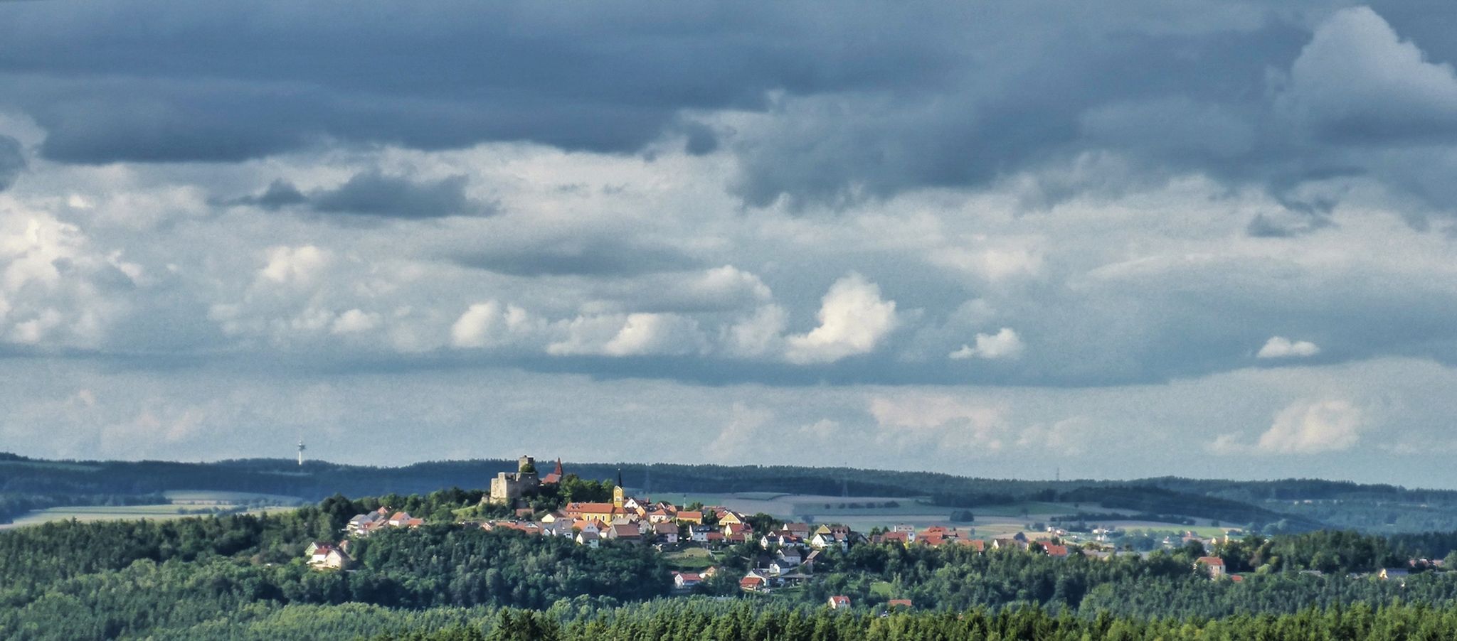
The Upper Palatinate Castle Trail — 9 days in picturesque northern Bavaria

The National Natural Landscapes in Bavaria
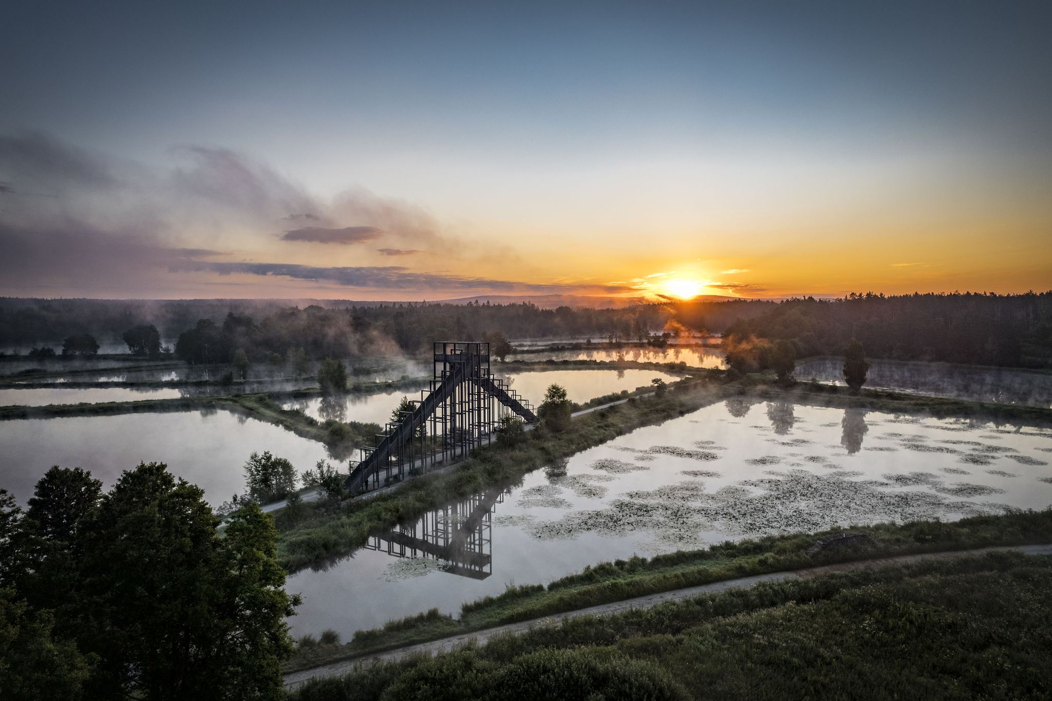
How refreshing! Trails by the water in the Upper Palatinate Forest
On the 'Kultouren' through the Upper Palatine Forest
Hike the Glass Cutter Trail through the Upper Palatinate Forest
Run Wild – trail running routes throughout Germany

Thousands of kilometres of hiking fun – long-distance hiking trails in Bavaria
Other adventures around Landkreis Neustadt an der Waldnaab


Tips from the Community


At 901 meters, the Entenbühl is the second-highest elevation in the German part of the Upper Palatinate Forest after the 938-meter-high Kreuzfelsen in the Cham district. Below the summit lies the Hubertus Chapel. It was built as a wartime bunker in 1938 and converted into a place of worship by the Upper Palatinate Forest Association in 1998. The wooden summit cross was erected in 2000.
13
0


The Rauhe Kulm rises 682 metres high from the middle of the landscape and is visible from all directions. It is surrounded by the Fichtel Mountains to the north, the Steinwald to the east, the heights of the Franconian Jura to the south and the Franconian Switzerland to the west. It owes its distinctive shape to its volcanic origins around 20 million years ago. The exposed basalt slopes are a valuable habitat for numerous animals and rare plants. Around 90 different lichens and mosses grow and thrive on the heat-storing basalt boulders. The Rauhe Kulm has been protected as a natural monument since 1909 and has been a nature reserve in accordance with European standards (FFH) for several years. In 2013, the Rauhe Kulm was voted Germany's most beautiful natural wonder. The climb over the basalt block slope leads to the observation tower on the Rauhe Kulm. From the platform of the tower there is a unique panoramic view of the landscape around the Rauhe Kulm to the mountain ranges on the horizon.
5
0
The Rauhe Kulm rises 682 metres high from the middle of the landscape and is visible from all directions. It is surrounded by the Fichtel Mountains to the north, the Steinwald to the east, the heights of the Franconian Jura to the south and the Franconian Switzerland to the west. It owes its striking shape to its volcanic origins around 20 million years ago. The exposed basalt slopes are a valuable habitat for numerous animals and rare plants. Around 90 different lichens and mosses grow and thrive on the heat-storing basalt boulders. The Rauhe Kulm has been protected as a natural monument since 1909 and has been a nature reserve in accordance with European standards (FFH) for several years. In 2013, the Rauhe Kulm was voted Germany's most beautiful natural wonder.
9
1

Pleasant climb with reward of a breathtaking landscape.
3
0

Great observation tower with a view of Franconian Switzerland, the Rhön, the Fichtelgebirge and Neustadt am Kulm.
3
0

From the Schloßberg you have a wonderful view over Tännesberg and the surrounding area, it's worth it. A panoramic window helps with orientation.
6
0
Frequently Asked Questions
What are some of the most unique mountain peaks to visit in Landkreis Neustadt an der Waldnaab?
The region is home to several distinctive peaks. The Rauher Kulm stands out as an iconic 681-meter high basalt cone, an extinct volcano with visible basalt columns. Another notable peak is the Haselstein castle site and Haselstein information hut, which offers a historical site with a rest area and an information pavilion.
Which mountain peaks offer the best panoramic views in the region?
For breathtaking views, the Rauher Kulm features a 25-meter observation tower with magnificent vistas across the Fichtel Mountains and the Upper Palatinate. The Stückberg Observation Tower, at 808 meters, also provides extensive panoramic views of the Upper Palatinate Forest, Bavarian Forest, Fichtel Mountains, and even into the Czech Republic.
Are there any family-friendly mountain hikes in Landkreis Neustadt an der Waldnaab?
Yes, many peaks offer family-friendly options. The Rauher Kulm has marked hiking trails, including the 'Burgsteig' which leads to the summit in about 30 to 45 minutes, suitable for families. The Pilgrimage Church of the Visitation of Mary (Mariä Heimsuchung), Fahrenberg is also listed as family-friendly, offering a destination with historical and religious significance.
What historical sites can be found on the mountain peaks?
The Rauher Kulm has a rich history, with archaeological findings dating back to the 6th millennium BC and a medieval castle that once stood on its peak. The Haselstein castle site and Haselstein information hut is another significant historical location, offering insights into the region's past. The Kleiner Kulm also hosted a castle in the Middle Ages.
What is the highest mountain peak in Landkreis Neustadt an der Waldnaab?
The highest and most prominent mountain in Landkreis Neustadt an der Waldnaab is Entenbühl, reaching an elevation of 901 meters. It offers challenging hiking opportunities and a sense of achievement for those seeking to conquer the district's highest point.
What kind of geological features can I expect to see on these peaks?
The region is known for its unique geological formations, particularly basalt cones. The Rauher Kulm is an extinct volcano, showcasing impressive basalt columns. The Kleiner Kulm is also a basalt cone, characterized by a tuff mantle, providing a glimpse into the area's volcanic past.
Are there any religious sites on the mountain peaks?
Yes, the Pilgrimage Church of the Visitation of Mary (Mariä Heimsuchung), Fahrenberg is a significant religious building located on the 801-meter high Fahrenberg, a site of pilgrimage for over 800 years. Additionally, the Entenbühl Summit is home to the Hubertus Chapel.
What outdoor activities can I do near the mountain peaks in Landkreis Neustadt an der Waldnaab?
Beyond hiking the peaks, the region offers diverse outdoor activities. You can explore numerous cycling routes, such as the 'Naabtal cycle route' or 'Oberpfälzer Hügelland-Runde', which are part of the Cycling around Landkreis Neustadt an der Waldnaab guide. For runners, there are trails like the 'NOFI Run – Bockl Cycle Path loop' detailed in the Running Trails around Landkreis Neustadt an der Waldnaab guide. Gravel biking options are also available, including routes like 'Waldhaus – Krambambuli Hut – Steinwald Cycle Path loop' from the Gravel biking around Landkreis Neustadt an der Waldnaab guide.
What do visitors enjoy most about the mountain peaks in Landkreis Neustadt an der Waldnaab?
Visitors frequently appreciate the combination of natural beauty and historical significance. Many enjoy the panoramic views from observation towers, the unique geological formations like basalt cones, and the well-marked hiking trails. The presence of historical sites and places for rest, such as the Haselstein castle site and Haselstein information hut, also adds to the experience.
Are there any mountain peaks with summit crosses in the area?
Yes, the Kohlbühl Summit Cross is a popular summit at 589 meters, featuring a summit cross and a rest area in a forest clearing. Another summit cross can be found on Galgenberg, offering views of Pleystein.
Where can I find a place to rest or take a break on a mountain peak?
Several peaks offer convenient rest spots. The Platte Summit Shelter provides a covered break opportunity at 672 meters. The Haselstein castle site and Haselstein information hut also has a nice stone rest area and an information pavilion for taking a break.
What is the Kleiner Kulm known for?
The Kleiner Kulm, located west of the Rauher Kulm, is a 563-meter basalt cone that once hosted a castle. It offers a splendid panoramic view of Neustadt am Kulm and the Rauher Kulm. Uniquely, it's associated with an annual traditional 'Almabtrieb' where decorated goats are brought down from the mountain.
Most popular routes around Landkreis Neustadt an der Waldnaab
Most popular attractions around Landkreis Neustadt an der Waldnaab

Get inspired with the komoot mobile app


Didn’t find what you were looking for?
Discover Landkreis Neustadt an der Waldnaab’s best peaks and summits by region:
Explore more
See even more amazing summits around Landkreis Neustadt an der Waldnaab with these guides:
