The 20 Most Amazing Peaks around Steinwiesen
Best mountain peaks around Steinwiesen are characterized by rolling hills, dense forests, and elevated areas within the Franconian Forest Nature Park. The region offers numerous viewpoints and summits that provide opportunities for hiking and enjoying nature. While not featuring towering individual peaks, the area includes significant elevated features that offer expansive vistas. These locations are appreciated for their natural beauty and recreational opportunities.
Best mountain peaks around Steinwiesen
- The most popular mountain peaks is Prinz-Luitpold Tower on Döbraberg, an…
Last updated: October 10, 2026
Prinz-Luitpold Tower on Döbraberg
Highlight • Viewpoint
Translated by Google •
Tip by

🏛️ Radspitz Tower
Highlight • Viewpoint
Translated by Google •
Tip by

Sign up now to discover places like this
Get recommendations on the best single tracks, peaks, & plenty of other exciting outdoor places.
Frankenwarte Observation Tower
Highlight • Monument
Translated by Google •
Tip by

Döbraberg
Highlight • Summit
Translated by Google •
Tip by

Schloßberg Nordhalben Summit and Mushroom Sculpture
Highlight • Summit
Translated by Google •
Tip by

Sign up for free to discover even more peaks around Steinwiesen.
Already have an account?
Start today with a free account
Your next adventure awaits.
Popular around Steinwiesen

Nature, the outdoors and adventure – hiking through the VGN's nature parks
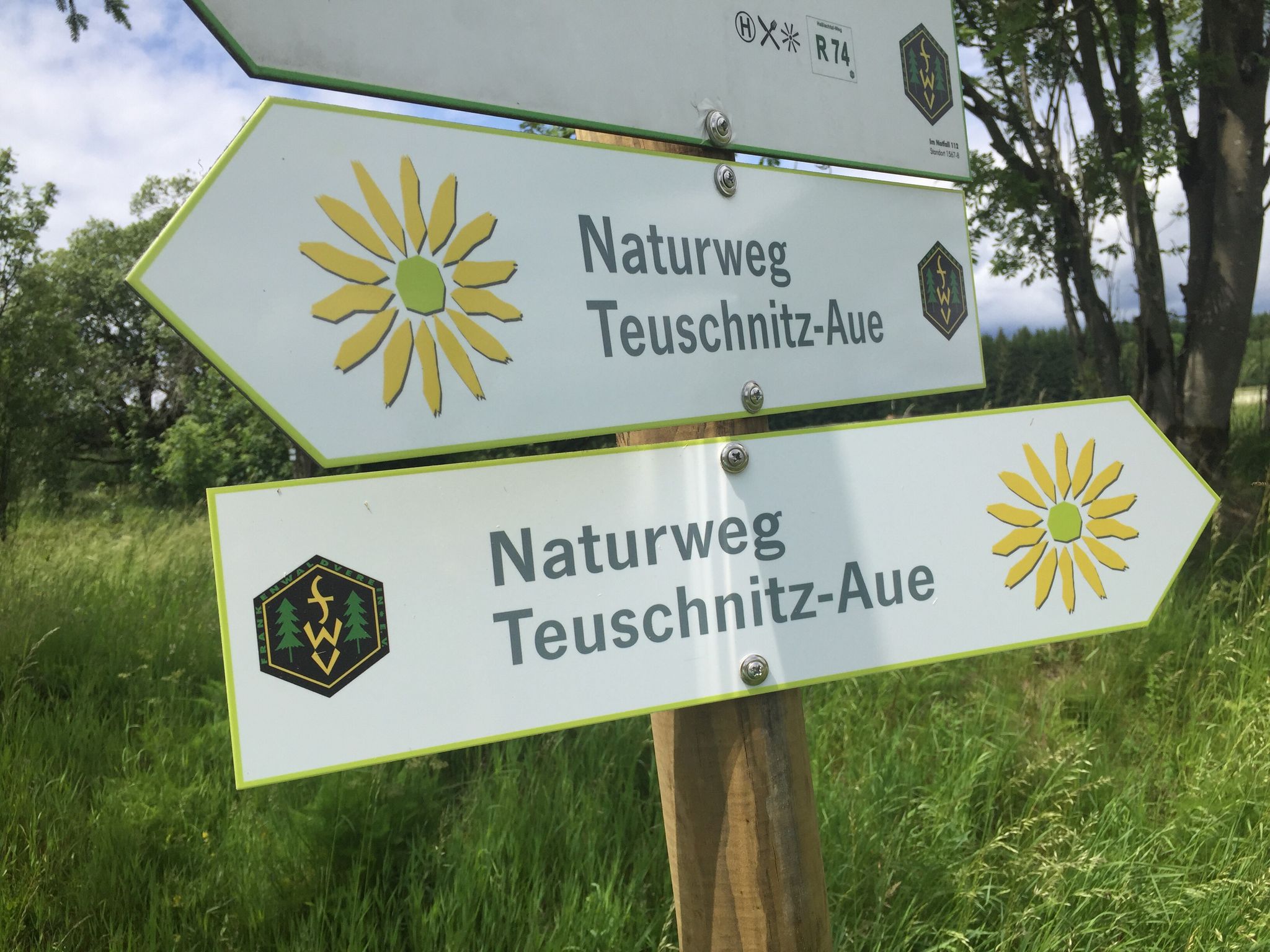
Lehrpfade und Themenwege
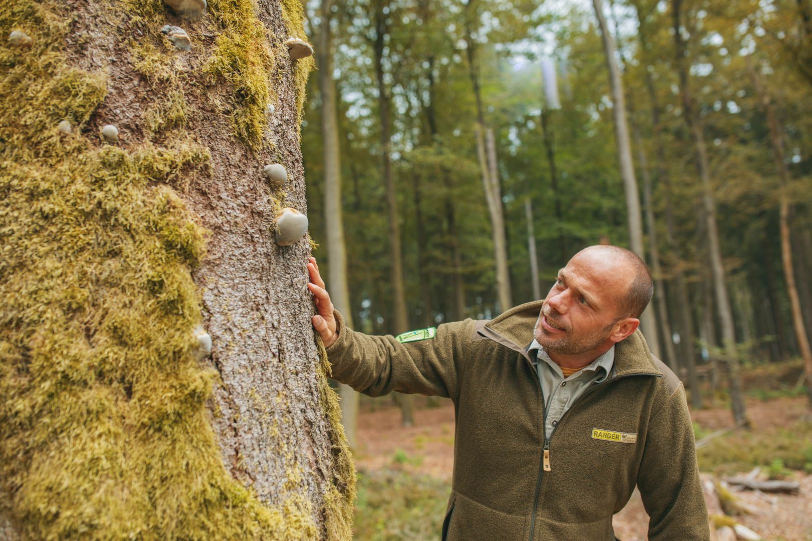
Tipps der Naturpark-Ranger
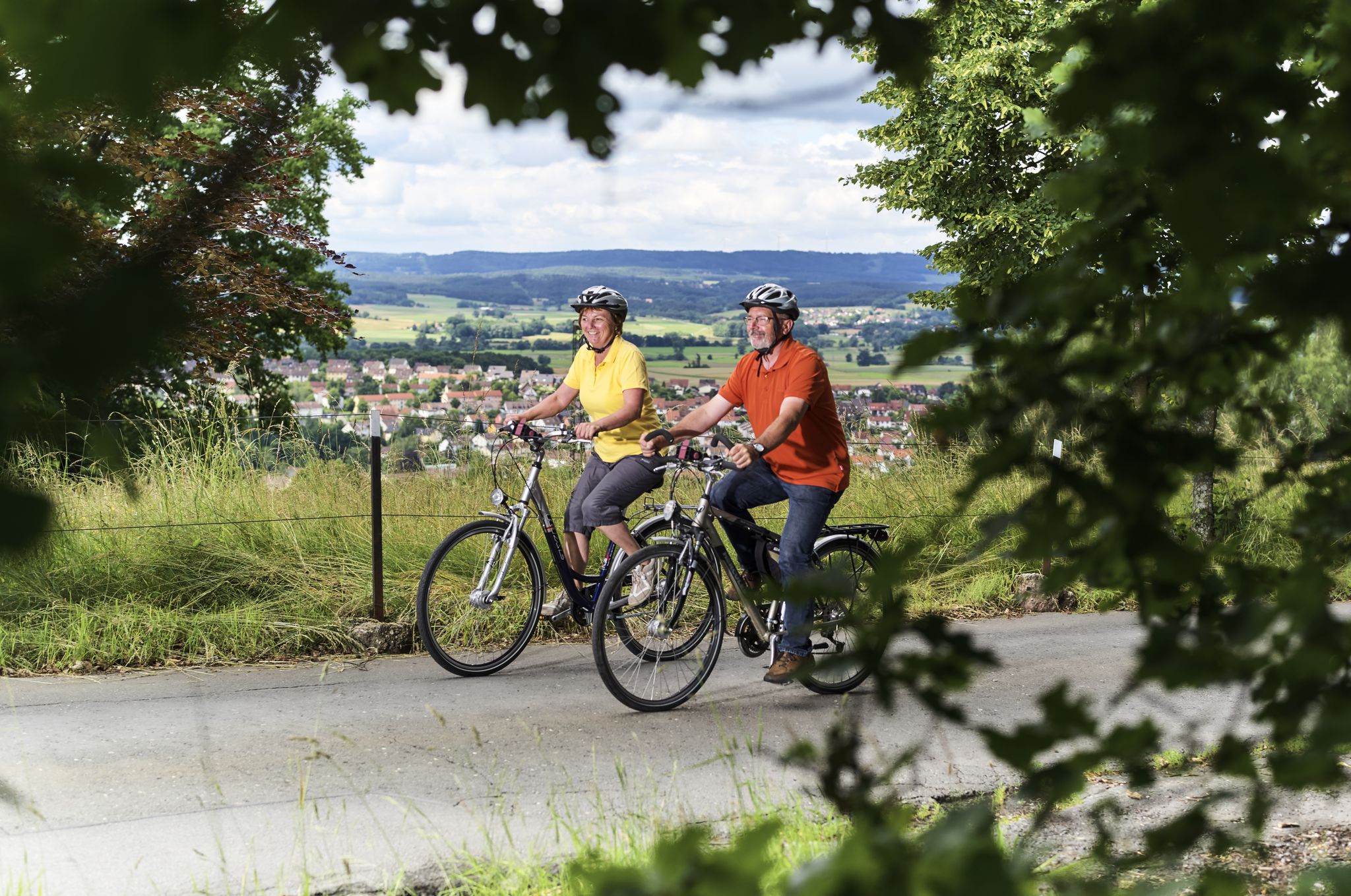
Unsere schönsten Radtouren im Frankenwald

Unsere FrankenwaldSteigla
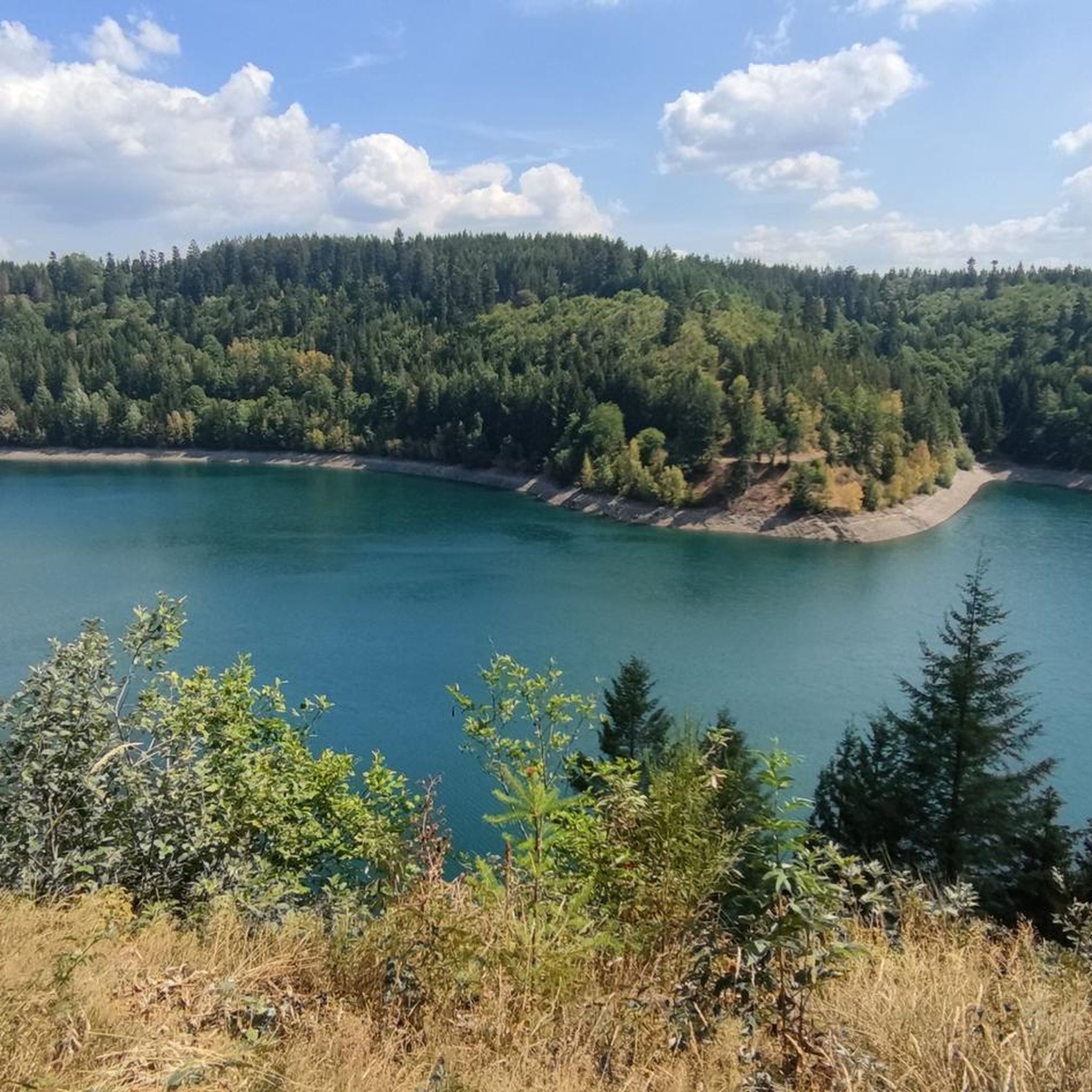
Hiking around Steinwiesen
Cycling around Steinwiesen
MTB Trails around Steinwiesen
Road Cycling Routes around Steinwiesen
Running Trails around Steinwiesen
Other adventures around Steinwiesen


Tips from the Community

The Frankenwarte (Frankenwarte) stands atop the 679-meter-high Hirschhügel (Hirschhügel). The eight-and-a-half-meter-high, round stone tower offers a panoramic view to the northeast, to the edge of the Höllental valley, to Lichtenberg and Bad Steben, and to the west to the hills near Nordhalben. To the south, Geroldsgrün, the 729-meter-high Spitzberg, and the 758-meter-high Schneidberg can be seen, and hidden behind them, the highest peak in the Franconian Forest, the 794-meter-high Döbraberg. To the southeast, the view extends to the Fichtel Mountains. The Frankenwarte was built and is maintained by the Franconian Forest Association. Plans to build an observation tower on the hill existed as early as 1930. However, the Frankenwarte was not inaugurated until August 12, 1951. In 2020, panoramic panels were installed on the parapet of the viewing platform, illustrating the towns and landscape features visible from here.
13
0

Viewpoint on the Schlossberg with a mushroom as a seat with weather protection
1
1

quite overgrown in summer
0
1

Beautiful place, worth it
0
0
Numerous hiking trails in the region lead past here. The Franconian Forest Association provides information in the entrance area about the special features of the tower and the region. There are plaques at the top to help you find your way around.
5
1

A square stone tower stands on the 678 meter high Radspitze north of Seibelsdorf on the Franconian Forest range of hills. The upper floor is paneled with larch wood and has a roof. The viewing terrace is 12.5 meters high, and there is another platform at a height of 18 meters. A comprehensive overview is offered. In the south-east you can see the Fichtelgebirge, in the south the Franconian Jura plateau with Staffelberg, in the west the Steigerwald, Hassberge and Rhön, in the north-west the Thuringian Forest and the Franconian Forest. The tower was built in 1955 with a height of 16 meters. After the lease with Loewe Opta in Kronach expired, the tower was raised and renewed in 1969. After renovations in 1980 and a general renovation in 2000, on the occasion of the 75th anniversary of the Franconian Forest Association local group Seibelsdorf, the tower shines in its current form.
3
0
Currently completely open again. Edit: February '23 closed again!
3
0

The mushroom on the Nordhalbener Schlossberg is not only an eye-catcher. For the mountain biker, its circumnavigation is also a temptation. But be careful: the terrain is described as "alpine" in the hiking guides. So it's better to admire it from afar and then meander down extremely steeply over the "Bahnsteig", which the locals actually call "Poststeig".
0
0
Frequently Asked Questions
What are the most popular elevated viewpoints around Steinwiesen?
The region around Steinwiesen, while known for rolling hills rather than towering peaks, offers several popular elevated viewpoints. The most popular is the Prinz-Luitpold Tower on Döbraberg, often called the 'Eiffel Tower of the Franconian Forest,' providing extensive views over the Franconian Forest, Fichtel Mountains, and Thuringian Forest. Another highly regarded spot is the 🏛️ Radspitz Tower, which offers a comprehensive panoramic view stretching across the Fichtelgebirge, Franconian Jura, and even the Thuringian Forest.
Are there any family-friendly elevated areas or trails near Steinwiesen?
Yes, several areas are suitable for families. The Döbraberg, the highest summit in the Franconian Forest, features well-developed cycle paths and trails that are generally accessible. Additionally, the circular path around the Ködeltalsperre (Krödel Dam) is paved and relatively flat, making it ideal for family walks, cycling, or inline skating. The Schloßberg Nordhalben Summit and Mushroom Sculpture is also listed as family-friendly.
What kind of natural features can I expect to see on the elevated trails around Steinwiesen?
You'll encounter a diverse range of natural features. The region is characterized by dense forests and rolling hills. Near the Ködeltalsperre, you can explore the 'Fjord of the Franconian Forest' with its tranquil reservoir and unique stone formations like the Nurner Brocken. Elevated areas like the Döbraberg offer expansive views over the forested landscape, while the Schloßberg Nordhalben is noted for its geological features and special microclimate supporting rare plants.
What outdoor activities can I do near the elevated areas around Steinwiesen?
The region offers a variety of outdoor activities. Hiking is very popular, with numerous trails connecting viewpoints and natural attractions. You can find many options in the Hiking around Steinwiesen guide. Cycling and mountain biking are also excellent, especially around the Döbraberg and along the paved path around the Ködeltalsperre. For more cycling routes, check out the Gravel biking around Steinwiesen guide. Running trails are also available, as detailed in the Running Trails around Steinwiesen guide.
Are there any historical or man-made monuments on the elevated points?
Yes, several elevated points feature historical or man-made structures that enhance the experience. The Prinz-Luitpold Tower on Döbraberg, inaugurated in 1902, is a prominent observation tower. The 🏛️ Radspitz Tower, rebuilt in 1955, stands on a site where wooden observation towers have existed since the 19th century. The Frankenwarte Observation Tower, built in 1951 on the Hirschhügel, also offers panoramic views and has historical significance for the region.
What is the best time to visit the mountain peaks and viewpoints around Steinwiesen?
The best time to visit is generally during the warmer months, from spring to autumn, when the weather is mild and trails are clear. During these seasons, you can fully enjoy hiking, cycling, and the panoramic views. The Prinz-Luitpold Tower on Döbraberg, for instance, is closed during the winter months and reopens annually on May 1st. Winter can offer a different, serene experience, but some facilities may be closed, and conditions can be challenging with snow and ice.
What do visitors enjoy most about the elevated areas around Steinwiesen?
Visitors particularly appreciate the breathtaking panoramic views from the various observation towers and viewpoints. The sense of accomplishment after an ascent, like to the Himmelsleiter, is often highlighted. The tranquility of the dense forests and the natural beauty of areas like the Ködeltalsperre are also highly valued. Many enjoy the well-maintained trails for hiking and cycling, and the opportunity to see diverse landscapes, from the Fichtel Mountains to the Thuringian Forest, on clear days.
Are there any easy hiking routes to elevated points near Steinwiesen?
While some ascents can be challenging, there are easier options. The circular path around the Ködeltalsperre is paved and relatively flat, offering an accessible way to enjoy the elevated reservoir area. For more varied hiking, you can explore easy routes listed in the Hiking around Steinwiesen guide, such as the 'Hiking loop from Steinwiesen' or 'Hiking loop from Berglesdorf,' which are rated as easy.
How long does it typically take to hike to the main viewpoints?
The duration of a hike depends on the specific viewpoint and your starting point. For example, the ascent to Himmelsleiter, while rewarding, can be somewhat challenging. A full circular path around the Ködeltalsperre is 11.5 kilometers, which might take a few hours to walk. Hikes to observation towers like the Prinz-Luitpold Tower or 🏛️ Radspitz Tower can be part of longer routes, but reaching the towers themselves might be a shorter, more direct effort. Many routes are available with varying lengths and difficulties in the Hiking around Steinwiesen guide.
Can I bring my dog on the mountain trails around Steinwiesen?
Generally, the natural trails and paths in the Franconian Forest Nature Park are dog-friendly, making it possible to bring your dog on most hikes around Steinwiesen's elevated areas. However, it's always advisable to keep your dog on a leash, especially in nature reserves or near wildlife, and to be mindful of other hikers and cyclists. Always check local signage for any specific restrictions in certain areas or on observation towers.
Are there any hidden gem elevated trails or viewpoints in the region?
While the main highlights are well-known, exploring the extensive network of trails can lead to quieter spots. The ascent to Himmelsleiter, though popular, offers a unique and rewarding experience with its idyllic forest paths. The Nurner Brocken, a unique stone ensemble along a hiking route connected to the Ködeltalsperre, might be considered a hidden gem for those seeking natural rock formations away from the main crowds. The Schloßberg Nordhalben also offers a great view and a chance to explore a natural monument.
What are the highest points in the Franconian Forest near Steinwiesen?
The highest point in the Franconian Forest is the Döbraberg, reaching an elevation of 794 meters. From its summit, you can enjoy a great view of the surrounding region. Other significant elevated points include the Radspitze at 678 meters, where the 🏛️ Radspitz Tower stands, and the Hirschhügel at 679 meters, home to the Frankenwarte Observation Tower.
Most popular routes around Steinwiesen
Most popular attractions around Steinwiesen

Get inspired with the komoot mobile app


Explore more
See even more amazing summits around Steinwiesen with these guides:
