The best walks and hikes around Hammah
4.6
(80)
298
hikers
27
hikes
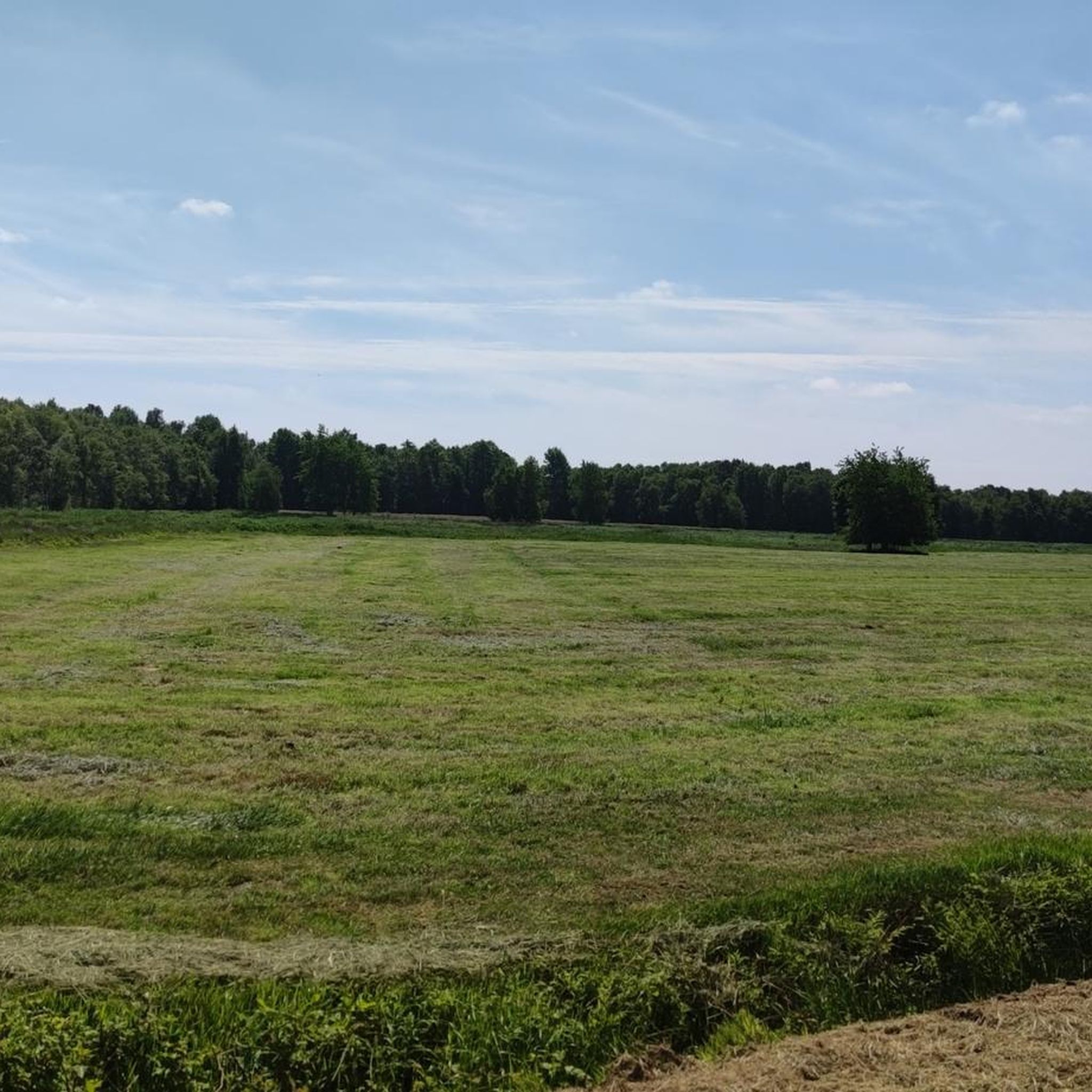
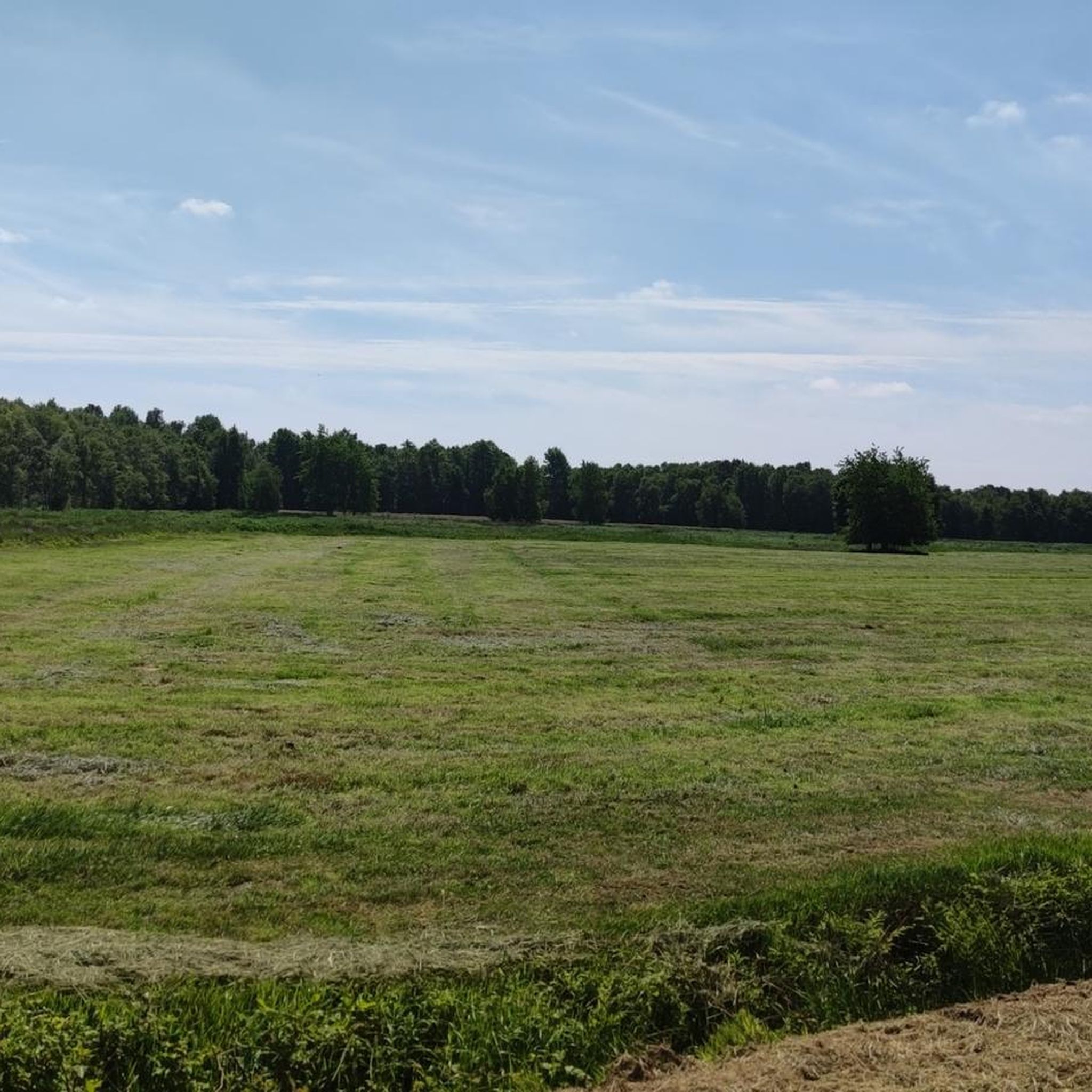
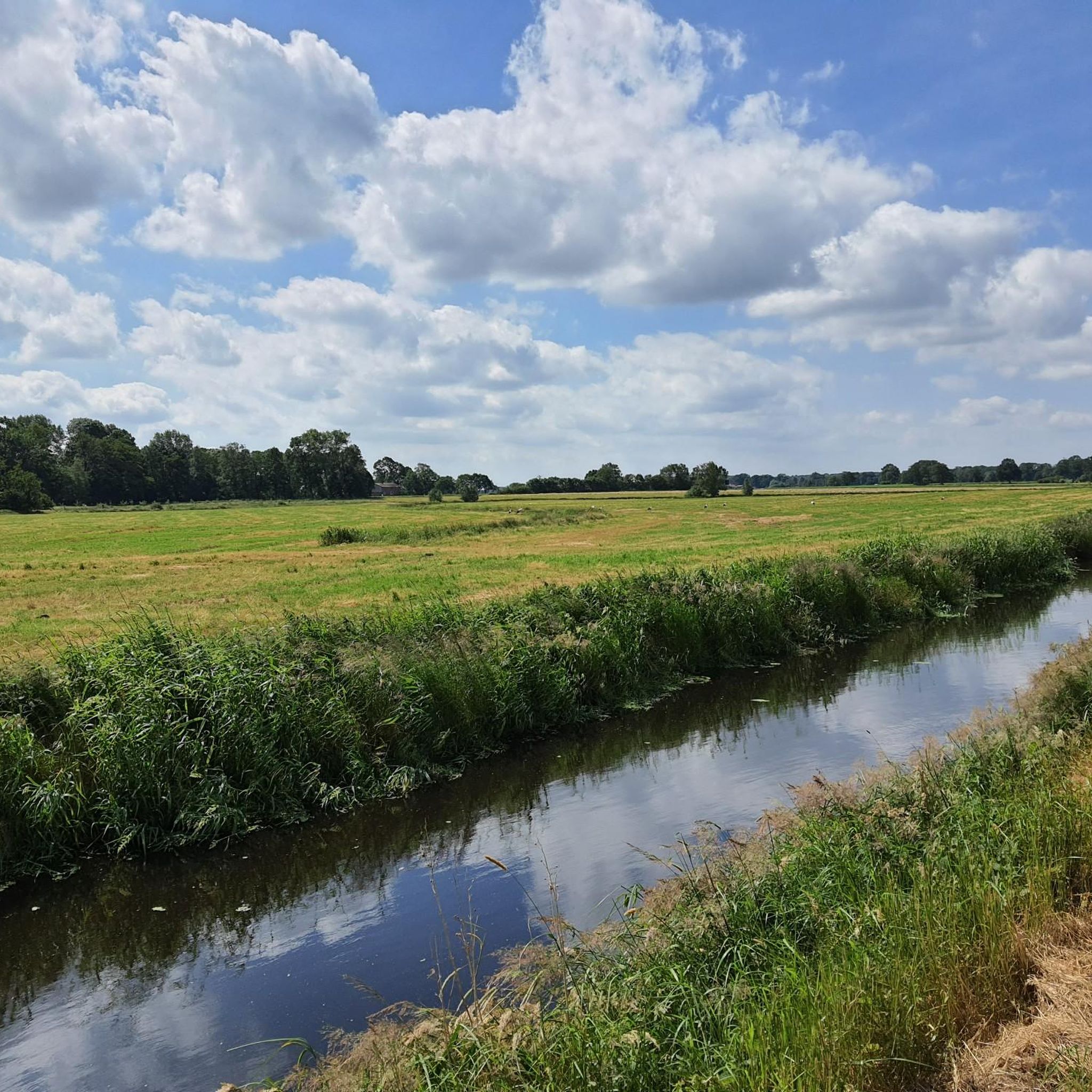
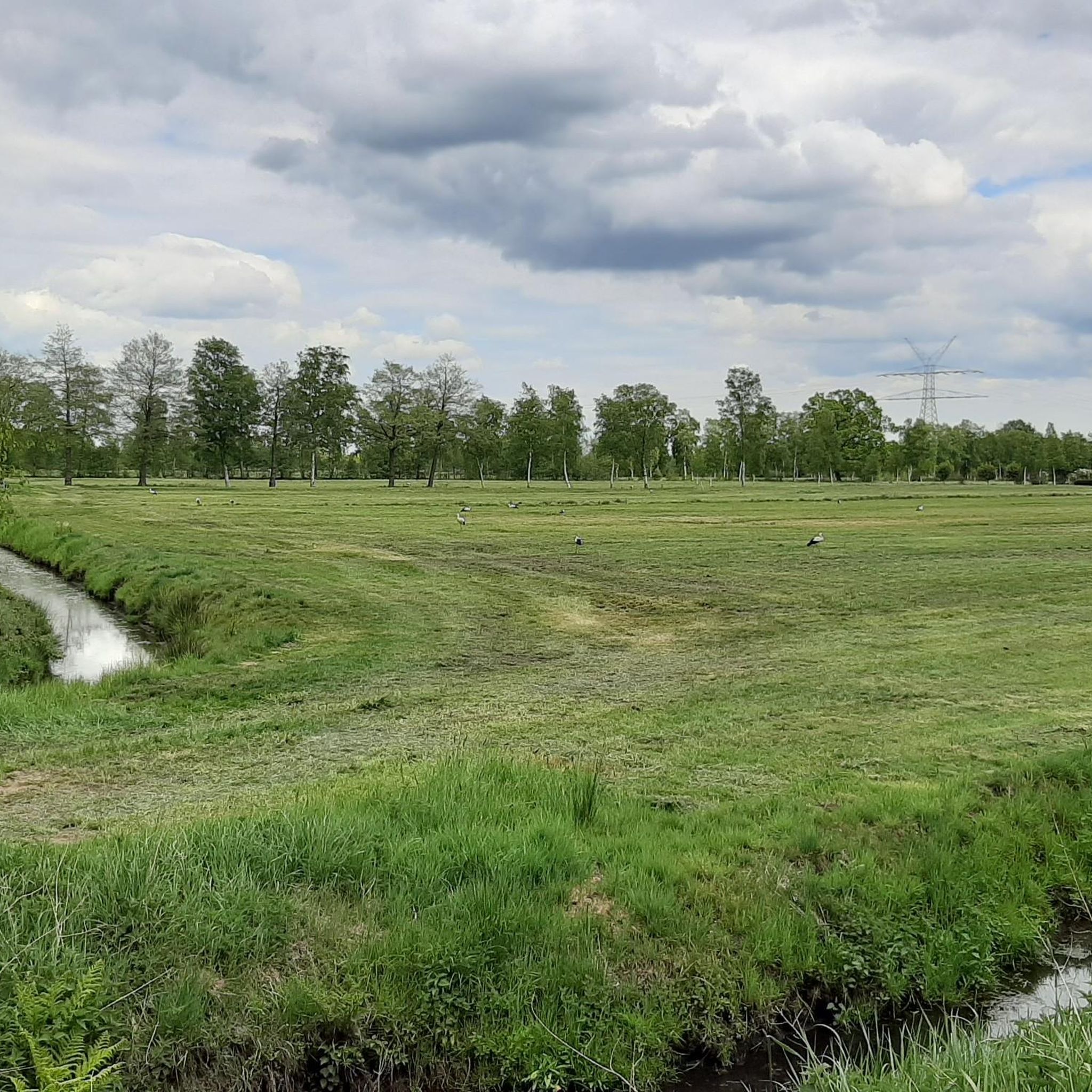
Hiking around Hammah offers routes through a landscape characterized by flat terrain, featuring the Hammaher Lake, gentle burial mounds, and rural streams. The region provides opportunities to explore open areas with windmills and agricultural settings. Elevation gains are minimal, making the area suitable for accessible walks.
Best hiking trails around Hammah
- The most popular hiking route is Hammaher Lake – Stellberge Burial Mounds loop from Sandentnahme Hammah, a 3.6 miles (5.8 km) trail that takes 1 hour 28 minutes…
Last updated: September 30, 2026
4.4
(5)
11
hikers
9.81km
02:29
10m
10m
Moderate hike. Good fitness required. Easily-accessible paths. Suitable for all skill levels.
5.0
(3)
16
hikers
Easy hike. Great for any fitness level. Easily-accessible paths. Suitable for all skill levels.

3
hikers
Easy hike. Great for any fitness level. Easily-accessible paths. Suitable for all skill levels.
2
hikers
11.4km
02:52
20m
20m
Moderate hike. Good fitness required. Easily-accessible paths. Suitable for all skill levels.
4
hikers
7.80km
01:59
10m
10m
Easy hike. Great for any fitness level. Easily-accessible paths. Suitable for all skill levels.
Get access to more routes and recommendations from other explorers.
Already have an account?
Our route recommendations are based on thousands of hikes, rides, and runs completed by other people on komoot.
Start today with a free account
Your next adventure awaits.
Tips from the Community

Nice here, but unfortunately lots of broken glass on the surrounding paths (May 2026). Plan for patches...
0
0

They are there. But you have to look for them
1
0

A great bike and hiking trail runs here amidst beautiful nature. Nowadays, the natural stone grave is located very idyllically in the forest area. The information sign no longer exists and the council hut is also very neglected. A shame, a beautiful spot here. Vandalism has occurred at the hut 😑. If you go along the narrow path to the right of the hut, you will reach the natural stone grave.
2
0
A great bike and hiking trail runs along here amidst beautiful nature. Nowadays, the natural stone grave is located very idyllically in the forest area. The information sign no longer exists and the Ratshütte is also very neglected. A pity, a beautiful spot here. Vandalism was carried out at the hut 😑. If you go along the narrow path to the right of the hut, you will reach the natural stone grave.
5
0
Next event: German Mill Day on May 25, 2026. It is advisable to check the website muehle-grefenmoor.de for short-term updates. https://muehle-grefenmoor.de/events/ A great cycling and hiking route leads past the Kornwindmühle Amanda. Some events take place here throughout the year and a covered rest area is available.
1
0
Next event: German Mill Day on May 25, 2026. It is recommended to check the website muehle-grefenmoor.de for short-term updates. https://muehle-grefenmoor.de/events/
3
2
A great cycling and hiking route leads along the Amanda corn mill. Several events take place here throughout the year and there is a covered rest area available.
3
2
Frequently Asked Questions
How many hiking trails are available in Hammah?
Hammah offers a diverse network of over 30 hiking routes. These trails cater to various preferences, with the majority being easy to moderate, making them accessible for many hikers.
Are there easy hiking options suitable for beginners or families in Hammah?
Yes, Hammah is particularly well-suited for beginners and families, with 26 out of 34 routes classified as easy. These trails typically feature minimal elevation gain and pleasant scenery. A great option is the Hammaher Lake – Stellberge Burial Mounds loop from Sandentnahme Hammah, which is 3.6 miles long and takes about 1 hour 28 minutes.
Can I find circular hiking routes in Hammah?
Many of the hiking routes in Hammah are designed as loops, offering convenient circular walks. Examples include the popular Hammaher Lake – Stellberge Burial Mounds loop from Sandentnahme Hammah and the Windmill – Amanda grain windmill loop from Landkreis Stade, allowing you to start and end at the same point.
What kind of landscapes can I expect to see while hiking in Hammah?
Hiking in Hammah offers routes through flat terrain, characterized by the serene Hammaher Lake, gentle Stellberge Burial Mounds, and tranquil rural streams. You'll also encounter open agricultural settings and views of windmills, providing a peaceful, rural experience.
Are there any interesting sights or attractions near the hiking trails in Hammah?
Absolutely. Beyond the trails themselves, you can explore several nearby attractions. Consider visiting the Old town of Stade, the historic Old Harbor and Fish Market Stade, or the scenic Elbe Beach, Twielenfleth. For nature lovers, the Apple Orchards in Altes Land are also a beautiful sight.
What is the best time of year to go hiking in Hammah?
Hammah's trails are generally accessible year-round due to the minimal elevation changes and flat terrain. Spring and autumn offer pleasant temperatures and vibrant natural colors, while summer is ideal for longer days. Even in winter, many routes remain enjoyable as they are typically snow-free.
Are dogs allowed on the hiking trails in Hammah?
Yes, Hammah's trails are generally dog-friendly, making it a great destination for hiking with your canine companion. Always ensure your dog is under control, and be mindful of local regulations, especially in agricultural areas or near wildlife.
Are there options for longer or more challenging hikes in Hammah?
While most routes are easy, Hammah does offer some moderate options for those seeking a bit more distance. For example, the Hammaher See Viewpoint – Hammaher Lake loop from Hammah is a moderate 7.1-mile (11.5 km) trail that provides a longer exploration of the lake area.
What do other hikers say about the trails in Hammah?
The hiking trails in Hammah are highly rated by the komoot community, with an average score of 4.6 stars from over 70 reviews. Hikers often praise the peaceful rural atmosphere, the well-maintained paths, and the accessibility of the routes around Hammaher Lake and the burial mounds.
Are there any shelters or huts along the hiking routes in Hammah?
Yes, you can find several shelters and huts in the vicinity of Hammah's hiking trails. Notable options include Herbert's Hut and the Deekenhörn Shelter, which can offer a place to rest or take cover during your hike.
Where can I park when starting a hike in Hammah?
Specific parking information varies by trail, but many routes, such as the Hammaher Lake – Stellberge Burial Mounds loop, often have designated starting points like 'Sandentnahme Hammah' which typically include parking facilities. Look for parking areas near trailheads or local points of interest.
Can I reach the hiking trails in Hammah by public transport?
While Hammah is a rural area, some starting points for hikes may be accessible via local bus services. It's advisable to check local public transport schedules for connections to Hammah and specific trailheads before planning your trip.
Most popular attractions around Hammah

Get inspired with the komoot mobile app


Explore more
Browse the best Hikes in other regions.
