Top 19 Gorges around Rückersdorfer Forst
Canyons around Rückersdorfer Forst are primarily characterized by a network of gorges and ravines, offering diverse natural landscapes. The region's geological features include exposed Burgsandstein formations, which are visible in several of these natural cuts. These areas provide accessible outdoor experiences, with trails winding through varied terrain. The Bitterbachschlucht stands out as a significant natural attraction, known for its unique geological and ecological importance.
Best canyons around Rückersdorfer Forst
- The most popular canyons is Röthenbach Gorge, a gorge that…
Last updated: September 25, 2026
Bitterbach Gorge
Highlight (Segment) • Gorge
Translated by Google •
Tip by

Klingender Waterfall
Highlight • Waterfall
Translated by Google •
Tip by

Sign up now to discover places like this
Get recommendations on the best single tracks, peaks, & plenty of other exciting outdoor places.
Röthenbach Gorge
Highlight • Gorge
Attention: At times there are a lot of mountain bikers on the way.
Translated by Google •
Tip by

Old Stone Bridge
Highlight • Bridge
Translated by Google •
Tip by

Teufelsbadstube Gorge
Highlight • Gorge
Translated by Google •
Tip by

Sign up for free to discover even more gorges around Rückersdorfer Forst.
Already have an account?
Start today with a free account
Your next adventure awaits.
Popular around Rückersdorfer Forst
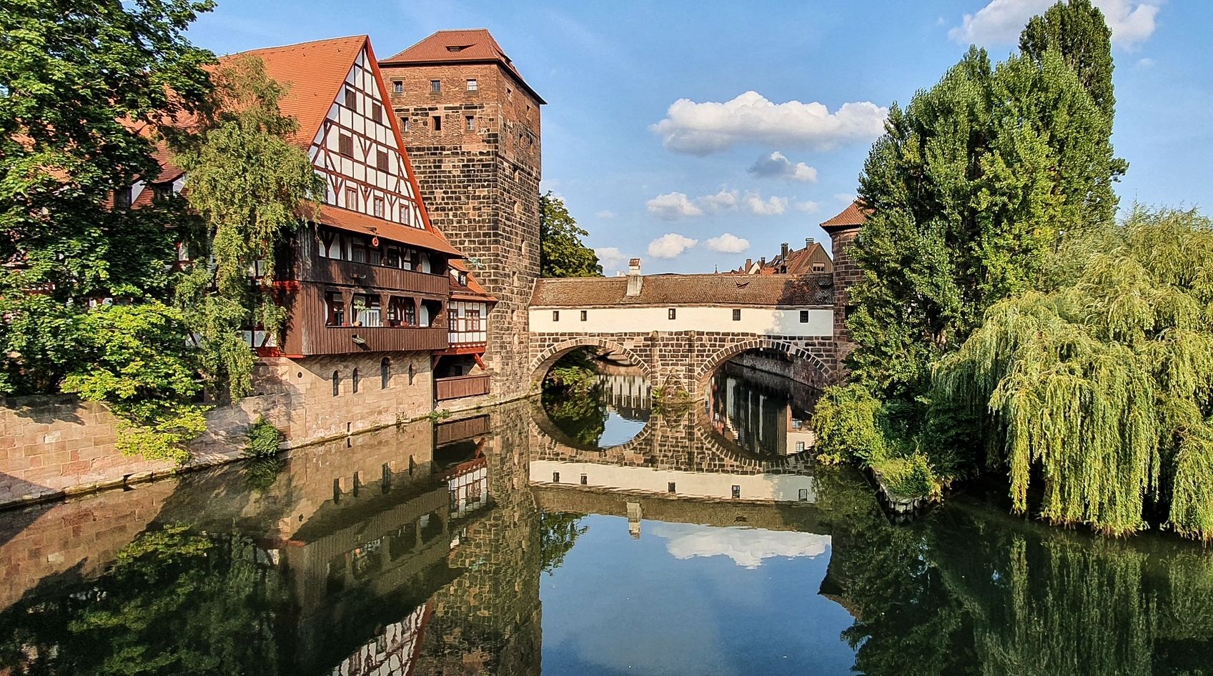
Countryside rides — exploring Nuremberg, Erlangen & Fürth
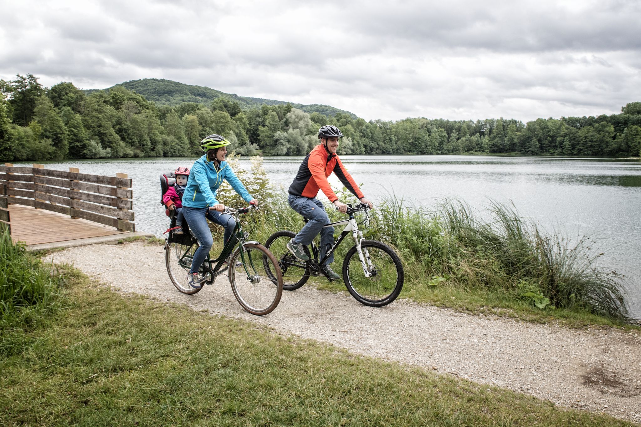
Incredible cycling in the Nuremberg region
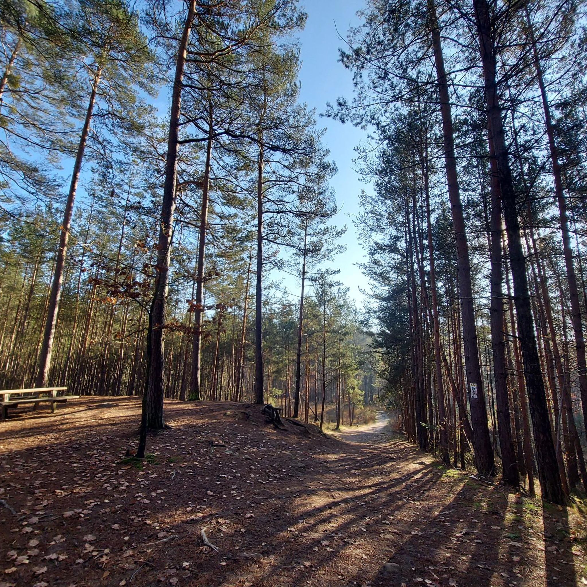
Cycling around Rückersdorfer Forst
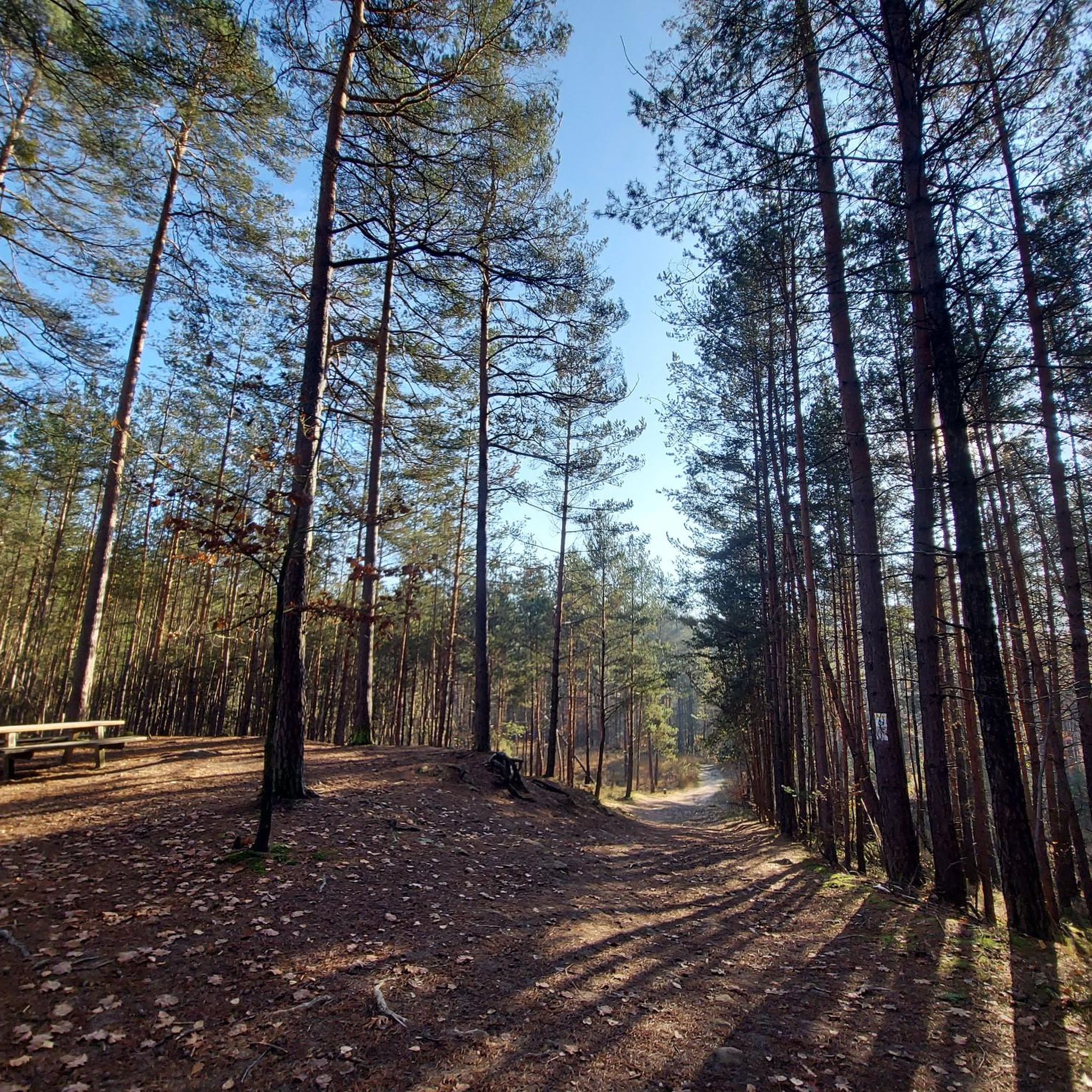
Hiking around Rückersdorfer Forst
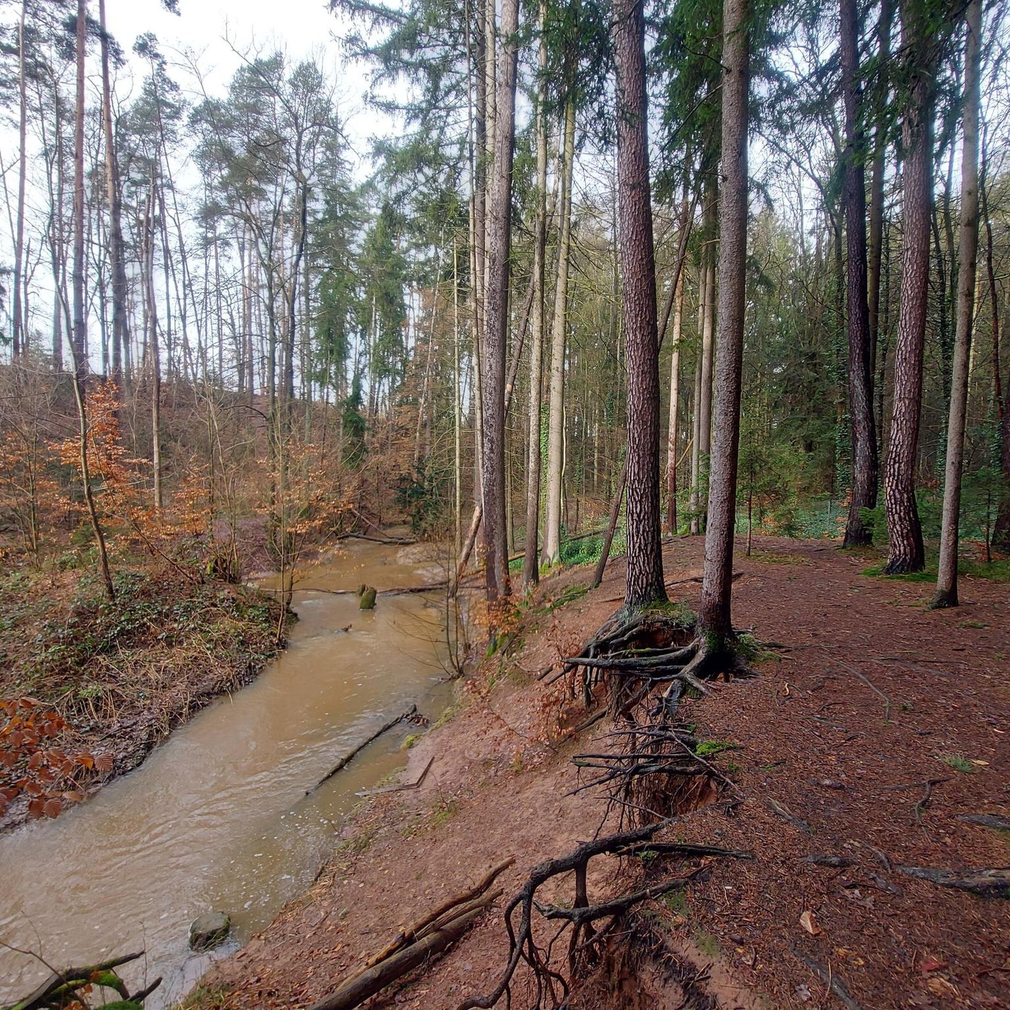
Running Trails around Rückersdorfer Forst
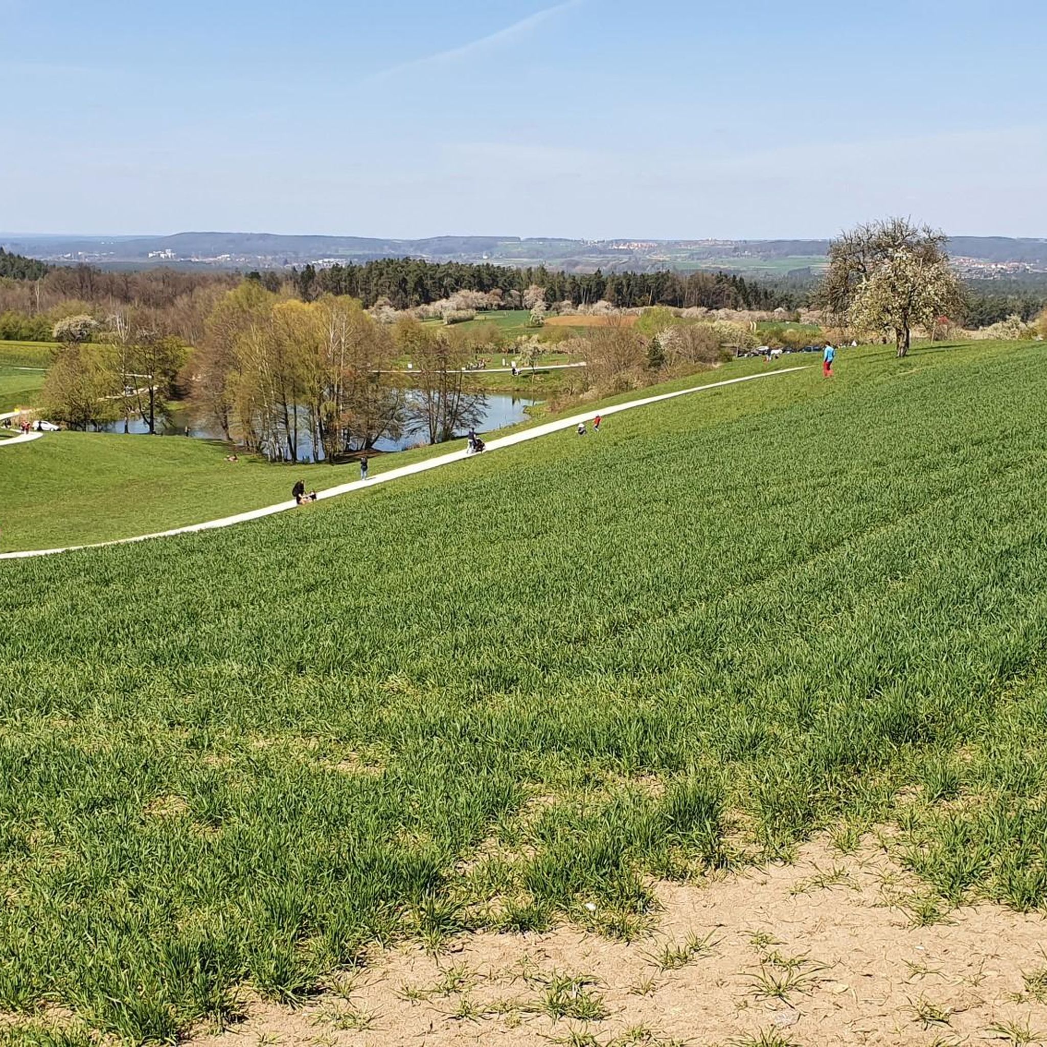
Road Cycling Routes around Rückersdorfer Forst
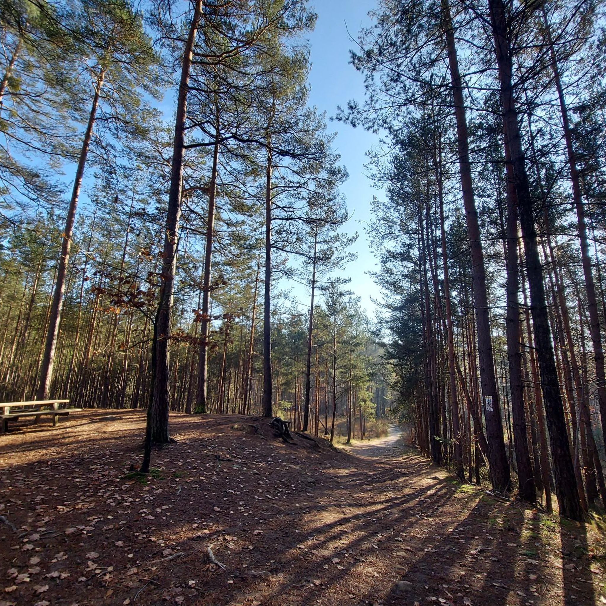
MTB Trails around Rückersdorfer Forst
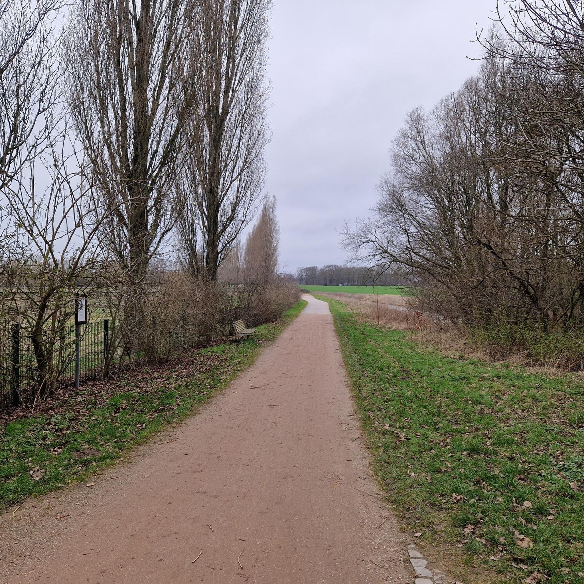
Gravel biking around Rückersdorfer Forst
Other adventures around Rückersdorfer Forst


Tips from the Community

Small but nice. When it rains it can be a bit slippery, so be careful
4
1

Very nice viewpoint to the Teufelsbadstube with a small information sign The Teufelsbadstube is about 500 meters long, up to 75 meters wide and up to 25 meters deep. The gorge is partly surrounded by weathered sandstone rock formations. The Teufelsgraben stream that flows through the gorge rises about 400 meters east of the Teufelsbadstube and is additionally fed by the Stephansquelle near the Felsenkeller. After about two kilometers, the Teufelsgraben joins the Röstgraben and subsequently becomes the Eschergraben. A small waterfall has formed in the upper part of the gorge. The water falls about 2 meters down over a layer. The gorge is largely overgrown and difficult to access.
6
0

https://www.via-ferrata.de/touren/gps/rundwandel-teufelsbadstube-kalchreuth-im-winter Lots of icicles at the moment
7
0

In the small but wildly romantic gorge, the Röthenbach flows over a length of around 300 meters, partly between heavily weathered sandstone rock formations up to five meters high. At the entrance to the gorge, close to the town of Röthenbach, the stream has created a small waterfall; The river drops three meters over two small steps. In the subsequent rock sections, impressive erosion, smaller caves and weathering can be found, and further along there are also remains of previous rock falls. The sandstone banks of the upper Keuper can be clearly seen on the impact slopes and other outcrops. In the wide Kerbsohlental below the gorge, the stream then meanders in wide arcs. Source: Wikipedia
8
0
The Rumpelbachschlucht is a small sandstone gorge in Middle Franconia (Bavaria) in the Altdorf district of Röthenbach. It is also called Röthenbachklamm after the Röthenbach, which flows into the Pegnitz near the town of Röthenbach and has a rocky notch on its upper reaches. n the small but wildly romantic gorge, the Röthenbach flows over a length of around 300 meters, partly between heavily weathered sandstone rock formations up to five meters high. At the entrance to the gorge, close to the town of Röthenbach, the stream has created a small waterfall; The river drops three meters over two small steps. In the subsequent rock sections, impressive erosion, smaller caves and weathering can be found, and further along there are also remains of previous rock falls. The sandstone banks of the upper Keuper can be clearly seen on the impact slopes and other outcrops. In the wide Kerbsohlental below the gorge, the stream then meanders in wide arcs. Source: Wikipedia
8
0

Geotope Teufelsbadstube / Teufelsgraben The Teufelsbadstube is around 500 meters long, up to 75 meters wide and up to 25 meters deep. The gorge is partly surrounded by weathered sandstone rock formations. The Teufelsgraben stream that flows through the gorge rises about 400 meters east of the Teufelsbadstube and is also fed by the Stephansquelle near the Felsenkeller. After about two kilometers the Teufelsgraben joins the Röstgraben and then becomes the Eschergraben. A small waterfall has emerged in the upper part of the gorge. The water falls here over a stratum about 2 meters deep. The area is designated as geotope 572R001 by the Bavarian State Office for the Environment. tourism The Teufelsbad step is a local tourist destination and is freely accessible all year round. Numerous hiking trails lead to this place, where there is also a beer cellar that is served in the summer months.
8
0

A gorge worth seeing directly at the Kalchreuther Felsenkeller, caution is advised on the stairs in wet and snowy conditions.
18
1

Always fascinating, sometimes more, sometimes less water and again completely different when you walk along the stream bed in dry weather
8
0
Frequently Asked Questions
What are the most notable gorges and natural features in the Rückersdorfer Forst region?
The most prominent natural feature is the Bitterbach Gorge, known for its unique Burgsandstein formations and lush vegetation. Other significant gorges include Röthenbach Gorge, offering a scenic hiking route along a stream, and Teufelsbadstube Gorge, featuring weathered sandstone and a small waterfall when water levels are high.
When is the best time to visit the gorges around Rückersdorfer Forst?
Spring, especially after snowmelt, is an ideal time to visit as the streams, particularly in the Bitterbach Gorge and Teufelsbadstube Gorge, will have more water, enhancing the scenic beauty of the waterfalls and water features. Summer offers shady trails, while autumn brings colorful foliage.
Are the trails in the gorges around Rückersdorfer Forst suitable for families?
Yes, many trails are considered easy and suitable for all fitness levels, making them family-friendly. The geo-ecological nature trail in the Bitterbach Gorge, for example, is approximately 3 kilometers long with minimal elevation gain, offering an accessible and educational experience. The Klingender Waterfall is also listed as family-friendly.
Can I bring my dog to the gorges in Rückersdorfer Forst?
Generally, dogs are welcome on the trails in the Rückersdorfer Forst. However, it's always recommended to keep them on a leash, especially in protected areas and near wildlife, and to clean up after them. Specific regulations might apply in certain sections, so look for local signage.
What kind of hiking experiences can I expect in the gorges?
You can expect varied hiking experiences along rustic forest paths, showcasing unique rock formations, bridges, and boardwalks. Trails often wind along streams, offering a mix of shaded forest and open views of sandstone outcrops. The Röthenbach Gorge is particularly noted for its many bends in the stream and bridges.
Are there any specific geological formations or unique rocks to look out for?
Yes, the region is characterized by its reddish, coarse-grained Burgsandstein (castle sandstone) formations. In the Bitterbach Gorge, you can observe charming Burgsandstein outcrops and incisions with steep, sometimes undercut gorge walls, which are rarely exposed elsewhere in the surrounding area.
What outdoor activities are available near the gorges in Rückersdorfer Forst?
Beyond exploring the gorges, the Rückersdorfer Forst offers extensive opportunities for hiking, cycling, and road cycling. You can find numerous routes, including easy loops like the "Bridge Over the Bitterbach – Bitterbach Gorge loop" or more challenging cycling tours. For detailed routes, refer to the Hiking around Rückersdorfer Forst and Cycling around Rückersdorfer Forst guides.
Where can I find parking when visiting the gorges?
Parking is generally available near popular access points to the gorges, such as around Lauf an der Pegnitz for the Bitterbach Gorge. Specific parking areas are often signposted at trailheads. It's advisable to check local maps or navigation apps for the most convenient parking options for your chosen starting point.
Are there any cafes or restaurants near the gorges for refreshments?
While the gorges themselves are natural areas, you can find cafes, pubs, and accommodation in nearby towns like Lauf an der Pegnitz. The Teufelsbadstube Gorge is even directly located near the Kalchreuther Felsenkeller, which serves as a beer cellar during summer months.
What do visitors enjoy most about the gorges in Rückersdorfer Forst?
Visitors frequently praise the natural beauty and tranquility of the gorges. They appreciate the varied hiking routes, the unique geological formations like the Burgsandstein, and the lush, almost jungle-like vegetation. The presence of water features, especially after rain or snowmelt, and the well-maintained trails with bridges and boardwalks also contribute to a highly enjoyable experience.
What is the difficulty level of hiking in the gorges?
Most trails through the gorges, such as the Bitterbach Gorge, are considered easy to intermediate. They typically involve minimal elevation gain and are suitable for casual hikers. However, some sections, especially in wet conditions, might require caution due to slippery paths or stairs, as noted for the Teufelsbadstube Gorge.
Are there any less crowded gorges to visit in the area?
While the Bitterbach Gorge is popular, the Rückersdorfer Forst contains several smaller ravines like Brunnwieselgraben and Kreuzgraben. Exploring these might offer a quieter experience, though they may have less developed trails or fewer specific features compared to the main gorges.
Most popular routes around Rückersdorfer Forst
Most popular attractions around Rückersdorfer Forst

Get inspired with the komoot mobile app


Explore more
Already discovered everything in this region? See additional gorges around Rückersdorfer Forst for your next adventure:
