The best cycling routes in Tlalmanalco
4.5
(5)
67
riders
7
rides
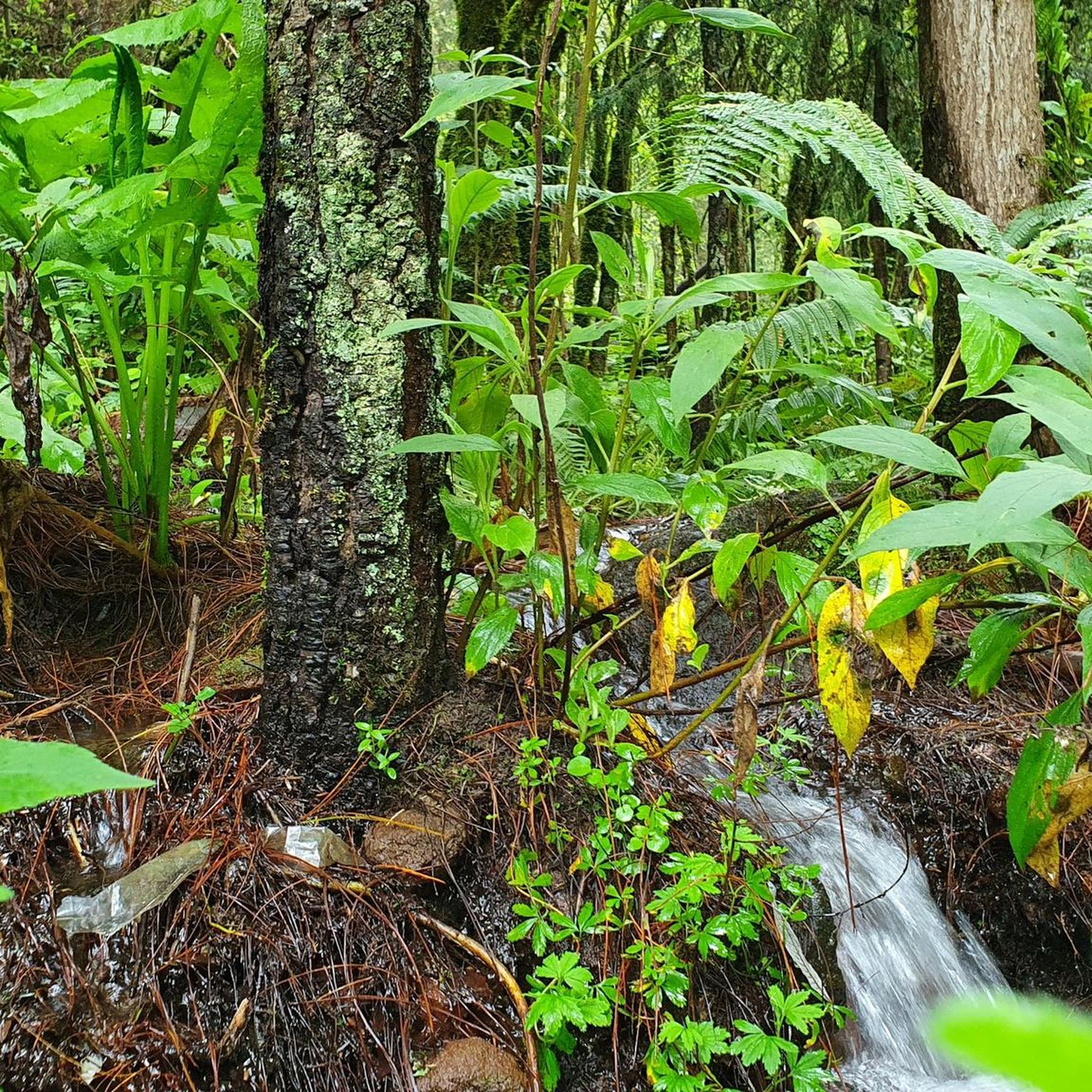
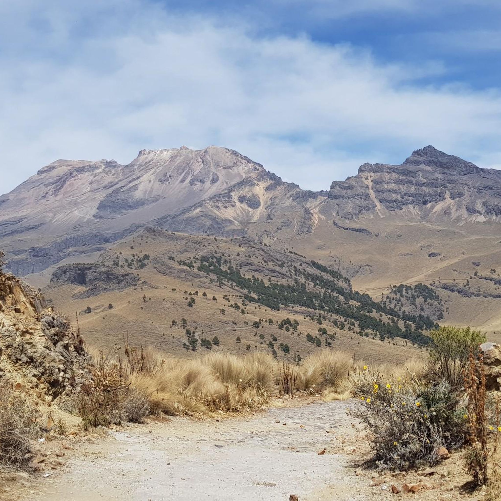
Touring cycling in Tlalmanalco offers routes through volcanic landscapes and dense pine forests at the base of the Iztaccíhuatl volcano. The region is characterized by significant elevation changes, providing challenging terrain for cyclists. Routes often traverse varied ecosystems, from coniferous forests to high mountain meadows, with some paths featuring volcanic ash. This area provides a setting for touring cyclists seeking routes with substantial climbs and high altitudes.
Best touring cycling routes in Tlalmanalco
- The most popular touring cycling route is…
Last updated: July 29, 2026
4.0
(3)
30
riders
50.2km
03:53
1,330m
1,330m
Hard bike ride. Very good fitness required. Mostly paved surfaces. Suitable for all skill levels.
5.0
(2)
29
riders
35.9km
02:57
1,150m
1,150m
Hard bike ride. Very good fitness required. Mostly paved surfaces. Suitable for all skill levels.

Sign up for free
3
riders
10.4km
01:07
230m
230m
Moderate bike ride. Good fitness required. Mostly paved surfaces. Suitable for all skill levels.
2
riders
17.0km
01:04
80m
80m
Easy bike ride. Great for any fitness level. Mostly paved surfaces. Suitable for all skill levels.
2
riders
Hard bike ride. Very good fitness required. Mostly paved surfaces. Suitable for all skill levels.
2
riders
20.9km
01:59
500m
500m
Hard bike ride. Very good fitness required. Mostly paved surfaces. Suitable for all skill levels.
5.0
(1)
1
riders
24.1km
01:34
190m
190m
Moderate bike ride. Good fitness required. Mostly paved surfaces. Suitable for all skill levels.
Our route recommendations are based on thousands of hikes, rides, and runs completed by other people on komoot.
Start today with a free account
Your next adventure awaits.
Login or Signup
Popular around Tlalmanalco
Tips from the Community


The air is getting quite thin once you get closer to the top. Allow yourself enough time to get up there. We had to take a lot of breaks and needed around 4 to 5 hours to get there!
1
0

Starting point for hikes on the volcanoes. Located at 3,600 meters, the air is much thinner.
2
0

From here you will be able to appreciate, if the weather allows it, our famous active volcano, Popocatépetl, which is majestic at all times of the year. Of course there are more points where you can appreciate it, but riding a bike and being able to enjoy it on the move is the best.
2
0
Frequently Asked Questions
How many touring cycling routes are available in Tlalmanalco?
Tlalmanalco offers a selection of 7 touring cycling routes. These routes cater to various skill levels, including 2 easy, 2 moderate, and 3 difficult options, ensuring there's a suitable ride for most cyclists.
What kind of terrain can I expect on touring cycling routes in Tlalmanalco?
The terrain in Tlalmanalco is characterized by dramatic volcanic landscapes and dense pine forests. Cyclists should be prepared for significant elevation changes, with routes often traversing varied ecosystems from coniferous forests to high mountain meadows. Some paths may feature volcanic ash, offering a unique riding experience.
Are there any easy touring cycling routes for beginners in Tlalmanalco?
Yes, Tlalmanalco has easy touring cycling routes suitable for beginners. An example is the Parque Amecameca loop from Amecameca, which covers 10.6 miles (17 km) with minimal elevation gain, making it a good starting point for less experienced riders.
What are some of the most challenging touring cycling routes in Tlalmanalco?
For experienced touring cyclists seeking a challenge, routes like the Route of the Volcanoes – Paso de Cortés loop from Amecameca are ideal. This route spans 31.3 miles (50.4 km) with substantial elevation gain through volcanic terrain. Another demanding option is the Route of the Volcanoes – Paso de Cortés loop from San Pedro Nexapa, offering high-altitude cycling over 22.3 miles (35.9 km).
Can I find circular touring cycling routes in Tlalmanalco?
Yes, many of the touring cycling routes in Tlalmanalco are designed as loops, allowing you to start and end at the same point. Examples include the Summit of Popocatépetl – Paso de Cortés loop from Paso de Cortés and the Parque Amecameca loop from Ayapango.
What natural features or landmarks can I see along the touring cycling routes?
Touring cycling routes in Tlalmanalco offer stunning views of the Iztaccíhuatl volcano, Mexico's second-highest peak. You can also explore dense pine and oyamel forests, and some routes may pass near areas with impressive waterfalls, such as those found in Parque Ecoturístico Dos Aguas, which is known for the Cascada de los Diamantes.
What is the best time of year to go touring cycling in Tlalmanalco?
Given the high altitudes and volcanic terrain, the best time for touring cycling in Tlalmanalco is generally during the dry season, which typically runs from November to May. This avoids the heavy rains of the wet season and offers clearer skies for panoramic views of the volcanoes. However, always check local weather conditions before heading out.
Are there any family-friendly touring cycling routes in Tlalmanalco?
While many routes involve significant elevation, easier loops like the Parque Amecameca loop from Amecameca could be suitable for families with older children or those accustomed to some climbing. Always consider the fitness level of all family members and the route's difficulty before embarking.
Are touring cycling routes in Tlalmanalco suitable for dogs?
While specific regulations for dogs on cycling routes can vary, the natural environment of Tlalmanalco, with its forests and open spaces, can be enjoyable for dogs. However, due to the challenging terrain and potential for high altitudes, it's crucial to assess your dog's fitness and ensure they are comfortable with longer, more strenuous rides. Always keep dogs on a leash and clean up after them.
What do other cyclists say about touring cycling in Tlalmanalco?
The touring cycling routes in Tlalmanalco are highly rated by the komoot community, with an average score of 4.8 stars from over 8 reviews. Cyclists often praise the challenging climbs, the breathtaking volcanic scenery, and the immersive experience of riding through dense forests and high mountain passes.
What are the typical elevation changes on touring cycling routes in Tlalmanalco?
Touring cycling in Tlalmanalco is known for its significant elevation changes. Routes can feature climbs ranging from around 230 meters (750 feet) on moderate trails like the Summit of Popocatépetl – Paso de Cortés loop from Paso de Cortés, to over 1,300 meters (4,265 feet) on difficult routes such as the Route of the Volcanoes – Paso de Cortés loop from Amecameca. Cyclists should be prepared for substantial ascents and descents.
Are there places to eat or stay near the touring cycling routes?
Tlalmanalco and nearby towns like Amecameca offer various amenities. While specific cafes or accommodations directly on every route might be limited, you can find options for food and lodging in these towns, especially around popular starting points for tours. Parque Ecoturístico Dos Aguas also provides camping facilities and cabanas for overnight stays.

Get inspired with the komoot mobile app


Explore more
Browse the best Cycling routes in other regions.
