The best road cycling routes in Juchitepec
4.9
(32)
499
riders
5
rides
Road cycling in Juchitepec features routes that traverse varied terrain, including ascents to viewpoints and loops around significant monuments. The region's landscape is characterized by rolling hills and open areas, offering diverse cycling experiences. Routes often connect towns and natural features, providing both cultural and scenic elements. The network includes options for different skill levels, from moderate paths to more challenging climbs.
Best road cycling routes in Juchitepec
- The most popular road cycling route is Paso de Cortés – Paso…
Last updated: July 29, 2026
5.0
(2)
41
riders
50.5km
03:06
1,330m
1,330m
Hard road ride. Very good fitness required. Mostly well-paved surfaces and easy to ride.
4.6
(7)
11
riders
31.0km
01:36
550m
550m
Moderate road ride. Good fitness required. Mostly well-paved surfaces and easy to ride.

Sign up for free
3
riders
42.9km
01:53
400m
400m
Moderate road ride. Good fitness required. Mostly well-paved surfaces and easy to ride.
2
riders
27.5km
01:35
590m
590m
Moderate road ride. Good fitness required. Mostly well-paved surfaces and easy to ride.
5.0
(1)
1
riders
38.4km
01:58
330m
330m
Moderate road ride. Good fitness required. Mostly well-paved surfaces and easy to ride.
Our route recommendations are based on thousands of hikes, rides, and runs completed by other people on komoot.
Start today with a free account
Your next adventure awaits.
Login or Signup
Popular around Juchitepec
Tips from the Community


Ideal for a final uphill sprint and a break or as a meeting point for the group. 🚴
0
0
Ideal for taking a break with the group and spending some quality time in the shop. 🙌🏼✨
0
0

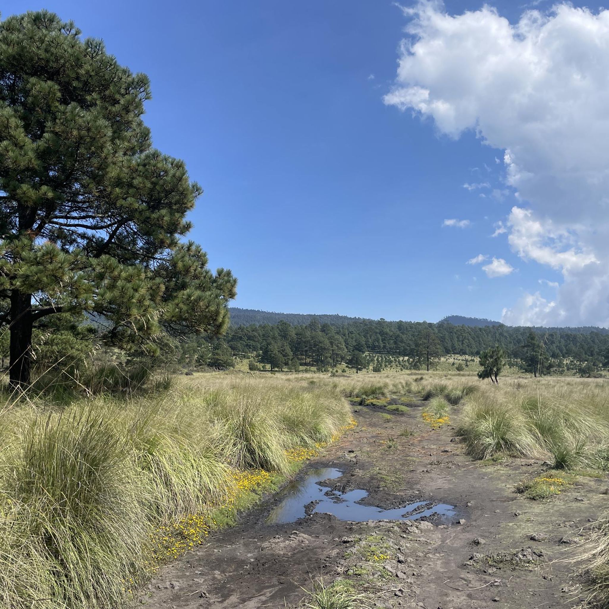
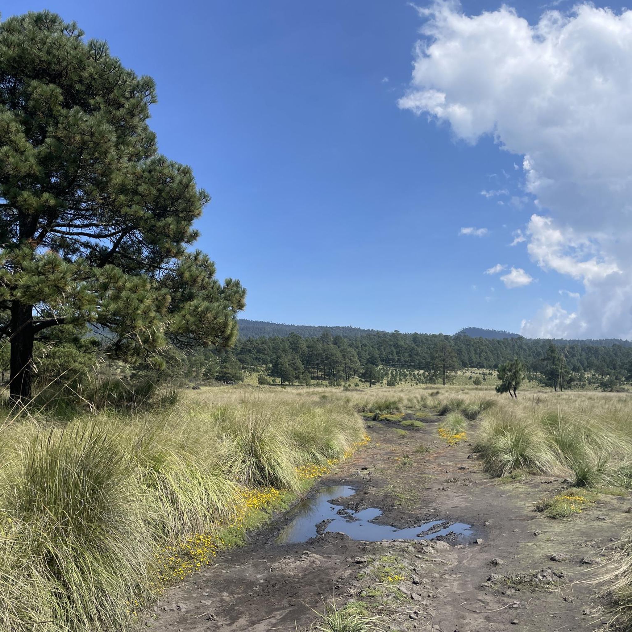
La Loma, a classic cycling spot where the climb from San Gregorio ends (if you're coming from Xochimilco), is also the crowning glory when coming from Tlayacapan (30 km, almost all uphill, 1,200 m total climb) or Juchitepec (8 km, 350 m total climb). You can enjoy the panoramic view with quesadillas, coffee, beer, pulque, etc. Weather permitting, you'll be able to see the volcanoes in the distance. Whether you're heading elsewhere, a stop here is definitely a must. Enjoy the view and have a safe trip to your destination!
2
0
This colorful mural decorating the staircase of Junco Alley is located in the Cuautzozongo neighborhood of Juchitepec. The alley begins with a stone archway announcing the Calzada de San Felipe, which is curious because none of the nearby streets have that name, and the alley itself isn't named that either. You'll have to ask the locals why they named it that way. At the entrance is a small white chapel of San Isidro Labrador, and the street leading to this site has a striking stone wall, reminiscent of a medieval castle, demarcating a field of crops. At the entrance to the alley is a small shop, and at the end, there are sometimes tacos.
2
0
Amecameca de Juaréz is the municipal capital. It's a well-known town and a popular destination for visitors to the volcanoes, as it's located right at the foot of the volcanoes and is a national tourism area. There's almost everything here, plenty of food (the market, stalls, and shops), and there are bike repair shops if you need them. The plaza is large, with a traditional kiosk and church.
2
0
Frequently Asked Questions
How many road cycling routes are available in Juchitepec?
There are 5 road cycling routes available in Juchitepec, offering a variety of experiences across the region's landscape.
What is the typical difficulty level of road cycling routes in Juchitepec?
The road cycling routes in Juchitepec primarily range from moderate to difficult. You'll find 4 moderate routes and 1 difficult route, often featuring significant elevation changes and varied terrain.
Are there challenging road cycling routes for experienced riders in Juchitepec?
Yes, experienced riders can find challenging routes. For example, the Paso de Cortés – Paso de Cortés Monument loop from Amecameca is rated as difficult, covering 31.4 miles (50.5 km) with over 1300 meters of elevation gain.
Can I find routes with panoramic views in Juchitepec?
Absolutely. Many routes offer stunning vistas. The San Lorenzo Viewpoint – La Loma Viewpoint loop from Milpa Alta is a great option, providing panoramic views from two distinct viewpoints. You can also visit La Loma Viewpoint or enjoy the View of Popocatépetl and Iztaccíhuatl Volcanoes.
Are there loop road bike trails in Juchitepec?
Yes, all the road cycling routes in Juchitepec are designed as loops, allowing you to start and finish at the same point. Examples include the Monumento de Ayapango – Reverse Plan loop from Juchitepec and the Monumento de Ayapango – Amecameca town center loop from Santa María.
What kind of terrain can I expect on road cycling routes in Juchitepec?
The region's landscape is characterized by rolling hills and open areas. Routes often include ascents to viewpoints, descents, and traverses through local towns and natural features, offering a mix of cultural and scenic elements.
What can I see along the road cycling routes in Juchitepec?
Beyond the natural beauty, you can encounter several points of interest. Highlights include the La Loma Viewpoint, the historic Parish of Santo Domingo de Guzmán, and the unique Junco Alley Mural Staircase.
What do other road cyclists say about the routes in Juchitepec?
The road cycling routes in Juchitepec are highly rated by the komoot community, with an average score of 4.9 stars from over 28 reviews. Cyclists often praise the varied terrain and the scenic views encountered along the way.
What is the best season for road cycling in Juchitepec?
Juchitepec generally experiences a temperate climate. The dry season, typically from November to May, offers more stable weather conditions with less rain, making it ideal for road cycling. However, always check local weather forecasts before heading out.
Are there any less crowded road cycling routes in Juchitepec?
While all routes offer a great experience, for potentially less crowded options, consider exploring routes that venture slightly further from major towns. The Tlalnepantla Arch – View of the Tlayacapan Hills loop from Totolapan offers a scenic ride through the local landscape.
How long do road cycling routes in Juchitepec typically take to complete?
The duration of road cycling routes in Juchitepec varies depending on the distance and elevation. Moderate routes like the San Lorenzo Viewpoint – La Loma Viewpoint loop from Milpa Alta can take around 1 hour 36 minutes, while more challenging routes such as the Paso de Cortés – Paso de Cortés Monument loop from Amecameca may require over 3 hours.
Most popular routes in Juchitepec
Most popular attractions in Juchitepec

Get inspired with the komoot mobile app


Explore more
Browse the best Road cycling routes in other regions.
