The best road cycling routes in Xochimilco
4.8
(135)
1,690
riders
17
rides
Road cycling in Xochimilco features routes with significant elevation changes, leading to various viewpoints and through diverse landscapes. The region's terrain includes both urban sections and areas with notable hills, offering varied cycling experiences. Road cyclists can expect routes that ascend to panoramic outlooks like San Lorenzo Viewpoint and La Loma Viewpoint. The routes often involve sustained climbs and descents, characteristic of the area's topography.
Best road cycling routes in Xochimilco
- The most popular road cycling route is San Lorenzo Viewpoint – La Loma Viewpoint loop from Xochimilco, a 34.0 miles (54.7 km) trail that takes 2 hours 37 minutes to complete. This moderate route connects prominent viewpoints, offering expansive vistas.
- Another top favourite among local road cyclists is San Lorenzo Viewpoint – La Loma Viewpoint loop from Tláhuac, a moderate 32.6 miles (52.5 km) path. This route features significant elevation changes and scenic outlooks.
- Local road cyclists also love the Petroleum Fountain – Calzada Flotante Chapultepec loop from Tepepan, a 38.0 miles (61.1 km) trail leading through varied urban and natural landscapes, often completed in about 2 hours 36 minutes.
- Road cycling in Xochimilco is defined by prominent viewpoints, challenging hills, and a mix of urban and natural environments. The network offers options for different ability levels, from moderate loops to more difficult ascents.
- The routes in Xochimilco are highly rated by the komoot community with an average score of 4.9 stars from over 40 reviews. More than 800 road cyclists have used komoot to explore Xochimilco's varied terrain.
Last updated: July 29, 2026
4.3
(4)
68
riders
54.7km
02:37
730m
730m
Moderate road ride. Good fitness required. Mostly well-paved surfaces and easy to ride.
4.9
(7)
57
riders
52.5km
02:31
740m
740m
Moderate road ride. Good fitness required. Mostly well-paved surfaces and easy to ride.

Sign up for free
35
riders
60.3km
02:38
330m
330m
Moderate road ride. Good fitness required. Mostly well-paved surfaces and easy to ride.
4.8
(4)
20
riders
88.0km
04:04
880m
880m
Moderate road ride. Good fitness required. Mostly well-paved surfaces and easy to ride.
20
riders
114km
05:47
1,340m
1,340m
Hard road ride. Very good fitness required. Mostly well-paved surfaces and easy to ride.
3
riders
121km
06:32
2,250m
2,250m
Hard road ride. Very good fitness required. Mostly well-paved surfaces and easy to ride.
4.6
(5)
13
riders
32.9km
01:37
400m
400m
Moderate road ride. Good fitness required. Mostly well-paved surfaces and easy to ride.
15
riders
80.8km
04:01
1,000m
1,000m
Hard road ride. Very good fitness required. Mostly well-paved surfaces and easy to ride.
10
riders
38.2km
01:48
460m
460m
Moderate road ride. Good fitness required. Mostly well-paved surfaces and easy to ride.
13
riders
30.2km
01:10
40m
40m
Easy road ride. Great for any fitness level. Mostly well-paved surfaces and easy to ride.
Get access to more routes and recommendations from other explorers.
Sign up for free
Already have an account?
Our route recommendations are based on thousands of hikes, rides, and runs completed by other people on komoot.
Start today with a free account
Your next adventure awaits.
Login or Signup
Popular around Xochimilco
Tips from the Community

This is a spectacular bronze statue representing the Roman goddess of the hunt. It was unveiled in 1942.
0
0
This is one of the city's most iconic landmarks. The column and statue together reach almost 50 meters in height. It symbolizes the freedom of the Mexican people from Spanish rule.
0
0

La Loma, a classic cycling spot where the climb from San Gregorio ends (if you're coming from Xochimilco), is also the crowning glory when coming from Tlayacapan (30 km, almost all uphill, 1,200 m total climb) or Juchitepec (8 km, 350 m total climb). You can enjoy the panoramic view with quesadillas, coffee, beer, pulque, etc. Weather permitting, you'll be able to see the volcanoes in the distance. Whether you're heading elsewhere, a stop here is definitely a must. Enjoy the view and have a safe trip to your destination!
2
0

Excellent vibe, very good rides and the food is quite delicious. Don't forget to try the sweet and savory toust.
0
0

a very panoramic view ideal for taking a short break, there are stalls where you can eat with the group.
0
0
This colorful arch welcomes you to Xochimilco (or bids you farewell). It's currently in poor condition but still noticeable. At this point on the climb toward La Loma, you can stop for refreshments if necessary, or simply continue on to your destination or training goal. Fun fact: There's almost always a man at his stall at this point with his dogs and loud music.
2
0
A descent to enjoy the beautiful panoramic view of the volcanoes or an 8km climb to La Loma, which means the route is almost at the end of its climbs. If you're going downhill, the asphalt has some potholes and sections in poor condition, but overall the pavement is good, and the curves are both respectable and enjoyable at good speeds. On the slope, you can enjoy your maximum speed. If you're going uphill, don't forget to carry fluids because the heat can be intense at times, and the maximum incline of 12% will be a nightmare without hydration or carbohydrates. There's plenty of supplies in Juchitepec.
3
0
A good route for training and exploring. The climb toward Juchitepec is very good, or if you prefer the easy exit, the downhill route toward Temamantla or Cocotitlán, and from there, a flat route to Chalco. There are more climbs if you return toward Amecameca. It all depends on where you started your ride. Those of us coming from Xochimilco face more climbs. The pavement is in poor condition, but without so many potholes, the vibration from your handlebars won't stop for several kilometers. The view of the volcanoes is wonderful. The effort against the wind will be another challenge that adds to the effort. There are many places to refuel. It's a well-traveled route, and you'll find many cyclists along the way. The central plaza is pretty and well-maintained, with its flowerbeds, the clock tower, statues, and its kiosk.
3
0
Frequently Asked Questions
How many road cycling routes are available in Xochimilco?
Xochimilco offers a diverse network of over 18 road cycling routes. These routes cater to various skill levels, including 2 easy, 10 moderate, and 6 difficult options, ensuring there's a ride for every cyclist.
Are there beginner-friendly road cycling routes in Xochimilco?
Yes, Xochimilco has 2 easy road cycling routes suitable for beginners. While the region is known for significant elevation changes, these routes offer a gentler introduction to the area's terrain. For a moderate option that is popular, consider the San Lorenzo Viewpoint – La Loma Viewpoint loop from Xochimilco.
What are some challenging road cycling routes in Xochimilco?
For experienced cyclists seeking a challenge, Xochimilco features 6 difficult routes with substantial elevation gains. A notable difficult route is the San Lorenzo Viewpoint – La Loma Viewpoint loop from Tepepan, which spans over 85 miles (137 km) with more than 7,100 feet (2,170 m) of ascent.
What is the best time of year for road cycling in Xochimilco?
The best time for road cycling in Xochimilco generally aligns with the dry season, typically from November to April. During these months, you can expect more stable weather conditions and clearer skies, which are ideal for enjoying the scenic viewpoints and varied terrain.
What kind of terrain and conditions can I expect on Xochimilco's road cycling routes?
Xochimilco's road cycling routes feature a mix of urban sections and areas with notable hills, offering varied cycling experiences. You can expect sustained climbs and descents, characteristic of the area's topography, leading to panoramic outlooks like San Lorenzo Viewpoint and La Loma Viewpoint. Road conditions vary, so it's always advisable to check recent reviews on komoot for specific route details.
Are there any loop routes for road cycling in Xochimilco?
Many of Xochimilco's road cycling routes are designed as loops, allowing you to start and finish at the same point. Examples include the popular San Lorenzo Viewpoint – La Loma Viewpoint loop from Tláhuac and the Petroleum Fountain – Calzada Flotante Chapultepec loop from Tepepan.
What are some scenic viewpoints or hidden gems along Xochimilco's road cycling routes?
Road cycling in Xochimilco is defined by prominent viewpoints. Routes often ascend to panoramic outlooks such as San Lorenzo Viewpoint and La Loma Viewpoint. For a unique perspective, consider routes that pass near the View of the Volcanoes from Ciénega Grande, Xochimilco, offering expansive vistas of the surrounding landscape.
What can I see or explore near the road cycling routes in Xochimilco?
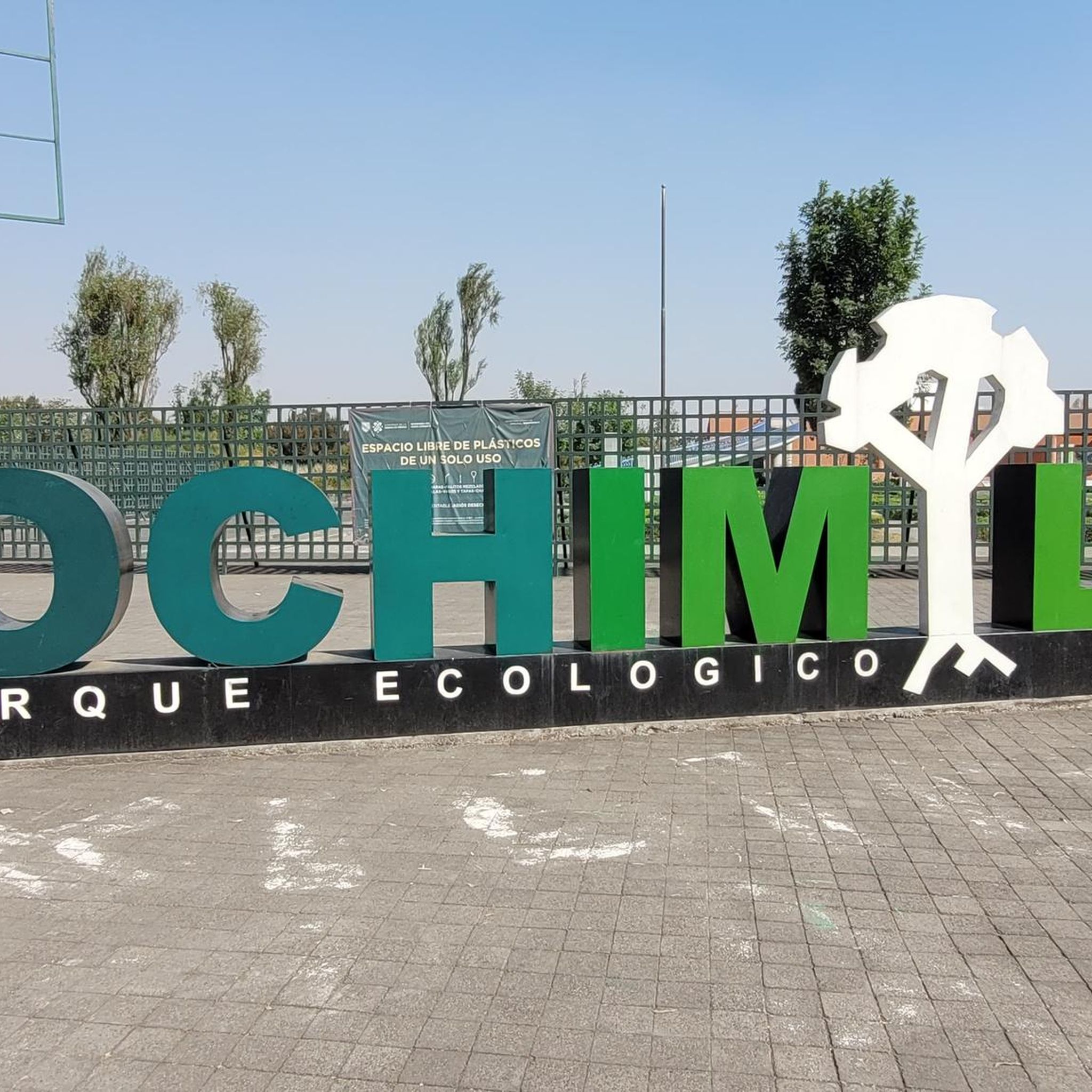
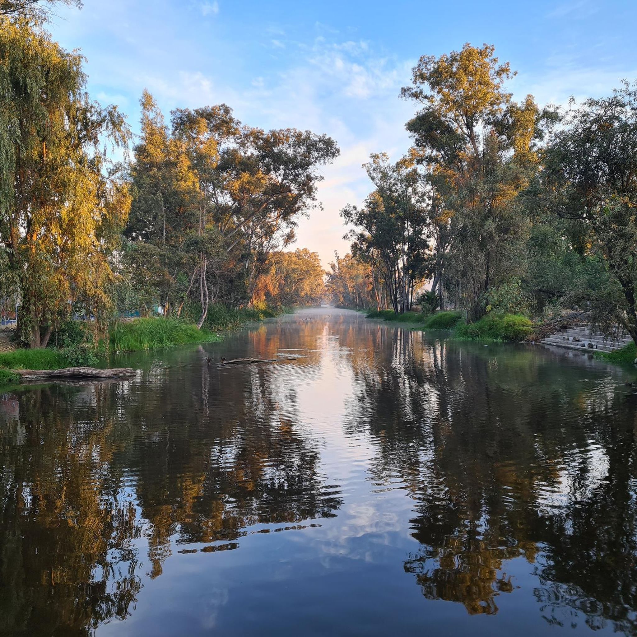
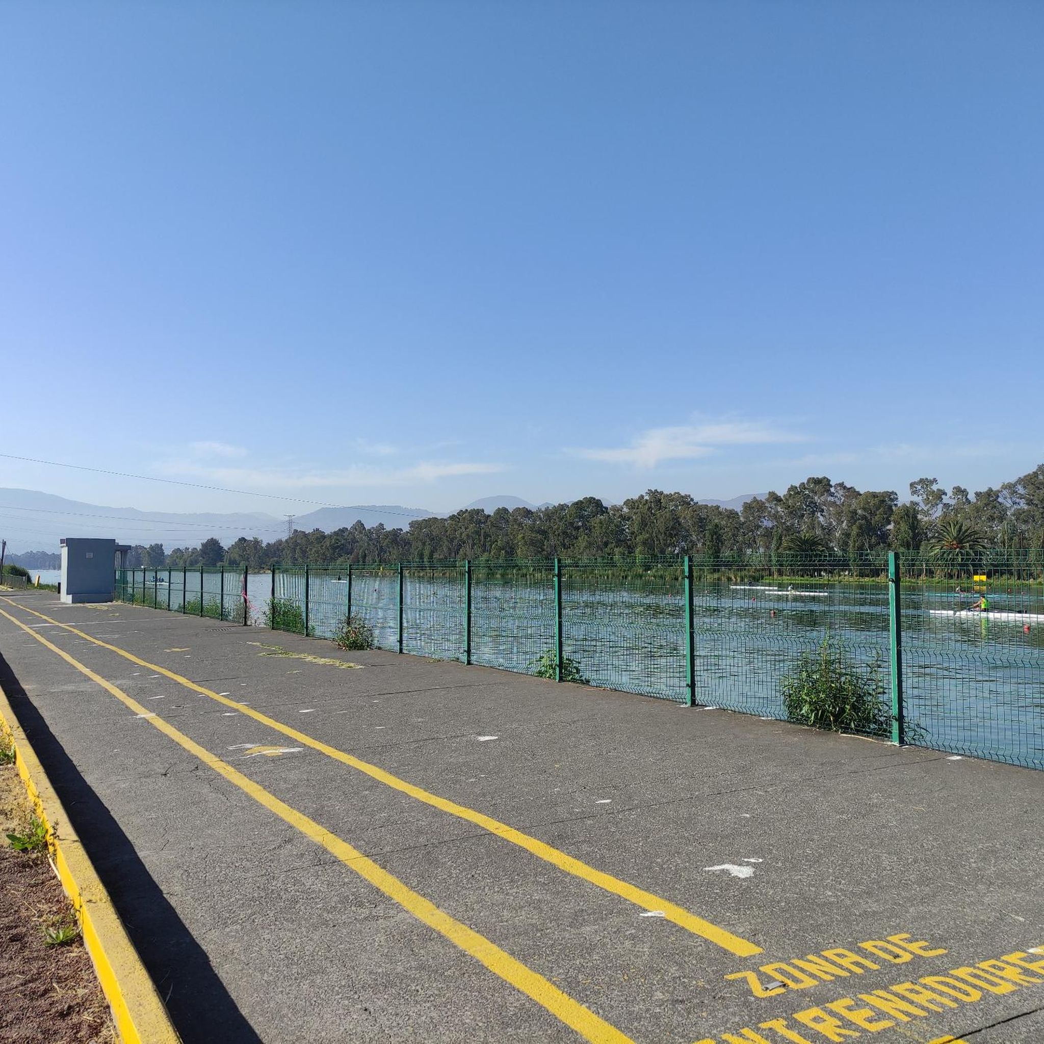
Beyond the cycling, Xochimilco offers several attractions. You can explore the Xochimilco Ecological Park, visit the historic Xochimilco area itself, or see the Virgilio Uribe Olympic Rowing and Canoeing Course. Many routes offer glimpses of these cultural and natural landmarks.
What do other road cyclists enjoy the most about road cycling in Xochimilco?
The komoot community highly rates road cycling in Xochimilco, with an average score of 4.9 stars from over 40 reviews. Cyclists often praise the challenging hills, the rewarding panoramic viewpoints, and the unique blend of urban and natural environments that the routes offer.
Are there any routes that offer a view of Pico del Águila?
Yes, for those interested in specific landmarks, the View of Pico del Águila – San Lorenzo Viewpoint loop from Tepepan is a difficult route that includes views of Pico del Águila, alongside the San Lorenzo Viewpoint.
How long do road cycling routes in Xochimilco typically take to complete?
The duration of road cycling routes in Xochimilco varies significantly based on distance and difficulty. For instance, a moderate route like the Xochimilco Welcome Arch – San Lorenzo Viewpoint loop from Xochimilco can take around 1 hour 36 minutes, while longer, more difficult routes can extend to over 6 hours.
Most popular attractions in Xochimilco

Get inspired with the komoot mobile app


Explore more
Browse the best Road cycling routes in other regions.
