Attractions and Places To See in Milpa Alta - Top 9
Best attractions and places to see in Milpa Alta include a blend of natural landscapes, cultural heritage, and historical sites within Mexico City's most rural borough. Characterized by rugged volcanic terrain and extensive forests, Milpa Alta serves as a significant conservation zone. The region is known for its traditional communities and agricultural produce, particularly nopal and mole. Visitors can explore a variety of outdoor and cultural experiences.
Best attractions and places to see in Milpa Alta
- The most popular attractions…
Last updated: July 31, 2026
San Lorenzo Viewpoint
Highlight • Viewpoint
Translated by Google •
Tip by

Santa Ana Tlacotenco Gate
Highlight • Rest Area
Translated by Google •
Tip by

Sign up now to discover places like this
Get recommendations on the best single tracks, peaks, & plenty of other exciting outdoor places.
Sign up for free
Camino a Tlaltenamic
Highlight • Trail
Translated by Google •
Tip by
Ascent from Cuahutenco to La Olla
Highlight (Segment) • Climb
Translated by Google •
Tip by
Ojo de Agua Tulmiac
Highlight • Natural Monument
Translated by Google •
Tip by
Abandoned Car 066 on Xochimilco–Tlayacapan Road
Highlight • Structure
Caution when entering and leaving the vehicles that pass on the road, and in the place there …
Translated by Google •
Tip by
Junction of Trails to San Bartolo and Barrilito
Highlight • Trail
A close view of San Bartolito …
Translated by Google •
Tip by
Parish of Saint Peter the Apostle of Actopan
Highlight • Religious Site
Translated by Google •
Tip by
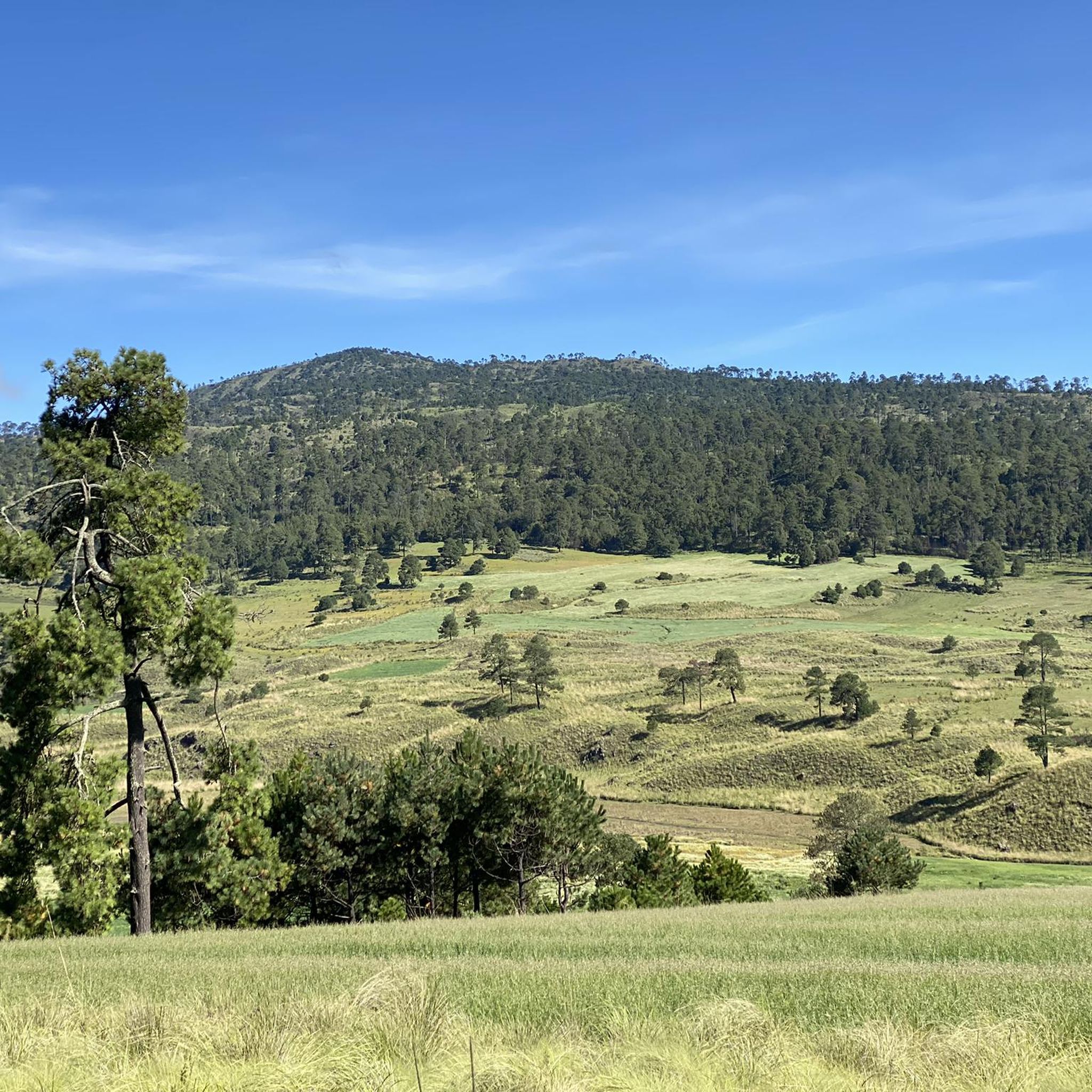
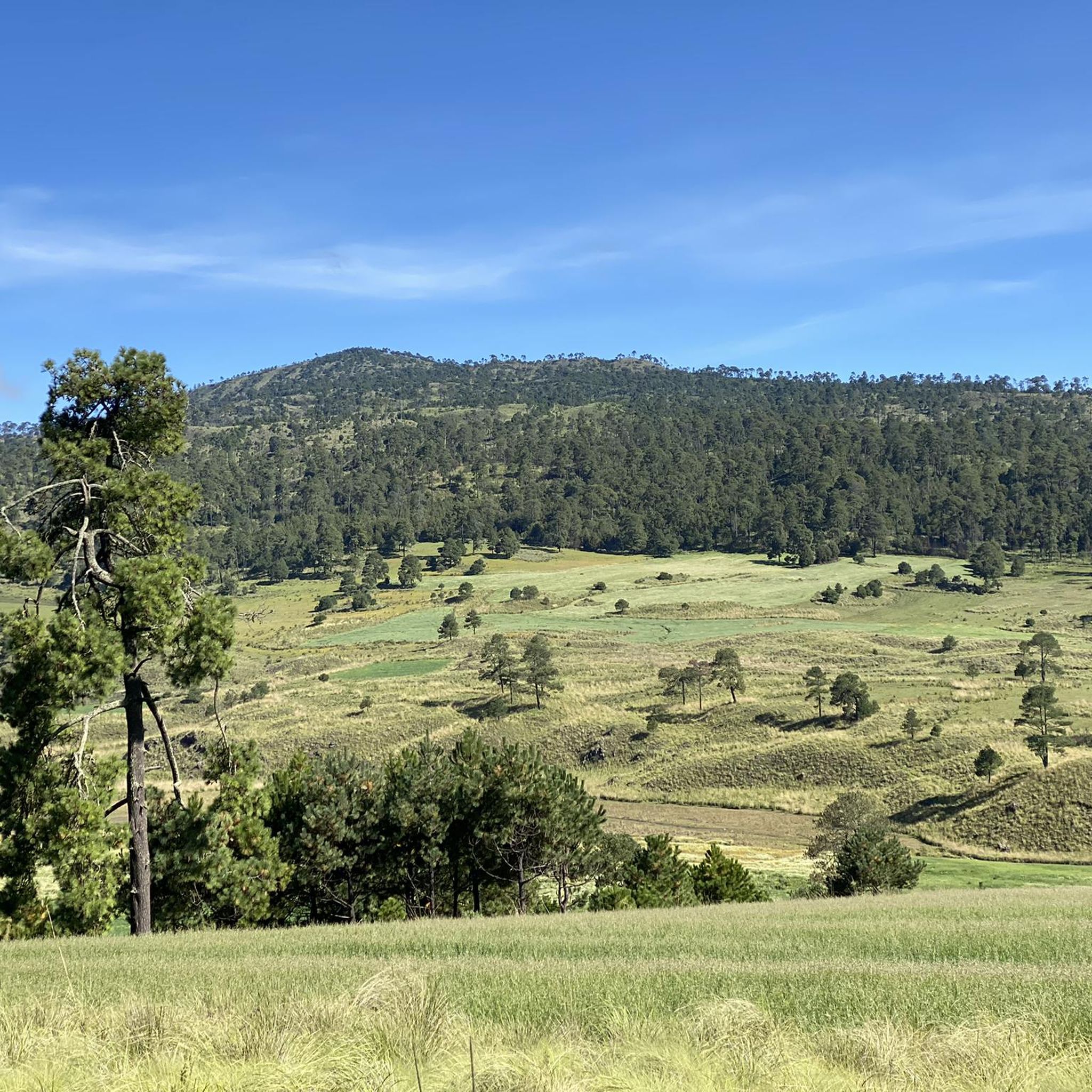
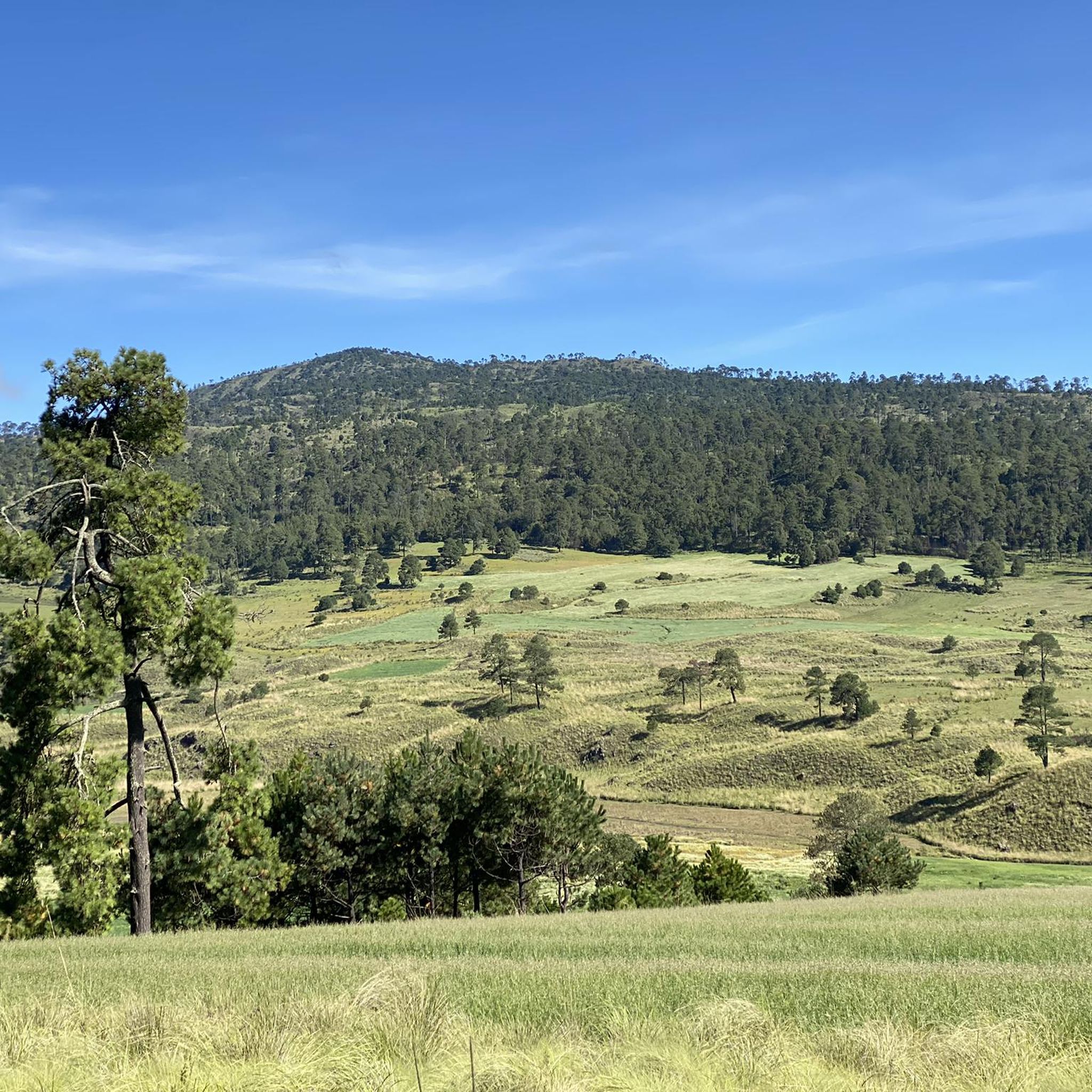
View of Volcán Tuxtepec, Volcán San Bartolo, and Surrounding Hills
Highlight • Viewpoint
Translated by Google •
Tip by
Start today with a free account
Your next adventure awaits.
Login or Signup
Popular around Milpa Alta
Tips from the Community

If you're looking for a place to rest and eat before continuing up to your destination, it's quiet here and there are even shaded benches.
1
0
In this area, paths cross to any volcano in the area. Sometimes, the area's caretaker is there, and you can request asylum if necessary. The area is well preserved and offers a respite from the route where you can return to your destination.
2
0
Right there the road that comes from Tulmiac, the one from Oztotepec (Vicente Guerrero Sur Prolongation) and the road to the Tláloc Volcano intersect. A close view of San Bartolito and a panoramic view of these roads and hills, as well as a tree that refreshes for a moment with its shadow and the wind that crosses there. It's time to decide the path to choose...
1
0
On the road to Ojo de Agua and Tulmiac Volcano you will find this beautiful view of the surroundings and it helps to orient yourself since on the horizon is the Tuxtepec Volcano in the foreground and the San Bartolo volcano in the background and there is the road that goes to the Volcano Tlaloc. Remember to bring enough supplies! There is nothing to buy around there, maybe something in the water hole. Enjoy the passage 🤩
3
0
On the Xochimilco to Tlayacapan Highway is this abandoned, burned and painted vehicle. Caution when entering and leaving the vehicles that pass on the road, and in the place there are broken glass. A place for an urban but country photo. It is seen from the road.
1
0
The point where the pavement ends and the cobblestone begins and then the dirt road. A good climb to challenge your legs with the effort to reach this area far from the hustle and bustle of the city and enjoy the country view of CDMX. BY road bike up to here is enough or you can venture a little more, with a gravel or MTB bike this place is the beginning of the fun and more climbs to keep pushing the pedals, whether you take a left towards Chuchupic or On the right, follow the path to Tlaltenamic and the Camino del Comunero that will take you to several hills (San Bartolo and Chinguereteria) and several volcanoes (Tuxtepec, Comalera, Pipiritillo, Tulmiac and Tetzacóatl). Isolated houses and farmland will be in your sight. You can close the circuit on dirt road to La Olla.
1
0
The good sufferer! With a road in regular condition and with views of the cloud forest (depending on the time of year) where you will sweat with effort to get to the top where the Gravel begins, a road that reaches
1
0
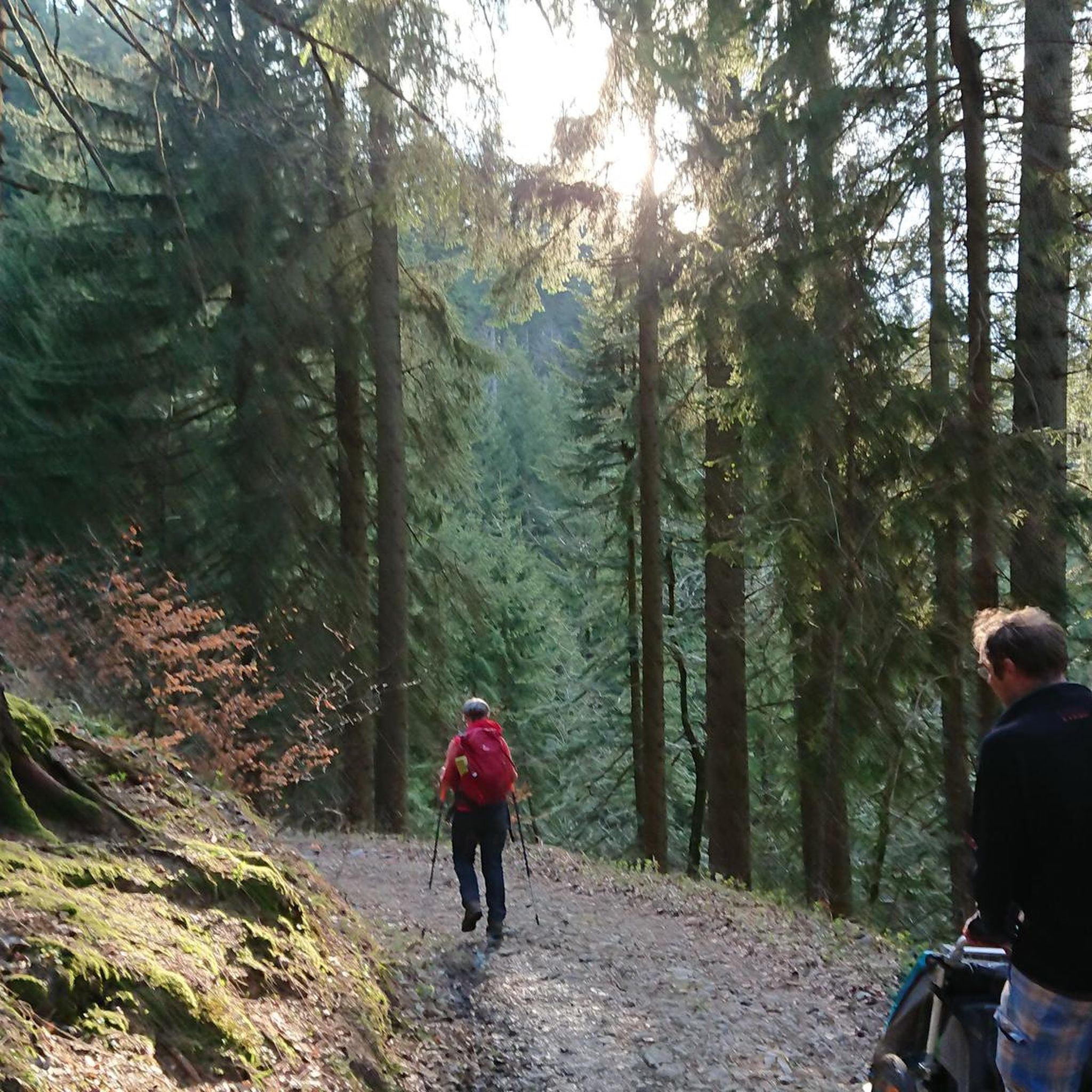
A good climb of almost 4 km to train in a beautiful place! From Nativitas the climb begins! But passing the Cuahutenco neighborhood, the hard part begins, with small "breaks" of 5 to 7% incline, it will be time to put strength on very steep slopes to test everything you like about a cycling challenge. Do not forget to bring at least water or something for the bird because from Nativitas to La Olla there are more than 11 km of ascent. Enjoy the wooded path of this favorite stretch!
1
0
Frequently Asked Questions
What natural features can I explore in Milpa Alta?
Milpa Alta is characterized by rugged volcanic terrain and extensive forests. You can visit Ojo de Agua Tulmiac, a natural spring and monument that serves as a starting point for hiking surrounding volcanoes. The region also offers numerous points with panoramic views of green landscapes, especially from areas like San Bartolomé Xicomulco, overlooking the Mexico Basin and the guardian volcano Utle.
Are there any historical sites or cultural landmarks to visit in Milpa Alta?
Yes, Milpa Alta is rich in history. You can explore the 16th-century Ex-Convento de la Asunción de Nuestra Señora de Milpa Alta, a historic church and former monastery in Villa Milpa Alta. Another significant site is the Capilla de la Lupita in San Pablo Oztotepec, known as a gathering place for Emiliano Zapata and his troops during the Mexican Revolution. The Museo Cuartel Zapatista, also in San Pablo Oztotepec, showcases artifacts from the revolutionary era.
What outdoor activities can I do near these attractions?
Milpa Alta offers a variety of outdoor activities, particularly hiking and cycling. You can find numerous trails that cross volcanic terrain and forests. For specific routes, explore the Hiking in Milpa Alta guide, the Cycling in Milpa Alta guide, or the MTB Trails in Milpa Alta guide for detailed routes and difficulty levels.
Where can I find the best viewpoints in Milpa Alta?
For stunning panoramic views, visit San Lorenzo Viewpoint, which offers expansive vistas of the mountains and southern villages. Another great spot is the View of Volcán Tuxtepec, Volcán San Bartolo, and Surrounding Hills, providing a scenic outlook over the volcanic landscape.
Are there any challenging trails for experienced hikers or cyclists?
Yes, Milpa Alta has challenging routes. The Ascent from Cuahutenco to La Olla is a demanding climb through a wooded trail, popular with cyclists seeking a challenge. For hikers, routes like the Tepozteco Pyramid – Cruz de Axitla loop from San Juan Tlacotenco are considered difficult. Always check the specific route details for elevation and terrain.
What is Milpa Alta known for culturally and gastronomically?
Milpa Alta is renowned for its rich cultural heritage and culinary traditions. It's particularly famous for its agricultural produce like nopal and mole. Visitors can explore the 'Route of Flavor' to learn about ancestral recipes and the importance of corn and nopal. The area also hosts over 700 religious and secular festivals annually, including famous mole and nopal-based food festivals. The borough is also known for its traditional Day of the Dead observances.
Are there family-friendly attractions in Milpa Alta?
Many of Milpa Alta's natural and cultural sites can be enjoyed by families. Viewpoints like San Lorenzo Viewpoint offer accessible scenic spots. Historic religious buildings such as the Parish of Saint Peter the Apostle of Actopan are also suitable for family visits. Exploring the local markets and cultural centers can also be an engaging experience for all ages.
What kind of local markets can I visit in Milpa Alta?
You can visit the Mercado Benito Juárez near the Milpa Alta esplanade. This market features over 200 stalls offering local produce such as mole, chili, onions, chocolate, and especially nopales. It's a great place to experience the local culture and taste regional specialties.
What is the best time to visit Milpa Alta for outdoor activities?
Milpa Alta's climate is generally mild, but for outdoor activities like hiking and cycling, it's best to consider the dry season to avoid heavy rains, which typically occur during the summer months. Spring and autumn often offer pleasant temperatures and clearer skies, ideal for exploring the natural landscapes and trails.
What unique geological features can be found in Milpa Alta?
Milpa Alta is characterized by its rugged volcanic terrain, which shapes much of its landscape. This includes several volcanoes and hills, such as Volcán Tuxtepec and Volcán San Bartolo, which can be viewed from various points like the View of Volcán Tuxtepec, Volcán San Bartolo, and Surrounding Hills. The volcanic activity has also contributed to the rich soil, supporting the region's agricultural traditions.
What do visitors enjoy most about Milpa Alta?
Visitors frequently appreciate Milpa Alta's blend of natural beauty and cultural authenticity. The scenic viewpoints, challenging trails, and the opportunity to connect with nature are highly valued. The region's rich history, traditional communities, and unique gastronomy, especially its mole and nopal-based dishes, also leave a lasting impression on those seeking an authentic Mexican experience away from the city bustle.

Get inspired with the komoot mobile app


Explore more
Still not found the Highlight you’re looking for? See guides of the top attractions in other regions:
