The best road cycling routes in Álvaro Obregón
4.6
(263)
5,039
riders
104
rides
Road cycling routes in Álvaro Obregón traverse a diverse landscape characterized by significant elevation changes, offering challenging climbs and rewarding descents. The region features a mix of urban and natural environments, including routes that lead to viewpoints and through areas with historical ruins. Cyclists can expect to encounter varied terrain, from well-maintained roads in developed areas to paths that wind through more natural settings, often providing panoramic vistas. The topography includes hills and higher elevations, making it suitable for road…
Last updated: November 3, 2026
4.7
(12)
243
riders
Hard road ride. Very good fitness required. Mostly well-paved surfaces and easy to ride.
61
riders
Hard road ride. Very good fitness required. Mostly well-paved surfaces and easy to ride.

62
riders
59.8km
03:33
1,250m
1,250m
Hard road ride. Very good fitness required. Mostly well-paved surfaces and easy to ride.
5.0
(2)
42
riders
Easy road ride. Mostly well-paved surfaces and easy to ride.
5.0
(14)
43
riders
22.1km
01:08
360m
370m
Moderate road ride. Good fitness required. Mostly well-paved surfaces and easy to ride.
4.4
(18)
21
riders
Moderate road ride. Good fitness required. Mostly well-paved surfaces and easy to ride.
5.0
(3)
20
riders
Moderate road ride. Good fitness required. Some segments of this route may be unpaved and difficult to ride.
17
riders
Moderate road ride. Good fitness required. Mostly well-paved surfaces and easy to ride.
5.0
(1)
18
riders
72.1km
04:21
1,690m
1,690m
Hard road ride. Very good fitness required. Mostly well-paved surfaces and easy to ride.
13
riders
Easy road ride. Mostly well-paved surfaces and easy to ride.
Get access to more routes and recommendations from other explorers.
Already have an account?
Our route recommendations are based on thousands of hikes, rides, and runs completed by other people on komoot.
Start today with a free account
Your next adventure awaits.


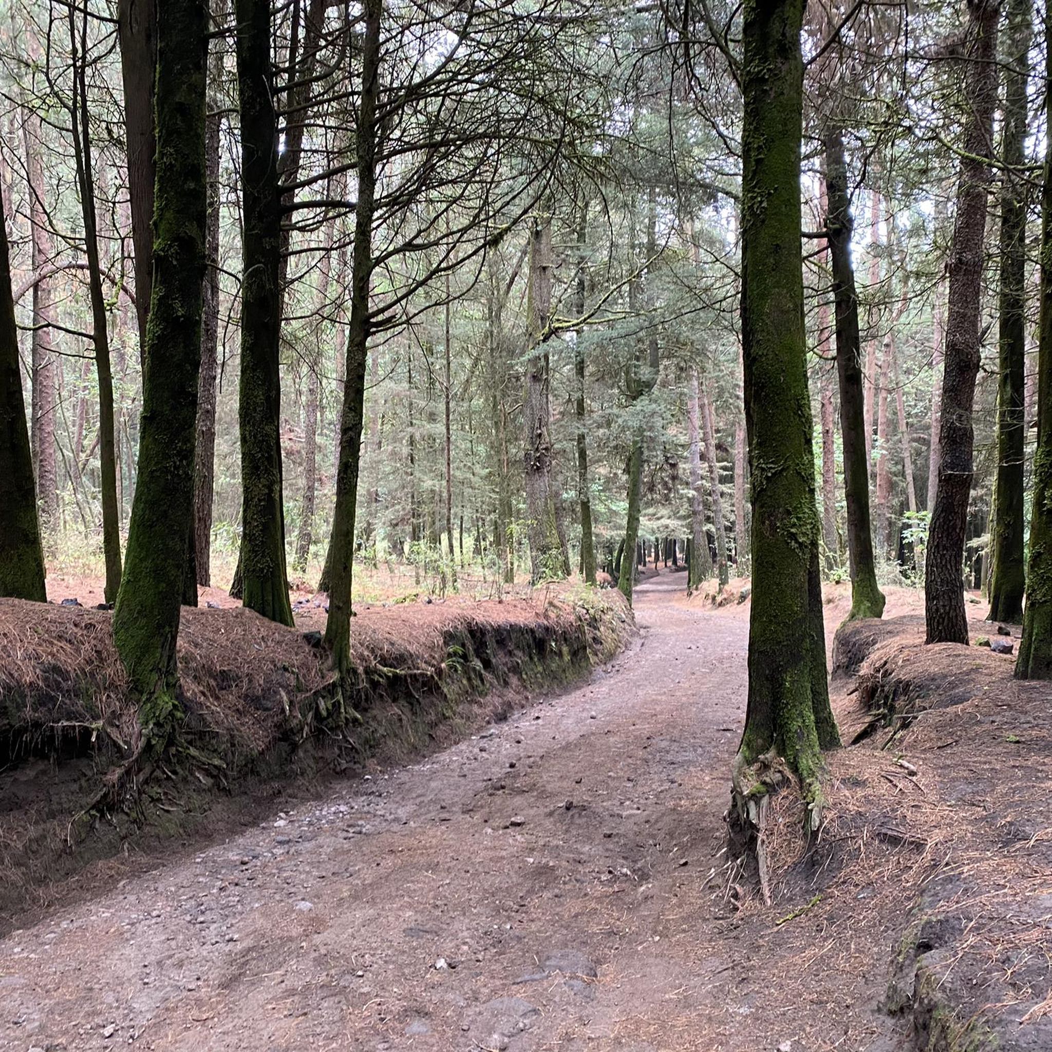
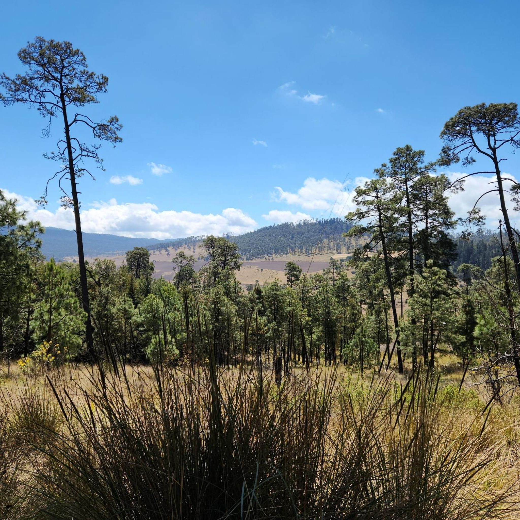
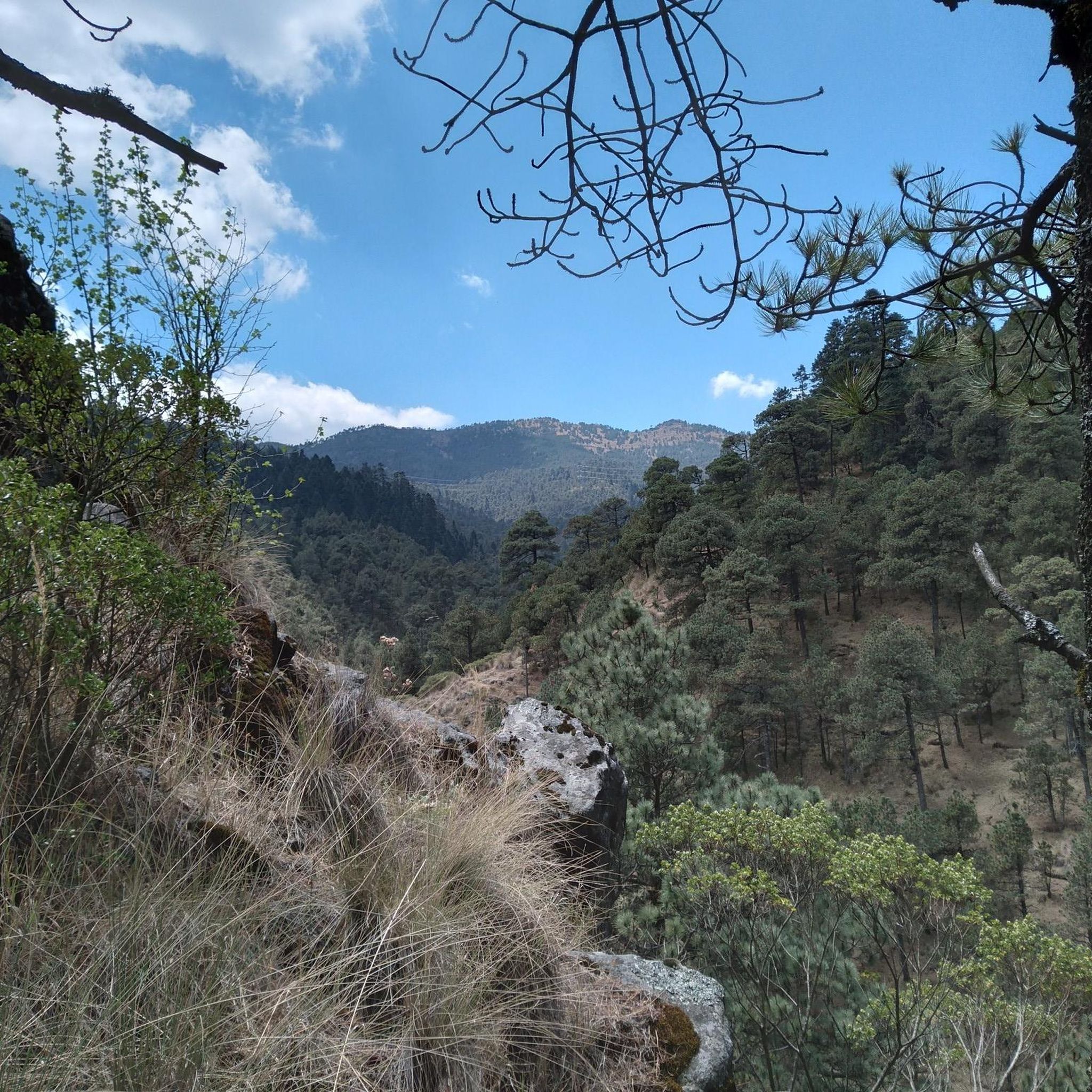

Tips from the Community

A great place to go for a run or just take a walk. (Bicycles are not allowed.)
0
0

This is one of the city's most iconic landmarks. The column and statue together reach almost 50 meters in height. It symbolizes the freedom of the Mexican people from Spanish rule.
0
0

Beside the road stands a small image of Our Lady of Guadalupe, watched over with devotion by passersby. Many people stop for a few minutes to leave flowers, candles, or other offerings, giving thanks for favors received or asking for protection on their journey. It's a simple spot, but full of faith and meaning.
0
0
This interesting convent, built in the 17th century by Carmelite monks, later converted into a military barracks and which holds many "paranormal" stories, is now open to visitors and serves as a base for numerous walks in the area.
0
0

This church is one of the oldest religious buildings in the city. Construction began shortly after the Spanish conquest, around 1522, and was completed around 1552. It is an impressive example of colonial and Baroque architecture and is located directly on Plaza Hidalgo, Coyoacán's central square.
1
0

The route is shared with cyclists in some sections.
0
0

It's a pleasant route and suitable for all cyclists...
0
0

the ideal place to walk, jog or run.
0
0
Frequently Asked Questions
How many road cycling routes are available in Álvaro Obregón?
Álvaro Obregón offers a wide selection of road cycling routes, with nearly 120 options to explore. These routes cater to various skill levels, from easy to difficult.
What kind of terrain can I expect on road cycling routes in Álvaro Obregón?
Road cycling in Álvaro Obregón is characterized by significant elevation changes, featuring challenging climbs and rewarding descents. You'll encounter a mix of urban and natural environments, including routes that lead to scenic viewpoints and through areas with historical ruins. The topography includes hills and higher elevations, providing both endurance and scenic experiences.
Are there road cycling routes suitable for beginners in Álvaro Obregón?
Yes, Álvaro Obregón has 42 easy road cycling routes perfect for beginners. An example of an accessible route is the José María Rico Street – Estadio Azulgrana loop from Barranca del Muerto, which is 8.7 miles (14 km) long with minimal elevation gain.
Are there challenging road cycling routes for experienced cyclists in Álvaro Obregón?
Absolutely. For experienced cyclists seeking a challenge, there are 34 difficult routes. The Ventanas to Santa Fe – Ahuehuetes Sur loop from Estación Vasco de Quiroga is a demanding 44.8 miles (72.2 km) path with substantial elevation gain through varied terrain.
Are there any circular road cycling routes in Álvaro Obregón?
Many of the road cycling routes in Álvaro Obregón are loops, allowing you to start and end at the same point. For instance, the Desierto de los Leones Viewpoint – Mobile food stand loop from Estación Santa Fe is a popular 22.7 miles (36.5 km) circular route offering consistent climbing towards a notable viewpoint.
What interesting sights or landmarks can I see along road cycling routes in Álvaro Obregón?
Several routes pass by significant landmarks. You can explore areas with historical ruins like the Cuarto Dínamo Ruins, or enjoy panoramic views from the 4th Dinamo Viewpoint. The Cuarto Dínamo Ruins – 4th Dinamo Viewpoint loop from San Pedro de los Pinos is a great option to combine both.
Are there viewpoints along the road cycling routes in Álvaro Obregón?
Yes, Álvaro Obregón's hilly terrain offers numerous routes with rewarding viewpoints. The 4th Dinamo Viewpoint and Peñas de Shiro Viewpoint by the Hermitage are notable spots where you can pause and enjoy the scenery.
What are the typical lengths of road cycling routes in Álvaro Obregón?
Route lengths vary significantly, catering to different preferences. You can find shorter rides like the 8.7 miles (14 km) José María Rico Street – Estadio Azulgrana loop from Barranca del Muerto, or longer, more challenging routes such as the 60.4 miles (97.1 km) Tehualtepec Volcano Route – Desierto de los Leones Viewpoint loop from Estación Santa Fe.
What do other road cyclists enjoy the most about road cycling in Álvaro Obregón?
The komoot community highly rates road cycling in Álvaro Obregón, with an average score of 4.6 stars from over 300 reviews. Cyclists often praise the challenging climbs, scenic viewpoints, and the unique experience of passing by historical ruins. Over 5000 road cyclists have used komoot to explore the varied terrain here.
Are there any hidden gem road cycling routes in Álvaro Obregón?
While many routes are well-known, exploring options like the Petroleum Fountain – Ahuehuetes Sur loop from Secretaria de Hacienda can offer a fresh perspective. This moderate 13.3 miles (21.4 km) route provides a good balance of urban and natural scenery without being one of the most frequently mentioned.
Can I find cafes or food stops along the road cycling routes in Álvaro Obregón?
Yes, some routes are known to have amenities nearby. For example, the Rutas Café Ciclista – Distrito Fijo Cycling Club loop from Barranca Texcalatlaco specifically mentions cycling-friendly cafes, making it a good choice for those looking to refuel.
What is the best time of year for road cycling in Álvaro Obregón?
Given the region's diverse landscape and elevation changes, the dry season, typically from November to April, often offers the most favorable weather conditions for road cycling. During this time, you can expect clearer skies and more stable temperatures, ideal for tackling the climbs and enjoying the views.
Most popular routes in Álvaro Obregón
Most popular attractions in Álvaro Obregón

Get inspired with the komoot mobile app


Didn’t find what you were looking for?
Check out more Road cycling routes throughout Álvaro Obregón below and find the perfect route in your destination.
Explore more
Browse the best Road cycling routes in other regions.
