The best road cycling routes in Santa Lucía Milpas Altas
5.0
(2)
71
riders
6
rides
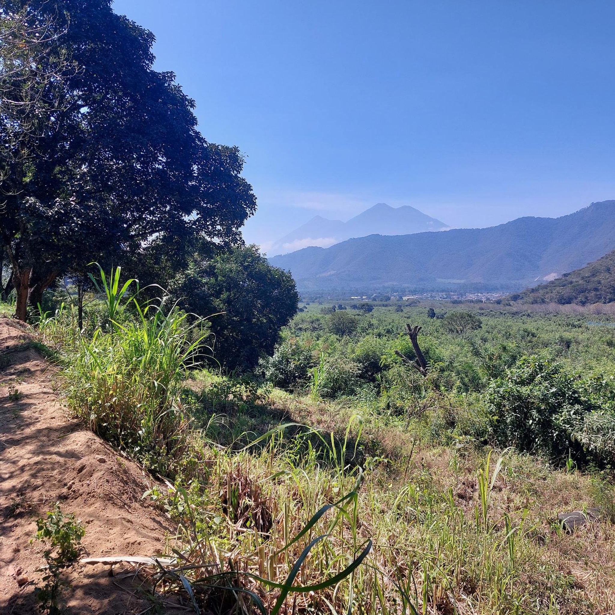
Road cycling in Santa Lucía Milpas Altas offers challenging routes through a landscape characterized by rolling hills and volcanic terrain. Situated at an elevation of approximately 7,218 feet (2,200 meters), the region features significant elevation changes, including steep climbs and descents. While many roads are paved, some sections may include unpaved or gravel surfaces. This area forms part of a broader network of road cycling routes within the Guatemalan Highlands.
Best road cycling routes in Santa Lucía Milpas Altas
- The…
Last updated: May 17, 2026
5.0
(2)
38
riders
83.7km
04:59
1,510m
1,510m
Hard road ride. Very good fitness required. Some segments of this route may be unpaved and difficult to ride.
15
riders
79.9km
04:30
1,280m
1,280m
Hard road ride. Very good fitness required. Some segments of this route may be unpaved and difficult to ride.

Sign up for free
10
riders
36.2km
01:57
620m
620m
Moderate road ride. Good fitness required. Mostly well-paved surfaces and easy to ride.
3
riders
39.7km
02:25
910m
910m
Hard road ride. Very good fitness required. Mostly well-paved surfaces and easy to ride.
1
riders
27.6km
02:04
850m
850m
Moderate road ride. Good fitness required. Some segments of this route may be unpaved and difficult to ride.
2
riders
110km
05:56
1,820m
1,820m
Hard road ride. Very good fitness required. Mostly well-paved surfaces and easy to ride.
2
riders
63.5km
03:45
1,170m
1,170m
Hard road ride. Very good fitness required. Mostly well-paved surfaces and easy to ride.
Our route recommendations are based on thousands of hikes, rides, and runs completed by other people on komoot.
Start today with a free account
Your next adventure awaits.
Login or Signup
Popular around Santa Lucía Milpas Altas
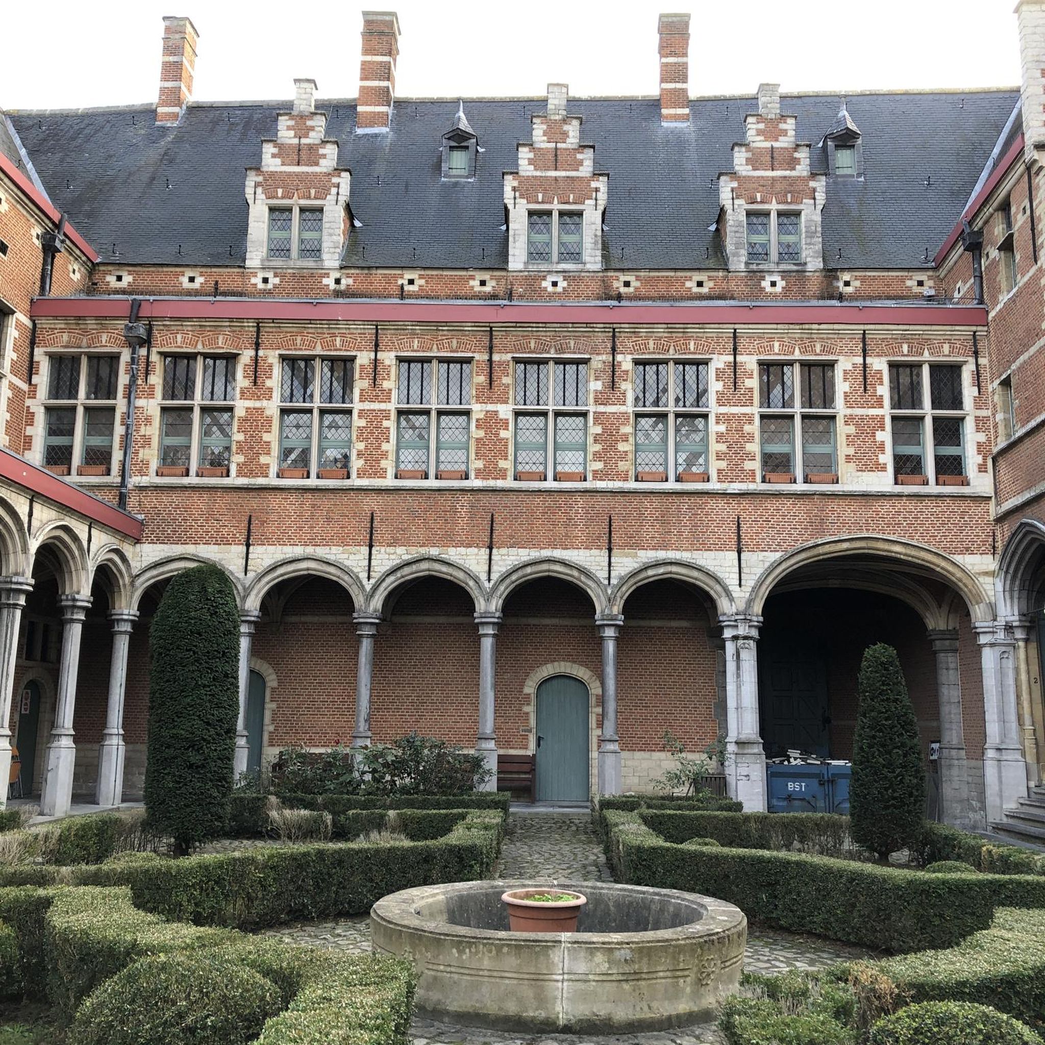
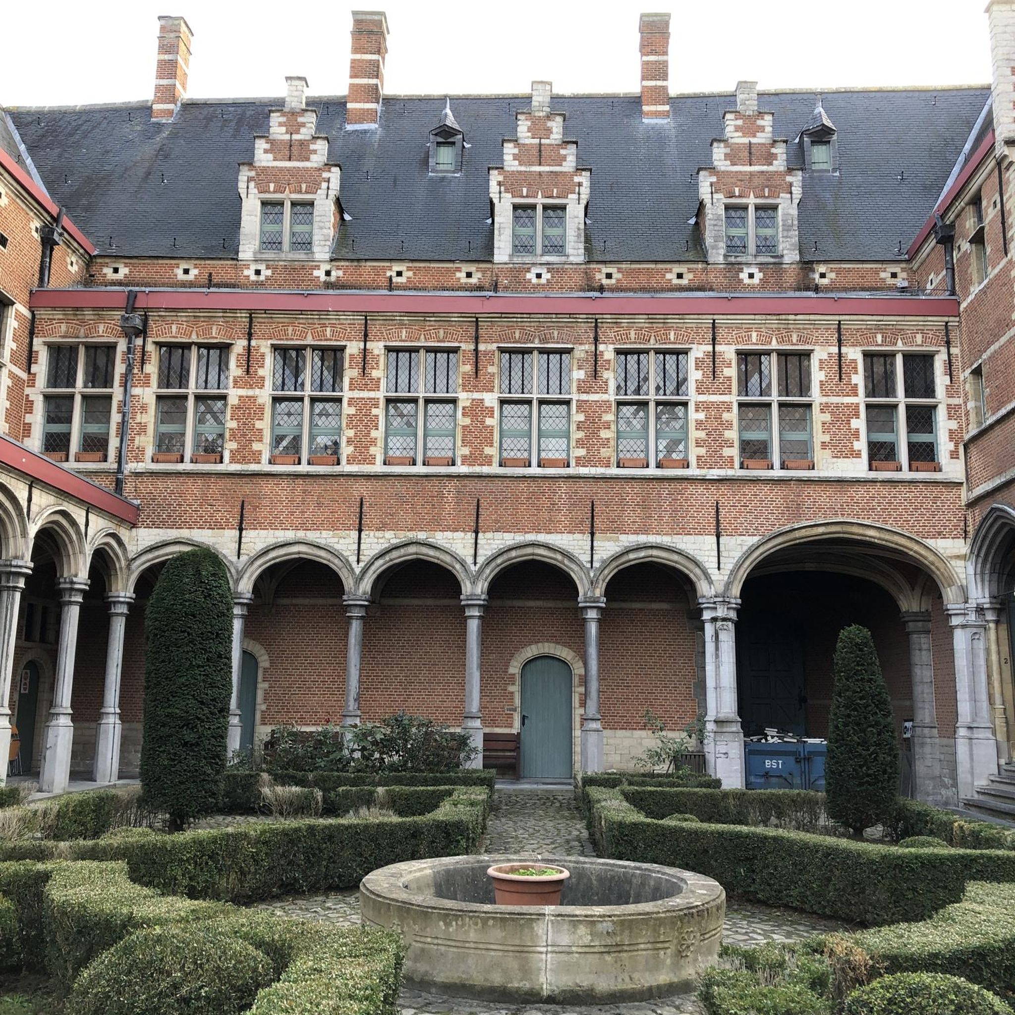

Tips from the Community

Right next to Plaza Central, a beautiful square with a park in the middle of the city
1
0

Come by bike, it's more practical and sustainable.
0
0

A wonderfully green park in the heart of the city. Sitting on one of the benches you can watch the hustle and bustle around you.
1
0

Avoid the risky ascent of Villalobos and 8-11 degrees of incline in addition to very fast traffic going up
0
0
Frequently Asked Questions
How many road cycling routes are available in Santa Lucía Milpas Altas?
There are 6 road cycling routes available in Santa Lucía Milpas Altas, offering a range of experiences for cyclists. These routes are highly rated by the komoot community, with an average score of 5.0 stars.
What is the typical terrain like for road cycling in Santa Lucía Milpas Altas?
The terrain in Santa Lucía Milpas Altas is characterized by rolling hills and volcanic landscapes, presenting significant elevation changes with steep climbs and descents. While many roads are paved, cyclists should be prepared for some sections that may include unpaved or gravel surfaces, adding to the adventure.
Are there any moderate road cycling routes in the area?
Yes, there are moderate options available. For example, the Mirador Ciudad Vieja – Mi casa loop from Sumpango is a 22.5-mile (36.2 km) route that offers a balanced cycling experience through varied terrain. Another moderate option is the Roadbike loop from San Lucas Sacatepéquez, covering 27.6 miles (44.4 km).
What are some challenging road cycling routes for experienced riders?
Experienced riders looking for a challenge can explore routes like the Parque Erick Barrondo loop from Guatemala, a difficult 52.0-mile (83.7 km) trail with substantial elevation gain. Another demanding option is the Roadbike loop from Parramos, which navigates the region's volcanic terrain with panoramic views and demanding climbs over 49.7 miles (79.9 km).
What is the best time of year for road cycling in Santa Lucía Milpas Altas?
The temperate climate makes road cycling enjoyable for much of the year. However, the dry season, which typically runs from November to April, offers ideal conditions for exploring the region on two wheels. Cyclists should still be prepared for varying weather conditions, including wind, regardless of the season.
Are there any long-distance road cycling routes in Santa Lucía Milpas Altas?
Yes, for those seeking longer rides, the Cycle Works (4° Norte) – Parque Erick Barrondo loop from Guatemala is a challenging route spanning approximately 68.6 miles (110.4 km). This route offers extensive exploration of the highland landscape.
What kind of natural features and viewpoints can I expect to see while cycling?
The region offers stunning panoramic views of surrounding mountains and lush valleys. You can expect to see diverse ecological zones, including cloud forests and highland ecosystems. A prominent natural landmark is Volcan de Agua, and for expansive vistas, Cerro de la Cruz is a popular viewpoint overlooking Antigua.
Are there any loop routes available for road cyclists?
Many of the road cycling routes in Santa Lucía Milpas Altas are designed as loops, providing convenient starting and ending points. Examples include the Parque Erick Barrondo loop from Guatemala and the Mirador Ciudad Vieja – Mi casa loop from Sumpango.
What should I wear or bring for road cycling in this region?
Given the varying weather conditions and potential for wind, it's advisable to wear layers and bring appropriate gear. This includes a windbreaker or light jacket, as well as standard cycling attire. Always carry enough water and snacks, especially for longer routes with significant elevation changes.
Can I find places to eat or rest along the cycling routes?
While specific cafes or dedicated cyclist rest stops are not detailed, the area offers local markets and cultural experiences where you might find opportunities for refreshments. The proximity to Antigua Guatemala also means more options for dining and accommodation are easily accessible.
What makes road cycling in Santa Lucía Milpas Altas unique?
Road cycling in Santa Lucía Milpas Altas is unique due to its high elevation (around 7,218 feet or 2,200 meters), offering challenging routes with significant climbs and descents through volcanic landscapes. The blend of paved and occasional unpaved sections, coupled with stunning panoramic views and a temperate climate, provides a distinctive and adventurous cycling experience within the Guatemalan Highlands.
Most popular routes in Santa Lucía Milpas Altas

Get inspired with the komoot mobile app


Explore more
Browse the best Road cycling routes in other regions.
