The best cycling routes around Häg-Ehrsberg
4.6
(1954)
11,332
riders
254
rides
Touring cycling around Häg-Ehrsberg offers diverse landscapes within the Southern Black Forest, characterized by elevations ranging from 540 to 1192 meters above sea level. The region features picturesque forests and rolling hills, providing a scenic backdrop for cycling. It is part of the expansive Nature Reserve Southern Black Forest and includes the Wiesental valley and the Angenbach brook. This area provides varied terrain for touring cyclists, from valley routes to climbs towards elevated points like the Belchen Summit.
Best touring…
Last updated: October 11, 2026
4.8
(54)
159
riders
42.0km
03:23
760m
760m
Hard bike ride. Very good fitness required. Mostly paved surfaces. Suitable for all skill levels.
5.0
(7)
95
riders
55.7km
04:19
1,480m
1,480m
Hard bike ride. Very good fitness required. Mostly paved surfaces. Suitable for all skill levels.

4.9
(31)
186
riders
22.6km
01:26
140m
140m
Easy bike ride. Great for any fitness level. Mostly paved surfaces. Suitable for all skill levels.
5.0
(3)
21
riders
23.9km
02:22
500m
500m
Hard bike ride. Very good fitness required. Mostly paved surfaces. Suitable for all skill levels.
5.0
(2)
50
riders
Easy bike ride. Great for any fitness level. Mostly paved surfaces. Suitable for all skill levels.
Get access to more routes and recommendations from other explorers.
Already have an account?
Our route recommendations are based on thousands of hikes, rides, and runs completed by other people on komoot.
Start today with a free account
Your next adventure awaits.
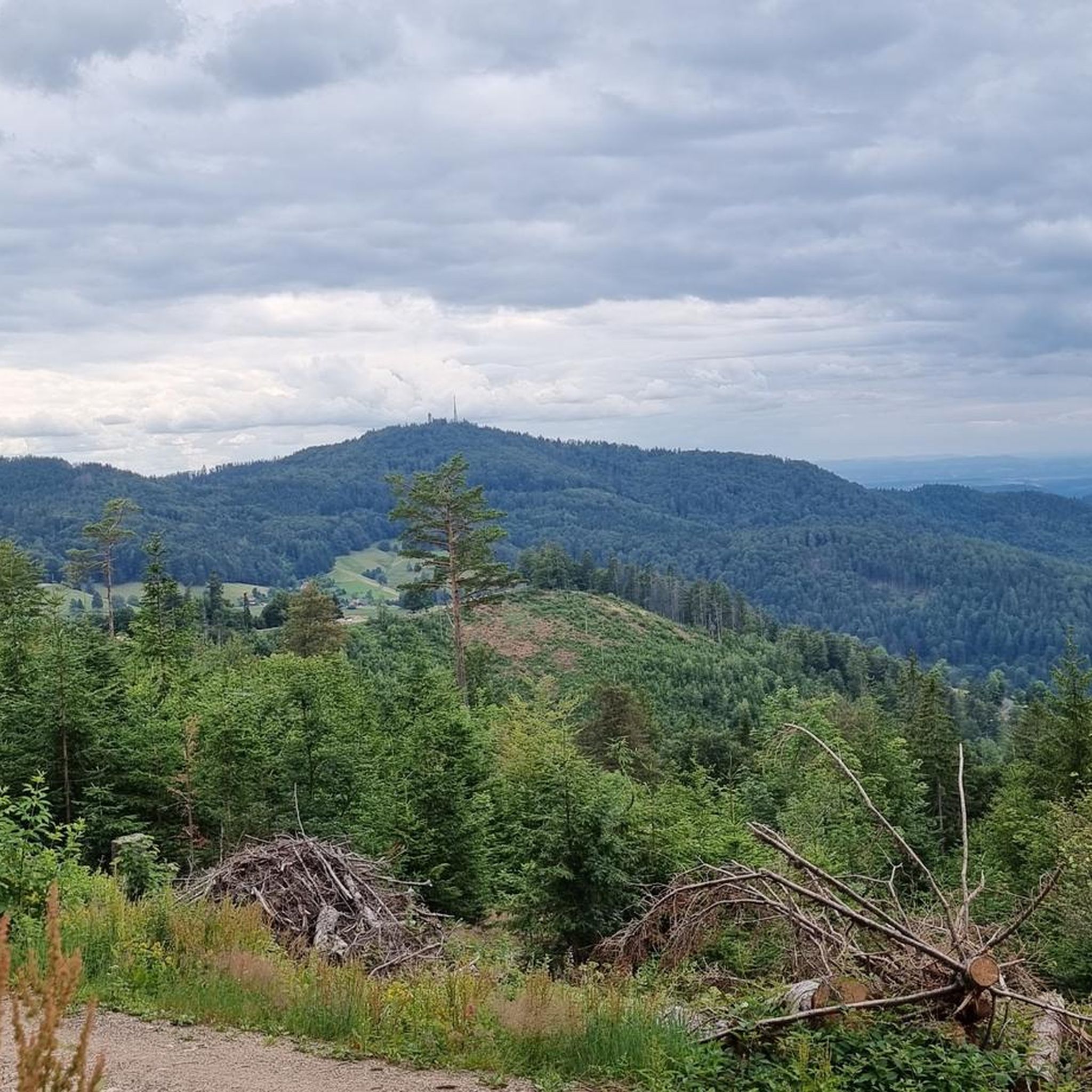
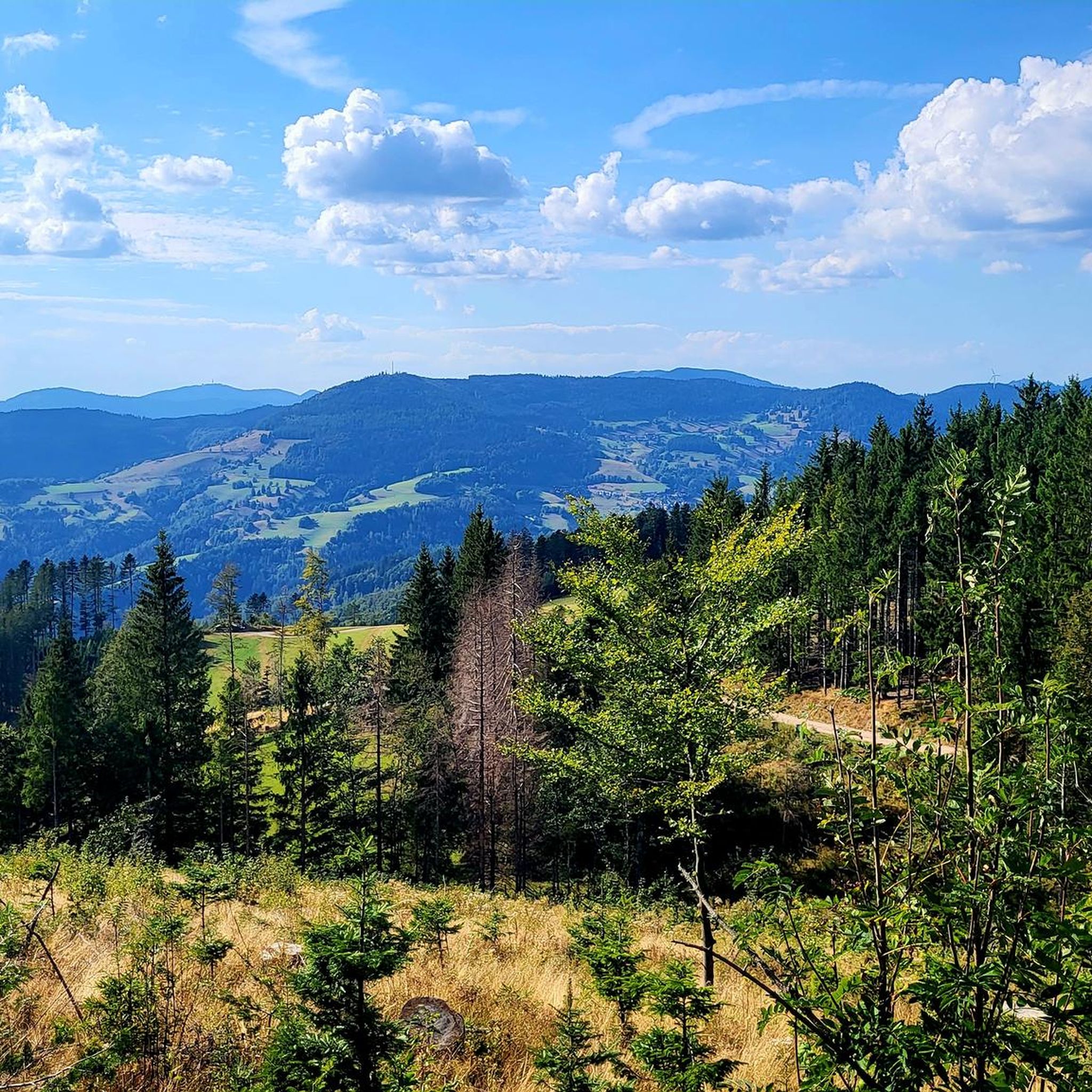
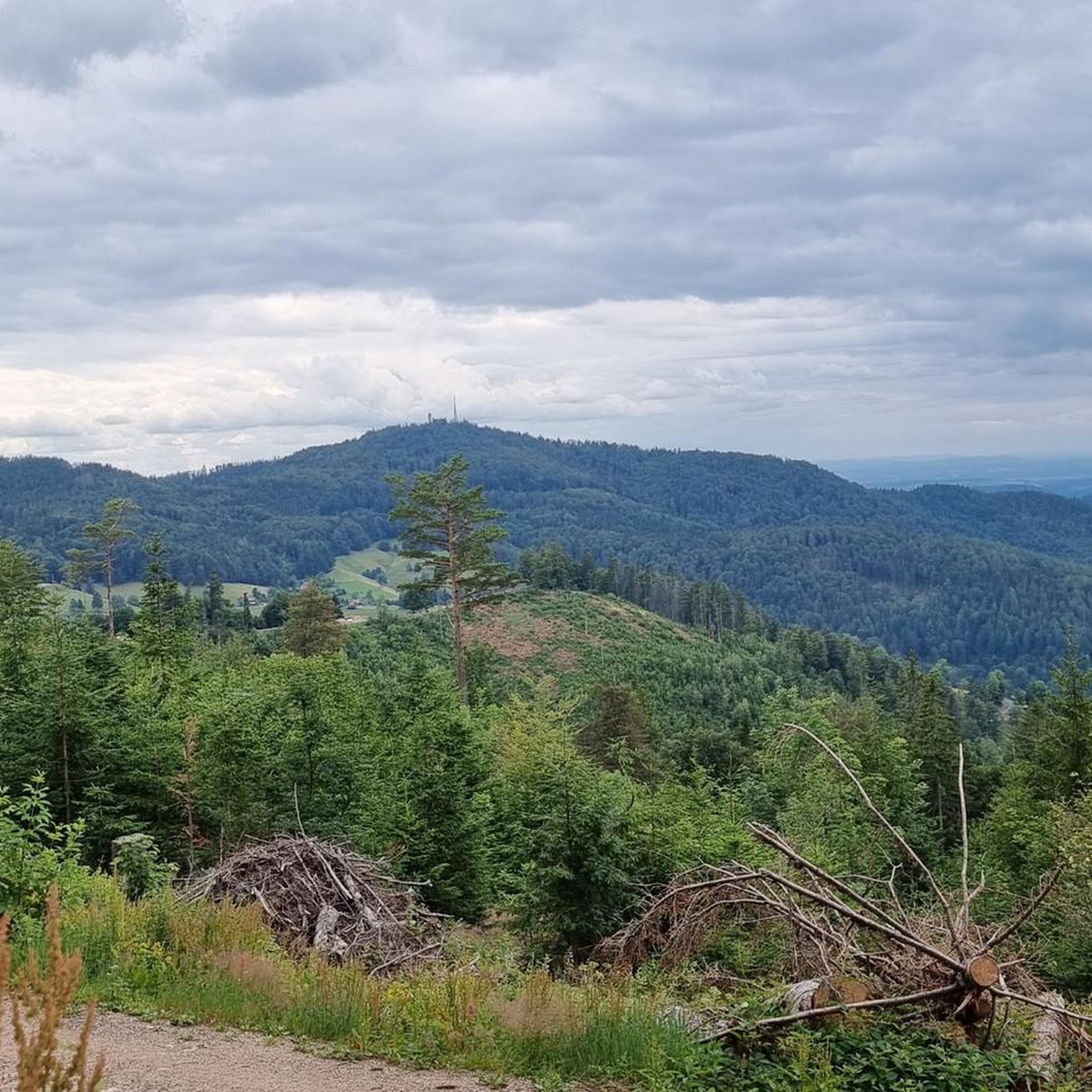
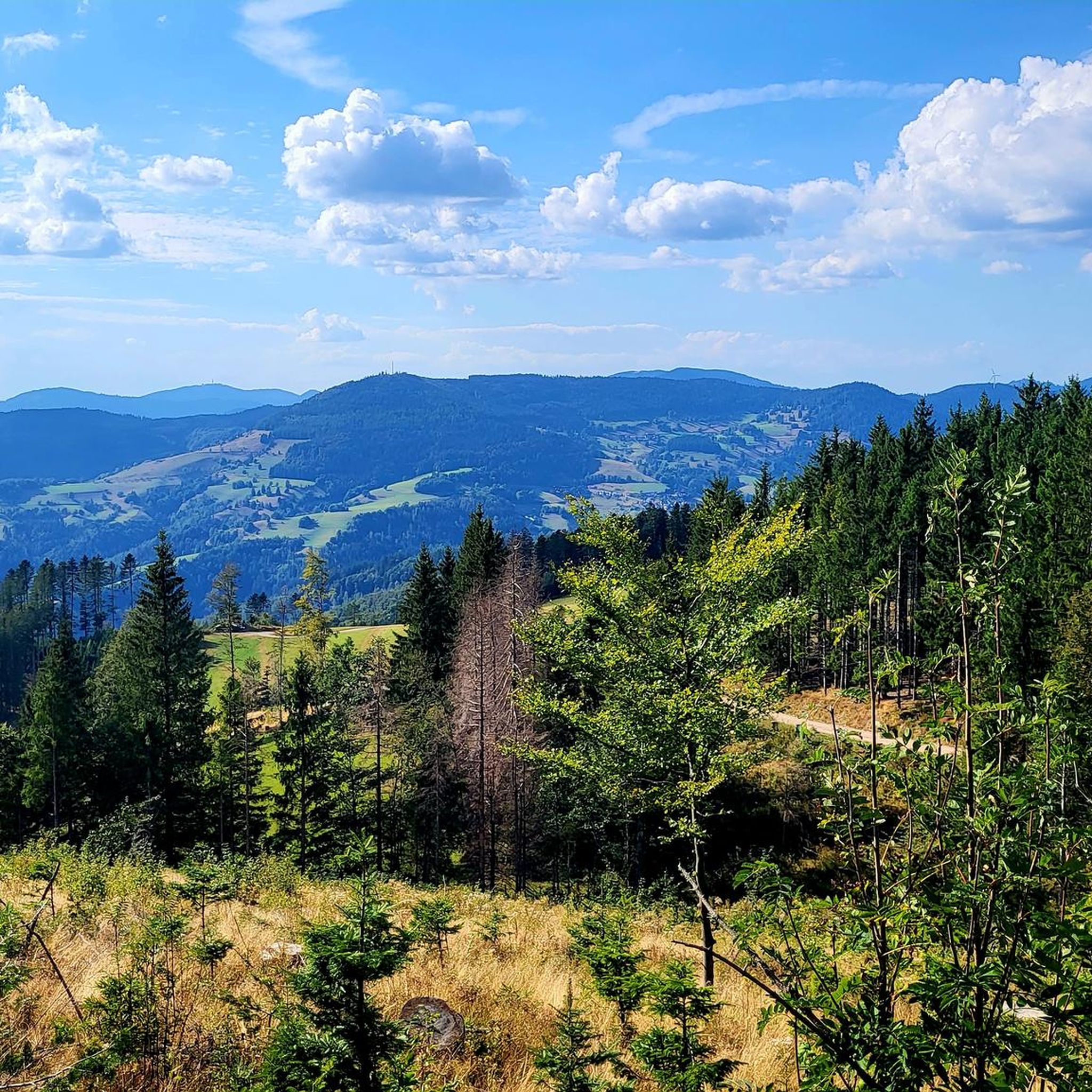

Tips from the Community

... the "Belchen" in the district "Lörrach", Baden-Württemberg. - the "Belchen-Gipfel" has been closed to general car traffic since 2001 - accessible "on foot" or by the "Belchen-Seilbahn" For those interested!!! - the "Belchen" is with almost 1415 m ü. NHN the fourth highest elevation in the Black Forest - on the treeless mountain summit, you have a magnificent panoramic view of the surrounding area - Naming: "belche" means "white spot", the mountain summit stands out from the dark forest surrounding it - the Belchen triangle: from the "Belchen" in the Black Forest, you can (with good visibility) see the "Großer Belchen" (= Ballon d'Alsace) in Alsace or the "Belchen" (= Belchenflue) in Switzerland - all 3 "Belchen" form an (almost) right-angled triangle https://www.badenpage.de/ausflugsziele/ausflugsziele-in-der-region-dreyeckland/belchendreieck.html - Naming: "belche" means "white spot", the mountain summit stands out from the dark forest surrounding it
0
0

Today's cycle path was once a railway line. It reports on the station and the Totdnauerli.
1
0


If your route leads directly from Checkpoint Hinter Stadel to Checkpoint Ranch (or vice versa), we'll actually give you the Belchen for free. Your path will lead over the Wiedener Eck anyway, and from there it's only a little over 400 meters of elevation gain extra to the Belchen. This makes it (if you count the two Kaiserstuhl peaks as one) the smallest peak of the Nuff Na. It's all just a question of perspective. Speaking of perspective: The word comes from the 16th century from the French perspective ("art of seeing, distant view"). And from up there, you have a view over the entire Southern Black Forest, to the Vosges, and even to the Alps. Enjoy it!
0
0

The tunnel is just on the way. But it's an interesting experience - especially if the lights fail... But don't panic, the tunnel isn't long!
0
0

At 34°C, it's a wonderfully cool stretch – but only on the return trip. You have to take the ride to experience the time of the "Todtnauerli"!
0
0

The poet, theologian, and educator Johann Peter Hebel lived in the Hebelhaus during his childhood – only in winter. Today, the house (built in 1562) houses a literature museum.
0
0
There are information boards along the Todtnauerli cycle path that tell about the time when the narrow-gauge railway was running in the Wiesental.
1
0
Frequently Asked Questions
How many touring cycling routes are available around Häg-Ehrsberg?
There are over 240 touring cycling routes around Häg-Ehrsberg, offering a wide range of options for different skill levels and preferences. These include 29 easy, 88 moderate, and 126 difficult routes.
What kind of terrain can I expect on touring cycling routes in Häg-Ehrsberg?
The region offers diverse landscapes, from picturesque forests and rolling hills to scenic valleys. You'll find routes that follow the Angenbach brook and the Wiesental valley, as well as climbs towards elevated points like the Belchen Summit. The terrain varies, providing options for both gentle rides and challenging ascents.
Are there any circular touring cycling routes in Häg-Ehrsberg?
Yes, Häg-Ehrsberg features several scenic circular routes. For example, a particularly scenic option takes riders over the high plateau of Herrenschwand towards Ehrsberg, offering stunning views over Schönau up to the Belchen. Many routes are designed as loops, allowing you to start and end in the same location.
What are some scenic viewpoints or landmarks I can see along the touring cycling routes?
Many routes offer panoramic views, especially from higher elevations. The Wiedener Eck Pass – View from Belchen Summit loop from Lebküchlerweg provides breathtaking vistas from the Belchen Summit, one of the Black Forest's most beautiful mountains. Other notable natural features in the wider region include the Todtnau Waterfall and the Häg Waterfalls. You might also encounter highlights like the Nonnenmatt Pond or the Krai-Woog Gumpen Waterfall and Glacial Mill.
What is the best time of year for touring cycling in Häg-Ehrsberg?
Häg-Ehrsberg is generally excellent for cycling from spring through autumn. The region's diverse landscapes are particularly beautiful during these seasons. While specific weather conditions can vary, the moderate difficulty of many routes makes them enjoyable for a significant portion of the year. In winter, the area transforms into a destination for cross-country skiing and snowshoe hiking, so cycling is best avoided then.
Are there any family-friendly touring cycling routes in the area?
While many routes in Häg-Ehrsberg are rated moderate to difficult due to the hilly terrain, there are 29 easy routes available that might be suitable for families. These routes often follow flatter sections along valleys or through less challenging forest paths. Always check the route details for elevation gain and distance to ensure it matches your family's ability.
Can I bring my dog on touring cycling routes in Häg-Ehrsberg?
Many touring cycling routes in Häg-Ehrsberg pass through natural areas and forests where dogs are generally welcome, provided they are kept on a leash and you adhere to local regulations, especially within the Nature Reserve Southern Black Forest. Always ensure your dog is fit enough for the distance and elevation, and carry enough water for both of you.
Where can I find parking or public transport access for touring cycling routes?
Parking is often available at trailheads or in the villages surrounding Häg-Ehrsberg. For public transport, the region is part of the Southern Black Forest, which has some bus connections. It's advisable to check local public transport schedules and parking availability for your specific starting point before heading out, as options can vary by location.
What do other touring cyclists enjoy most about cycling in Häg-Ehrsberg?
The touring cycling experience in Häg-Ehrsberg is highly rated by the komoot community, with an average score of 4.6 stars from over 1600 reviews. Cyclists often praise the picturesque forests, rolling hills, and scenic valleys that define the routes. The relatively low traffic on roads also contributes to a pleasant cycling experience.
Are there any interesting historical or cultural points of interest along the routes?
Yes, some routes pass through or near historic areas. For instance, the Schopfheim Old Town – Todtnauerli Tunnel loop from Wembach explores historic areas and passes through a notable tunnel, offering a glimpse into the region's past. The area's traditional villages and mountain lodges, like the Krunkelbachhütte, also provide cultural interest.
Are there places to eat or stay overnight near the touring cycling routes?
Häg-Ehrsberg and the surrounding villages offer various options for refreshments and accommodation. You'll find local cafes, pubs, and restaurants to refuel, as well as guesthouses and hotels for overnight stays. The Krunkelbachhütte Mountain Lodge, for example, provides a cozy stop with amenities and mountain views.
What is the difficulty level of the touring cycling routes in Häg-Ehrsberg?
The routes around Häg-Ehrsberg cater to various skill levels. While there are 29 easy routes, the majority are classified as moderate (88 routes) or difficult (126 routes). This means you can find everything from gentle rides through valleys to challenging climbs with significant elevation gain, such as the St. Antoni Pass summit – St. Amantini hut loop from Gersbach.
Most popular routes around Häg-Ehrsberg
Most popular attractions around Häg-Ehrsberg

Get inspired with the komoot mobile app


Explore more
Browse the best Cycling routes in other regions.
