The best walks and hikes in Turrialba
4.7
(146)
1,338
hikers
18
hikes
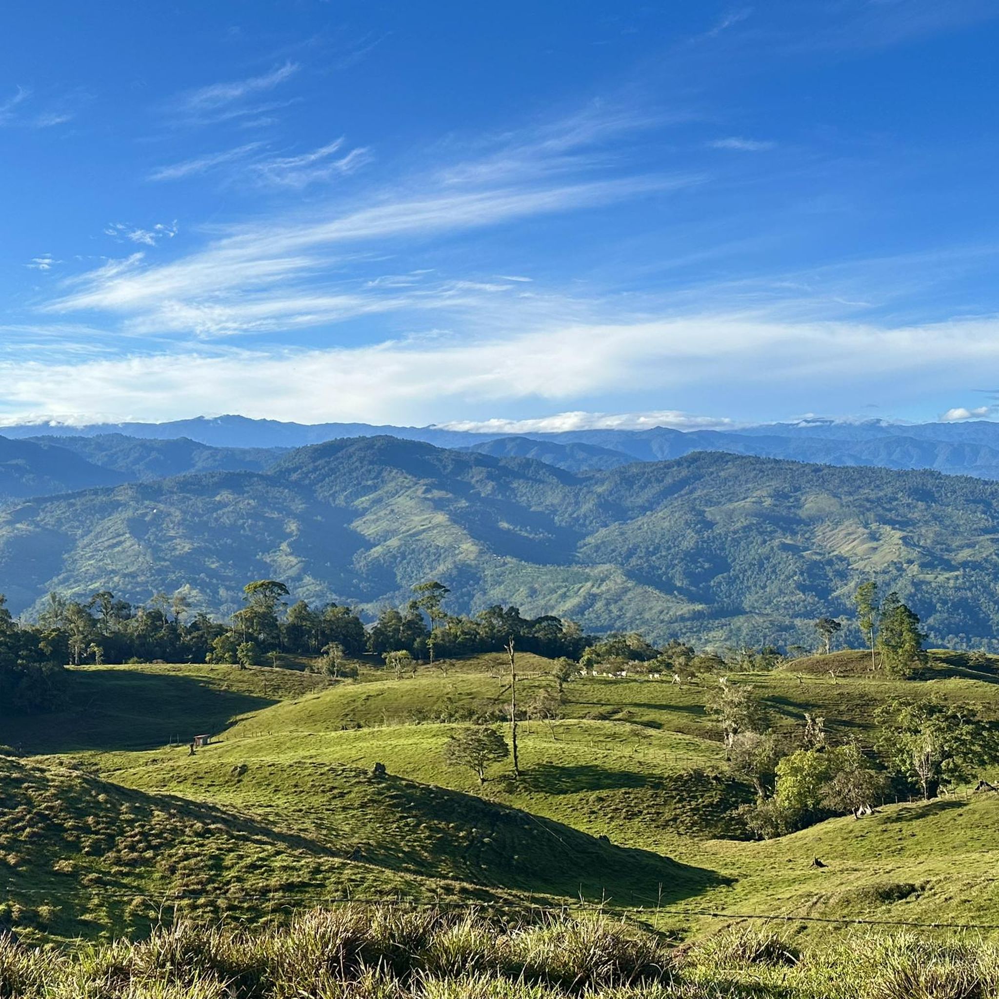
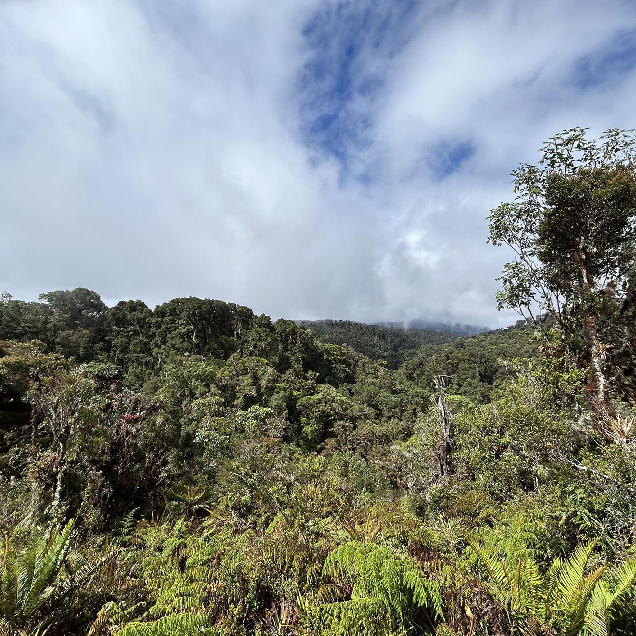
Hiking in Turrialba offers diverse landscapes centered around the active Turrialba Volcano, which stands at 10,958 feet (3,340 meters). The region features varied ecosystems, including dense cloud forests, lush rainforests, and highland moors. Rivers like the Pacuare and Reventazón carve through canyons, adding to the dramatic terrain. This area provides a range of trails through volcanic landscapes and rich biodiversity.
Best hiking trails in Turrialba
- The most popular hiking route is Main Crater of Irazú Volcano – View of Irazú…
Last updated: May 20, 2026
4.5
(27)
236
hikers
Easy hike. Great for any fitness level. Easily-accessible paths. Suitable for all skill levels.
4.6
(12)
147
hikers
7.53km
02:27
350m
350m
Moderate hike. Good fitness required. Easily-accessible paths. Suitable for all skill levels.

Sign up for free
4.8
(5)
68
hikers
6.89km
02:49
570m
570m
Moderate hike. Good fitness required. Easily-accessible paths. Suitable for all skill levels.
5.0
(1)
32
hikers
Moderate hike. Good fitness required. Easily-accessible paths. Suitable for all skill levels.
5.0
(1)
14
hikers
5.76km
02:17
410m
410m
Moderate hike. Good fitness required. Easily-accessible paths. Suitable for all skill levels.
5.0
(4)
13
hikers
Easy hike. Great for any fitness level. Easily-accessible paths. Suitable for all skill levels.
5.0
(1)
8
hikers
6.81km
02:02
220m
220m
Moderate hike. Good fitness required. Easily-accessible paths. Suitable for all skill levels.
Get access to more routes and recommendations from other explorers.
Sign up for free
Already have an account?
Our route recommendations are based on thousands of hikes, rides, and runs completed by other people on komoot.
Start today with a free account
Your next adventure awaits.
Login or Signup


Tips from the Community

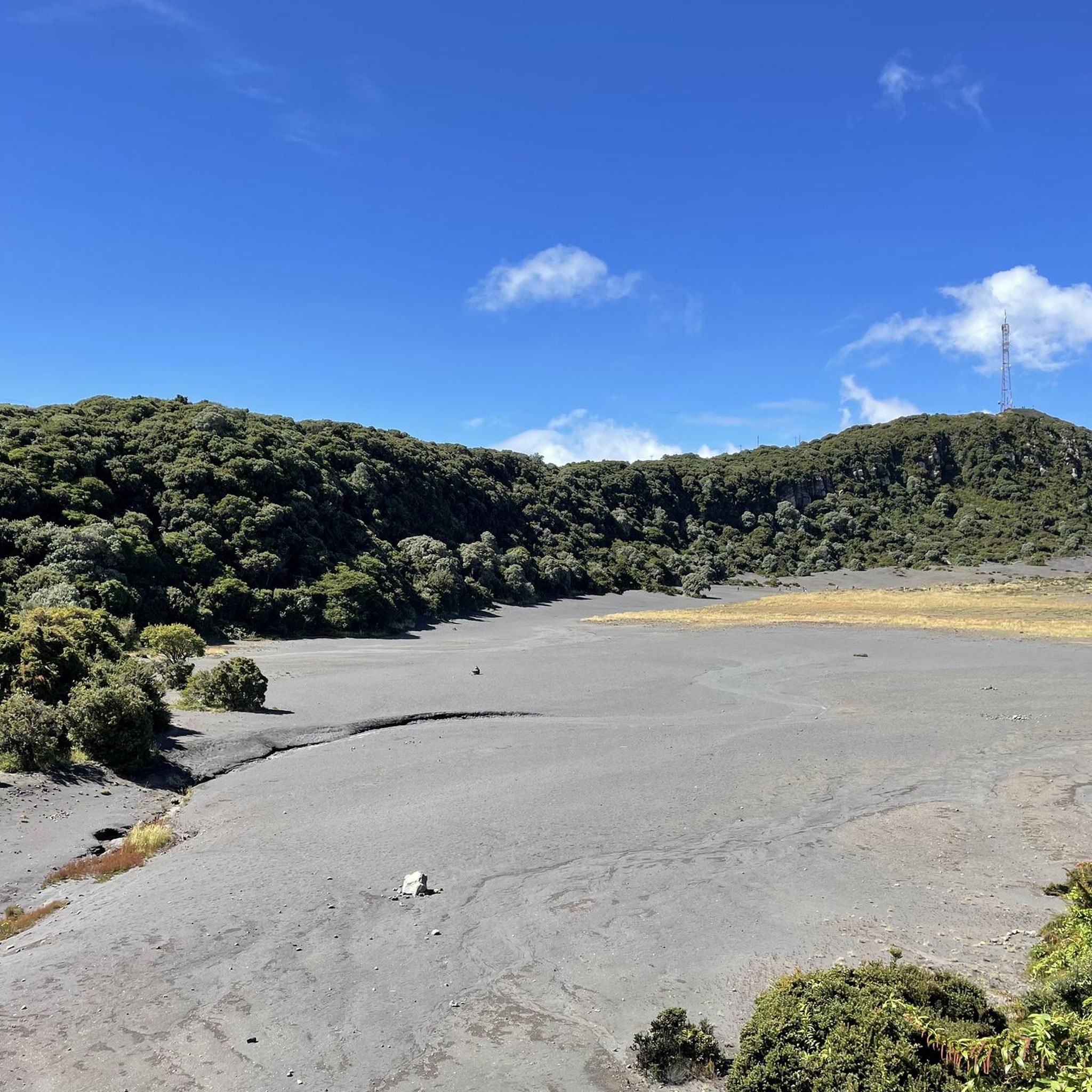
A hill 3,760 meters above sea level. Very pretty. There are no trees, many rocks, and it's a flat little hole.
0
0

Here you can buy souvenirs and there is also a small café/bakery
0
0

A very beautiful viewpoint. We used the short circular trail to acclimatize/prepare for Cerro Chirripó, as you're at a very high altitude. Due to the altitude, it can be chilly and windy; we were there in April, and a sweater was sufficient. I can definitely recommend visiting the volcano in the morning. Between 8 and 10 a.m., there are hardly any people there, and the sky is usually still clear at this time. Clouds usually move up the mountain from mid-morning onward. The view is magnificent; however, the turquoise lakes aren't visible during the dry season; they're probably only full during the rainy season. There's a small restaurant that leaves nothing to be desired; all in all, it's fantastic.
0
0
For hikes to Chirripó or in the surrounding area, it is a good idea to spend at least one night in camp. From San Gerardo de Rivas, the climb to the camp takes 6 to 8 hours, and to the summit another 2.5 hours if you are in good shape. The supplies at the camp are very good; you get wholesome meals and there is a kiosk. You can borrow blankets, towels, etc., thus saving on backpack weight. Luggage transport is also offered, but in my opinion it is not necessary. For the descent, if you are in good shape, you should plan on 1-1.5 hours from the summit and 5-6 hours back to the valley. It is quite a knee-breaker on the way back, but it is worth it. There are hardly any people in the park and the nature is simply unbelievably beautiful. We were there in April and had two days with good weather until late afternoon, after which the clouds move up the mountain. You can park in San Gerardo de Rivas in several private parking lots for little money.
0
0

A visit worth it for volcano lovers. Recommended in the morning
0
0

Very windy but beautiful.
0
0
Very windy but beautiful.
1
0

Remember to register online at the parque before going there. It's possible at the parque to register, but it can happen that the internet connection does not work or that there are already alot of people in the park and you will not get permission to enter.
3
0
Frequently Asked Questions
What types of hiking trails can I find in Turrialba?
Turrialba offers a diverse range of hiking trails, from easy walks to more challenging ascents. You'll find paths through volcanic landscapes, dense cloud forests, lush rainforests, and highland moors. The region is characterized by its dramatic terrain, including canyons carved by rivers like the Pacuare and Reventazón.
Are there any easy or beginner-friendly hikes in Turrialba?
Yes, Turrialba has several easy routes suitable for beginners. For example, the Main Crater of Irazú Volcano – View of Irazú Volcano Crater loop from Irazú Volcano National Park is an easy 2.7-mile (4.4 km) trail. Another option is the Main Crater of Irazú Volcano – View of Irazú Volcano Crater loop from Fanguillo, which is even shorter at 1.2 miles (1.9 km).
Can I find circular hiking routes in Turrialba?
Yes, many trails in Turrialba are designed as loops, allowing you to start and end at the same point. A popular moderate option is the Hiking loop from Parque Nacional Volcán Turrialba, which explores the varied terrain within the national park. Another moderate loop is the Laguna Ditkevi – Río Talari Lake loop from Los Arias, covering about 4.2 miles (6.8 km).
What are some notable natural attractions or landmarks to see while hiking in Turrialba?
The region is dominated by the active Turrialba Volcano, offering dramatic views and high-elevation hikes. You can also explore diverse ecosystems with cloud forests and rainforests. Beyond the volcano, consider visiting the La Marta Wildlife Refuge for trails and river views, or the Guayabo National Monument to see ancient archaeological ruins. The CATIE Botanical Garden also offers diverse plant life and birding opportunities.
What is the best time of year to go hiking in Turrialba?
Turrialba experiences a tropical climate. Generally, the drier season from December to April is ideal for hiking, offering clearer skies and more comfortable conditions. However, the lushness of the rainforests is often at its peak during the wetter months, which can also be a beautiful time to visit, though trails might be muddier.
Are there opportunities to see wildlife on the trails?
Absolutely. Turrialba's diverse ecosystems, including cloud forests and rainforests, are home to a rich array of flora and fauna. Hikers might encounter howler monkeys, toucans, armadillos, coatis, and over 80 bird species, including the elusive quetzal, especially in areas like Turrialba Volcano National Park and La Marta Wildlife Refuge.
Are there any family-friendly hiking options in Turrialba?
While specific 'family-friendly' designations aren't always explicit, many of the easier and shorter routes are suitable for families. The easy trails around Irazú Volcano, such as the Hiking loop from Cooperativa (0.8 miles / 1.3 km), could be good options for families with children, depending on their fitness levels.
What do other hikers say about the trails in Turrialba?
The routes in Turrialba are highly rated by the komoot community, with an average score of 4.8 stars from over 140 reviews. Hikers often praise the varied terrain, the stunning volcanic landscapes, and the rich biodiversity encountered along the paths.
Is it possible to hike to the Turrialba Volcano crater?
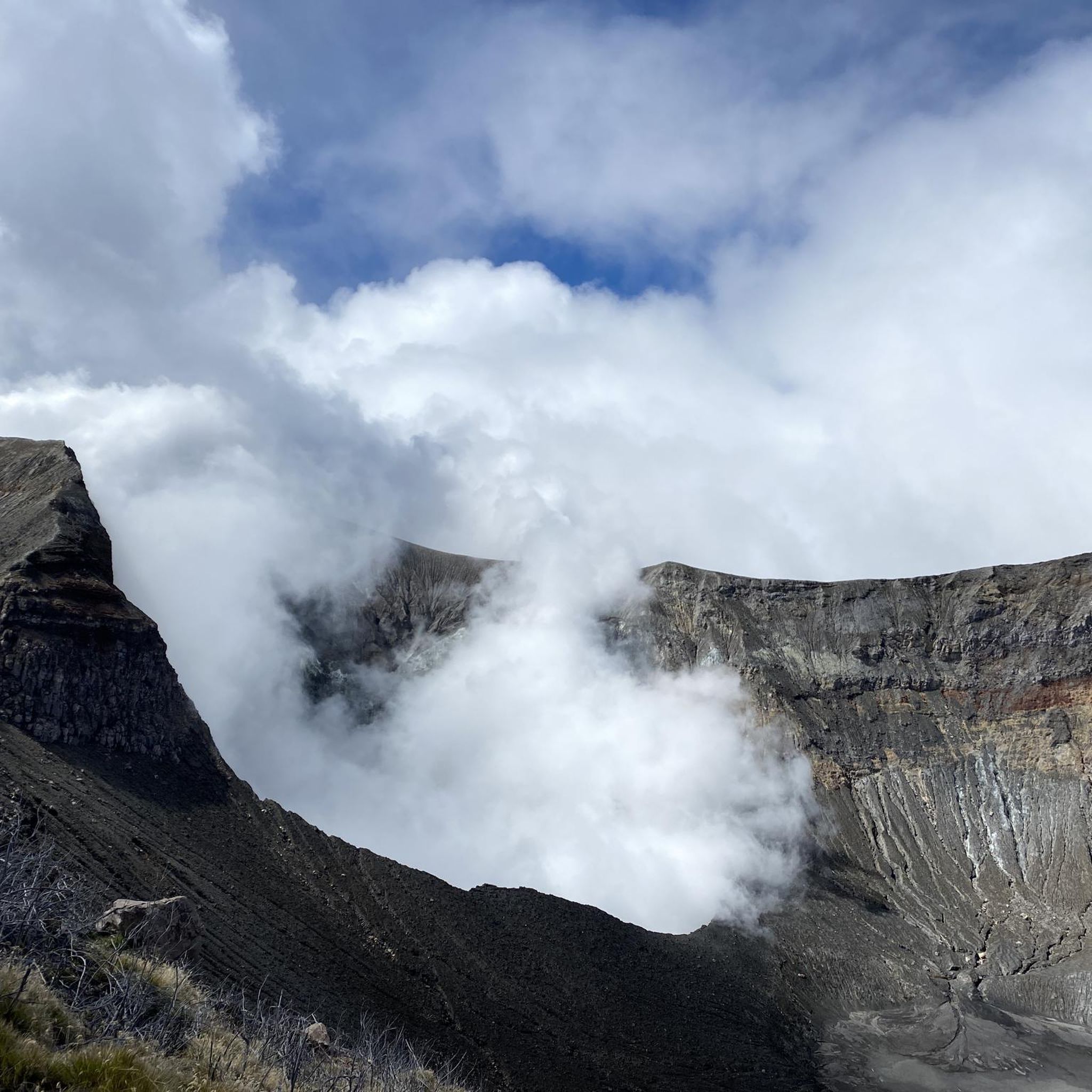
Yes, hiking to the Turrialba Volcano crater is a significant undertaking. The Turrialba Volcano National Park, which reopened in 2026, requires visitors to book guided tours. The Crater Trail (Sendero al Cráter Principal) is the park's most iconic route, offering close-up views of steaming vents. The ascent can take 4 to 6 hours and is recommended with a guide due to the terrain and altitude.
Are there any trails that feature waterfalls or rivers?
The Turrialba region is surrounded by rivers like the Pacuare and Reventazón, which carve through lush canyons. While specific hiking trails directly to major waterfalls aren't detailed in the guide data, the area is known for canyoning, which involves rappelling down rainforest waterfalls. The La Marta Wildlife Refuge also features two rivers and trails alongside them.
How many hiking trails are available in the Turrialba region?
There are over 18 hiking routes documented in the Turrialba region on komoot, offering a wide variety of experiences for different skill levels. These include 6 easy, 9 moderate, and 3 difficult trails.
What are the typical lengths and durations of hikes in Turrialba?
Hikes in Turrialba vary significantly in length and duration. Easy trails can be as short as 0.8 miles (1.3 km) taking less than an hour, while moderate loops like the Hiking loop from Parque Nacional Volcán Turrialba are around 4.3 miles (6.9 km) and can take over 2.5 hours. More challenging ascents, especially to the volcano summit, can be much longer and take 4-6 hours or more.

Get inspired with the komoot mobile app


Didn’t find what you were looking for?
Check out more Hikes throughout Turrialba below and find the perfect route in your destination.
Explore more
Browse the best Hikes in other regions.
