The best MTB trails in Zarcero
5.0
(3)
52
riders
9
rides
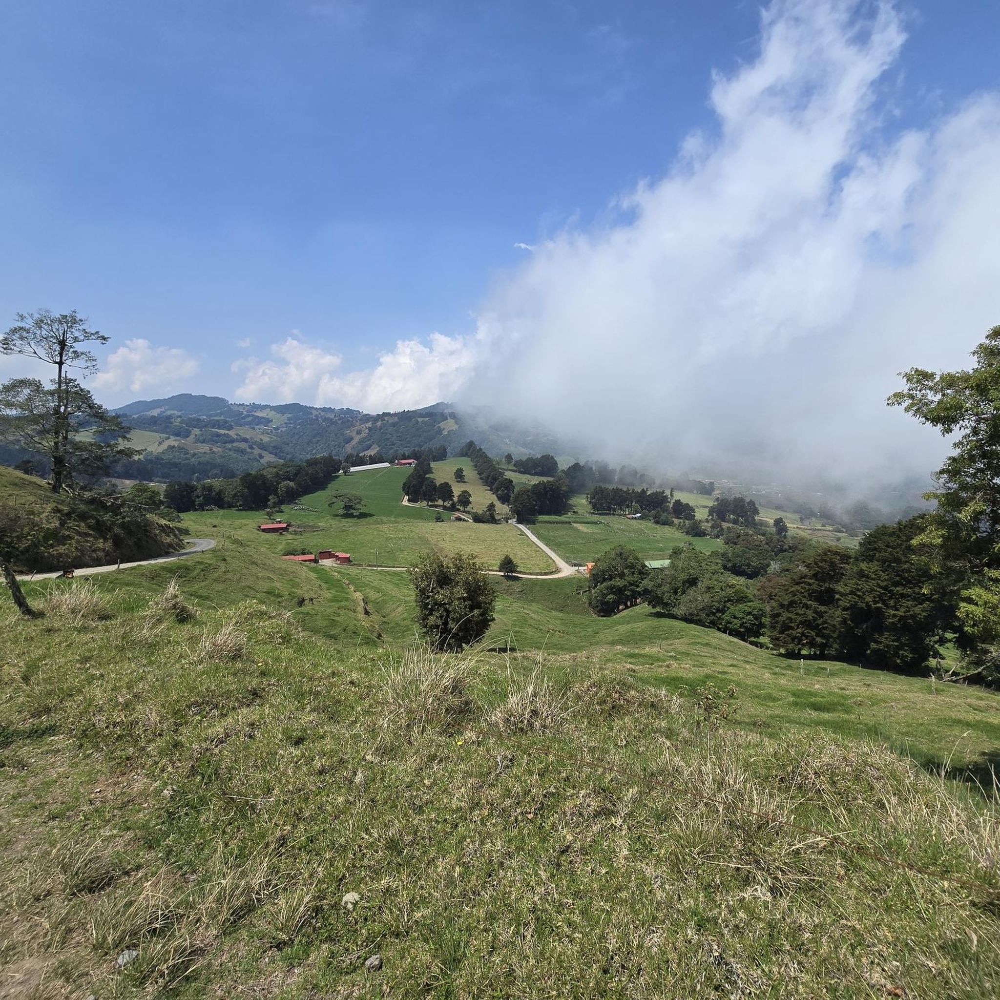
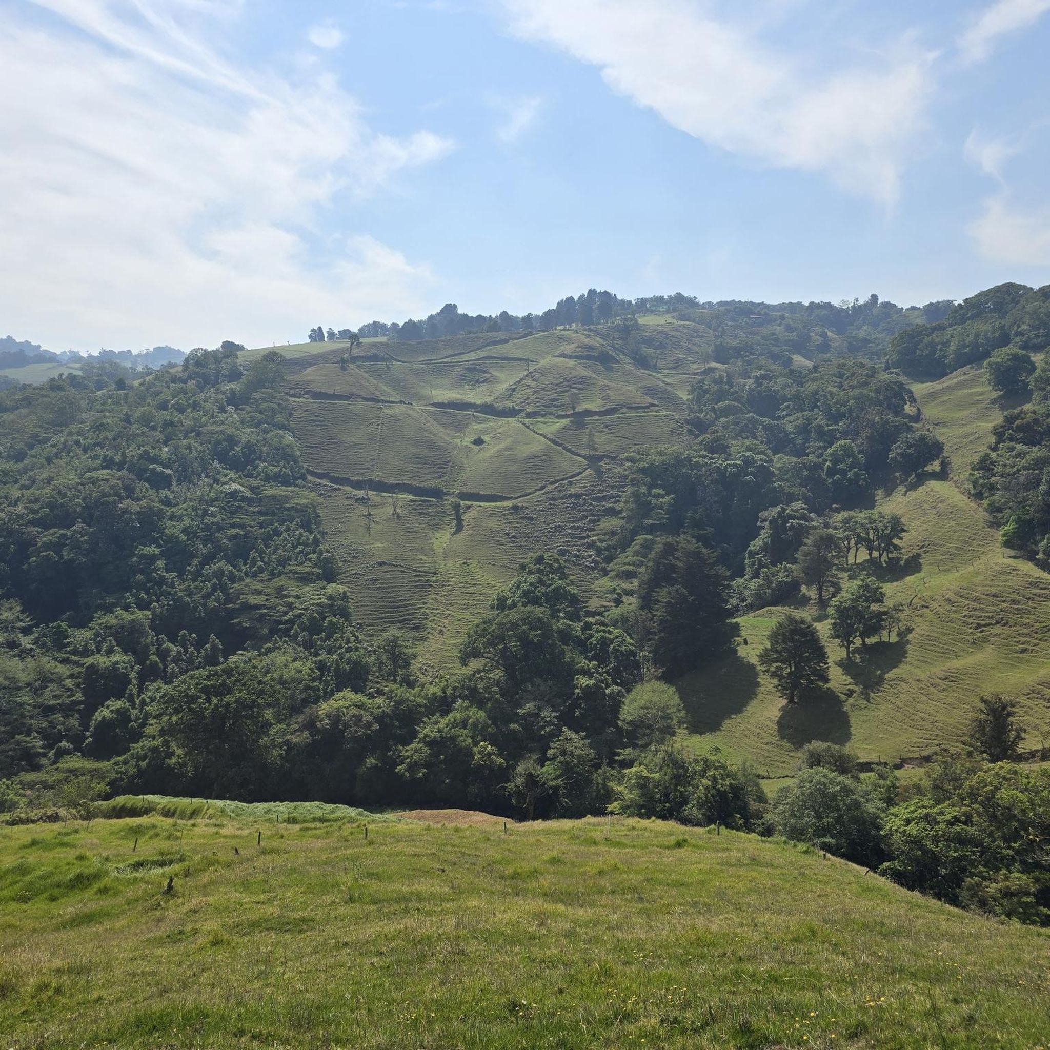
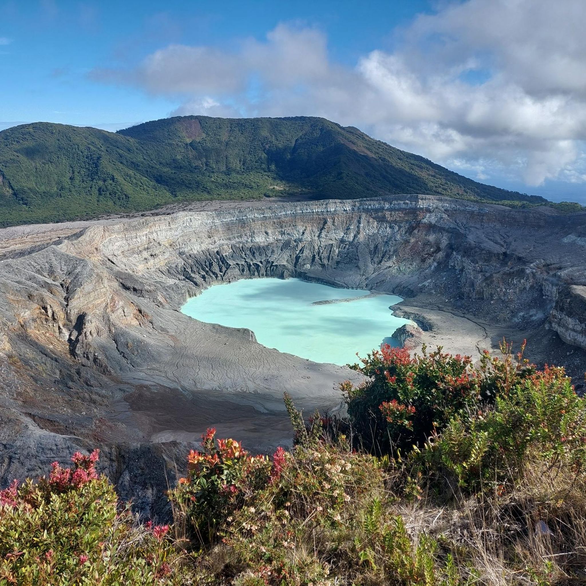
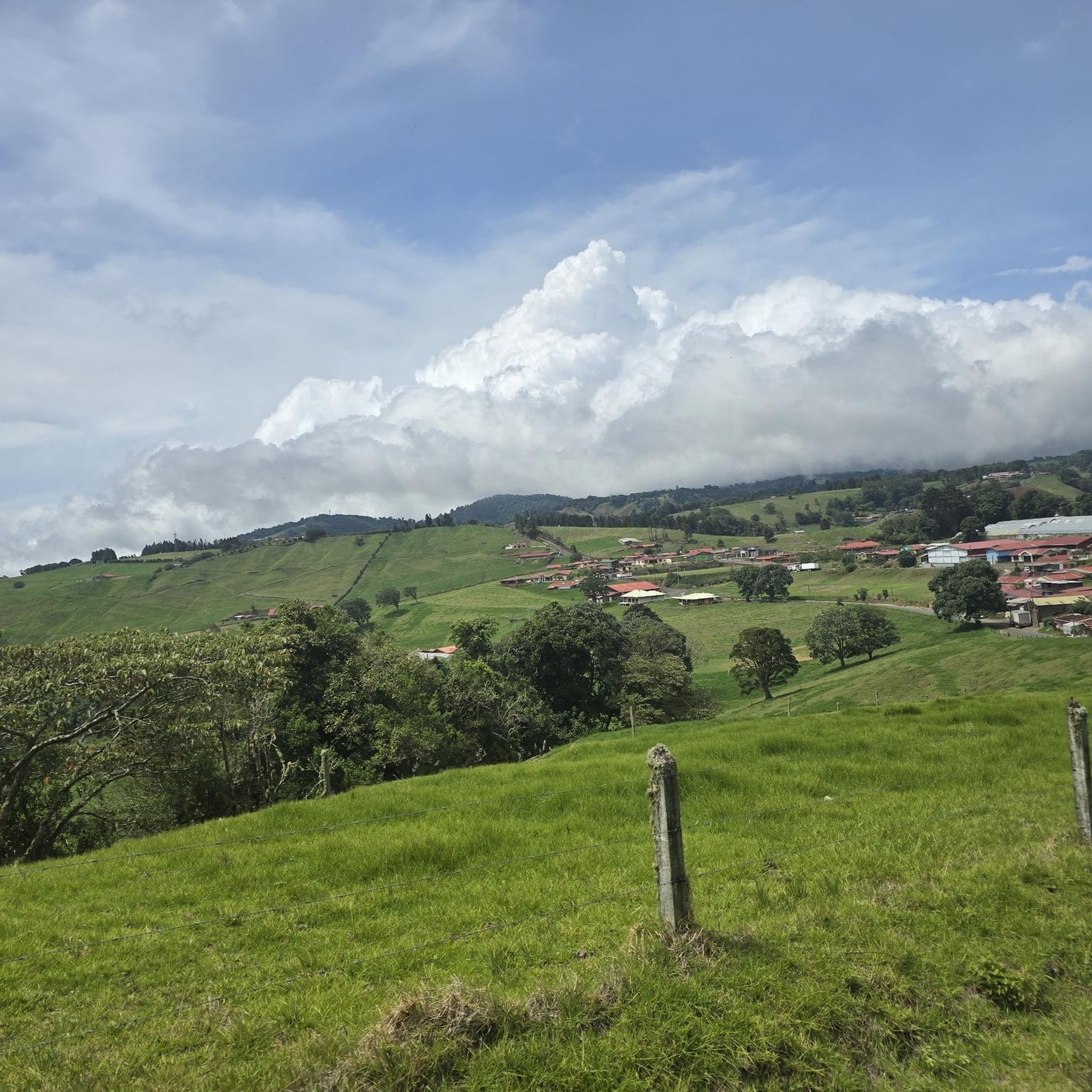
Mountain biking in Zarcero, Costa Rica, offers diverse terrain within the Central Mountain Range, characterized by an elevated location and a cool climate. The region features rolling green hills, extensive coffee plantations, and areas of lush cloud forest. This mountainous landscape provides varied elevation changes, making it suitable for different fitness and skill levels of mountain bikers.
Best mountain bike trails in Zarcero
- The most popular mountain bike trail is San Ramón – San Ramón Nonato Parish loop from Naranjo,…
Last updated: August 12, 2026
5.0
(2)
13
riders
39.0km
02:49
800m
800m
Moderate mountain bike ride. Good fitness required. Suitable for all skill levels.
11
riders
37km
03:30
1,300m
1,300m
Hard mountain bike ride. Very good fitness required. Suitable for all skill levels.

Sign up for free
7
riders
28.0km
02:28
880m
880m
Moderate mountain bike ride. Good fitness required. Suitable for all skill levels.
3
riders
26.5km
02:03
670m
670m
Moderate mountain bike ride. Good fitness required. Suitable for all skill levels.
5.0
(1)
3
riders
34.5km
02:31
750m
750m
Moderate mountain bike ride. Good fitness required. Suitable for all skill levels.
4
riders
48.7km
04:03
1,230m
1,230m
Hard mountain bike ride. Very good fitness required. Suitable for all skill levels.
4
riders
61.8km
04:18
1,130m
1,130m
Hard mountain bike ride. Very good fitness required. Suitable for all skill levels.
5
riders
25.5km
01:41
390m
380m
Moderate mountain bike ride. Good fitness required. Suitable for all skill levels.
3
riders
33.9km
02:39
830m
840m
Moderate mountain bike ride. Good fitness required. Suitable for all skill levels.
1
riders
20.5km
01:29
430m
430m
Moderate mountain bike ride. Good fitness required. Suitable for all skill levels.
Our route recommendations are based on thousands of hikes, rides, and runs completed by other people on komoot.
Start today with a free account
Your next adventure awaits.
Login or Signup



Tips from the Community

Fences are electrified, it is not meant for everyone, although you can always walk. Views are spectacular
0
0
It is a short trail in very good condition for both MTB and Gravel bikes
0
0

Plenty of water or moisturizer as it is quite hot
0
0
Street parallel to the highway, state only for MTB
0
0
Frequently Asked Questions
What kind of terrain can I expect when mountain biking in Zarcero?
Zarcero, nestled in Costa Rica's Central Mountain Range, offers diverse terrain. You'll encounter rolling green hills, extensive coffee plantations, and sections of lush cloud forest. The elevated location provides a cool climate and varied elevation changes, making for engaging rides.
Are there mountain bike trails suitable for beginners in Zarcero?
While Zarcero's trails generally cater to moderate to difficult skill levels, some routes offer more manageable elevation gains. For instance, the Mountainbike loop from Grecia is a moderate 25.5 km ride that takes about 1 hour 40 minutes, providing a good option for those building their skills.
Where can I find challenging mountain bike routes in Zarcero?
For experienced riders seeking a challenge, Zarcero has several difficult routes with significant elevation changes. Consider the Waterfall Trail – View of Calle la Brisa loop from Palmira, a 37.0 km route with substantial climbs, or the longer Embalse San Lorenzo loop from Paja de Agua, which spans 64.2 km.
Are there any mountain bike trails that feature waterfalls or natural pools?
Yes, the region around Zarcero is known for its stunning natural features. The Waterfall Trail – View of Calle la Brisa loop from Palmira is specifically named for its views of natural features, and the wider area, including Bajos del Toro, is renowned for waterfalls like Catarata del Toro and turquoise natural pools.
What is the best time of year to go mountain biking in Zarcero?
Zarcero is in a very rainy area, contributing to its always blooming and green surroundings. The cool, brisk climate due to its elevation makes it pleasant for riding year-round, but it's always wise to check local weather forecasts for rain, especially during the wet season, to ensure optimal trail conditions.
Are there any circular mountain bike routes in Zarcero?
Yes, many of the mountain bike trails in Zarcero are designed as loops, allowing you to start and finish at the same point. Examples include the San Ramón – San Ramón Nonato Parish loop from Naranjo (39.2 km) and the Calle Tres Hermanos Trail loop from Zarcero (28.0 km).
What are some notable landmarks or attractions near the mountain bike trails in Zarcero?
Beyond the trails, Zarcero is famous for its unique Parque Francisco Alvarado, known for its meticulously sculpted topiary gardens. The impressive Iglesia de San Rafael Arcángel, with its distinctive pink and blue architecture, stands behind the gardens. These cultural landmarks offer a charming start or end to your outdoor adventure.
What do other mountain bikers say about the trails in Zarcero?
The mountain bike routes in Zarcero are highly rated by the komoot community, with an average score of 4.9 stars from over 8 reviews. More than 70 mountain bikers have used komoot to explore Zarcero's varied terrain, often praising the scenic rural landscapes, coffee farms, and challenging elevation changes.
Can I expect to see coffee plantations along the mountain bike routes?
Absolutely. Zarcero is characterized by its surrounding coffee plantations, and many routes navigate directly through these picturesque agricultural landscapes. The San Ramón – San Ramón Nonato Parish loop from Naranjo is a prime example, guiding you through rural areas and coffee farms.
Are there any long-distance mountain bike routes in the Zarcero area?
Yes, for those looking for longer rides, Zarcero offers routes that extend for several hours. The Embalse San Lorenzo loop from Paja de Agua is a difficult 64.2 km trail, typically taking around 4 hours 30 minutes to complete, providing a substantial challenge.
What kind of wildlife might I encounter while mountain biking in Zarcero?
While specific wildlife sightings can vary, Zarcero's cloud forests and lush environments are home to diverse flora and fauna. The nearby Juan Castro Blanco National Park, for instance, is known for its rivers teeming with trout, suggesting a rich natural ecosystem where you might spot various bird species and other forest inhabitants.
Are there options for mountain biking near reservoirs or lakes in the Zarcero region?
Yes, some routes in the broader Zarcero area incorporate reservoirs. For example, the Embalse Chocosuela 2 loop from Quesada is a moderate 26.6 km ride that takes you near the Embalse Chocosuela, offering scenic views of the water body.
Most popular routes in Zarcero

Get inspired with the komoot mobile app


Didn’t find what you were looking for?
Check out more MTB trails throughout Zarcero below and find the perfect route in your destination.
Explore more
Browse the best MTB trails in other regions.
