The best walks and hikes in San Carlos
4.5
(1095)
14,072
hikers
66
hikes
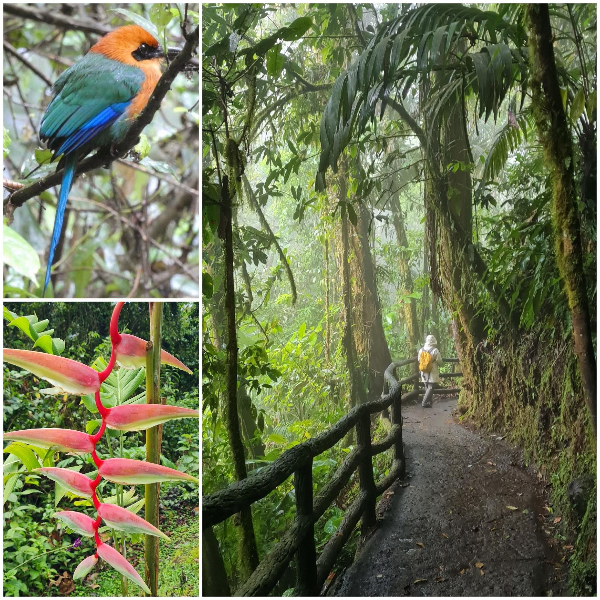
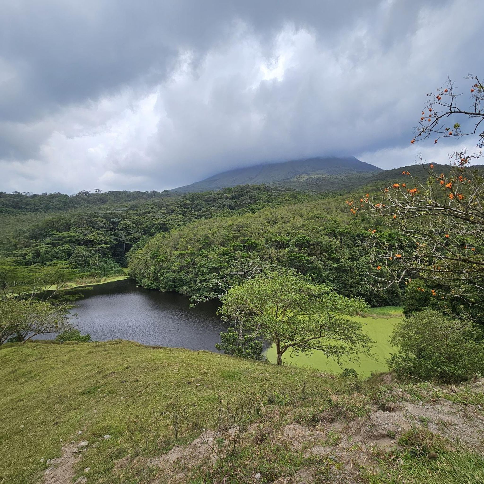
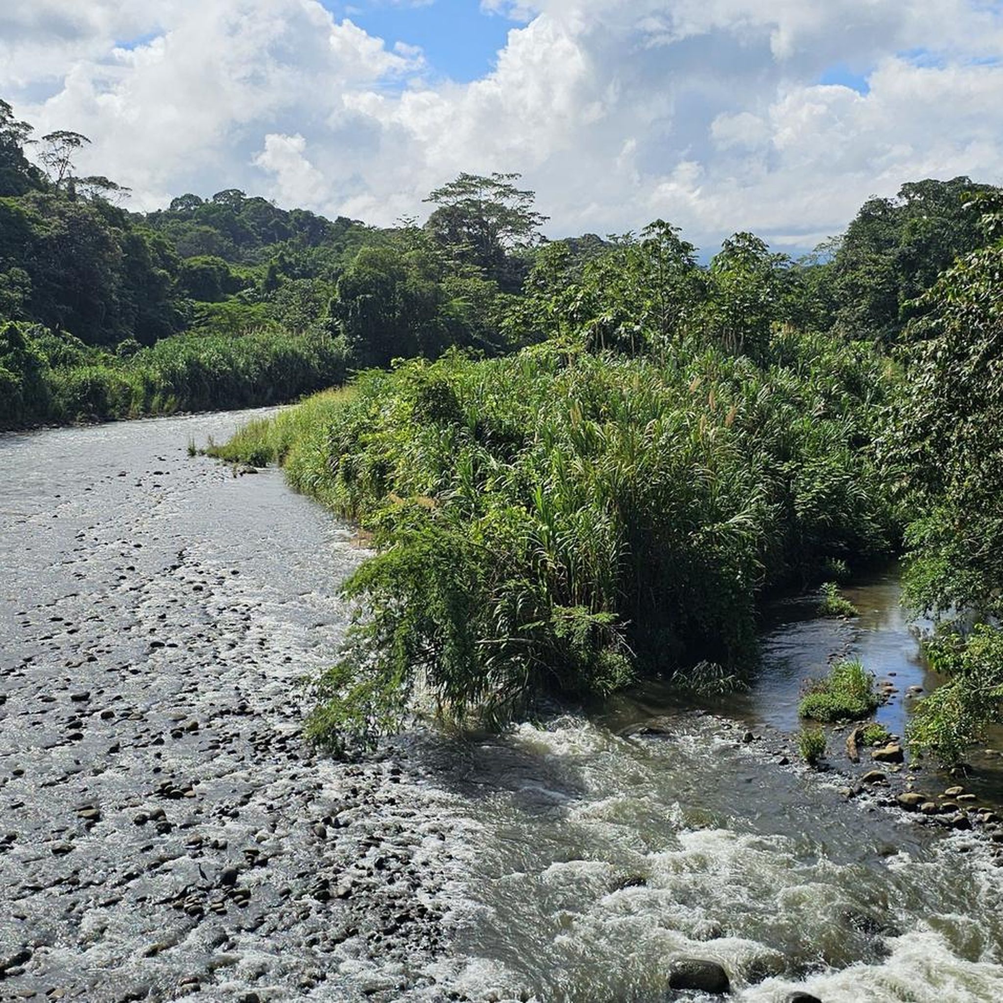
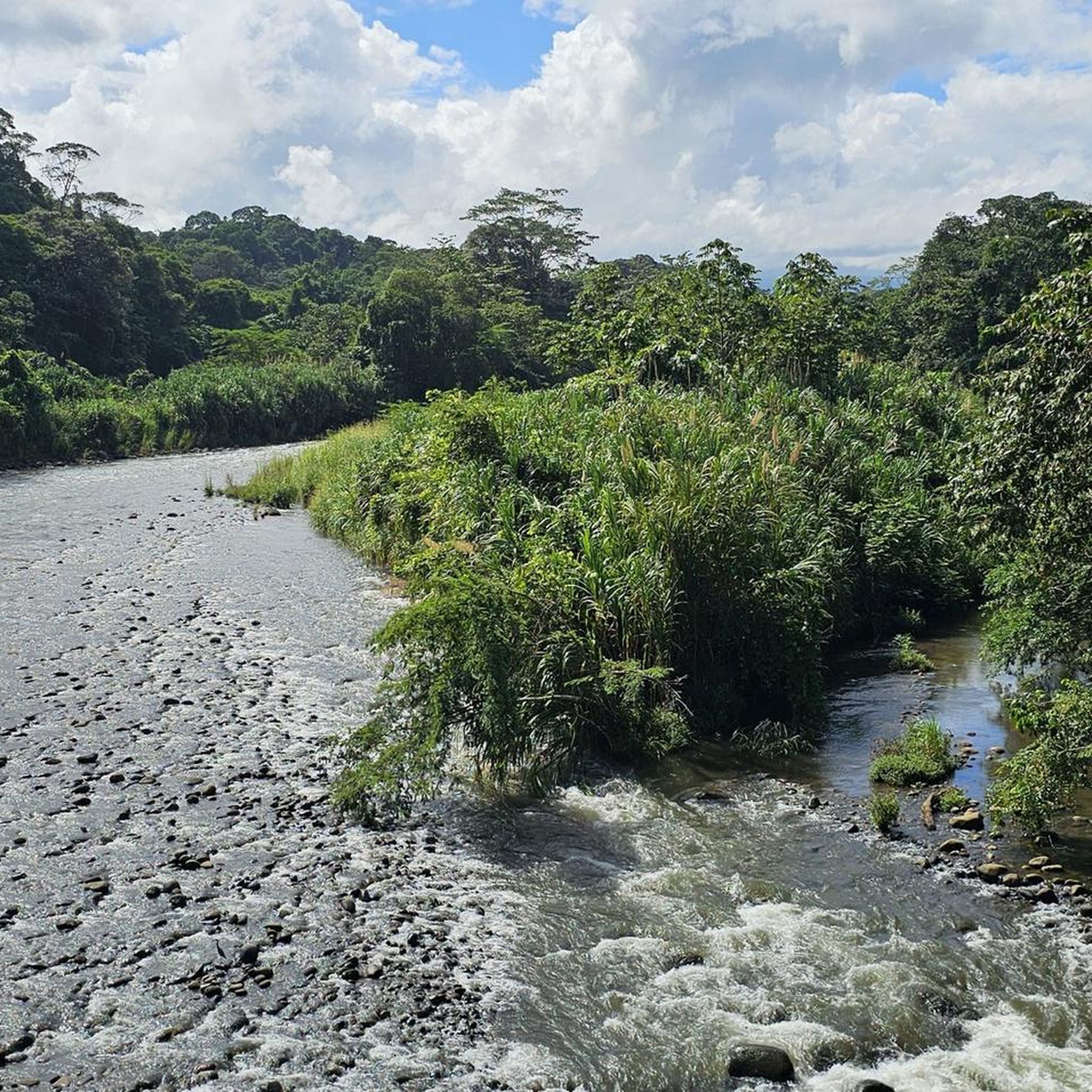
Hiking in San Carlos, Alajuela, is characterized by its volcanic landscapes, lush rainforests, and abundant waterfalls. The region's terrain features a mix of gentle paths around lakes and more challenging ascents near the Arenal Volcano. Hikers can explore diverse ecosystems, from dense tropical vegetation to open areas offering views of the iconic volcano. The area is rich in natural water features, including rivers and crater lakes.
Best hiking trails in San Carlos
- The most popular hiking route is Arenal Hanging…
Last updated: July 29, 2026
4.5
(126)
2,039
hikers
Moderate hike. Great for any fitness level. Mostly accessible paths. Sure-footedness required.
4.8
(101)
2,171
hikers
Easy hike. Great for any fitness level. Easily-accessible paths. Suitable for all skill levels.

Sign up for free
4.7
(105)
1,443
hikers
Easy hike. Great for any fitness level. Easily-accessible paths. Suitable for all skill levels.
4.7
(81)
1,048
hikers
5.68km
01:42
180m
180m
Easy hike. Great for any fitness level. Easily-accessible paths. Suitable for all skill levels.
4.3
(28)
541
hikers
11.4km
03:03
120m
120m
Moderate hike. Good fitness required. Easily-accessible paths. Suitable for all skill levels.
4.6
(38)
306
hikers
6.27km
03:11
610m
610m
Moderate hike. Good fitness required. Mostly accessible paths. Sure-footedness required.
4.2
(24)
402
hikers
Easy hike. Great for any fitness level. Easily-accessible paths. Suitable for all skill levels.
4.6
(30)
165
hikers
7.45km
02:06
130m
140m
Moderate hike. Good fitness required. Mostly accessible paths. Sure-footedness required.
4.8
(14)
273
hikers
Easy hike. Great for any fitness level. Easily-accessible paths. Suitable for all skill levels.
4.6
(24)
120
hikers
16.9km
06:16
890m
890m
Hard hike. Very good fitness required. Mostly accessible paths. Sure-footedness required.
Get access to more routes and recommendations from other explorers.
Sign up for free
Already have an account?
Our route recommendations are based on thousands of hikes, rides, and runs completed by other people on komoot.
Start today with a free account
Your next adventure awaits.
Login or Signup



Tips from the Community

Currently, not all 6 suspension bridges are accessible. You can still do the circular tour, but you have to accept some ascents and descents. A little stamina is required And always good advice: water and possibly rain protection The wildlife frogs, snakes, etc. are included with good observation...
0
0
The detour to this (small, but nice) waterfall can be reached in about 4 minutes. If you add some time for taking pictures, you will be back at the suspension bridge in just over 10 minutes of pure walking time. For my taste, a worthwhile detour 👍
0
0

A visit to the suspension bridges in Mistic Park is worthwhile in any weather.
1
0

Very nice hiking trail through the national park area 1968
0
0

Depending on the rainy season, you can find a small waterfall here.
0
0
beautiful eucalyptus trees along the roadside.
0
0

There are a total of six suspension bridges. The longest is 100 meters long, and the highest is over 50 meters high. Absolutely worth walking.
0
0

There are about 500 steps down to the waterfall.
0
0
Frequently Asked Questions
How many hiking trails are available in San Carlos?
San Carlos offers a wide variety of hiking experiences, with over 65 routes to explore. These range from easy strolls to more challenging ascents, catering to different skill levels.
What kind of landscapes can I expect to see while hiking in San Carlos?
Hiking in San Carlos, Alajuela, is defined by its dramatic volcanic landscapes, lush rainforests, and numerous waterfalls. You'll encounter diverse ecosystems, from dense tropical vegetation to open areas offering breathtaking views of the iconic Arenal Volcano. The region is also rich in natural water features, including rivers and crater lakes.
Are there any easy hiking trails suitable for families or beginners?
Yes, San Carlos has plenty of easy options. For a gentle introduction, consider the Arenal Hanging Bridge – Morpho Azul Waterfall loop from Sangregado Lodge. This 2.2-mile route features hanging bridges and a beautiful waterfall, making it a popular choice for an easy, scenic walk.
Where can I find trails with views of the Arenal Volcano?
Many trails offer stunning vistas of the Arenal Volcano. A great option is the Arenal Volcano – Cherro Chato Tree loop from Zeta 13, a moderate 4.2-mile path that winds through forested areas with excellent volcano views. Another highly-rated route is the Arenal Volcano Rocky Trail – View of Arenal Volcano loop from Policía Turística, which covers 4.4 miles through rocky terrain.
Are there any challenging hikes in San Carlos?
For those seeking a more strenuous adventure, San Carlos offers a few difficult routes. The La Fortuna Church – Cerro Chato Crater Lake loop from La Fortuna is a challenging 10.3-mile trail with significant elevation gain, leading to the stunning Cerro Chato Crater Lake.
Can I find trails that feature waterfalls?
Absolutely! Waterfalls are a prominent feature of the San Carlos landscape. Besides the Morpho Azul Waterfall mentioned earlier, you can explore the Río Dante Waterfall – Danta Bridge loop from Arenal Volcano National Park, a moderate 4.6-mile route that takes you past the beautiful Río Dante Waterfall.
What do other hikers say about the trails in San Carlos?
The trails in San Carlos are highly regarded by the komoot community, boasting an impressive average rating of 4.5 stars from over 830 reviews. Hikers frequently praise the diverse landscapes, the stunning views of Arenal Volcano, and the abundance of natural features like waterfalls and crater lakes.
Are there any circular hiking routes available?
Yes, many trails in San Carlos are designed as loops, offering varied scenery without retracing your steps. Examples include the Arenal Volcano Rocky Trail – Los Patos Lake loop from Arenal 1968, an easy 2.9-mile loop, and the Cerro Chato Crater Lake loop from Entrance Rio Fortuna Waterfall, a moderate 3.9-mile option.
What are some interesting natural attractions or landmarks to see near the hiking trails?
Beyond the trails themselves, San Carlos is home to several captivating natural attractions. You can visit the Mistico Arenal Hanging Bridges Park for a unique perspective of the rainforest canopy, or marvel at the powerful La Fortuna Waterfall. The region also features several beautiful lakes, such as Cerro Chato Crater Lake and Green Lake.
Are there any trails that lead to lakes or offer lake views?
Yes, several trails provide access to or views of the region's beautiful lakes. The View of Arenal Volcano – Green Lake loop from Cascajo's del Arenal is an easy 3.5-mile route that offers both volcano views and glimpses of Green Lake. Another option is the Arenal Lake Viewpoint loop from Zeta 13, an easy 2-mile trail with scenic views of Arenal Lake.
Most popular routes in San Carlos
Most popular attractions in San Carlos

Get inspired with the komoot mobile app


Didn’t find what you were looking for?
Check out more Hikes throughout San Carlos below and find the perfect route in your destination.
Explore more
Browse the best Hikes in other regions.
