The best road cycling routes in Naranjo
4.8
(10)
712
riders
40
rides
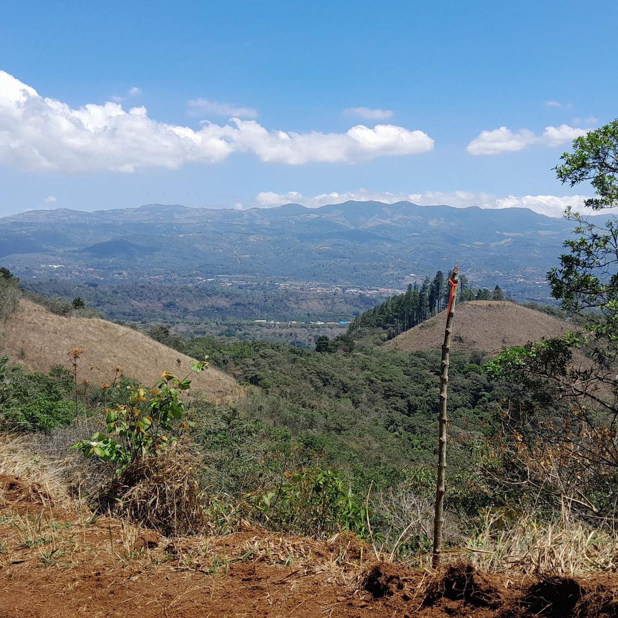
Road cycling routes in Naranjo, Costa Rica, traverse a landscape characterized by rolling mountains and fertile river valleys within the Central Valley of Alajuela province. The region features extensive coffee plantations that create a scenic backdrop for rides. Cyclists encounter varied topography, with elevations around 3,398 feet (1,036 meters) contributing to a consistently cool climate. The area's natural beauty is enhanced by rivers such as the Grande Colorado, Molino, and Barranca.
Best road cycling routes in Naranjo
- The most popular…
Last updated: May 23, 2026
37
riders
91.4km
05:28
2,310m
2,310m
Hard road ride. Very good fitness required. Mostly well-paved surfaces and easy to ride.
31
riders
32.0km
01:51
610m
610m
Moderate road ride. Good fitness required. Some segments of this route may be unpaved and difficult to ride.

Sign up for free
27
riders
98.6km
05:31
2,010m
2,010m
Hard road ride. Very good fitness required. Mostly well-paved surfaces and easy to ride.
14
riders
40.2km
02:17
850m
850m
Moderate road ride. Good fitness required. Mostly well-paved surfaces and easy to ride.
12
riders
65.8km
03:41
1,350m
1,350m
Hard road ride. Very good fitness required. Some segments of this route may be unpaved and difficult to ride.
8
riders
42.1km
02:46
1,020m
1,020m
Hard road ride. Very good fitness required. Mostly well-paved surfaces and easy to ride.
5
riders
29.4km
01:47
780m
780m
Moderate road ride. Good fitness required. Mostly well-paved surfaces and easy to ride.
5
riders
15.2km
00:53
330m
330m
Moderate road ride. Good fitness required. Mostly well-paved surfaces and easy to ride.
Get access to more routes and recommendations from other explorers.
Sign up for free
Already have an account?
Our route recommendations are based on thousands of hikes, rides, and runs completed by other people on komoot.
Start today with a free account
Your next adventure awaits.
Login or Signup
Popular around Naranjo



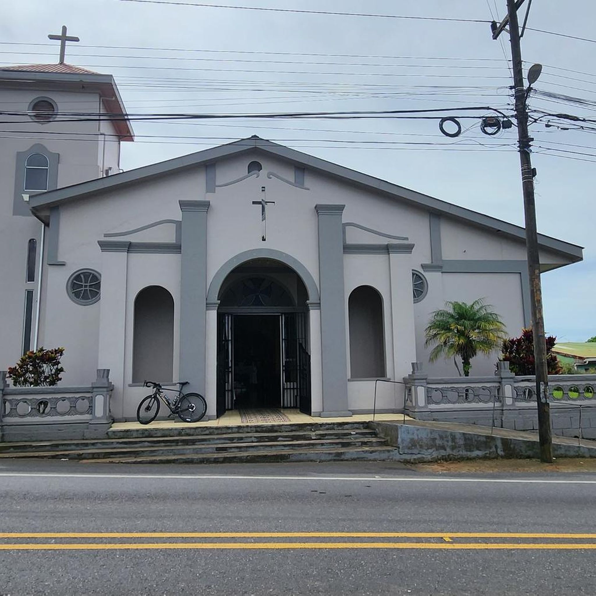


Tips from the Community

The best climate in the world Original 🇨🇷🇨🇷
0
0
Frequently Asked Questions
How many road cycling routes are available in Naranjo?
Naranjo offers a diverse selection of over 40 road cycling routes. These routes cater to various skill levels, ranging from moderate to difficult, and are highly rated by the komoot community.
What is the typical terrain and difficulty for road cycling in Naranjo?
The terrain in Naranjo is characterized by rolling mountains and lush coffee plantations within the Central Valley of Alajuela province. Cyclists can expect varied topography with significant elevation changes, contributing to challenging yet rewarding rides. The routes include 17 moderate and 23 difficult options, with only one easy route available.
Are there any routes suitable for beginners or those looking for an easier ride?
While Naranjo is known for its challenging terrain, there is one easy road cycling route available. Additionally, there are 17 moderate routes that offer a less strenuous experience compared to the more difficult climbs, allowing riders to enjoy the scenic coffee farms and rolling hills.
What kind of views or landmarks can I expect to see while cycling in Naranjo?
Road cycling in Naranjo offers breathtaking views of emerald green coffee plantations, panoramic mountain vistas, and fertile river valleys. The region's elevation, around 3,398 feet (1,036 meters), provides a consistently cool climate and stunning backdrops for your rides. You'll experience the natural beauty enhanced by rivers like the Grande Colorado, Molino, and Barranca.
What do other road cyclists enjoy most about cycling in Naranjo?
The komoot community highly rates the road cycling experience in Naranjo, with an average score of 4.8 stars from numerous reviews. Cyclists frequently praise the region's varied terrain, the stunning scenery of coffee plantations and mountain views, and the challenging yet rewarding climbs.
Are there any loop routes for road cycling in the Naranjo area?
Yes, Naranjo features several excellent loop routes. For instance, the Roadbike loop from Naranjo is a popular 24.9-mile (40.0 km) option that takes you through rolling hills and coffee farms. Another challenging loop is the Roadbike loop from Palmares, covering 61.0 miles (98.2 km) with significant climbs and panoramic views.
What is the best time of year for road cycling in Naranjo?
Naranjo's elevation contributes to a consistently cool and pleasant climate, making it suitable for cycling throughout much of the year. However, for optimal conditions, consider the dry season (typically December to April) when rainfall is minimal, ensuring clearer roads and more comfortable riding temperatures.
Are there any cafes or places to stop for refreshments along the road cycling routes?
The Naranjo region, known for its coffee plantations, offers opportunities to find local cafes and eateries. While specific establishments are not listed in the route details, the presence of towns and agricultural areas suggests that cyclists can find places to refuel and enjoy local refreshments, especially in and around Naranjo and Palmares.
What are some of the longer and more challenging road cycling routes in Naranjo?
For experienced cyclists seeking a challenge, routes like El Alto – Higuito, San Mateo loop from Palmares stand out. This difficult route spans 57.0 miles (91.7 km) with significant elevation gain. Another demanding option is the Roadbike loop from Palmares, a 61.0-mile (98.2 km) path featuring challenging climbs and panoramic views.
Is public transport or parking available near the road cycling routes in Naranjo?
While specific parking and public transport details for individual trailheads are not provided, Naranjo is a town in the Central Valley of Costa Rica. It is generally accessible by local buses, and parking facilities would typically be available within the towns and villages where routes often start or pass through, such as Palmares or Naranjo itself.
Can I find routes with significant elevation gain in Naranjo?
Absolutely. Naranjo's mountainous terrain means many road cycling routes feature substantial elevation gain. For example, the El Alto – Higuito, San Mateo loop from Palmares includes over 2,300 meters of ascent, making it a challenging option for those looking to test their climbing abilities.
Are there any specific routes that showcase the coffee plantations?
Many routes in Naranjo traverse the region's extensive coffee plantations. The Roadbike loop from Naranjo is a great example, leading directly through rolling hills and coffee farms, offering an immersive experience of the local agricultural landscape.

Get inspired with the komoot mobile app


Didn’t find what you were looking for?
Check out more Road cycling routes throughout Naranjo below and find the perfect route in your destination.
Explore more
Browse the best Road cycling routes in other regions.
