The best road cycling routes around Gutenstetten
4.6
(448)
3,875
riders
289
rides
Road cycling around Gutenstetten offers diverse landscapes characterized by gentle hills, extensive forests, and river valleys. The region features routes that often follow the Aisch, Ehebach, and Weisach rivers, providing stretches with minimal inclines. While many paths are relatively flat, some routes incorporate sporty climbs and demanding ascents, offering varied terrain for different skill levels. Cyclists can expect mostly paved surfaces, passing through pond landscapes and orchards.
Best road cycling routes around Gutenstetten
- The most popular road cycling route is…
Last updated: May 20, 2026
12
riders
Moderate road ride. Great for any fitness level. Some segments of this route may be unpaved and difficult to ride.
5.0
(1)
14
riders
73.5km
02:56
290m
300m
Moderate road ride. Good fitness required. Mostly well-paved surfaces and easy to ride.

Sign up for free
5.0
(1)
7
riders
40.1km
01:41
230m
230m
Easy road ride. Great for any fitness level. Mostly well-paved surfaces and easy to ride.
8
riders
39.2km
01:42
270m
270m
Easy road ride. Great for any fitness level. Mostly well-paved surfaces and easy to ride.
5.0
(5)
8
riders
39.2km
01:42
310m
310m
Moderate road ride. Good fitness required. Mostly well-paved surfaces and easy to ride.
Get access to more routes and recommendations from other explorers.
Sign up for free
Already have an account?
Our route recommendations are based on thousands of hikes, rides, and runs completed by other people on komoot.
Start today with a free account
Your next adventure awaits.
Login or Signup
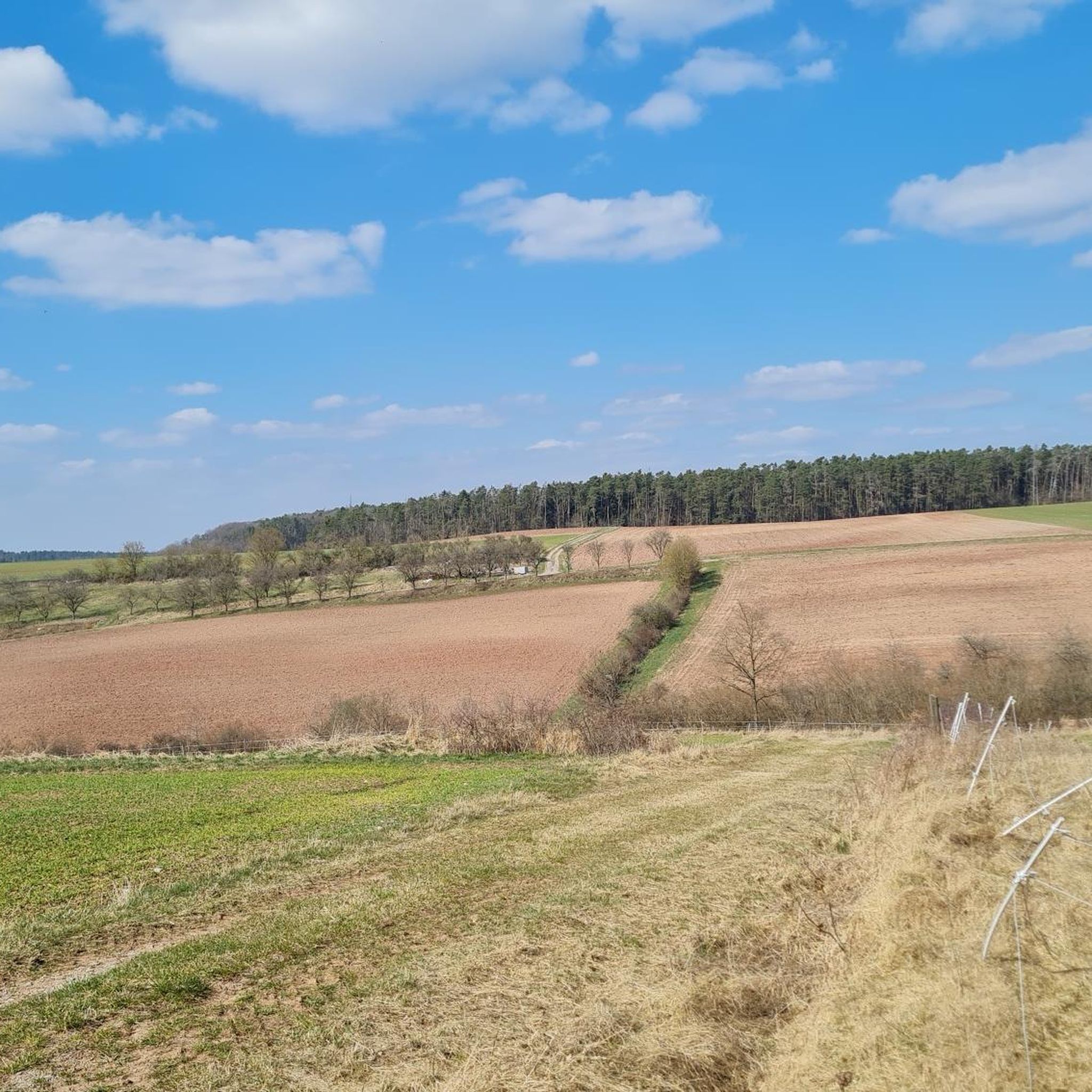
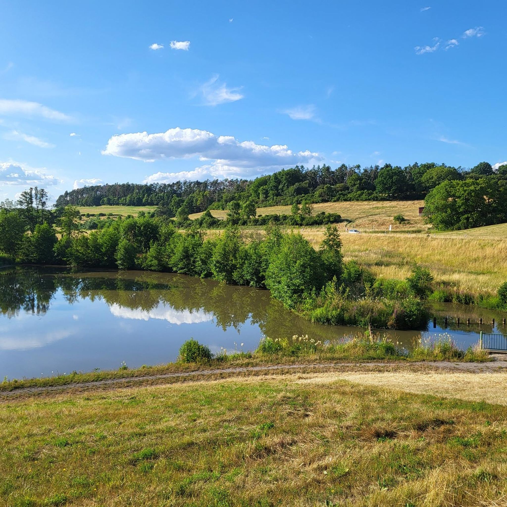
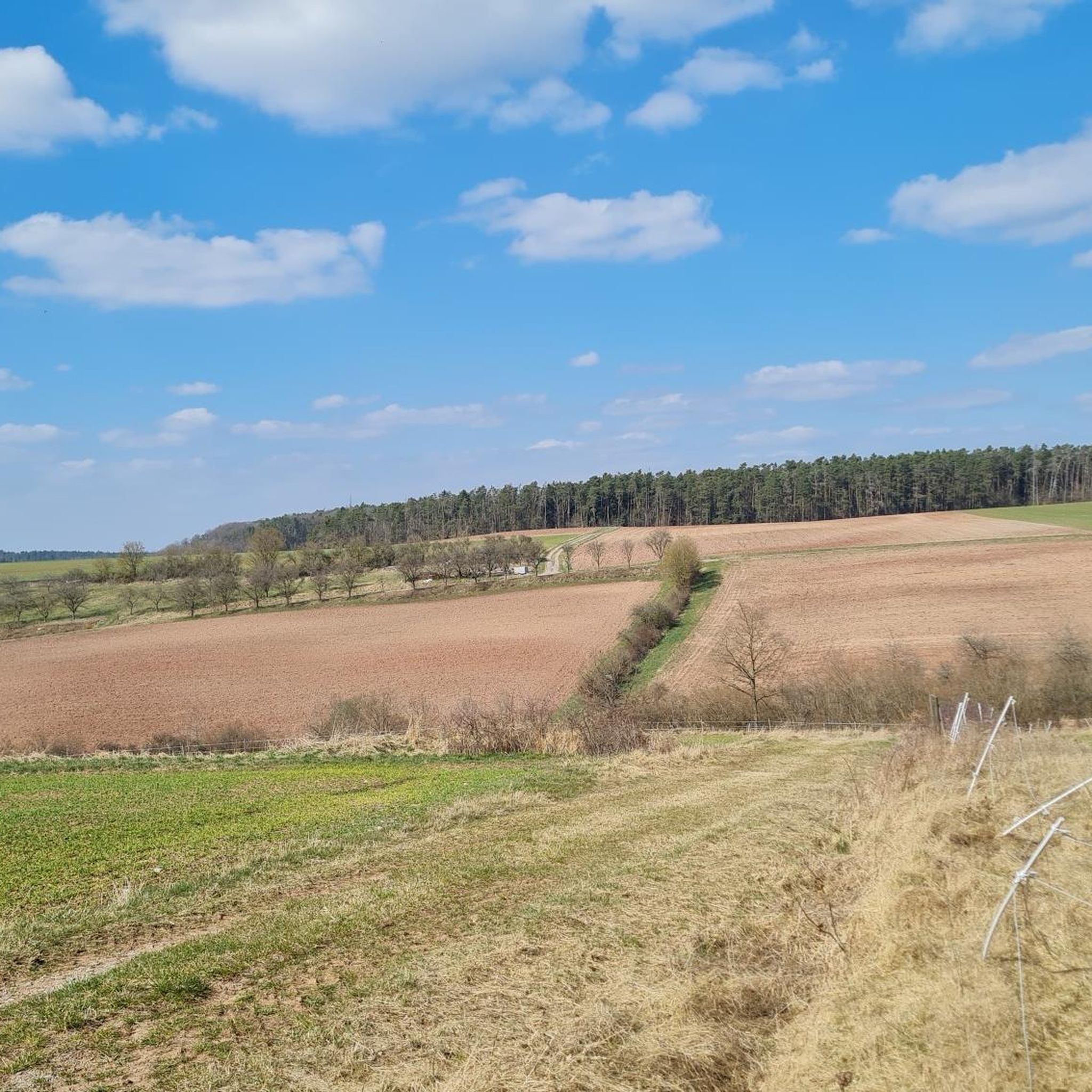
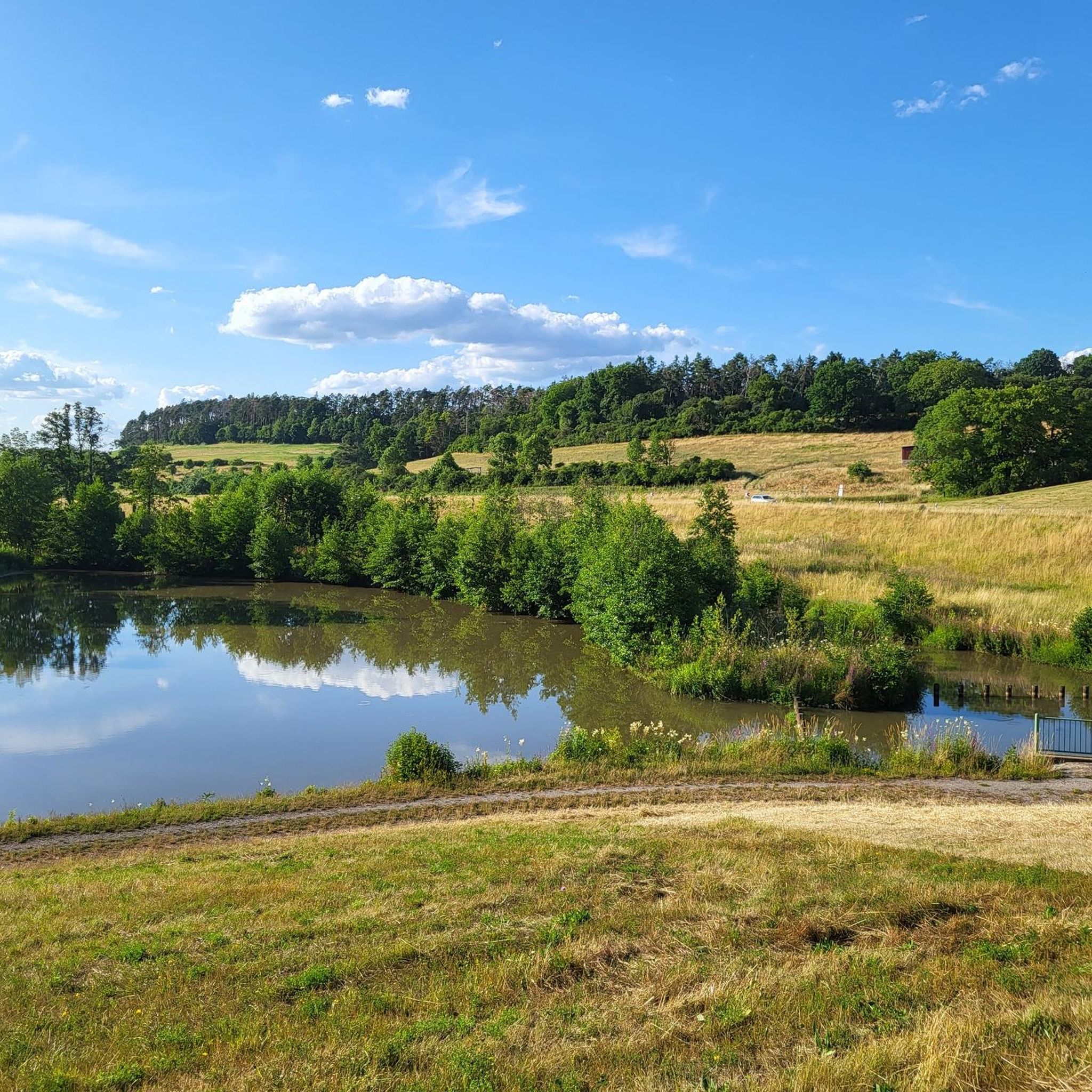

Tips from the Community

A wonderful place for a picnic
0
0

Beautiful path, also suitable for road bikes.
0
0

Flood levels receded in February 2026.
0
0

Beautiful, fast and quiet country road.
1
0

“Beware of storks flying low” says it all.
0
0

Worth seeing, quiet side road from Voggendorf to Gottesgab.
1
0

The Dachsbach stream is first documented in 1129 – a knight named Heinrich von Dahspach sold one of his properties to the St. Michael's Monastery in Bamberg for 80 silver marks. The place name derives from a watercourse of the same name, the prefix of which may be dahs (Middle High German for "dachs"). Accordingly, it could have referred to a stream where badgers are found.[7] The town's coat of arms also refers to this meaning.
1
0

It's sensational how many storks you can see here
1
0
Frequently Asked Questions
How many road cycling routes are available around Gutenstetten?
There are over 290 road cycling routes around Gutenstetten, offering a wide variety of options for different skill levels and preferences. The komoot community has explored more than 3,700 of these routes.
What kind of terrain can I expect on road cycling routes in Gutenstetten?
The region around Gutenstetten offers diverse terrain. You'll find routes with gentle hills, extensive forests, and picturesque river valleys along the Aisch, Ehebach, and Weisach rivers, which often feature long stretches with hardly any inclines. However, there are also routes with sporty climbs and demanding ascents, such as those leading to Burg Hoheneck, providing a mix for both leisurely rides and challenging training sessions. Most surfaces are paved, ideal for road bikes.
Are there easy road cycling routes suitable for beginners in Gutenstetten?
Yes, Gutenstetten offers a good selection of easy road cycling routes, with 71 routes categorized as easy. These often follow the river valleys, providing relatively flat terrain. An example of an easy route is the Lower Gatehouse Uehlfeld – Gottesgab Fish Ponds loop from Gutenstetten, which takes you through scenic pond landscapes.
Are there challenging road cycling routes for advanced cyclists near Gutenstetten?
For advanced cyclists seeking a challenge, Gutenstetten has 23 difficult routes. These routes incorporate more significant climbs and demanding ascents, such as those found on the Aischgründer GenussRadweg, which can feature gradients up to 18%. The Zeisenbronner Berg Climb – Roßbacher Landstraße loop from Münchsteinach offers a moderate challenge with over 300 meters of elevation gain.
Are there family-friendly road cycling routes in Gutenstetten?
Many of the routes along the river valleys, particularly those with minimal inclines, are suitable for families. The region's focus on well-developed cycling infrastructure and scenic, less demanding paths makes it a great choice for family outings. Look for routes categorized as 'easy' for the most family-friendly options.
Can I find scenic road cycling routes with good views around Gutenstetten?
Absolutely. Gutenstetten is known for its picturesque landscapes. Cyclists can enjoy views of unique pond landscapes, extensive orchards, and the alternation of dense deciduous forests, meadows, and fields. Routes like the Roßbacher Landstraße – Baudenbach–Stübach Scenic Road loop from Münchsteinach offer beautiful rural scenery. You can also find panoramic views from elevated points like Burg Hoheneck.
Are there loop road cycling routes in Gutenstetten?
Yes, many road cycling routes around Gutenstetten are designed as loops, allowing you to start and end at the same point. Examples include the Pahres B470 Underpass – Middle Gate (Sugenheim) loop from Münchsteinach, a longer route covering diverse terrain, and the Pahres B470 Underpass – Uehlfeld Stork Village loop from Münchsteinach.
What attractions and cultural highlights can I see along the road cycling routes?
Beyond natural beauty, you can encounter various cultural and historical points of interest. Routes pass through charming villages and historic old towns. Notable attractions include the 18th-century Weißenstein Castle and the 14th-century St. Laurentius Church in Gutenstetten. The Aischgründer GenussRadweg leads past Burg Hoheneck. You might also find interesting highlights like the Birdwatching Hut at Uehlfeld Stork Trail or the Aischgründer Carp Hut.
Are there opportunities for coffee stops or refreshments along the routes?
The region is known for its strong brewing tradition, especially along routes like the Aischgründer Bierrunde. You'll find numerous breweries and traditional Franconian inns (Gasthäuser) and beer gardens, perfect for a refreshing stop. Gutenstetten itself is home to the Windsheimer brewery, with its beer available at the 'Radlertreff' inn.
What do other road cyclists enjoy the most about road cycling in Gutenstetten?
The area is highly rated by the komoot community, with an average score of 4.6 stars from over 440 reviews. Cyclists often praise the diverse landscapes, ranging from flat river paths to challenging climbs, and the mostly paved surfaces suitable for road bikes. The scenic views of ponds, orchards, and forests, combined with charming villages and cultural stops, are frequently highlighted.
What is the typical length of road cycling routes in Gutenstetten?
Route lengths vary significantly to accommodate all preferences. You can find shorter routes, such as the Roßbacher Landstraße – Baudenbach–Stübach Scenic Road loop from Münchsteinach, which is about 23 km (14.5 miles). Longer routes, like the Pahres B470 Underpass – Middle Gate (Sugenheim) loop from Münchsteinach, can extend to 73.6 km (45.7 miles), offering options for both quick rides and full-day adventures.
Most popular routes around Gutenstetten
Most popular attractions around Gutenstetten

Get inspired with the komoot mobile app


Explore more
Browse the best Road cycling routes in other regions.
