The best walks and hikes in Baja California
4.6
(28)
209
hikers
15
hikes
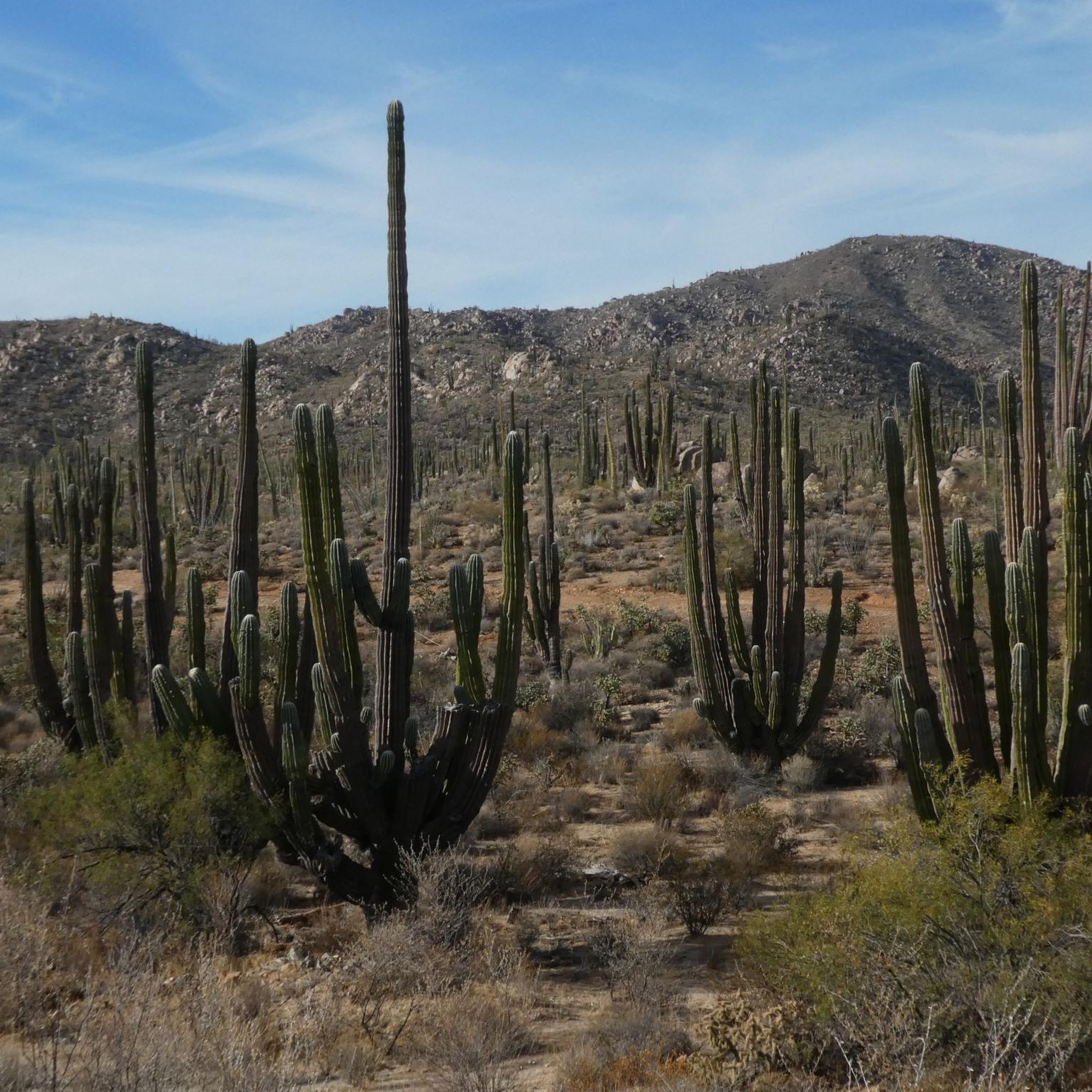
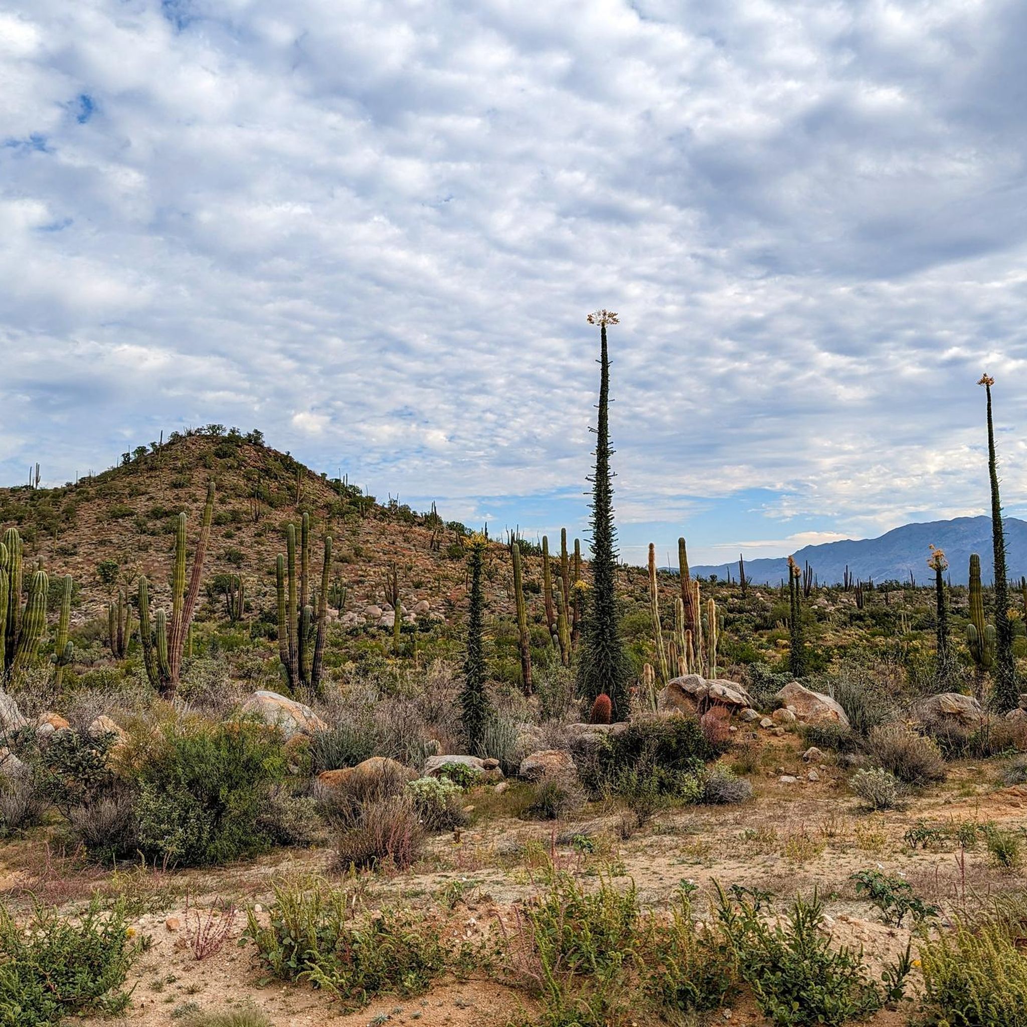
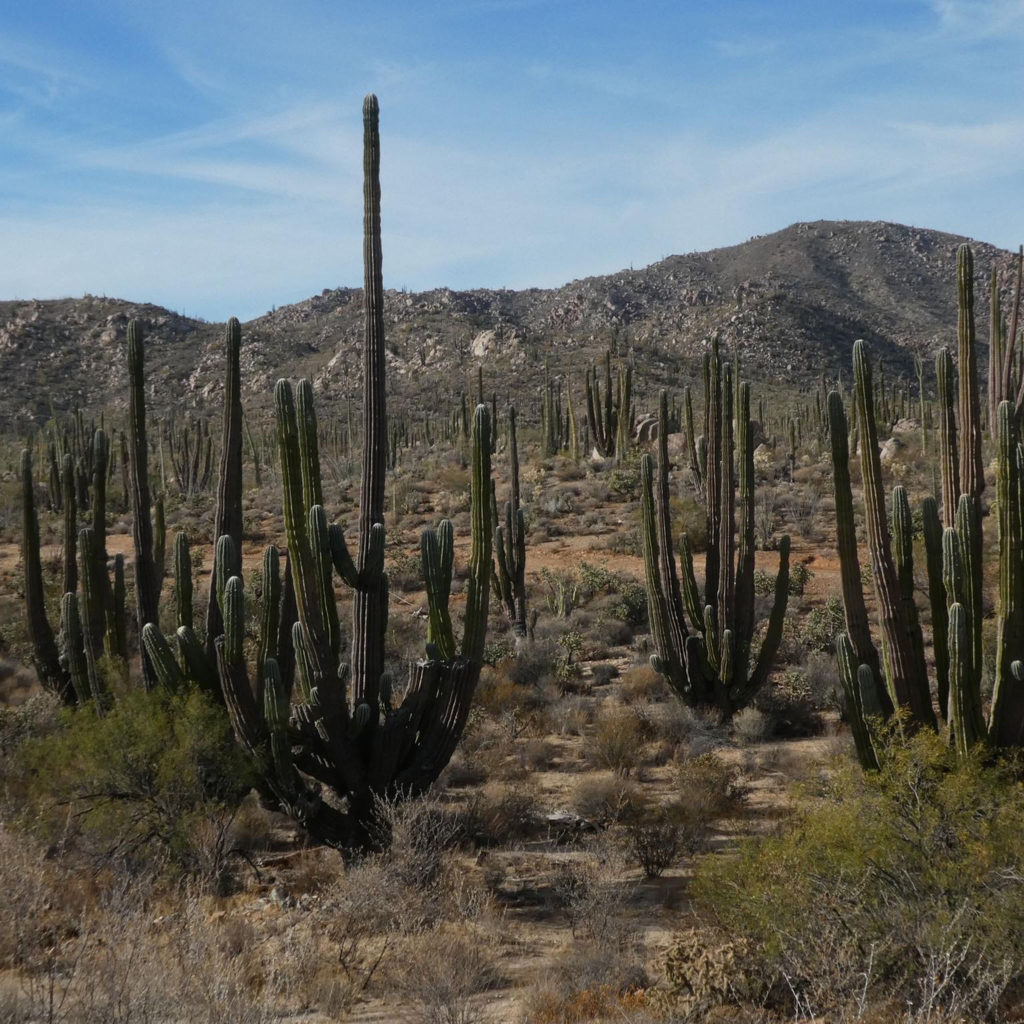
Hiking in Baja California offers diverse landscapes where arid desert meets the Pacific Ocean and the Sea of Cortez. The region features rugged mountain ranges, extensive desert vistas, and dramatic seaside cliffs. Hikers can explore trails winding through cactus-covered expanses, leading to secluded beaches, and revealing hidden oases with lush palm groves and waterfalls. This varied terrain provides a range of experiences from coastal walks to mountain ascents.
Best hiking trails in Baja California
- The most popular hiking route is…
Last updated: July 21, 2026
5.0
(1)
2
hikers
3.66km
01:00
10m
140m
Hike the easy 2.3-mile Pacific Crest Trail: Southern Terminus through Campo, gaining 41 feet in 1 hour, starting at the iconic monument.
5.0
(4)
18
hikers
11.3km
03:26
370m
370m
Moderate hike. Good fitness required. Easily-accessible paths. Suitable for all skill levels.

Sign up for free
9
hikers
4.16km
01:07
50m
50m
Hike the easy 2.6-mile Circular a Lomas Campestre – Tijuana trail, gaining 169 feet in 1 hour and 7 minutes through urban green spaces.
5.0
(1)
4
hikers
9.51km
02:26
40m
40m
The Tijuana Boardwalk, also known as the Malecón in Playas de Tijuana, offers a distinct coastal hiking experience where the Pacific Ocean meets a unique cultural landmark. You'll walk along…
5.0
(1)
4
hikers
9.04km
02:19
30m
30m
Embark on the Paseo Costero Trail for a moderate hike that blends coastal beauty with dense Patagonian forests. This route stretches 5.6 miles (9.0 km) and involves a gentle elevation…
2
hikers
24.2km
07:20
770m
770m
Hike the challenging 15.1-mile Circular de Rancho Casian a Mesa Redonda loop in Baja California, gaining 2517 feet with ocean views.
2.48km
00:38
10m
10m
Embark on an easy hike through the Paseo por el Parque de la Amistad, a family-friendly recreational park perfect for a leisurely stroll. This route covers 1.5 miles (2.5 km)…
Explore the Circular del sendero UABC (Universidad Autónoma de Baja California) — Tijuana, an easy loop trail perfect for a quick outdoor escape. This route winds through the urban green…
4.3
(4)
17
hikers
4.17km
01:12
100m
100m
Easy hike. Great for any fitness level. Easily-accessible paths. Suitable for all skill levels.
5.0
(2)
18
hikers
7.08km
02:48
300m
300m
Moderate hike. Good fitness required. Mostly accessible paths. Sure-footedness required.
Get access to more routes and recommendations from other explorers.
Sign up for free
Already have an account?
Our route recommendations are based on thousands of hikes, rides, and runs completed by other people on komoot.
Start today with a free account
Your next adventure awaits.
Login or Signup
Popular around Baja California






Tips from the Community

This trail is located on the campus of the Autonomous University of Baja California. The dirt track near the international airport has an exercise circuit and is very popular.
1
0
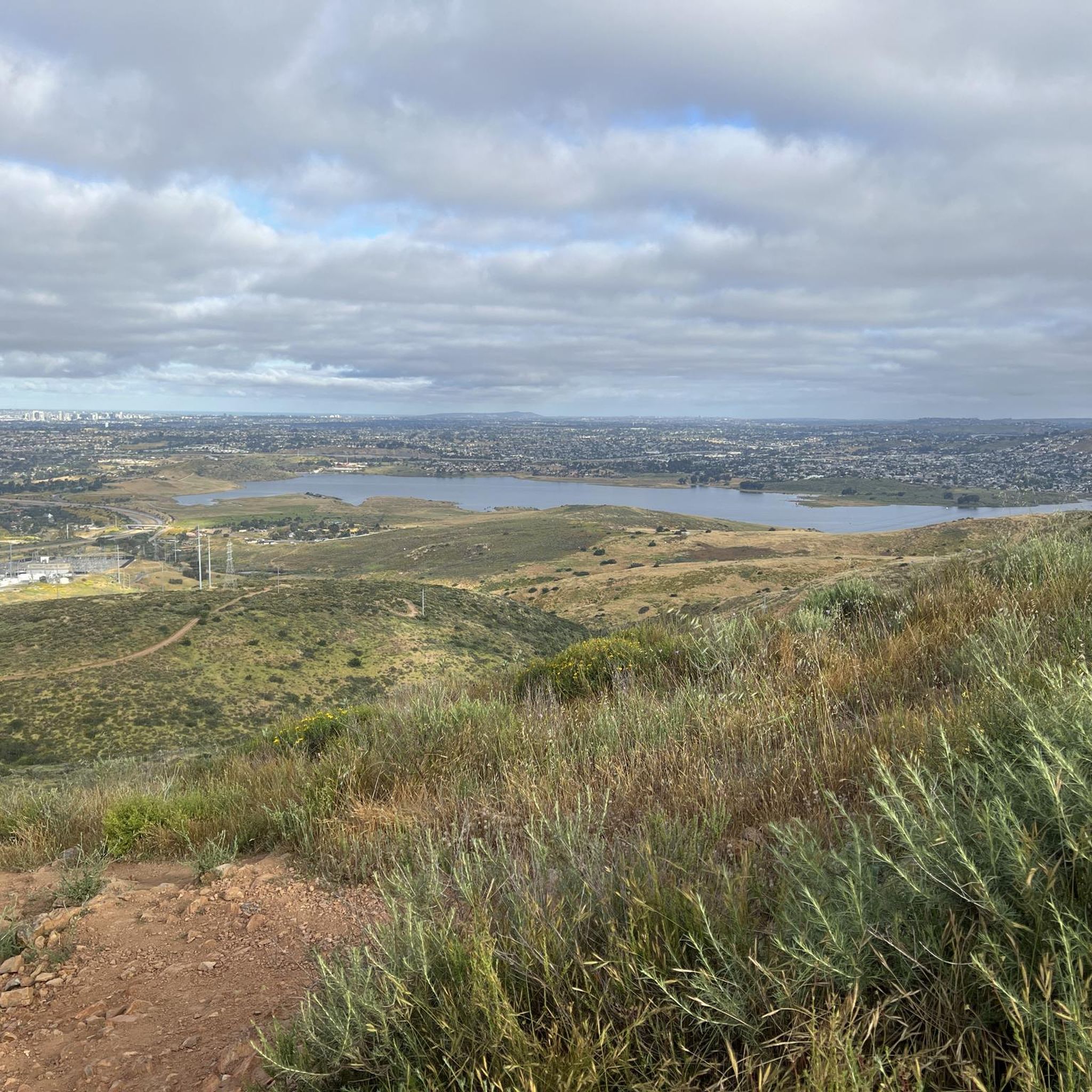
The summit of Mesa Redonda is a flat plateau on the outskirts of Tijuana, known as La Meseta, near the ejido of the same name. It is accessed by informal 10- to 12-kilometer round-trip trails from arid areas dotted with ranches and canyons. It offers sweeping panoramic views of the Pacific Ocean and the city.
0
0
This fork in the road leads you to a bench in the middle of nowhere from where you can enjoy the views.
0
0


It is a large and open leisure area, with well-maintained pedestrian zones and green spaces where you can stroll calmly or go out to play sports.
0
1

In the middle of Friendship Park lies this pretty little lake. You can sit by the water or walk along the path that loops around it.
0
0
Friendship Park is a lovely place for a city stroll. The circuit around the lake covers 1.5 kilometers.
0
0
This beach is incredibly wide, allowing you to walk for quite a while. Admire the waves and enjoy this unique Baja California atmosphere.
0
1
Frequently Asked Questions
How many hiking trails are available in Baja California?
Baja California offers a diverse network of over 15 hiking trails, catering to various skill levels. You'll find everything from easy coastal walks to more challenging mountain ascents.
What types of landscapes can I expect to see while hiking in Baja California?
Baja California is unique for its dramatic meeting of desert and sea. Hikers can explore arid desert landscapes with abundant cacti, rugged mountain ranges like the Sierra de la Laguna, breathtaking seaside cliffs, and pristine beaches. Many trails also lead to hidden oases with lush palm groves and even waterfalls.
Are there any easy hiking trails suitable for beginners or casual walkers?
Yes, Baja California has several easy trails perfect for beginners or those looking for a relaxed walk. For example, the Pacific Crest Trail: Southern Terminus through Campo is an easy 2.3-mile path, and the Hipódromo Loop offers a pleasant 2.6-mile stroll.
Where can I find challenging hikes in Baja California?
For experienced hikers seeking a challenge, the region offers routes like the Rancho Casian to Mesa Redonda Loop. This difficult 15-mile trail features significant elevation changes and provides expansive views, including those from Mesa Redonda, a flat plateau offering panoramic vistas of the Pacific Ocean and Tijuana.
Are there any family-friendly hiking options in Baja California?
Many of the easier trails are suitable for families. Consider paths that are shorter in duration and have minimal elevation gain. The Paseo por el parque de la Amistad is a short, easy walk, ideal for a family outing.
What are some interesting landmarks or attractions I can see near the hiking trails?
Along your hikes, you can discover several points of interest. The Pacific Crest Trail Southern Terminus is a notable starting point for a famous long-distance trail. Further afield, you might explore historical sites like the San Borja Mission or enjoy stunning views from La Banquita viewpoint.
Are there any loop hikes available in Baja California?
Yes, several trails offer a convenient loop format. The Hipódromo Loop is an easy option, while the more challenging Rancho Casian to Mesa Redonda Loop provides a longer, more strenuous circular route. Another option is the Parking lot of Parque Ciempés loop from Progreso.
What is the best time of year to go hiking in Baja California?
Baja California enjoys warm weather and sunny skies for much of the year, making it an ideal outdoor destination. The cooler months from late fall to early spring (roughly November to April) are generally preferred for hiking to avoid the intense summer heat, especially in desert areas.
What should I wear when hiking in Baja California?
Given the desert and coastal environments, it's best to wear lightweight, breathable clothing, a wide-brimmed hat, and sunglasses. Sturdy hiking shoes are essential for varied terrain. Always carry plenty of water, as many trails can be exposed to the sun with limited shade. Sunscreen is also highly recommended.
What do other hikers enjoy most about the trails in Baja California?
The hiking trails in Baja California are highly rated by the komoot community, with an average score of 4.7 stars. Reviewers often praise the unique juxtaposition of desert and ocean landscapes, the variety of terrain, and the opportunity to experience diverse ecosystems from coastal paths to mountain views.
Are there any trails that offer views of the Pacific Ocean or the Sea of Cortez?
Absolutely. Many trails in Baja California provide stunning coastal views. The Tijuana Boardwalk offers a pleasant walk along the Pacific coast. Further south, areas like Punta Lobos near Todos Santos are known for spectacular cliff-top viewpoints overlooking the Pacific, where whales can often be spotted during migration seasons.
Can I find trails with waterfalls or oases in Baja California?
Yes, despite its arid reputation, Baja California is home to hidden oases and canyons that feature lush palm groves and even waterfalls. Fox Canyon (Cañon de la Zorra) near Santiago is a prime example, offering tranquil trails and refreshing swimming spots within a desert canyon environment.
Most popular routes in Baja California
Most popular attractions in Baja California

Get inspired with the komoot mobile app


Didn’t find what you were looking for?
Check out more Hikes throughout Baja California below and find the perfect route in your destination.
Explore more
Browse the best Hikes in other regions.
