The best walks and hikes in Cartago
4.7
(342)
2,742
hikers
27
hikes
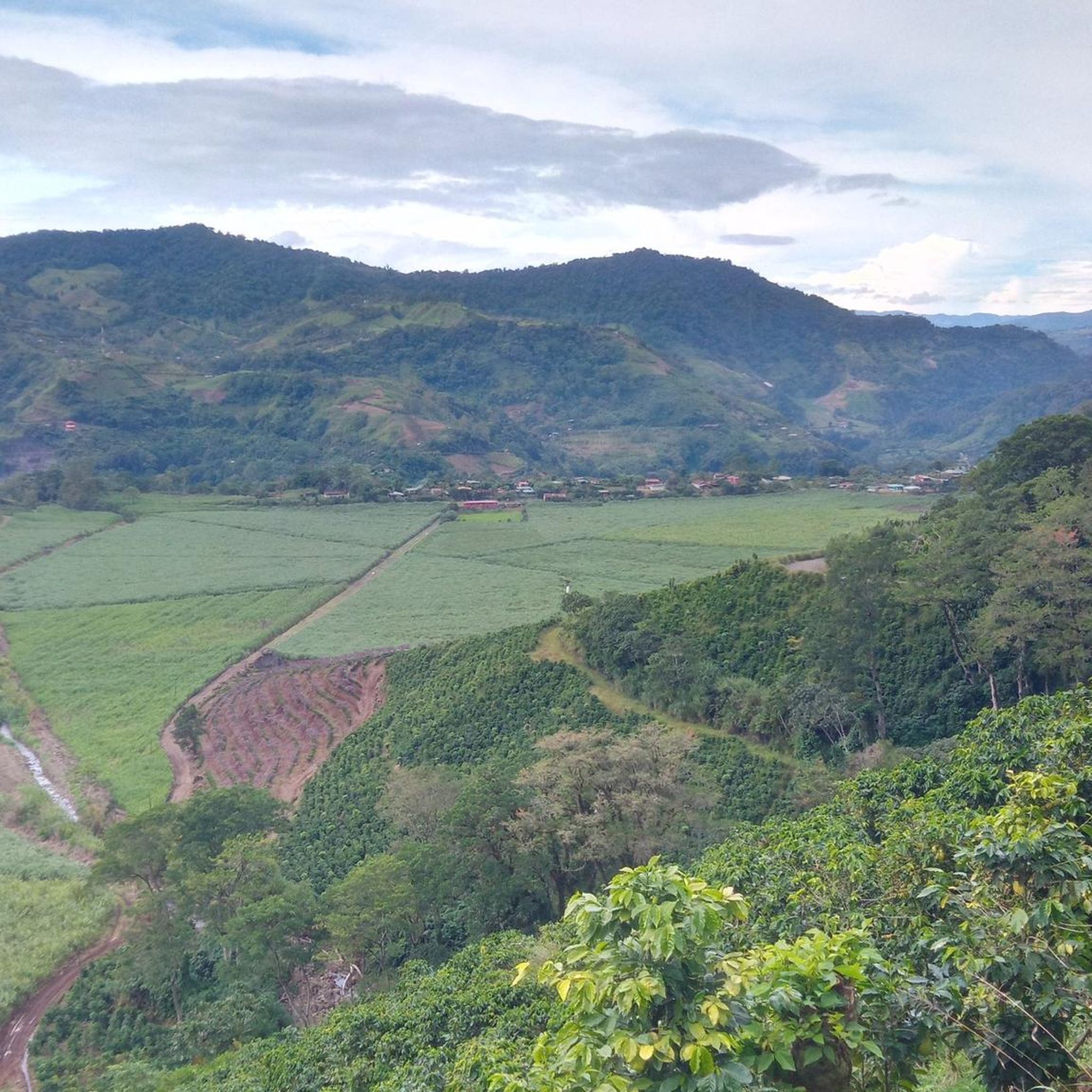
Hiking in Cartago offers diverse landscapes, characterized by prominent volcanic terrains, lush national parks, and significant elevation changes. The region features active and dormant volcanoes like Irazú and Turrialba, alongside dense cloud forests and paramo landscapes. Numerous rivers and waterfalls contribute to the verdant environment, providing varied terrain for outdoor exploration.
Best hiking trails in Cartago
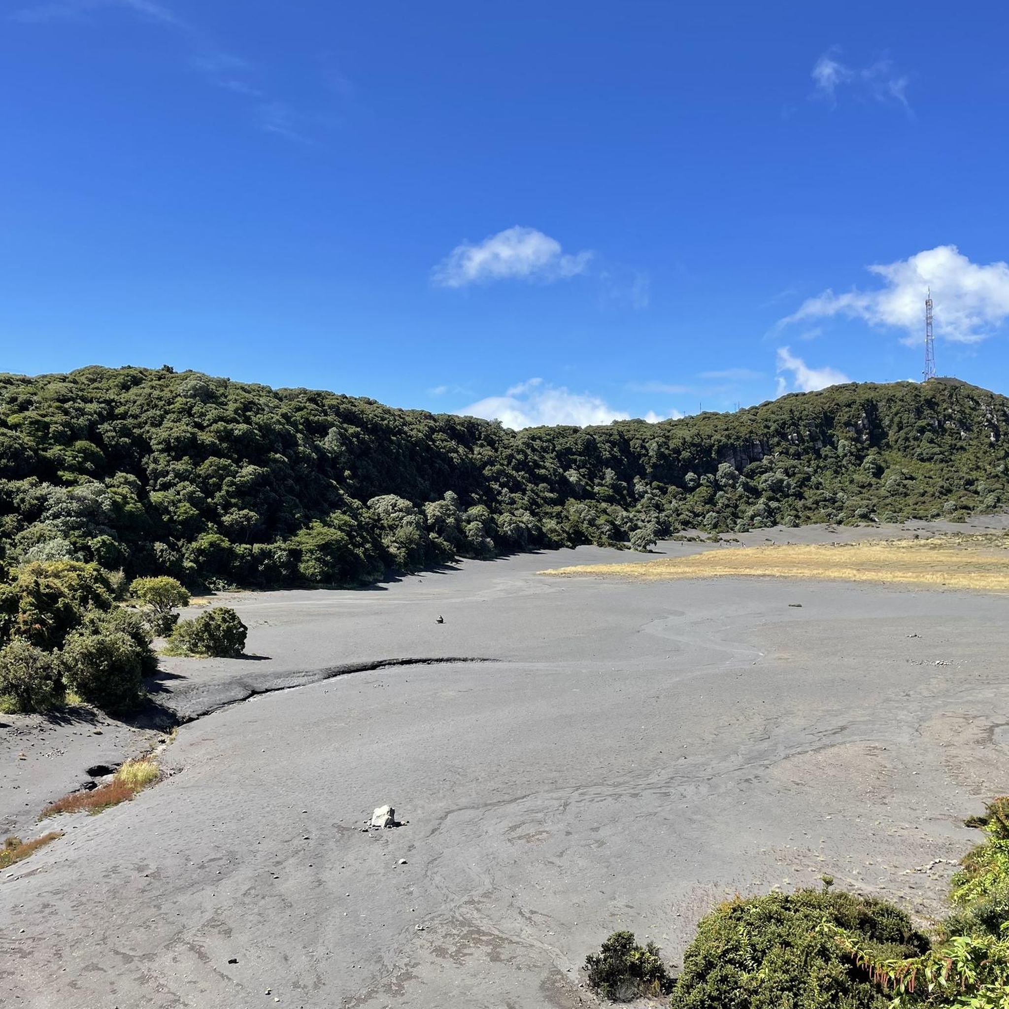
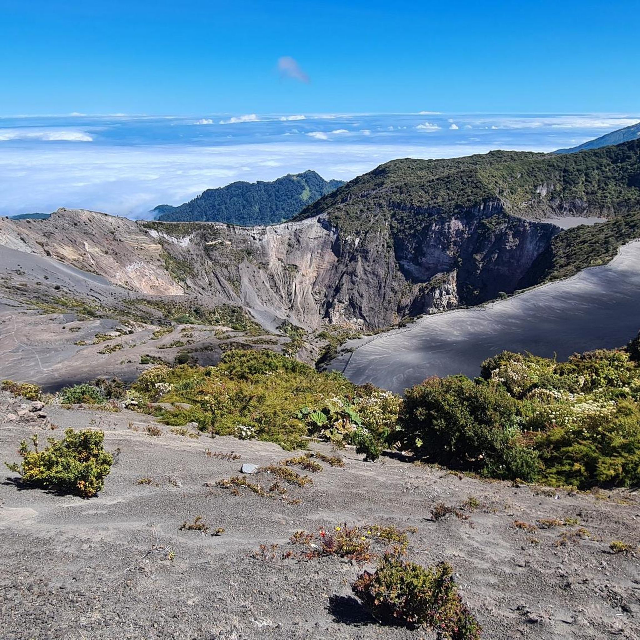
- The most popular hiking route is Main Crater of Irazú Volcano – View of Irazú Volcano Crater loop from Irazú Volcano National Park,…
Last updated: July 29, 2026
4.5
(27)
250
hikers
Easy hike. Great for any fitness level. Easily-accessible paths. Suitable for all skill levels.
5.0
(5)
124
hikers
17.1km
05:50
780m
780m
Hard hike. Very good fitness required. Mostly accessible paths. Sure-footedness required.

Sign up for free
4.8
(6)
70
hikers
6.89km
02:49
570m
570m
Moderate hike. Good fitness required. Easily-accessible paths. Suitable for all skill levels.
4.9
(8)
78
hikers
6.96km
02:30
320m
320m
Moderate hike. Good fitness required. Mostly accessible paths. Sure-footedness required.
4.7
(12)
76
hikers
5.35km
01:55
290m
300m
Easy hike. Great for any fitness level. Easily-accessible paths. Suitable for all skill levels.
4.2
(5)
61
hikers
Moderate hike. Good fitness required. Mostly accessible paths. Sure-footedness required.
4.2
(5)
57
hikers
Moderate hike. Great for any fitness level. Mostly accessible paths. Sure-footedness required.
9
hikers
7.58km
02:12
200m
210m
Moderate hike. Good fitness required. Easily-accessible paths. Suitable for all skill levels.
5.0
(4)
23
hikers
2.61km
01:08
230m
230m
Easy hike. Great for any fitness level. Easily-accessible paths. Suitable for all skill levels.
10
hikers
9.35km
03:07
430m
430m
Moderate hike. Good fitness required. Easily-accessible paths. Suitable for all skill levels.
Get access to more routes and recommendations from other explorers.
Sign up for free
Already have an account?
Our route recommendations are based on thousands of hikes, rides, and runs completed by other people on komoot.
Start today with a free account
Your next adventure awaits.
Login or Signup
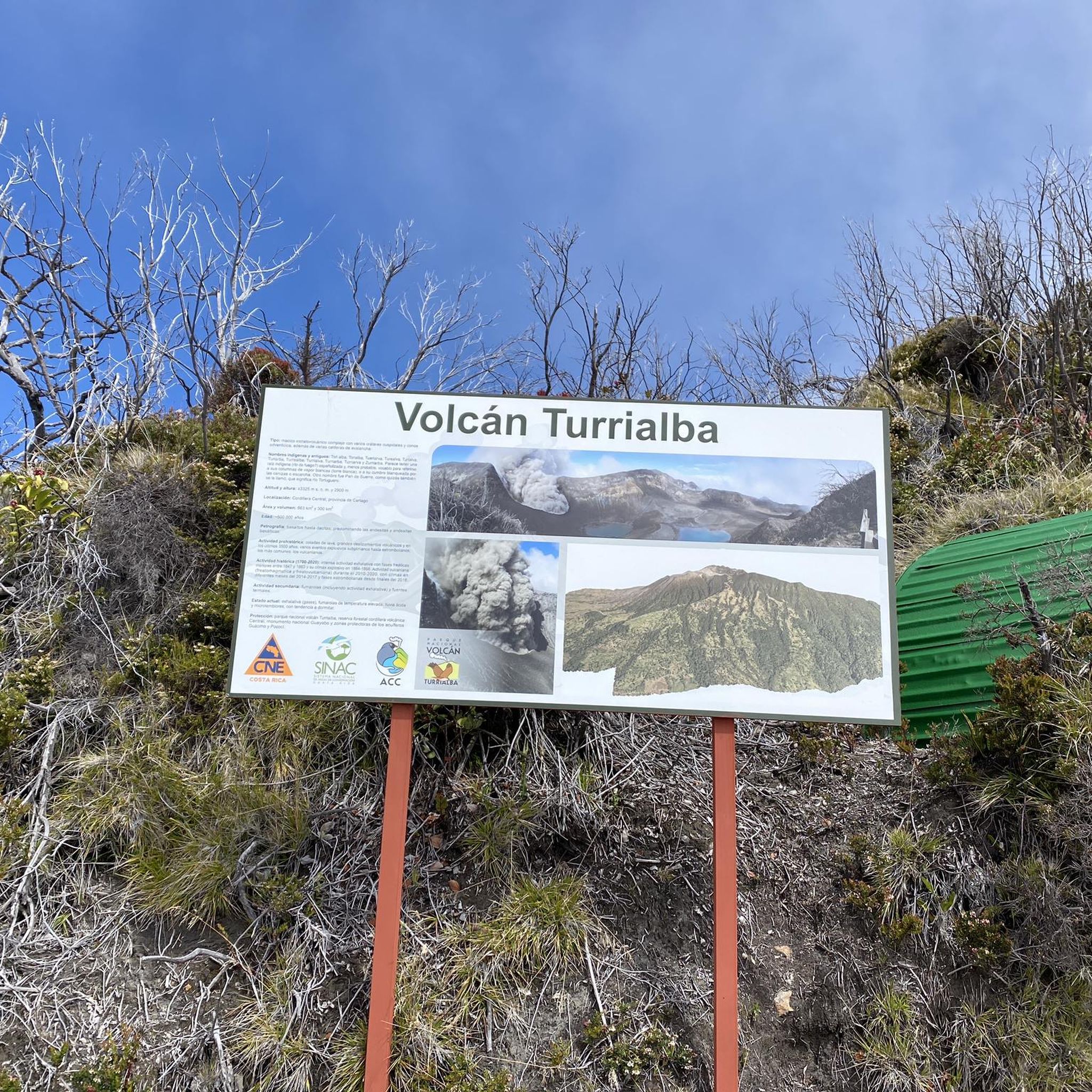
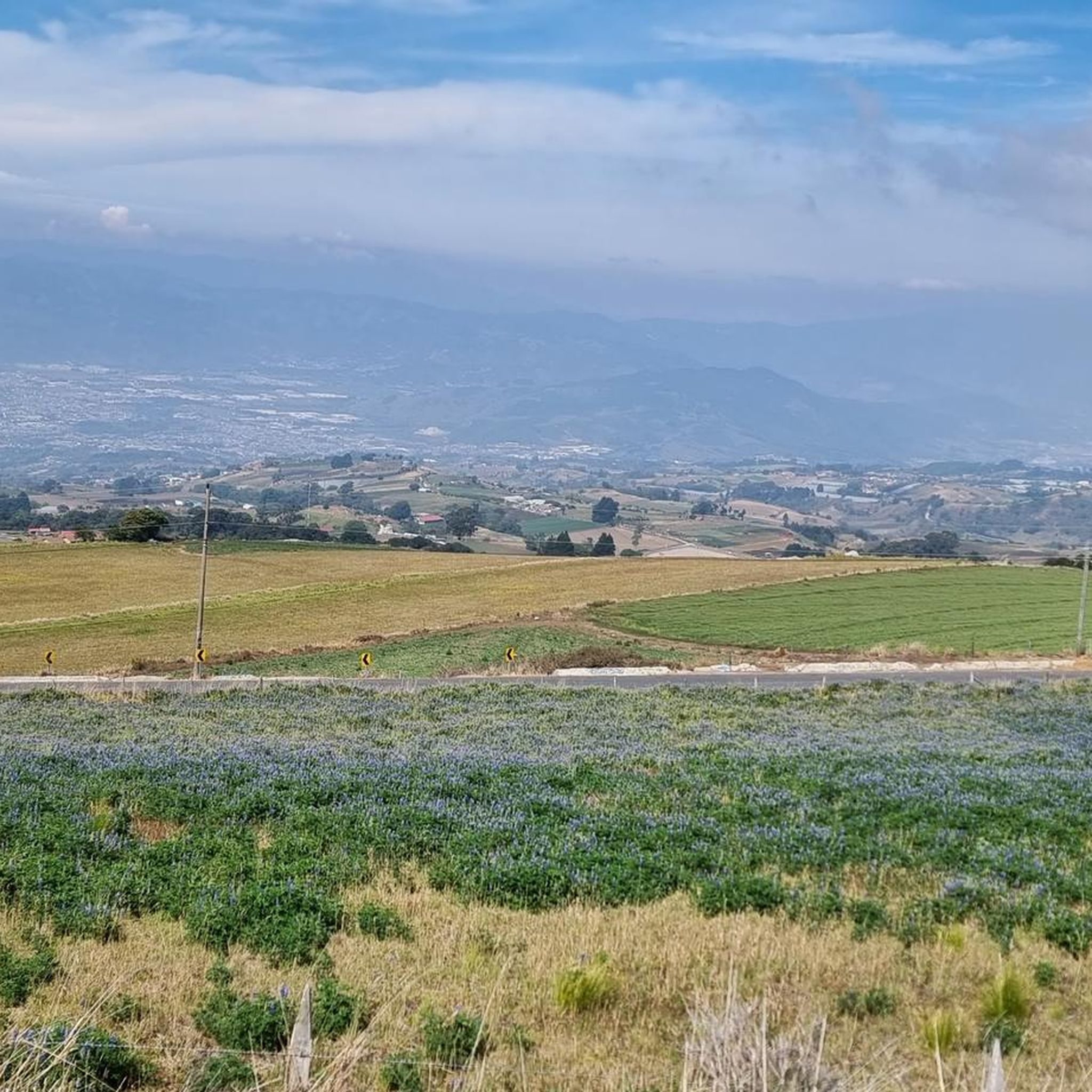
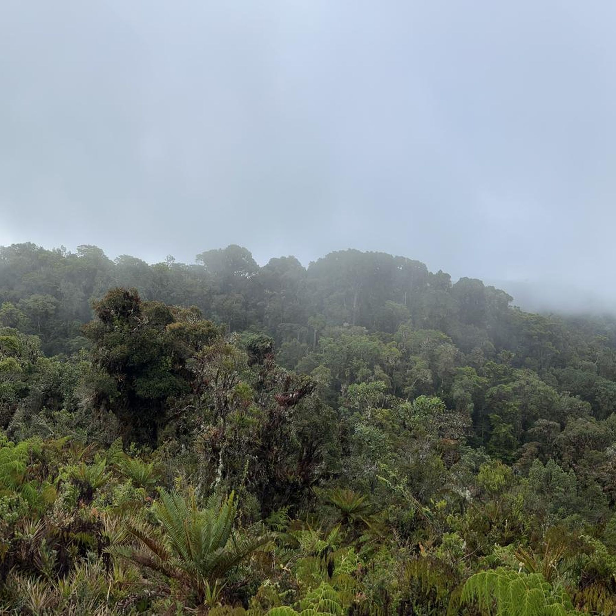
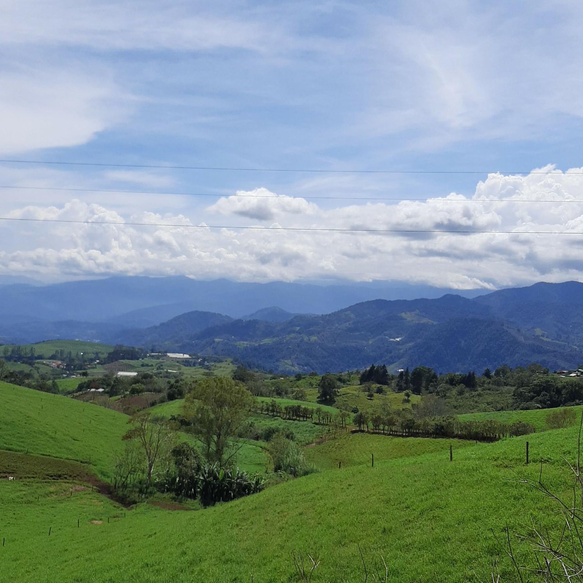
Tips from the Community

Ideal for a straightforward hike! Flat, easy to access, and smooth.
0
0
To get here, you can enter Prusia Park and walk along the Cabeza de Vaca Trail, but you'll have to pay a toll to use the access route through Finca Hacienda Retes. Alternatively, you can exit the park through the main entrance and take the first turn on the right onto an asphalt road, also paying a toll. Continue up a steep hill and you'll reach the Cabeza de Vaca Trail again.
0
0
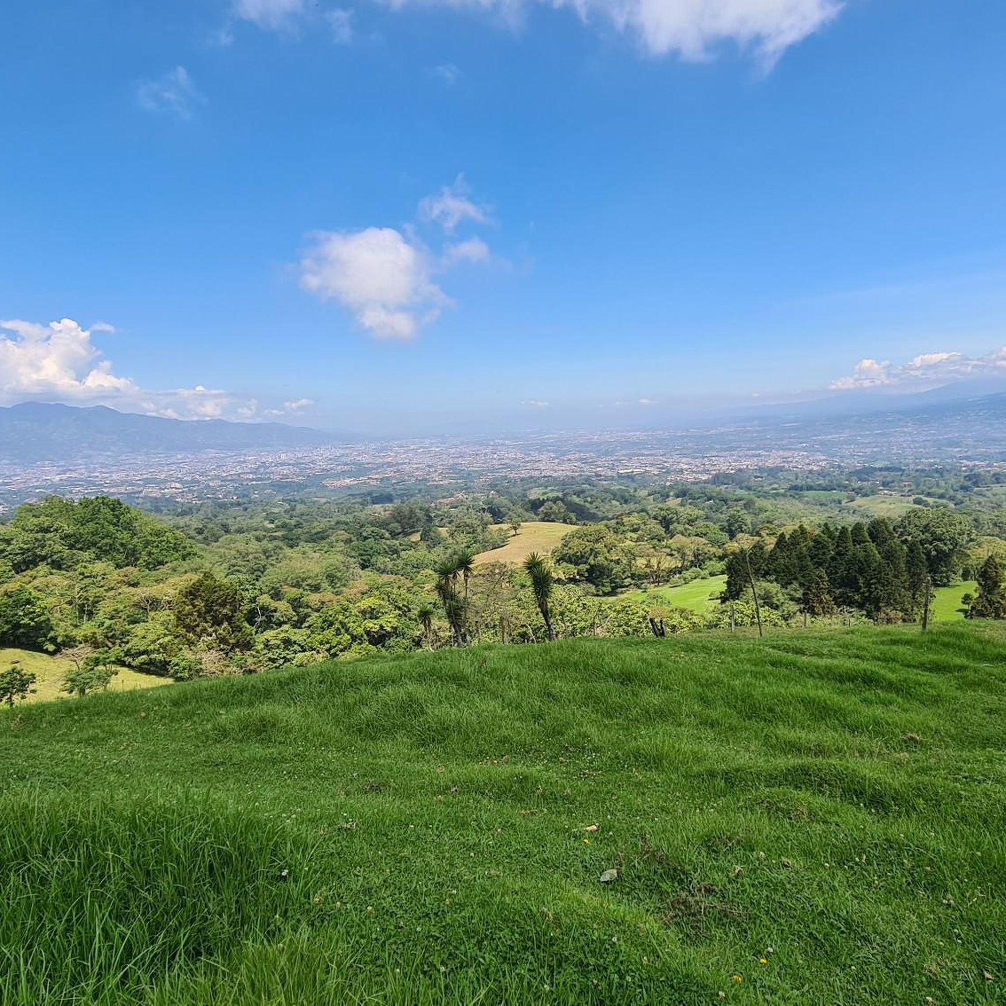
This trail offers spectacular views of Cartago province. Please note that to continue inside the park, you must return along this same trail.
0
0

Here you can buy souvenirs and there is also a small café/bakery
0
0

A very beautiful viewpoint. We used the short circular trail to acclimatize/prepare for Cerro Chirripó, as you're at a very high altitude. Due to the altitude, it can be chilly and windy; we were there in April, and a sweater was sufficient. I can definitely recommend visiting the volcano in the morning. Between 8 and 10 a.m., there are hardly any people there, and the sky is usually still clear at this time. Clouds usually move up the mountain from mid-morning onward. The view is magnificent; however, the turquoise lakes aren't visible during the dry season; they're probably only full during the rainy season. There's a small restaurant that leaves nothing to be desired; all in all, it's fantastic.
0
0

A visit worth it for volcano lovers. Recommended in the morning
0
0
Access requires online reservation. Access is possible until 1 p.m., so it makes sense to hike the Prusia sector in the morning and then visit the Irazu volcano.
0
0
Frequently Asked Questions
How many hiking trails are there in Cartago?
Cartago offers over 25 hiking routes, catering to various skill levels. You'll find a good mix of easy, moderate, and challenging trails to explore the region's diverse landscapes.
Are there easy hiking trails suitable for families in Cartago?
Yes, Cartago has several easy trails perfect for families. For instance, the Main Crater of Irazú Volcano loop is an easy 2.7-mile (4.4 km) path offering close-up views of the volcano. The Fallen Trees Trail loop from Tapantí National Park Information is another easy option, providing a pleasant walk through lush forest.
Can I bring my dog on hikes in Cartago?
While many natural areas in Costa Rica, especially national parks, have restrictions on pets to protect wildlife, some trails outside of protected areas might be dog-friendly. It's always best to check specific park regulations or local guidelines for each trail before heading out with your dog.
Are there any trails with waterfalls in Cartago?
Yes, the region is known for its lushness and rivers, which means waterfalls are a common sight. Tapantí National Park, in particular, is characterized by dense forests, rivers, and impressive waterfalls. You can explore trails within the park, such as the Fallen Trees Trail – Oropéndula Trail loop, which immerse you in this verdant environment. The Orosi Valley also features stunning waterfalls.
What kind of landscapes can I expect to see while hiking in Cartago?
Cartago's hiking trails offer incredibly diverse landscapes. You can expect dramatic volcanic terrains around Irazú and Turrialba volcanoes, lush cloud forests, dense rainforests in areas like Tapantí National Park, and highland ecosystems with paramo landscapes, especially along trails like Cerro de la Muerte. Many routes also feature rivers, panoramic viewpoints, and rich biodiversity.
Are there any circular hiking routes in Cartago?
Yes, many trails in Cartago are designed as loops, allowing you to experience varied scenery without retracing your steps. Examples include the Main Crater of Irazú Volcano loop, the challenging Haunted Tree – Cabeza de Vaca Trail Viewpoint loop, and the peaceful Haunted Tree – Los Abuelos Viewpoint loop in Prusia Forest Reserve.
What are some notable natural attractions or landmarks to see while hiking in Cartago?
While hiking in Cartago, you can encounter several natural wonders. The Main Crater of Irazú Volcano is a must-see, often featuring a vibrant green lake. Tapantí National Park boasts impressive Tree Ferns and numerous waterfalls. The Cerro Chirripó Summit, though a more arduous climb, offers breathtaking views. You might also spot other highlights like the Waterfall in the region.
How can I get to the hiking trails in Cartago using public transport?
Public transport options to reach some of Cartago's hiking areas exist, though they might require transfers or a final taxi ride for more remote trailheads. For popular destinations like Irazú Volcano National Park, buses often run from Cartago city. For other parks like Tapantí or Prusia, you might need to research specific bus routes to nearby towns and then arrange local transport. Always check current schedules and accessibility before planning your trip.
Are there any permits or fees required for hiking in Cartago's national parks?
Yes, national parks and reserves in Cartago, such as Irazú Volcano National Park, Tapantí National Park, and Prusia Forest Reserve, typically require an entrance fee. It's advisable to check the official websites of these parks for current fees and any permit requirements, especially for popular or restricted areas, as some may require advance booking.
What is the best time of year to go hiking in Cartago?
Cartago generally experiences a cooler climate in its mountainous areas, making it pleasant for hiking year-round. However, the dry season (roughly December to April) offers clearer skies and less rain, which can be ideal for panoramic views, especially from volcanoes. The rainy season (May to November) brings lush greenery and more active waterfalls, but trails can be muddy and visibility reduced.
What do other hikers say about the trails in Cartago?
The hiking trails in Cartago are highly rated by the komoot community, with an average score of 4.7 stars from over 100 reviews. Hikers frequently praise the region's unique volcanic landscapes, the rich biodiversity found in its cloud forests, and the variety of trails that cater to different fitness levels. Many appreciate the stunning panoramic views and the immersive experience in nature.
Are there any challenging hikes for experienced trekkers in Cartago?
Absolutely. For experienced trekkers, the Haunted Tree – Cabeza de Vaca Trail Viewpoint loop is a difficult 10.6-mile (17.1 km) route with considerable elevation gain, traversing an extinct volcano. The Cerro de la Muerte Trail, while not listed in the guide data, is also renowned as an arduous climb offering breathtaking perspectives of cloud forests and paramo landscapes along the Talamanca Mountain Range.
Where can I find peaceful, less crowded trails in Cartago?
For a more tranquil experience, the Prusia Forest Reserve, located within Irazú Volcano National Park, offers peaceful trails like the Haunted Tree – Los Abuelos Viewpoint loop. This area is known for being less crowded, providing a serene environment for birdwatching and enjoying nature.
Most popular attractions in Cartago

Get inspired with the komoot mobile app


Didn’t find what you were looking for?
Check out more Hikes throughout Cartago below and find the perfect route in your destination.
Explore more
Browse the best Hikes in other regions.
