The best road cycling routes in Alajuela
4.8
(32)
1,757
riders
101
rides
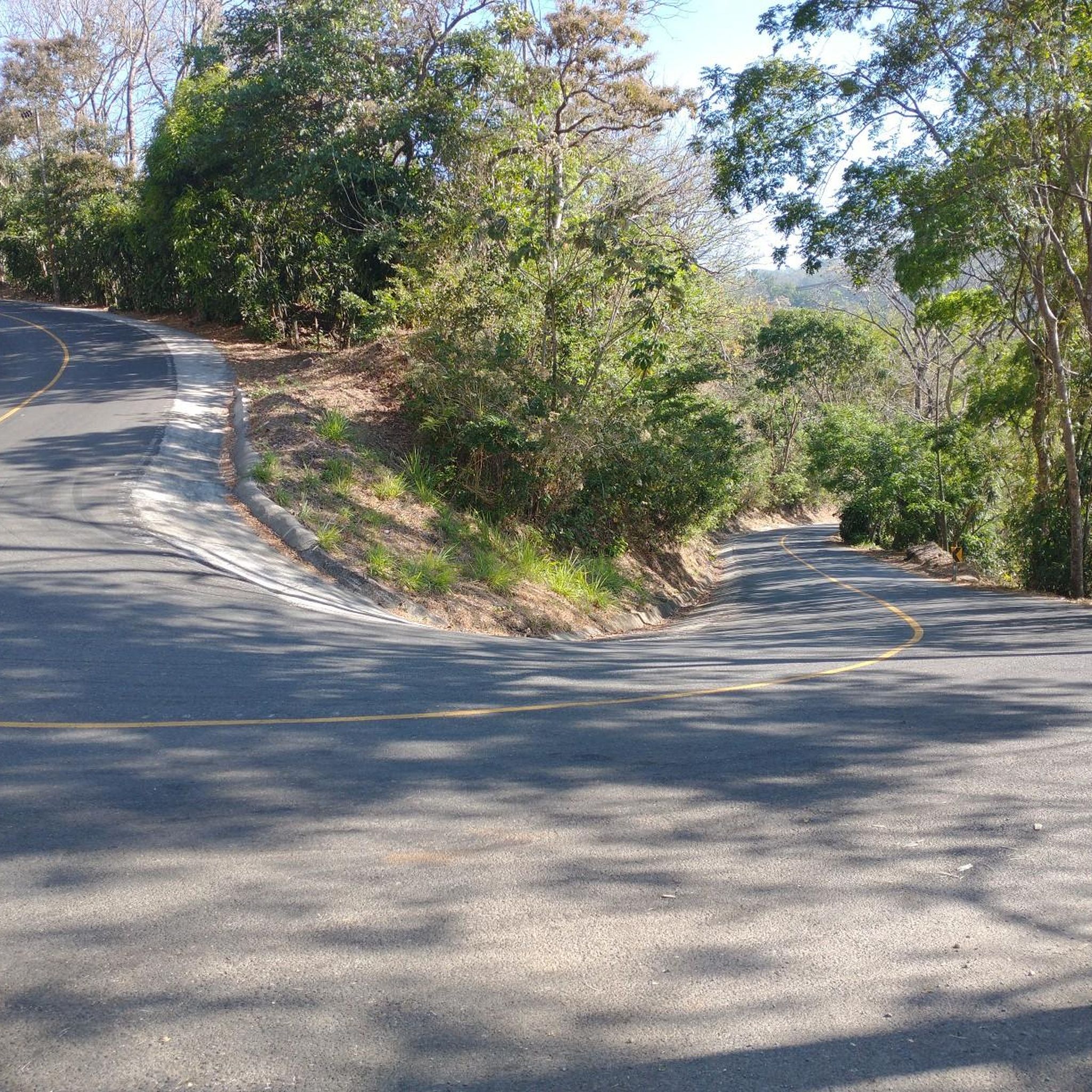
Road cycling routes in Alajuela traverse a diverse landscape, characterized by mountainous central highlands, volcanic peaks, and fertile valleys. The region features significant elevation changes and rolling hills, offering varied terrain for cyclists. Three distinct mountain ranges and numerous peaks provide challenging climbs and exhilarating descents. This geography ensures a wide array of scenic routes for road cyclists.
Best road cycling routes in Alajuela
- The most popular road cycling route is Poás Town Center – El Tambor loop from Garita, a 46.3 miles (74.5 km) trail that takes 3 hours 47 minutes to complete. This difficult route features over 3,900 feet of elevation gain.
- Another top favourite among local road cyclists is El Tambor – Poás Town Center loop from San Pedro, a difficult 54.9 miles (88.4 km) path. This route offers sustained climbs through the central highlands, with over 4,900 feet of ascent.
- Local road cyclists also love the Road – Florencia Roundabout loop from Paja de Agua, a 47.1 miles (75.8 km) trail leading through varied terrain, often completed in about 3 hours 31 minutes.
- Road cycling in Alajuela is defined by mountainous central highlands, volcanic peaks, and fertile valleys. The network offers options for different ability levels, from moderate to difficult routes.
- The routes in Alajuela are highly rated by the komoot community with an average score of 4.8 stars from more than 30 reviews. More than 1,700 road cyclists have used komoot to explore Alajuela's varied terrain.
Last updated: May 23, 2026
5.0
(3)
145
riders
72.7km
03:41
1,200m
1,200m
Hard road ride. Very good fitness required. Mostly well-paved surfaces and easy to ride.
5.0
(2)
103
riders
88.3km
04:37
1,520m
1,520m
Hard road ride. Very good fitness required. Mostly well-paved surfaces and easy to ride.

Sign up for free
4.0
(2)
69
riders
75.8km
03:29
790m
790m
Moderate road ride. Good fitness required. Mostly well-paved surfaces and easy to ride.
5.0
(1)
73
riders
96.7km
04:08
630m
630m
Moderate road ride. Good fitness required. Mostly well-paved surfaces and easy to ride.
5.0
(1)
69
riders
85.7km
04:14
1,280m
1,280m
Hard road ride. Very good fitness required. Mostly well-paved surfaces and easy to ride.
63
riders
88.8km
04:10
1,080m
1,080m
Hard road ride. Very good fitness required. Mostly well-paved surfaces and easy to ride.
48
riders
67.4km
03:45
1,430m
1,430m
Hard road ride. Very good fitness required. Mostly well-paved surfaces and easy to ride.
45
riders
131km
06:54
2,310m
2,310m
Hard road ride. Very good fitness required. Some segments of this route may be unpaved and difficult to ride.
37
riders
63.4km
03:16
1,010m
1,010m
Hard road ride. Very good fitness required. Mostly well-paved surfaces and easy to ride.
3.0
(1)
40
riders
23.4km
01:14
380m
380m
Moderate road ride. Good fitness required. Mostly well-paved surfaces and easy to ride.
Get access to more routes and recommendations from other explorers.
Sign up for free
Already have an account?
Our route recommendations are based on thousands of hikes, rides, and runs completed by other people on komoot.
Start today with a free account
Your next adventure awaits.
Login or Signup
Popular around Alajuela
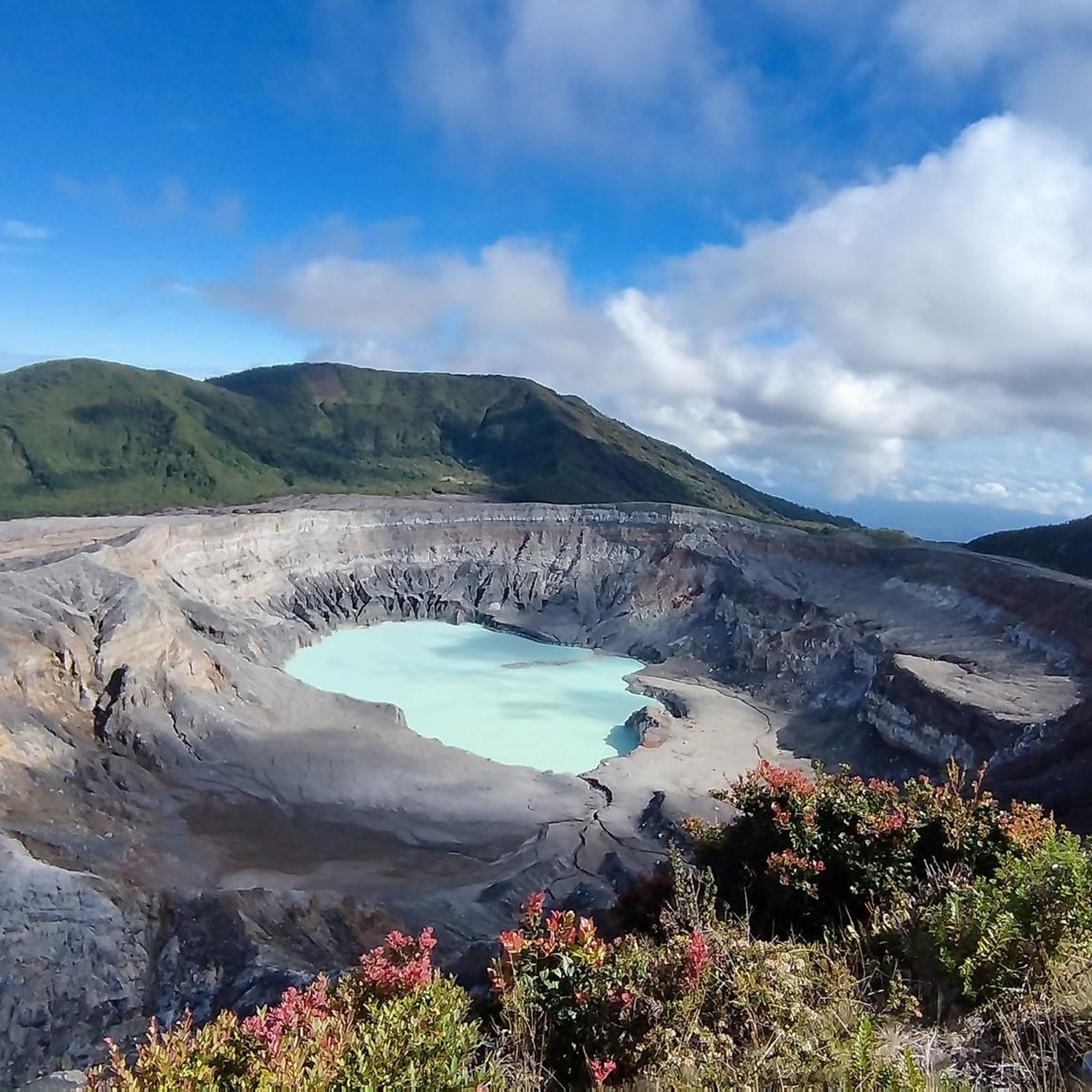
Road Cycling Routes in Poás
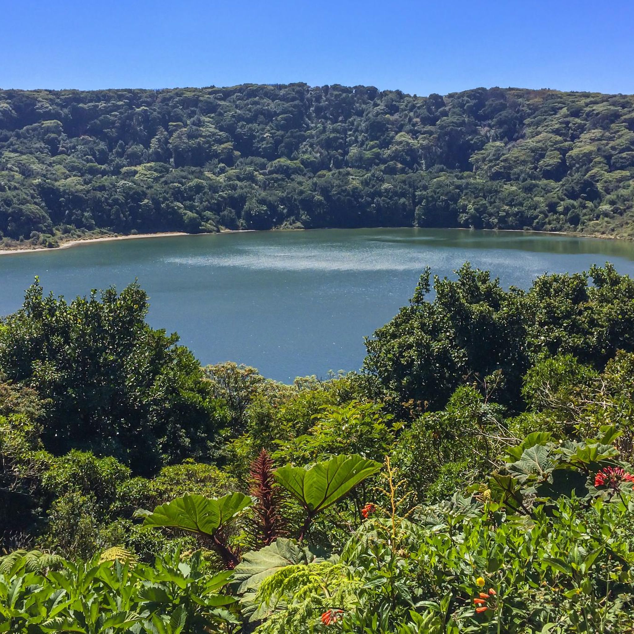
Road Cycling Routes in Alajuela
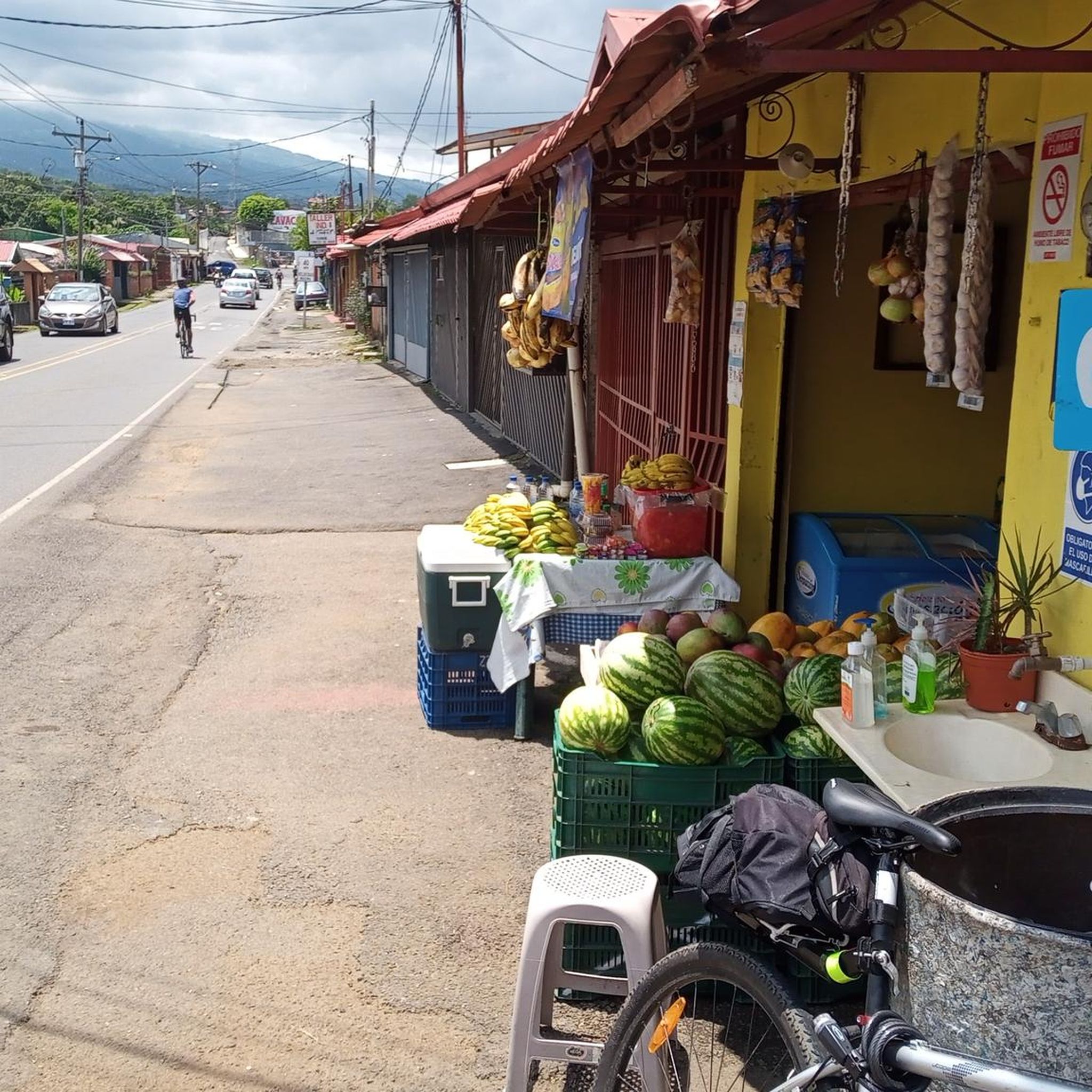
Road Cycling Routes in Grecia
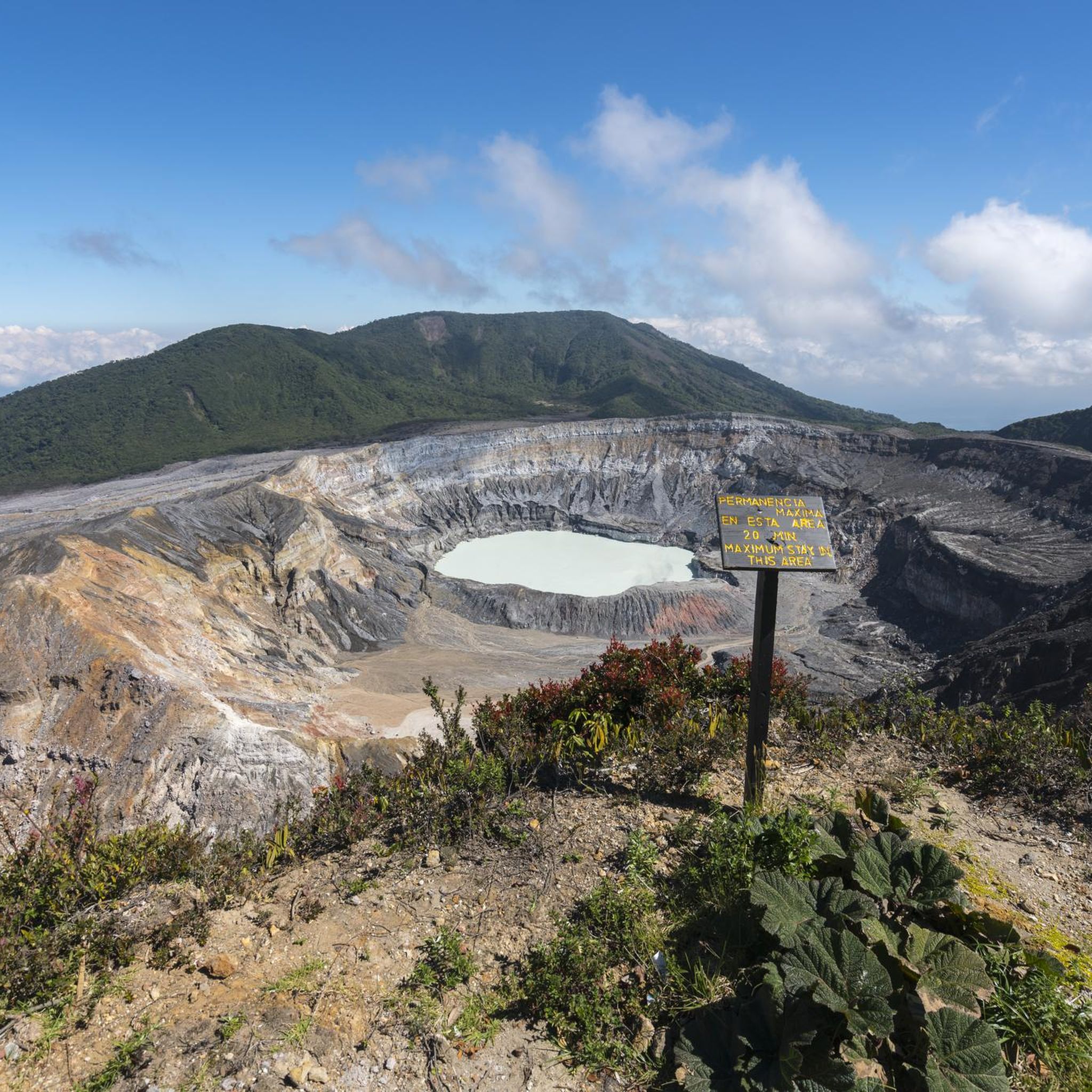
Road Cycling Routes in Sarchí
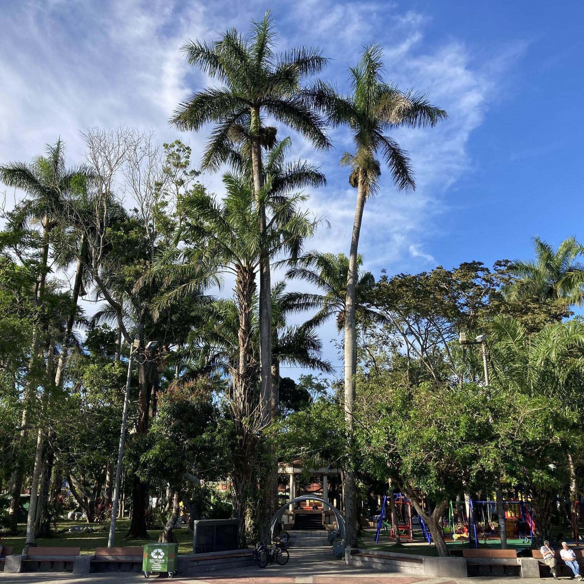
Road Cycling Routes in Palmares
Road Cycling Routes in San Carlos

Road Cycling Routes in Orotina
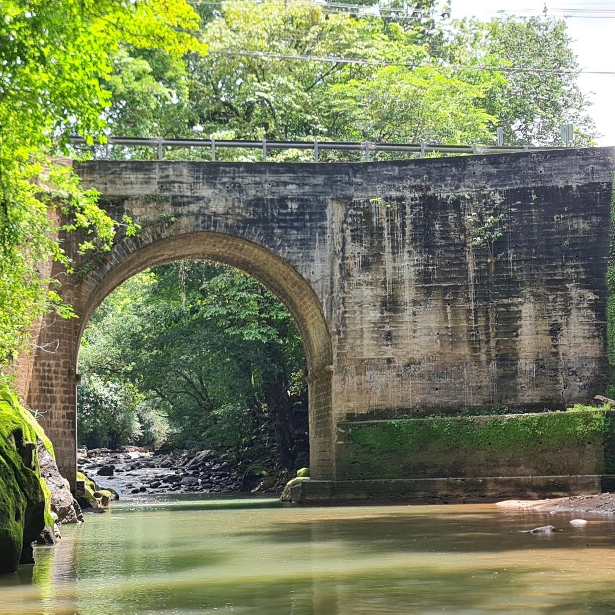
Road Cycling Routes in San Mateo
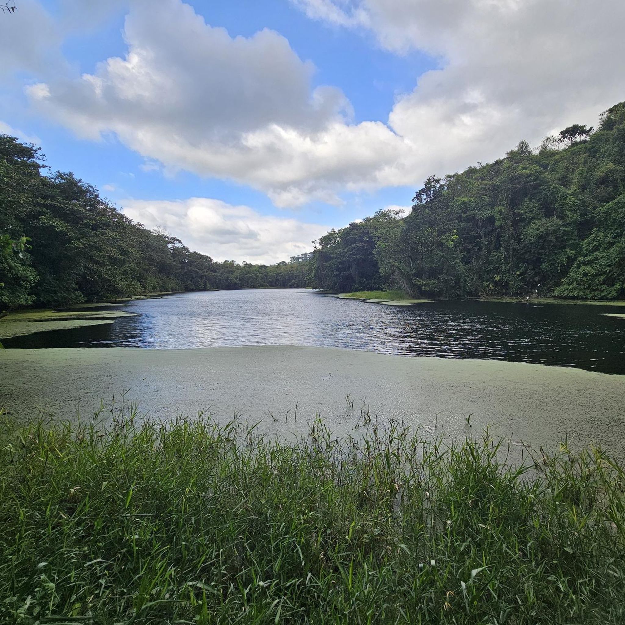
Road Cycling Routes in San Ramón
Road Cycling Routes in Atenas
Tips from the Community


Beautiful place, it's quite flat, excellent for a quiet outing or to get your cadence right.
0
0

Be careful with your camera and your cell phone! If something falls down, it is irretrievably gone. We strongly advise against going down… the name says it all
0
0
Plenty of water or moisturizer as it is quite hot
0
0

excellent place
0
0


The church of Nuestra Señora de las Mercedes is a Catholic temple and parish in Costa Rica that is located in the city of Grecia, in the province of Alajuela, in the west of the country. It is a building built in the year 1840, dedicated for Catholic worship in that population, to the Virgin Mary under the invocation of Our Lady of Mercedes. It is a neo-Gothic style construction, built entirely of iron. It is the country's national monument.
1
0
Frequently Asked Questions
How many road cycling routes are available in Alajuela?
Alajuela offers a wide selection of road cycling routes, with over 100 routes available on komoot. These routes cater to various fitness levels, from moderate to difficult, ensuring there's an option for most cyclists.
What kind of terrain can I expect on Alajuela's road cycling routes?
Road cycling in Alajuela is characterized by incredibly diverse terrain. You'll encounter mountainous central highlands, volcanic peaks, and fertile valleys. The region features significant elevation changes and rolling hills, with some routes traversing the flatter northern plains. While many surfaces are well-paved, some challenging routes may include unpaved segments.
What are the typical difficulty levels for road cycling routes in Alajuela?
Alajuela's road cycling routes offer a range of difficulties. While many are considered difficult, requiring very good fitness due to sustained climbs and significant elevation gains, there are also numerous moderate routes and a few easier options available. For example, routes like Poás Town Center – El Tambor loop from Garita are difficult, while Road – Florencia Roundabout loop from Paja de Agua is a moderate option.
What should I know about elevation gain on Alajuela's road cycling routes?
Alajuela's mountainous landscape means many road cycling routes feature significant elevation gain. For instance, the El Tambor – Poás Town Center loop from San Pedro includes over 4,900 feet of ascent. Even moderate routes can involve substantial climbing, so be prepared for undulating terrain and rewarding descents.
Are there any notable natural features or landmarks along the road cycling routes in Alajuela?
Yes, Alajuela's routes often pass by stunning natural features. You can find routes near iconic volcanoes like Poás and Arenal, and the region is rich in water features. For example, you might encounter highlights such as Rio Celeste Waterfall or La Fortuna Waterfall. The Mistico Arenal Hanging Bridges Park is another notable attraction in the area.
Can I find routes that pass by waterfalls in Alajuela?
Absolutely. Alajuela is known for its beautiful waterfalls. While cycling, you might find routes that offer views or access to sites like Rio Celeste Waterfall or La Fortuna Waterfall. La Paz Waterfall Gardens, though not directly on a cycling route, is a famous site in the region.
Are there circular road cycling routes in Alajuela?
Many of Alajuela's road cycling routes are designed as loops, allowing you to start and end at the same point. Examples include the Poás Town Center – Hacienda Alsacia loop from Alajuela or the Florencia Roundabout loop from San Bosco, offering convenient options for exploration.
What is the best time of year for road cycling in Alajuela?
Alajuela offers good cycling conditions year-round, but the dry season (roughly December to April) is often preferred for its stable weather. The cooler climate in the highlands provides a pleasant contrast to the humid northern plains, so your ideal time might depend on the specific region and elevation you plan to cycle.
Are there options for less experienced road cyclists in Alajuela?
While many routes are challenging, Alajuela does offer options for less experienced road cyclists. There are a few easy routes and a good number of moderate routes that provide a less strenuous experience compared to the difficult mountain climbs. These routes often feature less elevation gain and shorter distances, making them suitable for those building their fitness.
What do other cyclists say about road cycling in Alajuela?
The road cycling experience in Alajuela is highly rated by the komoot community, with an average score of 4.8 stars from over 30 reviews. Cyclists often praise the region's varied terrain, stunning scenic views, and the challenge offered by its mountainous routes.
Are there quiet road cycling paths in Alajuela, away from heavy traffic?
While Alajuela's natural beauty is undeniable, some narrow mountain roads can experience heavy traffic. However, many routes venture into quieter, less populated areas, especially those exploring the more rural parts of the central highlands or the northern plains. Researching specific routes on komoot can help identify paths known for lower traffic volumes.
Where can I find more information about cycling in Costa Rica?
For broader information on outdoor recreation and adventure activities, including biking, in Costa Rica, you can visit official tourism sites such as govisitcostarica.com or visitcostarica.com.
Most popular routes in Alajuela
Most popular attractions in Alajuela

Get inspired with the komoot mobile app


Didn’t find what you were looking for?
Check out more Road cycling routes throughout Alajuela below and find the perfect route in your destination.
Explore more
Browse the best Road cycling routes in other regions.
