The best road cycling routes around Gschnitz
4.5
(171)
5,050
riders
12
rides
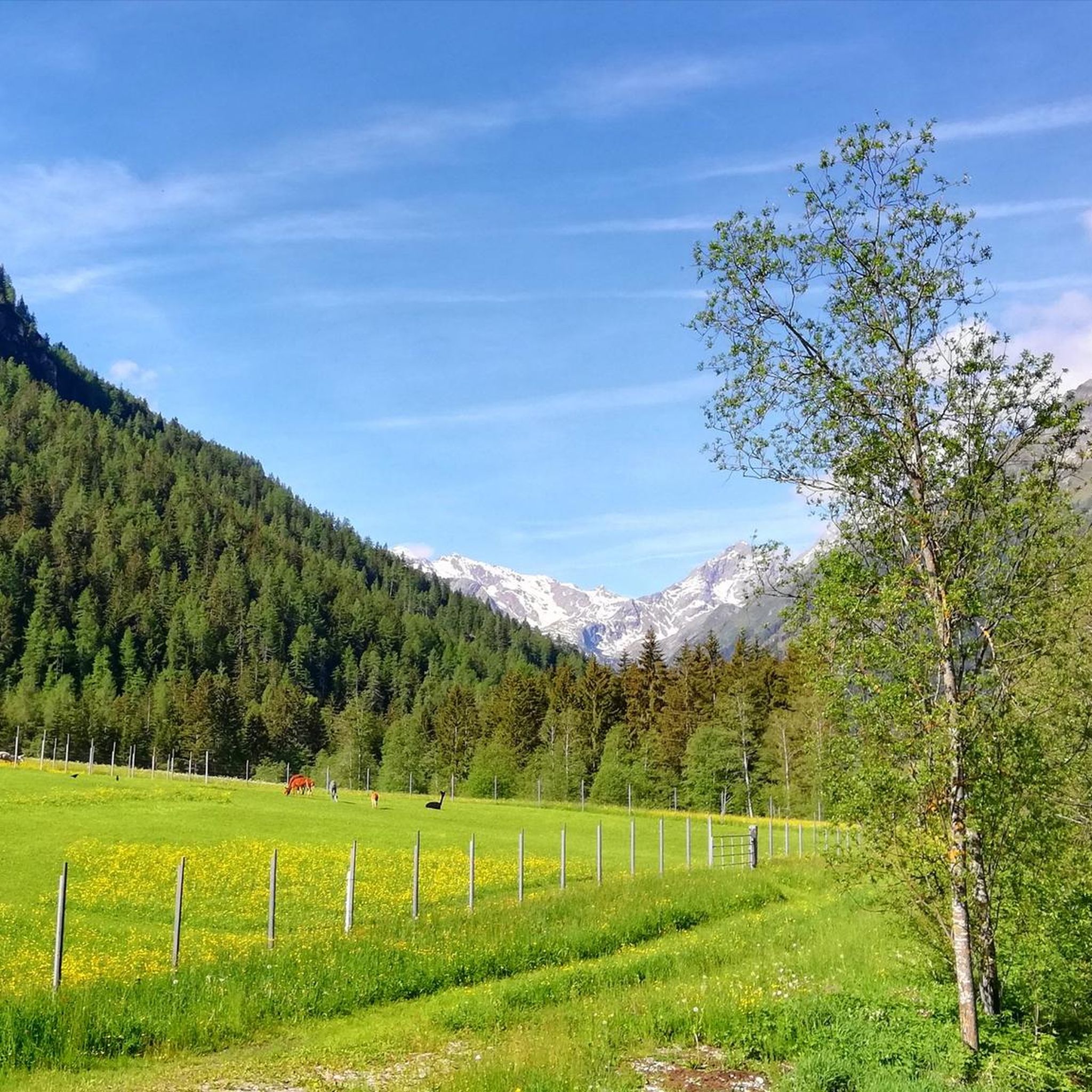
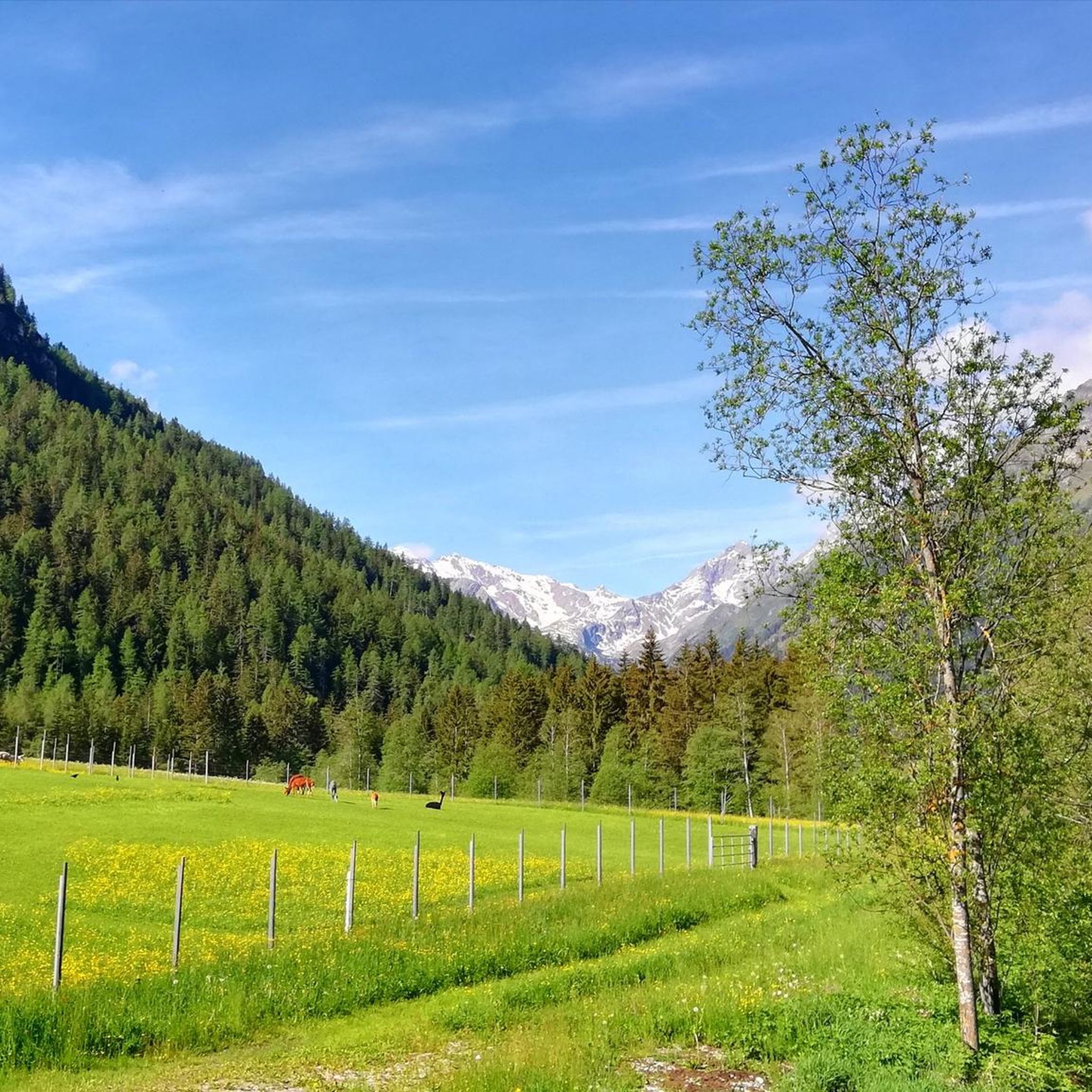
Road cycling routes around Gschnitz are situated in the Wipptal valley within Tyrol, Austria, characterized by Alpine landscapes and the Stubai Alps. The Gschnitztal itself is a flat U-valley, flanked by mountains that offer varied topography for cyclists. This region provides a mix of steady valley rides and challenging climbs through impressive alpine scenery.
Best road cycling routes around Gschnitz
- The most popular road cycling route is Climb to Oberried – Panoramic View of Colle Isarco loop from Pflersch,…
Last updated: September 26, 2026
4.5
(12)
387
riders
37.0km
01:46
490m
490m
Moderate road ride. Good fitness required. Some segments of this route may be unpaved and difficult to ride.
3.7
(3)
119
riders
Moderate road ride. Good fitness required. Some segments of this route may be unpaved and difficult to ride.

4.8
(4)
103
riders
Easy road ride. Great for any fitness level. Mostly well-paved surfaces and easy to ride.
4.0
(2)
74
riders
27.0km
01:35
660m
660m
Moderate road ride. Good fitness required. Mostly well-paved surfaces and easy to ride.
5.0
(1)
30
riders
43.7km
02:10
700m
700m
Moderate road ride. Good fitness required. Mostly well-paved surfaces and easy to ride.
Get access to more routes and recommendations from other explorers.
Already have an account?
Our route recommendations are based on thousands of hikes, rides, and runs completed by other people on komoot.
Start today with a free account
Your next adventure awaits.
Popular around Gschnitz
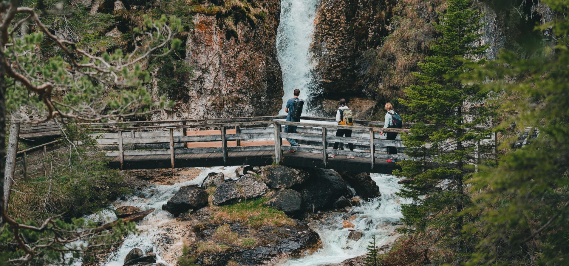
Idyllic mountain lakes and rushing waterfalls – hiking in the Wipptal
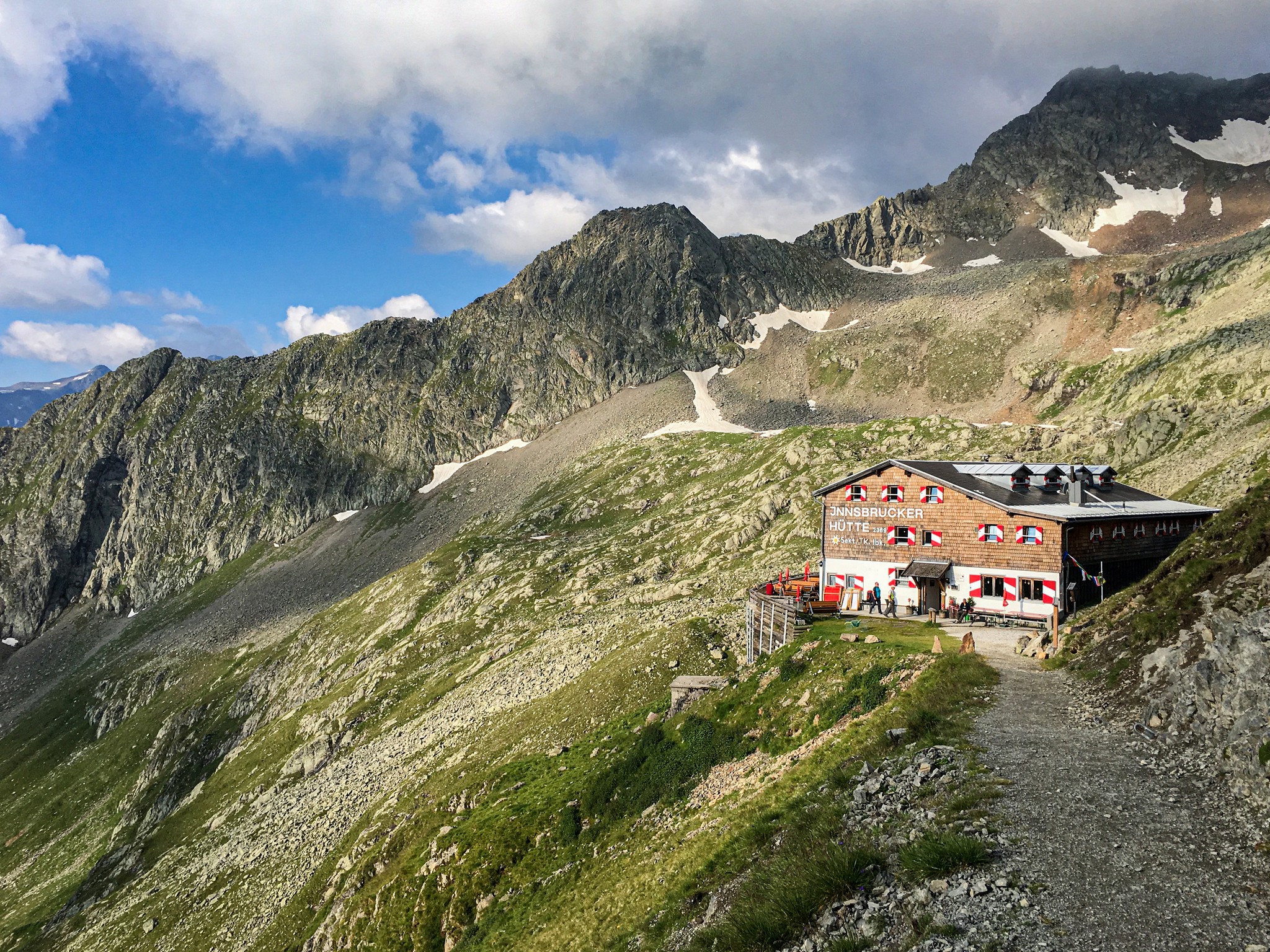
Gschnitztal Hüttenstern – 6 glorious day hikes to mountain huts
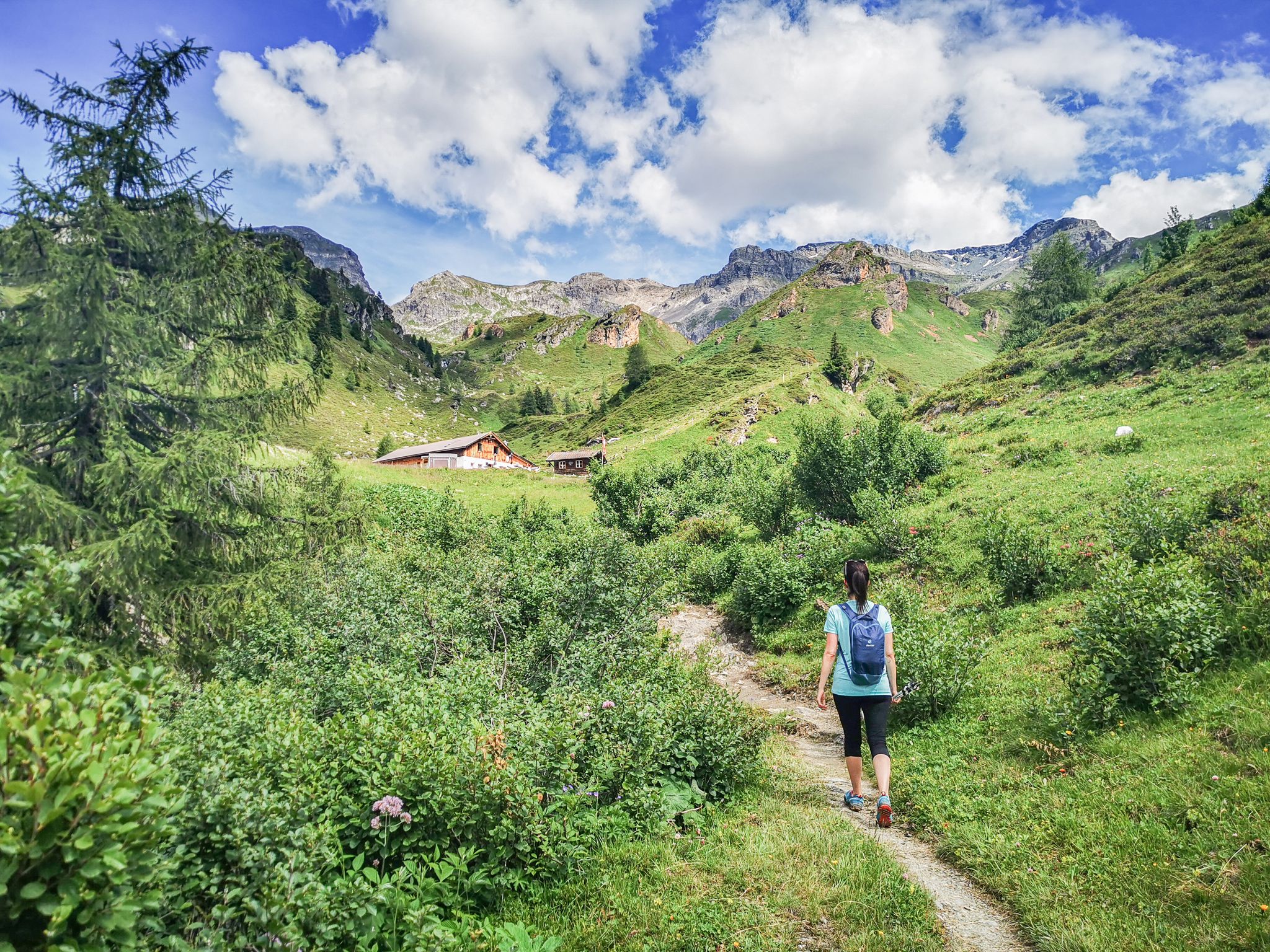
5 culinary alpine and hut hikes in Austria's Wipptal
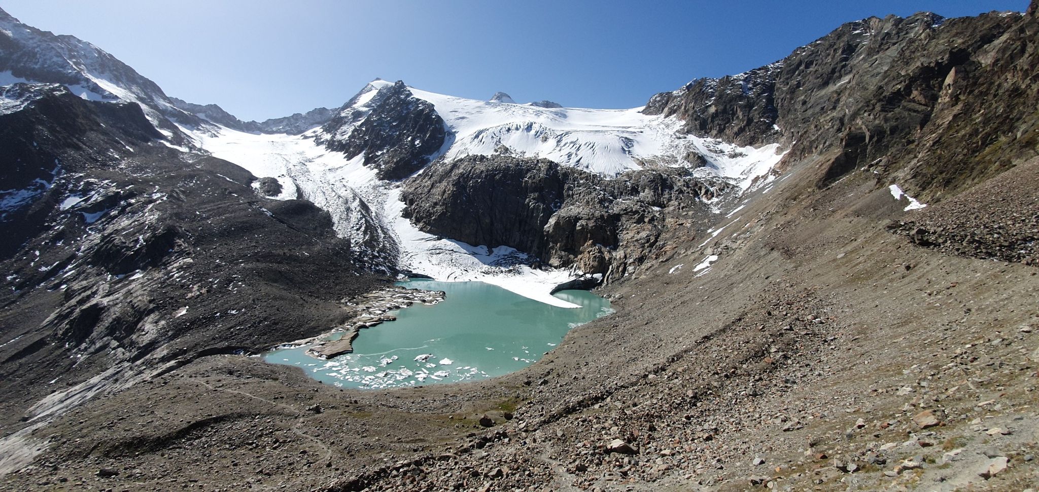
Stubai Alps Crossing – 10 days of pure adventure
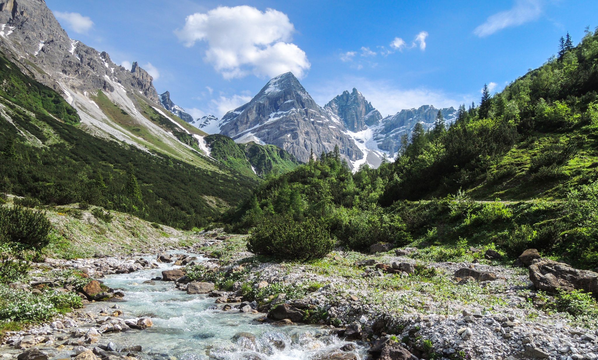
A journey of discovery in Tyrol – hidden places in the Wipptal Valley
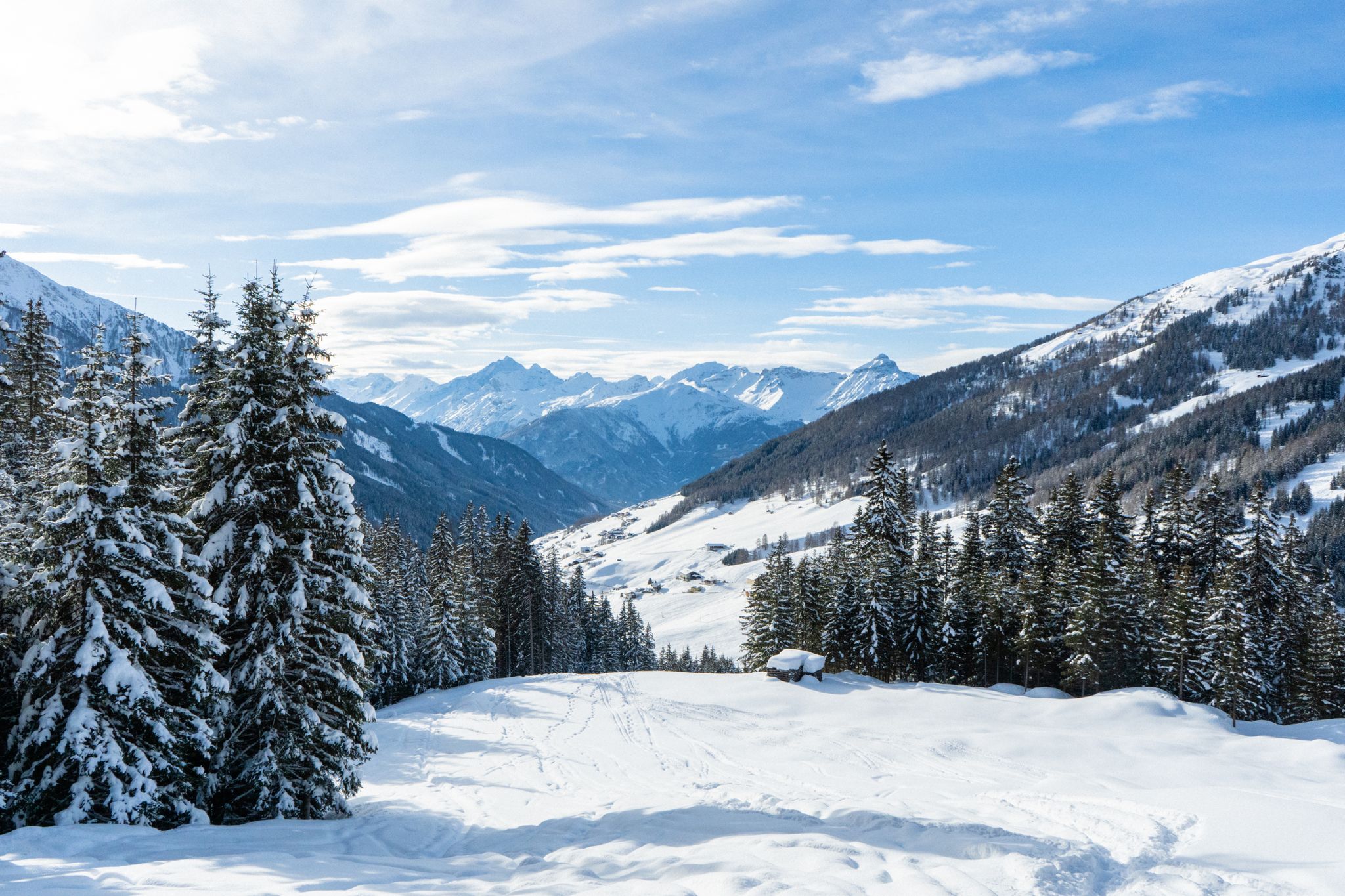
Your winter in Austria’s Wipptal Valley: 10 tips for adventuring in the snow
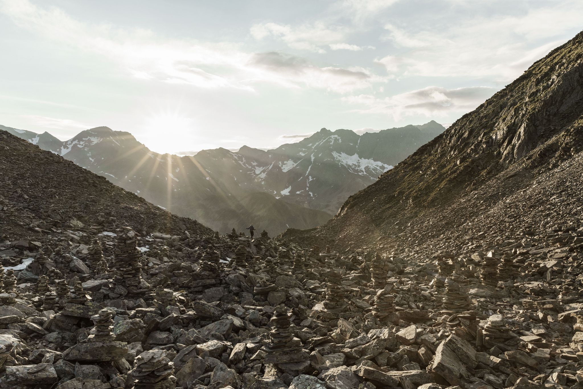
A breath of alpine air on the Stubai High Trail — Great Walks
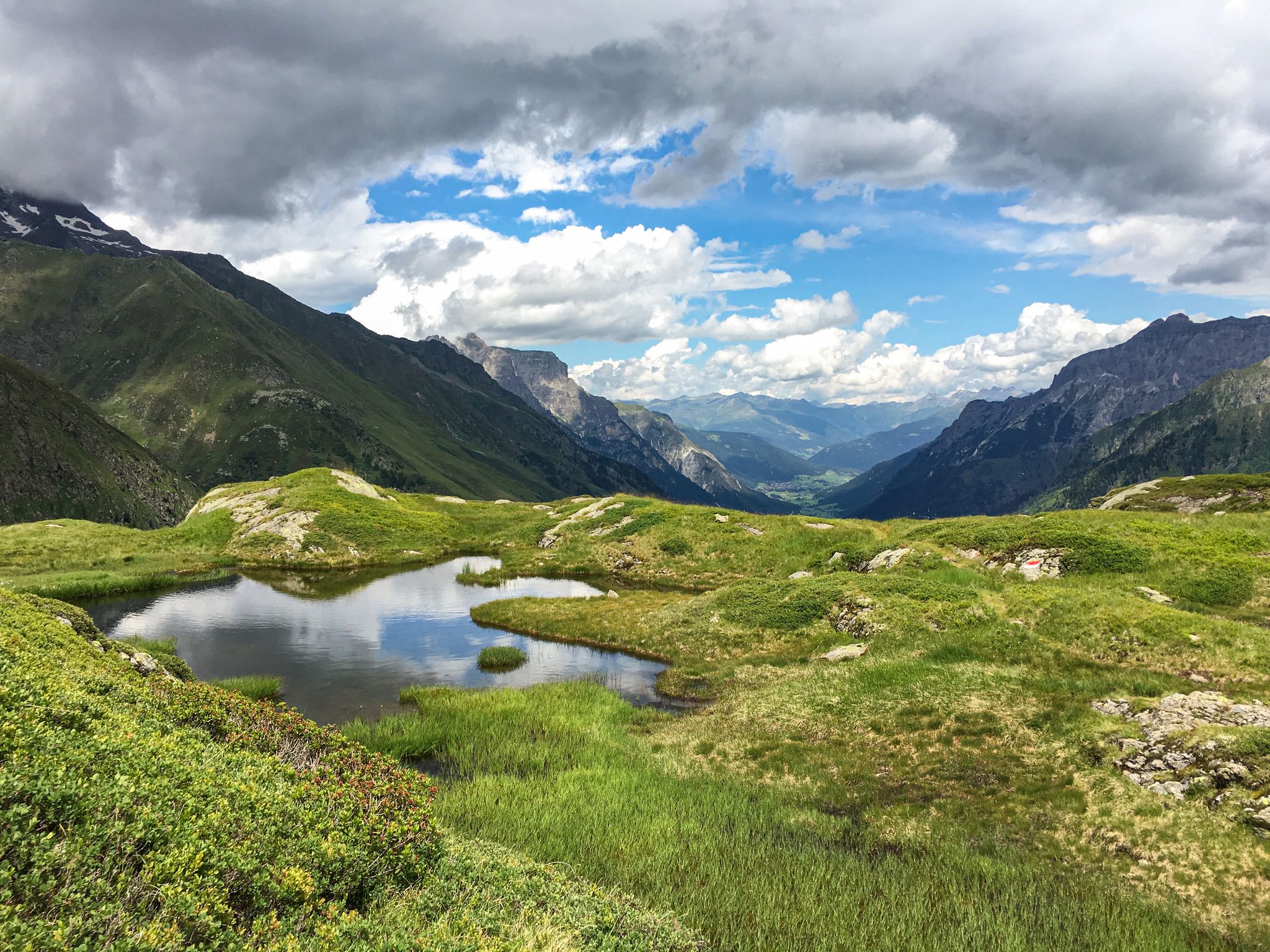
Lonely lakes and thundering waterfalls – magical places in the Wipp Valley
Hiking around Gschnitz
Cycling around Gschnitz
Other adventures around Gschnitz


Tips from the Community

Top descent from the Brenner down to Sterzing
0
0

What a panorama and feeling of achievement to have made it over the pass by bike.
1
1

The church is dedicated to St. Pancras and is located in the center of Mareit, part of the municipality of Racines. It belongs to the deanery of Sterzing in the Diocese of Bolzano-Brixen.
0
0
Beautiful cycle path with several tunnels
0
0

another interesting section
0
0
Oops, I didn't even see the stone!
1
1

Great place to stop with delicious food, large beer garden, closed on Wednesdays
0
0

Grawa waterfall with great seating
1
0
Frequently Asked Questions
How many road cycling routes are available around Gschnitz?
There are 14 road cycling routes around Gschnitz, offering a diverse range of experiences for cyclists. These include 3 easy routes, 8 moderate routes, and 3 challenging routes, ensuring options for various skill levels.
What kind of terrain can I expect on road cycling routes in Gschnitz?
Gschnitz, located in the Wipptal valley, offers a varied topography. You'll find relatively flat U-valley sections, ideal for steady rides, alongside more rugged mountainous terrain with challenging ascents through impressive Alpine scenery. The region is flanked by the Stubai Alps, providing a dynamic environment for road cyclists.
Are there any family-friendly road cycling options in Gschnitz?
Yes, the Gschnitztal cycle path is particularly well-suited for families and less strenuous rides. This idyllic route winds from Steinach deep into the valley alongside the Gschnitzbach stream, allowing cyclists to enjoy the tranquil environment. Additionally, there are 3 easy-rated road cycling routes available in the area.
What are some scenic highlights or attractions I can see along the road cycling routes?
Many routes offer stunning views of the Alpine landscape. For example, the route Grawa Waterfall – View of the Ruetz Waterfall loop from Krößbach Edelweiß features scenic views of both the Grawa and Ruetz Waterfalls. You might also encounter historical sites like the Abandoned Military Bunkers on the Brenner Pass or enjoy panoramic views on routes like Climb to Oberried – Panoramic View of Colle Isarco loop from Pflersch.
When is the best time of year for road cycling in Gschnitz?
The best time for road cycling in Gschnitz is typically during the warmer months, from late spring to early autumn. This period offers pleasant temperatures and clear conditions to fully enjoy the Alpine landscapes. During winter, the region transforms into a winter wonderland, with focus shifting to activities like cross-country skiing.
Are there any loop trails for road cyclists in Gschnitz?
Yes, many of the road cycling routes around Gschnitz are designed as loops. For instance, the Panoramic View of Colle Isarco loop from Pflersch and the Gries am Brenner – Brenner Pass Climb loop from Gschnitz are popular circular routes that allow you to start and end at the same point.
What is the community's rating for road cycling in Gschnitz?
The road cycling routes in Gschnitz are highly regarded by the komoot community, holding an impressive average rating of 4.5 stars from over 100 reviews. More than 4,000 road cyclists have used komoot to explore the varied terrain, often praising the stunning Alpine landscapes and diverse route options.
Are there options for advanced road cyclists seeking a challenge?
Absolutely. While the Gschnitztal offers gentler valley rides, the surrounding mountainous terrain provides numerous possibilities for demanding road climbs through impressive Alpine scenery. There are 3 difficult-rated routes available for those seeking a significant challenge and higher elevation gains.
Can I find places to eat or stay along the road cycling routes in Gschnitz?
The Gschnitztal is known as the 'valley of huts,' with numerous mountain huts serving as essential stops for refreshments and overnight stays during longer tours. While specific cafes or pubs directly on every road cycling route aren't detailed, the presence of these huts and villages along the valley ensures opportunities for breaks and accommodation.
What are the options for parking when road cycling in Gschnitz?
While specific parking locations are not detailed for every route, Gschnitz and the surrounding villages in the Wipptal valley generally offer parking facilities for visitors. It's advisable to check local signage or inquire at tourist information centers for the most convenient parking spots near your chosen trailhead.
Are there any routes that feature waterfalls?
Yes, the region is home to beautiful natural features. The route Gschnitz Waterfall – Laponesalm loop from Trins will take you past the Gschnitz Waterfall. Additionally, the Grawa Waterfall – View of the Ruetz Waterfall loop from Krößbach Edelweiß offers views of both the Grawa and Ruetz Waterfalls.
Is public transport available to access road cycling routes in Gschnitz?
Gschnitz is located in the Wipptal valley, which is generally well-connected within Tyrol, Austria. Public transport options, such as buses, typically serve the main villages in the valley. Cyclists can often use these services to reach starting points or return from endpoints, though specific bike carriage policies should be verified with the local transport providers.
Most popular routes around Gschnitz
Most popular attractions around Gschnitz

Get inspired with the komoot mobile app


Explore more
Browse the best Road cycling routes in other regions.
