The best walks and hikes around Grünhain-Beierfeld
4.4
(1487)
4,465
hikers
144
hikes
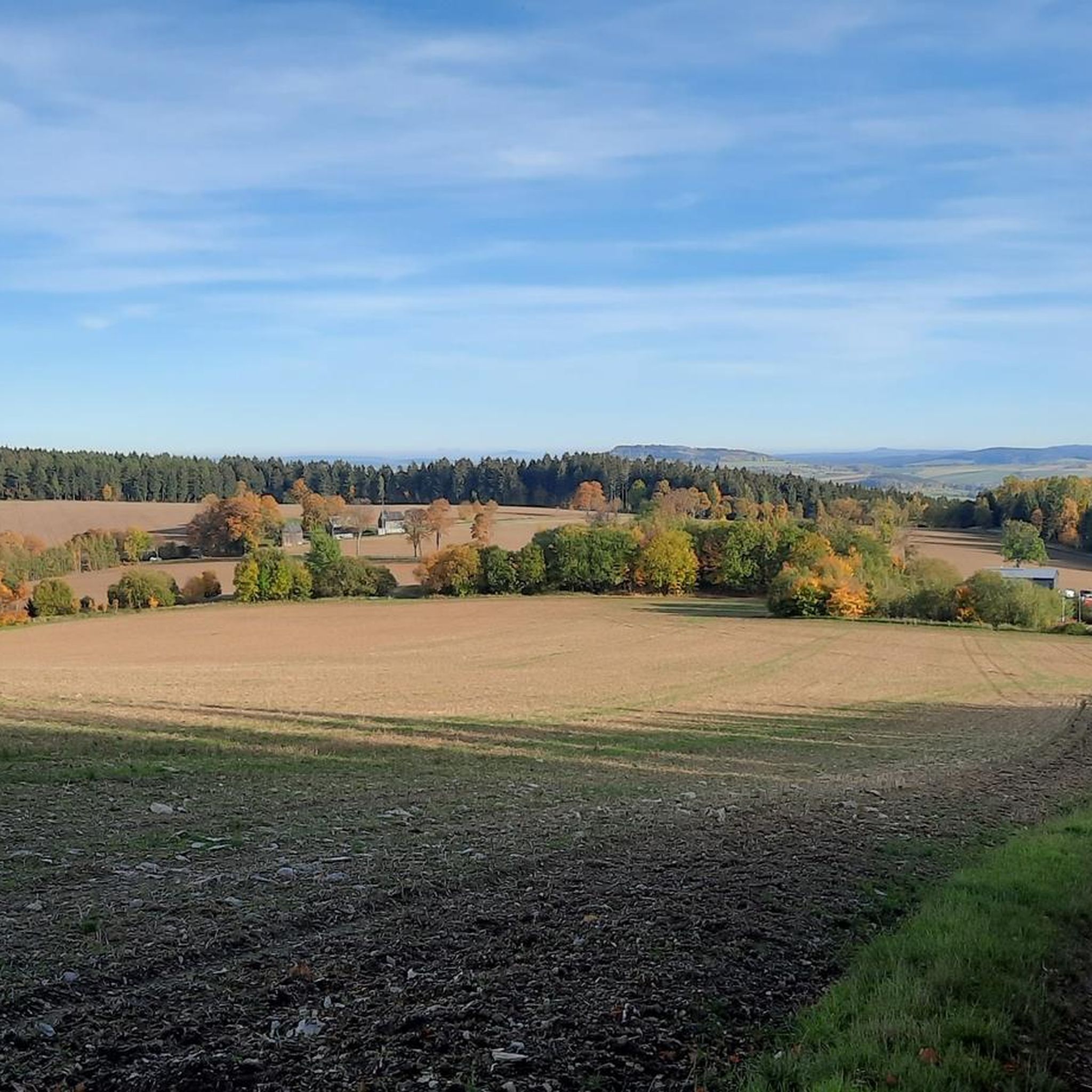
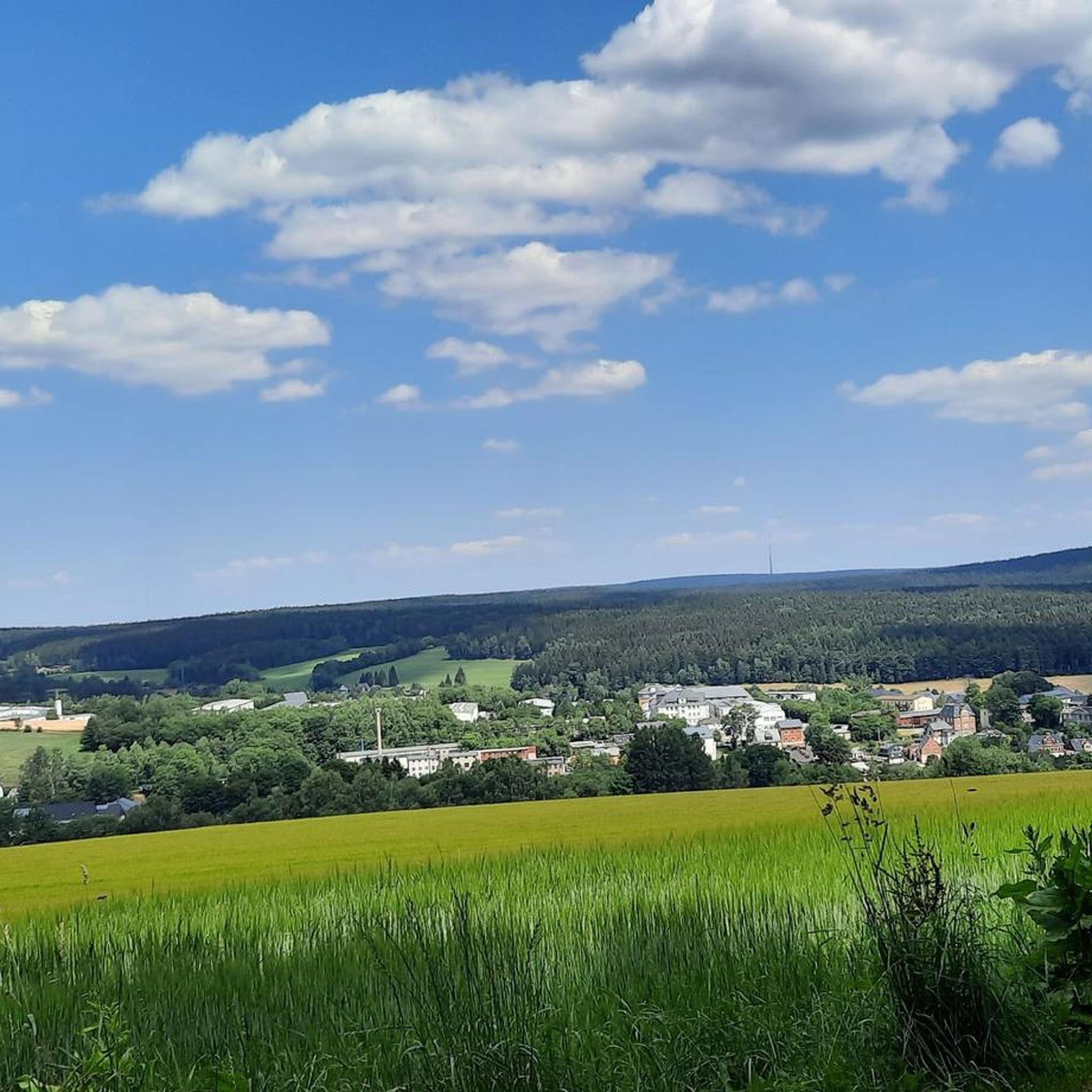
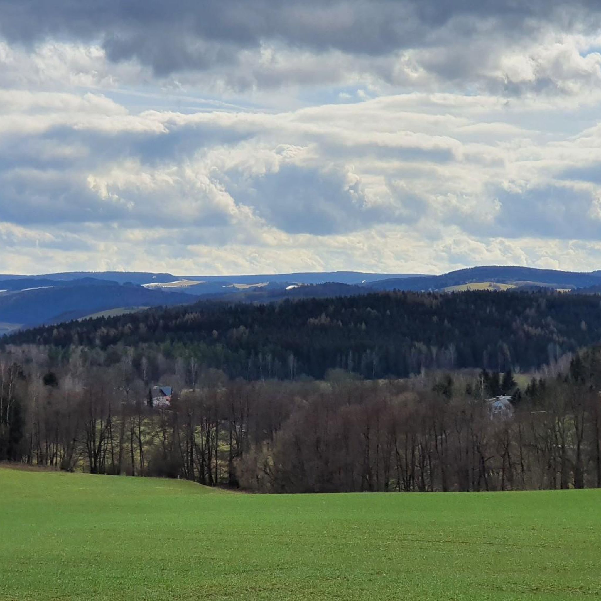
Hiking around Grünhain-Beierfeld offers diverse landscapes within the Erzgebirge (Ore Mountains) in Saxony, Germany. The region is characterized by wooded hills, idyllic meadows, and valleys, forming part of the Erzgebirge/Vogtland Nature Park. Prominent natural features include the 728-meter-high Spiegelwald mountain and the scenic Oswaldtal valley. These natural features provide varied terrain for hiking trails around Grünhain-Beierfeld.
Best hiking trails around Grünhain-Beierfeld
- The most popular hiking route is View of Schwarzenberg – Bernsbach Observation Tower loop from Grünhain-Beierfeld, a 3.6…
Last updated: August 20, 2026
4.7
(71)
214
hikers
Moderate hike. Good fitness required. Easily-accessible paths. Suitable for all skill levels.
4.8
(98)
350
hikers
Easy hike. Great for any fitness level. Easily-accessible paths. Suitable for all skill levels.

Sign up for free
4.5
(32)
85
hikers
Moderate hike. Good fitness required. Mostly accessible paths. Sure-footedness required.
4.7
(65)
202
hikers
Moderate hike. Good fitness required. Mostly accessible paths. Sure-footedness required.
4.6
(25)
73
hikers
6.93km
02:07
230m
230m
Moderate hike. Good fitness required. Mostly accessible paths. Sure-footedness required.
Get access to more routes and recommendations from other explorers.
Sign up for free
Already have an account?
Our route recommendations are based on thousands of hikes, rides, and runs completed by other people on komoot.
Start today with a free account
Your next adventure awaits.
Login or Signup


Other adventures around Grünhain-Beierfeld

Tips from the Community

Very nice view and station 11 of the "Pilgerrallye": The legend of the goblin and the nickel
0
0
Information board of the Spiegelberg forest nature trail. On the back a map of the entire forest nature trail.
0
0

That's not true, it's impossible to see Jahnsdorf from the old railway line.
0
0

a very nice corner
2
1

... great old bridge in the middle of the forest, unfortunately very dilapidated 😩, it will not be an "eye-catcher" 👀 anymore, very very sad
1
2
Frequently Asked Questions
How many hiking trails are available in Grünhain-Beierfeld?
There are over 140 hiking routes around Grünhain-Beierfeld, offering a wide variety of options for different skill levels and preferences. These include 62 easy, 75 moderate, and 3 difficult trails.
What kind of natural features can I expect to see on hikes in Grünhain-Beierfeld?
The region is rich in natural beauty, characterized by wooded hills, idyllic meadows, and scenic valleys within the Erzgebirge/Vogtland Nature Park. Notable features include the 728-meter-high Spiegelwald mountain, the picturesque Oswaldtal valley, and the unique Gelbe Birke area. You can also find the Source of the Zwönitz River.
Are there any family-friendly hiking trails in Grünhain-Beierfeld?
Yes, Grünhain-Beierfeld offers many family-friendly options. The Röhrgrabenweg, an ancient mining canal, is a historical route enjoyable for families. Additionally, the Zwönitzer Familienwanderweg is an easy 12.9 km circular route specifically designed for families. The View of Schwarzenberg – Bernsbach Observation Tower loop from Grünhain-Beierfeld is also an easy 5.8 km trail suitable for a family outing.
What are some notable landmarks or viewpoints along the hiking routes?
Hikers can enjoy several significant landmarks and viewpoints. The König-Albert-Turm on the Spiegelwald mountain offers spectacular 360-degree views. Other notable viewpoints include the Scheibenberg Observation Tower and Mountain Inn and the Dr. Köhler Tower and Glöckner Inn on the Gleesberg. Historical sites like the remnants of the Cistercian monastery in Grünhain and the Fuchsturm in Klosterpark are also accessible.
What is the best time of year to go hiking in Grünhain-Beierfeld?
The best seasons for hiking in Grünhain-Beierfeld are spring and autumn. During these times, the forests display vibrant colors, and the weather is generally pleasant for outdoor activities. While winter hiking is possible, spring and autumn offer the most picturesque conditions.
Are there any circular hiking routes in the area?
Yes, many routes in Grünhain-Beierfeld are circular. For example, the View of Oswaldbach – Memorial stone for the prince's abduction loop from Grünhain-Beierfeld is a moderate 13.9 km circular path. Another option is the View of Schwarzenberg – View of Schwarzenberg loop from Waschleithe, a 15.5 km moderate trail. The
What do other hikers enjoy most about hiking in Grünhain-Beierfeld?
The area is highly rated by the komoot community, with an average score of 4.5 stars from over 1200 reviews. Hikers often praise the diverse landscapes, including wooded hills and meadows, and the well-marked paths that cater to various ability levels. The scenic views, especially from points like the König-Albert-Turm, are frequently highlighted.
Are there any trails that offer insights into the region's mining history?
Yes, the region has a rich mining history reflected in its trails. The Bergbaulehrpfade (Mining Nature Trails), such as those through the Gelbe Birke, offer educational elements alongside natural beauty. The Röhrgrabenweg, an ancient mining canal, is another historical route that showcases this heritage.
Can I find places to eat or rest along the hiking trails?
Yes, there are options for refreshment. The König-Albert-Turm on the Spiegelwald houses a tourist information center and often has facilities. The Charcoal Burner's Hut Fürstenbrunn – Hotel & Restaurant is a place to stop, and the Hoher Hahn mountain also has a Berghotel nearby, serving as a resting point or starting location for tours.
Are there any long-distance hiking trails that pass through Grünhain-Beierfeld?
Grünhain-Beierfeld is integrated into several larger hiking networks. The significant Erzgebirgsrundweg (Ore Mountains Circular Trail), a 110-kilometer long-distance path, traverses the region. Additionally, the International Mountain Hiking Trail of Friendship Eisenach–Budapest (EB-Weg) and the European Long-Distance Trail E3 both pass through the area, offering extensive trekking opportunities.
What is the difficulty level of hikes in Grünhain-Beierfeld?
The hiking trails around Grünhain-Beierfeld cater to a range of abilities. You can find easy strolls, such as the View of Schwarzenberg – Bernsbach Observation Tower loop from Grünhain-Beierfeld, which is 5.8 km with moderate elevation gain. There are also more challenging moderate routes, like the View of the Old Railway Bridge – Fuchsbrunn Bridge loop from Grünhain-Beierfeld, which covers 17.3 km. Overall, the region offers 62 easy, 75 moderate, and 3 difficult trails.
Most popular routes around Grünhain-Beierfeld
Most popular attractions around Grünhain-Beierfeld

Get inspired with the komoot mobile app


Explore more
Browse the best Hikes in other regions.
