The best road cycling routes around Grünenbach
4.6
(854)
15,729
riders
357
rides
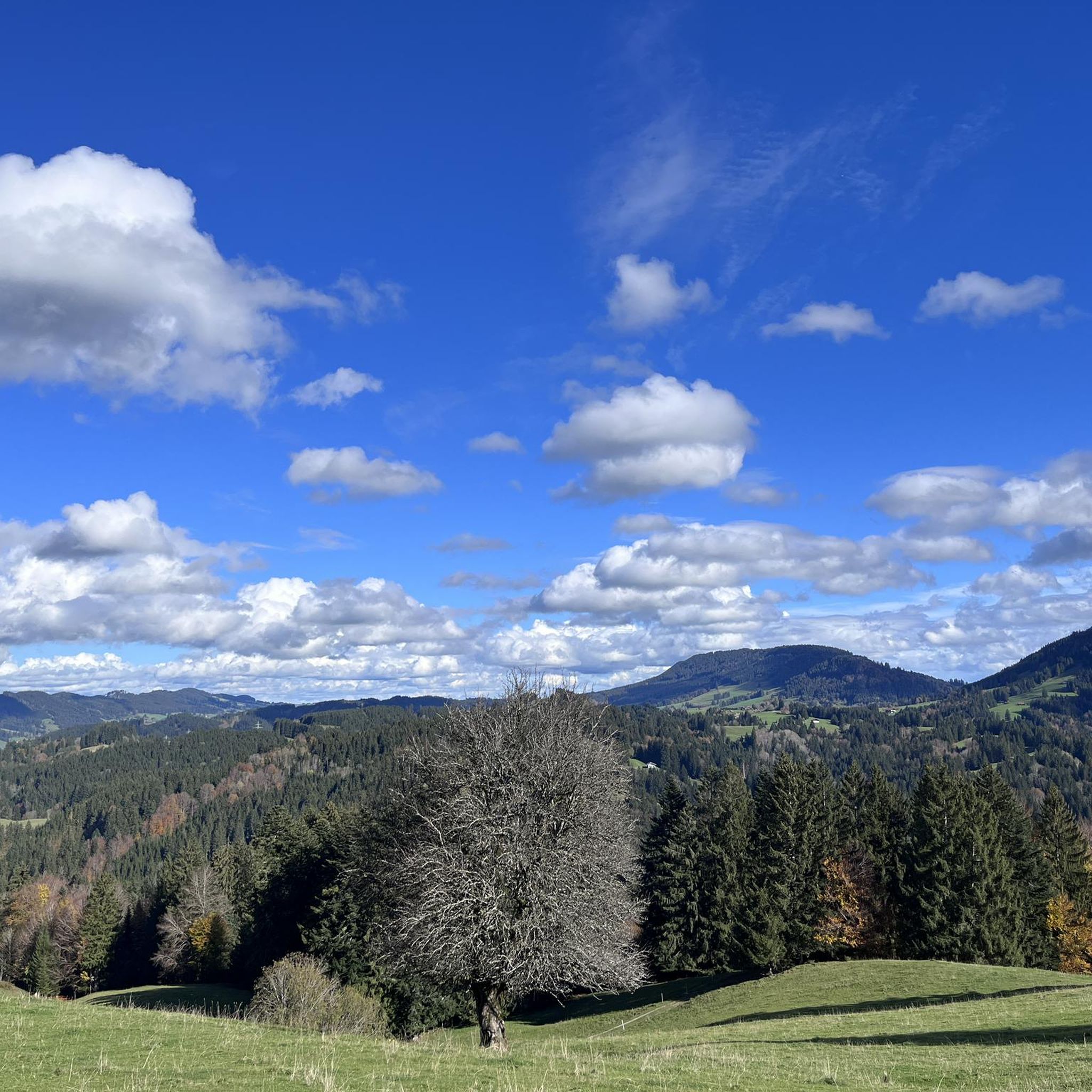
Road cycling around Grünenbach offers a diverse topography characterized by gently rolling hills, expansive valleys, and lush meadows. The region features dense forests, winding streams, and picturesque gorges, providing varied terrain for cyclists. Notable natural features include the Großer Alpsee and views towards the Nagelfluhkette mountain range. This landscape provides a network of cycling routes suitable for various skill and fitness levels.
Best road cycling routes around Grünenbach
- The most popular road cycling route is On the Sonnenrunde in West…
Last updated: May 15, 2026
5.0
(3)
63
riders
94.8km
04:21
1,060m
1,060m
Hard road ride. Very good fitness required. Some segments of this route may be unpaved and difficult to ride.
4.8
(56)
871
riders
54.6km
02:27
550m
550m
Moderate road ride. Good fitness required. Mostly well-paved surfaces and easy to ride.

Sign up for free
4.9
(32)
550
riders
70.0km
03:51
1,450m
1,450m
Hard road ride. Very good fitness required. Mostly well-paved surfaces and easy to ride.
4.5
(27)
251
riders
48.1km
02:19
620m
620m
Moderate road ride. Good fitness required. Mostly well-paved surfaces and easy to ride.
5.0
(5)
70
riders
Hard road ride. Very good fitness required. Mostly well-paved surfaces and easy to ride.
Get access to more routes and recommendations from other explorers.
Sign up for free
Already have an account?
Our route recommendations are based on thousands of hikes, rides, and runs completed by other people on komoot.
Start today with a free account
Your next adventure awaits.
Login or Signup
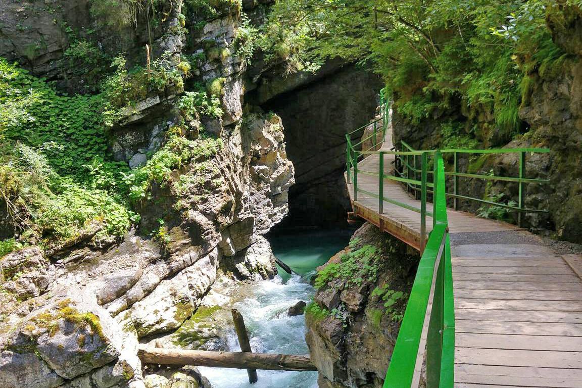
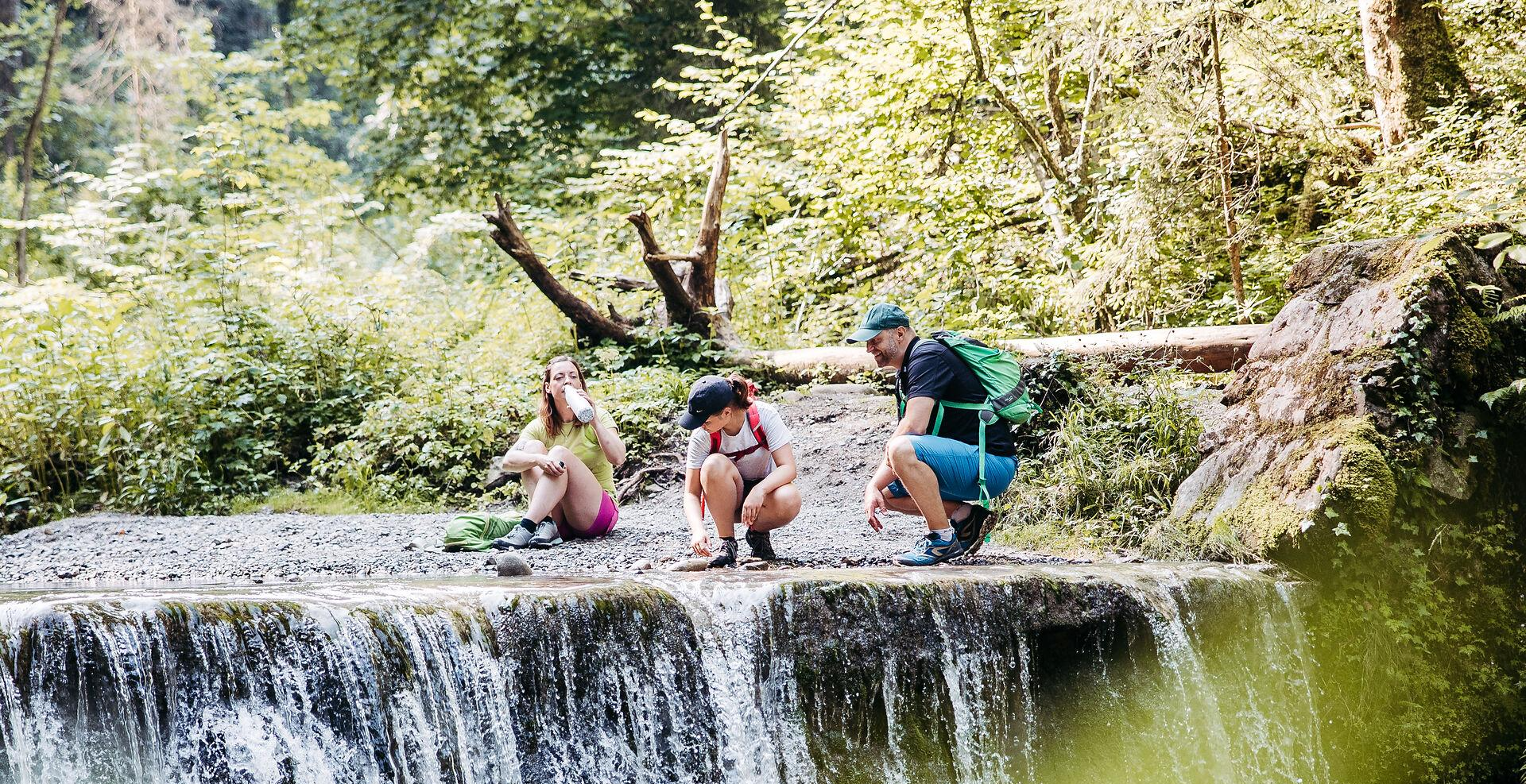
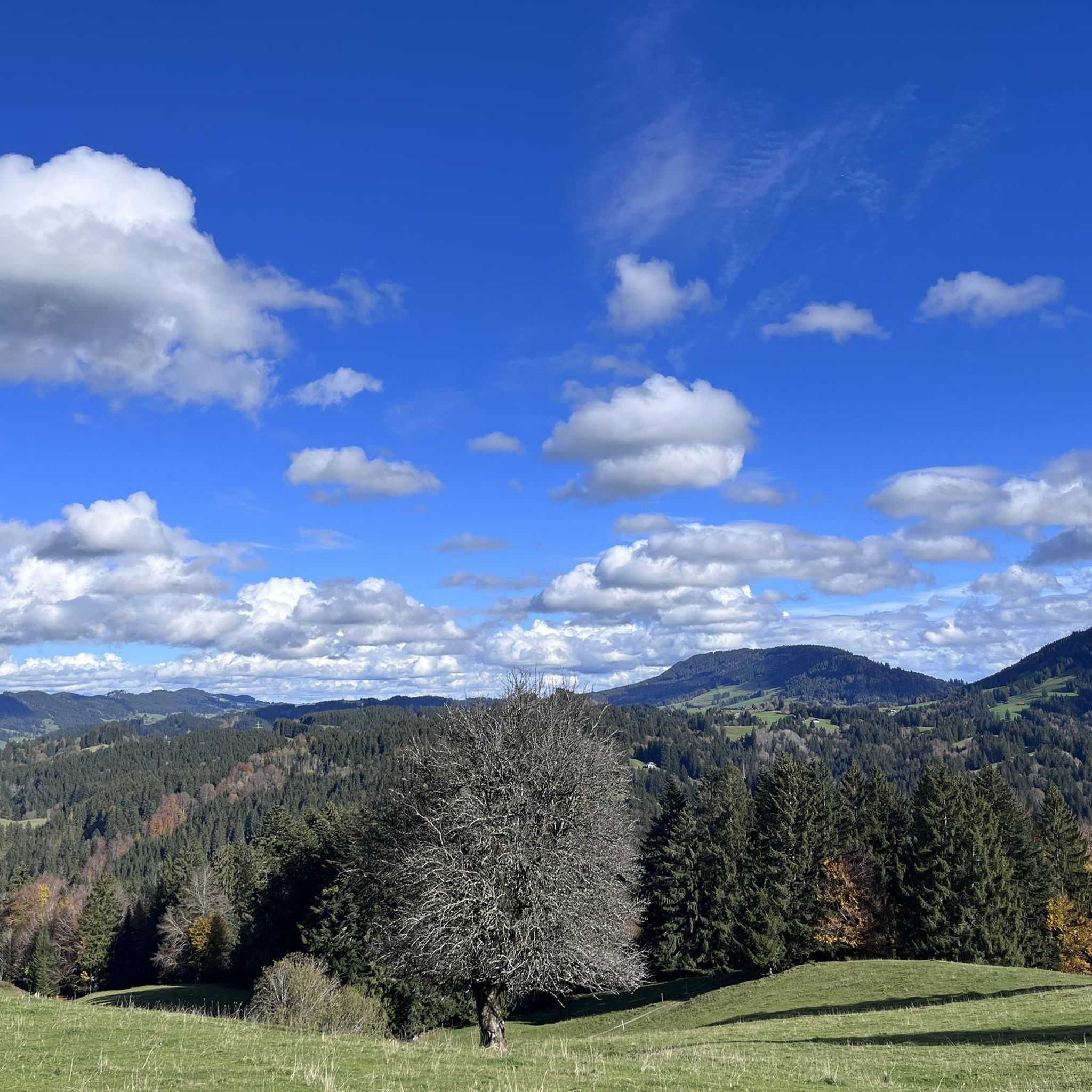
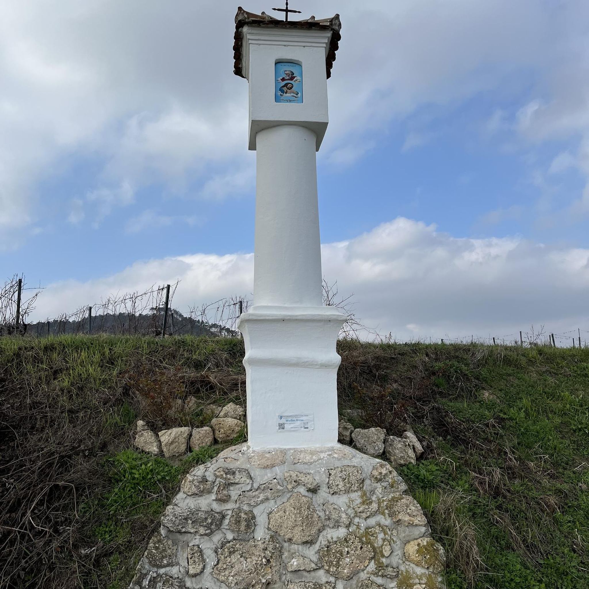
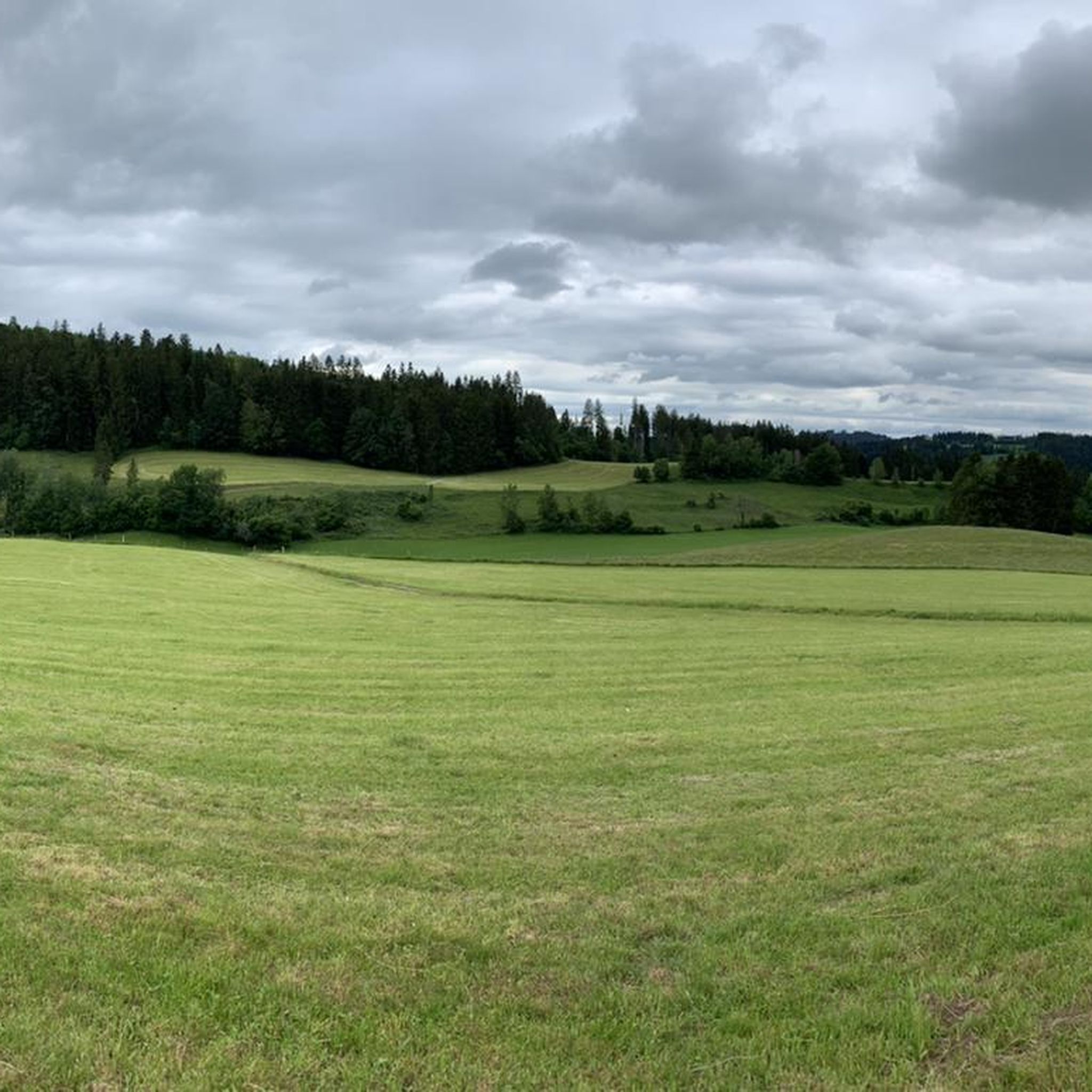
Other adventures around Grünenbach


Tips from the Community

Mega View from this Mega Street
1
0

Beautiful view of the Bregenzerwald, it is worth a stop
1
0

Yes, a dream landscape
0
0
Beautiful route and beautiful views - surface a bit rough
0
0

The border between Germany (Bavaria) and Austria (Vorarlberg) runs partially along the Eyenbach. The Eyenbach is a left tributary of the Rotach and forms the border in one section.
0
0

The effort is worth it with this magnificent view of the Swabian Sea
1
0
Mega view of the tri-border region
2
0
magnificent mountain panorama, great view
2
0
Frequently Asked Questions
How many road cycling routes are available around Grünenbach?
Grünenbach offers a wide selection of road cycling routes, with over 360 options available. These routes cater to various skill levels, including 55 easy, 225 moderate, and 80 difficult trails.
What kind of terrain can I expect when road cycling in Grünenbach?
The region around Grünenbach features a diverse topography, characterized by gently rolling hills, expansive valleys, and lush meadows. You'll also encounter dense forests, winding streams, and picturesque gorges. The terrain includes views towards the Nagelfluhkette mountain range, offering varied landscapes for cyclists.
What natural features or landmarks can I see while road cycling around Grünenbach?
Road cycling routes in Grünenbach often pass by stunning natural features. You can explore the dramatic Eistobel Waterfalls, where the Obere Argen river carves through a gorge, or the impressive Buchenegger Waterfalls. Many routes also offer scenic views of the Großer Alpsee and the Nagelfluhkette mountain range. For a cultural stop, consider visiting the Old Town of Isny im Allgäu.
Are there road cycling routes suitable for beginners or families in Grünenbach?
Yes, Grünenbach offers a good selection of routes for beginners and families. There are 55 easy road cycling routes, many of which feature well-paved paths with minimal elevation gain, perfect for a relaxed ride. The paved cycling path along the Großer Alpsee is a particularly pleasant option for a casual outing.
Are there challenging road cycling routes for experienced riders?
Absolutely. For experienced road cyclists seeking a challenge, Grünenbach provides 80 difficult routes. These can involve significant elevation gains, with some exceeding 3,000 feet over five hours. An example of a challenging route is the On the Sonnenrunde in West Allgäu, which covers nearly 95 km with over 1000 meters of ascent.
Can I find circular road cycling routes in Grünenbach?
Yes, many road cycling routes around Grünenbach are designed as loops, allowing you to start and end at the same point. A popular moderate loop is the North Shore of the Großer Alpsee – Konstanz Valley loop from Grünenbach, offering scenic views. Another option is the View of Lake Constance loop from Röthenbach (Allgäu).
What is the best time of year for road cycling in Grünenbach?
The region's diverse landscape is enjoyable throughout the warmer months. While specific seasonal recommendations depend on personal preference for weather and foliage, spring through autumn generally offers the most favorable conditions for road cycling in Grünenbach, with lush meadows and comfortable temperatures.
Are there places to stop for refreshments or breaks along the road cycling routes?
Yes, the Westallgäu region is known for its hospitality. Many routes pass through charming villages or near traditional alpine huts. For example, you might find refreshment stops near the Großer Alpsee or along routes that traverse the broader Allgäu region. Specific huts like Alpe Gschwenderberg or Pfarralpe Mountain Hut can be found in the vicinity.
Are there options for parking or public transport access for road cyclists in Grünenbach?
Grünenbach is well-regarded for its accessibility. While specific parking locations vary by route starting point, many trailheads and villages offer parking facilities. For public transport, the region is integrated into broader transport networks, making it possible to access various starting points for your road cycling adventures.
What do other road cyclists say about the routes in Grünenbach?
The road cycling routes around Grünenbach are highly rated by the komoot community, with an average score of 4.5 stars from over 900 reviews. Cyclists often praise the diverse topography, the scenic views of the Nagelfluhkette mountain range, and the well-maintained network of paths suitable for all ability levels.
Are there routes that offer scenic views of Lake Constance or the Alps?
Yes, several routes provide breathtaking panoramic views. The View of Lake Constance loop from Röthenbach (Allgäu) is specifically designed to offer distant vistas of Lake Constance. Additionally, views from elevated points like Laubenberg often encompass the Nagelfluhkette mountain range and the broader Westallgäu, providing stunning alpine scenery.
Can I find routes that avoid crowds, especially during peak season?
While popular routes can attract more visitors, the extensive network of over 360 road cycling routes in Grünenbach means there are always options to find quieter paths. Exploring some of the less-trafficked moderate or difficult routes, or venturing into the more remote parts of the Westallgäu, can help you enjoy a more serene cycling experience.
Most popular routes around Grünenbach
Most popular attractions around Grünenbach

Get inspired with the komoot mobile app


Explore more
Browse the best Road cycling routes in other regions.
