The 14 Most Amazing Peaks around Neu-Isenburg
Best mountain peaks around Neu-Isenburg are not typical towering mountains, as the geography of Neu-Isenburg is characterized by relatively low elevations. The town is situated in the Frankfurt Rhein-Main urban area, with an average elevation of approximately 128 meters. While the immediate area features gentle inclines rather than high peaks, the broader region includes the Taunus mountains to the north. Activities like hiking and mountain biking are possible in the wider Frankfurt region, utilizing these higher points for scenic views…
Last updated: August 4, 2026
View of the Frankfurt skyline from Lohrberg
Highlight • Viewpoint
Showing Translation
Tip by

Friedberger Warte
Highlight • Historical Site
From 2015 to 2017, the place at the waiting room was redesigned so …
Translated by Google •
Tip by

Sign up now to discover places like this
Get recommendations on the best single tracks, peaks, & plenty of other exciting outdoor places.
Sign up for free
Ebertsberg Summit
Highlight • Summit
Translated by Google •
Tip by

Dietzenbach Ebertsberg Summit Trail
Highlight (Segment) • Summit
The trails are relatively short, especially uphill.
But still great fun.
Translated by Google •
Tip by

Water Reservoir Hoher Berg (Heusenstamm)
Highlight • Monument
Translated by Google •
Tip by

Sign up for free to discover even more peaks around Neu-Isenburg.
Sign up for free
Already have an account?
Start today with a free account
Your next adventure awaits.
Login or Signup
Popular around Neu-Isenburg

Winter adventures by public transport – hikes for the whole family

By bike and train into the green - cycling Tours around the EUROBIKE

33 MTB trails through German forests

Fit in den Frühling – Die schönsten Laufrunden im Rhein-Main-Gebiet
Cycling around Neu-Isenburg
Running Trails around Neu-Isenburg
Hiking around Neu-Isenburg
Road Cycling Routes around Neu-Isenburg
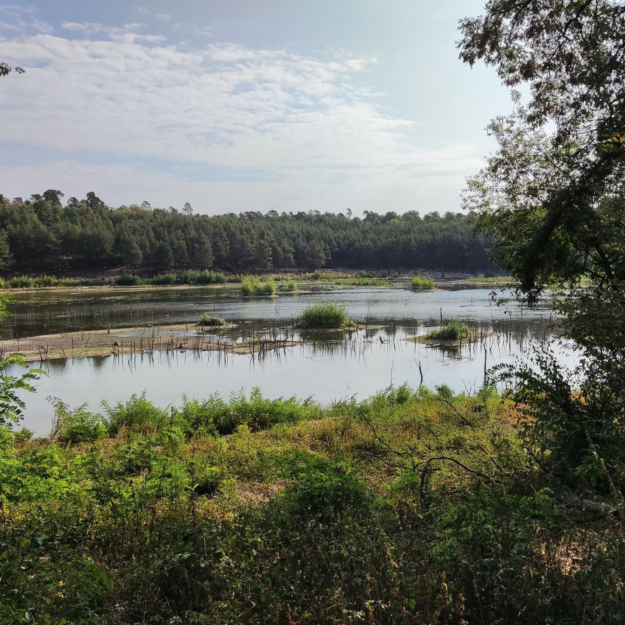
MTB Trails around Neu-Isenburg
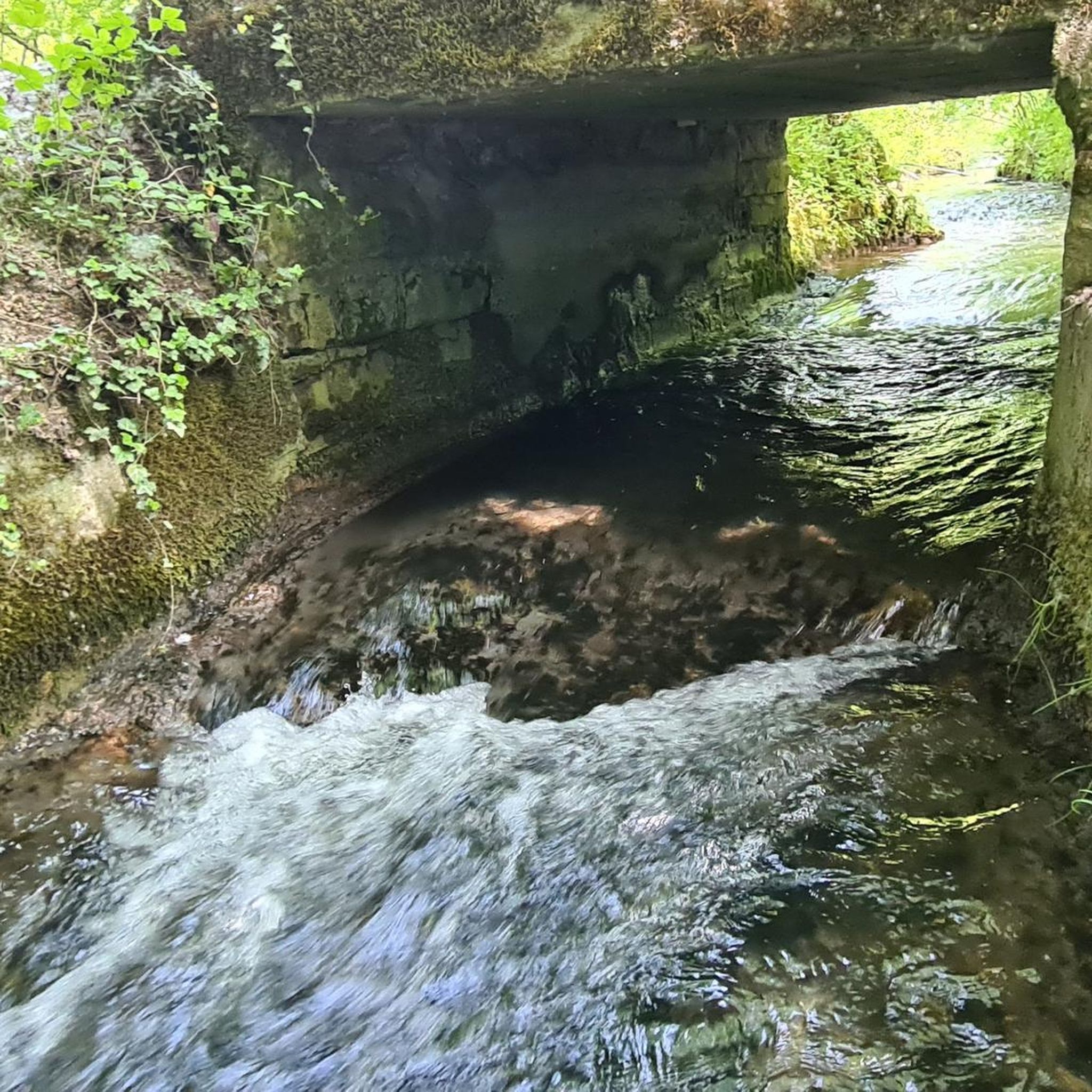
Gravel biking around Neu-Isenburg
Other adventures around Neu-Isenburg


Tips from the Community

Between the entrances to the current Friedberger Warte restaurant and the Wehrhof there is a walled-in draw well. Its base is made of natural stone, its body and the arch that covers it are made of red sandstone. The well opening is protected by a conical wooden roof.
1
0
The current Friedberger Warte was built in 1478 in late Gothic style, replacing a watchtower mentioned as early as 1350, as the last watchtower of the Frankfurt Landwehr on the Eulenberg, the highest point in Bornheim. The complex consists of a rectangular fortified courtyard with a rectangular floor plan measuring 22 by 28 meters. On the west side is the guardhouse with kitchen and well room. The most striking component is the slender defensive and watchtower with a slate roof. The Friedberger Warte was only once the scene of a military conflict: in 1546, the people of Frankfurt repelled imperial troops here during the Schmalkaldic War. In 1634, during the Thirty Years' War, the tower and fortified courtyard were set on fire by wandering Croats. The Friedberger Warte was rebuilt in 1637. It later served as a customs station and fire watch. A popular apple wine bar has been located here since 1815. The tower has served as a ventilation shaft for the sewer system since 1885.
0
0

The trail can also be ridden with a conventional “biobike”. However, at the summit there is no view for which one would be “rewarded”.
2
0

There is a barbecue area, a restaurant and a playground for the little ones. And on top of that a wonderful view.
9
0
It is 185 meters high and Frankfurt's local mountain
10
0

The Friedberger Warte was built in the late Gothic style in 1478 as a lookout for the Frankfurt Landwehr on the Eulenberg, the highest point in Bornheim. The complex consists of a rectangular fortified yard with a rectangular floor plan measuring 22 by 28 metres. On the west side is the guard house with kitchen and fountain room. The most striking component is the slender defense and watchtower with a slate-covered roof.
5
0

Nice cider bar. In summer you can sit wonderfully in the courtyard of the waiting room.
3
0

Small trail paradise on the Ebertsberg. Apparently it's also cherished and cared for. But don't overdo it. Nice practice area. Especially with the eMTB, the uphills are at least as much fun as the small downhills. So with eMTB twice the trail fun.
3
0
Frequently Asked Questions
What kind of 'mountain peaks' can I expect around Neu-Isenburg?
Neu-Isenburg is situated in a relatively low-elevation area, so the 'peaks' are more accurately described as elevated points, hills, or viewpoints rather than traditional towering mountains. These locations offer scenic views, forest trails, and opportunities for outdoor activities, often reaching elevations around 128 to 203 meters.
Which elevated points offer the best views of the Frankfurt skyline?
For a stunning panoramic view of the Frankfurt skyline, visit View of the Frankfurt skyline from Lohrberg. This location is also notable for being the last wine-growing area in Frankfurt.
Are there any historical elevated sites near Neu-Isenburg?
Yes, Friedberger Warte is a significant historical site. It was built in 1478 as a watchtower for the Frankfurt Landwehr on the Eulenberg, which was the highest point in Bornheim at the time.
Where can I find trails suitable for mountain biking near Neu-Isenburg?
The Ebertsberg Summit is a popular spot for mountain bikers, known for its beautiful single trails for both ascent and descent. It's one of the highest elevations in the Offenbach district.
Are there family-friendly elevated spots to visit?
Absolutely! Both the View of the Frankfurt skyline from Lohrberg and Friedberger Warte are considered family-friendly and offer enjoyable experiences for all ages.
What kind of outdoor activities can I do near these elevated points?
The region around Neu-Isenburg offers a variety of outdoor activities. You can find numerous routes for cycling, gravel biking, and running. These routes often incorporate the elevated terrain and forest areas for scenic and engaging experiences.
What is the <a href="https://www.komoot.com/highlight/289672" target="_blank" rel="noopener">Dietzenbach Ebertsberg Summit Trail</a> like?
The Dietzenbach Ebertsberg Summit Trail is appreciated for its relatively short but fun uphill sections, making it a worthwhile side trip for those exploring the area and looking for a bit of a challenge.
Can you tell me more about the <a href="https://www.komoot.com/highlight/3405797" target="_blank" rel="noopener">Water Reservoir Hoher Berg (Heusenstamm)</a>?
The Water Reservoir Hoher Berg (Heusenstamm) is located on a 159-meter high elevation. This area was historically a trachyte quarry, with the stone used for many buildings in the surrounding communities. Today, it features a water tank and forest trails.
What do visitors enjoy most about the elevated points around Neu-Isenburg?
Visitors frequently highlight the beautiful panoramic views, especially of the Frankfurt skyline, the enjoyable single trails for biking and hiking, and the overall natural beauty of the forest areas. The combination of accessible elevated terrain and diverse outdoor activities is a major draw.
Are there any challenging trails for experienced hikers or bikers?
Yes, the Dietzenbach Ebertsberg Summit Trail is noted for its challenging sections, particularly its steep uphill climbs, which can be a good test for experienced hikers and bikers.
What is the highest point directly within Neu-Isenburg?
While Neu-Isenburg itself is generally low-lying, its highest point reaches approximately 203 meters (666 feet). These are more gentle inclines rather than prominent peaks.
Is it possible to reach these elevated points using public transport?
While some locations like Lohrberg are reachable by car or bike, specific public transport options vary. It's advisable to check local transport schedules for routes to the general vicinity of your chosen destination.
Most popular routes around Neu-Isenburg
Most popular attractions around Neu-Isenburg

Get inspired with the komoot mobile app


Explore more
See even more amazing summits around Neu-Isenburg with these guides:
