The best walks and hikes around Großbrembach
4.6
(931)
3,154
hikers
262
hikes
Hiking trails around Großbrembach traverse a landscape characterized by gentle hills, stream valleys, and open rural areas. The region offers a network of paths suitable for exploring the local countryside and villages. Elevation changes are generally modest, making many routes accessible for various fitness levels. The terrain often includes a mix of agricultural fields, small woodlands, and paths alongside waterways like the Zulauf Stream.
Best hiking trails around Großbrembach
- The most popular hiking route is St. Wigbert Church – Ford…
Last updated: October 11, 2026
4.5
(6)
20
hikers
Moderate hike. Good fitness required. Easily-accessible paths. Suitable for all skill levels.
4.5
(6)
22
hikers
Moderate hike. Good fitness required. Easily-accessible paths. Suitable for all skill levels.

4.0
(4)
10
hikers
Moderate hike. Good fitness required. Easily-accessible paths. Suitable for all skill levels.
8
hikers
Moderate hike. Good fitness required. Easily-accessible paths. Suitable for all skill levels.
5.0
(2)
8
hikers
Easy hike. Great for any fitness level. Easily-accessible paths. Suitable for all skill levels.
Get access to more routes and recommendations from other explorers.
Already have an account?
Our route recommendations are based on thousands of hikes, rides, and runs completed by other people on komoot.
Start today with a free account
Your next adventure awaits.
Tips from the Community

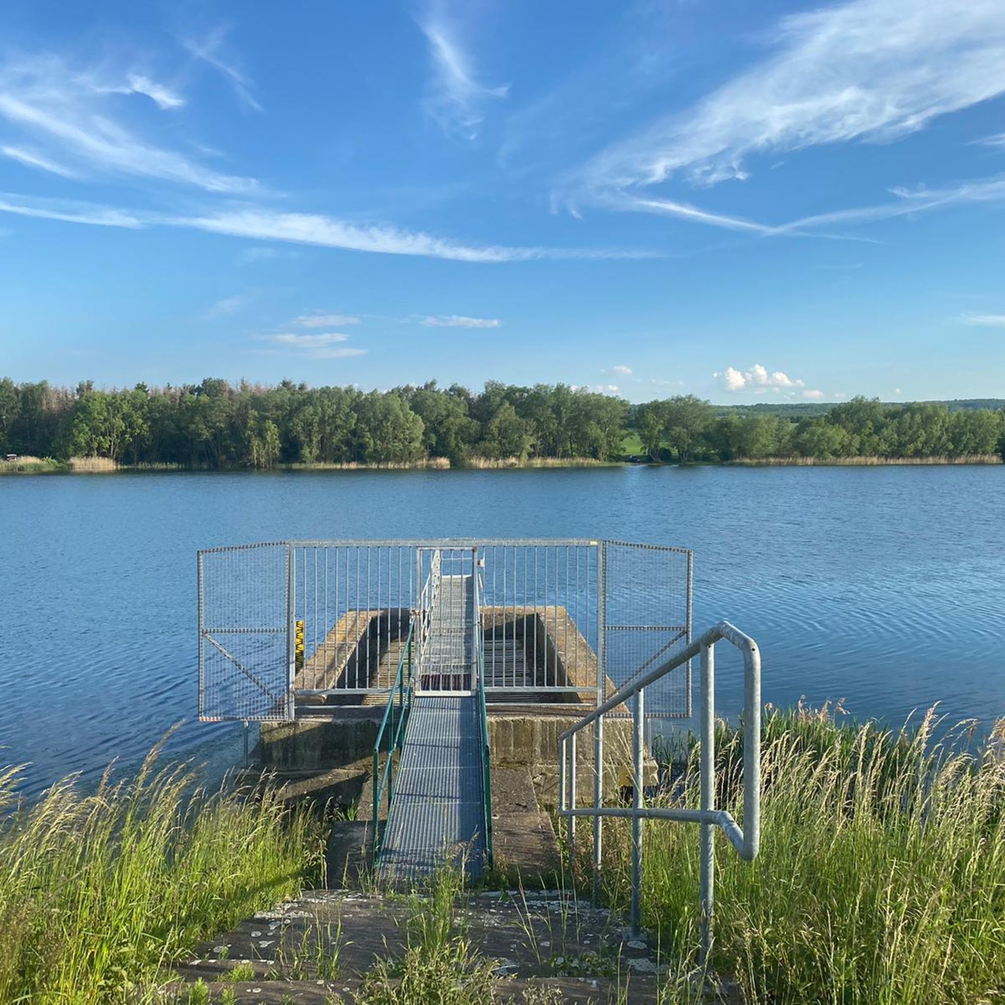
Swimming is forbidden in this lake.
0
0
There is a large amount of wild garlic here. You can make wonderful pesto or herb butter from it.
0
0

Evangelical Lutheran church from 1501.
0
0

After a conversation we continue walking to look at the wide fields again and after a while we reach Nermsdorf. The place was first mentioned in 876, and the path leads us to St. Laurentius Church. It is open, we go in and it is kept simple. There is also an exhibition here with lots of information. https://youtu.be/nFbLNkERv8c
0
0
Almost like a monument, a reference to the Way of St. James, we get our hiking stamp in the house opposite. After a chat, we continue walking, looking at the wide fields again, and after a while we reach Nermsdorf. Here is our entire hike https://youtu.be/nFbLNkERv8c
0
0
We reach Oberreißen, the church is magnificent in the light, we walk through the town. Seen on our hike https://youtu.be/_M_yFB9L0mc
0
0

Opinions may be divided as to the location of this beautiful bench. On the one hand, it is relatively close to the ICE bridge, but on the other hand, we were able to take a nice little rest there in the midday sun.
0
0
If you walk around the entire lake, you will pass under this ICE bridge twice, which is part of the Erfurt - Halle/Saale route.
1
0
Frequently Asked Questions
How many hiking trails are there in Großbrembach?
There are over 260 hiking trails around Großbrembach, offering a wide range of options for different preferences and fitness levels. The region's landscape of gentle hills and stream valleys makes many routes accessible.
Are there easy hiking trails suitable for beginners in Großbrembach?
Yes, Großbrembach offers many easy hiking trails perfect for beginners or those looking for a relaxed walk. With over 130 easy routes, you can find paths with modest elevation changes that traverse agricultural fields and small woodlands. An example is the Ford Across the Zulauf Stream loop from Großbrembach, an easy 3.8-mile (6.1 km) route.
Can I find challenging hikes around Großbrembach?
While Großbrembach is known for its gentle terrain, there are a few longer, more challenging routes for experienced hikers. These routes often cover greater distances and may include more varied landscapes. For example, the Oberreißen Village Church – Camposanto Cemetery Buttstädt loop from Buttelstedt is a moderate 10.2-mile (16.5 km) trail that takes about 4 hours 18 minutes to complete.
Are there any circular hiking routes in Großbrembach?
Yes, many of the hiking trails around Großbrembach are circular routes, allowing you to start and end at the same point. A popular option is the St. Wigbert Church – Ford Across the Zulauf Stream loop from Großbrembach, which is 5.7 miles (9.1 km) long and passes by historical landmarks.
What kind of terrain can I expect on hikes around Großbrembach?
The terrain around Großbrembach is characterized by gentle hills, stream valleys, and open rural areas. You'll often find yourself walking through agricultural fields, small woodlands, and alongside waterways like the Zulauf Stream. Elevation changes are generally modest, making for pleasant and accessible walks.
Are the hiking trails in Großbrembach suitable for families with children?
Yes, many trails in Großbrembach are well-suited for families due to their gentle nature and modest elevation. The region's mix of woodlands and open fields provides varied scenery without being overly strenuous. Look for the 'easy' rated trails for the most family-friendly options.
Can I bring my dog on the hiking trails in Großbrembach?
Most hiking trails in Großbrembach are dog-friendly, offering plenty of open spaces and natural paths for your canine companion. It's always recommended to keep your dog on a leash, especially when passing through agricultural areas or near livestock, and to respect local regulations.
What are some interesting places to see or landmarks near the hiking trails?
The Großbrembach area is rich in historical and natural points of interest. You can explore several castles, such as Ettersburg Castle, Ordensburg Liebstedt, or Ollendorf Moated Castle. Other notable sites include the Buchenwald Memorial and the Prinzenschneise Nature Reserve, offering a blend of history and nature.
Where can I park when hiking in Großbrembach?
Parking is generally available in and around the villages that serve as starting points for many trails, including Großbrembach itself. Look for designated parking areas near village centers or trailheads. It's advisable to check local signage for any specific parking restrictions.
What is the best time of year to go hiking in Großbrembach?
The best time to hike in Großbrembach is typically from spring through autumn (April to October). During these months, the weather is generally mild, and the landscape is vibrant. Spring brings blooming fields, while autumn offers beautiful foliage. Summer is also pleasant, though some open sections might be warm.
What do other hikers say about the trails in Großbrembach?
The hiking trails in Großbrembach are highly rated by the komoot community, with an average score of 4.6 stars from over 800 reviews. Hikers often praise the peaceful rural scenery, the well-maintained paths, and the accessibility of routes for various fitness levels. Many appreciate the opportunity to explore charming villages and historical sites along the way.
Are there options for winter hiking in Großbrembach?
Winter hiking in Großbrembach is possible, especially on days with light snow or clear conditions. The gentle terrain means most paths remain accessible. However, some trails might be muddy or icy, so appropriate footwear is recommended. Always check local weather conditions before heading out.
Most popular routes around Großbrembach
Most popular attractions around Großbrembach

Get inspired with the komoot mobile app


Explore more
Browse the best Hikes in other regions.
