The best running trails in San Raymundo Jalpan
4.6
(30)
342
runners
14
runs
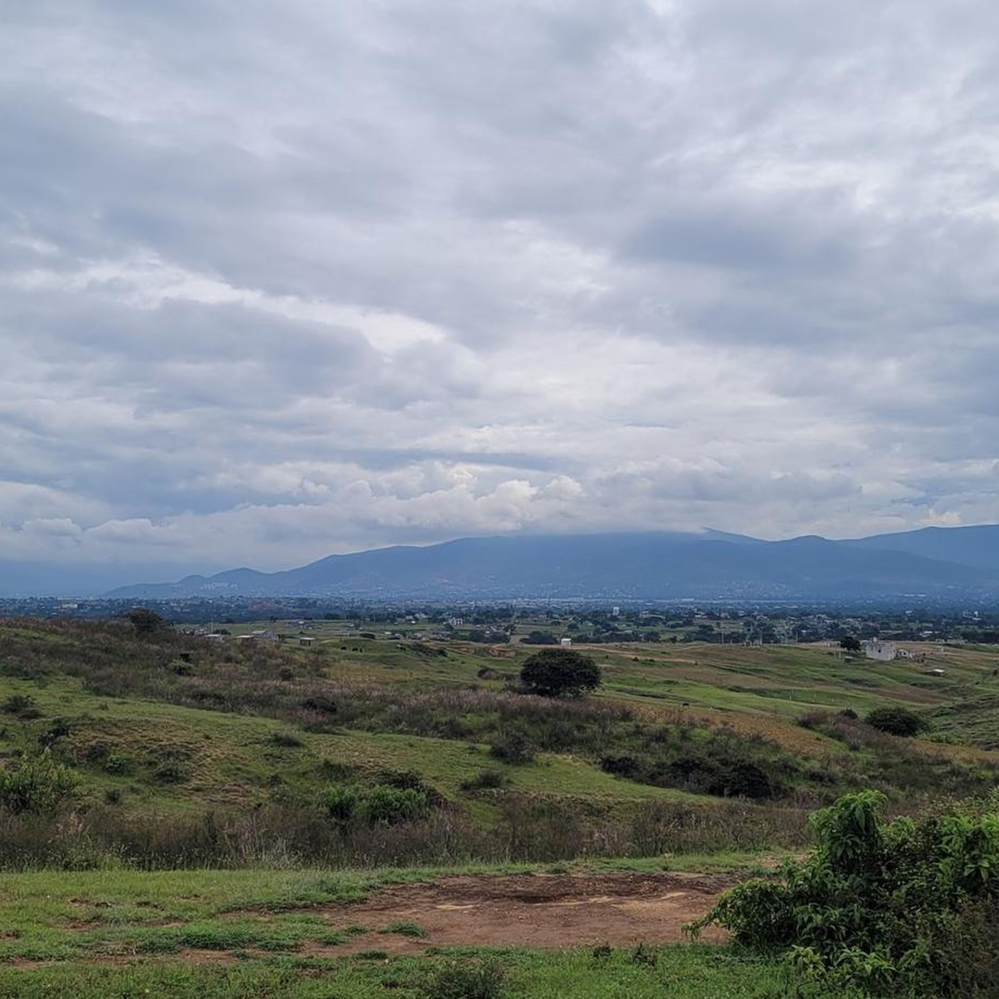
Jogging in San Raymundo Jalpan provides access to diverse natural landscapes and green spaces within the Oaxaca region. The area features a network of trails suitable for various fitness levels, often set amidst lush scenery. Its proximity to the foothills of the Sierra Madre mountains offers opportunities for hill running. This environment provides a refreshing setting for runners seeking to connect with nature.
Best jogging routes in San Raymundo Jalpan
- The most popular jogging route is Running loop from Oaxaca…
Last updated: July 29, 2026
4.0
(2)
25
runners
Moderate run. Good fitness required. Mostly paved surfaces. Suitable for all skill levels.
5.0
(1)
12
runners
5.30km
00:38
140m
140m
Hard run. Good fitness required. Sure-footedness, sturdy shoes and alpine experience required.

Sign up for free
19
runners
5.44km
00:34
10m
10m
Moderate run. Good fitness required. Mostly paved surfaces. Suitable for all skill levels.
5.0
(2)
14
runners
Moderate run. Good fitness required. Mostly paved surfaces. Suitable for all skill levels.
4.0
(1)
7
runners
6.50km
00:42
50m
50m
Moderate run. Good fitness required. Mostly paved surfaces. Suitable for all skill levels.
Get access to more routes and recommendations from other explorers.
Sign up for free
Already have an account?
Our route recommendations are based on thousands of hikes, rides, and runs completed by other people on komoot.
Start today with a free account
Your next adventure awaits.
Login or Signup
Popular around San Raymundo Jalpan


Tips from the Community

The steps take you to Oaxaca's local mountain, Cerro del Fortín, just outside the center. From the top you are rewarded with a magnificent view of Oaxaca. However, you should not go up in the dark.
0
0
Frequently Asked Questions
How many running routes are available in San Raymundo Jalpan?
Komoot features 14 diverse running routes in San Raymundo Jalpan. These trails cater to various fitness levels, from moderate loops to more challenging runs with significant elevation.
Are there easy jogging routes suitable for beginners or families?
Yes, there is one easy jogging route available. Additionally, many of the 8 moderate routes, such as the Running loop from Santa Cruz Xoxocotlán, offer varied terrain without extreme difficulty, making them suitable for those seeking a less strenuous experience. The region's natural green spaces provide a pleasant backdrop for family-friendly runs.
What kind of terrain can I expect on the running trails in San Raymundo Jalpan?
The running trails in San Raymundo Jalpan offer a mix of natural landscapes and green spaces. You can expect varied terrain, from paths winding through lush environments to routes that incorporate urban sections. Some trails, particularly those closer to the Sierra Madre foothills, will feature significant elevation changes, providing a good challenge.
Are there any circular running routes in the area?
Yes, many of the routes in San Raymundo Jalpan are designed as loops. For example, the Fuente Jardín Socrates loop from Oaxaca City is a popular moderate 5.1-mile (8.3 km) circular path, and the Fuente de las Ocho Regiones – Fuente de exalumnos loop from Oaxaca City offers a moderate 3.6-mile (5.8 km) option.
What is the best time of year to go jogging in San Raymundo Jalpan?
San Raymundo Jalpan's climate, being part of Oaxaca, generally offers pleasant conditions for outdoor activities. The region is known for its natural beauty, suggesting that cooler, drier months would be ideal to avoid the heat and potential rainy season impacts on trails. Early mornings are often recommended for comfortable temperatures.
Are there opportunities for challenging runs with significant elevation gain?
Absolutely. San Raymundo Jalpan is situated near the foothills of the Sierra Madre mountains, offering excellent opportunities for hill running. There are 5 difficult routes available, including the Running loop from Oaxaca City, which is a 4.8-mile (7.7 km) trail featuring nearly 300 meters of elevation gain.
What natural features or landmarks might I see while running?
The region surrounding San Raymundo Jalpan is characterized by natural beauty, lush landscapes, and green spaces. While running, you might encounter views of canyons and mountains, and opportunities for birdwatching. The trails are set within an environment that emphasizes nature and wildlife, providing a refreshing backdrop for your run.
How can I get to the running trailheads using public transport?
While specific public transport routes directly to all trailheads within San Raymundo Jalpan are not widely documented, its proximity to Oaxaca City suggests that local buses or colectivos (shared taxis) could be an option for reaching the general area. Many routes, like the Fuente de exalumnos – Fuente suroeste del Zócalo loop from Oaxaca City, start from Oaxaca City, which is well-served by public transport.
Is parking available near the jogging routes?
Information on specific parking facilities directly at every trailhead in San Raymundo Jalpan is not readily available. However, for routes originating from Oaxaca City or other more developed areas, street parking or public parking lots would likely be accessible. It's advisable to check local parking regulations upon arrival.
What do other runners say about the trails in San Raymundo Jalpan?
The running routes in San Raymundo Jalpan are highly regarded by the komoot community, with an impressive average score of 4.6 stars from over 20 reviews. Runners frequently praise the diverse natural landscapes and green spaces, as well as the variety of trails suitable for different ability levels.
Are there any less crowded running options in the area?
While specific 'less crowded' routes are not explicitly identified, the region's focus on natural scenery and trails suggests that many paths offer a peaceful experience away from urban bustle. Exploring routes slightly further from the main city centers or during off-peak hours can help you find quieter stretches.
Where can I find refreshments or accommodation after a run?
San Raymundo Jalpan and the wider Oaxaca region offer various options for refreshments and accommodation. You can find cafes, restaurants, and hotels in nearby towns or in Oaxaca City. Some eco-lodges in the mountain settings near San Raymundo Jalpan also provide amenities for visitors.
What is the typical duration for a running route in this region?
The duration of running routes in San Raymundo Jalpan varies depending on the distance and difficulty. For example, the Fuente Jardín Carbajal loop from Oaxaca City, a 3.3-mile (5.3 km) difficult trail, typically takes about 39 minutes, while longer routes like the Fuente Jardín Socrates loop from Oaxaca City (5.1 miles / 8.3 km, moderate) can take around 58 minutes.
Most popular routes in San Raymundo Jalpan

Get inspired with the komoot mobile app


Explore more
Browse the best Running Trails & Routes in other regions.
