The 13 Most Amazing Peaks around Eglwyswrw
Best mountain peaks around Eglwyswrw, a village in Pembrokeshire, Wales, are found within the nearby Preseli Hills. Eglwyswrw itself is situated amidst rolling hilly ground, reaching an elevation of up to 224 meters. The Preseli Hills offer significant natural beauty, historical insights, and panoramic views, making the area an excellent base for exploration. These peaks provide diverse experiences, from challenging hikes to historical exploration.
Best mountain peaks around Eglwyswrw
- The most popular mountain peaks is Foel Cwmcerwyn summit, a…
Last updated: October 7, 2026
Carningli Mountain
Highlight • Viewpoint
Tip by

Foel Cwmcerwyn summit
Highlight • Natural Monument
Tip by

Sign up now to discover places like this
Get recommendations on the best single tracks, peaks, & plenty of other exciting outdoor places.
Foel Drygarn Hillfort and Cairns
Highlight • Viewpoint
Tip by

Dinas Head
Highlight • Natural Monument
Tip by
Foel Eryr Summit Cairn
Highlight • Viewpoint
Tip by
Sign up for free to discover even more peaks around Eglwyswrw.
Already have an account?

Tips from the Community

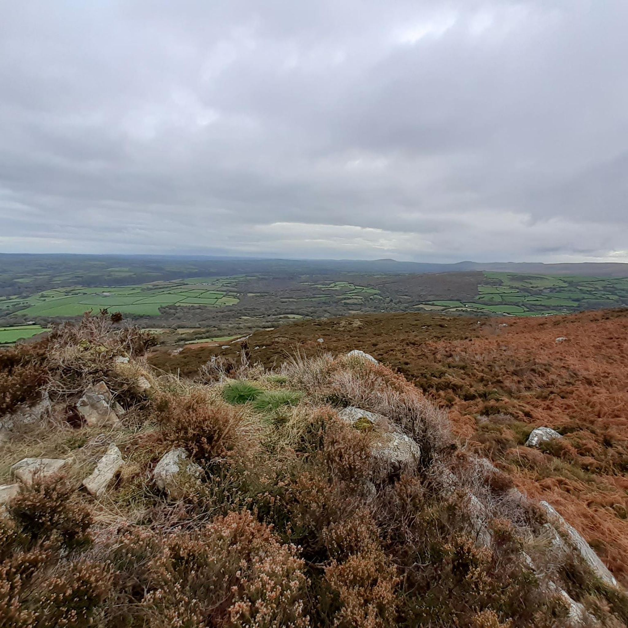
Views all round, to the sea, Cardigan Bay, north and Milford Haven in south.
0
0

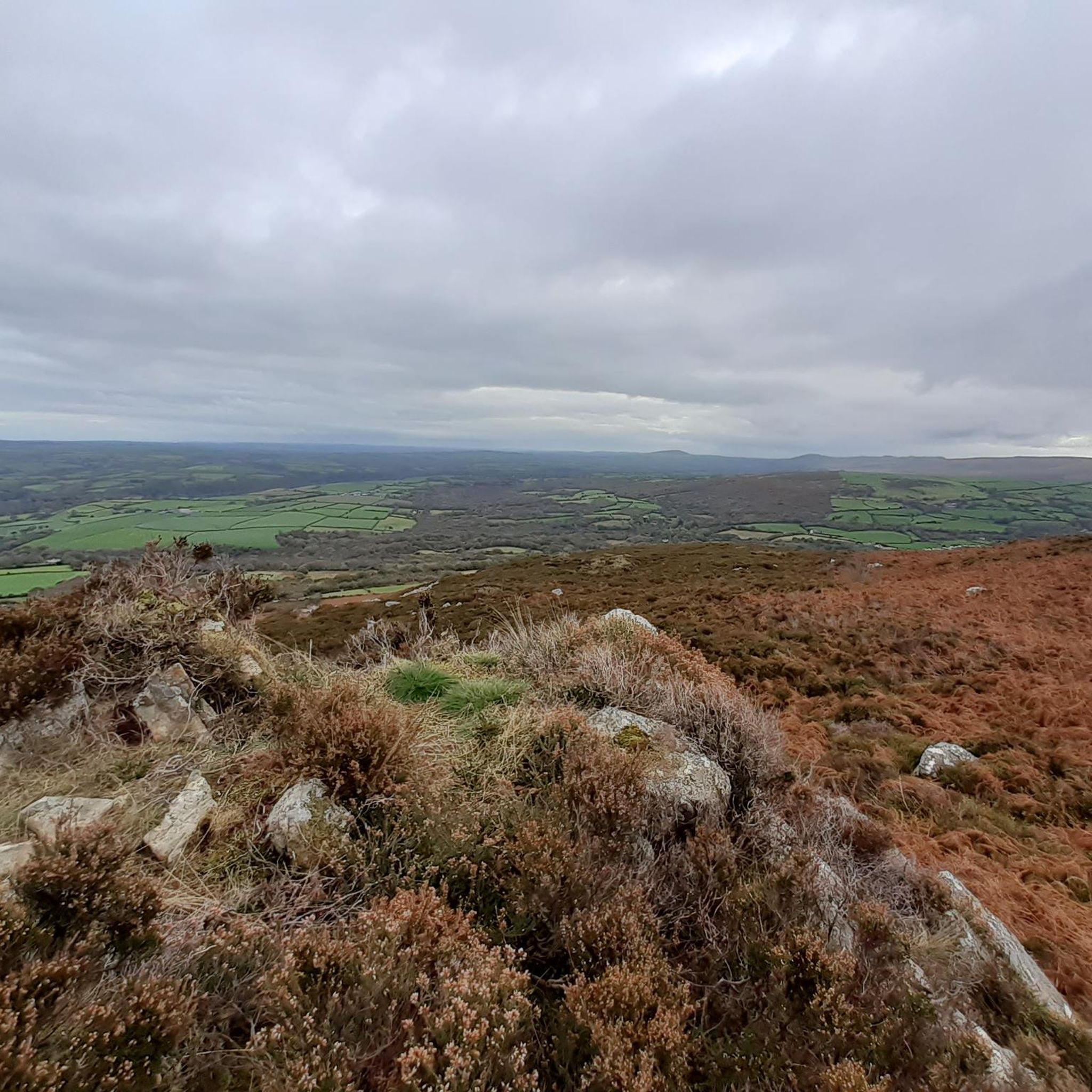
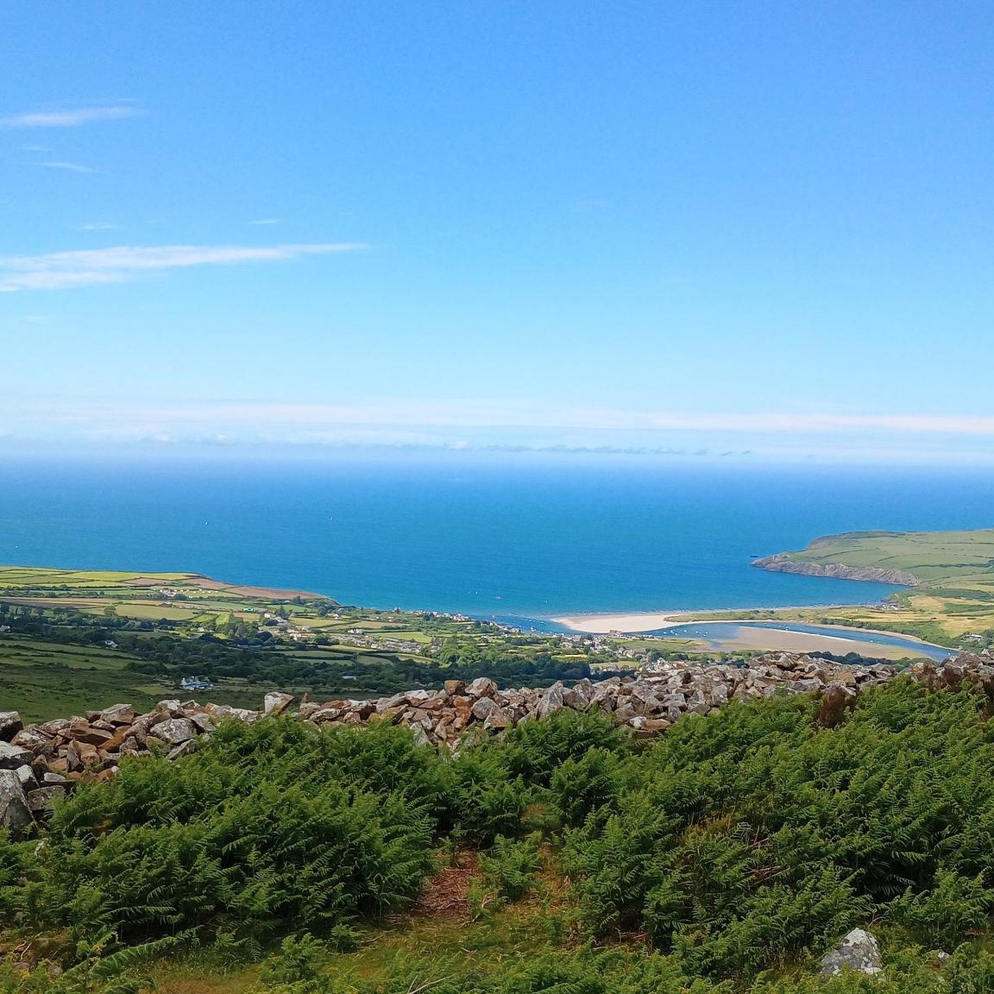
Mynydd Carningli, or Carningli for short (or "Carn Ingli"), is almost 350 meters high and around 450 million years old. It is a long-extinct volcano that has been eroded by sea, rainwater, and wind. Today, only the core of Carningli remains. It was first documented as "Mons Angelorum" (Mountain of the Angels) in the 12th century. Saint Brynach is said to have lived nearby in a small community of monks around 450 AD and often climbed the mountain to speak with the angels. Those who climb the mountain today, enjoying the peace and the surrounding views, can easily imagine that the saint—like other people—sought proximity to the angels there.
0
0

A trig point with a lovely view. Nice place to sit half way around the Dinas headland loop and take in the scenery and have a break.
0
0

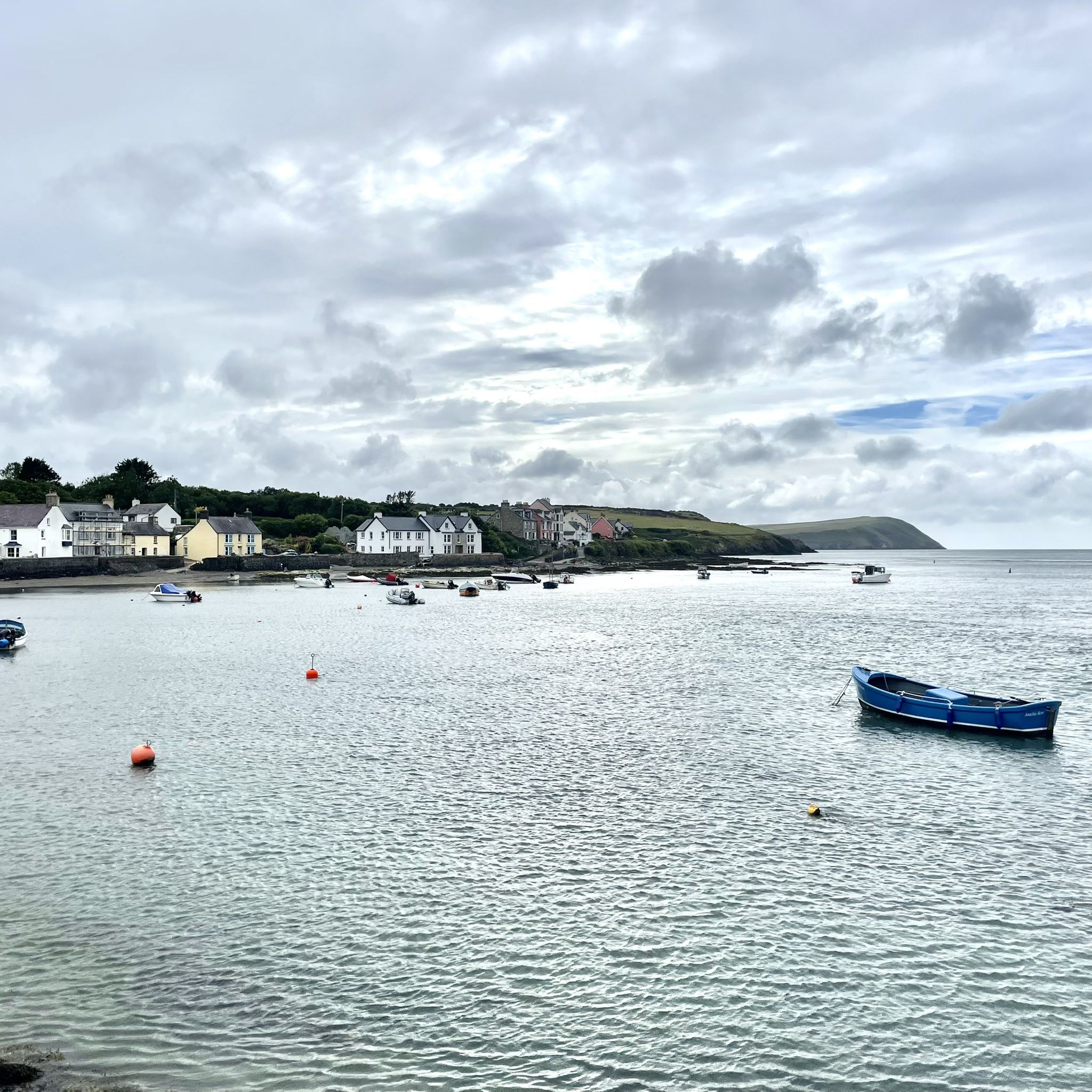
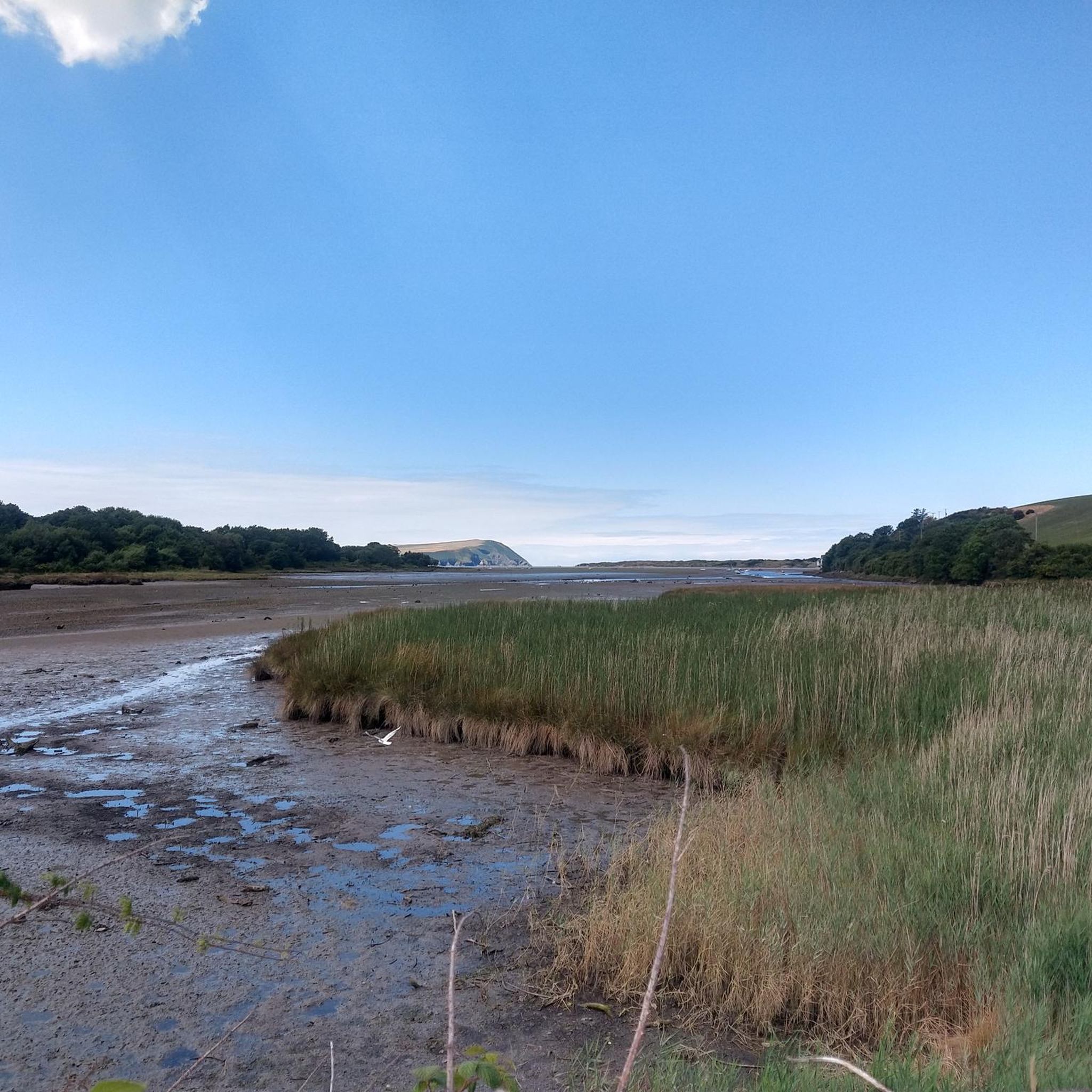
Dinas Head on Dinas Island has a trig point at 142 m above the sea. The views along the coast in either direction are great, as is the Irish Sea in front of you. There is a nice coast path loop around Dinas Island with this as the highest point.
1
0
Lovely viewpoint and peak. On a clear day you can see right across Newport and the Preselli's. There is a free car park on Ffordd bedd Morris Road or you can park at Newport Bridge.
1
0

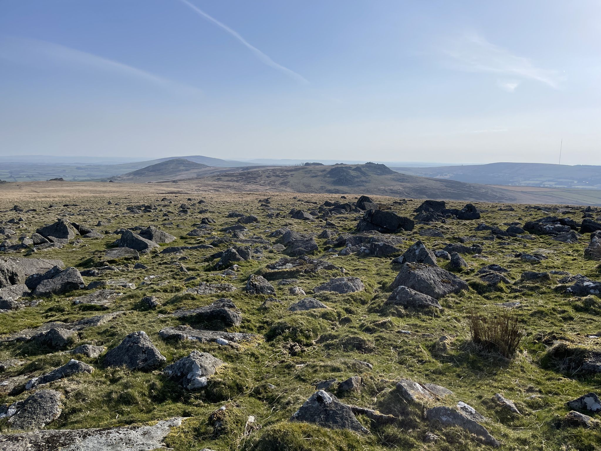
Foel Cwmcerwyn is the highest point of the Preseli Hills at 1,759 feet (536m). It also marks Pembrokeshire's County Top and is a UK Marilyn so you can tick it off a few lists if you're hill bagging. From the north, it's an unassuming and fairly gentle (if rather boggy) approach. The south face footpath is a little steeper, with better panoramic views.
5
0

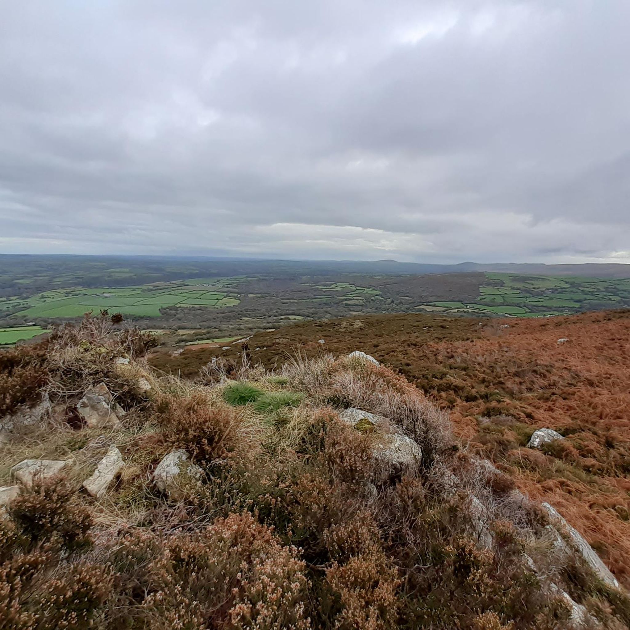
Because Foel Eryr summit is so easily reached from the nearby Bwlch-gwynt car park to the east, allowing nearly all of the climbing to be done in the car, it's easy to lose the true sense of the scale of the hill and its place in the landscape. Plan a circular walk to really appreciate a Preseli gem. That said if time is short, the reward for a 15 minute walk can be some outstanding views - on the best days you will be able to spot Lundy to the South, Ireland to the West, Snowdonia to the North and Brecon Beacons to the East.
2
0
Frequently Asked Questions
Which mountain peaks offer the most expansive views in the Preseli Hills?
For truly sweeping vistas, head to Foel Cwmcerwyn summit. As the highest point of the Preseli Hills, it provides extensive views stretching to the sea, Cardigan Bay to the north, and Milford Haven to the south. Another excellent viewpoint is Carningli Mountain, where on a clear day, you can see across Newport and the Preseli's.
Are there any mountain peaks with historical significance near Eglwyswrw?
Yes, Foel Drygarn Hillfort and Cairns is a remarkable historical site. This impressive hillfort dates from the late Bronze Age or early Iron Age and is topped with three prominent cairns and numerous hut circles that you can explore. It offers a fascinating glimpse into ancient settlements alongside magnificent panoramic views.
What are the best options for coastal views from a mountain peak?
Dinas Head is ideal for coastal views. Located on Dinas Island, its trig point at 142 meters above sea level provides exceptional views along the coastline in both directions and across the Irish Sea. It's also part of a scenic coastal path loop, perfect for a walk.
Are there any family-friendly mountain walks around Eglwyswrw?
Yes, Foel Eryr Summit Cairn is known for being family-friendly. It's easily reached from the nearby Bwlch-gwynt car park, making it accessible for nearly all ages. A short 15-minute walk can reward you with outstanding views, and planning a circular walk can help you truly appreciate this Preseli gem.
What outdoor activities can I do near the mountain peaks around Eglwyswrw?
The area offers a variety of outdoor activities. For cycling enthusiasts, there are numerous routes, including the 'Preseli Hills loop - Pembrokeshire Coast National Park' for touring bikes, or the 'Llys-y-Frân Reservoir Cycle Trail' for mountain biking. You can find more details and routes in our guides for Cycling around Eglwyswrw, MTB Trails around Eglwyswrw, and Road Cycling Routes around Eglwyswrw.
What makes the Preseli Hills unique for mountain peak exploration?
The Preseli Hills, accessible from Eglwyswrw, offer a unique blend of natural beauty, historical significance, and rewarding views. While not as high as some major Welsh mountains, they provide diverse experiences, from challenging hikes to exploring ancient hillforts and enjoying stunning coastal panoramas, all within a relatively compact area.
What do visitors enjoy most about the mountain peaks near Eglwyswrw?
Visitors frequently praise the magnificent panoramic views from the summits, the historical intrigue of sites like Foel Drygarn, and the overall natural beauty of the Preseli Hills. The opportunity for 'hill bagging' on peaks like Foel Cwmcerwyn also appeals to many, along with the chance to spot wildlife and enjoy peaceful walks.
Are there any challenging mountain hikes in the Eglwyswrw area?
While many routes offer moderate challenges, the southern approach to Foel Cwmcerwyn summit presents a steeper climb with more expansive panoramic views, offering a more strenuous option for experienced hikers. The 'Preseli Hills loop - Pembrokeshire Coast National Park' cycling route is also rated as difficult, indicating challenging terrain in the area.
Can I find cafes or places for refreshments near the mountain trails?
Yes, there are options for refreshments. For example, Tafarn Sinc Pub in Rosebush village is a unique pub and restaurant that opens after 12 pm, and it's often mentioned by visitors exploring the Preseli Hills. You might also find local cafes in nearby villages like Crymych.
What should I wear when hiking the mountain peaks around Eglwyswrw?
Given the varied terrain and potential for boggy sections, especially on the northern approach to Foel Cwmcerwyn, it's advisable to wear sturdy, waterproof hiking boots. Layered clothing is recommended to adapt to changing weather conditions, as well as waterproof outer layers. Even on clear days, the summits can be exposed and windy.
Is it possible to reach these mountain peaks using public transport?
While Eglwyswrw itself is a village, public transport options to the immediate trailheads of the Preseli Hills peaks can be limited. It's generally recommended to have personal transport for easier access to car parks and starting points for hikes. However, local bus services might connect to some of the larger villages surrounding the hills, from where you could potentially start longer walks.
Are the mountain peaks around Eglwyswrw dog-friendly?
Many of the trails and open access land in the Preseli Hills are dog-friendly, but it's crucial to keep dogs under close control, especially around livestock. Always follow the Countryside Code, which advises keeping dogs on a lead near farm animals and ground-nesting birds. Check specific trail guidelines if available for any restrictions.
Most popular attractions around Eglwyswrw

Get inspired with the komoot mobile app


Explore more
See even more amazing summits around Eglwyswrw with these guides:
