The best running trails around Penrhiwceiber
4.6
(8)
2,041
runners
161
runs
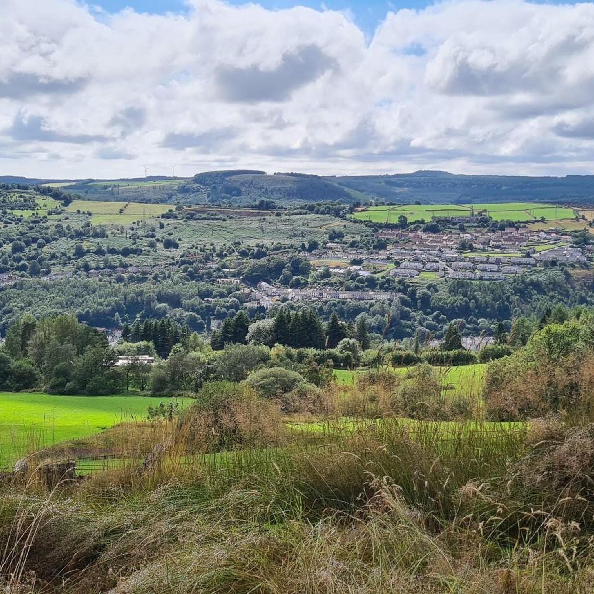
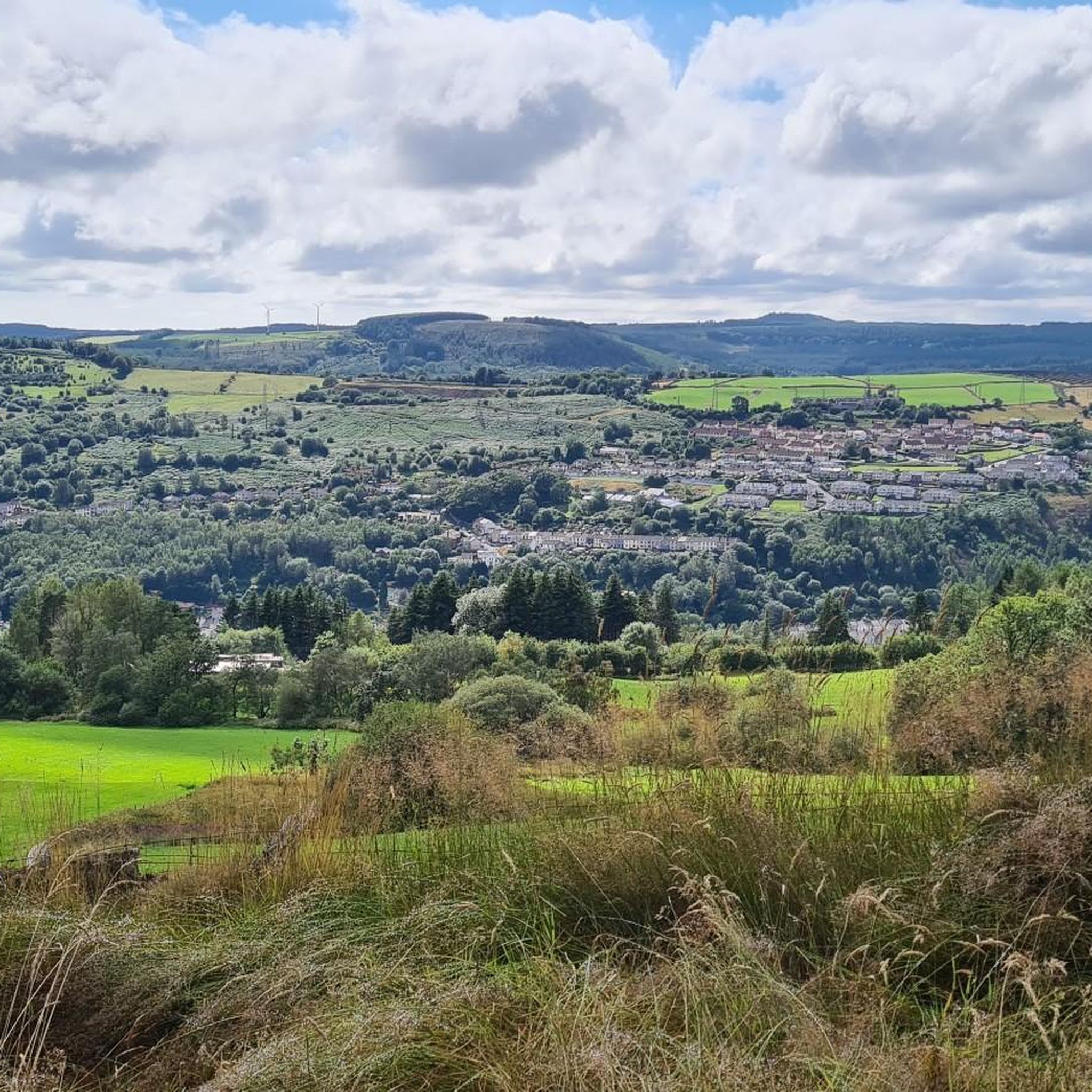
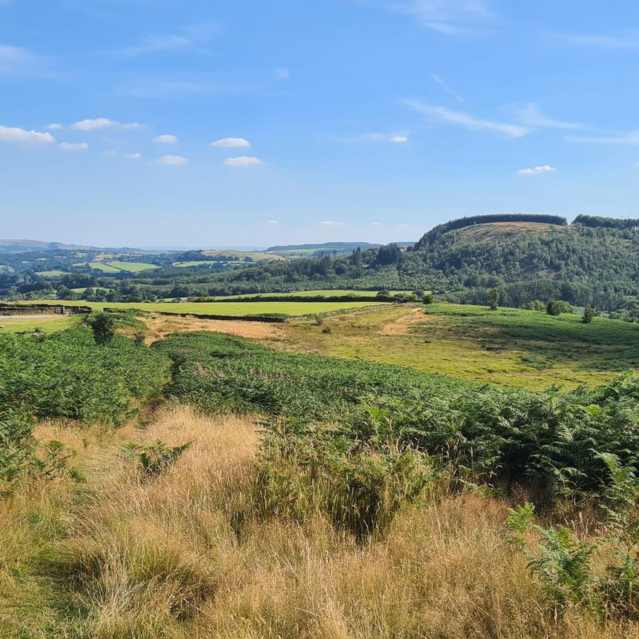
Jogging routes around Penrhiwceiber traverse the diverse landscapes of the steep-sided Cynon Valley. The area is characterized by challenging valley slopes, significant woodlands, and unique coal spoil grasslands that have transformed into vibrant ecosystems. Elevated points offer panoramic views, while former tramways and viaducts provide accessible, flatter running paths.
Best jogging routes around Penrhiwceiber
- The most popular jogging route is Running loop from Mountain Ash, a 5.5 miles (8.8 km) trail that takes about 55 minutes to complete. This…
Last updated: August 16, 2026
29
runners
8.81km
00:55
50m
50m
Moderate run. Good fitness required. Mostly paved surfaces. Suitable for all skill levels.
21
runners
18.3km
01:54
100m
100m
Hard run. Very good fitness required. Mostly paved surfaces. Suitable for all skill levels.

Sign up for free
20
runners
24.8km
02:38
260m
260m
Hard run. Very good fitness required. Mostly paved surfaces. Suitable for all skill levels.
17
runners
31.0km
03:14
260m
260m
Hard run. Very good fitness required. Mostly paved surfaces. Suitable for all skill levels.
7
runners
5.94km
00:37
50m
50m
Moderate run. Good fitness required. Mostly paved surfaces. Suitable for all skill levels.
Get access to more routes and recommendations from other explorers.
Sign up for free
Already have an account?
Our route recommendations are based on thousands of hikes, rides, and runs completed by other people on komoot.
Start today with a free account
Your next adventure awaits.
Login or Signup

Tips from the Community

Titanic rescue history linked to this location. Worth a visit if you are in the area.
0
0

Pontygwaith Bridge is a historic, Grade II-listed stone humpback bridge that spans the River Taff near Edwardsville and Treharris, south of Merthyr Tydfil, Wales. Revered for its striking architecture and its setting within the Pontygwaith Nature Reserve, the bridge stands as a prominent icon of the region's industrial heritage. 1. History and Origins Ancient Crossings: Records indicate a river crossing has existed at this precise location as far back as the 1540s. The Ironworks Connection: A wooden bridge originally stood here to carry worker traffic across the river to a small ironworks established in 1583 by Sussex ironmaster Anthony Morley. The current name, Pontygwaith, literally translates to "Bridge of the Ironworks". The 1811 Stone Build: The wooden structure was replaced in 1811 by the beautiful, durable masonry structure seen today. 2. Architectural Features According to the official Cadw Listed Buildings Report, the bridge is registered as a structure of "exceptional character" due to its distinct construction: The Arch: It features a single stone arch built with a remarkably steep rise of 4.8 metres and a wide 16.8-metre span. Materials: It was meticulously assembled using local Pennant Sandstone rubble and thin, long cut stone voussoirs across the arch ring. Restoration: The main arch was heavily repaired and reconstructed by the Mid Glamorgan County Council in 1993, earning it a prestigious commendation from the Civic Trust for historical preservation. 3. Pop Culture & The Taff Trail Today Today, the bridge serves as a major focal point along the Taff Trail (National Cycle Network Route 8). It is a highly popular stopping point for cyclists and hikers to set up a picnic or take photographs. The bridge also gained television fame when it was used as a filming location for the BBC fantasy series Merlin. It served as the exact backdrop for the "Beauty and the Beast" episode, where a character has a secret picnic with a troll directly beneath the stone archway.
0
0

A remnant of Merthyr's past. This bridge carried a railway line that either took you through a tunnel to Aberdare or sent you north towards Cefn Coed and on to Brecon via Torpantau. Under the bridge was the Merthyr to Cardiff Glamorganshire canal which carried the produce of Cyfarthfa iron works to the ports of Cardiff which was then shipped all over the world.
1
0
Lovely path to ride on. A gentle incline and suitable for most abilities
0
0
Some great views of the valley below once you get on the viaduct
0
0

A lovely hard packed trail, tucked away from the often busy Taff and Trevethic trails, the path follows the Taff for a good few km's, before coming to an end. great views of the autumn colours on the hills above too.
0
0

This is a nice stone bridge along the cyclepath just outside Merthyr Tydfil which makes a pretty spot to stop and take a picture.
1
0

Absolutely loved the Taff Trail and it's contrasting scenery, starting in the mountains and Reservoirs of the Brecon Beacons through the working towns of the valleys and into the urban streets of Cardiff City. Fantastic contrast of landscapes industrial past and present. This trail is a must visit if you are in the area.
0
0
Frequently Asked Questions
What kind of terrain can I expect on running routes around Penrhiwceiber?
Jogging routes in Penrhiwceiber offer a diverse range of terrain. You'll find challenging ascents and descents on the steep valley slopes and through woodlands, as well as unique coal spoil grasslands that have transformed into vibrant ecosystems. For flatter, more accessible runs, sections of the Taff Trail and former tramways, now converted into footpaths, are excellent options.
Are there running trails suitable for beginners in Penrhiwceiber?
Yes, Penrhiwceiber offers a variety of running routes for all skill levels. While many routes feature significant elevation changes, there are also easier, shorter loops with minimal climbs. Out of 172 total routes, 12 are classified as easy, making them ideal for beginners or those seeking a less strenuous run.
Can I find circular jogging routes in the Penrhiwceiber area?
Absolutely. Many of the running routes around Penrhiwceiber are designed as loops, allowing you to start and finish in the same location. An example is the moderate Waterfall – Nant Glydach Reservoir and Dam loop from Penrhiwceiber, which offers a scenic circular experience.
What natural features or landmarks can I see while running in Penrhiwceiber?
Penrhiwceiber's routes are rich with natural beauty and historical landmarks. You can encounter stunning waterfalls, such as those along the Gillies Trail, and picturesque reservoirs like the Nant Glydach Reservoir and Dam. Elevated points like Mynydd Twyn Brynbychan offer panoramic views, and you might even spot the unique Giant's Bite viewpoint.
Are there any dog-friendly running trails in Penrhiwceiber?
Many of the trails in and around Penrhiwceiber are suitable for running with dogs, offering open spaces and natural environments. However, it's always recommended to keep dogs under control, especially in areas with livestock or near wildlife habitats. Check specific route details on komoot for any local regulations or restrictions.
What is the best time of year to go jogging in Penrhiwceiber?
The diverse landscapes of Penrhiwceiber can be enjoyed year-round. Spring brings wildflowers to the coal spoil grasslands, while autumn offers beautiful foliage in the woodlands. Summer provides longer daylight hours, and even winter runs can be rewarding, though some higher elevation paths might require more caution due to weather conditions. Always check local weather forecasts before heading out.
Are there any running routes that feature waterfalls or reservoirs?
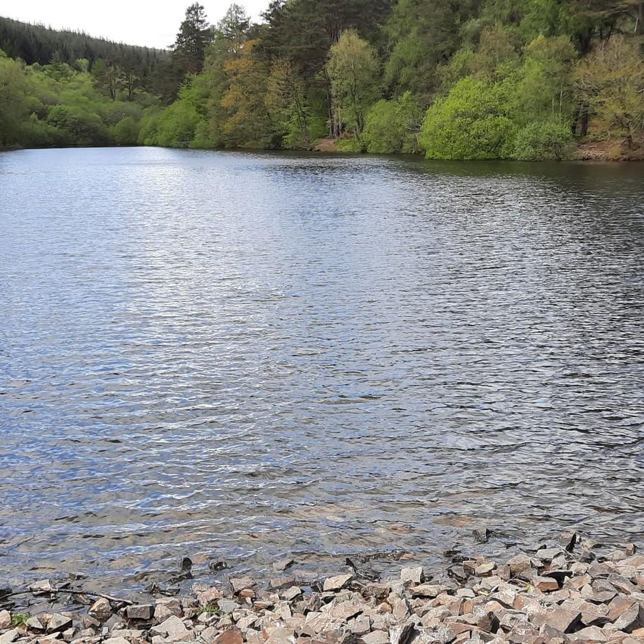
Yes, the region is known for its water features. The Waterfall – Nant Glydach Reservoir and Dam loop from Penrhiwceiber is a moderate route that takes you past a beautiful waterfall and the reservoir. The Gillies Trail also features a lovely waterfall along its path.
How many running routes are available around Penrhiwceiber?
There are over 170 dedicated jogging routes around Penrhiwceiber listed on komoot, catering to various fitness levels and preferences. This extensive network ensures plenty of options for exploring the Cynon Valley's unique landscape.
What do other runners think about the trails in Penrhiwceiber?
The running routes in Penrhiwceiber are highly regarded by the komoot community, boasting an average rating of 4.5 stars from numerous reviews. Runners often praise the varied terrain, the scenic views from elevated points, and the blend of natural beauty with accessible, repurposed industrial paths.
Are there any long-distance or challenging running routes in Penrhiwceiber?
For those seeking a challenge, Penrhiwceiber offers several difficult routes with significant elevation gains. For instance, the Bradley's Coffee Shop loop from Mountain Ash is a difficult 11.4-mile path, and the Pontypridd Stone Bridge – Old Bridge, Pontypridd loop from Penrhiwceiber covers 10.8 miles with substantial climbing.
Can I access the Taff Trail from Penrhiwceiber for running?
Yes, the well-known Taff Trail is easily accessible from the Penrhiwceiber area. Sections of the Taff Trail are excellent for running, offering mostly off-road or dedicated cycle paths, providing a relatively flat and accessible route for joggers.
Are there any family-friendly running paths suitable for children?
While many routes involve steep terrain, there are easier, shorter loops available that could be suitable for families with active children. The converted former tramways offer flatter, more accessible paths. Always check the route's difficulty and length on komoot to ensure it matches your family's capabilities.
Where can I find information about parking or public transport for Penrhiwceiber's trails?
Information regarding parking facilities near specific trailheads can often be found in the route descriptions on komoot. For public transport, local bus services connect Penrhiwceiber to surrounding towns. For detailed local transport information, you may wish to consult the Rhondda Cynon Taf Tour Heritage website, which provides insights into the area.
Most popular attractions around Penrhiwceiber

Get inspired with the komoot mobile app


Explore more
Browse the best Running Trails & Routes in other regions.
