The best MTB trails around Grolsheim
4.6
(2230)
7,066
riders
456
rides
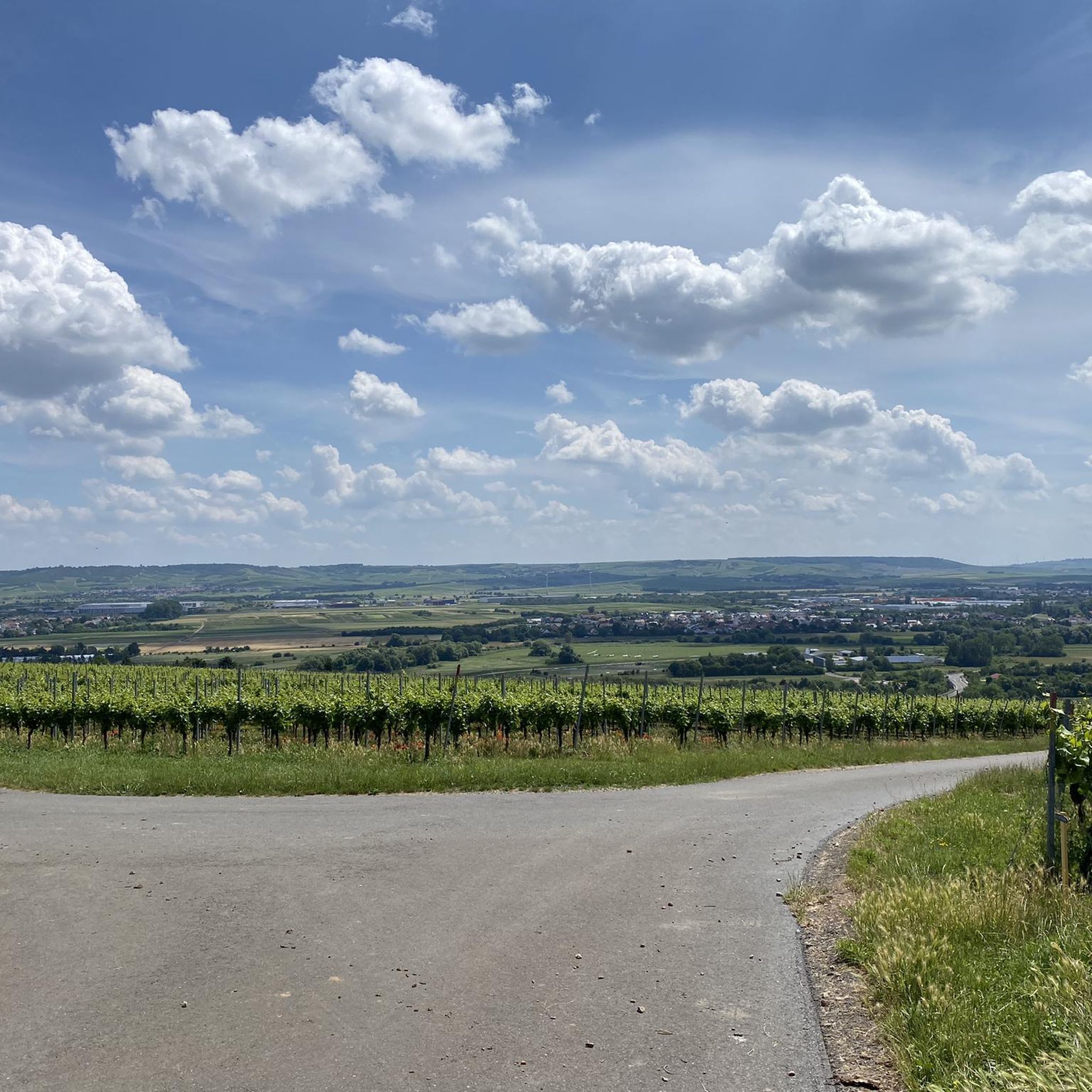
Mountain biking around Grolsheim offers diverse terrain across the Mainz-Bingen district. The region features rolling hills, extensive vineyards, and fields, providing varied landscapes for mountain bike trails. Routes often traverse the Nahe valley and areas near the Rhine, characterized by a mix of natural features and historical sites. The topography includes both flatter sections and more challenging climbs.
Best mountain bike trails around Grolsheim
- The most popular mountain bike trail is Morgenbach Valley Trail – Rheinstein Castle loop from Laubenheim…
Last updated: October 4, 2026
4.4
(9)
35
riders
34.8km
02:53
540m
540m
Moderate mountain bike ride. Good fitness required. Suitable for all skill levels.
5.0
(8)
12
riders
27.1km
02:25
460m
460m
Moderate mountain bike ride. Good fitness required. Advanced riding skills necessary.

5.0
(2)
13
riders
29.9km
01:53
270m
270m
Easy mountain bike ride. Great for any fitness level. Suitable for all skill levels.
4.7
(10)
24
riders
44.9km
02:45
360m
360m
Moderate mountain bike ride. Good fitness required. Suitable for all skill levels.
5.0
(2)
11
riders
Easy mountain bike ride. Great for any fitness level. Suitable for all skill levels.
Get access to more routes and recommendations from other explorers.
Already have an account?
Our route recommendations are based on thousands of hikes, rides, and runs completed by other people on komoot.
Start today with a free account
Your next adventure awaits.
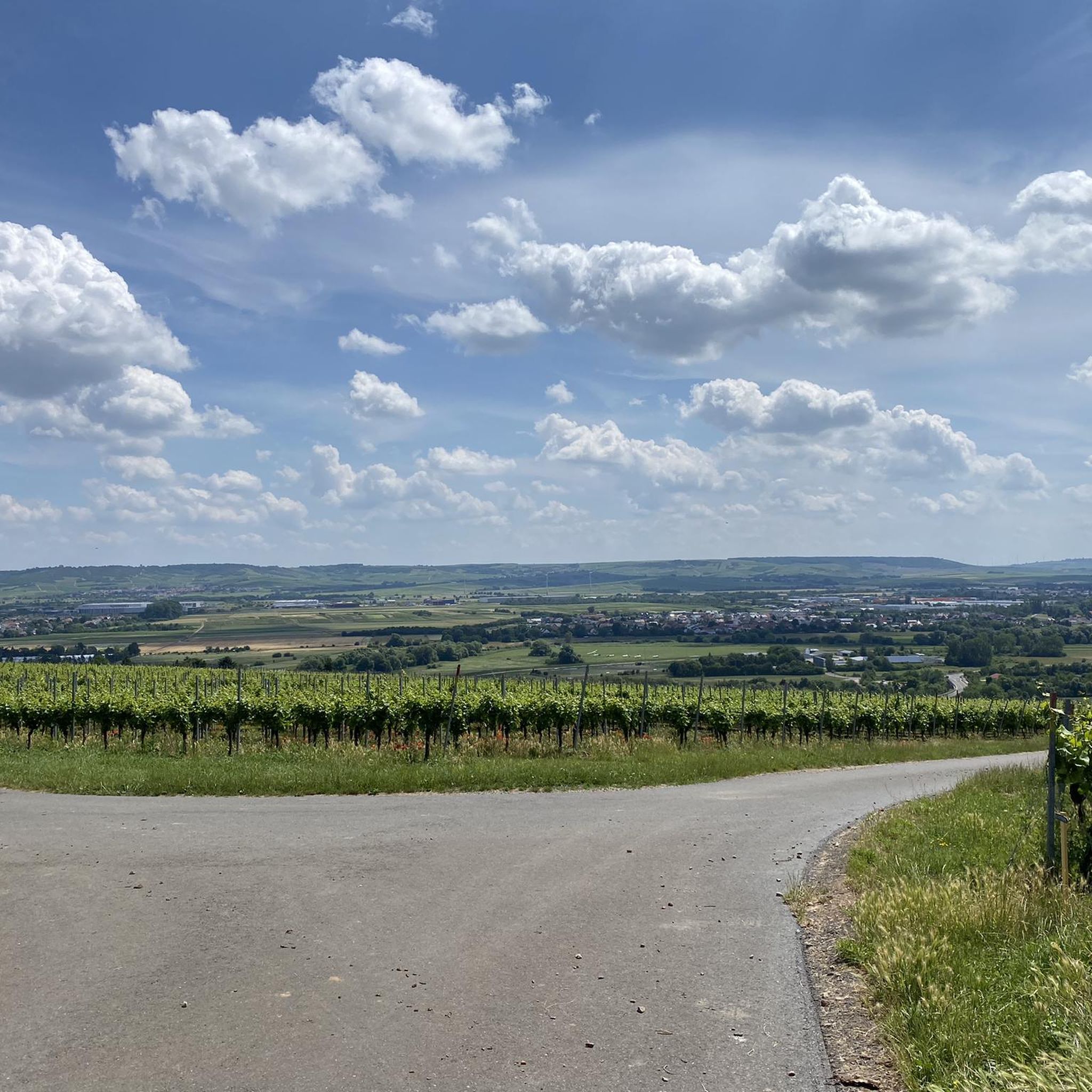
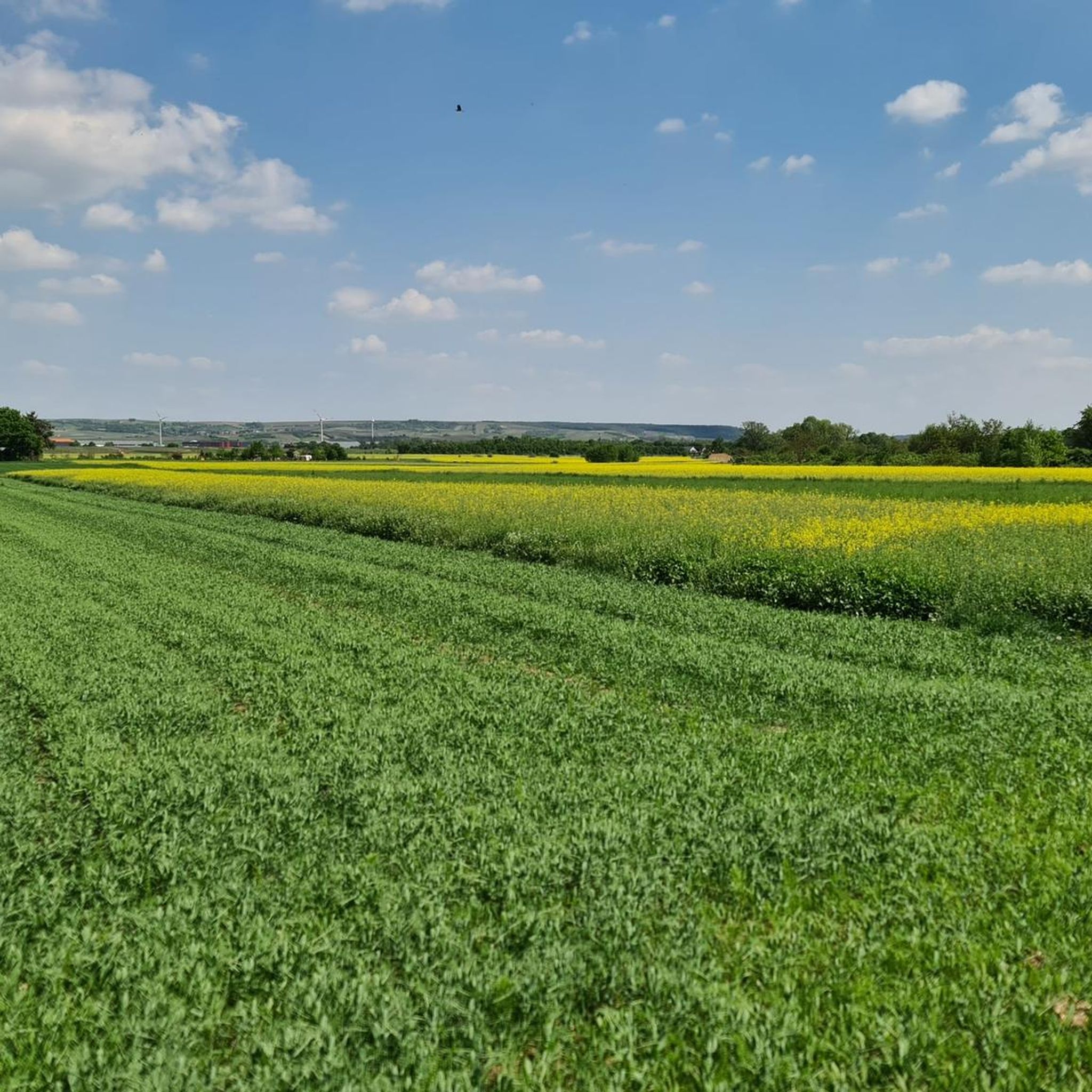
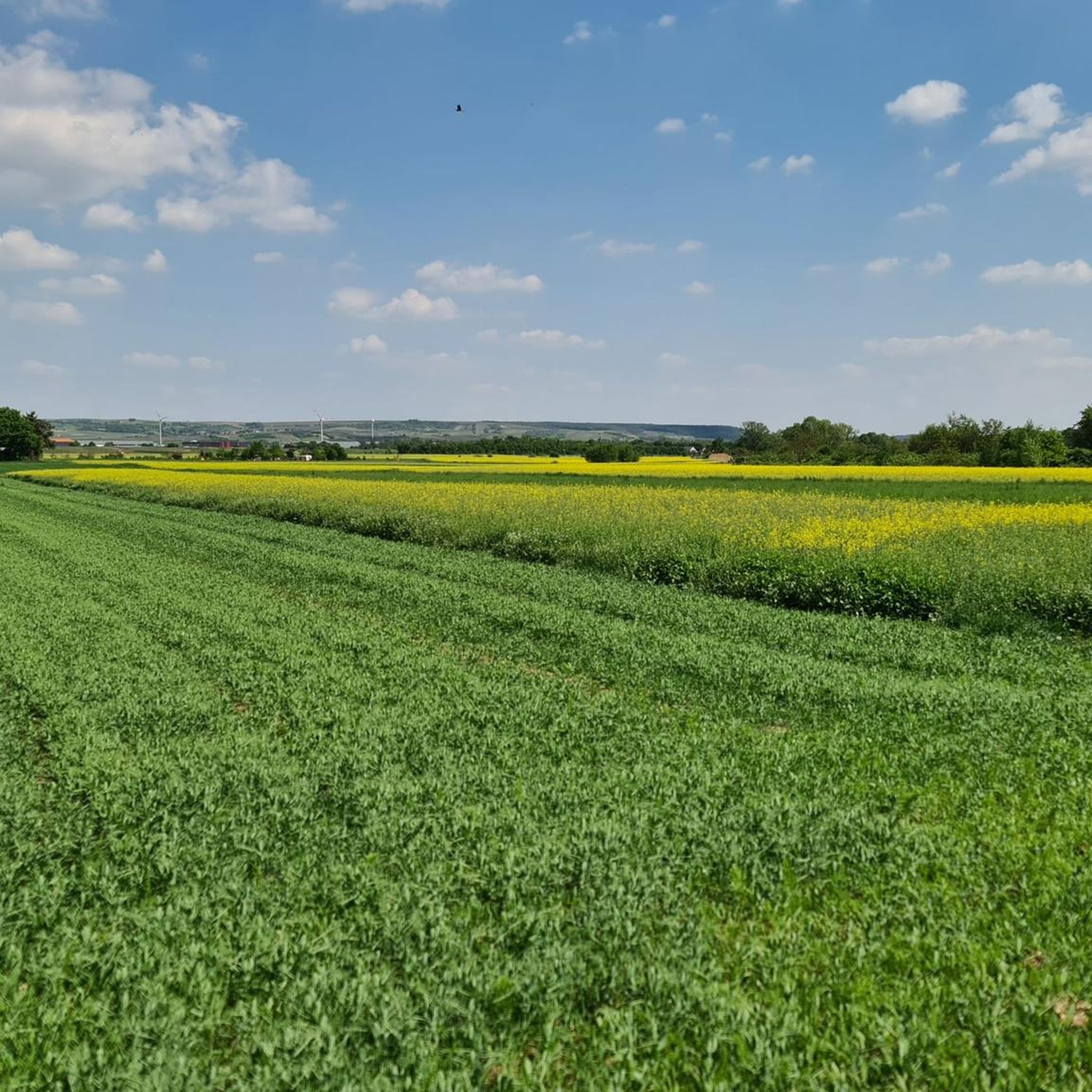
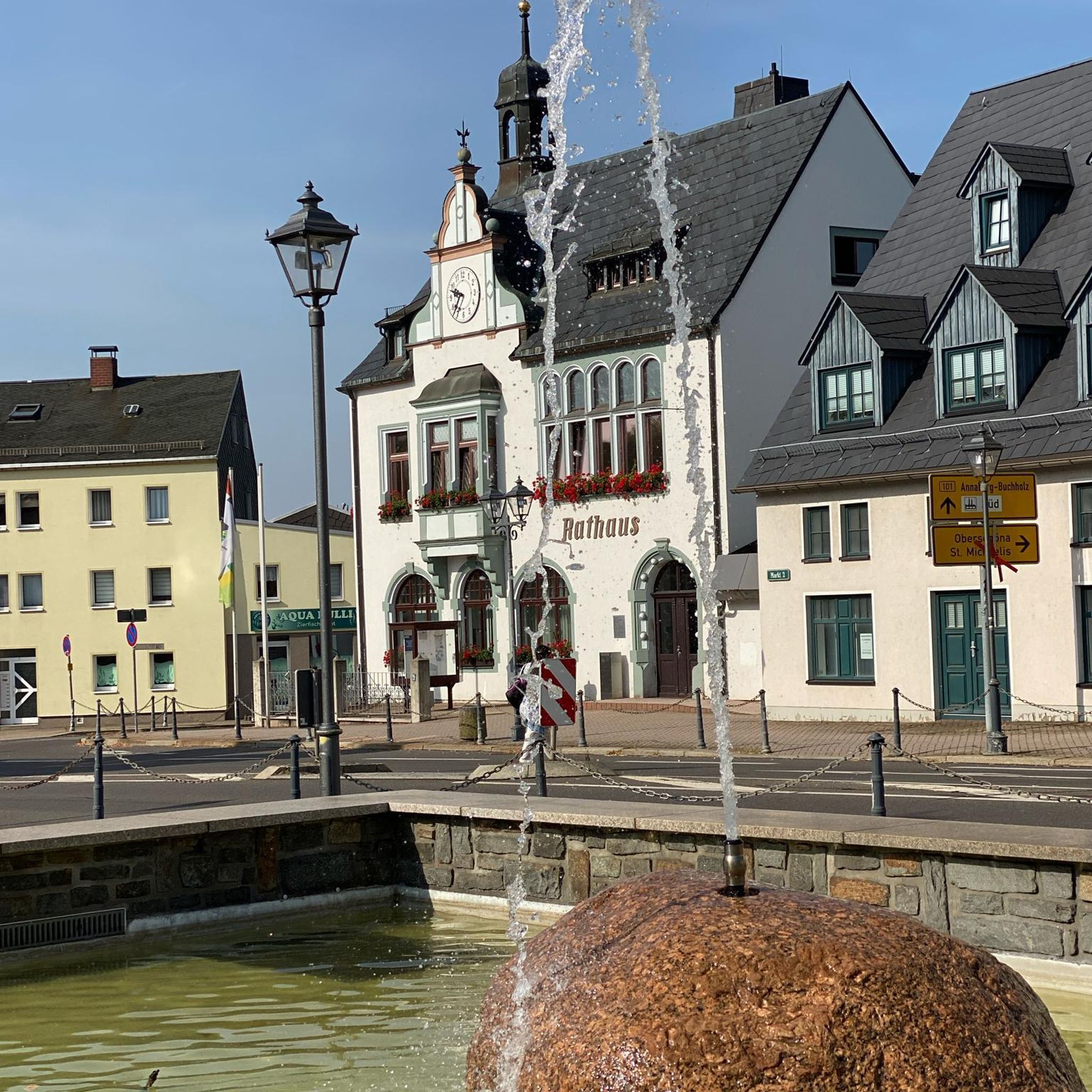
Tips from the Community

From the village center in Weiler, continuing the Heilig Kreuz-Weg, a Stations of the Cross with Stations of the Cross leads north into the Binger Wald. It ends at the "Gedenkstätte Belle Kreuz" in the middle of the forest. The site is equipped with an open-air altar and a 10-meter-high wooden cross. The altar area serves as a memorial for the victims of the Second World War. The first Holy Mass took place here in 1955. As early as 1949, the community was founded to establish a Stations of the Cross. In 1951/52, the Stations of the Cross, made of Mayen basalt, could be erected. The Mainz sculptor Adam Winter created the relief panels for the niches of the stations. Since 1961, the remaining work has been completed.
1
0

Very nice cycle path right on the water
0
0

This is not the Simmerbach!!!
0
0

Beautiful, inexpensive campsite and nice restaurant
0
0

One of the oldest medieval stone bridges in Germany. The short stop is worthwhile for anyone who wants to discover a piece of history on their bike tour.
3
0
The new Drusus Bridge, still visible today, was built 100 years later under Archbishop Willigis (975-1011). This bridge was destroyed by the French in 1689. It was rebuilt by 1772. In March 1945, a special command blew up the bridge arch in front of the advancing troops of the Allies. Today, the 1000-year-old Drusus Bridge, in new splendor, once again shapes the cityscape of Bingen.
1
0
The Drusus Bridge owes its name to the Roman general Drusus, who is said to have built the first wooden bridge over the Nahe. It probably originated in the decade before Christ's birth, but was probably in a different location. At that time, Drusus fortified the left bank of the Rhine border of the Roman Empire by building fortifications and may have had a convenient path built across the Nahe. The wooden bridge was destroyed in 70 AD. The current stone bridge is a construction from the 11th century.
2
0
Frequently Asked Questions
How many mountain bike trails are there around Grolsheim?
There are over 480 mountain bike routes available around Grolsheim. This includes a diverse range of trails suitable for various skill levels.
What are the difficulty levels of mountain bike trails in Grolsheim?
The trails around Grolsheim offer a good mix of difficulties. You'll find approximately 130 easy routes, over 300 moderate routes, and nearly 50 difficult routes, ensuring options for all experience levels.
What kind of terrain can I expect on mountain bike trails around Grolsheim?
Mountain biking around Grolsheim features rolling hills, extensive vineyards, and open fields. The routes often traverse the Nahe valley and areas near the Rhine, offering a mix of natural features and historical sites. You'll encounter both flatter sections and more challenging climbs, with some trails featuring singletrack sections like the S1 Trail within the Soonwald-Nahe region.
What is the best time of year for mountain biking in Grolsheim?
The best seasons for mountain biking in Grolsheim are spring and autumn. During these times, the weather is mild, and the scenery is particularly vibrant, with blooming vineyards in spring and colorful foliage in autumn.
Are there mountain bike trails suitable for beginners or families?
Yes, Grolsheim offers around 130 easy mountain bike routes, which are generally suitable for beginners and families looking for less challenging rides. An example of an easy route is the Rhine-Nahe-Eck – Ruins of the Hindenburg Bridge loop from Laubenheim (Nahe).
Are there challenging mountain bike routes for advanced riders?
Yes, for more experienced riders, there are nearly 50 difficult mountain bike routes around Grolsheim. These trails often feature more technical sections and significant elevation changes, providing a good challenge.
What notable landmarks or viewpoints can I see along the mountain bike trails?
Many trails offer scenic views and pass by historical sites. You might encounter the impressive Rheinstein Castle, or the Hindenburg Bridge Ruins. The region also boasts panoramic views, such as those from the View of Rheinstein Castle and the Rhine from the Kleine Bastei or the Rhine-Nahe-Eck. Further afield, the Niederwald Monument above Rüdesheim offers fantastic panoramic vistas.
What do other mountain bikers enjoy about the trails in Grolsheim?
The mountain bike trails in Grolsheim are highly rated by the komoot community, with an average score of 4.6 stars from over 1800 reviews. More than 7000 mountain bikers have explored the varied terrain, often praising the diverse landscapes, from vineyards to river valleys, and the mix of easy and challenging sections.
Are there any circular mountain bike routes in the area?
Yes, many mountain bike routes around Grolsheim are designed as loops. For example, the Krummefichte Singletrail – Belle Cross loop from Laubenheim (Nahe) is a popular circular option that covers 26.8 miles (43.1 km).
Is there parking available near the mountain bike trailheads?
Yes, many trailheads and starting points in and around Grolsheim, particularly in towns like Laubenheim (Nahe) and Langenlonsheim, offer designated parking areas for outdoor enthusiasts. It's advisable to check specific route details on komoot for precise parking information.
Can I reach the mountain bike trails using public transport?
Grolsheim and its surrounding towns are generally accessible by public transport, which can help you reach various starting points for mountain bike trails. Regional train and bus services connect the area, though specific access points may require a short ride or walk to the trailhead.
Are dogs allowed on the mountain bike trails?
Generally, dogs are permitted on most public trails in the Grolsheim region, especially in rural and forested areas. However, it's always recommended to keep them on a leash, especially when encountering other trail users or wildlife, and to check for any specific local regulations or protected areas that might have restrictions.
Are there places to eat or stay near the mountain bike trails?
Yes, the region offers various options for refreshments and accommodation. You'll find cafes, pubs, and restaurants in Grolsheim and nearby towns. For example, the Heiligkreuz Forest Inn and Jägerhaus Forest Lodge are options for a meal. Accommodation ranges from hotels to guesthouses, particularly in larger towns like Bad Kreuznach or Bingen am Rhein.
Most popular routes around Grolsheim
Most popular attractions around Grolsheim

Get inspired with the komoot mobile app


Explore more
Browse the best MTB trails in other regions.
