The best running trails around Ystradfellte
4.4
(5)
427
runners
22
runs
Jogging around Ystradfellte offers diverse terrain within the Brecon Beacons National Park, renowned for its "Waterfall Country." The region is characterized by powerful rivers carving through limestone gorges and dense, atmospheric woodlands. Trails often follow riverbanks, leading through wooded ravines and past numerous waterfalls, providing varied surfaces from accessible paths to more challenging natural, unpaved, and gravel sections. Elevation changes are common, ranging from gentle forest runs to routes with significant climbs.
Best jogging routes around Ystradfellte
- The most popular jogging route is Ystradfellte Waterfall loop from Pontneddfechan — Bannau Brycheiniog (Brecon Beacons) National Park, a 10.7 miles (17.2 km) trail that takes 1 hour 57 minutes to complete. This difficult route features significant elevation gain through waterfall country.
- Another top favourite among local runners is Fan Gyhirych & Fan Nedd loop from Afon Lila — Bannau Brycheiniog (Brecon Beacons) National Park, a difficult 12.8 miles (20.5 km) path. This route offers extensive views and challenging climbs across open terrain.
- Local runners also love the Sgwd Yr Eira – Sgwd Uchaf Clun-Gwyn Waterfall loop from Pontneddfechan, a 8.5 miles (13.8 km) trail leading through wooded ravines and past multiple waterfalls, often completed in about 1 hour 35 minutes.
- Jogging around Ystradfellte is defined by powerful rivers, limestone gorges, and dense woodlands. The network offers options for various ability levels, from moderate forest paths to difficult routes with substantial elevation changes.
- The routes in Ystradfellte are highly rated by the komoot community with an average score of 4.3 stars from over 3 reviews. More than 400 runners have used komoot to explore Ystradfellte's varied terrain.
Last updated: July 18, 2026
4.0
(1)
12
runners
Embark on the Ystradfellte Waterfall loop, also known as the Four Waterfalls Walk, starting from Pontneddfechan in Bannau Brycheiniog (Brecon Beacons) National Park. This difficult jogging route covers 10.7 miles (17.2 km) with a significant elevation gain of 1228 feet (374 metres), typically taking around 1 hour and 56 minutes to complete. You will navigate varied terrain, including natural, unpaved, and gravel surfaces, winding along riverbanks and through lush, forested valleys.
Be prepared for rocky and often muddy conditions, especially after rain, so good footwear is essential for sure-footedness. The route features numerous steep ascents and descents, with some sections incorporating boardwalks and steps. Certain areas, particularly around the waterfalls, can be very slippery and require caution. This trail is unsuitable for beginner runners or those not accustomed to challenging off-road conditions.
The Ystradfellte loop is renowned for its close-up encounters with four distinct waterfalls, set within the dramatic limestone gorges of "Waterfall Country." The most iconic feature is Sgwd yr Eira, meaning 'Fall of Snow,' where you can famously walk behind the curtain of water. The trail's location within the Fforest Fawr Geopark highlights dramatic geological formations alongside the natural beauty of the cascading waters and ancient woodlands.
11
runners
The Fan Gyhirych & Fan Nedd loop from Afon Lila offers a challenging jogging experience through the Bannau Brycheiniog (Brecon Beacons) National Park. This difficult 12.8-mile (20.5 km) route features 2381 feet (726 metres) of elevation gain and typically takes around 2 hours and 42 minutes to complete. You will encounter varied terrain, from gravel tracks and grassy paths to rough moorland and potentially boggy ground, especially on the less-used sections leading up Fan Nedd. From the summits of Fan Gyhirych and Fan Nedd, you can enjoy expansive panoramic views of the Carmarthen Fan, Pen y Fan, and the Cray reservoir, offering a true sense of wilderness. The final push to Fan Nedd's summit includes brutally steep climbs, demanding good fitness and sure-footedness. This trail is ideal if you are looking for solitude away from more crowded paths.
Planning your visit requires you to be prepared for diverse conditions, as some sections can be steep and eroded. Sturdy shoes are recommended, especially if you are not used to alpine conditions. The route is generally considered a hard run, so ensure you have very good fitness before attempting it. While the research does not specify trailhead access, parking, or public transport details, it's wise to check local information for Afon Llia before you go. Always carry enough water and supplies, as the area is remote and services are limited.
This loop is rich in history and natural interest, incorporating parts of the ancient Sarn Helen Roman Road and passing by Maen Madoc, a Bronze Age monolith. You will also follow sections of the Beacons Way and the Cambrian Way long-distance trails. Reaching the trig points on Fan Gyhirych (725 metres / 2,379 feet) and Fan Nedd (663 metres / 2,175 feet) provides rewarding views across the Brecon Beacons. A significant portion of your return leg crosses the Ogof-Fynnon-Ddu Pant Mawr National Nature Reserve, adding ecological value to your run. The landscape also reveals historical remnants like shake holes, disused quarries, and mine shafts, reflecting the region's industrial past.

Sign up for free
5.0
(1)
100
runners
13.8km
01:37
290m
290m
Moderate run. Good fitness required. Mostly paved surfaces. Suitable for all skill levels.
5.0
(1)
93
runners
19.0km
02:15
430m
430m
Hard run. Very good fitness required. Sure-footedness, sturdy shoes and alpine experience required.
72
runners
13.6km
01:34
260m
260m
Moderate run. Good fitness required. Mostly paved surfaces. Suitable for all skill levels.
Get access to more routes and recommendations from other explorers.
Sign up for free
Already have an account?
Our route recommendations are based on thousands of hikes, rides, and runs completed by other people on komoot.
Start today with a free account
Your next adventure awaits.
Login or Signup
Popular around Ystradfellte
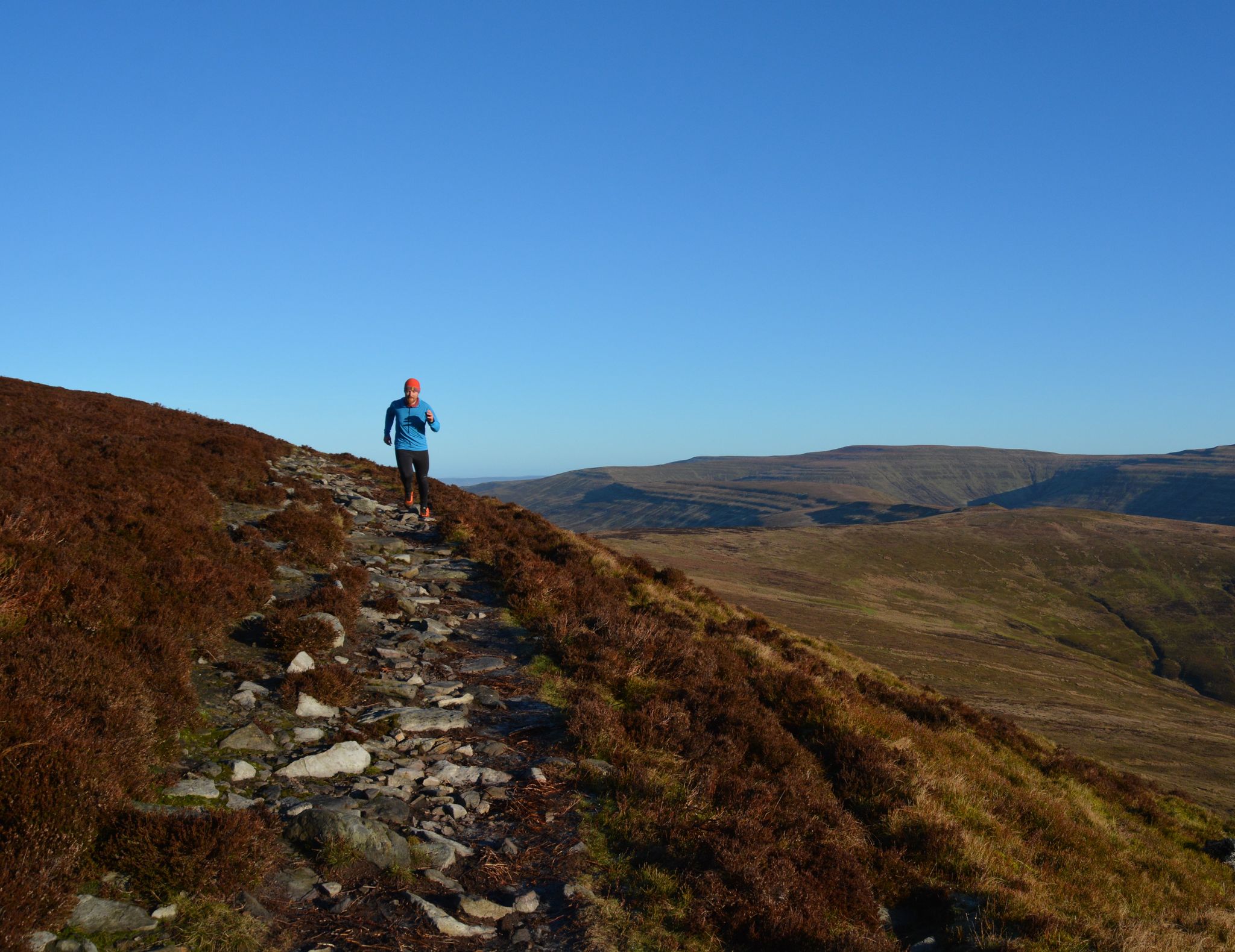
10 running adventures in the Bannau Brycheiniog (Brecon Beacons)

O Fon i Fynwy — Exploring Wales on foot from top to bottom
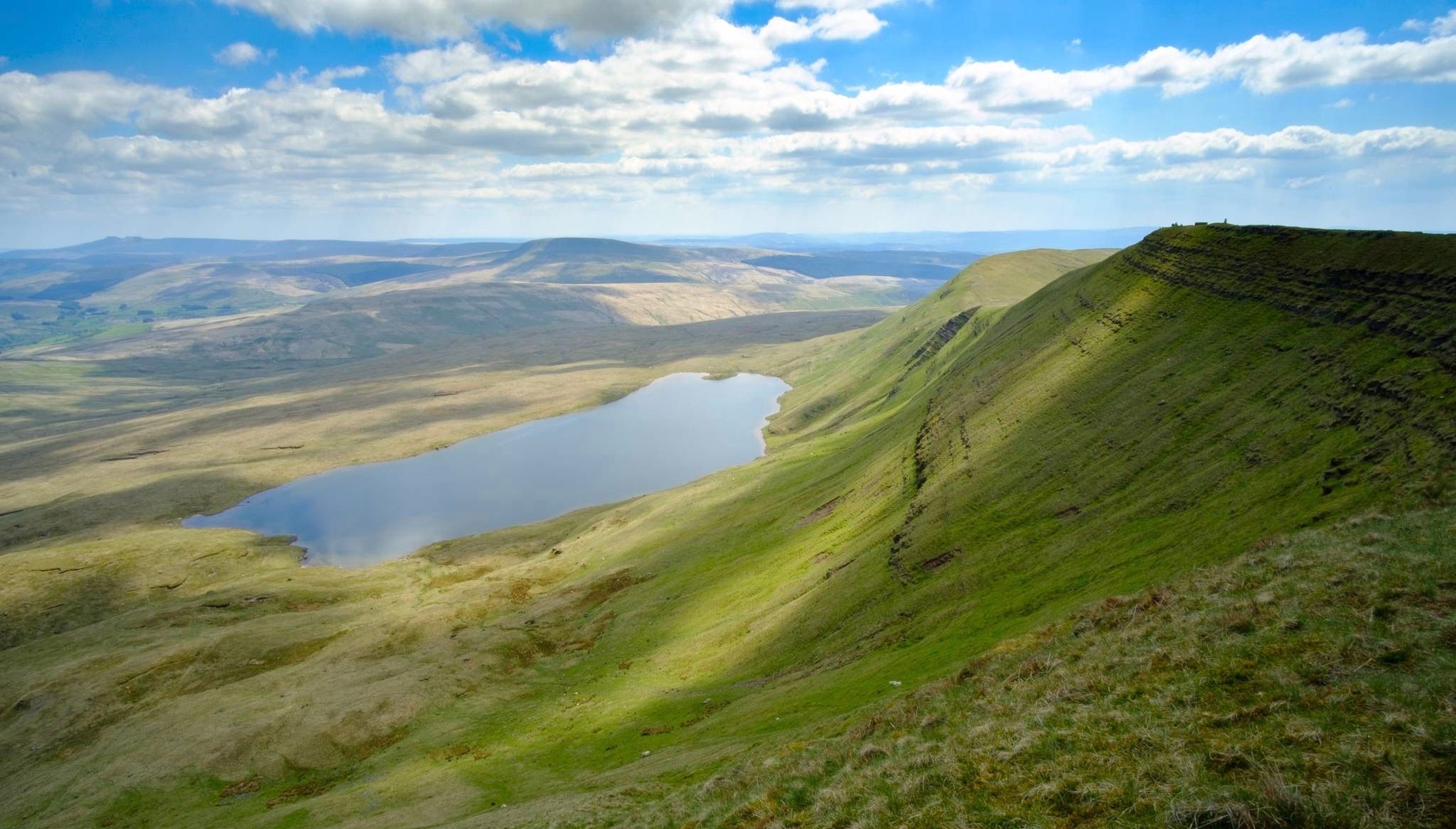
Breathtaking hikes in the Brecon Beacons National Park
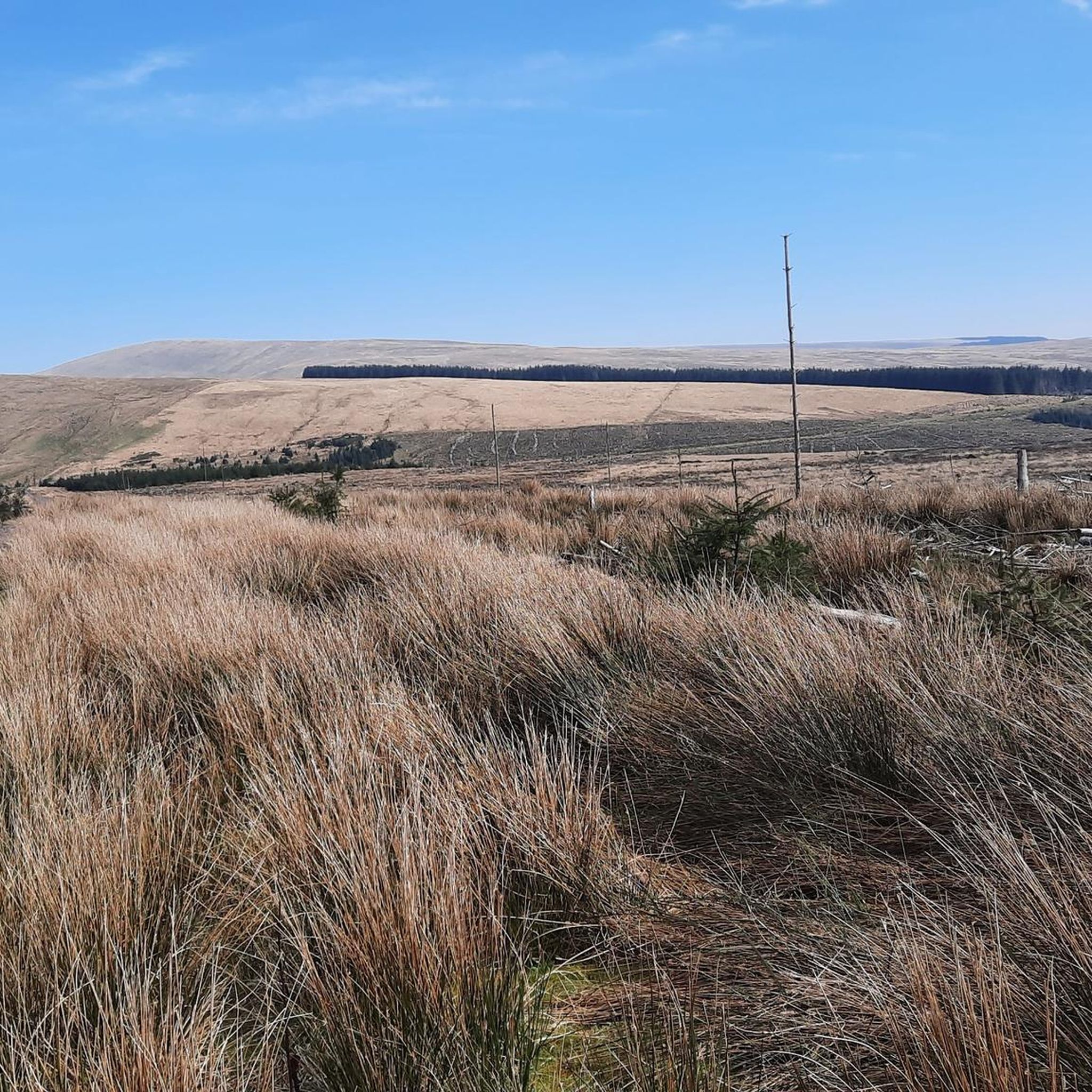
Hiking around Ystradfellte
Road Cycling Routes around Ystradfellte
Cycling around Ystradfellte
MTB Trails around Ystradfellte

Mountain Hikes around Ystradfellte

Gravel biking around Ystradfellte
Other adventures around Ystradfellte


Tips from the Community

Impressive waterfall. You can also walk well underneath it.
0
0

If this bridge wasn't there, it would be a long way round!
0
0

Maen Madog also called Maen Madoc is a standing stone in the heart of the Brecon Beacons National Park, about one mile north of Ystradfellte. It stands immediately beside the old Roman road known as Sarn Helen, just outside the Blaen Llia forestry plantation. A mile to the north is Maen Llia, a Bronze Age standing stone. The stone is not in its original location, and no grave has been found. Historians theorise that the burial remains were destroyed by the extremely acid soil. When Maen Madoc was recorded in 1805 it was recumbent. It was re-erected at some point in the 19th century and again in 1940. It is believed to have been erected in the late Roman period, possibly to mark the site of an early Christian burial. The southwest edge of the stone is inscribed with very worn Latin text reading 'DERVAC(IVS) FILIVS IVSTI (H)IC IACIT'. This translates loosely as 'Dervacus, Son of Justus lies here'. One theory says that Maen Madoc was a pre-existing Bronze Age standing stone that was simply re-used to mark a late-Roman burial site.
1
0

such a beautiful waterfall. Looks amazing and so peaceful weather. I loved it. https://www.my-milestonecard.com
0
0

Sgwd yr Eira is the most impressive waterfall in the Pontneddfechan area. It is a high, broad, and powerful waterfall that resembles a curtain of water when it is in full flow. The fact that you can walk behind it just adds to the beauty of this amphitheatre you find yourself in. To get there, however, you have to take around 170 steps that go down the steep side of the valley to the river bed. If this worries you somewhat, just take your time when you go down and when you come back up. In addition, at the bottom, the path that goes to the waterfall is rocky and slippery, and if you walk behind the waterfall, it will be a bit wet, so a waterproof might be necessary.
1
0
As well as the caves, here you have Porth yr Ogof car park, or Cwm Porth car park, to give it its proper name. It's one of the better car parks, with toilets and a small shop. On most days there is also hot food and drinks available. The famous Four Waterfalls walk also starts from here. This is a spectacular walk, and each waterfall is great in its own way. They are Sgwd Clun-Gwyn, Sgwd Isaf Clun-Gwyn, Sgwd y Pannwr, and Sgwd yr Eira.
1
0
The Four Waterfalls Walk is my idea of heaven. Hidden away in a quiet corner of the Brecon Beacons, there is a famous waterfall trail that takes in four great waterfalls, it is located near the quaint village of Ystradfellte. The trail has stunning scenery, and the main access to it is from the car park at Porth yr Ogof, or the Cwm Porth car park, to give it its proper name. The Four Waterfalls are all spectacular in their own different ways, and they are Sgwd Clun-Gwyn, Sgwd Isaf Clun-Gwyn, Sgwd y Pannwr, and Sgwd yr Eira.
1
0
Sgwd Isaf Clun-Gwyn is one of the most photographed falls on the four waterfalls walk. Thus, it is known as the “Lower” Fall of the White Meadow in English because it is on the same river and you have to head downhill to get to it. It is a great place for gorge walking, and I have had a lot of fun here over the years. It's a gorgeous place to come and visit in waterfall country.
1
0
Frequently Asked Questions
How many running routes are available in Ystradfellte?
Ystradfellte offers a diverse selection of over 20 running routes, catering to various fitness levels. These include 1 easy, 10 moderate, and 11 difficult trails, ensuring there's something for every runner.
What kind of terrain can I expect on the jogging trails in Ystradfellte?
The terrain in Ystradfellte is quite varied, reflecting its 'Waterfall Country' designation. You'll encounter deep, wooded ravines, riverside paths, and impressive rock formations. Surfaces range from accessible forest tracks to more challenging natural, unpaved, and gravel sections. Be prepared for steep ascents, descents, and potentially rocky, muddy, or slippery ground, especially near waterfalls.
Are there any easy running routes suitable for beginners in Ystradfellte?
While many routes in Ystradfellte feature significant elevation changes and challenging terrain, there is at least one easy route available. These paths generally offer more gentle forest runs, perfect for those new to trail running or looking for a less strenuous experience.
Can I bring my dog on the running trails in Ystradfellte?
Many trails in the Brecon Beacons National Park, including those around Ystradfellte, are dog-friendly. However, it's always best to keep dogs on a lead, especially near livestock, and to check specific route guidelines for any restrictions. Remember to clean up after your pet to help preserve the natural environment.
What natural features or sights will I encounter along the jogging routes?
Ystradfellte is renowned for its 'Waterfall Country,' so you'll be treated to numerous spectacular cascades. Notable highlights include Sgwd Yr Eira, Sgwd Uchaf Clun-Gwyn Waterfall, Sgwd y Pannwr, Sgwd Isaf Clun-Gwyn, and Sgwd Gwladus Waterfall. Beyond the waterfalls, you'll also experience lush woodlands and dramatic limestone gorges.
Are there circular running routes available in Ystradfellte?
Yes, Ystradfellte offers several excellent circular running routes. For instance, the Ystradfellte Waterfall loop from Pontneddfechan is a popular choice, taking you through the heart of Waterfall Country. Another option is the Sgwd Yr Eira – Sgwd Uchaf Clun-Gwyn Waterfall loop from Pontneddfechan.
What is the best time of year to go running in Ystradfellte?
Ystradfellte is beautiful year-round, but spring and autumn offer particularly pleasant conditions with vibrant foliage and less crowded trails. Summer can be warm, ideal for enjoying the waterfalls, while winter brings a unique, often dramatic landscape, though trails can be very muddy and slippery. Always check weather conditions before heading out.
What do other runners enjoy most about jogging in Ystradfellte?
The running routes in Ystradfellte are highly rated by the komoot community, with an average score of 4.3 stars. Runners frequently praise the stunning natural beauty, especially the numerous waterfalls, and the varied terrain that offers both challenging climbs and serene forest paths. The opportunity to run behind waterfalls like Sgwd yr Eira is often highlighted as a unique and memorable experience.
Are there any challenging routes for experienced runners?
Absolutely. Ystradfellte provides several difficult routes with substantial elevation gains, perfect for experienced runners seeking a challenge. The Fan Gyhirych & Fan Nedd loop from Afon Lila, for example, is a difficult 20.5 km path offering extensive views and demanding climbs across open terrain.
Can I walk behind any waterfalls on these running routes?
Yes, Ystradfellte is famous for waterfalls you can walk behind! The most well-known is Sgwd Yr Eira, where you can experience the unique sensation of being behind the curtain of water. Some routes, like the Sgwd Yr Eira – Sgwd Gwladus Waterfall loop from Pontneddfechan, will take you to these incredible spots.
Where can I find parking for the running trails in Ystradfellte?
Parking is generally available at key access points for the trails, particularly near popular starting points like Pontneddfechan. However, spaces can fill up quickly during peak seasons, so it's advisable to arrive early. Always check local signage for parking regulations and fees.
Most popular routes around Ystradfellte
Most popular attractions around Ystradfellte

Get inspired with the komoot mobile app


Explore more
Browse the best Running Trails & Routes in other regions.
