The best MTB trails around Pen-Y-Bont-Fawr
4.5
(7)
53
riders
5
rides
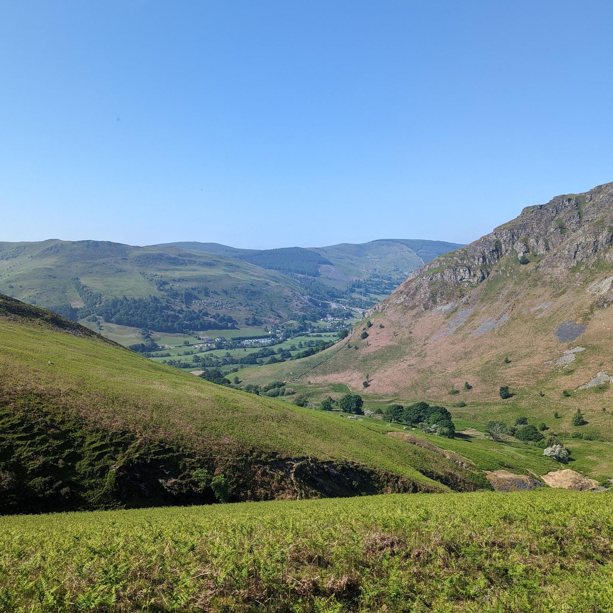
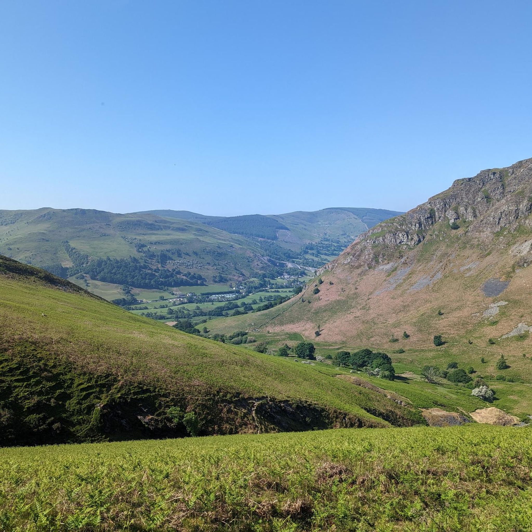
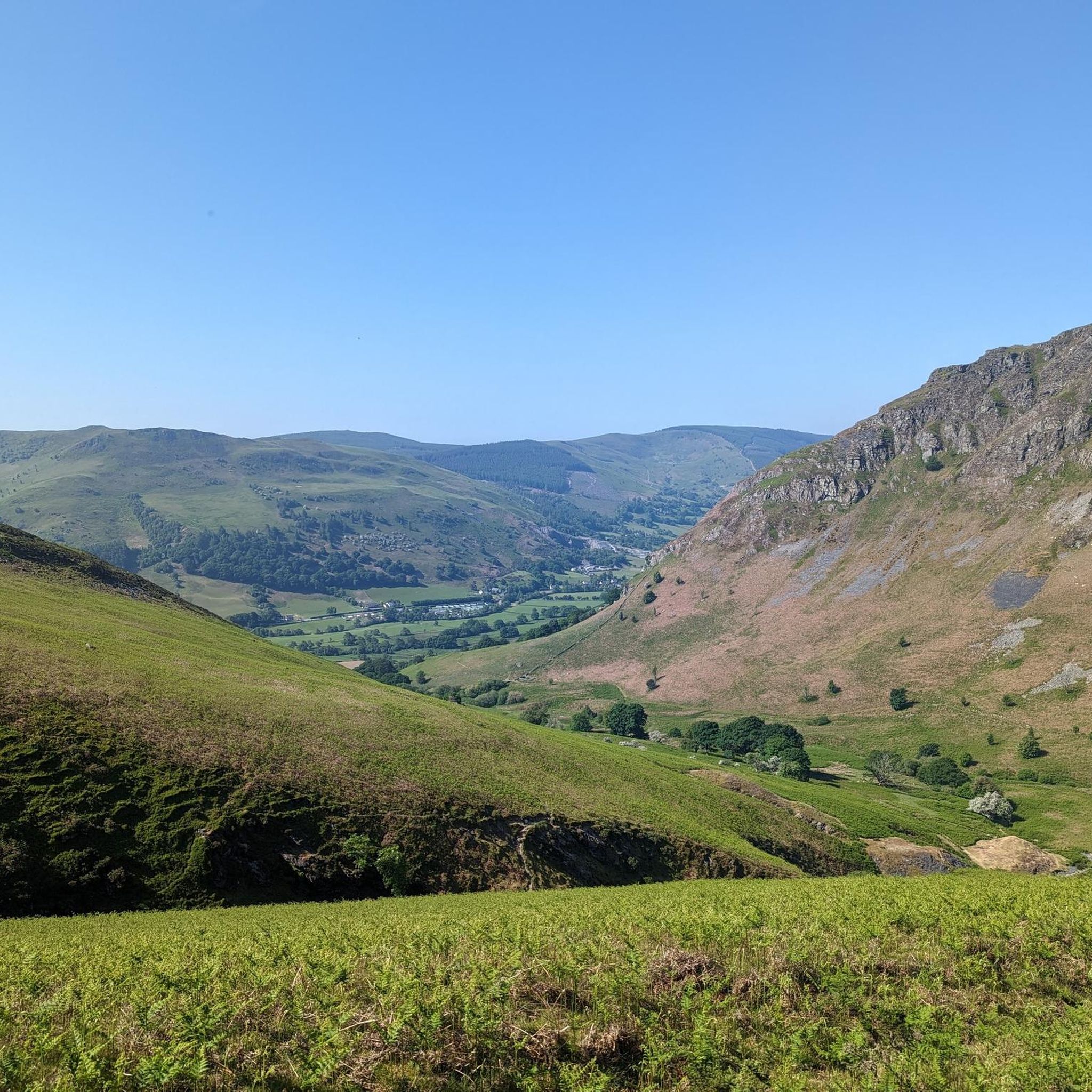
Mountain biking around Pen-Y-Bont-Fawr offers diverse terrain within the Welsh landscape, characterized by significant mountain peaks, passes, and varied topography. The region features a mix of flat valley bottoms, enclosed farmland, and upland areas with crags and rocky outcrops, providing a range of challenges for mountain bikers. Notable natural features include the Pistyll Rhaeadr waterfall and scenic lakes like Lake Vyrnwy, which add to the area's appeal. The trails often require good to very good fitness levels, with options ranging from moderate to difficult.
Best mountain bike trails around Pen-Y-Bont-Fawr
- The most popular mountain bike trail is Tomen Cefncoch Motte – Craig Rhiwarth Descent loop from Llangynog, a 26.9 miles (43.2 km) trail that takes 4 hours 30 minutes to complete. This difficult route includes a substantial ascent, offering expansive views of the surrounding mountains.
- Another top favourite among local mountain bikers is Giants of Vyrnwy – Lake Vyrnwy Dam loop from Lake Vyrnwy, a moderate 17.1 miles (27.5 km) path. This route leads through the scenic Lake Vyrnwy area.
- Local mountain bikers also love the Wayfarer Memorial Pass – Wayfarer Memorial Traverse loop from Llanarmon Dyffryn Ceiriog, a 20.1 miles (32.4 km) trail leading through mountain passes, often completed in about 3 hours 20 minutes.
- Mountain biking around Pen-Y-Bont-Fawr is defined by mountain peaks, passes, and diverse terrain, including upland areas and scenic lakes. The network offers options for different ability levels, from moderate to difficult.
- The routes in Pen-Y-Bont-Fawr are highly rated by the komoot community with an average score of 4.6 stars from over 6 reviews. More than 50 mountain bikers have used komoot to explore Pen-Y-Bont-Fawr's varied terrain.
Last updated: August 8, 2026
5.0
(1)
4
riders
42.9km
04:29
1,420m
1,420m
Hard mountain bike ride. Very good fitness required. Suitable for all skill levels.
5.0
(2)
16
riders
27.5km
02:23
560m
560m
Moderate mountain bike ride. Good fitness required. Suitable for all skill levels.

Sign up for free
4.0
(1)
5
riders
32.4km
03:19
1,020m
1,020m
Hard mountain bike ride. Very good fitness required. Suitable for all skill levels.
8
riders
16.9km
01:30
430m
430m
Moderate mountain bike ride. Good fitness required. Suitable for all skill levels.
3.5
(2)
7
riders
Moderate mountain bike ride. Good fitness required. Suitable for all skill levels.
Our route recommendations are based on thousands of hikes, rides, and runs completed by other people on komoot.
Start today with a free account
Your next adventure awaits.
Login or Signup

Tips from the Community

Unrideable barely a path for most of it overgrown had to walk ALOT and only reason I knew where to go was due to the komoot navigation maybe higher path better?! But would avoid this with bikes I had ebike and am advanced rider and would not recommend to anyone!!
0
0

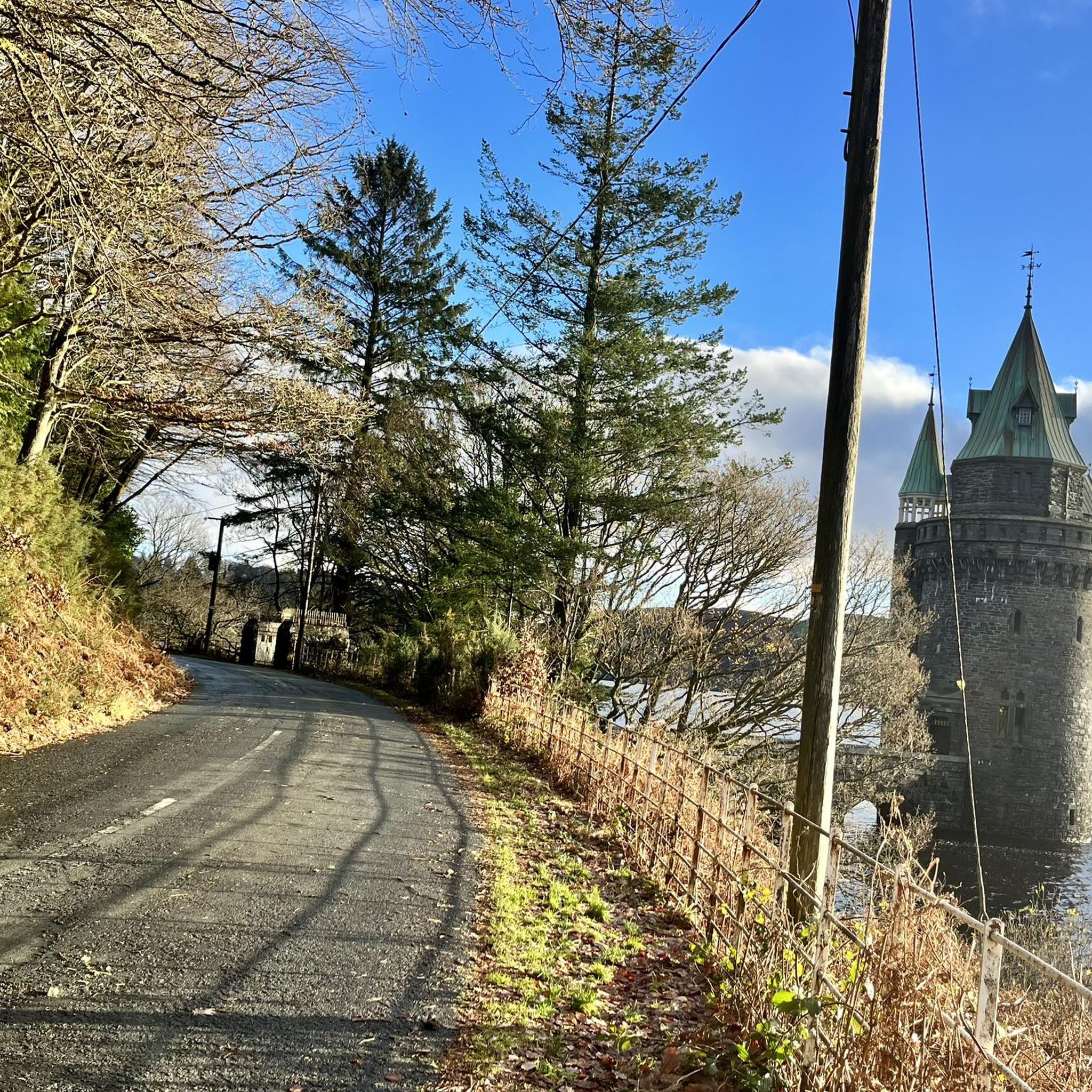
Lake Vyrnwys straining tower! Lovely place and gives it that fairy tale vibe. One of my special places is Vyrnwy.
0
0


Gorgeous area. Be aware the road/trail on the south side (including access to/from Llanymawddwy) are currently closed due to damage from storm Darragh. See https://www.hdcymru.co.uk/our-visitor-sites/lake-vyrnwy/storm-darragh/ for more details.
0
0

The track from the East is broken but doable on a gravel bike - I had to push the last few hundred metres. Awkward terrain - large stones - and plenty of puddles - but a fabulous day on 2 wheels!
0
0

There is a little cafe above the main car park for a coffee and cake after the "gift shop" labelled walks. As usual, Komoot makes the walk easier than using signposts - remember to download to the phone app. Kayaking/canoeing around the lake is only possible for about half of it due to a protected bird sanctuary.
0
0

The Straining Tower at Lake Vyrnwy is an intake tower built to extract water from the lake. The tower stands on the north shore of Lake Vyrnwy, near the village of Llanwddyn, in Powys, Wales. The Lake Vyrnwy dam project was designed to provide a water supply to the city of Liverpool and work on the dam began in 1881. On its completion 11 years later, the lake was the largest reservoir in Europe and water was drawn from it into the straining tower and carried to Liverpool on a 110km-long aqueduct. The engineers for the project were Thomas Hawksley and George Frederick Deacon, although the straining tower was entirely Deacon's design. The tower is constructed in a Gothic Revival style, purportedly based on the tower of the castle at Chillon, Switzerland. It draws heavily on the contemporaneous work of William Burges, whose Cardiff Castle and Castell Coch are clear influences. The straining tower is a Grade I listed building.
3
0
The Straining Tower at Lake Vyrnwy is an intake tower built to extract water from the lake. The tower stands on the north shore of Lake Vyrnwy, near the village of Llanwddyn, in Powys, Wales. The Lake Vyrnwy dam project was designed to provide a water supply to the city of Liverpool and work on the dam began in 1881. On its completion 11 years later, the lake was the largest reservoir in Europe and water was drawn from it into the straining tower and carried to Liverpool on a 110km-long aqueduct. The engineers for the project were Thomas Hawksley and George Frederick Deacon, although the straining tower was entirely Deacon's design. The tower is constructed in a Gothic Revival style, purportedly based on the tower of the castle at Chillon, Switzerland. It draws heavily on the contemporaneous work of William Burges, whose Cardiff Castle and Castell Coch are clear influences. The straining tower is a Grade I listed building
0
0
Frequently Asked Questions
How many mountain bike trails are available around Pen-Y-Bont-Fawr?
There are 6 mountain bike trails available around Pen-Y-Bont-Fawr. These routes offer a variety of experiences, from moderate to difficult, catering to different skill levels.
What kind of terrain can I expect on mountain bike trails near Pen-Y-Bont-Fawr?
The terrain around Pen-Y-Bont-Fawr is diverse, featuring a mix of flat, low-lying valley bottoms, enclosed farmland on gently sloping ground, and upland areas with crags and rocky outcrops. You can expect varied challenges including climbs, descents, and scenic vistas, often requiring good to very good fitness levels.
Are there any notable natural attractions or landmarks to see while mountain biking around Pen-Y-Bont-Fawr?
Yes, the region is rich in natural beauty. You can encounter stunning features like Lake Vyrnwy Dam, and scenic lakes such as Llyn Tegid (Lake Bala). The famous Pistyll Rhaeadr, Britain's highest single-drop waterfall, is also a significant natural monument in the vicinity.
What do other mountain bikers say about the trails around Pen-Y-Bont-Fawr?
The mountain bike trails around Pen-Y-Bont-Fawr are highly rated by the komoot community, with an average score of 4.7 stars from 8 reviews. Over 100 mountain bikers have used komoot to explore the varied terrain, often praising the challenging ascents and expansive views.
Are there any circular mountain bike routes available?
Yes, many of the routes in the area are circular. For example, the Ffridd St Ioan loop from Abertridwr is a moderate 30.2 km circular trail, and the Craig Rhiwarth Descent loop from Pen-y-bont-fawr is a moderate 15.7 km loop directly accessible from the village.
Can I find mountain bike trails that offer views of significant mountain peaks?
Absolutely. The region is characterized by significant mountain peaks and passes. Trails like the difficult Tomen Cefncoch Motte – Craig Rhiwarth Descent loop from Llangynog offer expansive views of the surrounding mountains. You can also find highlights like Cadair Berwyn Summit and Cadair Bronwen Summit Cairn in the vicinity.
Are there any moderate mountain bike trails suitable for riders with good fitness?
Yes, there are several moderate trails that are well-suited for riders with good fitness. The Ffridd St Ioan loop from Abertridwr is a popular 30.2 km moderate route with a 450m elevation gain. Another option is the Craig Rhiwarth Descent loop from Pen-y-bont-fawr, a 15.7 km moderate ride.
What is the most challenging mountain bike trail in the Pen-Y-Bont-Fawr area?
The most challenging trail listed is the Tomen Cefncoch Motte – Craig Rhiwarth Descent loop from Llangynog. This difficult 43.2 km route features a substantial 1,420m elevation gain, offering a significant test for experienced mountain bikers.
Can I find mountain bike routes that pass by lakes?
Yes, some routes offer views of the region's lakes. The Giants of Vyrnwy – Lake Vyrnwy Dam loop from Lake Vyrnwy is a 27.5 km trail that leads through the scenic Lake Vyrnwy area, providing beautiful lakeside views.
Are there any mountain bike trails starting directly from Pen-Y-Bont-Fawr village?
Yes, the Craig Rhiwarth Descent loop from Pen-y-bont-fawr is a moderate 15.7 km ride with a 430m elevation gain that is directly accessible from the village, making it convenient for local starts.
Most popular attractions around Pen-Y-Bont-Fawr

Get inspired with the komoot mobile app


Explore more
Browse the best MTB trails in other regions.
