The best walks and hikes around Llanelidan
4.5
(837)
7,944
hikers
188
hikes
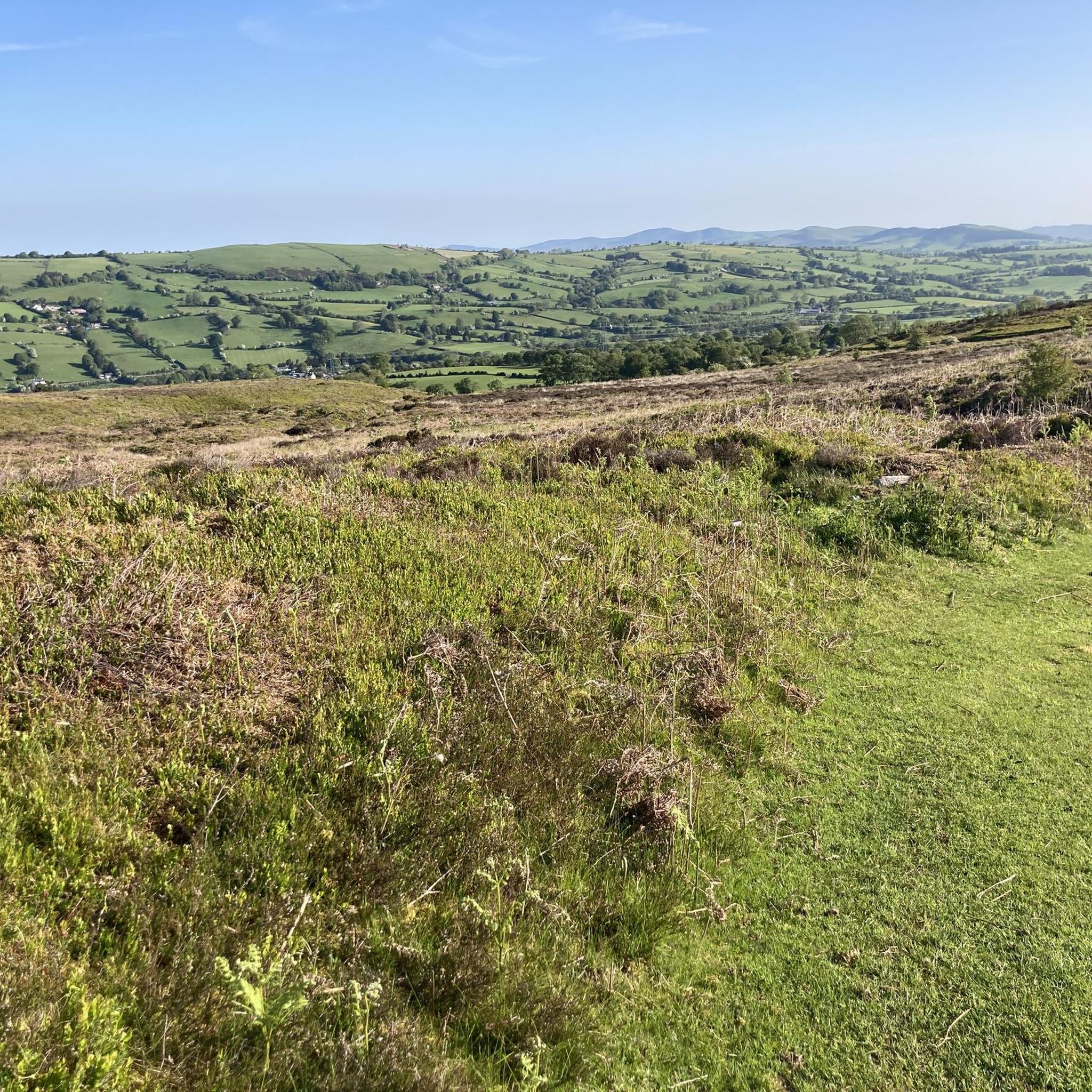
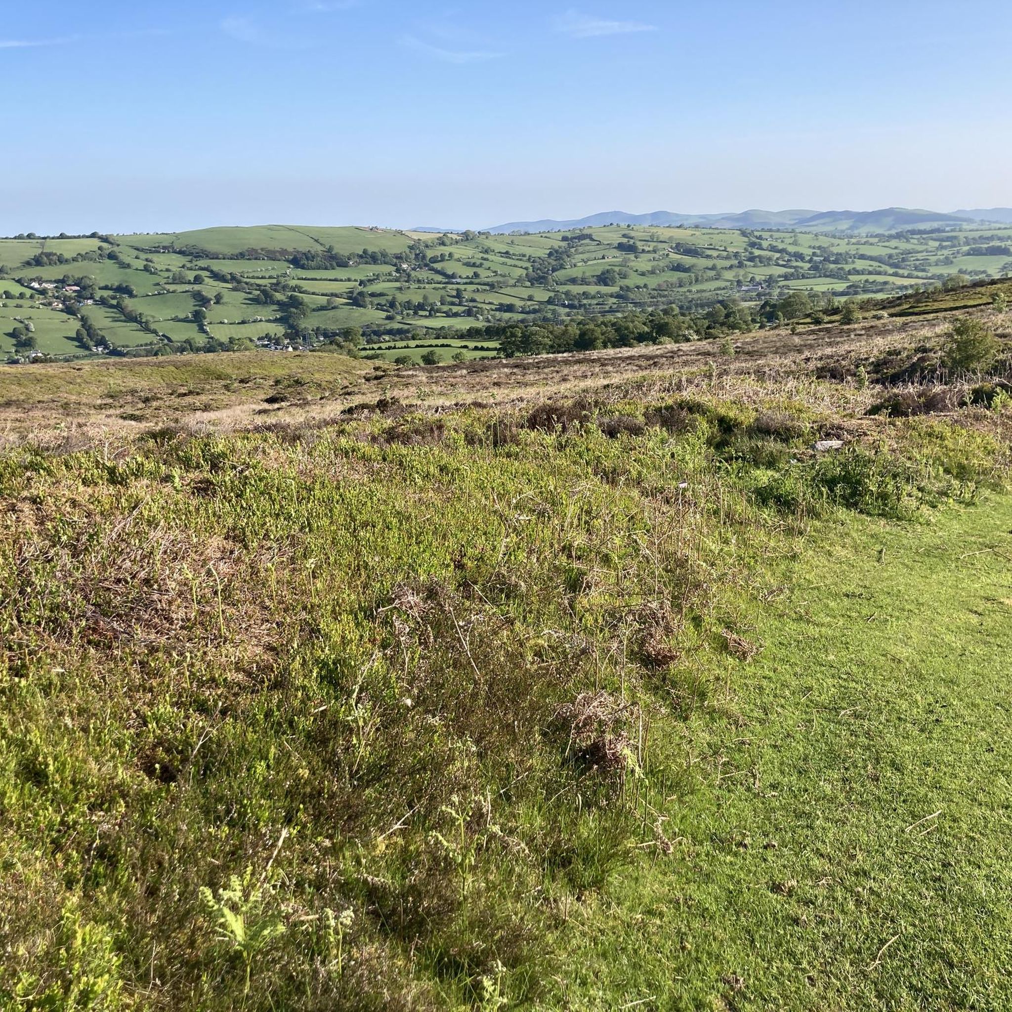
Hiking around Llanelidan offers diverse landscapes, from green valleys to rolling hills and access to more challenging mountain ranges. The region is characterized by the valley of the Afon y Maes, ancient woodlands, and prominent hills like Mynydd Llanelidan. It also serves as a gateway to the wider Clwydian Range and the Berwyn Mountains, providing varied terrain for outdoor activities.
Best hiking trails around Llanelidan
- The most popular hiking route is North Berwyn Way, a 10.3 miles (16.5 km) trail that takes 5 hours 7 minutes to complete. This difficult route involves significant elevation gain, traversing high ground between Corwen and Llangollen.
- Another top favourite among local hikers is Moel Y Gamelin – Llantysilio Viewpoint loop from Bryneglwys, a moderate 4.5 miles (7.3 km) path. This loop offers scenic viewpoints and takes approximately 2 hours 16 minutes to complete.
- Local hikers also love the River Dee and Stone Bridge – Carrog Station loop from Carrog, a 5.3 miles (8.6 km) trail leading through riverside paths and past a stone bridge, often completed in about 2 hours 29 minutes.
- Hiking around Llanelidan is defined by green valleys, rolling hills, and ancient woodlands, with access to the Clwydian Range and Berwyn Mountains. The network offers options for different ability levels, from accessible valley walks to challenging mountain treks.
- The routes in Llanelidan are highly rated by the komoot community with an average score of 4.6 stars from over 600 reviews. More than 7000 hikers have used komoot to explore Llanelidan's varied terrain.
Last updated: October 13, 2026
5.0
(2)
10
hikers
16.5km
05:07
590m
620m
Hard hike. Very good fitness required. Easily-accessible paths. Suitable for all skill levels.
4.5
(13)
54
hikers
7.38km
02:18
270m
270m
Moderate hike. Good fitness required. Easily-accessible paths. Suitable for all skill levels.

3.8
(6)
19
hikers
8.58km
02:30
220m
220m
Moderate hike. Good fitness required. Easily-accessible paths. Suitable for all skill levels.
4.0
(2)
10
hikers
11.1km
03:12
250m
250m
Moderate hike. Good fitness required. Easily-accessible paths. Suitable for all skill levels.
4.3
(4)
12
hikers
10.6km
02:57
190m
190m
Moderate hike. Good fitness required. Easily-accessible paths. Suitable for all skill levels.
Get access to more routes and recommendations from other explorers.
Already have an account?
Our route recommendations are based on thousands of hikes, rides, and runs completed by other people on komoot.
Start today with a free account
Your next adventure awaits.

Tips from the Community


Good food and drink the cafe is popular with bikers and cyclists after climbing the Horseshoe Pass. Bacon butty was one of my favourites. It's definitely worth the stop to enjoy the views from the cafe it's self.
0
0

A welcome sight after cycling up the horseshoe pass if you need a break from the weather, cup of tea, lunch etc.
0
0
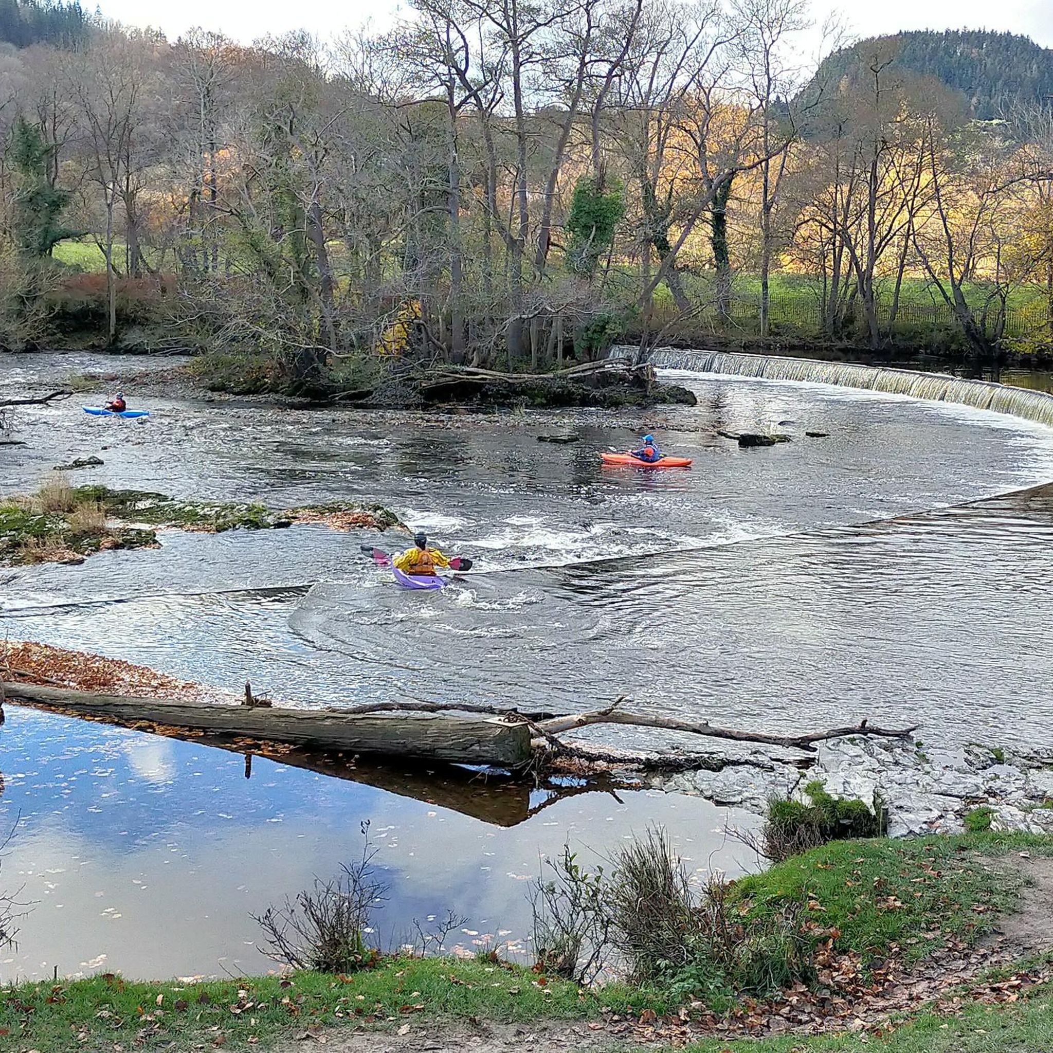
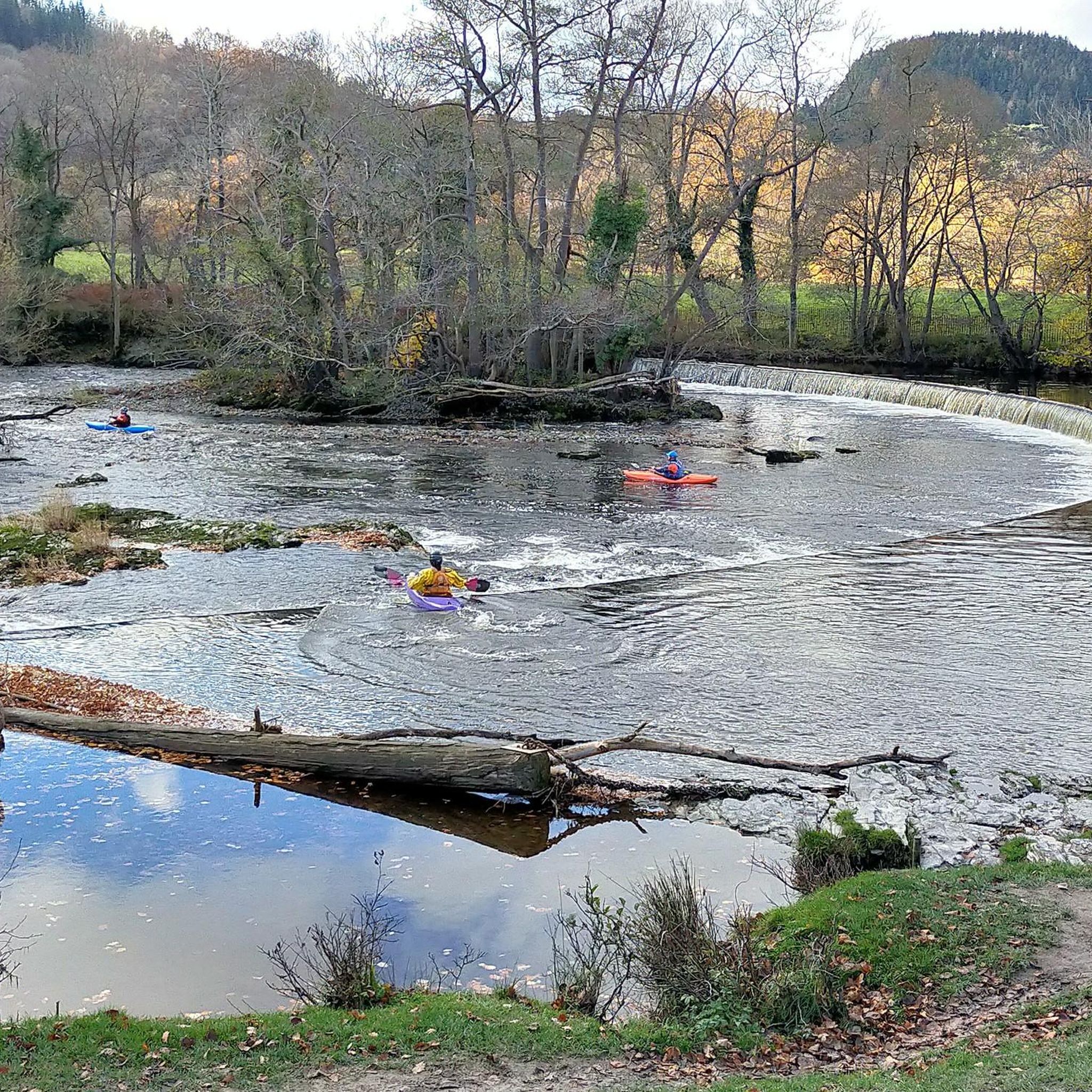
Stunning views of the River Dee very pieceful and beautiful on a sunny day
1
0
The River Dee was the traditional boundary of the Kingdom of Gwynedd in Wales for centuries, possibly since its founding in the 5th century. It was recorded in the 13th century (in mainstream Middle English orthography, lacking the letters v and w) as flumen Dubr Duiu; the name appears to derive from the Brythonic dēvā: "River of the Goddess" or "Holy River". The river is personified as the war and fate goddess Aerfen. The river name inspired the name of Roman fortress Deva Victrix. It is the only river in the UK to be subject to a Water Protection Zone along its whole length down to Chester weir. It is a wonderful place for a stop, absolutely stunning
3
0
Great place for a stop before you climb all the hills on the way back
0
0
Ponderosa Cafe Wales offers the perfect territory to explore on a bike. It is a biker’s haven with plenty of lovely routes that dot the stunning Welsh landscape. Set atop the beautiful Welsh town of Llangollen at the summit of the Horseshoe pass, lies the famous Ponderosa Cafe. It is a family run business and is celebrating its 31st year of being in business. The Ponderosa is one of the most well-known and popular cafes in North Wales. Situated at a height of 1,400 ft above sea level, it offers the most spectacular views of the countryside and has some lovely spots to explore on a trip there. To its north lies the Clwydian Mountain range, which looks enchanting on a clear day. If the weather is good visitors can also catch a glimpse of the three peaks of Snowdon.
4
0

Nice walk a bit of an uphill to start with than it’s flat ish and nice scenic down hill to finish the walk
0
0
Frequently Asked Questions
How many hiking trails are available around Llanelidan?
There are nearly 200 hiking trails around Llanelidan, offering a wide range of options from easy strolls to challenging mountain treks. The area provides diverse landscapes, from green valleys and rolling hills to access to the more demanding Clwydian Range and Berwyn Mountains.
Are there easy hiking trails suitable for beginners or families in Llanelidan?
Yes, Llanelidan offers over 50 easy hiking trails, many of which are suitable for families or those looking for a more relaxed walk. These often follow gentler paths through the green valleys and ancient woodlands, such as those found along the Afon y Maes.
What kind of terrain can I expect on hikes around Llanelidan?
The terrain around Llanelidan is quite varied. You'll find gentle paths through green valleys and ancient woodlands, as well as rolling hills. For more challenging hikes, routes extend into the Clwydian Range and Berwyn Mountains, featuring significant elevation gains and more rugged paths leading to peaks like Moel Fferna and Vivod Mountain.
Are there any challenging hikes for experienced trekkers?
Absolutely. For experienced trekkers, Llanelidan provides access to more strenuous routes, particularly in the Clwydian Range and Berwyn Mountains. A notable challenging route is the North Berwyn Way, a 10.3-mile trail with significant elevation gain that traverses high ground between Corwen and Llangollen.
What interesting landmarks or natural features can I see along the hiking trails?
Hikers can discover a variety of interesting landmarks and natural features. You might encounter ancient monuments like Bwrdd y Tri Arglwydd, or enjoy the beauty of ancient woodlands that transform into bluebell woods in spring. Highlights include the Jubilee Tower on Moel Famau, the viewpoint of Moel Fferna, and the impressive Horseshoe Falls, a significant weir designed by Thomas Telford.
Are there any circular walks available in the area?
Yes, many of the trails around Llanelidan are designed as circular routes, allowing you to start and end at the same point. An example is the Moel Y Gamelin – Llantysilio Viewpoint loop from Bryneglwys, which offers scenic views and brings you back to your starting location.
What is the best time of year to go hiking in Llanelidan?
Llanelidan offers great hiking opportunities throughout the year. Spring is particularly beautiful when the ancient woodlands are filled with bluebells. Summer provides longer daylight hours for extended treks. Autumn brings vibrant foliage, and even winter walks can be rewarding, especially on the lower valley paths, though higher elevations may require more preparation.
Are the hiking trails around Llanelidan dog-friendly?
Many of the trails around Llanelidan are suitable for dogs, allowing you to enjoy the natural beauty with your canine companion. However, it's always advisable to keep dogs on a lead, especially when passing through farmland with livestock, and to check specific route details for any restrictions.
Where can I find parking for hiking trails in Llanelidan?
While specific parking details vary by trailhead, many popular starting points for hikes around Llanelidan offer designated parking areas. For routes like the River Dee and Stone Bridge – Carrog Station loop from Carrog, you'll typically find parking available near the village or specific points of interest. It's recommended to check the route details on komoot for precise parking information.
What do other hikers enjoy most about hiking in Llanelidan?
The area is highly rated by the komoot community, with an average score of 4.6 stars from over 600 reviews. Hikers frequently praise the diverse landscapes, from the peaceful valley walks to the expansive views from higher ground, and the well-maintained paths that cater to various fitness levels.
Are there any pubs or cafes nearby for after a hike?
Yes, after a rewarding hike, you can find pubs and cafes in nearby villages and towns. Llanelidan itself is a small village, but the surrounding area, including places like Corwen or Llangollen, offers options for refreshments and meals to relax and refuel.
Can I reach hiking trails in Llanelidan using public transport?
While public transport options directly to every trailhead might be limited due to the rural nature of Llanelidan, some routes may be accessible via bus services to nearby towns or villages. From these points, you might be able to connect to trails or arrange local transport. Planning ahead and checking local bus schedules is recommended.
Are there any trails that pass through ancient woodlands?
Yes, Llanelidan is known for its ancient and semi-natural woodlands. Several trails, such as the Tunnel of Trees loop from Derwen, will take you through these beautiful wooded areas, which are particularly stunning in spring when bluebells are in bloom.
Most popular attractions around Llanelidan

Get inspired with the komoot mobile app


Explore more
Browse the best Hikes in other regions.
