Attractions and Places To See around Llanarmon-Yn-Ial - Top 20
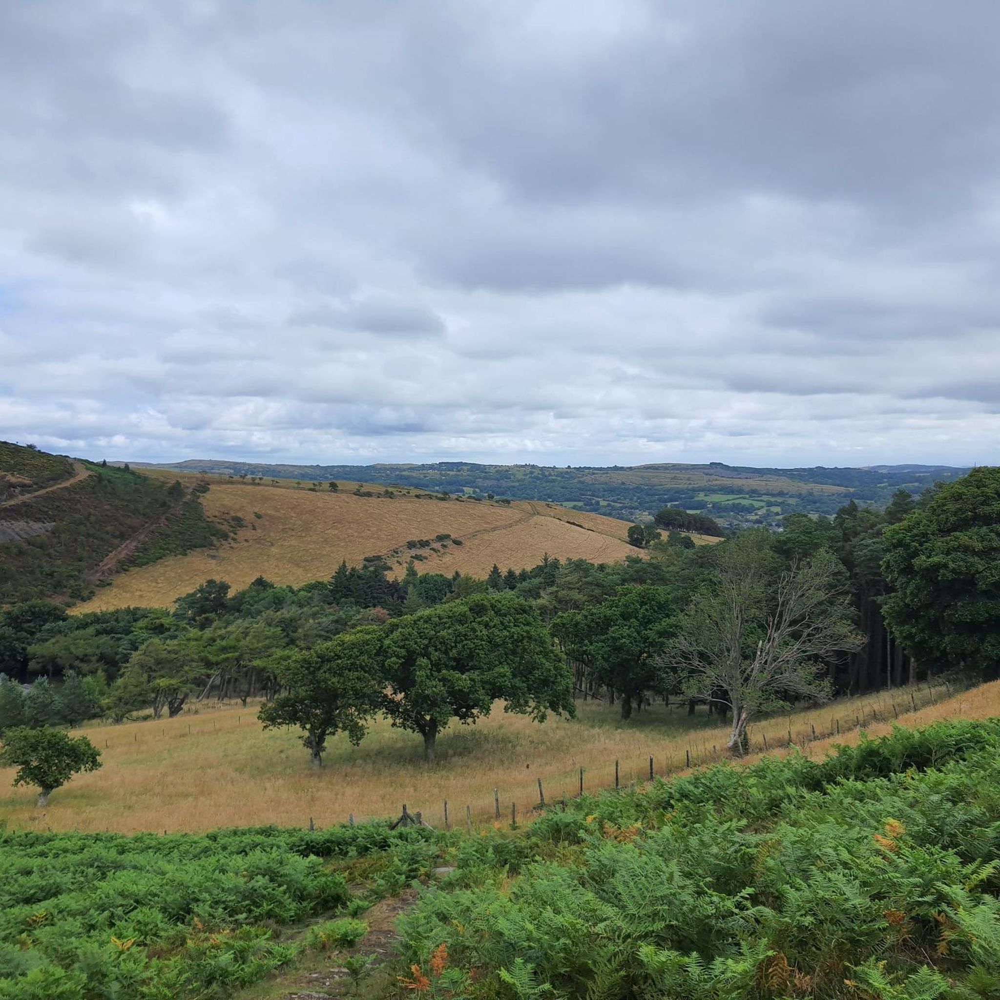
Best attractions and places to see around Llanarmon-Yn-Ial are primarily located within the Clwydian Range, a designated Area of Outstanding Natural Beauty in north-east Wales. This region features a landscape of rolling hills, prominent summits, and historical sites. The area is characterized by its elevated viewpoints and mountain passes, offering opportunities for outdoor exploration. It serves as a base for discovering the natural and man-made landmarks of Denbighshire.
Best attractions and places to see around Llanarmon-Yn-Ial
- The most popular attractions…
Last updated: August 13, 2026
Jubilee Tower on Moel Famau
Highlight • Monument
Tip by

Moel Arthur
Highlight • Viewpoint
Tip by

Sign up now to discover places like this
Get recommendations on the best single tracks, peaks, & plenty of other exciting outdoor places.
Sign up for free
Horseshoe Pass (Bwlch yr Oernant) Climb from Llangollen
Highlight (Segment) • Mountain Pass
Tip by

B-Line (JJ's Jumps) Mountain Bike Trail
Highlight (Segment) • MTB Park
Tip by

Bwlch Penbarras Climb from Llanbedr-Dyffryn-Clwyd
Highlight (Segment) • Viewpoint
Translated by Google •
Tip by

Sign up for free to discover even more attractions around Llanarmon-Yn-Ial.
Sign up for free
Already have an account?
Start today with a free account
Your next adventure awaits.
Login or Signup

Tips from the Community

Savage climb for which I’d recommend at least a 32t on rear. Oh and not doing it on a loaded bike😫 But what a view! And very few cars. Always a bonus. Relatively narrow tarmac. Bit gravelly nearer the bottom but gets smooth and dry once above the trees.
0
0

handy car park for the climb up moel Arthur and to walk a piece of the offas dyke path
1
0

New b line extension, 6 or so huge new berms with big kickers and a push up trail not for the faint hearted ( roll around available)
1
0

Like all hills the weather can turn in an instant take sturdy foot wear and a waterproof jacket :)
1
0

A really interesting monument and not at all how you think it will be when you see it from a distance
1
0

It’s a pretty tough climb popular with cyclists. There are 2 routes to reach the pass. From the west side (from Llanbedr-Dyffryn-Clwyd) the road gains 260 metres (853 feet) in altitude in just 2.25km (1.4 miles), the first half of which is at a gradient approaching 25%, followed by an even-steeper hairpin bend before the gradient finally eases slightly. More than two kilometres in length, the climb is introduced softly but very quickly begins to rise steeply, reaching a fearsome crescendo as it bends left on a huge 25 per cent hairpin. The other route, the east side, has a less severe gradient, but from the summit it is dead-straight for over a mile downhill, which provides an exhilarating descent for cyclists who have struggled up the pass from Llanbedr. Its location also makes it an ideal segment to link up with other climbs in the area, including The Shelf and Horseshoe Pass.
2
0
It’s a pretty tough climb there are 2 routes to reach the pass. From the west side (from Llanbedr-Dyffryn-Clwyd) the road gains 260 metres (853 feet) in altitude in just 2.25km (1.4 miles), the first half of which is at a gradient approaching 25%, followed by an even-steeper hairpin bend before the gradient finally eases slightly. More than two kilometres in length, the climb is introduced softly but very quickly begins to rise steeply, reaching a fearsome crescendo as it bends left on a huge 25 per cent hairpin. The other route, the east side, has a less severe gradient, but from the summit it is dead-straight for over a mile downhill, which provides an exhilarating descent for cyclists who have struggled up the pass from Llanbedr. Its location also makes it an ideal segment to link up with other climbs in the area, including The Shelf and Horseshoe Pass.
5
1
Horseshoe pass (Bwlch yr Oernant) is a 4 mile climb in North Wales near Wrexham, averaging 5% – climbing 311 metres to finish at 1,200 ft (404m). It’s a challenging hill climb, with a few steeper sections of up to 12%, but generally, it feels quite a steady gradient. On a good day, it provides a beautiful backdrop for a hill climb. The Horseshoe Pass is a mountain pass in Denbighshire, north-east Wales. It separates Llantysilio Mountain to the west from the 565 metre mountain and Marilyn Cyrn-y-Brain to the east. The A542 road from Llandegla to Llangollen runs through the pass, reaching a maximum height of 417 metres.
5
1
Frequently Asked Questions
What kind of outdoor activities can I enjoy around Llanarmon-Yn-Ial?
The region offers a variety of outdoor activities, primarily focused on exploring the Clwydian Range. You can enjoy hiking, cycling, and mountain biking. For challenging cycling, the Horseshoe Pass (Bwlch yr Oernant) Climb from Llangollen is a popular choice. Mountain bikers can find thrills at the B-Line (JJ's Jumps) Mountain Bike Trail. For more detailed routes, explore the hiking, running, and gravel biking guides.
Are there good hiking trails near the attractions in Llanarmon-Yn-Ial?
Yes, the area boasts numerous hiking trails suitable for various fitness levels. You can find easy loops like the Nercwys' Cairn loop from Coed Nercwys (3.8 km) or more challenging options such as the Foel Fenlli Summit and Cairn loop (7.4 km). Many trails offer immediate access to scenic views, especially from starting points like Moel Arthur. For a comprehensive list of routes, check out the Hiking around Llanarmon-Yn-Ial guide.
Where can I find the best viewpoints in the Llanarmon-Yn-Ial area?
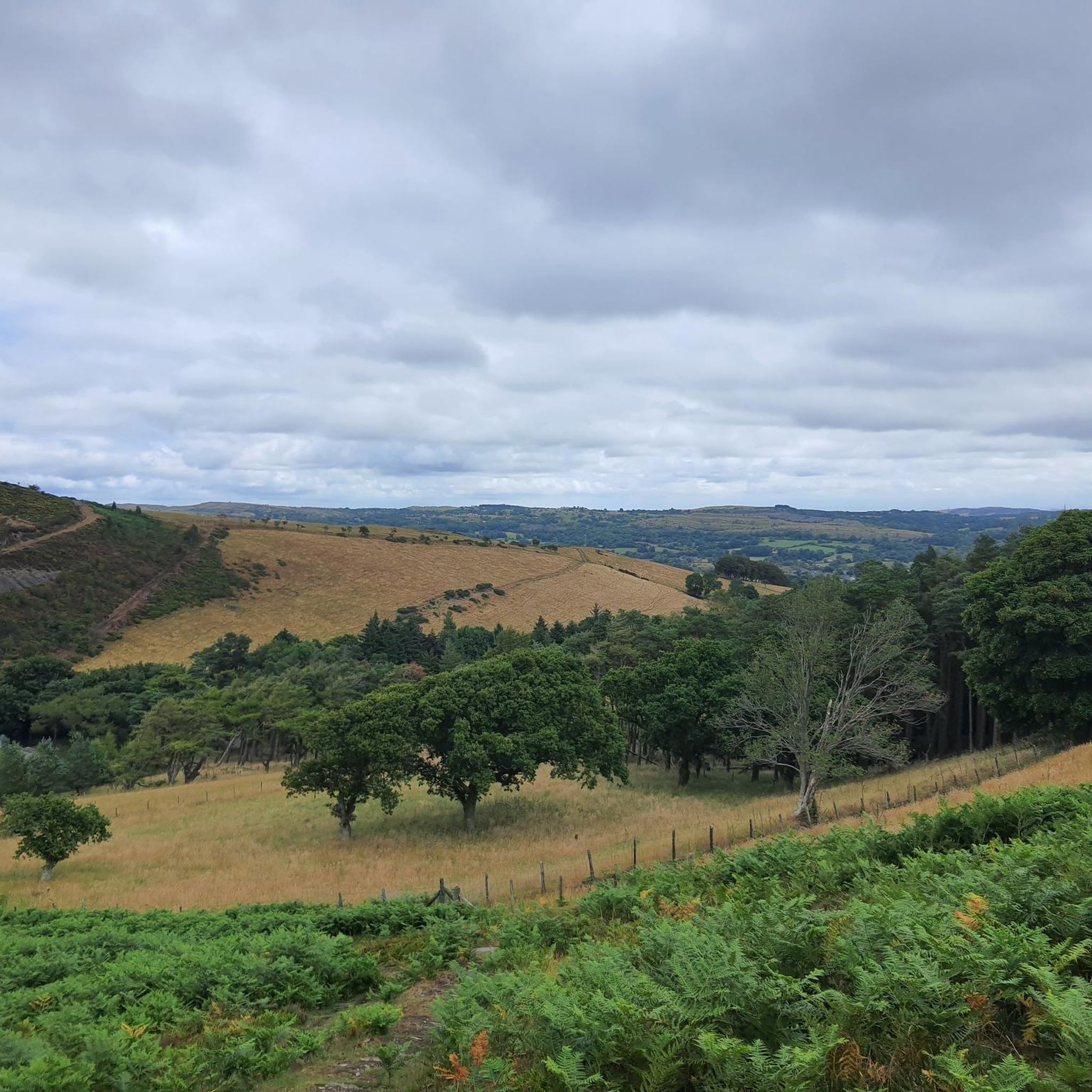
The Clwydian Range, where Llanarmon-Yn-Ial is situated, is renowned for its elevated viewpoints. The summit of Moel Famau, crowned by the Jubilee Tower, offers spectacular panoramic views across the Vale of Clwyd to Snowdonia and the English border. Other notable viewpoints include Moel Arthur, known for its quieter side of the range, and Moel Gyw Summit.
Are there any historical sites to visit around Llanarmon-Yn-Ial?
Yes, the region has historical significance. The most prominent historical site is the Jubilee Tower on Moel Famau. This Grade II-listed monument was built in 1810 to commemorate the golden jubilee of King George III and stands as a testament to the area's past.
What are some easy walking routes suitable for families or those seeking a gentler hike?
For an easier walk, particularly when heading to Jubilee Tower on Moel Famau, there's a gentler route from the car park. Instead of taking the steeper right-hand track, opt for the left-hand track which offers an easier ascent before rejoining the main path. Additionally, the Nercwys' Cairn loop from Coed Nercwys (3.8 km) is an easy hiking option listed in the Hiking around Llanarmon-Yn-Ial guide.
Are there car parking options available at the attractions?
Yes, several attractions offer parking. For instance, Moel Arthur has a small car park, making it a convenient starting point for walks. When visiting Jubilee Tower on Moel Famau, there are car parks available from which you can choose different routes to the summit.
What is the best time of year to visit Llanarmon-Yn-Ial for outdoor activities?
The Clwydian Range is beautiful year-round, but for optimal outdoor activities like hiking and cycling, late spring to early autumn (May to October) generally offers the most pleasant weather. During these months, trails are typically drier, and the views from summits like Moel Famau are clearer.
What should I wear for hiking and outdoor activities in this region?
Given the varied terrain and potential for changeable Welsh weather, it's advisable to wear layers. Sturdy hiking boots are recommended for comfort and support on trails, especially those with uneven surfaces or inclines. Waterproof outerwear is also a good idea, even on seemingly clear days, as conditions can change quickly in the hills.
Are there any challenging cycling routes in the area?
Absolutely. The Horseshoe Pass (Bwlch yr Oernant) Climb from Llangollen is a well-known challenging cycling route. It's just under 6 km long with an average gradient of 5%, featuring steep ramps and sweeping turns. The tarmac can be rough in places, but the views and the sense of achievement at the summit make it a rewarding challenge for cyclists.
What do visitors enjoy most about the attractions around Llanarmon-Yn-Ial?
Visitors frequently praise the spectacular views, particularly from Moel Famau, which offers vistas across the Vale of Clwyd to Snowdonia. The sense of accomplishment after a challenging climb, such as the Horseshoe Pass, is also highly valued. Many appreciate the immediate access to scenic walks from places like Moel Arthur and the overall natural beauty of the Clwydian Range.
Are there any mountain biking trails with jumps in the area?
Yes, mountain biking enthusiasts looking for jumps can head to the B-Line (JJ's Jumps) Mountain Bike Trail. This challenging trail features an optional black, jumps loop off the red trail, with all jumps designed to be rollable, making it accessible for various skill levels.
Most popular routes around Llanarmon-Yn-Ial
Most popular attractions around Llanarmon-Yn-Ial

Get inspired with the komoot mobile app


Explore more
Still not found the Highlight you’re looking for? See guides of the top attractions in other regions:
