The 6 Most Amazing Peaks around Llanfihangel Glyn Myfyr
Best mountain peaks around Llanfihangel Glyn Myfyr are found in a region characterized by its elevated terrain and proximity to the Snowdonia National Park. This area offers a variety of summits and viewpoints, providing opportunities for exploration. The landscape features a mix of natural hills and historical sites, making it suitable for those seeking both physical activity and cultural interest.
Best mountain peaks around Llanfihangel Glyn Myfyr
- The most popular mountain peaks is Llys y Frenhines Monument, a man_made_monument…
Last updated: July 31, 2026
Llys y Frenhines Monument
Highlight • Monument
Tip by

Foel Goch summit
Highlight • Viewpoint
komoot.com/tour/272531046
Tip by

Sign up now to discover places like this
Get recommendations on the best single tracks, peaks, & plenty of other exciting outdoor places.
Sign up for free
Mwdwl-eithin Summit and Ruins
Highlight • Historical Site
Tip by
Carnedd y Filiast Summit
Highlight • Viewpoint
Tip by
Craig Bron-Banog Hill and Mast
Highlight • Structure
Tip by

Sign up for free to discover even more peaks around Llanfihangel Glyn Myfyr.
Sign up for free
Already have an account?
Start today with a free account
Your next adventure awaits.
Login or Signup
Popular around Llanfihangel Glyn Myfyr
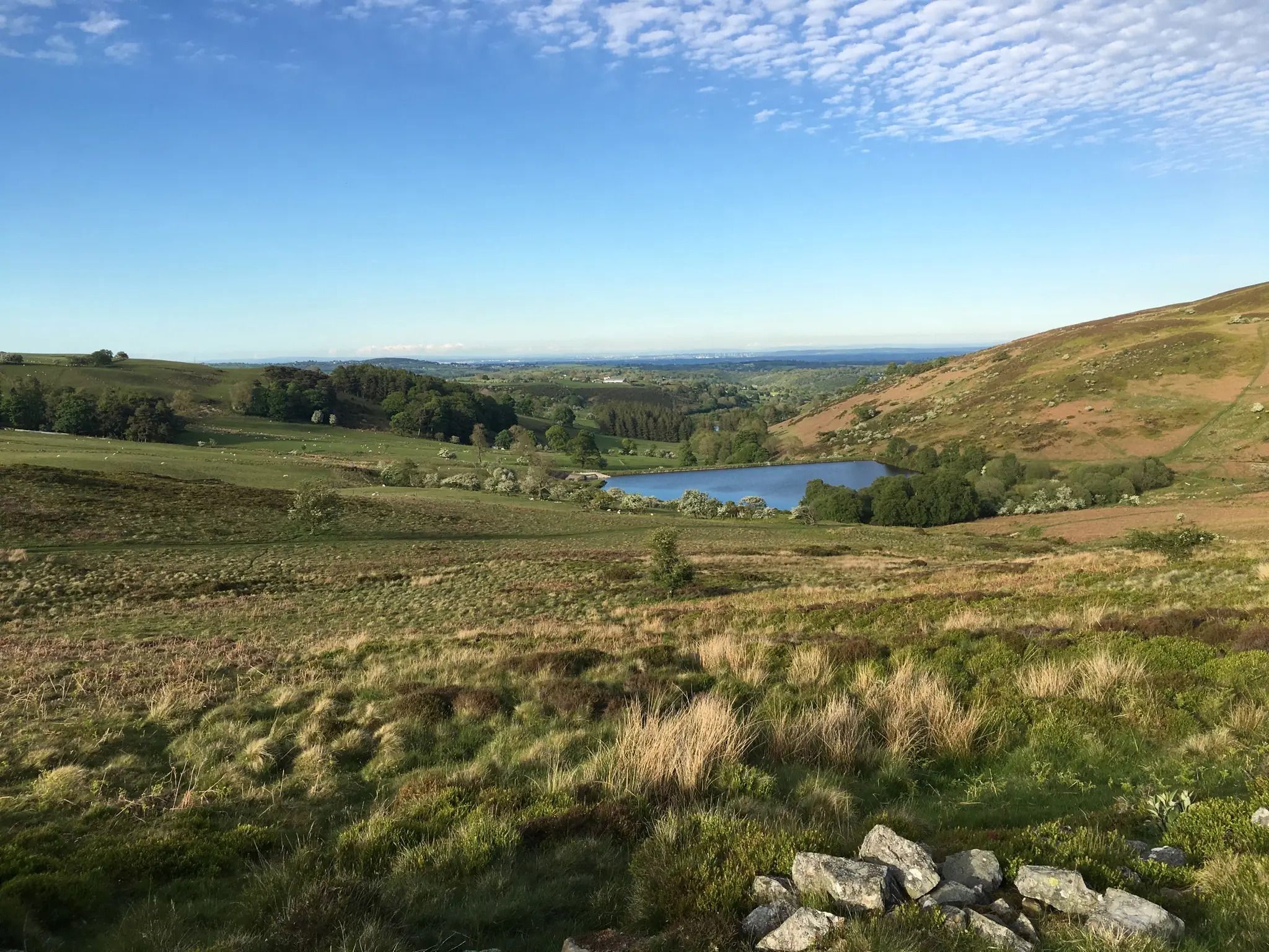
North-East Wales' Secret MTB Paradise — The Triban Trail
Gravel biking around Llanfihangel Glyn Myfyr
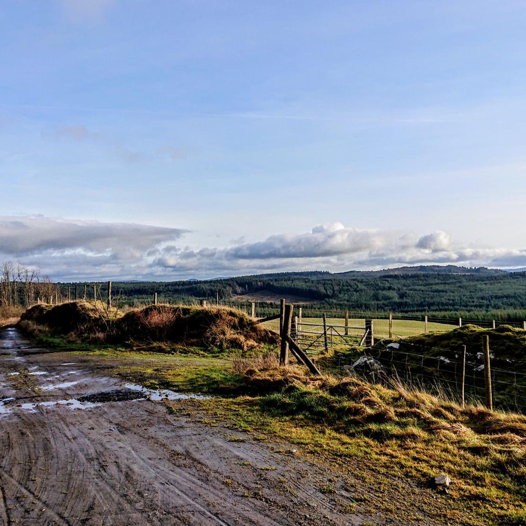
Cycling around Llanfihangel Glyn Myfyr
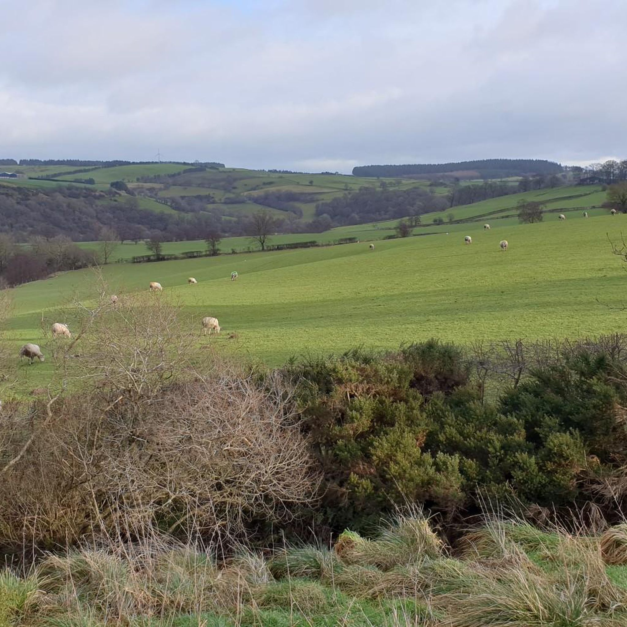
MTB Trails around Llanfihangel Glyn Myfyr
Hiking around Llanfihangel Glyn Myfyr
Road Cycling Routes around Llanfihangel Glyn Myfyr
Running Trails around Llanfihangel Glyn Myfyr
Other adventures around Llanfihangel Glyn Myfyr

Tips from the Community

Nice walk a bit of an uphill to start with than it’s flat ish and nice scenic down hill to finish the walk
0
0

Mdwl-ethin 532m P263 (1745ft) Welsh Dewey/ Dodd summit
0
0

Basically followed the Nuttalls route up and back. Unlike them I had no difficulty keeping to the path all the way. It is very evident on the ground as long as you watch whete you sre going. Great viewpoint.
0
0

A small hill that packs a punch! Surprising views beside the big mast, there's even a small picnic table if you look carefully.
0
0
One of the highest points in the forest. Picnic table at the top by the pylons too. The better approach is from the track arriving South of the point, rather than from the Northwest (which is incredibly muddy and rutted!)
1
0

Mwdwl-eithin is the highest point on the Denbigh Moors of North Wales. This gently rising mountain lies about 10 miles east of Betws-y-Coed. On its summit is a trig point and a ruined building which still provides shelter against a storm. A few metres away is a large raised stone cairn. It is a UK listed Marilyn.
1
0
Carnedd y Filiast is a mountain near Cerrigydrudion on the border of the Snowdonia National Park, North Wales and is 2,195 feet (669 m) high. It is listed as a UK Nuttall.
2
1
Foel Goch is a stand alone Nuttall that sits just outside Snowdonia National Park near Bala but is still in the Arenig mountain range. Follow this link for my route to the summit. https://www.komoot.com/tour/272531046
1
0
Frequently Asked Questions
What are some of the most popular mountain peaks to explore around Llanfihangel Glyn Myfyr?
Visitors frequently enjoy Llys y Frenhines Monument, which offers a scenic walk with some hilly sections. Other popular spots include Foel Goch summit for its clear paths and great views, and Mwdwl-eithin Summit and Ruins, the highest point on the Denbigh Moors with historical interest.
Are there any historical sites or monuments among the peaks in this area?
Yes, the region offers a blend of natural beauty and history. You can visit Llys y Frenhines Monument, a man-made monument that involves a walk with some hilly sections. Additionally, Mwdwl-eithin Summit and Ruins is a historical site featuring a trig point, a ruined building for shelter, and a large raised stone cairn.
What kind of views can I expect from the mountain peaks around Llanfihangel Glyn Myfyr?
The peaks offer diverse and rewarding views. For instance, Foel Goch summit is a well-regarded viewpoint in the Arenig mountain range, known for its expansive vistas. Craig Bron-Banog Hill and Mast also provides surprising views from one of the highest points in the local forest.
Are there any less crowded mountain walks or hidden gems in the area?
While specific crowd levels vary, exploring peaks slightly off the main tourist routes can offer a quieter experience. Carnedd y Filiast Summit, located near Cerrigydrudion on the border of Snowdonia National Park, is a notable Nuttall peak that might offer a more serene hike compared to the more heavily trafficked areas of Snowdonia.
What is the best time of year to hike the mountain peaks near Llanfihangel Glyn Myfyr?
The best time to hike is generally from late spring to early autumn (May to October) when the weather is milder and days are longer. However, conditions can change rapidly in the Welsh mountains, so always check the local forecast and be prepared for all types of weather, even in summer.
What outdoor activities can I do near these mountain peaks besides hiking?
Beyond hiking, the area around Llanfihangel Glyn Myfyr offers excellent opportunities for cycling. You can find various routes for road cycling, gravel biking, and general cycling. Explore options like the 'Moel Arthur Climb' for road cycling or the 'Two Lakes cycle trail' for gravel biking. For more details, check out the guides for Road Cycling Routes, Gravel Biking, and Cycling around Llanfihangel Glyn Myfyr.
Are there any family-friendly mountain walks or peaks suitable for children?
Many of the walks to the peaks in this region, such as the path to Llys y Frenhines Monument, involve hilly sections but are generally manageable for families with active children. Always consider the fitness level of your group and choose routes that match their capabilities. Shorter, well-defined paths are often best for younger hikers.
What should I wear when hiking in the Welsh mountains around Llanfihangel Glyn Myfyr?
Layering is key due to changeable mountain weather. Essential items include waterproof and windproof outer layers, warm mid-layers (fleece), moisture-wicking base layers, sturdy hiking boots, and a hat and gloves. Even on sunny days, conditions can shift quickly, so be prepared for rain, wind, and cooler temperatures.
Are there any facilities like cafes or pubs near the mountain trails?
While the immediate vicinity of some remote peaks might not have direct facilities, you'll find cafes and pubs in nearby villages and towns such as Cerrigydrudion or Bala. It's always a good idea to plan your route to include stops in these settlements or carry sufficient supplies for your hike.
How long do typical hikes to these mountain peaks take?
The duration of hikes varies depending on the specific peak and your pace. For example, the walk to Llys y Frenhines Monument involves some hilly sections but can be completed as a pleasant walk. Peaks like Foel Goch summit or Mwdwl-eithin Summit and Ruins might involve longer, more sustained ascents. Plan for a few hours to a half-day for most individual peak excursions, allowing time for breaks and enjoying the views.
Is it possible to access these mountain peaks using public transport?
Accessing some of the more remote mountain peaks directly by public transport can be challenging. While bus services connect larger towns in Snowdonia and the surrounding areas, reaching specific trailheads often requires a car or a combination of public transport and a taxi. It's advisable to research specific routes and local bus timetables in advance if relying on public transport.
Most popular routes around Llanfihangel Glyn Myfyr
Most popular attractions around Llanfihangel Glyn Myfyr

Get inspired with the komoot mobile app


Explore more
See even more amazing summits around Llanfihangel Glyn Myfyr with these guides:
