The best mountain hikes around Waunfawr
4.9
(12)
121
hikers
5
hikes
Mountaineering routes around Waunfawr traverse the rugged terrain of Snowdonia, a region characterized by its high peaks and deep valleys. The landscape features prominent summits like Snowdon and Garnedd Ugain, offering significant elevation gains. These routes often involve challenging ascents and descents across rocky paths and open mountain slopes.
Best mountaineering routes around Waunfawr
- The most popular mountaineering route is Snowdon Summit loop from Llanberis, a 9.4 miles (15.1 km) trail that takes 5 hours 35 minutes to complete.…
Last updated: May 11, 2026
4.7
(6)
68
hikers
15.3km
05:37
940m
940m
Hard mountaineering route. Very good fitness required. Mostly accessible paths. Sure-footedness required.
5.0
(2)
22
hikers
12.2km
04:48
840m
840m
Hard mountaineering route. Good fitness required. Sure-footedness, sturdy shoes and alpine experience required.

Sign up for free
5.0
(3)
13
hikers
12.9km
05:02
890m
890m
Hard mountaineering route. Very good fitness required. Mostly accessible paths. Sure-footedness required.
10
hikers
9.39km
03:52
570m
570m
Hard mountaineering route. Good fitness required. Sure-footedness, sturdy shoes and alpine experience required.
5.0
(1)
8
hikers
13.7km
06:30
920m
920m
Hard mountaineering route. Very good fitness required. Sure-footedness, sturdy shoes and alpine experience required.
Our route recommendations are based on thousands of hikes, rides, and runs completed by other people on komoot.
Start today with a free account
Your next adventure awaits.
Login or Signup
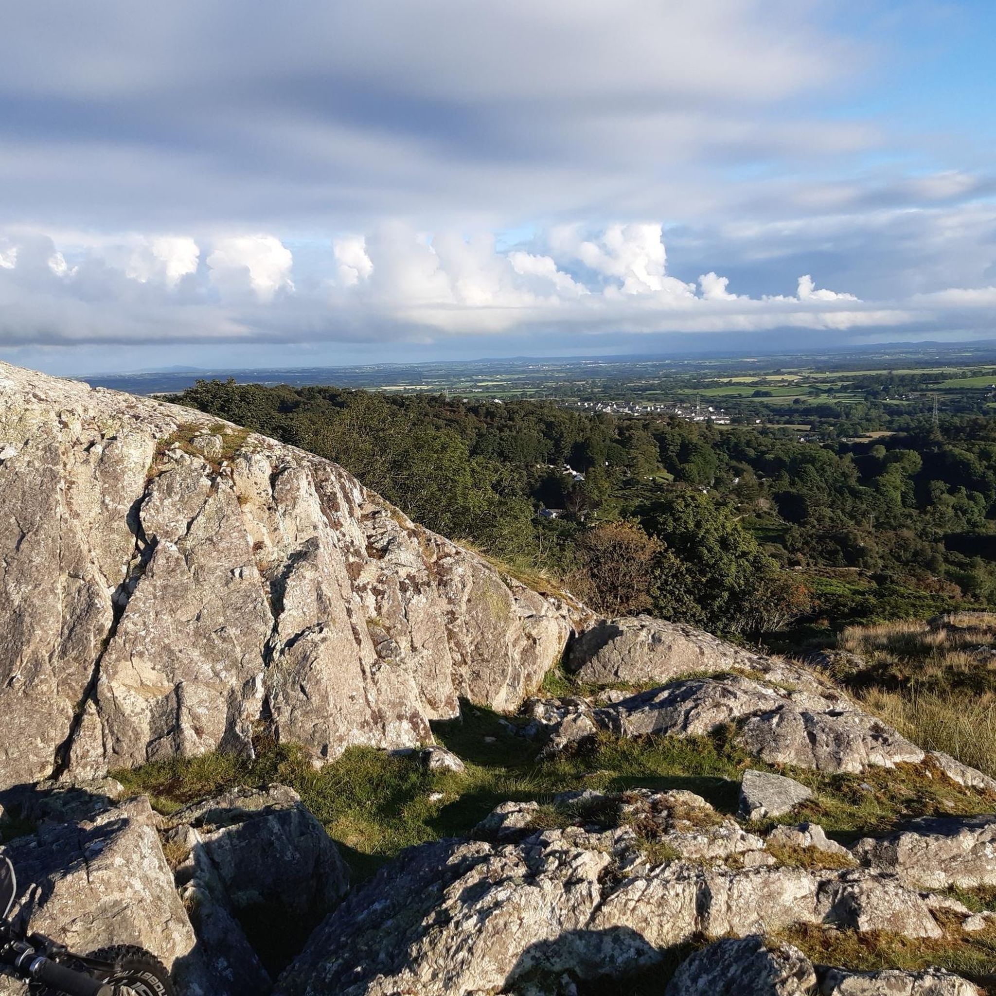
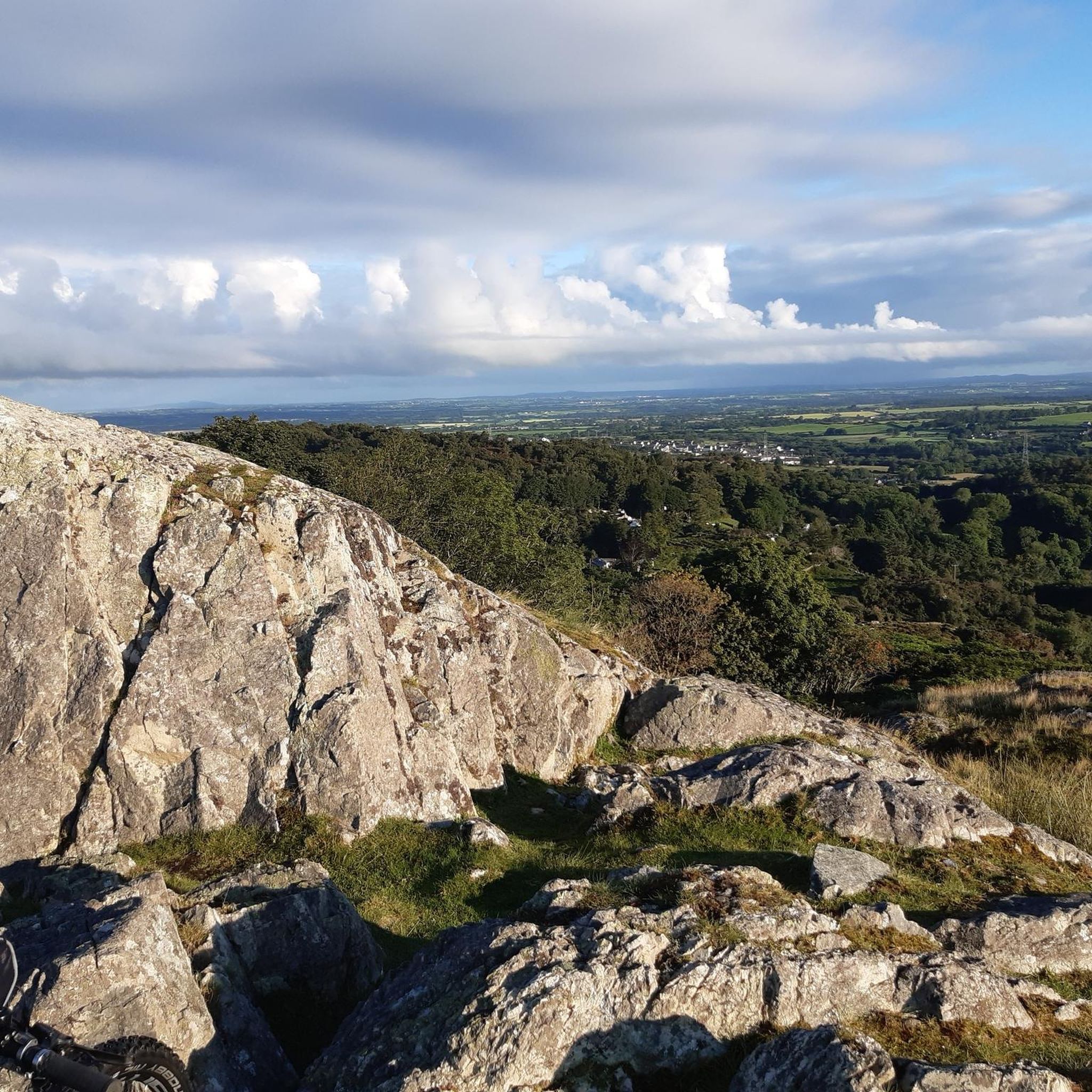
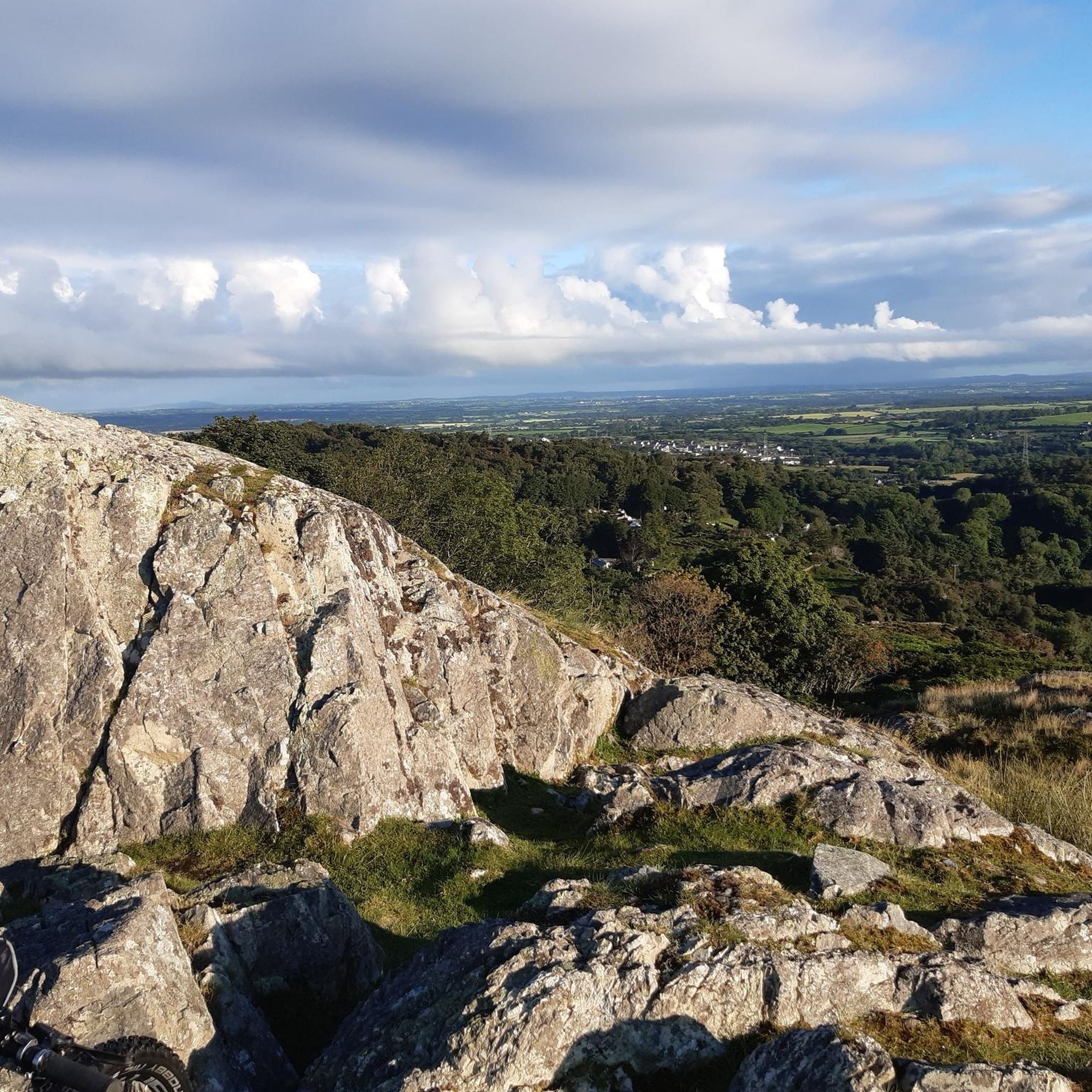
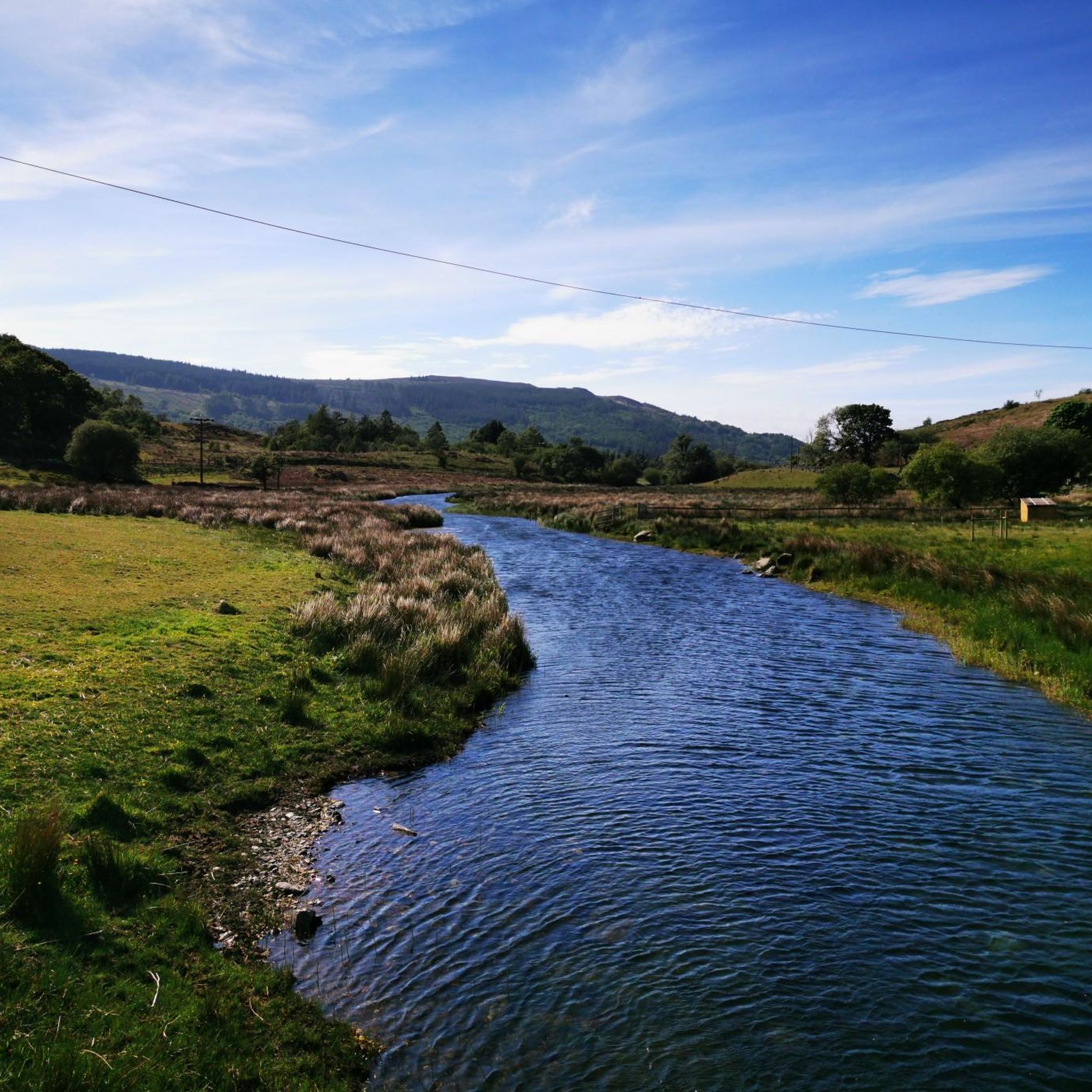
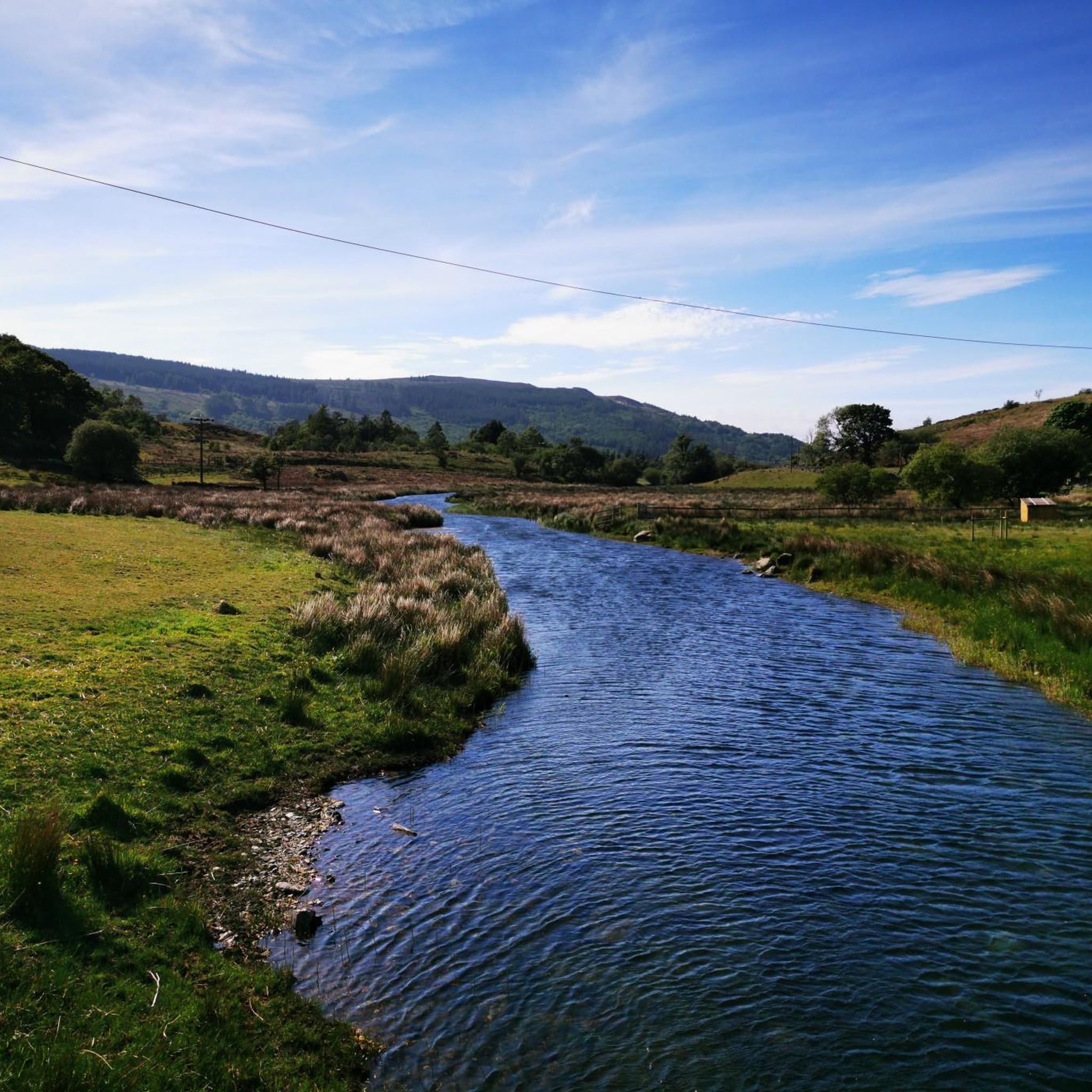
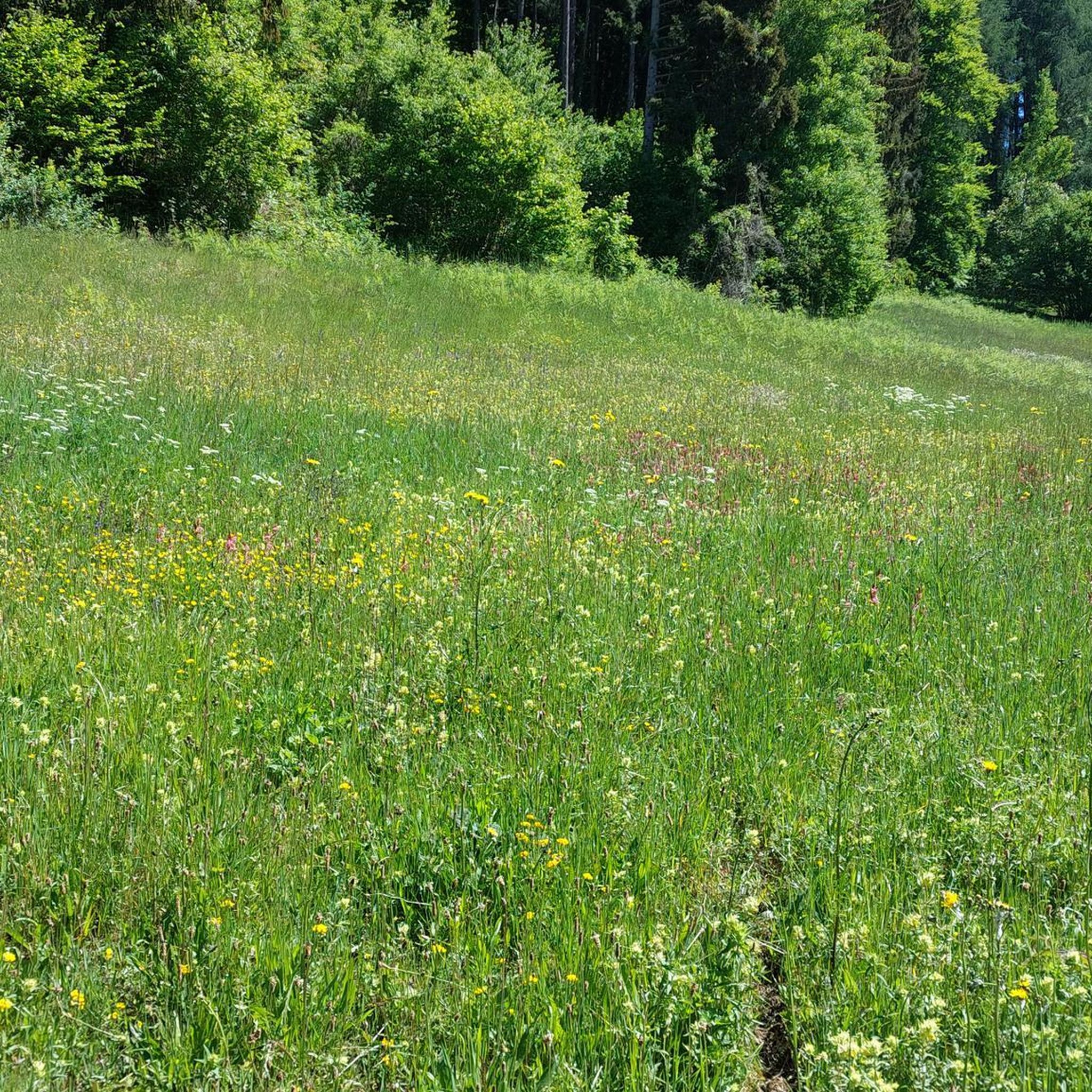
Tips from the Community

Along the paths, you will regularly find rows of fallen trees, felled by strong gusts of wind.
7
0
I don't know if this is a bridle path or not. This is in any case the start of the Rhyd-ddu path to the summit of Snowdon. It starts at the Rhyd-ddu station of the Welsh Highland Railway, where ample paid parking is available.
9
0

Depending on fitness levels this route on average takes around 5hrs up and down.
1
0

I think the start and the end is probably the hardest but overall pretty easy path you can’t get lost
0
0

The best view to be had of these two lakes is from the Crib Goch, and they will be a long way below you.
0
0

Great view of the lake and the climb to come , stopped for a quick brew before the ascent up
0
0
The Bwlch Main (south west ridge) is a great way to descend from the summit of Snowdon, particularly on a winter's day. Great views all the way to the Irish Sea
0
0

Frequently Asked Questions
What is the general difficulty level of mountaineering routes around Waunfawr?
Mountaineering routes in the Waunfawr area are predominantly challenging. Out of the 10 routes available, 8 are classified as difficult, with the remaining 2 being moderate. This reflects the rugged terrain and significant elevation gains characteristic of Snowdonia.
Are there any beginner-friendly mountaineering options near Waunfawr?
While most routes around Waunfawr are rated difficult, there are a couple of moderate options that might be more suitable for those with some experience looking for a less strenuous challenge. For example, the Y Garn Summit (Nantlle Ridge) – Mynydd Drws-y-Coed loop from Rhyd-ddu is a difficult route but at 9.37 km, it's one of the shorter options, which can be a good introduction to the area's terrain.
What are some of the best viewpoints or natural landmarks to see on these routes?
The routes offer expansive vistas across Snowdonia National Park. You'll encounter prominent features like the Snowdon Summit (Yr Wyddfa) itself, and the challenging Crib Goch Ridge. Other notable highlights include Bwlch Glas Pass and the Pen-y-Pass Ascent from Nant Gwynant, both offering stunning views.
Are there any circular mountaineering routes available from Waunfawr?
Yes, many of the mountaineering routes around Waunfawr are designed as loops, allowing you to start and finish in the same location. Examples include the Snowdon Summit loop from Llanberis and the Y Garn Summit (Nantlle Ridge) – Mynydd Drws-y-Coed loop from Rhyd-ddu.
How long do mountaineering routes near Waunfawr typically take to complete?
The duration of mountaineering routes around Waunfawr varies depending on the specific trail and your pace. For instance, the Snowdon Summit loop from Rhyd-ddu typically takes around 4 hours 48 minutes, while the more extensive Garnedd Ugain Summit – Snowdon Summit loop from Rocky Valley Halt can take approximately 7 hours 24 minutes.
What do other mountaineers enjoy most about the routes in Waunfawr?
The mountaineering routes in Waunfawr are highly rated by the komoot community, with an average score of 4.6 stars from over 17 reviews. Users frequently praise the challenging ascents, the dramatic mountain scenery, and the expansive vistas across the Snowdonia National Park.
Is there parking available near the starting points of these mountaineering routes?
Yes, several routes have access to parking. For example, Pen-y-Pass is a well-known parking area that serves as a starting point for various routes, including those leading to Snowdon Summit.
Are there any less crowded mountaineering trails around Waunfawr?
While popular summits like Snowdon can attract many visitors, exploring routes that venture slightly off the main paths or starting earlier in the day can offer a more tranquil experience. The Snowdon Summit loop from Snowdon Ranger might offer a slightly different perspective compared to the more frequently used Llanberis path.
What is the best time of year for mountaineering in Waunfawr?
The best time for mountaineering in Waunfawr, like much of Snowdonia, is generally from late spring to early autumn (May to October) when weather conditions are more stable, and daylight hours are longer. However, conditions can change rapidly in the mountains, so always be prepared for all weather.
What kind of gear should I bring for mountaineering in Waunfawr?
Given the challenging and rugged nature of the routes, appropriate gear is essential. This includes sturdy hiking boots with good ankle support, waterproof and windproof clothing, layers for warmth, a map and compass (or GPS device), sufficient food and water, and a first-aid kit. Conditions can change quickly, so be prepared for all weather.
Are there any cafes or facilities near the mountaineering routes in Waunfawr?
While Waunfawr itself is a smaller village, many popular starting points for Snowdonia routes, such as Llanberis or Pen-y-Pass, offer facilities like cafes, shops, and visitor centers where you can refuel and prepare for your hike. It's always advisable to check opening times in advance.
Can I access these mountaineering routes using public transport?
Public transport options are available to various access points in Snowdonia. For instance, bus services often connect major towns and villages to popular trailheads like Llanberis or Pen-y-Pass. It's recommended to check local bus timetables for specific routes and connections to your chosen starting point.
Most popular attractions around Waunfawr

Get inspired with the komoot mobile app


Explore more
Browse the best Mountain Hikes & Routes in other regions.
