The best road cycling routes around Grins
4.4
(105)
2,991
riders
19
rides
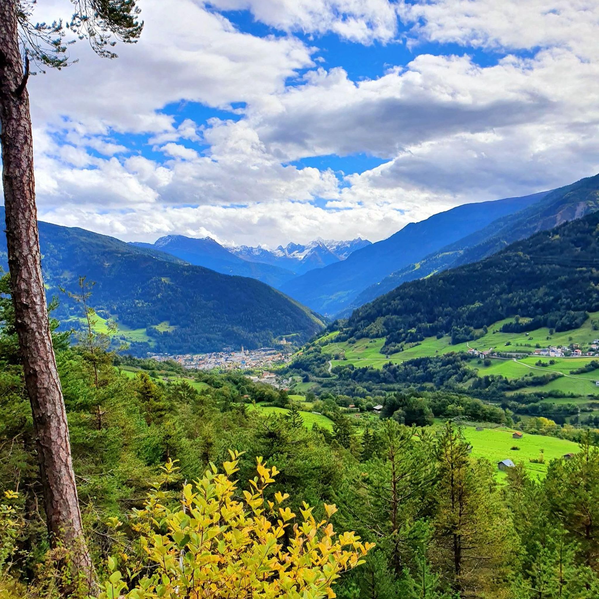
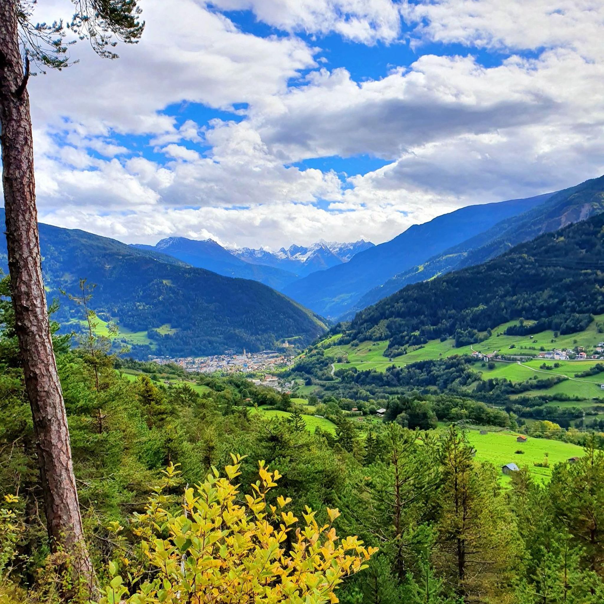
Road cycling around Grins offers diverse terrain within a mountainous setting in Tyrol, Austria. The region features exceptional mountain scenery and an amazing natural landscape, providing a backdrop of lush surroundings for cycling adventures. Cyclists can find relaxed cycle paths along the Inn River, which includes a wooden covered bridge, as well as more challenging ascents through the mountainous terrain. The area is characterized by its river valleys, gorges like Stanzertal, and varied elevation profiles suitable for different road cycling…
Last updated: October 11, 2026
4.6
(45)
1,215
riders
Moderate road ride. Good fitness required. Some segments of this route may be unpaved and difficult to ride.
4.4
(25)
545
riders
40.2km
01:43
210m
210m
Moderate road ride. Great for any fitness level. Some segments of this route may be unpaved and difficult to ride.

4.6
(14)
372
riders
Moderate road ride. Good fitness required. Mostly well-paved surfaces and easy to ride.
4.7
(7)
235
riders
51.2km
02:56
1,120m
1,120m
Hard road ride. Very good fitness required. Some segments of this route may be unpaved and difficult to ride.
5.0
(3)
146
riders
Moderate road ride. Good fitness required. Some segments of this route may be unpaved and difficult to ride.
Get access to more routes and recommendations from other explorers.
Already have an account?
Our route recommendations are based on thousands of hikes, rides, and runs completed by other people on komoot.
Start today with a free account
Your next adventure awaits.



Tips from the Community

Beautiful view from the bridge over the Inn.
2
0
Pleasant cycle path to ride.
1
0


Officially, you are not allowed to ride through this tunnel. However, nobody adheres to this downhill and it is a good alternative to the gravel path.
0
0

From this location, there is an excellent view over the lake. 🤩 #View #Lake #Location
1
0

From Tyrol to Engadin, great 🚵
0
0
Wonderful cycle path along the Inn
2
1

This brutalist church was built from 1965 to 1967 according to plans by architect Norbert Heltschl. The freestanding, sculptural bell tower is particularly striking. A drinking water fountain is located directly next to the tower.
1
0
Frequently Asked Questions
What types of terrain can I expect on road cycling routes around Grins?
Road cycling around Grins offers a diverse range of terrain. You'll find relaxed cycle paths along the Inn River, featuring a charming wooden covered bridge, as well as more challenging ascents through the mountainous terrain. The region is characterized by its river valleys, dramatic gorges like Stanzertal, and varied elevation profiles.
Are there road cycling routes suitable for beginners or families in Grins?
Yes, Grins offers options for various skill levels. For beginners or families, there are 4 easy routes available. These often follow the more relaxed cycle paths along the Inn River, providing a gentle introduction to road cycling in the region. The Inntal Cycle Path Section Mils – Inn Valley Cycle Path loop from Landeck-Zams is a moderate route that follows the Inn Valley and could be suitable for those looking for a less strenuous ride.
What are some challenging road cycling routes for experienced riders in Grins?
For experienced road cyclists seeking a challenge, Grins offers 8 difficult routes. These typically feature significant elevation gains and traverse mountainous terrain. A notable difficult route is the Kops Reservoir – Landeck Town Center loop from Landeck-Zams, which covers 117.6 km with over 2,100 meters of elevation gain, leading towards the Kops Reservoir. Another challenging option is the Wooden Bridge Over the Inn – Pillerhöhe loop from Landeck-Zams, featuring over 1,100 meters of ascent.
What natural attractions or landmarks can I see while road cycling near Grins?
The region around Grins is rich in natural beauty and historical sites. Cyclists can pass by the breathtaking Grins Waterfall or experience the dramatic views of the Stanzertal Gorge. The Inn River itself is a prominent feature, with a historic wooden covered bridge near Nesselgarten. While cycling, you might also encounter historical sites like the Kronburg ruins and Landeck Castle, or even an old Roman bridge near Stanz.
What do other road cyclists say about the routes in Grins?
The road cycling routes in Grins are highly rated by the komoot community, with an average score of 4.6 stars from over 120 reviews. Cyclists often praise the exceptional mountain scenery, the amazing natural landscape, and the variety of routes that cater to different skill levels, from relaxed river paths to challenging mountain ascents.
Are there any circular road cycling routes around Grins?
Yes, many of the road cycling routes around Grins are designed as loops, allowing you to start and end in the same location. For example, the Wooden Bridge Over the Inn – Tösner Inn Bridge loop from Landeck-Zams is a popular circular route that follows the Inn River.
What is the best time of year for road cycling in Grins?
Grins and the wider Tyrol West region are highlighted as a summer paradise, suggesting that the warmer months are ideal for road cycling. The lush landscapes and stunning mountain scenery are best enjoyed when the weather is favorable, typically from late spring through early autumn.
Are there any specific points of interest or viewpoints along the road cycling routes?
Beyond the natural beauty, you can find several points of interest. The Schönjochbahn Summit Station & Art Trail offers a viewpoint, and the Pure panorama highlight also promises stunning vistas. These can be integrated into your cycling plans for scenic breaks.
How long are the road cycling routes typically around Grins?
The routes vary significantly in length to suit different preferences. You can find shorter routes like the Inntal Cycle Path Section Mils – Inn Valley Cycle Path loop from Landeck-Zams, which is about 41.9 km. Longer and more challenging options, such as the St. Anton am Arlberg – Galzigbahn Valley Station loop from Landeck-Zams, can be around 58.5 km, while the Kops Reservoir – Landeck Town Center loop from Landeck-Zams extends to 117.6 km.
Are there options for combining road cycling with other activities or exploring nearby areas?
Absolutely. The region encourages combining cycling with visits to historical sites like Schloss Landeck or local farmers' markets. The Inn Cycle Path, for instance, can lead past historic sites. Additionally, you can explore nearby attractions such as various huts and cabins, including the Memminger Hut or Ascher Hut, which are popular destinations for hikers and can be reached from certain cycling routes.
What is the typical elevation gain on road cycling routes in Grins?
Elevation gain varies greatly depending on the route's difficulty. Easy routes along the river will have minimal gain, while difficult routes can feature significant ascents. For example, the Wooden Bridge Over the Inn – Tösner Inn Bridge loop from Landeck-Zams has an elevation gain of around 860 meters, while the challenging Kops Reservoir – Landeck Town Center loop from Landeck-Zams boasts over 2,100 meters of climbing.
Most popular attractions around Grins

Get inspired with the komoot mobile app


Explore more
Browse the best Road cycling routes in other regions.
