The best road cycling routes around Woolsington
4.4
(349)
14,932
riders
23
rides
Road cycling routes around Woolsington offer a diverse landscape of green spaces and agricultural land, providing a rural setting northwest of Newcastle city center. The terrain is generally flat with subtle northern-oriented hills, making it suitable for various cycling abilities. Historic parkland, such as Woolsington Park, and natural features like the Ouse Burn, contribute to the scenic routes available. The area also provides access to the broader Northumberland countryside.
Best road cycling routes around Woolsington
- The most popular road cycling…
Last updated: October 8, 2026
4.4
(7)
288
riders
63.3km
02:49
540m
540m
Moderate road ride. Good fitness required. Mostly well-paved surfaces and easy to ride.
99
riders
97.1km
04:41
920m
920m
Hard road ride. Very good fitness required. Mostly well-paved surfaces and easy to ride.

3.0
(1)
108
riders
55.2km
02:26
430m
430m
Moderate road ride. Good fitness required. Mostly well-paved surfaces and easy to ride.
5.0
(1)
80
riders
107km
04:53
1,110m
1,110m
Hard road ride. Very good fitness required. Mostly well-paved surfaces and easy to ride.
80
riders
72.1km
03:04
510m
510m
Moderate road ride. Good fitness required. Mostly well-paved surfaces and easy to ride.
Get access to more routes and recommendations from other explorers.
Already have an account?
Our route recommendations are based on thousands of hikes, rides, and runs completed by other people on komoot.
Start today with a free account
Your next adventure awaits.
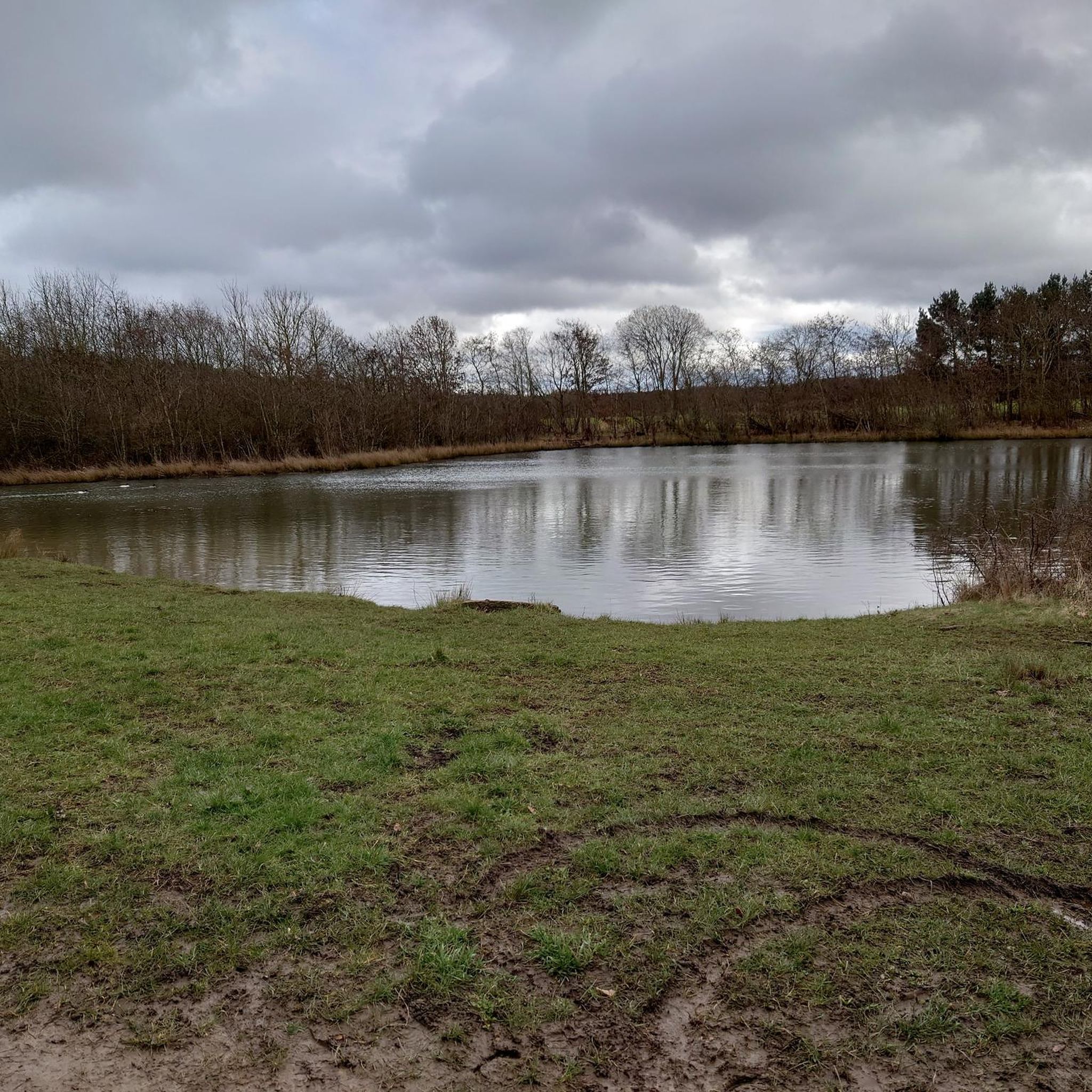
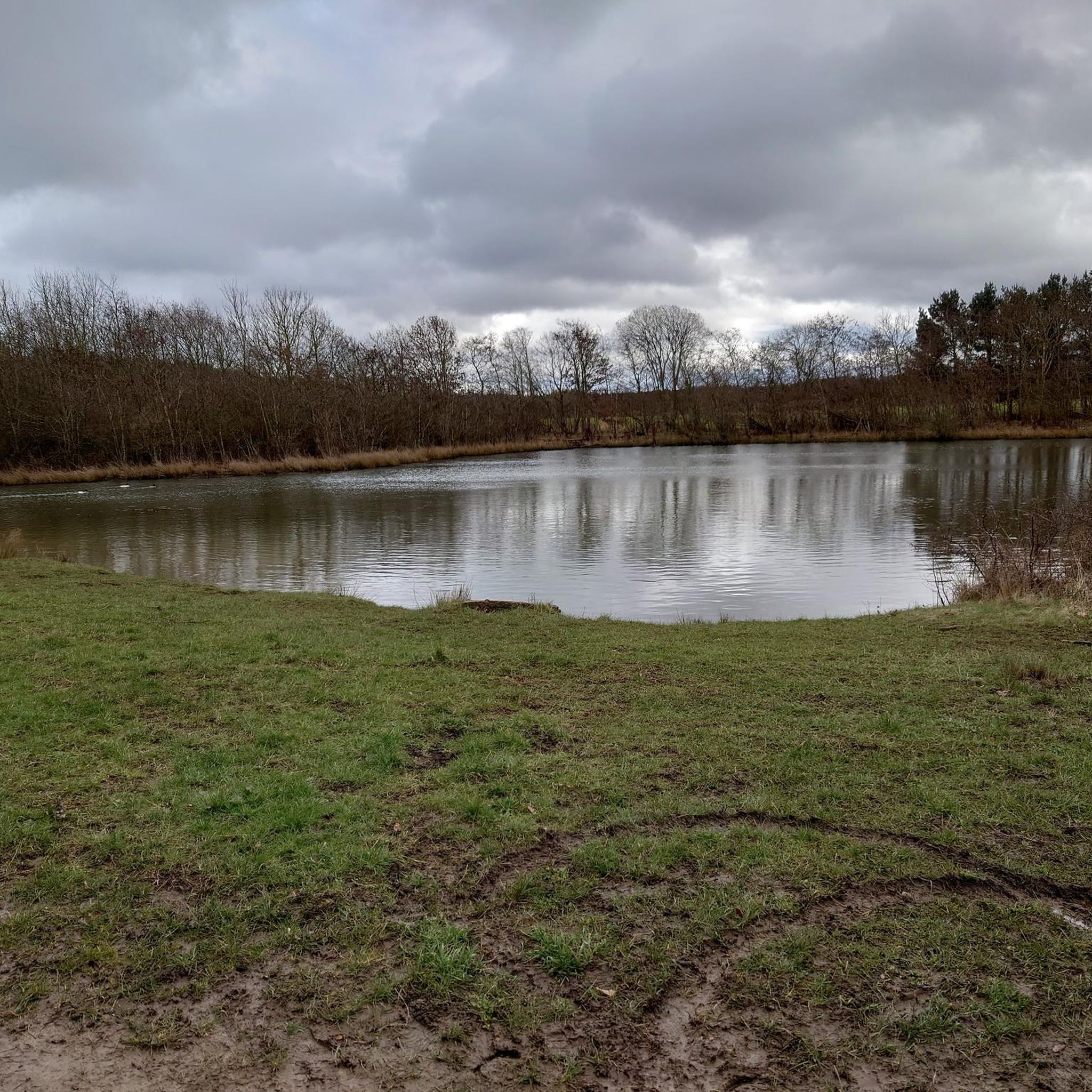
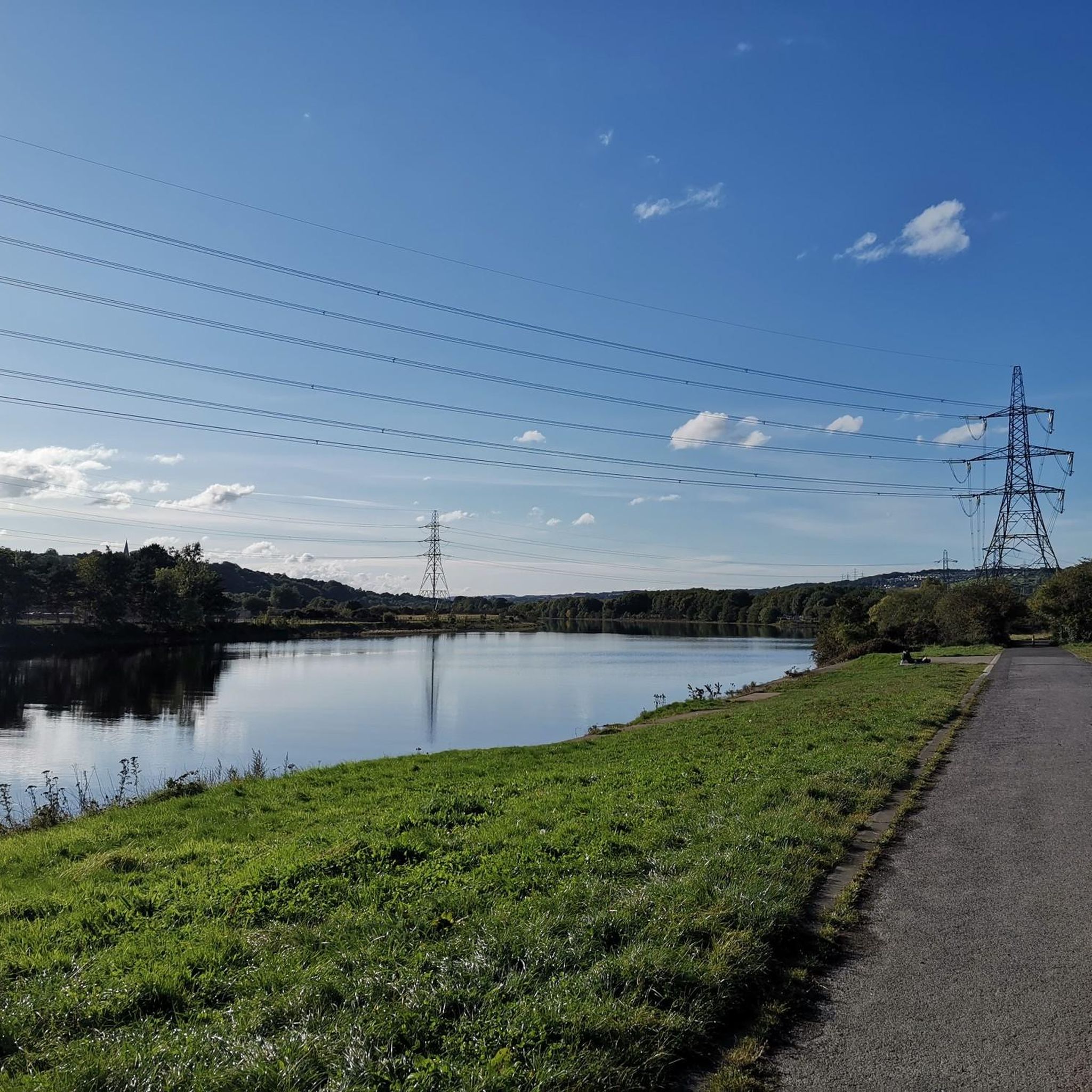
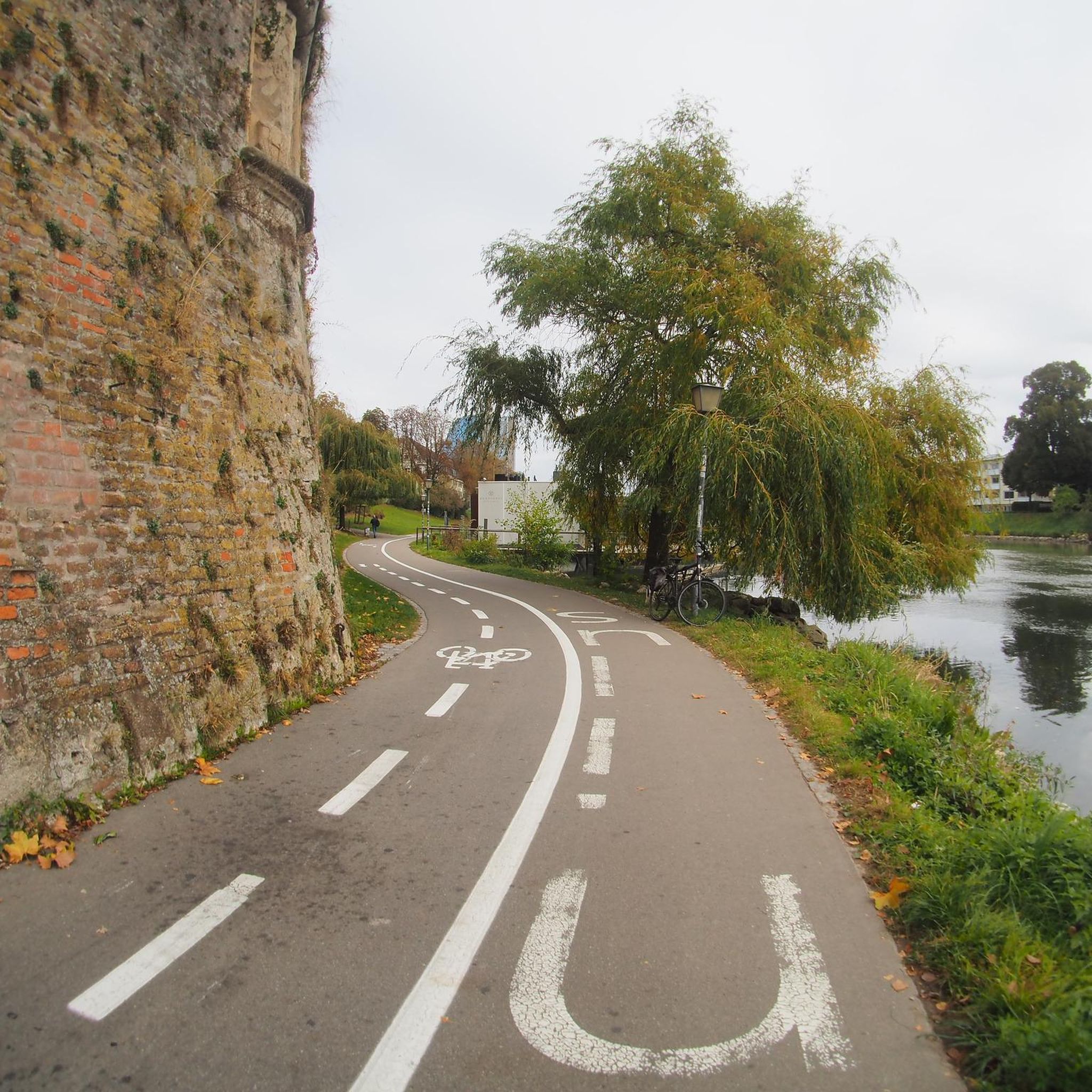
Tips from the Community

Classic Northumberland road climb, even if it does have a descent in it. Ramp near the start in Elsdon is the hardest bit. Get lucky with a tailwind and fly down eastwards past Harwood Forest
0
0
Pretty bleak place to meet your end. If on the road, can also be pretty bleak with a rainy headwind ! Tailwind when eastward bound though is great
0
0
Great descent, not so fun the other way. There's a bit of a false flat drag towards the base from Colwell, then the two ramps up. Part of the Beaumont Trophy road race, which has run for about 70 years
0
0
Lovely village and central to a lot of historical road racing/club runs in Northumberland
0
0

St. Andrew’s Church in Corbridge is one of the oldest and most historic churches in Northumberland, with roots dating back to 674 AD, when St. Wilfrid founded a monastery here. Although the original timber-framed building has disappeared, the current church still incorporates Roman stonework from the nearby Corstopitum Fort, including an impressive tower arch dating from around 150 AD. Saxon and Norman elements include a Saxon window, a Norman zigzag doorway, and a 13th-century chancel. Vicar’s Pele Tower: a 14th-century fortified tower house built with Roman stone, once a refuge from Scottish raids. King’s Oven: a communal bread oven dating from 1310, still visible on the site. Memorial Gate: commemorates 108 local men who died in WWI.
4
0


St Andrew's Church stands on the north side of the Market Place in the centre of Corbridge. The main (but not the only) access to the churchyard is through the lych gate built in 1919 to serve as a memorial to those who lost their lives in the First World War, and from there a path leads towards the porch, surprisingly one of the most recent additions to the church, being built the year after the lych gate.
0
0
Frequently Asked Questions
How many road cycling routes are available around Woolsington?
There are over 40 road cycling routes around Woolsington, catering to various fitness levels. You'll find 2 easy routes, 32 moderate routes, and 9 challenging routes, ensuring there's something for every cyclist.
What kind of terrain can I expect on road cycling routes in Woolsington?
Road cycling routes around Woolsington feature a diverse landscape of green spaces and agricultural land, offering a peaceful, rural setting. The terrain is generally flat with subtle northern-oriented hills, making it suitable for various cycling abilities. You'll also encounter historic parkland and routes that follow natural streams like the Ouse Burn.
Are there any scenic viewpoints or landmarks to see along the road cycling routes?
Yes, several routes offer scenic views and pass by notable landmarks. For instance, the View of Hagg Bank Bridge – Stamfordham Village Green loop from Bank Foot features views of the historic Hagg Bank Bridge. Other routes may offer glimpses of the broader Northumberland countryside or connect to areas with iconic structures like the Gateshead Millennium Bridge and Tyne Bridge further afield.
Which routes are suitable for experienced road cyclists looking for a challenge?
Experienced road cyclists seeking a challenge will find several difficult routes. The The Ryals Climb – Bolam Lake loop from Airport is a difficult 60.3-mile (97.1 km) path with significant elevation gain, passing by Bolam Lake. Another demanding option is The Ryals Climb – Winters Gibbet loop from Airport, a 107 km route with over 1,100 meters of elevation.
What do other road cyclists enjoy most about cycling in Woolsington?
The area is highly rated by the komoot community, with an average score of 4.1 stars from over 10 reviews. Cyclists often praise the diverse terrain, from peaceful green spaces to historic parkland, and the variety of routes available for different skill levels. The well-paved surfaces and scenic views are also frequently highlighted.
Are there any natural features or parks I can explore while cycling?
Yes, Woolsington is rich in natural beauty. You can cycle through historic parkland like Woolsington Park, which features a lake formed by the Ouse Burn. The nearby Havannah Nature Reserve also offers additional trails through woodlands and lowland heath, providing diverse natural environments for exploration.
Are there any circular road cycling routes around Woolsington?
Yes, many of the road cycling routes around Woolsington are designed as loops, allowing you to start and finish at the same point. Examples include the View of Hagg Bank Bridge – Stamfordham Village Green loop from Bank Foot and the Stamfordham Village Green – Photo Spot at Large Rocks loop from Bank Foot, offering convenient circular journeys through varied landscapes.
What is the best time of year for road cycling in Woolsington?
The region's generally flat terrain with subtle hills makes it enjoyable for cycling throughout much of the year. Spring and summer offer pleasant weather for exploring the green spaces and agricultural land. While winter cycling is possible, it's always advisable to check local weather conditions and road surfaces, as some areas might be affected by colder temperatures.
Are there any moderate-difficulty road cycling routes suitable for a good day out?
Absolutely. A popular moderate option is the The Ryals Climb – Stamfordham Village Green loop from Bank Foot, which covers 72.1 km with over 500 meters of elevation. Another great choice is the Stamfordham Village Green – Photo Spot at Large Rocks loop from Bank Foot, a 55.2 km trail leading through varied rural landscapes.
Can I find routes that connect to wider cycling networks from Woolsington?
Yes, Woolsington's location provides excellent connectivity. You can access routes that lead towards the NewcastleGateshead Quayside, offering flat cycle pathways along the River Tyne. The area also provides access to sections of the Hadrian's Cycleway, a 170-mile route along the Roman frontier, offering more adventurous options on minor roads or well-surfaced off-road tracks.
Are there any lakes or waterfalls near the cycling routes?
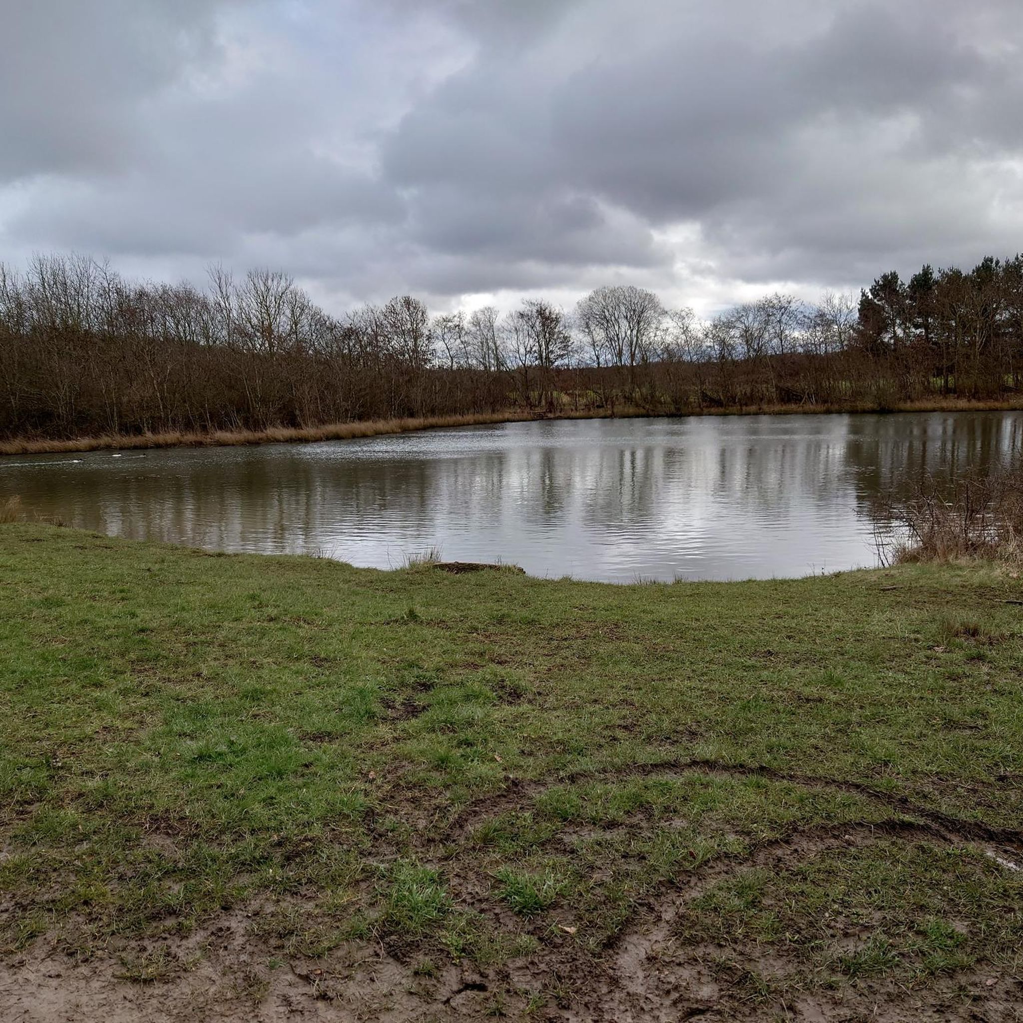
While cycling, you might encounter natural water features. Woolsington Park itself features a lake formed by the Ouse Burn. The nearby Havannah Nature Reserve includes a lake, and you can find a waterfall in Watergate Forest Park, which is also home to the Watergate Forest Park Local Nature Reserve.
Most popular attractions around Woolsington

Get inspired with the komoot mobile app


Explore more
Browse the best Road cycling routes in other regions.
