Skelsmergh And Scalthwaiterigg
Skelsmergh And Scalthwaiterigg
The best road cycling routes around Skelsmergh And Scalthwaiterigg
4.7
(138)
8,562
riders
312
rides
Road cycling routes around Skelsmergh And Scalthwaiterigg traverse a landscape characterized by quiet country lanes, woodlands, and river valleys. The region features varied terrain, including moderate climbs and descents, with several routes offering views of the Lune Valley. Road cyclists can expect a mix of open countryside and shaded sections through areas like Winster Woods.
Best road cycling routes around Skelsmergh And Scalthwaiterigg
- The most popular road cycling route is Quiet Lanes at Foulshaw Moss – Winster Woods loop from…
Last updated: May 25, 2026
84
riders
91.1km
04:24
840m
840m
Moderate road ride. Good fitness required. Mostly well-paved surfaces and easy to ride.
5.0
(1)
47
riders
43.8km
01:56
330m
330m
Moderate road ride. Good fitness required. Mostly well-paved surfaces and easy to ride.

Sign up for free
41
riders
Moderate road ride. Good fitness required. Mostly well-paved surfaces and easy to ride.
5.0
(1)
30
riders
48.9km
02:25
540m
540m
Moderate road ride. Good fitness required. Mostly well-paved surfaces and easy to ride.
37
riders
126km
05:27
950m
950m
Hard road ride. Very good fitness required. Mostly well-paved surfaces and easy to ride.
Get access to more routes and recommendations from other explorers.
Sign up for free
Already have an account?
Our route recommendations are based on thousands of hikes, rides, and runs completed by other people on komoot.
Start today with a free account
Your next adventure awaits.
Login or Signup

Tips from the Community

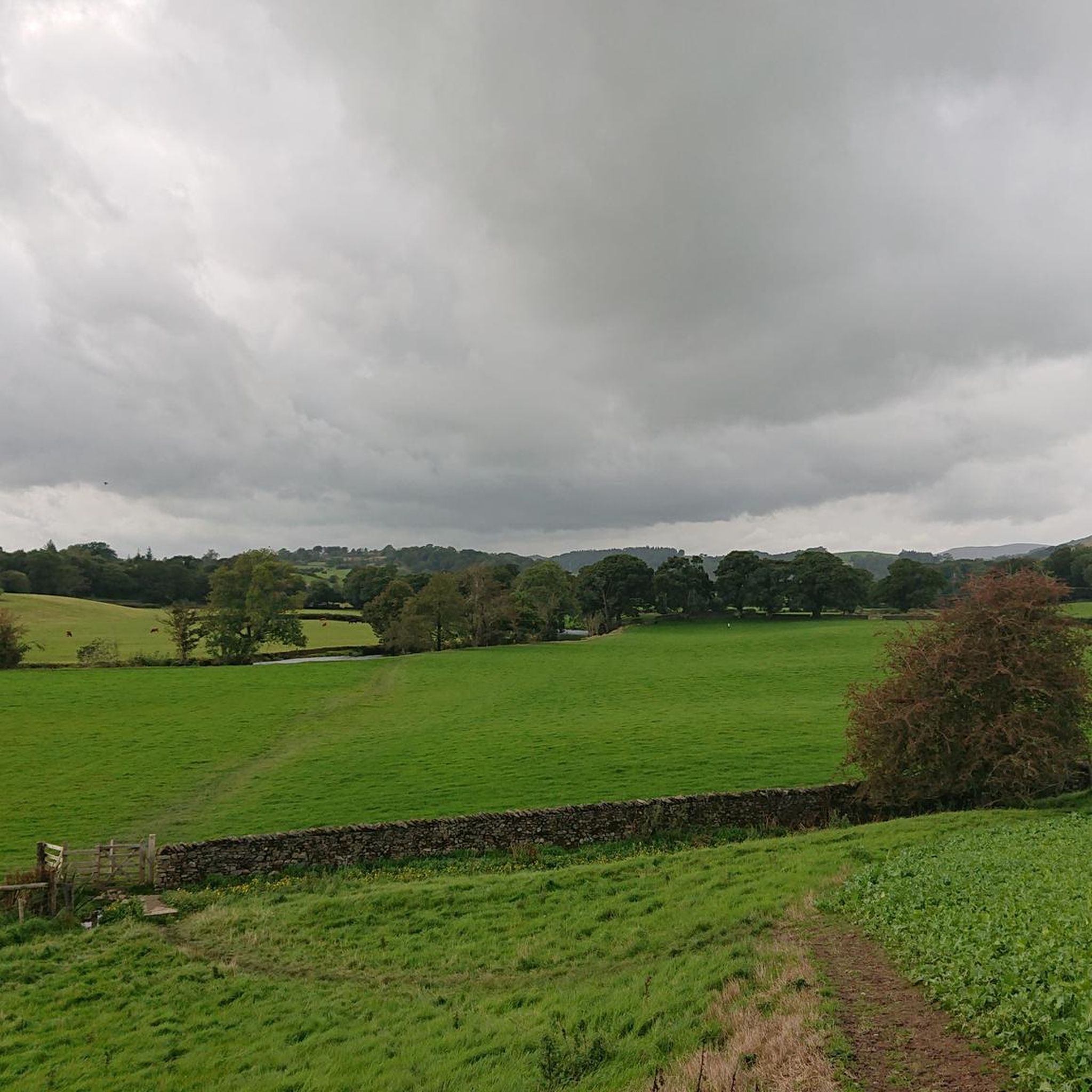
A lovely gentle ride - we went in September and it was glorious
0
0

Surface is pretty good but there are a few lumps and bumps so take care
0
0

Good shortcut to stay off the busier roads, surface isn't great though and watch out for the 💩
0
0

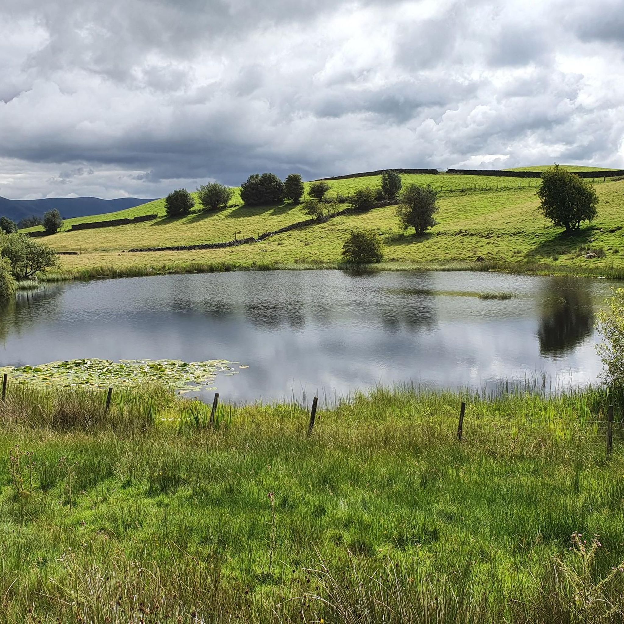
Great view point. Stunning views definitely recommend
0
0
Great little coffee shop, excellent coffee, nice selection of sweet treats and ice cream as well!
0
0

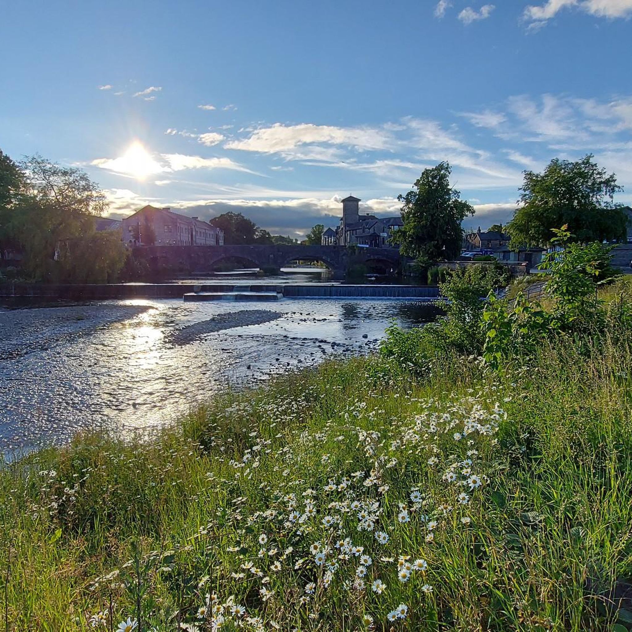
Sedgwick Aqueduct was built in 1818 to carry the elevated section of the Lancaster Kendal Canal over the road between Sedgwick and Natland. It is an unusual example of a skewed bridge - most canal bridges were at right angles to the road that they cross, to simplify design and minimise materials used. A skew bridge avoids the need to put a bend in the road and was state of the art in bridge building at the time. To avoid weakness across the bridge a winding course of stones was used, which, at the same time, created the smallest span. After dewatering in 1955, the canal at Sedgwick the District Council planned to demolish the aqueduct to improve the road between Natland and Levens, but it was saved after a campaign by local residents and canal enthusiasts. It now owned by the Canal and Rivers Trust.
0
0
Sedgwick House was built in 1868 for William Henry Wakefield, who owned a local gunpowder factory. The family moved out of the house shortly before World War II, and it was then used by Lancashire County Council as a school for children with special needs. The school closed in 1987, and the building has since been converted into residential accommodation.
0
0
Frequently Asked Questions
How many road cycling routes are available around Skelsmergh And Scalthwaiterigg?
There are over 320 road cycling routes in the Skelsmergh And Scalthwaiterigg area, catering to various skill levels from easy to difficult.
What kind of terrain can I expect on road cycling routes in this region?
Road cycling routes around Skelsmergh And Scalthwaiterigg feature quiet country lanes, woodlands, and river valleys. You'll encounter varied terrain, including moderate climbs and descents, with some routes offering views of the Lune Valley and shaded sections through areas like Winster Woods.
Are there routes suitable for beginner road cyclists?
Yes, Skelsmergh And Scalthwaiterigg offers over 60 easy road cycling routes. These are generally shorter and have less challenging elevation gains, perfect for those new to road biking or looking for a relaxed ride.
What are some longer, more challenging road cycling routes in the area?
For experienced cyclists seeking a challenge, there are over 60 difficult routes. An example is the View of the Lune Valley – Crook O’Lune Viewpoint loop from Burneside, which covers over 126 km with significant elevation changes.
What do other road cyclists think about the routes in Skelsmergh And Scalthwaiterigg?
The routes in Skelsmergh And Scalthwaiterigg are highly rated by the komoot community, with an average score of 4.7 stars from over 130 reviews. Cyclists often praise the quiet country lanes and the scenic beauty of the woodlands and river valleys.
Are there any scenic viewpoints or natural landmarks along the road cycling routes?
Yes, the region offers several scenic spots. You might encounter viewpoints like Brant Fell or Grey Crag Summit. Some routes also pass by unique natural monuments such as The Mushroom on Scout Scar or The Helm Trig Point.
Are most road cycling routes in Skelsmergh And Scalthwaiterigg circular?
Many of the road cycling routes in the Skelsmergh And Scalthwaiterigg area are designed as loops, allowing you to start and finish at the same point. For instance, the Sedgwick Aqueduct – Scenic Country Lane loop from Burneside is a popular circular option.
What is a good moderate-difficulty route to explore the local area?
A great moderate option is the Winster Woods – Brigsteer Causeway loop from Burneside. This route covers nearly 49 km and takes you through Winster Woods and past the Brigsteer Causeway, offering a balanced ride.
Can I find routes that pass through local villages or past historical features?
Absolutely. Routes often connect local villages and feature points of interest. For example, the Quiet Back Lanes to Staveley – Stone Bridge Near Staveley loop from Burneside takes you through quiet back lanes to Staveley and past a charming stone bridge.
What is the typical duration for road cycling routes in this region?
Route durations vary significantly based on distance and difficulty. Shorter, easy routes might take just over an hour, while longer, difficult routes can take upwards of 5-6 hours. For instance, the Quiet Lanes at Foulshaw Moss – Winster Woods loop from Burneside is a moderate 90 km route that typically takes around 4 hours 25 minutes.
Most popular routes around Skelsmergh And Scalthwaiterigg
Most popular attractions around Skelsmergh And Scalthwaiterigg

Get inspired with the komoot mobile app


Explore more
Browse the best Road cycling routes in other regions.
