The best walks and hikes around Draughton
4.6
(2866)
22,790
hikers
14
hikes
Hiking around Draughton offers access to diverse landscapes at the southern edge of the Yorkshire Dales National Park and adjacent to the Nidderdale Area of Outstanding Natural Beauty. The region features the River Wharfe, ancient woodlands like Lob Wood and Eller Carr Wood, and several reservoirs including Fewston Reservoir. Hilly terrain, such as Draughton Moor and Beamsley Beacon, provides varied elevation and views.
Best hiking trails around Draughton
- The most popular hiking route is Beamsley Beacon and Ling Park loop…
Last updated: November 1, 2026
2.0
(1)
3
hikers
14.2km
04:04
330m
330m
Moderate hike. Good fitness required. Easily walkable paths.
5.0
(2)
20
hikers
14.8km
04:10
300m
300m
Moderate hike. Good fitness required. Easily walkable paths.

4.0
(4)
47
hikers
13.3km
03:32
130m
120m
Moderate hike. Good fitness required. Easily walkable paths.
4.0
(3)
24
hikers
Moderate hike. Good fitness required. Easily walkable paths.
4.6
(7)
49
hikers
9.50km
02:38
170m
170m
Moderate hike. Good fitness required. Easily walkable paths.
Get access to more routes and recommendations from other explorers.
Already have an account?
Our route recommendations are based on thousands of hikes, rides, and runs completed by other people on komoot.
Start today with a free account
Your next adventure awaits.

Tips from the Community

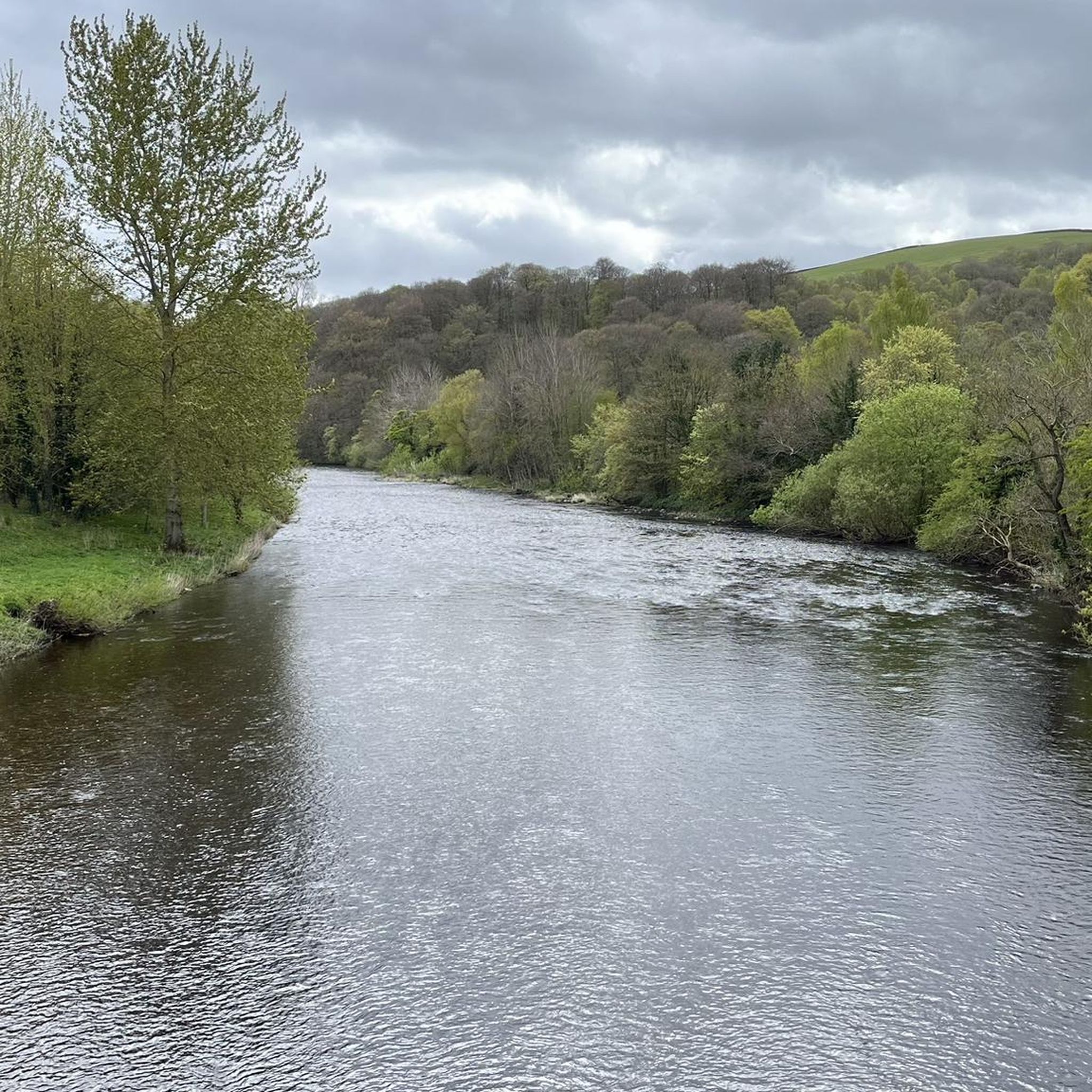
The Wharfe drops into the Bolton Abbey estate as a broad, lively river, flowing past the priory ruins and the famous stepping stones. Just upstream lies The Strid, where the river is squeezed from about 30 feet wide to barely a stride across, flipping from shallow-and-wide to narrow-and-deep, a geological quirk that creates powerful, hidden currents beneath the rocks. After leaving Bolton Abbey, the Wharfe continues through Addingham, Ilkley, Burley-in-Wharfedale, Otley, Wetherby, and Tadcaster, before finally joining the River Ouse near Cawood. A funny (and slightly dark) fact, The Strid, that innocent-looking narrow gap on the Bolton Abbey estate, is famously said to have a 100% fatality rate for anyone who falls in. It looks like a place you could hop across… but absolutely isn’t. Local folklore insists no one has ever survived falling into it, thanks to the undercut caves and swirling tunnels beneath the surface
0
0

Be mindful of the fast flowing water, stepping stones are slid but suitable footwear advised and take your time. A very popular spot
0
0

Trig point on righthand side of road near cattle grid as you ascend Hardings Lane from Ilkley. This is just before you reach the open moor section of road and then onto Langbar. A beautiful spot.
0
0

The Addingham Suspension Footbridge is a scenic, historic pedestrian bridge spanning the River Wharfe near the village of Addingham in West Yorkshire, England. It serves as a popular focal point for local walkers, runners, and those exploring the scenic Wharfedale valley.
0
0

This is a really impressive piece of architecture, £15 to park at car park, in the summer there are some stepping stones
0
0

A memorial to Lord Cavendish a 19th century politician who was killed in Ireland.
1
0
Bolton Abbey is the ruins of a 12th century Augustinian Monastery which was known as Bolton Priory. It was closed in 1539 as part of Henry VIII dissolution of the monasteries.
1
0
Frequently Asked Questions
What kind of terrain can I expect on hikes around Draughton?
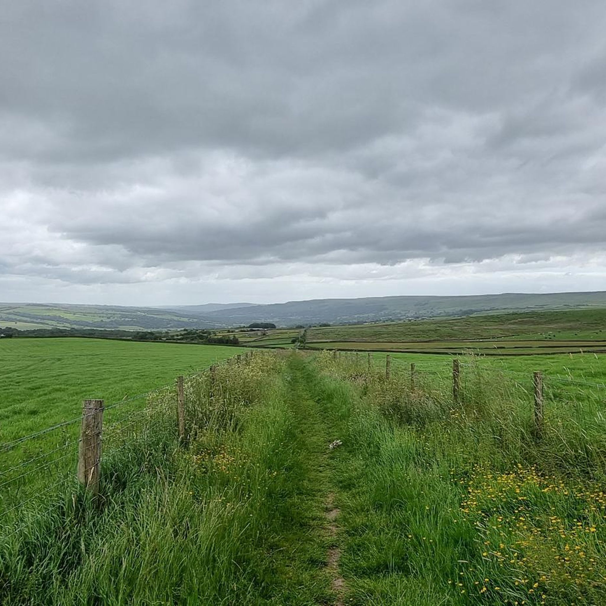
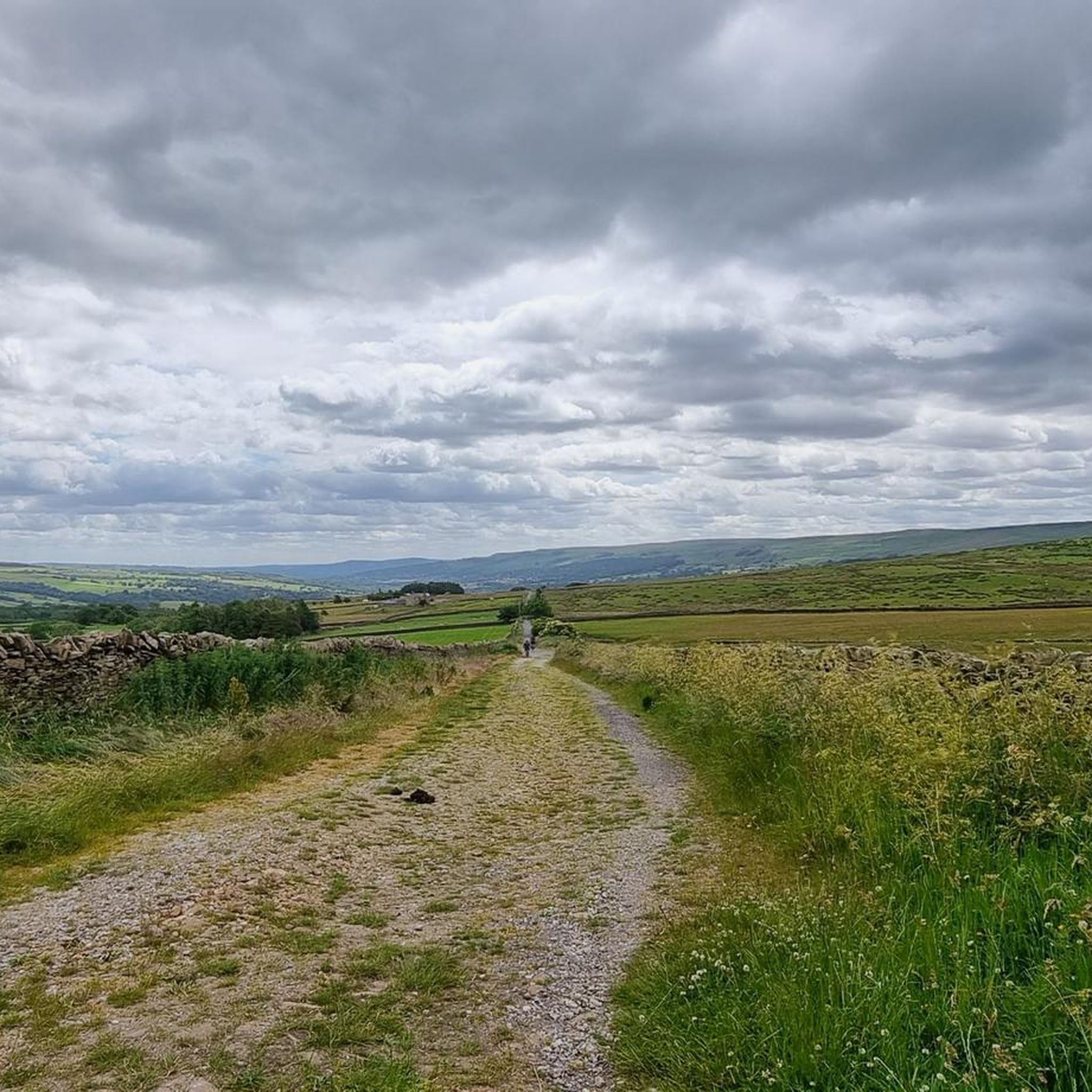
The hiking terrain around Draughton is quite varied, ranging from gentle paths along river valleys and around reservoirs to more undulating and challenging routes with significant elevation gains. You'll find ancient woodlands, open moorland like Draughton Moor, and hills such as Beamsley Beacon, offering diverse experiences for different fitness levels.
Are there many easy hiking options in the Draughton area?
Yes, Draughton offers a good selection of easy hikes. Out of the 15 available routes, 4 are classified as easy. Many of these easier paths can be found around the local reservoirs, such as Fewston Reservoir, and within the Bolton Abbey Estate, which are suitable for all fitness levels.
What natural features or landmarks can I see while hiking near Draughton?
The area is rich in natural beauty and historical landmarks. You can explore ancient woodlands like Lob Wood and Eller Carr Wood, walk along the River Wharfe, and visit dramatic sections like The Strid. The iconic Simon's Seat and Sharp Haw Summit offer rewarding views, and you can also discover reservoirs like Embsay Reservoir and Thruscross Reservoir.
Are there any family-friendly hiking trails around Draughton?
Absolutely. The Bolton Abbey Estate, for instance, offers several easy hikes suitable for families, such as the Bolton Abbey Ruins – The Strid loop. Walks around reservoirs like Fewston Reservoir are also known to be family-friendly, providing picturesque settings without overly challenging terrain.
Can I find circular hiking routes in Draughton?
Yes, many of the trails around Draughton are circular, allowing you to start and end at the same point. Popular options include the Beamsley Beacon and Ling Park loop from Bolton Bridge and the Bolton Bridge – Farfield Quaker Meeting House loop.
What do other hikers say about the trails in Draughton?
The trails in Draughton are highly regarded by the komoot community, holding an impressive average rating of 4.7 stars from over 1,400 reviews. Hikers often praise the diverse landscapes, from river valleys and ancient woodlands to challenging ascents, and the well-maintained paths that cater to various ability levels.
Are there any challenging hikes with good views near Draughton?
For those seeking a challenge and rewarding views, the area does not disappoint. The Beamsley Beacon and Ling Park loop is a moderate route that offers excellent vistas from Beamsley Beacon. The region's hilly terrain, including Draughton Moor, provides opportunities for significant elevation gains and panoramic scenery.
What is the best time of year to go hiking in Draughton?
Draughton offers enjoyable hiking experiences throughout the year. Spring and summer bring lush greenery and warmer weather, ideal for exploring the woodlands and riverside paths. Autumn showcases beautiful fall foliage, particularly in areas like Lob Wood and Eller Carr Wood. Even in winter, with appropriate gear, the trails can be serene, especially around the reservoirs.
Is there public transport access to hiking trails around Draughton?
While Draughton is a village, its proximity to the Yorkshire Dales National Park and Nidderdale AONB means that some areas, particularly popular spots like Bolton Abbey, may have bus services. However, for direct access to many trailheads, personal transport is often more convenient. It's advisable to check local bus schedules for specific routes you plan to hike.
Where can I find parking for hiking in Draughton?
Parking availability varies by trailhead. For popular destinations like the Bolton Abbey Estate, dedicated car parks are usually available, though they may incur a fee. For other routes, roadside parking might be an option, but it's always best to research specific starting points in advance to ensure legal and safe parking.
Are dogs allowed on the hiking trails in Draughton?
Many of the outdoor areas and trails around Draughton are dog-friendly, especially those on public footpaths. However, it's crucial to keep dogs under control, particularly in areas with livestock or ground-nesting birds. Always check for specific signage or local regulations, especially within nature reserves or private estates like Bolton Abbey, where certain restrictions may apply.
How long do hikes around Draughton typically take?
Hiking durations vary significantly depending on the route's length and difficulty. For example, the Bolton Abbey Ruins – The Strid loop is about 6.3 miles (10.2 km) and takes approximately 2 hours 45 minutes. Longer, more challenging routes like the Barden Aqueduct Bridge – The Strid loop, at 9.7 miles (15.6 km), can take around 4 hours 15 minutes.
Most popular attractions around Draughton

Get inspired with the komoot mobile app


Explore more
Browse the best Hikes in other regions.
