The best road cycling routes around Stottesdon
4.7
(7)
927
riders
140
rides
Road cycling routes around Stottesdon are characterized by varied terrain within the wider Shropshire Hills area, including the prominent Clee Hills. The region features a network of quiet country lanes that traverse both challenging ascents and gentler river valleys. Cyclists can expect a mix of landscapes, from rolling hills to more level sections, providing diverse experiences.
Best road cycling routes around Stottesdon
- The most popular road cycling route is View from Clee Hill – Bridgnorth Bridge loop from Billingsley,…
Last updated: November 8, 2026
10
riders
93.9km
04:25
1,140m
1,140m
Hard road ride. Very good fitness required. Mostly well-paved surfaces and easy to ride.
9
riders
30.4km
01:33
450m
450m
Moderate road ride. Good fitness required. Mostly well-paved surfaces and easy to ride.

7
riders
34.9km
02:13
420m
420m
Moderate road ride. Good fitness required. Some segments of this route may be unpaved and difficult to ride.
7
riders
40.3km
02:02
590m
590m
Moderate road ride. Good fitness required. Mostly well-paved surfaces and easy to ride.
7
riders
45.7km
02:17
570m
570m
Moderate road ride. Good fitness required. Mostly well-paved surfaces and easy to ride.
Get access to more routes and recommendations from other explorers.
Already have an account?
Our route recommendations are based on thousands of hikes, rides, and runs completed by other people on komoot.
Start today with a free account
Your next adventure awaits.
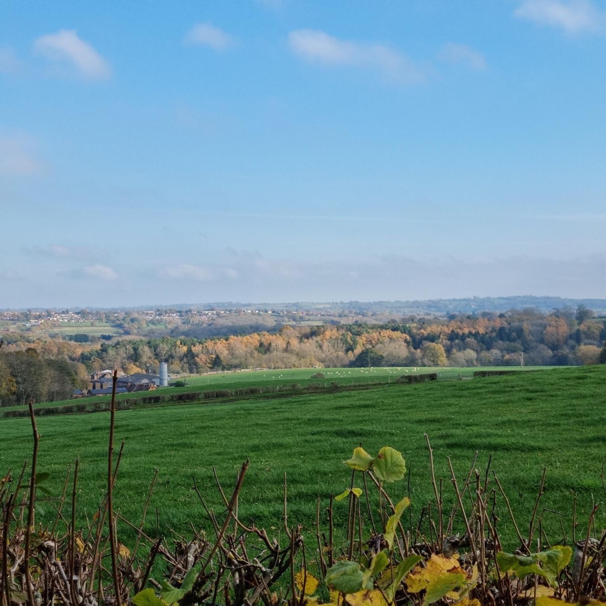
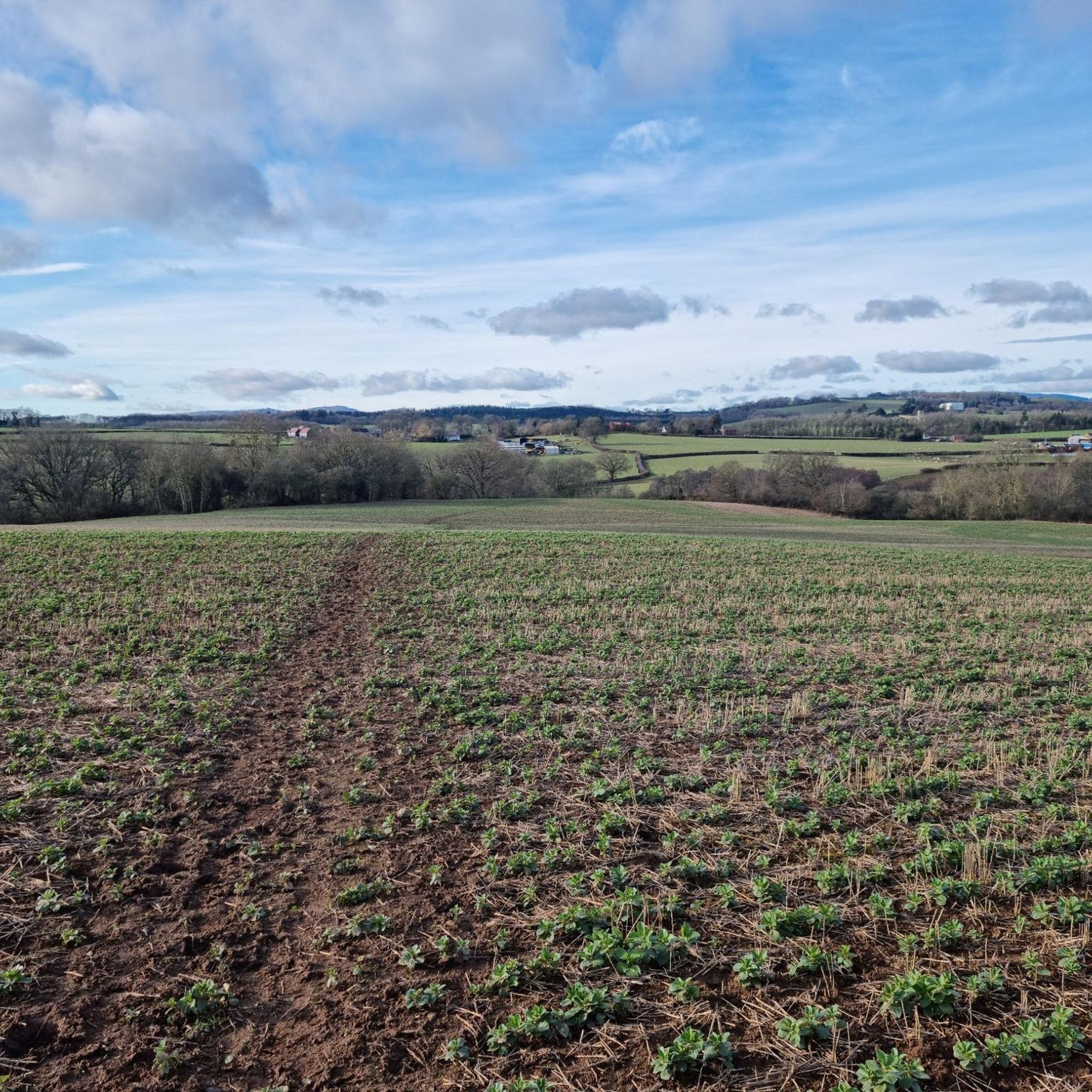
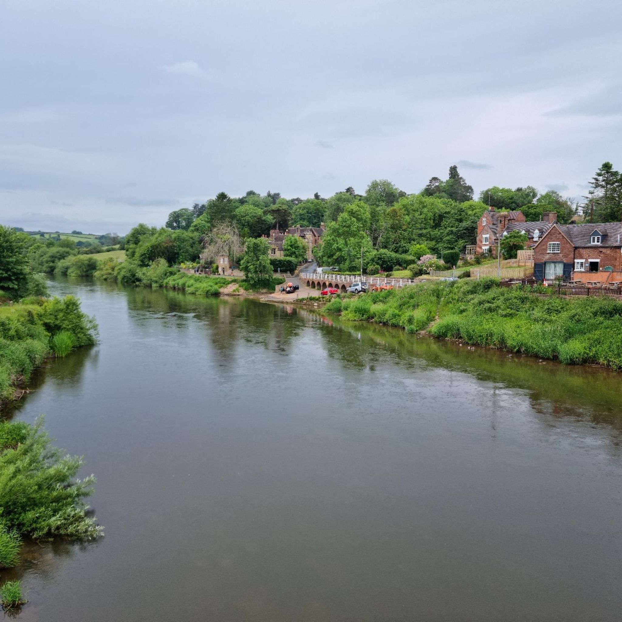
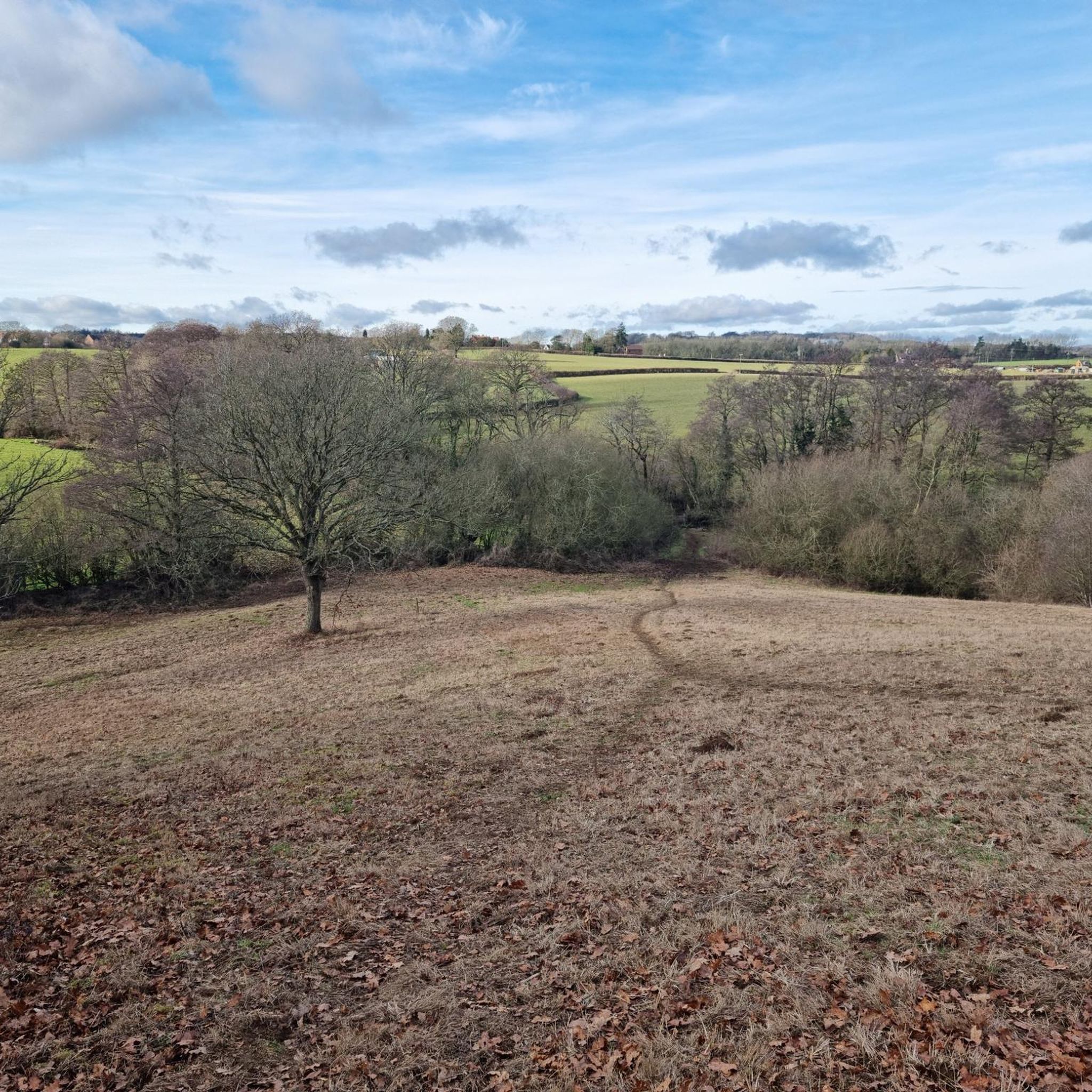

Tips from the Community

Lovely old bridge that marks the beginning of the end of the Geopark Way - there is just the climb to the castle to go!
0
0

The ruins of Ludlow castle is on a promontory overlooking the River Teme. It was one of the first stone castles to be built in England and dates back to the 11th century.
0
0

It is really worth stopping for lunch as well as coffee!
0
0

George and Dragon (photo added) is the Good Beer Guide Pub in town (although I had a very dodgy pint). Old School charm and worth seeking out.
0
0

BRIDGNORTH, St. Mary Magdalene. Photo taken from the bridge
0
0

Breathtaking views of Teme Valley and Malvern Hills.
0
0
Clee Hill ranks 135th hardest cycling climb in the UK. The maximum gradient is 15%, but the average is 5%. 3.3 km. As a result, at the very top (the one which is accessible to road bikes), there's a viewpoint with panoramic views of Teme Valley, Malvern Hills. Road in Clee Hill is the highest A-road in Shropshire.
0
0
Frequently Asked Questions
What kind of terrain can I expect on road cycling routes near Stottesdon?
Road cycling around Stottesdon offers a diverse terrain, primarily characterized by the South Shropshire Hills and the prominent Clee Hills. You'll find a network of quiet country lanes, with routes traversing both challenging ascents and gentler river valleys. This mix provides varied experiences, from rolling hills to more level sections.
Are there challenging road cycling routes with significant elevation gain around Stottesdon?
Yes, Stottesdon is an excellent base for challenging road cycling. The region, particularly around the Clee Hills, offers routes with significant elevation gains. For example, the View from Clee Hill – Bridgnorth Bridge loop from Billingsley is a difficult 56.9-mile route with over 1,100 meters of climbing, providing expansive views from Clee Hill.
Are there any easier or family-friendly road cycling options near Stottesdon?
While many routes offer climbs, the network of lanes following river valleys provides easier cycling options. The broader Shropshire area also features routes like the Lady Halton Loop near Ludlow, which is a traffic-free path suitable for less experienced cyclists. Within the Stottesdon area, you can find moderate routes such as the Bridgnorth Town Hall loop from Highley, which navigates quiet country lanes.
What natural features or landmarks can I see along road cycling routes near Stottesdon?
Road cycling routes around Stottesdon often pass through scenic landscapes and near notable landmarks. You can encounter the stunning South Shropshire Hills, including the Clee Hills, and ride through river valleys. Highlights include viewpoints like Abdon Burf Summit (Highest Point of Brown Clee Hill) and Titterstone Clee Hill summit. Routes also pass by features such as Dudmaston Comer Woods and Lake and the Arley Riverside.
Are there circular road cycling routes available from Stottesdon?
Yes, many road cycling routes around Stottesdon are circular, allowing you to start and finish in the same location. Examples include the Arley Riverside and Bridge – Severn Valley Country Park loop from Stottesdon, which is a 22.4-mile moderate ride, and the New England Sewage Works Ruins – Stottesdon Village loop from Highley.
What is the best time of year for road cycling in Stottesdon?
The best time for road cycling in Stottesdon is generally from spring through autumn when the weather is milder and daylight hours are longer. The quiet country lanes and scenic views are particularly enjoyable during these seasons. While winter cycling is possible, be prepared for colder temperatures and potentially wet conditions.
Are there cafes or pubs along the road cycling routes for a break?
Yes, the broader Shropshire area, including charming historic towns like Ludlow, offers various stops for cyclists. While specific cafes and pubs directly on every route are not listed, many routes pass through or near villages where you can find refreshments. For example, the Cafe Smoked and Mediterranean – Cleobury Cafe loop from Farlow explicitly mentions cafes in its name, indicating opportunities for breaks.
What do other road cyclists enjoy most about road cycling in Stottesdon?
The road cycling routes around Stottesdon are highly rated by the komoot community, with an average score of 4.75 stars from more than 4 reviews. Cyclists often praise the varied terrain, the quiet country lanes, and the expansive views, especially from the Clee Hills. The mix of challenging climbs and scenic descents is a common highlight.
How many road cycling routes are available around Stottesdon?
There are over 150 road cycling routes around Stottesdon, catering to various skill levels. You can find options ranging from easy rides to more challenging routes with significant elevation.
Is there parking available for cyclists near the routes in Stottesdon?
While specific parking details for every route start are not provided, Stottesdon and surrounding villages typically offer public parking options. When planning your ride, it's advisable to check local parking facilities in your chosen starting point, such as Highley or Billingsley, which are common starting points for routes in the area.
Can I access the Shropshire Cycleway from Stottesdon?
Yes, Stottesdon is well-positioned within the vicinity of the Shropshire Cycleway. This extensive, mostly on-road route allows cyclists to experience the county's varied landscapes, historic towns, and villages. You can integrate sections of the Shropshire Cycleway into your rides from Stottesdon to explore further.
Most popular attractions around Stottesdon

Get inspired with the komoot mobile app


Explore more
Browse the best Road cycling routes in other regions.
