The best MTB trails around Kinlet
4.1
(35)
336
riders
41
rides
Mountain biking around Kinlet offers diverse landscapes, characterized by extensive woodlands like Wyre Forest and prominent natural features such as Kinver Edge. The region features a mix of rolling hills, sandstone ridges, and varied terrain suitable for different skill levels. These physical attributes provide a dynamic environment for mountain bikers, from dedicated singletrack to broader forest paths.
Best mountain bike trails around Kinlet
- The most popular mountain bike trail is Wyre Forest Blue Route, an easy 4.5 miles (7.3…
Last updated: October 9, 2026
4.8
(12)
59
riders
7.33km
00:35
100m
110m
This easy 4.6-mile mountain biking loop through Wyre Forest offers a family-friendly ride past ancient trees and tranquil waters.
4.2
(5)
44
riders
21.6km
01:46
310m
310m
Moderate mountain bike ride. Good fitness required. Advanced riding skills necessary.

9
riders
10.5km
00:45
130m
130m
Easy mountain bike ride. Great for any fitness level. Suitable for all skill levels.
5
riders
45.2km
03:09
510m
510m
Moderate mountain bike ride. Good fitness required. Suitable for all skill levels.
3
riders
12.3km
00:51
160m
160m
Easy mountain bike ride. Great for any fitness level. Suitable for all skill levels.
Get access to more routes and recommendations from other explorers.
Already have an account?
Our route recommendations are based on thousands of hikes, rides, and runs completed by other people on komoot.
Start today with a free account
Your next adventure awaits.
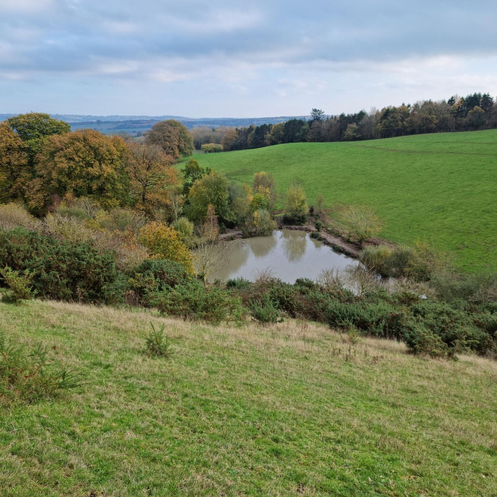

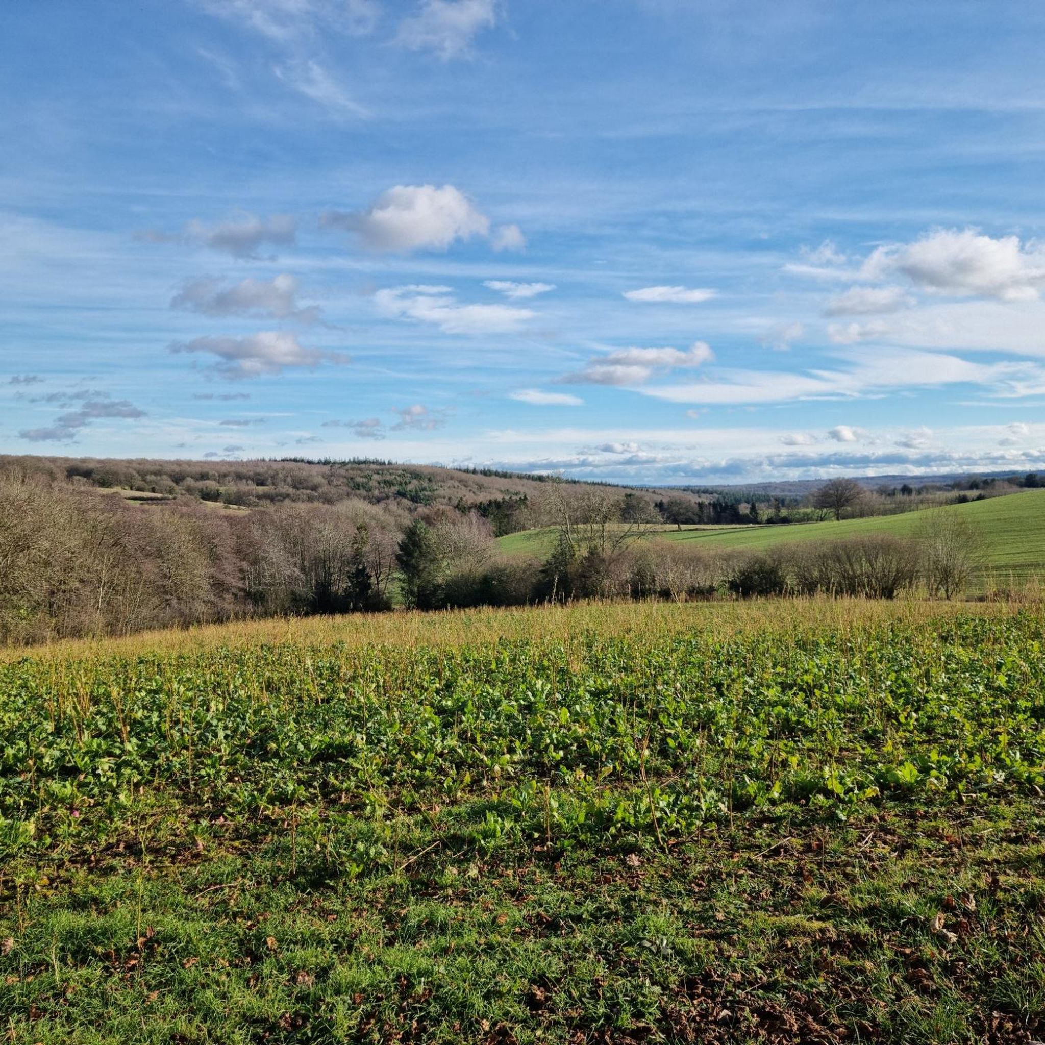
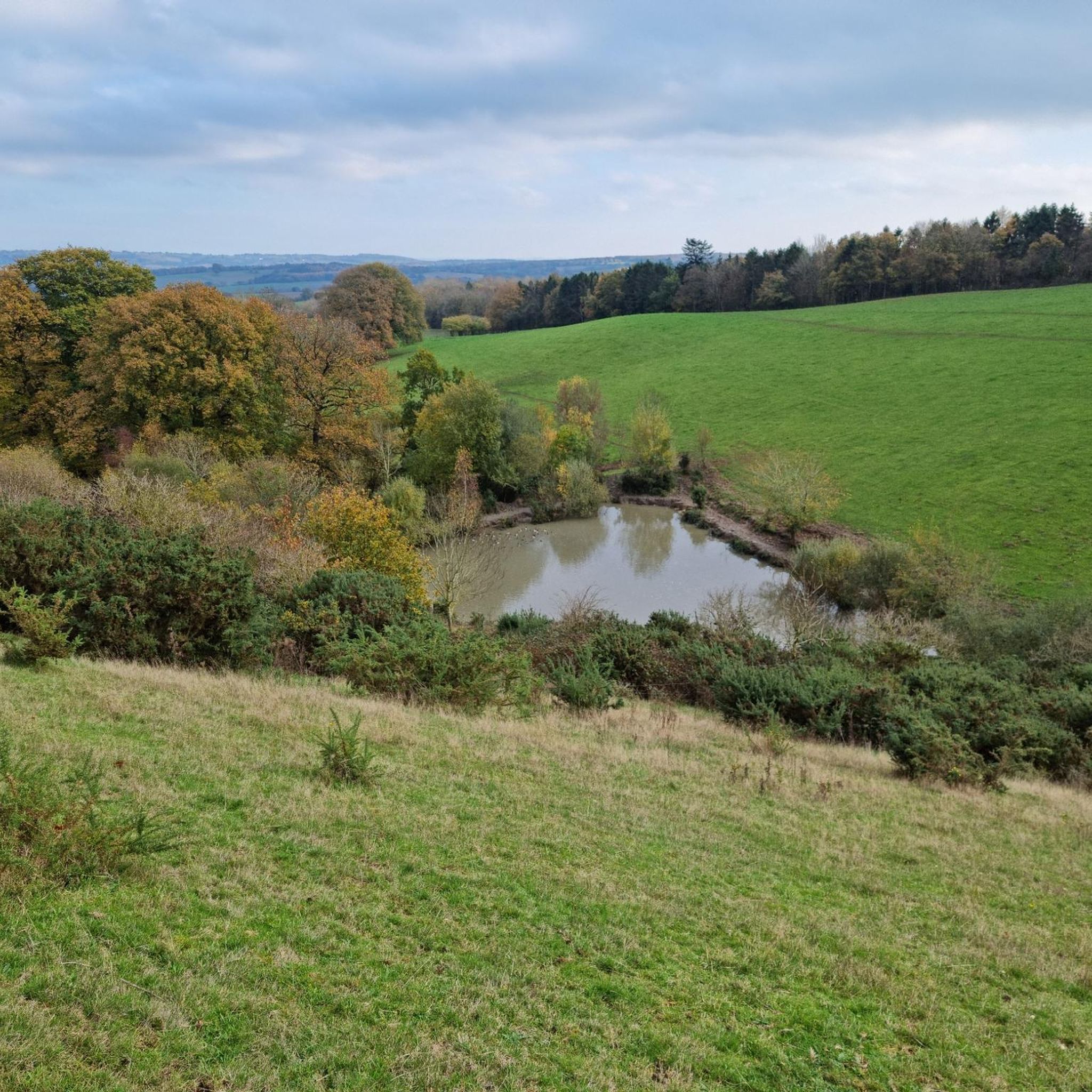
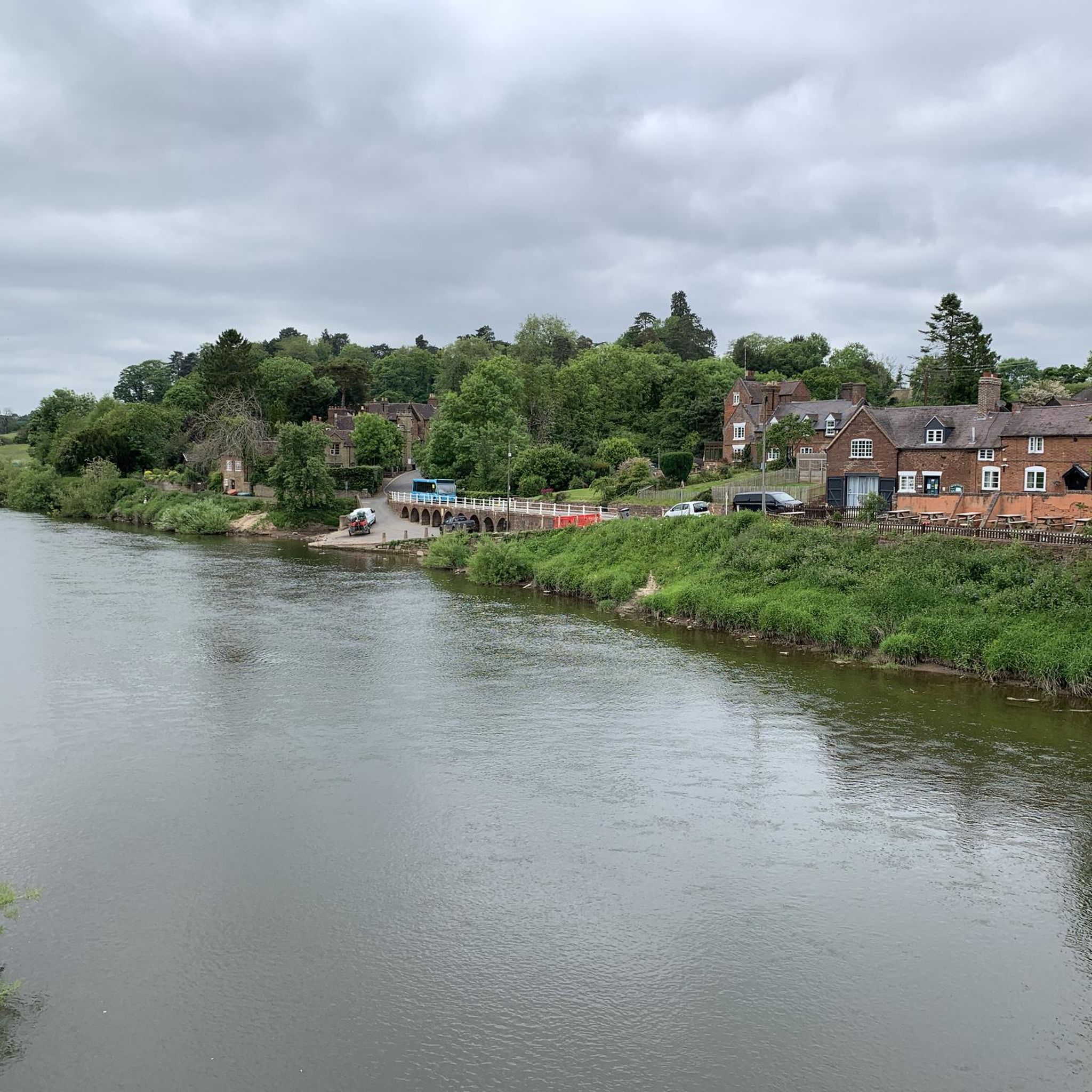
Tips from the Community

The Wyre Forest Beaver enclosure is worth stopping at. Can't guarantee to see any but you never know 😁
0
0


Worcestershire Natural Flood Management (NFM) Project in the Wyre Forest. The aim of this project is to reduce flooding in the Dowles Brook catchment, by implementing at large number of small scale, natural interventions in upstream areas to help slow the flow of water and hold it back during times of high flows. These measures involve working on the tributaries of the Dowles Brook and could include things such as planting hedges, creating wetland areas. attenuation ponds, leaky dams, soll aeration and other land management techniques The intention is to slow the flood peak on the Dowdes so it does not coincide with the flood peak on the River Severn at Bewdley. Water moving at speed through the landscape is incredibly destructive and leads to erosion, soil loss and widespread damage, therefore slowing down the water has a wealth of positive impacts. It is the intention that many more features will be installed over the riext few years with the aim of slowing the flow throughout the catchment. If you would like more information, or are a landowner who is keen to get involved. please contact the NFM Project Officer al Worcestershire County Council. www.worcestershire.gov.uk/NFM Natural Flood Management - Leaky Dams Trees are sourced from the immediate stream side and used to build a lattice. Over time, especially in high flow, smaller woody debris accumulates naturally, and this increases the effectiveness of the leaky dam. The dars are wedged behind living tree stumps to prevent them moving or floating away, over time they bed in and naturalise as part of the landscape. Leaky dams work with nature, providing a food source and habitat for wildlife. This timber lattice allows wildlife, such as fish, to move freely upstream and downstream. Leaky dams are constructed to allow free passage of water in normal flows, and only hold water back when required during high rainfall. The backed up water is pushed out of the channel into appropriate sites upstream where silts are deposited. A single structure has little impact, but a series of leaky dams at various locations can help reduce the risk of flooding downstream. Felling by the river bank allows more sunlight to reach the watercourse and its banks. This leads to the growth of marginal vegetation, creating further food sources and habitats for wildlife.
0
0
Welcome to the Wyre Forest Butterfly Trail. This 3.5 mile trail takes 2-3 hours to complete and has been designed to introduce the amazing diversity of butterflies found in the Wyre. The Butterfly Trail now continues along the Dowles Path to Coopers Mill. The track that you have walked along from the bridge over Dowles Brook is a good area to spot the bright yellow Brimstone butterfly. The Brimstone hibernates as an adult through the winter and is often the first butterfly seen each spring. Some people believe that the insect's original name of 'butter-coloured fly' was the origin of the word 'butterfly'. It is only the male that is bright yellow in colóuration; the female is a more greenish- white and in flight might be mistaken for a Large White. The reason why the Brimstone is generally numerous here is because of the presence of several bushes of alder buckthorn between the track and the brook on which the female lays her eggs. If you look carefully during May and June you can often spot the yellow skittle-shaped eggs on the undersides of leaves and sometimes also the caterpillars which are extremely well camouflaged against the green of the leaves. The caterpillar goes through a number of skin changes. as it grows before eventually pupating away from its food-plant to emerge as an adult butterfly in late July. Brimstones can then be seen visiting flowers like teasels and thistles for several more weeks before going into hibernation to emerge the following spring. It is often regarded as Britain's longest lived butterfly with some adults surviving as long as 11 months. Only a handful of our butterflies hibernate as adults in this way, most species pass the winter as an egg, caterpillar or pupa. Consequently, their adult stage may only last for a few days but, nevertheless, long enough for courtship, pairing and egg-laying to take place to ensure the survival of the species for another year. Other species to look out for include the Comma, with a distinctive ragged edge to its wings; the Common Blue, on the wing in May and June with a second generation from July to early September (if you see a 'blue' butterfly before May then it is almost certainly a Holly Blue which is similar in size and colour but lacks the orange markings on the underside of the hindwing); and the Gatekeeper, which is generally brown in colour with orange splashes across its forewings. The Butterfly Trail now continues to Coopers Mill. Two butterflies to look out for on your return journey are the graceful and very beautiful White Admiral, which has only colonised Wyre in recent years and is still something of a rarity here; and the Speckled Wood which is on the wing for most of the summer in a series of overlapping broods and is generally found in shadier spots along the Trail.
0
0
The ‘Wyre Forest Line’ formed a connection between the SVR at Bewdley and the Shrewsbury and Hereford Railway (S&HR) at Woofferton. The route encompassed two railways, the Tenbury Railway and the Tenbury & Bewdley Railway. Following the completion of the Tenbury & Bewdley Railway in 1864, the GWR took over the working of traffic over the Tenbury Railway section on behalf of the joint companies, with the LNWR also having running powers. As part of this process, the GWR telegraph system was extended to Woofferton; also the LNWR agreed to a turntable being installed at Tenbury to be paid for by the GWR. This turntable was moved from Bewdley and re-erected in the goods yard at Tenbury. (Some confusion has occurred in the past, as there was a small wagon turntable at Woofferton in its early days.) The completed line ran north from the GWR station at Bewdley on a single line track alongside the Severn Valley Line for a distance of about a mile before diverging to the west to cross the river Severn at Dowles Bridge (the viaduct referred to by Capt. Tyler), the remains of which are visible from trains on the SVR. The abutments where the line passed over what is now the B4194 remain in-situ. The line continued to Woofferton via Wyre Forest, Cleobury Mortimer, Neen Sollars, Newnham Bridge, Tenbury (later renamed Tenbury Wells) and Easton Court. The route acquired a number of names. A platform sign at Woofferton station referred to 'The Bewdley Branch', while passengers at Bewdley could take 'The Tenbury Branch'. Informally the route was often referred to as 'The Wyre Forest Line' or 'The Tenbury Line'. The Engineer's Line References were TBY for 'Tenbury & Bewdley' and WTW for 'Woofferton and Tenbury Wells', while the 1905 Ordnance Survey map describes it as the 'GW&L&NW Joint Railway - Woofferton & Tenbury' and the 'GWR - Tenbury & Bewdley Branch' One purpose of the Tenbury & Bewdley Railway was for freight traffic to gain access to the expanding markets of the West Midlands. However at the time of opening, this journey would require traveling to the SVR's southern terminus at Hartlebury, with a reversal to reach the West Midlands via Kidderminster. This was hampered by a lack of siding space at Hartlebury and resulted in frequent delays, leading to construction of the 'Kidderminster Loop Line' from Bewdley to Kidderminster. After the GWR built 'The Loop', the majority of services from Stourbridge and Kidderminster to Bewdley continued on the Wyre Forest Line. In January 1869, ownership of the Tenbury Railway was transferred jointly to the LNWR and GWR. It nominally remained an independent company until nationalisation in January 1948. The Tenbury & Bewdley Railway ceased to exist as a separate company when ownership was transferred to the GWR in February 1870. Both the GWR and the Tenbury Railway became part of British Railways' Western Region after nationalisation. In 1908 the Cleobury Mortimer and Ditton Priors Light Railway opened. This connected with the Tenbury & Bewdley Railway at Cleobury Mortimer and ran as a spur for 12½ miles to Ditton Priors.
0
0

Keep an eye out for forestry work and areas of protection.
0
0
Frequently Asked Questions
How many mountain bike trails are available around Kinlet?
There are over 40 mountain bike trails around Kinlet, offering a wide range of options for different skill levels and preferences. You'll find everything from easy forest paths to more challenging singletrack.
What kind of terrain can I expect on mountain bike trails near Kinlet?
The Kinlet area offers diverse terrain, characterized by extensive woodlands like Wyre Forest, rolling hills, and prominent sandstone ridges such as Kinver Edge. You'll encounter a mix of dedicated singletrack, broader forest paths, and heathland, providing a dynamic environment for mountain biking.
Are there mountain bike trails suitable for beginners in Kinlet?
Yes, Kinlet offers several beginner-friendly mountain bike trails. There are 17 easy routes available, perfect for those new to the sport or looking for a more relaxed ride. A great option is the Wyre Forest Blue Route, an easy 4.5-mile trail that provides a gentle introduction to the area's forest paths.
Are there any challenging mountain bike trails for experienced riders?
While the guide primarily features easy and moderate routes, the Kinlet area, particularly around Kinver Edge, is known for its more technical singletrack and even a dedicated freeride park. For a moderately challenging ride through dense forest, consider the Wyre Forest – Wyre Forest loop from Bliss Gate, which is 13.4 miles long with varied gradients.
What are some notable landmarks or attractions I can see while mountain biking near Kinlet?
The region is rich in natural and historical attractions. You can explore the prominent sandstone ridge of Kinver Edge, known for its heathland and expansive views. The unique Kinver Edge Toposcope and Viewpoint offers panoramic vistas. Other points of interest include the Redstone Caves and the serene Bodenham Arboretum.
Are there any circular mountain bike routes around Kinlet?
Yes, many of the mountain bike trails around Kinlet are circular, allowing you to start and end at the same point. An example is the Wyre Forest – Wyre Forest loop from Bewdley, a 6.5-mile trail that takes you through the expansive Wyre Forest.
What do other mountain bikers enjoy most about mountain biking in Kinlet?
The mountain bike trails around Kinlet are highly rated by the komoot community, with an average score of 3.8 stars from over 30 reviews. Riders often praise the diverse landscapes, the extensive woodlands, and the variety of trails suitable for different ability levels.
Are the mountain bike trails in Kinlet suitable for families?
Yes, many trails in the Kinlet area are family-friendly, particularly the easier routes through Wyre Forest. These paths offer a gentle introduction to mountain biking in a safe and scenic environment. The Wyre Forest Blue Route is an excellent choice for families.
Can I bring my dog on the mountain bike trails?
While specific trail regulations can vary, many public bridleways and forest paths in areas like Wyre Forest and around Kinver Edge are generally dog-friendly. It's always recommended to keep dogs under control, especially around wildlife, and to check local signage for any specific restrictions on individual trails.
Where can I find parking for mountain bike trails near Kinlet?
Parking is generally available at key access points for popular areas like Wyre Forest and Kinver Edge. Specific parking information is often detailed on individual route pages on komoot, or at the start of trailheads. For example, trails starting from Bewdley or Bliss Gate typically have designated parking facilities.
Are there any pubs or cafes near the mountain bike trails in Kinlet?
Yes, the Kinlet area and nearby towns like Bewdley offer various options for refreshments. You'll find pubs and cafes where you can refuel after your ride, particularly in the villages surrounding Wyre Forest and Kinver Edge.
What is the best time of year for mountain biking in Kinlet?
Mountain biking in Kinlet can be enjoyed year-round. While trails can be dry and dusty in summer, they are often considered even better for riding after rain, as the sandstone terrain holds up well. Spring and autumn offer pleasant temperatures and beautiful scenery, especially through the woodlands.
Most popular attractions around Kinlet

Get inspired with the komoot mobile app


Explore more
Browse the best MTB trails in other regions.
