The 10 Most Amazing Peaks around Colebatch
Best mountain peaks around Colebatch offer a variety of experiences, from historical hillforts to scenic summits. The region, situated near the Welsh/English border, features a landscape characterized by rolling hills and elevated viewpoints. Many of these locations provide opportunities for easy mountain walks near Colebatch, often leading to sites of archaeological interest. Visitors can explore a range of natural and historical features across this area.
Best mountain peaks around Colebatch
- The most popular mountain peaks is Corndon Hill summit trig…
Last updated: July 31, 2026
Corndon Hill summit trig point and cairn
Highlight • Historical Site
Tip by

Burrow Hillfort
Highlight • Historical Site
Tip by
Sign up now to discover places like this
Get recommendations on the best single tracks, peaks, & plenty of other exciting outdoor places.
Sign up for free
Llanfair Hill Trig Point
Highlight • Trail
Tip by

Bury Ditches hillfort (Sunny Hill)
Highlight • Viewpoint
Tip by
Hopesay Hill
Highlight • Natural
Tip by
Sign up for free to discover even more peaks around Colebatch.
Sign up for free
Already have an account?
Start today with a free account
Your next adventure awaits.
Login or Signup
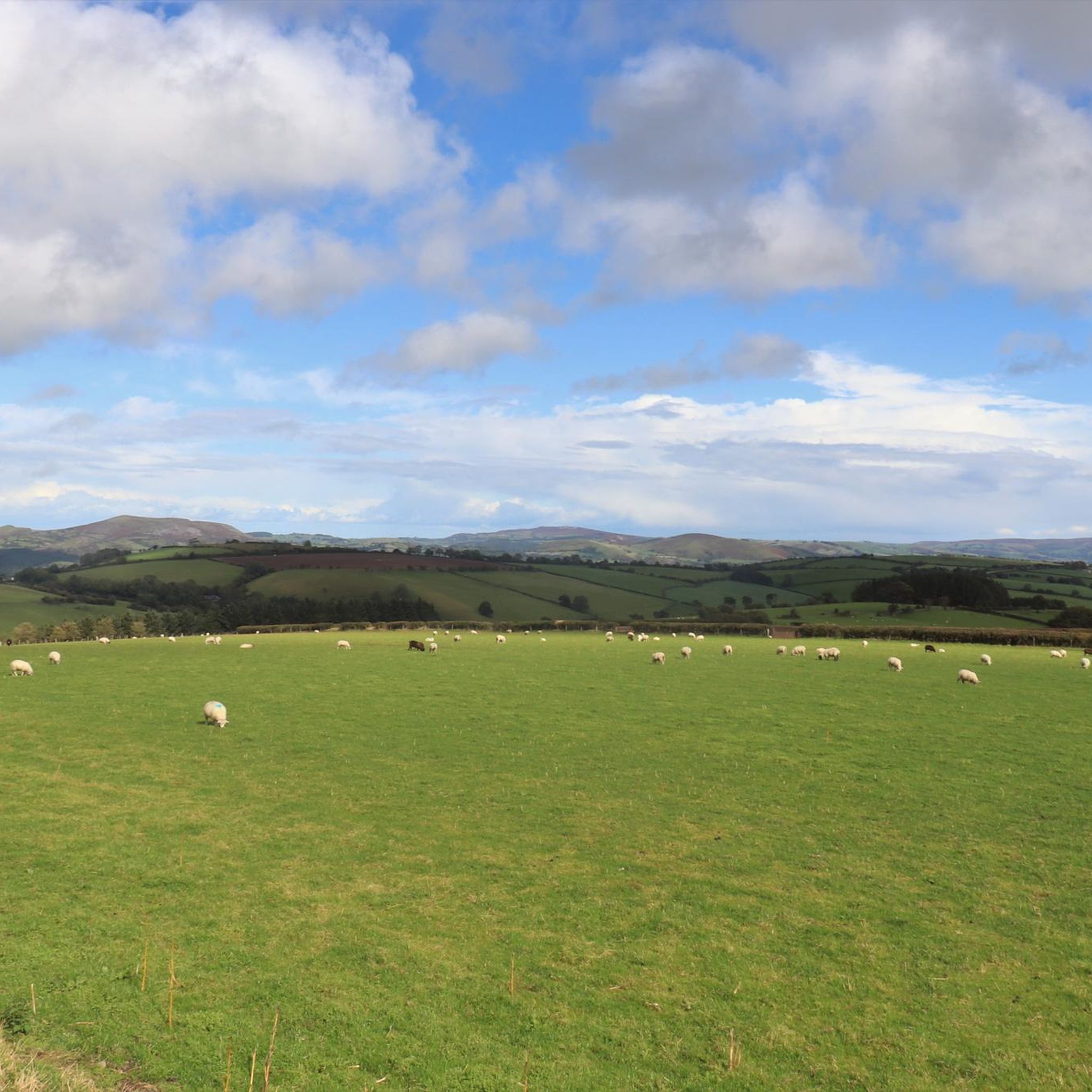
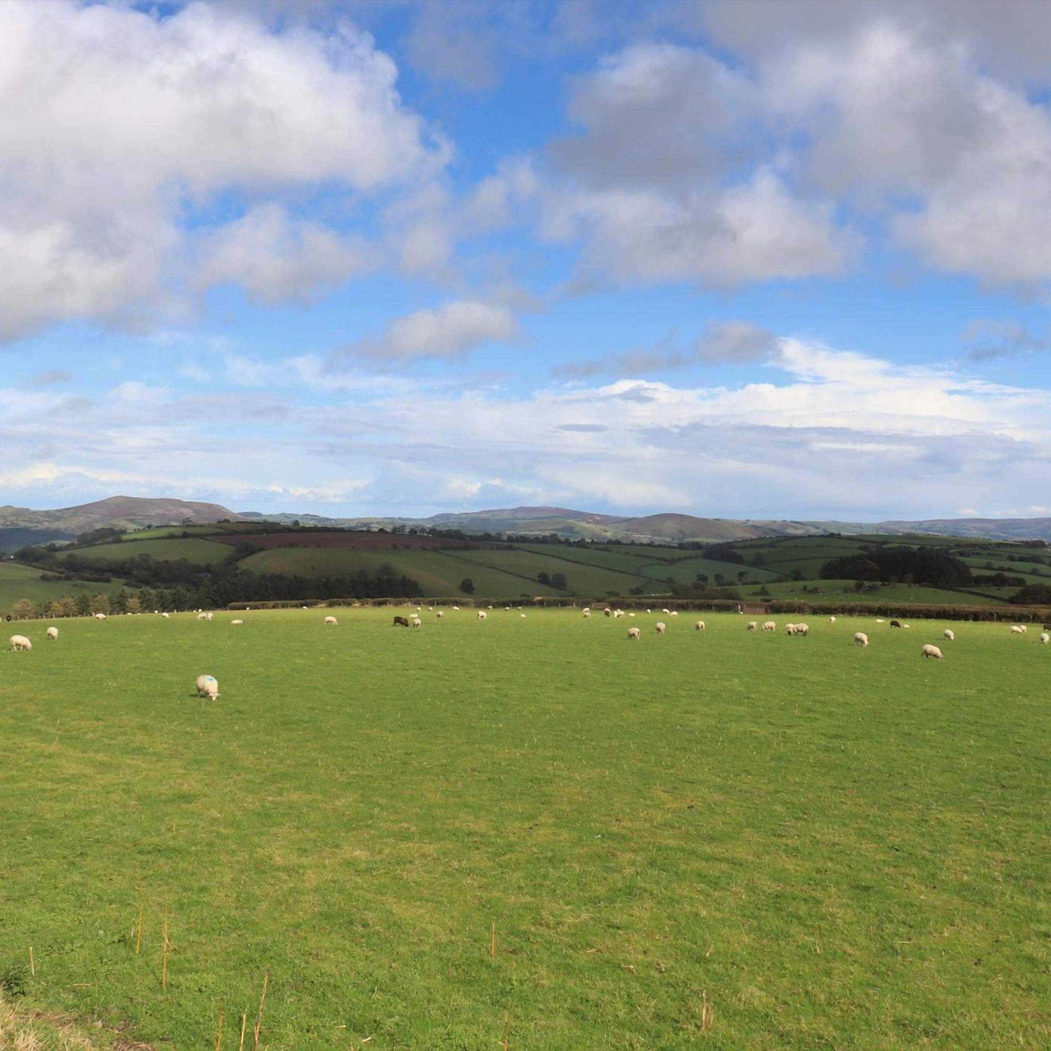
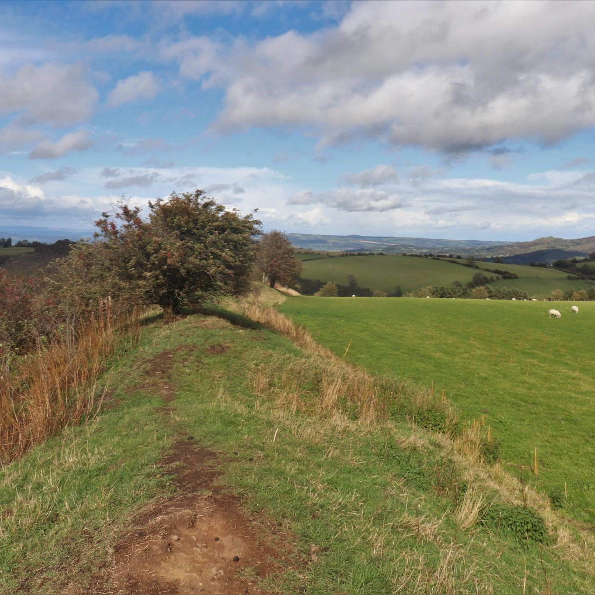
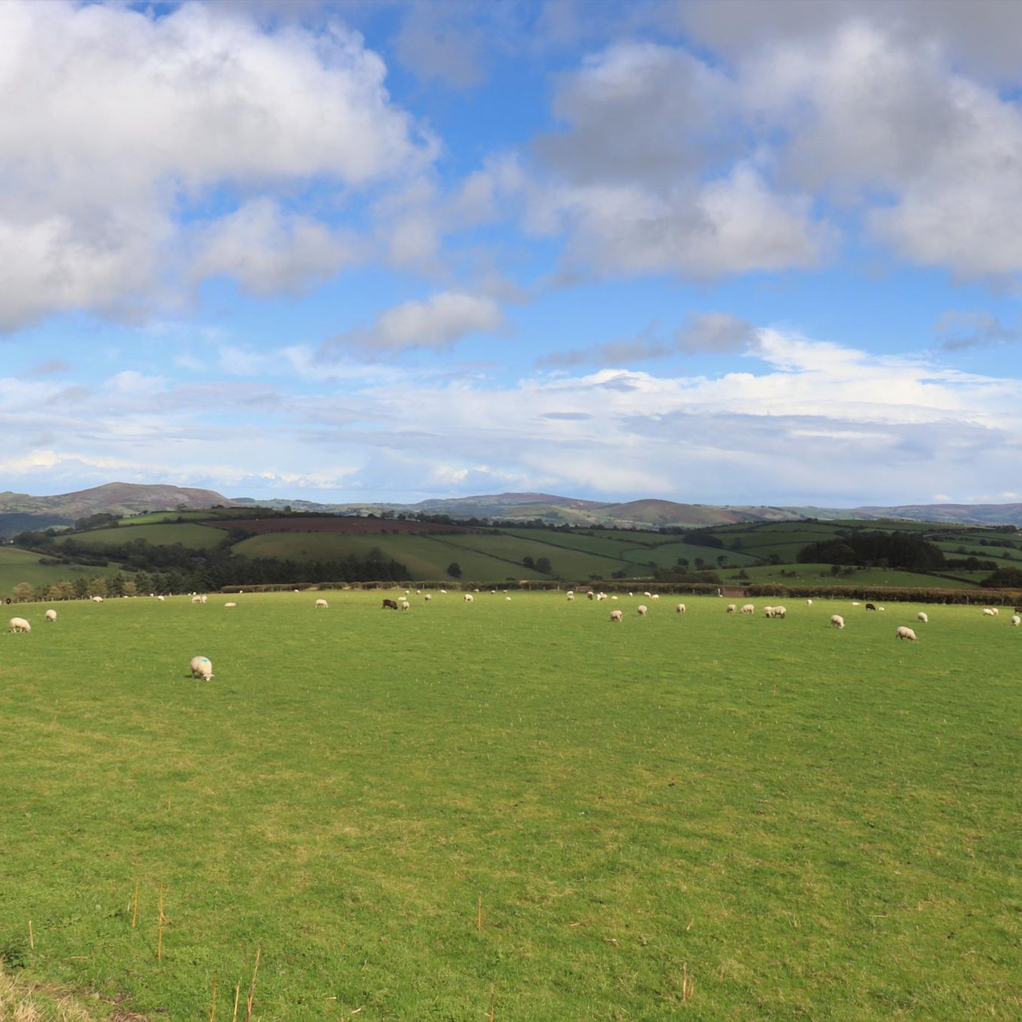
Tips from the Community

Go up the lane past the steep access-path, go past a spring which crosses the stoney lane, arrive at a gate that gives easier access to the summit !! (Only discovered after having hauled my 78years up the previous path!!) Definitely going again! Offa*s Dyke path clearly visible over Long Mountain !! Peter P. from N/C u Lyme.
0
0

A brilliant example of a multivallate Iron Age Fort, one of many forts along the Wales and England border. There are fine ramparts here but today in July, mid summer it is rather overgrown and it is difficult to see the grandness of it all. As Dan says, nobody seems to pay attention to here too, it not maintained, no information boards or signage. A pity as it is an easy walk and has fine views.
3
0

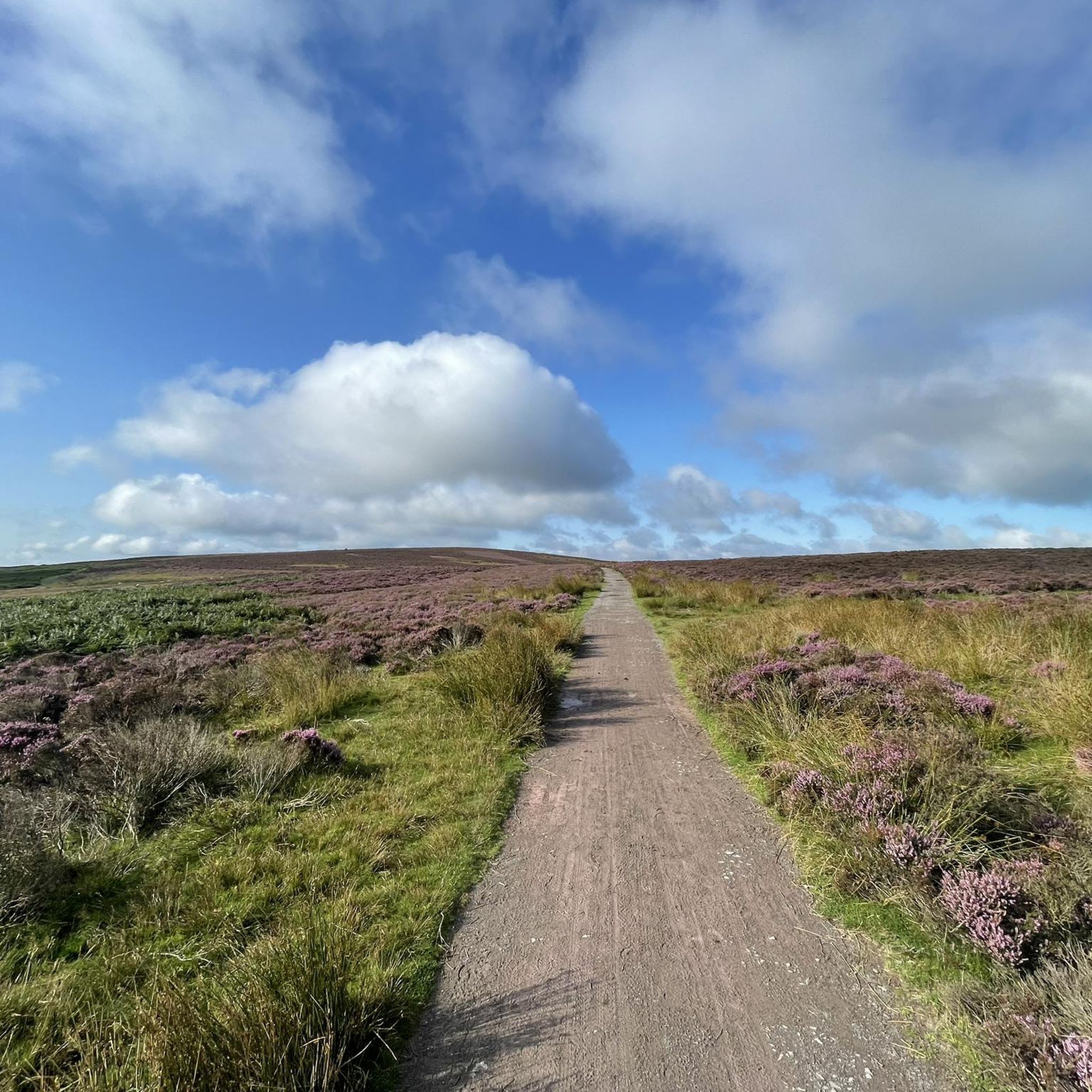
Llanfair Hill lies near the Welsh/English border in Shropshire and has far-reaching views in every direction. Grassy and exposed the hill is also home to a stretch of Offa's Dyke and the long-distance footpath, Jack Mytton Way. There's a trig point at 1,410 feet (430 m).
1
0
Attaining the 932-foot (284 m) summit of Hopesay Hill requires a steep climb out of Hopesay village. It's more than worth the thigh-burn though, because the views over Shropshire's hilly landscape are majestic. The hill is largely open common, exposed to wind and rain so dress accordingly if the weather looks inclement.
0
0
Sunny Hill is the site of Bury Ditches, an Iron Age hillfort dating back to around 500 BC. The fort is exceptionally well-preserved and has impressive defensive earthworks. Once covered in trees, planted by the Forestry Commission, a series of storms led to them being removed and today, the views are fantastic.
0
0
A great little hike to do. Lovely trig pointed/cairned summit and a great viewpoint out over the surrounding area to boot.
3
0

While I was planning my route out, I noticed on one of the ordnance maps online that there is a hill called Llanfair Hill on Offa's Dyke Path. It measures at 430m high, which is somewhere I really wanted to go and see for myself. On the day of the walk, I eventually arrived at the trig point located in a field right next to a metal fence. Llanfair Hill does offer gorgeous views of the Welsh valleys in the distance if you are planning on going walking on a clear day, just like I did.
0
0

Even on a cloudy rainy day the views are amazing. Must be so much better on a sunny one!
0
0
Frequently Asked Questions
Which mountain peaks near Colebatch offer the most impressive views?
For breathtaking panoramic views, consider visiting Corndon Hill summit trig point and cairn, where views stretch for miles over surrounding ridges. Bury Ditches hillfort (Sunny Hill) also provides fantastic views in all directions, as does Burrow Hillfort. Llanfair Hill Trig Point, located on Offa's Dyke Path, offers far-reaching views of the Welsh valleys on a clear day.
Are there any historical mountain peaks to explore near Colebatch?
Yes, the region is rich in history. Corndon Hill summit trig point and cairn stands on the remains of Bronze Age burial cairns. Bury Ditches hillfort (Sunny Hill) is an exceptionally well-preserved Iron Age hillfort dating back to around 500 BC. Similarly, Burrow Hillfort is regarded as a prime example of an Iron Age hillfort with multiple ramparts and ditches.
Are there easy mountain walks suitable for beginners around Colebatch?
While many peaks involve some climbing, the area offers options for easier walks. For instance, the climb to Burrow Hillfort is described as leisurely. You can also find several easy hiking routes in the vicinity, such as the 'Hiking loop from Bury Ditches' which is just over 3 km. For more options, explore the Easy hikes around Colebatch guide.
What are some more challenging mountain climbs in the Colebatch area?
Attaining the summit of Hopesay Hill requires a steep climb out of Hopesay village, offering a good challenge with rewarding views. While not extreme mountaineering, the exposed nature of peaks like Llanfair Hill Trig Point can add to the challenge, especially in inclement weather.
Can I find family-friendly mountain hikes near Colebatch?
Many of the hillforts and viewpoints, such as Bury Ditches hillfort (Sunny Hill), offer engaging historical sites that can be interesting for families. The walks to these sites are often manageable, providing a mix of nature and history. Always check the specific route details for elevation and distance to ensure it suits your family's abilities.
Are the mountain trails around Colebatch dog-friendly?
Generally, many of the public footpaths and common lands around Colebatch's mountain peaks are dog-friendly. However, it's always advisable to keep dogs on a lead, especially near livestock or during ground-nesting bird seasons. For specific trails, check local signage. For example, Llanfair Hill is grassy and open, making it suitable for walks with dogs.
When is the best time to hike the mountains around Colebatch?
The best time to hike is typically during spring, summer, and early autumn when the weather is milder and the days are longer. The views from peaks like Hopesay Hill are majestic on clear days. However, be prepared for exposed conditions on hills like Llanfair Hill, as they can be windy and rainy even in warmer months. Winter walks are possible but require appropriate gear due to potential cold and wet conditions.
What should I wear for hiking in the Colebatch mountains?
Given the exposed nature of many peaks like Hopesay Hill and Llanfair Hill, it's crucial to dress in layers and be prepared for changing weather. Waterproof and windproof outer layers are recommended, along with sturdy hiking boots. Even on sunny days, a hat and sun protection are wise, and always carry enough water and snacks.
What outdoor activities can I do near these mountain peaks?
Beyond hiking, the Colebatch area offers various outdoor activities. You can find numerous road cycling routes, such as the 'Stiperstones National Nature Reserve loop' or the 'Bishop’s Castle to Clun Castle loop'. For more details on cycling, refer to the Road Cycling Routes around Colebatch guide. There are also many other hiking opportunities, including moderate trails like the 'Bishop's Castle & Bankshead loop', which you can find in the Hiking around Colebatch guide.
Are there circular mountain walks available around Colebatch?
Yes, many of the routes in the area are designed as circular walks, allowing you to return to your starting point without retracing your steps. For example, several hiking loops start from Bishop's Castle or Clun. You can explore options like the 'Hiking loop from Bury Ditches' or the 'Bishop's Castle Town Centre loop' in the Easy hikes around Colebatch guide, or more moderate options in the Hiking around Colebatch guide.
What do visitors enjoy most about the mountain peaks around Colebatch?
Visitors consistently praise the incredible panoramic views from summits like Corndon Hill and Bury Ditches. The historical significance of the Iron Age hillforts, such as Burrow Hillfort, is also a major draw. Many appreciate the relatively uncrowded nature of some sites, allowing for a peaceful exploration of both natural beauty and ancient history.
Are there any hidden gem hikes among the Colebatch mountains?
While popular with those in the know, Burrow Hillfort is often described as surprisingly little-visited despite being a prime example of an Iron Age fort with incredible panoramic views. This makes it feel like a hidden gem for those seeking a quieter, historically rich experience.
Most popular attractions around Colebatch

Get inspired with the komoot mobile app


Explore more
See even more amazing summits around Colebatch with these guides:
