The best walks and hikes around Satley
4.5
(583)
4,626
hikers
334
hikes
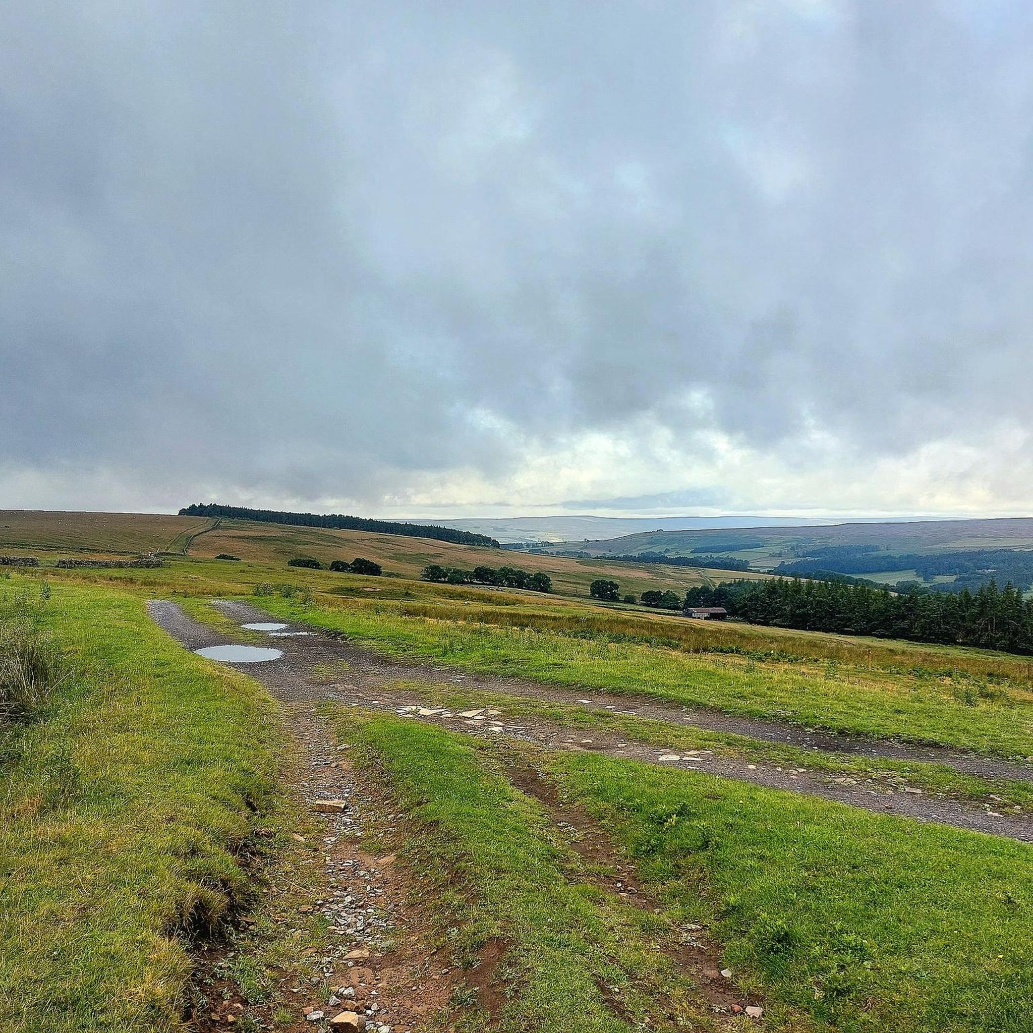
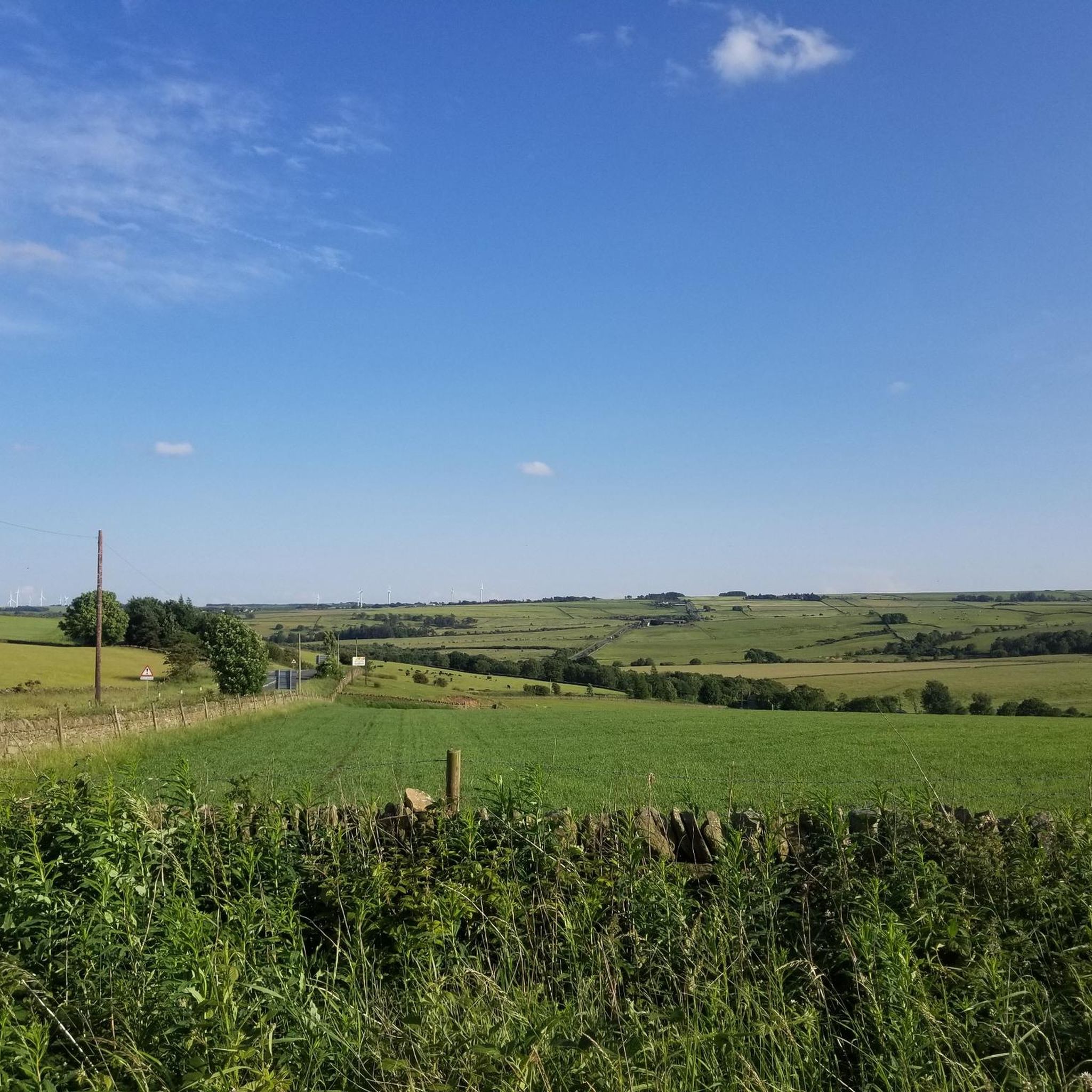
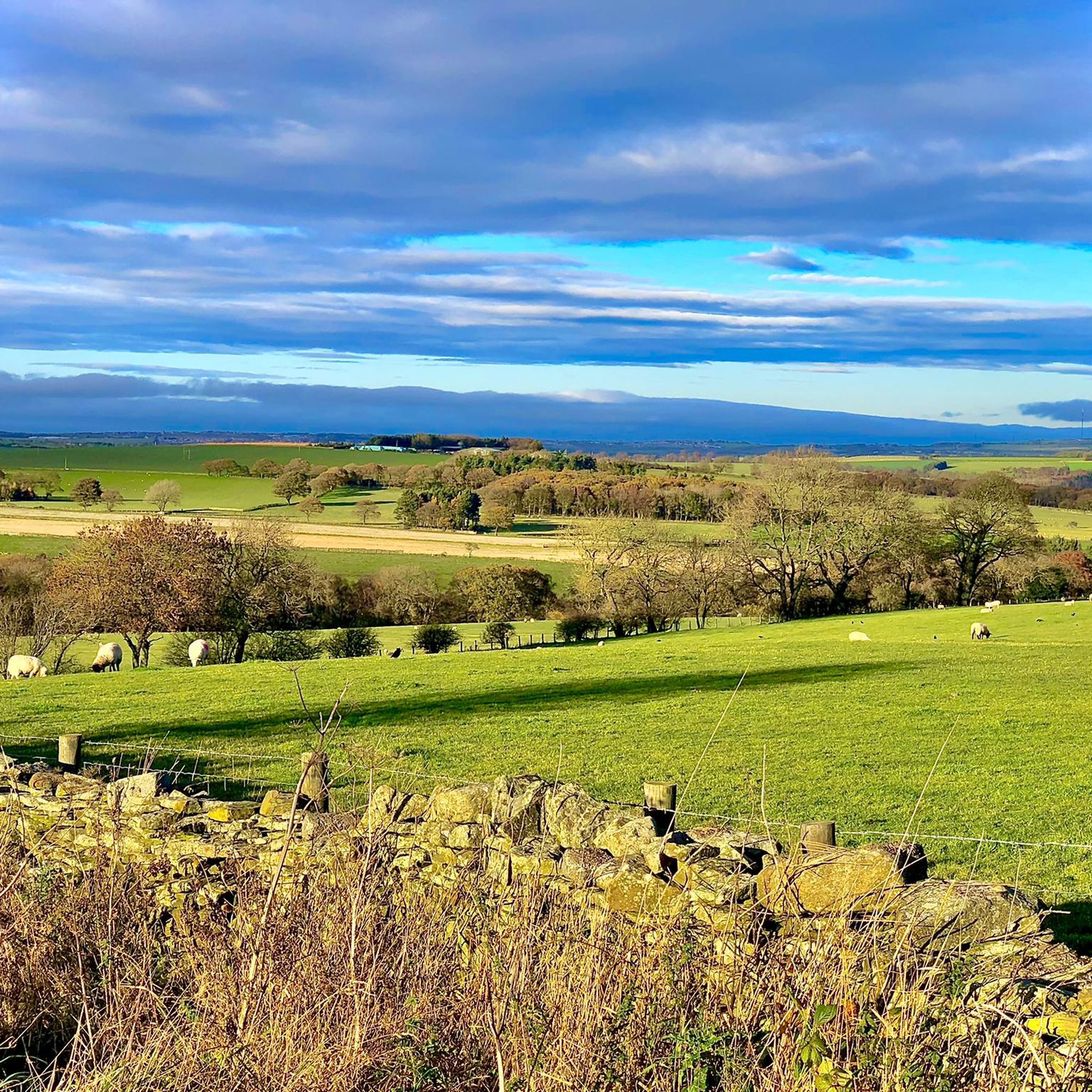
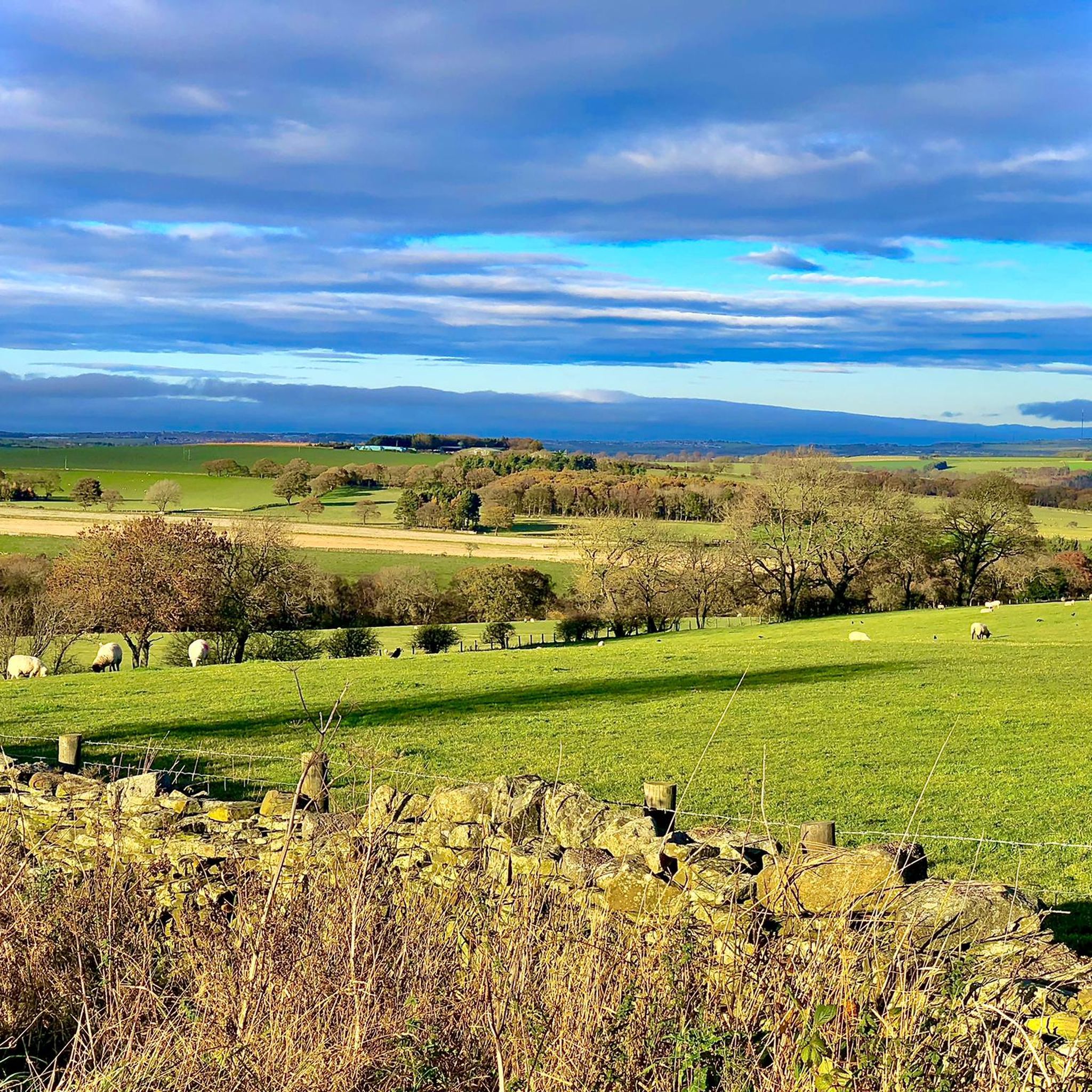
Hiking around Satley offers access to a diverse landscape in County Durham, characterized by tranquil countryside, rolling hills, and pastoral scenery. The area features woodlands, wetlands, and moorland, providing varied terrain for outdoor exploration. Satley is situated near the North Pennines Area of Outstanding Natural Beauty (AONB), known for its geological formations and dales. The local landscape also includes the valley of the Steeley Burn and historical railway structures.
Best hiking trails around Satley
- The most popular hiking route is Tunstall Reservoir Circular Walk, a 2.0 miles (3.2 km) trail that takes 50 minutes to complete. This easy route offers views around the reservoir.
- Another top favourite among local hikers is Tunstall Reservoir loop from Sand Edge Common, an easy 3.7 miles (6.0 km) path. This route explores the surroundings of Tunstall Reservoir, offering a mix of open and wooded sections.
- Local hikers also love the Path Along Waskerley Beck – Tunstall Reservoir loop from Sand Edge Common, a 7.9 miles (12.8 km) trail leading through varied countryside, often completed in about 3 hours 37 minutes.
- Hiking around Satley is defined by its scenic Waskerley Way, the historic Hownsgill Viaduct, and the expansive North Pennines AONB. The network of routes offers options for different ability levels, from easy reservoir loops to more challenging trails.
- The routes in Satley are highly rated by the komoot community with an average score of 4.5 stars from over 480 reviews. More than 4000 hikers have used komoot to explore Satley's varied terrain.
Last updated: September 29, 2026
4.5
(13)
134
hikers
3.16km
00:50
30m
30m
Embark on the Tunstall Reservoir Circular Walk, an easy hike offering varied scenery from open farmland to dense forest tracks. This 2.0-mile (3.2 km) loop provides picturesque views of Tunstall Reservoir as you make your way around its shores. You will experience a gentle elevation gain of 88 feet (27 metres), making it a relaxed journey that takes approximately 49 minutes to complete. The trail guides you through the ancient Backstone Bank Wood, where you'll find uneven dirt paths and tree roots underfoot, adding a natural feel to your walk.
When planning your visit, be aware that the trail features a mix of surfaces, including dirt paths that can be uneven with tree roots, particularly within the wooded areas. If you hike after rain, some sections may become muddy and a bit challenging, so wearing appropriate waterproof footwear is a good idea. You will find several picnic areas and benches strategically placed along the route, offering perfect spots to pause and enjoy the views. This makes it easy to take a break and refresh yourself during your walk.
This circular route is nestled within the North Pennines National Landscape, offering a glimpse into a protected natural area. As you traverse the trail, keep an eye out for diverse birdlife, including Great crested grebes and tufted ducks, especially on the reservoir itself. The ancient Backstone Bank Wood is also an Area of Special Scientific Interest, highlighting its ecological importance. You might even spot various butterflies like the admiral and peacock during warmer months.
4.3
(8)
32
hikers
6.01km
01:45
160m
160m
Easy hike. Great for any fitness level. Easily-accessible paths. Suitable for all skill levels.

4.5
(4)
20
hikers
12.8km
03:38
290m
290m
Moderate hike. Good fitness required. Easily-accessible paths. Suitable for all skill levels.
5.0
(2)
16
hikers
20.0km
05:34
370m
370m
Hard hike. Very good fitness required. Easily-accessible paths. Suitable for all skill levels.
4.0
(2)
15
hikers
11.8km
03:12
160m
160m
Moderate hike. Good fitness required. Easily-accessible paths. Suitable for all skill levels.
Get access to more routes and recommendations from other explorers.
Already have an account?
Our route recommendations are based on thousands of hikes, rides, and runs completed by other people on komoot.
Start today with a free account
Your next adventure awaits.
Tips from the Community

A great little walk with easy parking, decent paths and fantastic views across the open fells.
0
0

lovely walk around the reservoir great places for bird watching saw a kingfisher last time i was there.
0
0

A quiet picnic area alongside the Waskerley Beck with lots of parking. A number of walks are possible from here including the Family Walk, an easy circular route on footpaths accessible for pushchairs and wheelchairs, 1.5 miles long.
0
0

really easy to get to just off public footpath from salters gate
0
0

Nice 3km walk around the reservoir on the lakeside path. It's not far but the path on the east side is quite narrow and rough so fun and adventurous but not so good for buggies & wheelchairs.
0
0
A water supply reservoir completed in 1879, it's now used to help control the flow of the River Wear. There is a nice 2 mile walk around the reservoir which can be linked to a longer walk from nearby Wolsingham.
0
0

A nice quiet place with a 2 mile walk around it. Paths are a bit bumpy but a good walk
1
0
Frequently Asked Questions
How many hiking trails are available around Satley?
Satley and its surrounding area offer a wide selection of hiking opportunities, with over 320 routes available. These trails explore the tranquil countryside, rolling hills, and diverse natural features of County Durham, providing ample choice for all types of hikers.
Are there hiking trails for all skill levels in Satley?
Yes, the Satley area caters to hikers of all abilities. You'll find a good mix of trails, including over 160 easy routes perfect for a leisurely stroll, around 145 moderate trails for those seeking a bit more challenge, and a selection of more difficult hikes for experienced adventurers.
What kind of natural features or landmarks can I expect to see while hiking near Satley?
Hiking around Satley offers a chance to discover a variety of natural features and historical landmarks. You can explore the scenic Waskerley Way, a traffic-free path traversing diverse landscapes. The historic Hownsgill Viaduct provides impressive views, and the distinctive Elephant Trees on Pikeston Fell are a unique local landmark. The area is also close to the expansive North Pennines Area of Outstanding Natural Beauty (AONB), known for its stunning moorlands and dales.
Are there any family-friendly hiking routes in Satley?
Yes, Satley offers several family-friendly options. Many of the easier routes, particularly those around reservoirs, are suitable for families. For example, the Tunstall Reservoir Circular Walk is an easy 2-mile trail that provides pleasant views and is manageable for most ages.
Are dogs allowed on the hiking trails around Satley?
Many trails in the Satley area are dog-friendly, allowing you to enjoy the countryside with your canine companion. It's always recommended to keep dogs on a lead, especially near livestock or in nature conservation areas, and to follow local signage regarding pet regulations.
Can I find circular hiking routes in the Satley area?
Yes, circular routes are a popular option around Satley. Many trails, especially those exploring the local reservoirs like Tunstall Reservoir, are designed as loops. The Tunstall Reservoir loop from Sand Edge Common is an example of an easy circular path that explores both open and wooded sections.
What is the best time of year for hiking in Satley?
The tranquil countryside around Satley is enjoyable throughout the year. Spring and summer offer lush greenery and warmer temperatures, ideal for exploring. Autumn brings vibrant colors to the woodlands, while winter can provide crisp, scenic walks, though some paths might be muddy or icy. Always check local weather conditions before heading out.
Are there any lakes or reservoirs to visit near Satley while hiking?
Yes, the Satley area is home to several picturesque reservoirs that are popular for hiking. You can explore the surroundings of Tunstall Reservoir, Hisehope Reservoir, and Smiddy Shaw Reservoir. These offer pleasant walks with water views and opportunities for birdwatching.
What do other hikers enjoy most about hiking in Satley?
The hiking routes around Satley are highly regarded by the komoot community, with an average rating of 4.5 stars from over 480 reviews. Hikers often praise the area's tranquil, scenic countryside, the diversity of landscapes from woodlands to moorlands, and the well-maintained trails that cater to various abilities.
Are there any longer, more challenging hikes available near Satley?
For those seeking a more challenging experience, Satley offers longer routes that delve deeper into the varied countryside. An example is the Car Park – Path Along Waskerley Beck loop from Drover House, a difficult 12.4-mile (20 km) trail with significant elevation changes, providing a rewarding adventure for experienced hikers.
Is public transport available to access hiking trails around Satley?
While Satley is a rural village, public transport options may be limited. It's advisable to check local bus schedules for connections to nearby towns or trailheads. Many hikers choose to drive to access the starting points of routes, especially for those venturing into the more remote parts of the North Pennines AONB.
Are there places to eat or stay overnight near the hiking trails in Satley?
Satley, as a farming community, offers a tranquil base for hikers. While specific cafes or pubs directly on every trail might be limited, the village and nearby areas provide options for refreshments and accommodation, including bed-and-breakfasts, allowing you to extend your exploration of the picturesque countryside.
Most popular attractions around Satley

Get inspired with the komoot mobile app


Explore more
Browse the best Hikes in other regions.
