The best road cycling routes around Churchill
4.6
(235)
7,194
riders
439
rides
Road cycling routes around Churchill traverse a landscape characterized by rolling hills, quiet country lanes, and waterways such as the Droitwich Canal. The region features a mix of open countryside and areas with historical landmarks like Hanbury Church. Elevations are generally moderate, with some routes including climbs up to around 1,160 feet (350 meters). This terrain provides varied road cycling experiences suitable for different skill levels.
Best road cycling routes around Churchill
- The most popular road cycling route is Quiet…
Last updated: October 11, 2026
4.9
(8)
44
riders
50.9km
02:27
350m
350m
Moderate road ride. Good fitness required. Mostly well-paved surfaces and easy to ride.
26
riders
Moderate road ride. Good fitness required. Mostly well-paved surfaces and easy to ride.

25
riders
22.4km
01:01
140m
140m
Easy road ride. Great for any fitness level. Mostly well-paved surfaces and easy to ride.
10
riders
48.2km
02:09
320m
320m
Moderate road ride. Good fitness required. Mostly well-paved surfaces and easy to ride.
8
riders
Moderate road ride. Good fitness required. Mostly well-paved surfaces and easy to ride.
Get access to more routes and recommendations from other explorers.
Already have an account?
Our route recommendations are based on thousands of hikes, rides, and runs completed by other people on komoot.
Start today with a free account
Your next adventure awaits.
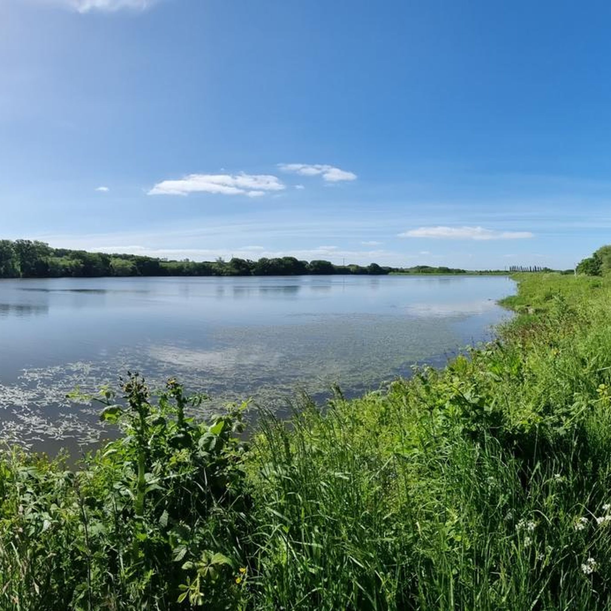
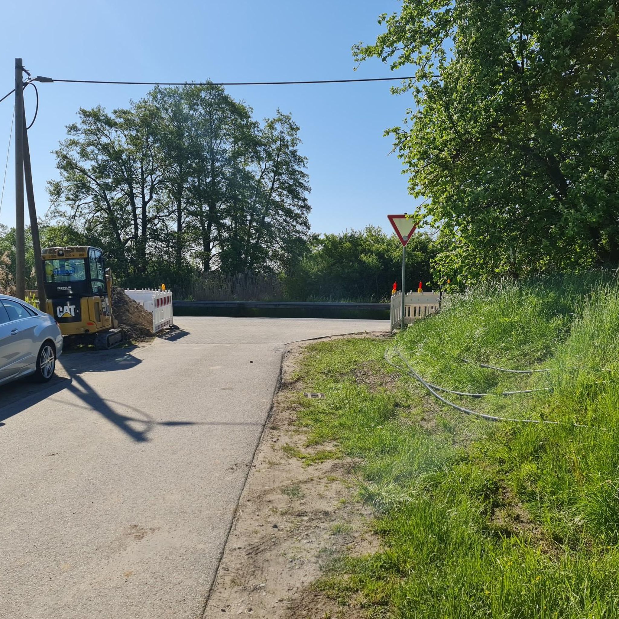
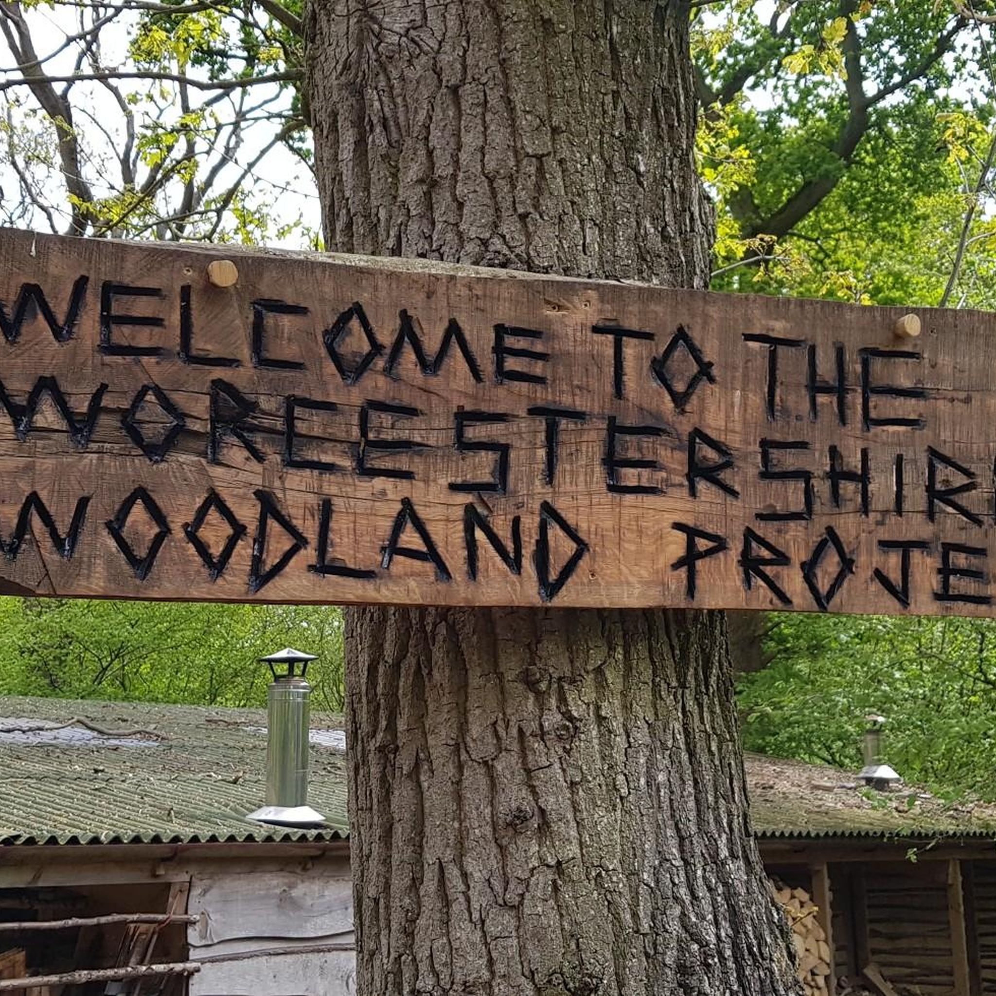
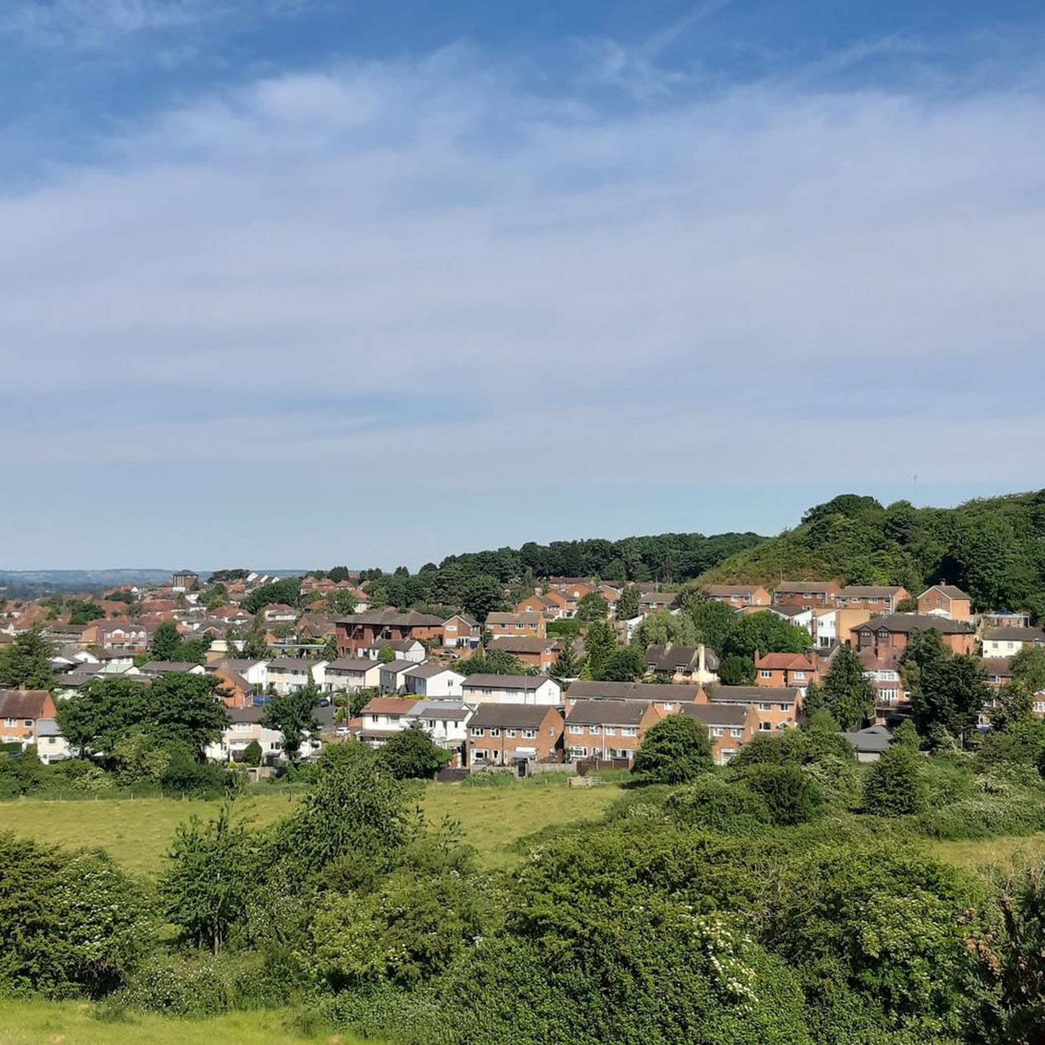
Tips from the Community

The Stock Green to Himbleton lane is a delight, lovely road and usually very quiet.
0
0
Shell Ford is both picturesque and notorious. It gets very deep during floods and countless motorists have drowned their cars here over the years. The old Packhorse bridge is the best way to get across on foot or with a bike as the ford itself gets very slippery.
0
0

Always use the footbridge. Very slippy! A cyclist broke their shoulder.
0
0


Lovely place to sit and be peaceful. Fabulous views over surrounding countryside. Lovely old church and grassy graveyard. Fab starting point for a ramble through Hanbury woods and fields and Hanbury Hall estate
0
0
Frequently Asked Questions
How many road cycling routes are available around Churchill?
There are over 450 road cycling routes around Churchill, offering a wide variety of options for different skill levels and preferences.
Are there road cycling routes suitable for beginners in Churchill?
Yes, Churchill offers a good selection of routes for beginners. There are 131 easy routes available. An example is the Bench With Japanese Proverb loop from St. Peter the Great County, which is 18.4 miles long and features moderate elevation changes.
What about more challenging road cycling routes in the area?
For experienced cyclists seeking a challenge, there are 42 difficult road cycling routes around Churchill. These routes often include more significant climbs and longer distances, providing a rewarding experience.
Can I find long-distance road cycling routes in the Churchill area?
Yes, many routes offer substantial distances. For example, the Quiet Country Lane – Ford Crossing loop from Worcestershire covers 31.6 miles (50.9 km), making it a great option for a longer ride.
What kind of scenery can I expect on road cycling routes around Churchill?
Road cycling routes around Churchill traverse a landscape of rolling hills, quiet country lanes, and waterways like the Droitwich Canal. You'll experience a mix of open countryside and areas featuring historical landmarks.
Are there any historical landmarks or attractions to see while road cycling?
Absolutely. Many routes pass by or near historical sites. For instance, the Hanbury Church and Viewpoint – Droitwich Canal in Vines Park loop from Worcestershire offers views of Hanbury Church. Other notable attractions in the wider area include Worcester Cathedral and Pershore Old Bridge.
What do other cyclists say about road cycling in Churchill?
The road cycling routes in Churchill are highly rated by the komoot community, with an average score of 4.49 stars from over 210 reviews. Cyclists often praise the quiet country roads and the varied terrain.
Are the road cycling routes around Churchill typically circular?
Many of the road cycling routes in Churchill are designed as loops, allowing you to start and finish at the same point. This includes popular options like the St John the Baptist Church – Seaford Ford and Footbridge loop from Worcestershire.
When is the best time of year for road cycling in Churchill?
The spring and summer months generally offer the most favorable conditions for road cycling in Churchill, with milder weather and longer daylight hours. However, the quiet country lanes can be enjoyable in autumn as well, with changing foliage.
Are there any routes that feature waterways or canals?
Yes, several routes incorporate sections along waterways. The Hanbury Church and Viewpoint – Droitwich Canal in Vines Park loop from Worcestershire, for example, follows parts of the Droitwich Canal, offering pleasant waterside cycling.
What is the highest elevation gain I might encounter on a road cycling route in Churchill?
While elevations are generally moderate, some routes around Churchill include climbs up to around 1,160 feet (350 meters). The Quiet Country Lane – Ford Crossing loop from Worcestershire features an elevation gain of approximately 351 meters.
Are there family-friendly road cycling options in Churchill?
For families, easy routes with less traffic and gentler gradients are ideal. The Bow Brook loop from Peopleton is an easy 15.9-mile (25.5 km) route with minimal elevation, making it suitable for a family outing.
Most popular routes around Churchill
Most popular attractions around Churchill

Get inspired with the komoot mobile app


Explore more
Browse the best Road cycling routes in other regions.
