The best running trails around Stretton
4.0
(16)
177
runners
19
runs
Jogging routes around Stretton traverse a landscape characterized by picturesque, hilly terrain, often referred to as "Little Switzerland." The region features expansive heather-clad plateaus like the Long Mynd, which includes moorlands, streams, and wooded valleys. Valleys such as Carding Mill Valley, with the Ashbrooke River and Lightspout Waterfall, offer varied running surfaces. Iconic hills like Caer Caradoc and the Stiperstones ridge provide challenging ascents and panoramic views.
Best jogging routes around Stretton
- The most popular jogging route is Shobnall Fields…
Last updated: October 4, 2026
22
runners
Moderate run. Good fitness required. Mostly paved surfaces. Suitable for all skill levels.
13
runners
Moderate run. Good fitness required. Mostly paved surfaces. Suitable for all skill levels.

19
runners
18.6km
02:07
40m
40m
Hard run. Very good fitness required. Mostly paved surfaces. Suitable for all skill levels.
14
runners
18.4km
01:59
100m
100m
Hard run. Very good fitness required. Mostly paved surfaces. Suitable for all skill levels.
5.0
(1)
22
runners
7.50km
00:52
10m
10m
Moderate run. Good fitness required. Mostly paved surfaces. Suitable for all skill levels.
Get access to more routes and recommendations from other explorers.
Already have an account?
Our route recommendations are based on thousands of hikes, rides, and runs completed by other people on komoot.
Start today with a free account
Your next adventure awaits.

Tips from the Community

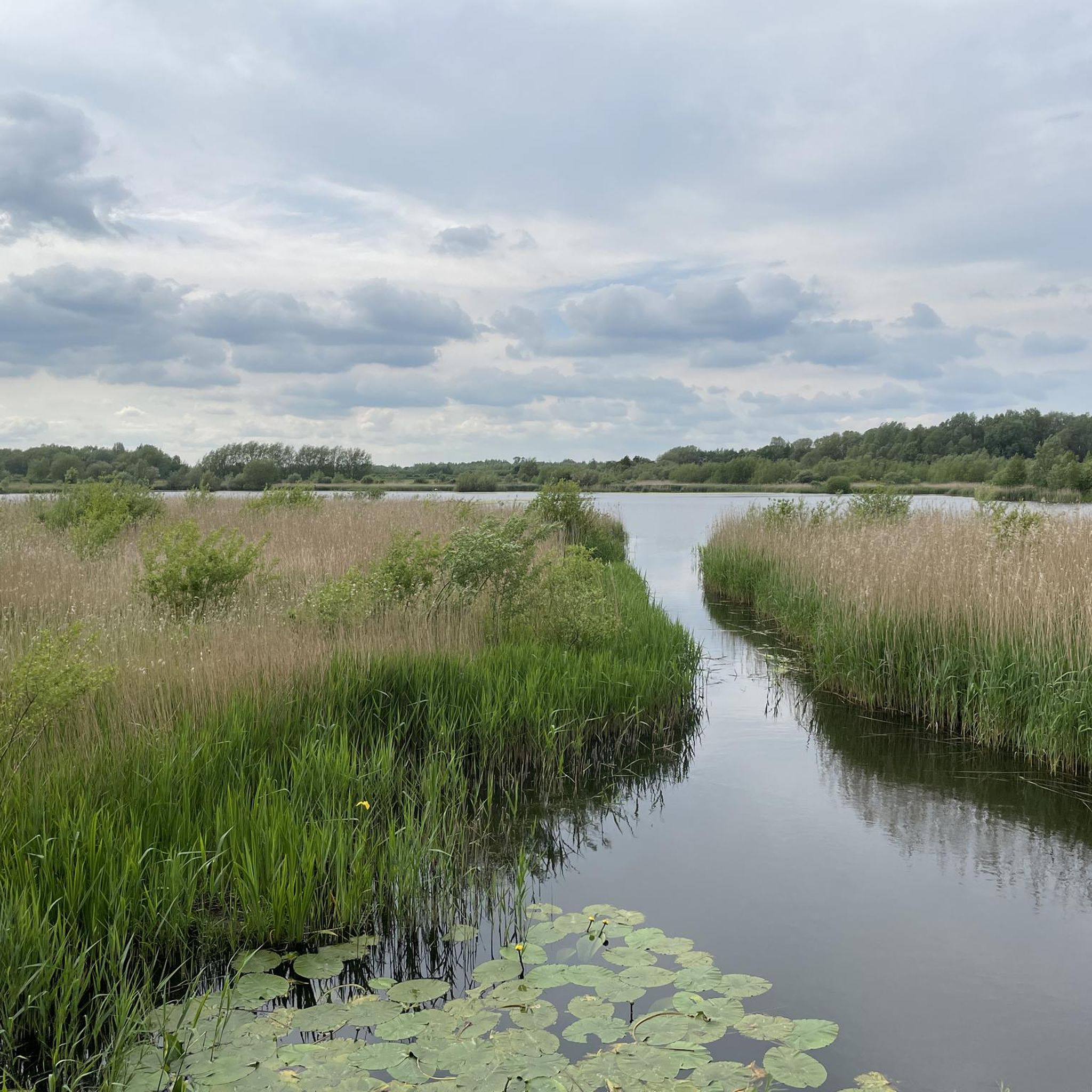
Surface is gravel and at times quite rocky so only suitable for gravel or MTB.
0
0

Nice little cafe that welcomes cyclists. Seating available inside and also in the courtyard. Various others shops around the courtyard. Cycles can be parked in the courtyard within view from the cafe.
0
0

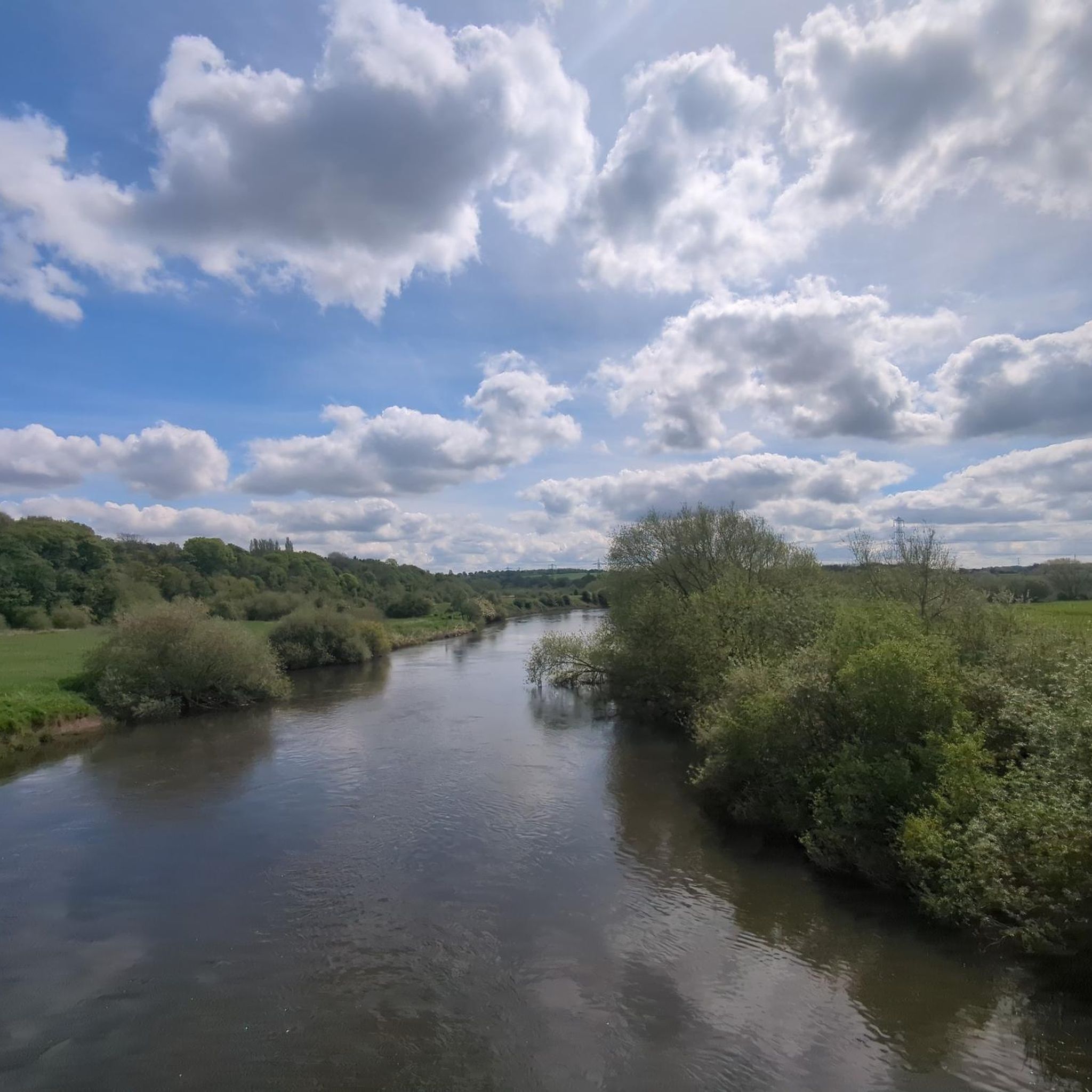
The point where the Trent and Mersey Canal crosses the River Dove
1
0

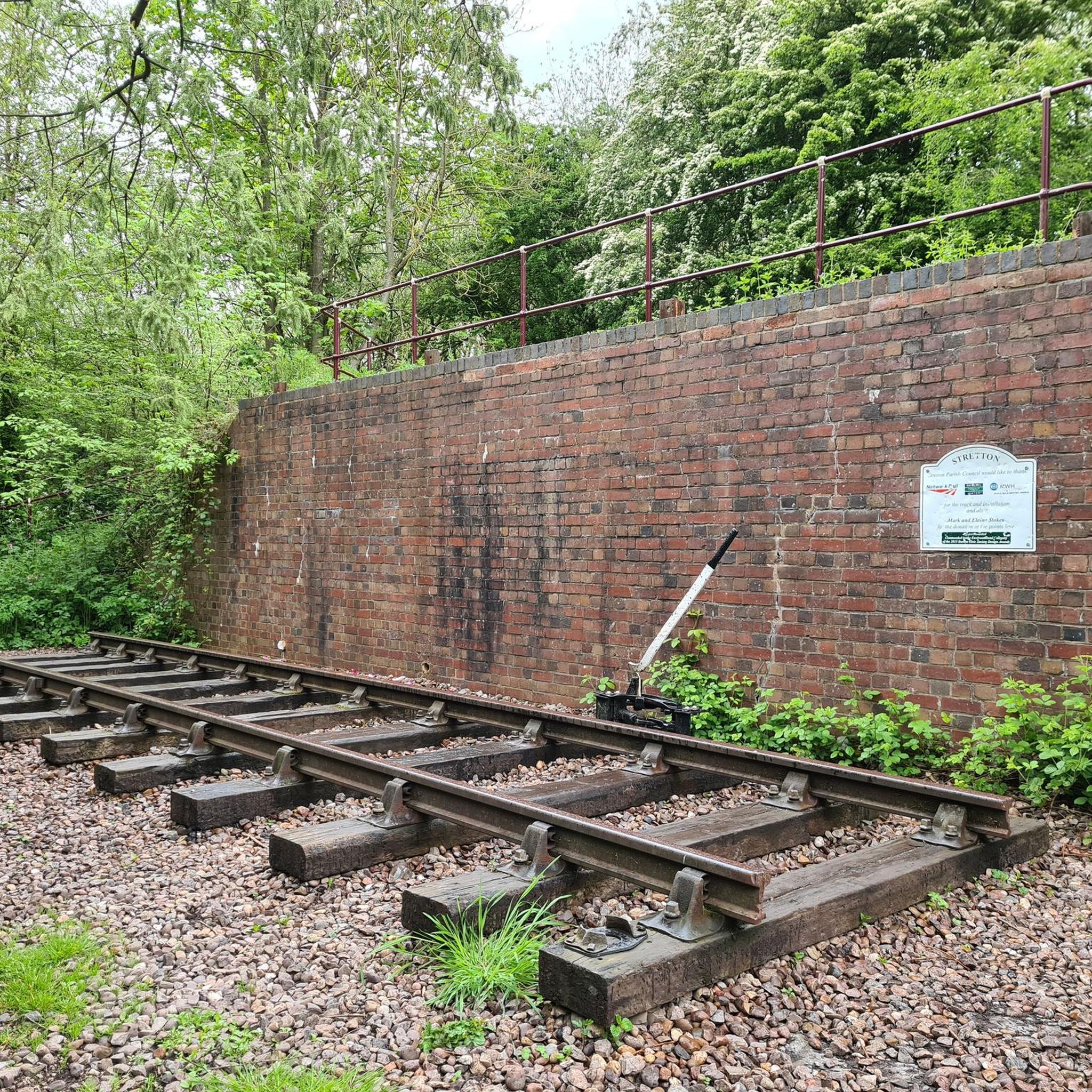
The Crossing House, or Crossing Cottage, used to sit on the NSRC 'Jinnie' line which ran between Burton Upon Trent and Tutbury from 1848 until 1960. The track was dismantled in the 1970s, and some of the route now forms Princess Way, though some is a footpath that runs from Stretton to Rolleston on Dove.
0
0
Eggy-Peggy Lane used to connect Bitham Lane to Bitham Clay Pit. The origin of the name is in doubt. Many people say it is because it was a good place for bird nesting (and collecting eggs which is now illegal) plus the fact that gypsy caravans sometimes parked on the lane to cut wood from the hazel trees to make their traditional clothes pegs to sell in the area. A very old name for the hawthorn tree was the Heg-Peg Tree so (as the hedges were mainly hawthorn and hazel) Eggy Peggy Lane may be a corruption of Heggy Peggy Lane!
0
0
Frequently Asked Questions
How many running routes are available in the Stretton area?
There are over 19 dedicated jogging routes around Stretton listed on komoot, offering a variety of distances and difficulties to suit different preferences.
What kind of terrain can I expect on Stretton's jogging paths?
Stretton, often called "Little Switzerland," features diverse terrain. You'll find expansive heather-clad plateaus like The Long Mynd, river valleys such as Carding Mill Valley with its streams, and iconic hills like Caer Caradoc and the Stiperstones ridge. Routes range from gentle slopes to challenging ascents, providing varied surfaces for your run.
Are there running routes suitable for beginners or those looking for an easier run?
Yes, Stretton offers several easier jogging options. There are 2 routes specifically categorized as easy, and many moderate routes also provide accessible sections. For example, parts of Carding Mill Valley offer gentler paths suitable for a relaxed run.
Are there challenging running trails for experienced runners in Stretton?
Absolutely. For experienced runners seeking a challenge, Stretton has 4 routes categorized as difficult. The area's distinctive hills like Caer Caradoc and the Stiperstones provide rewarding ascents with breathtaking panoramic views. An example of a challenging route is the Hillfield Lane Bridge – Monks Bridge (Egginton Bridge) loop from Stretton, which covers 12 miles with varied terrain.
Can I find jogging routes that pass by waterfalls in Stretton?
Yes, Carding Mill Valley, a popular gateway to the Long Mynd, features the picturesque Lightspout Waterfall in its upper reaches. You can find routes that lead through this stunning valley, offering a scenic backdrop for your run.
What natural landmarks or viewpoints can I see while jogging in Stretton?
Stretton is rich in natural landmarks. You can enjoy panoramic views from The Long Mynd, explore the distinctive shape and jagged crags of Caer Caradoc, or discover the unique rocky outcrops, including the Devil's Chair, along the Stiperstones ridge. These offer spectacular vistas across the Shropshire countryside.
Are the running trails in Stretton dog-friendly?
Many of the outdoor trails in Stretton, particularly across open access land like The Long Mynd, are generally dog-friendly. However, it's always recommended to keep dogs under control, especially near livestock, and to check for any specific local restrictions or signage on individual routes.
Are there family-friendly jogging routes in Stretton?
Yes, several routes are suitable for families, especially those looking for less strenuous options. Areas like Carding Mill Valley offer paths that can be enjoyed by families. Consider routes with moderate or easy difficulty ratings for a more relaxed family outing.
What do other runners enjoy the most about jogging in Stretton?
The running routes in Stretton are highly rated by the komoot community, with an average score of 3.8 stars from over 15 reviews. Runners frequently praise the area's stunning natural landscapes, the variety of terrain from moorlands to valleys, and the rewarding panoramic views from hills like The Long Mynd and Caer Caradoc.
Are there any routes that offer a good mix of nature and canal-side running?
Yes, some routes combine natural settings with pleasant canal-side paths. For instance, the Kingfisher Trail – Shobnall Fields Canal loop from Pirelli Stadium is a popular 4.7-mile trail that leads through canal-side sections, offering a different kind of scenic run.
Can I find routes that are good for longer distance training runs?
Stretton offers several longer routes ideal for endurance training. The Shobnall Fields Canal – Kingfisher Trail loop from Pirelli Stadium is an 8-mile route, and the St Wystan's Church, Repton – Jinny Nature Trail loop from Pirelli Stadium extends to nearly 12 miles, providing ample distance for longer runs.
Most popular routes around Stretton
Most popular attractions around Stretton

Get inspired with the komoot mobile app


Explore more
Browse the best Running Trails & Routes in other regions.
