The best walks and hikes around Sneaton
4.6
(2008)
16,713
hikers
27
hikes
Hiking around Sneaton provides access to the varied landscapes within the North York Moors National Park. The region is characterized by dense woodlands like Sneaton Forest, open moorland, and river valleys. Many routes feature points of interest such as the Falling Foss waterfall and paths along May Beck.
Best hiking trails around Sneaton
- The most popular hiking route is May Beck and Falling Foss loop — North York Moors National Park, a 3.1 mile (5.0 km) trail that takes around 1 hour 20 minutes to complete. This easy route follows woodland paths to the Falling Foss waterfall.
- Another top favourite among local hiking enthusiasts is Falling Foss and Greystone Hills loop — North York Moors National Park, a moderate 8.8 mile (14.2 km) path. The trail combines woodland sections with ascents over the Greystone Hills.
- Local hiking enthusiasts also love the Shooting House Rigg and Stony Leas loop — North York Moors National Park, a 7.7 mile (12.3 km) trail leading through open moorland, often completed in about 3 hours 25 minutes.
- Hiking around Sneaton is defined by woodland trails, open moorland, and river valleys. The network of public footpaths offers routes suitable for different fitness and experience levels.
- The routes in Sneaton are highly rated by the komoot community with an average score of 4.5 stars from over 500 reviews. More than 4,400 hikers have used komoot to explore Sneaton's varied terrain.
Last updated: September 27, 2026
4.1
(17)
48
hikers
4.97km
01:22
80m
80m
Easy hike. Great for any fitness level. Easily-accessible paths. Suitable for all skill levels.
4.4
(5)
20
hikers
14.2km
03:53
230m
230m
Moderate hike. Good fitness required. Mostly accessible paths. Sure-footedness required.

13
hikers
12.3km
03:23
190m
190m
Moderate hike. Good fitness required. Mostly accessible paths. Sure-footedness required.
4.7
(10)
98
hikers
7.63km
02:07
140m
140m
Moderate hike. Good fitness required. Easily-accessible paths. Suitable for all skill levels.
4.9
(11)
26
hikers
10.1km
02:50
200m
200m
Moderate hike. Good fitness required. Easily-accessible paths. Suitable for all skill levels.
Get access to more routes and recommendations from other explorers.
Already have an account?
Our route recommendations are based on thousands of hikes, rides, and runs completed by other people on komoot.
Start today with a free account
Your next adventure awaits.
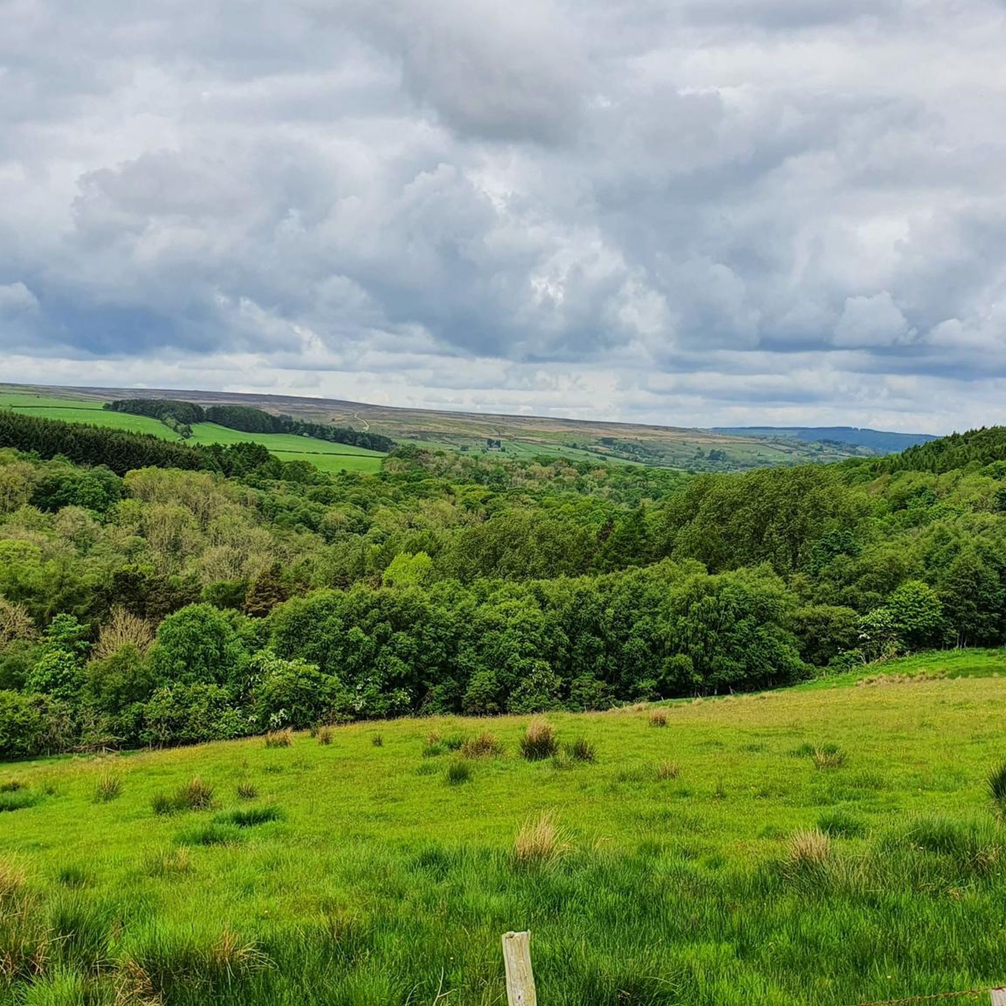
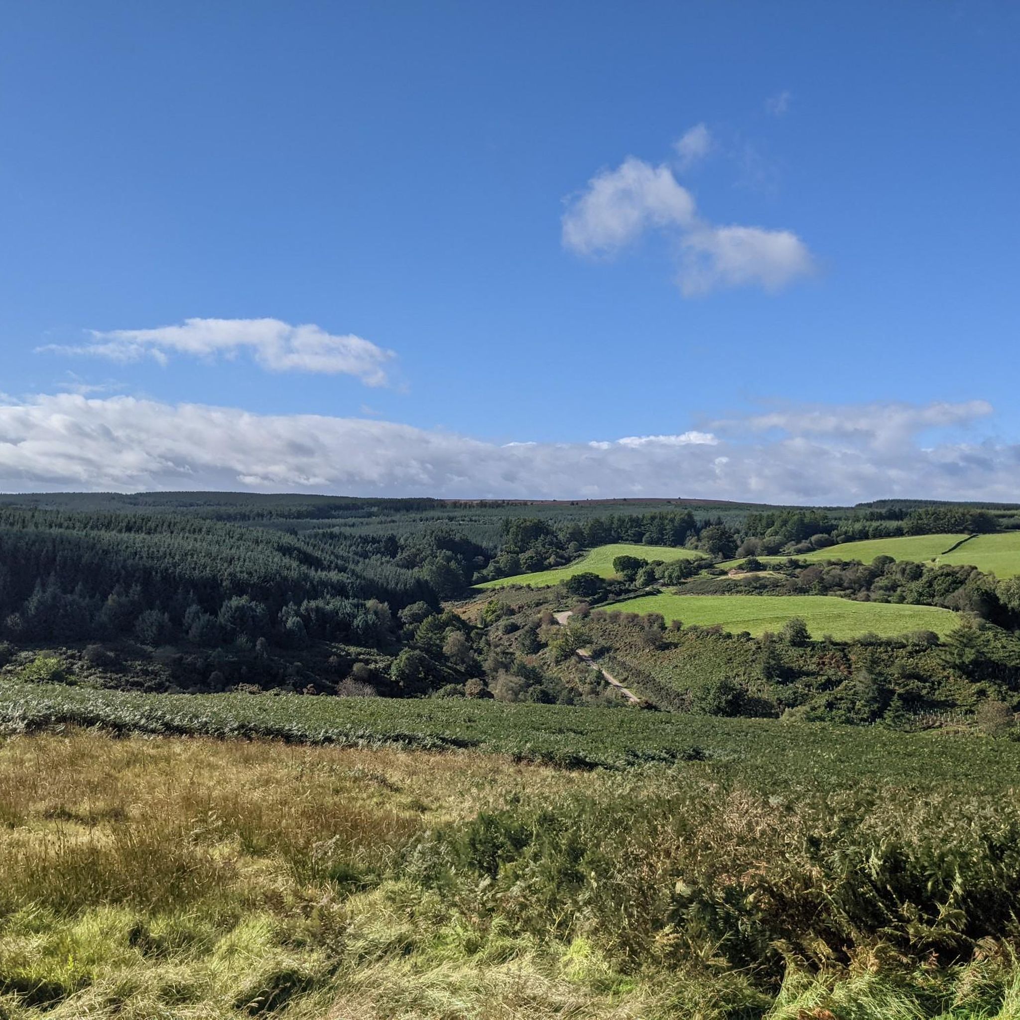
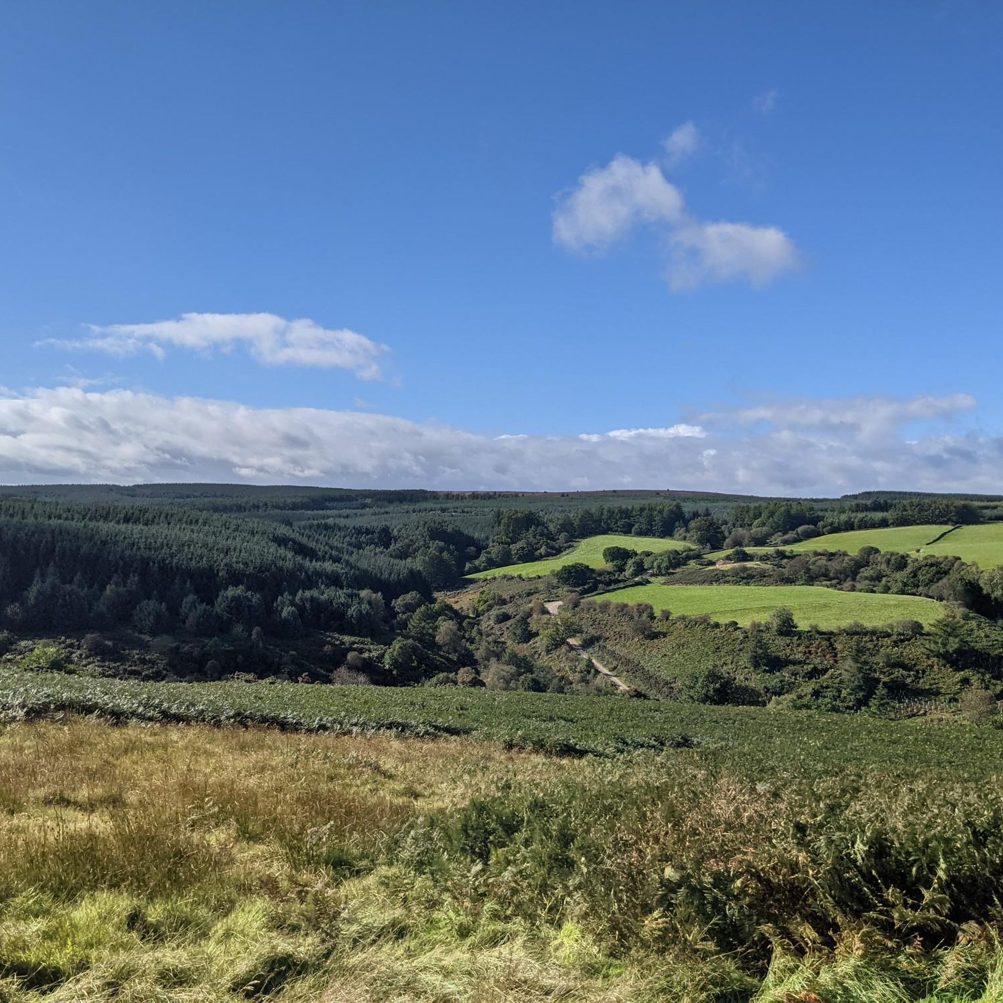
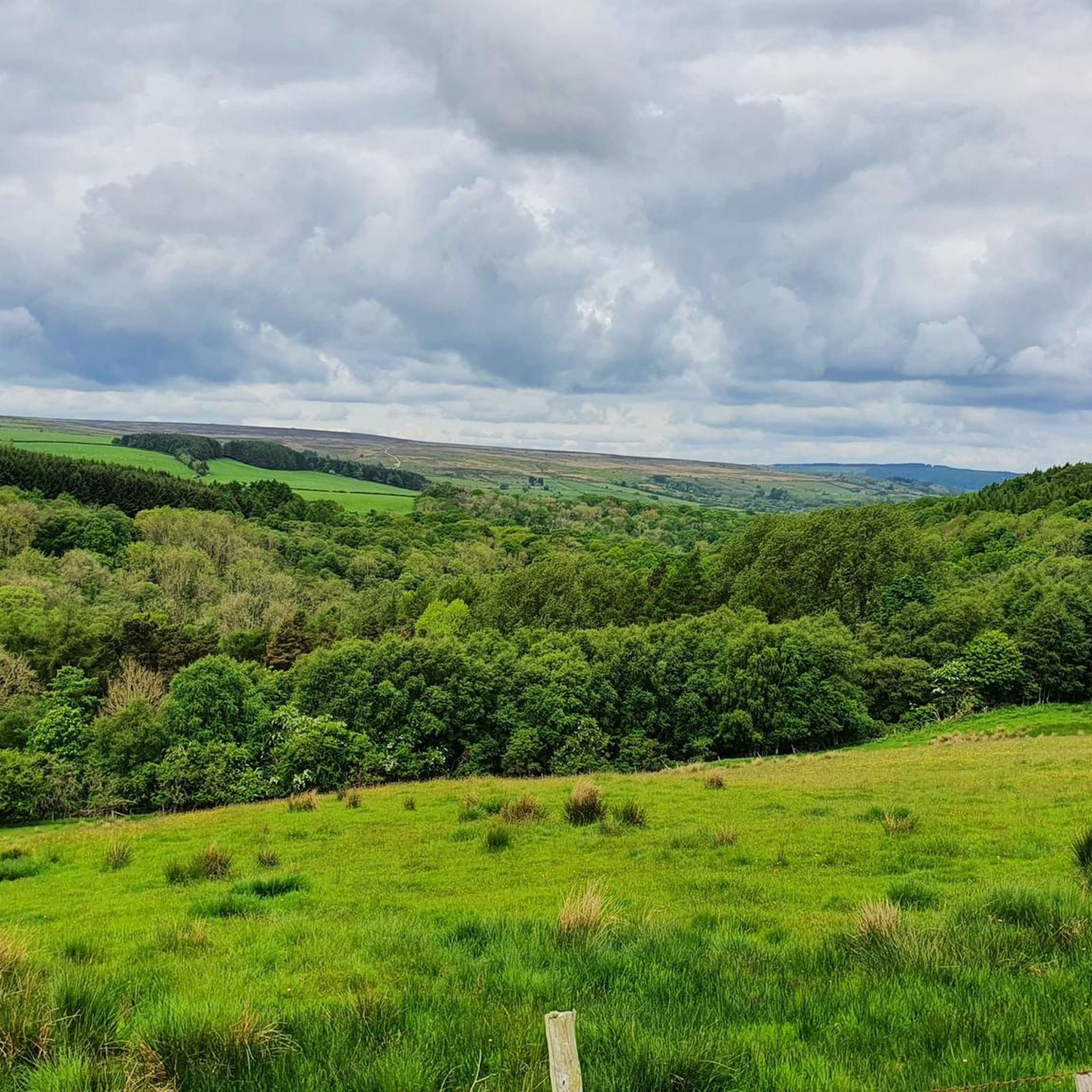
Tips from the Community


Scenic route across Sleights Moor, connecting Sleights village with the upland ridge near Leas Head Farm. It was historically used by farmers, drovers, and quarrymen, providing access to grazing land and stone quarries on the moor. The track forms part of the network of estate and toll roads built in the 18th–19th centuries, when landowners improved communications across the moors.
1
0
Ancient semi-natural woodland that covers about 26 hectares and has been continuously wooded for centuries. Really nice walk, some of it on uneven ground perilously close to the quite high and steep banks of May Beck and Little Beck. Provides a respite from the biting moorland wind in winter.
0
0

Standing in a very prominent position, this small sacred monument – visible from afar – towers over the Scarborough landscape. Including the predecessor of today's ancient cross, the almost incomprehensible age of 14 centuries since a cross first stood here comes to the almost incomprehensible. The plateau on which the stone (presumably granite) cross stands is surrounded by a ring of rocks, the significance of which, however, is no longer clear to today's hiker. '@Dan Hobson' and '@RichD' have already commented on the very distant history of the local landmark known as "LILLA CROSS," which, given the purpose of its erection, can be classified as a memorial cross.
0
0


Ann’s Cross is both a wayside cross and a boundary cross mounted on a bronze age bowl barrow on Foster Howes Rigg. It consists of a medieval base and a broken shaft. It marked the boundary of the old Whitby Strand Wapentake, a sub division administrative area of the North Riding of Yorkshire. It was also a wayside cross sitting just to the west of an unpaved road known as the Panniermans Causeway which ran from Sil Howe to Hackness with other major routes branching off.
1
0
Lilla didn't survive the attempt on King Edwin's life by a West Saxon messenger, hence the cross to memorialise him. The Old Salt Road and the Pannierman's Way both intersected at the cross, and the cross marked the meeting point of four ancient parishes, and the edge of ownership of Whitby Abbey.
2
0
Frequently Asked Questions
Are there any easy, family-friendly walks near Sneaton?
Yes, the area offers several gentle walks suitable for families. The Falling Foss Tea Garden – Falling Foss loop from Sneaton is a short, easy walk of about 1.7 miles (2.8 km) that is perfect for a quick outing. The paths are generally well-maintained, making it accessible for most ages.
Can I take my dog on the hiking trails around Sneaton?
Many trails in and around Sneaton are dog-friendly, especially through Sneaton Forest and the wider North York Moors. However, you will be walking through areas with wildlife and potentially livestock, so it's essential to keep your dog under control, and on a lead where required. Always check for local signage, particularly during bird nesting season on the moors.
What are the parking options for visiting Falling Foss waterfall?
There are two main car parks for accessing Falling Foss. One is the Forestry England car park at May Beck, which is a popular starting point for walks to the waterfall. Another smaller car park is located closer to the Falling Foss Tea Garden. Both can get very busy, especially on weekends and during holidays, so arriving early is recommended.
Are there any circular walks that start from Sneaton?
Yes, there are several circular routes available. For a moderate hike that takes you through varied scenery including woodland, consider the Little Beck Wood – Falling Foss Tea Garden loop from Sneaton. This trail is just under 5 miles (8 km) and offers a great way to experience the local landscape without needing to arrange transport back.
What kind of scenery can I expect on the moorland hikes?
The moorland hikes offer a completely different experience to the woodland trails. On a route like the Shooting House Rigg and Stony Leas loop, you can expect vast, open landscapes with expansive views. The terrain is characterized by heather, which creates a stunning purple landscape in late summer, and wide, often exposed, paths.
How can I get to the Cinder Track from Sneaton?
The Cinder Track, a popular traffic-free route along the old railway line between Whitby and Scarborough, can be accessed from Sneaton via public footpaths. You can walk towards Whitby and join the track there. It's a well-regarded path for both walking and cycling, offering coastal views and a relatively flat surface.
Are there any longer, more challenging hikes in the area?
For those seeking a more strenuous day out, the Falling Foss and Greystone Hills loop is a great option. At nearly 9 miles (14.2 km), this moderate trail combines the woodland beauty of Falling Foss with more challenging ascents over the Greystone Hills, rewarding you with panoramic views of the surrounding countryside.
What do other hikers enjoy most about the trails around Sneaton?
The trails around Sneaton are highly rated by the komoot community. Hikers often praise the variety of landscapes, from the enchanting woodlands and waterfalls of Sneaton Forest to the vast, open spaces of the North York Moors. The presence of well-marked paths and points of interest like the Hermitage rock carving are also frequently mentioned highlights.
Are there any pub walks in the area?
While there are no pubs directly on most of the woodland trails, many routes start or finish in or near villages like Sneaton or Littlebeck where you can find a pub. A common practice is to plan a circular walk that concludes near a village, allowing for refreshments after your hike. The Wilson Arms in Sneaton is a known starting point for some local walkers.
What is the North York Moors National Park like for hiking?
The North York Moors National Park offers a vast and diverse hiking environment. It features one of the largest expanses of heather moorland in the UK, deep valleys (dales), ancient woodlands, and a dramatic coastline. With over 1,400 miles of public rights of way, it provides endless opportunities for both gentle strolls and challenging long-distance treks. For more information on the park itself, you can visit the official National Parks UK website.
Can I combine a hike with a visit to the coast?
Absolutely. Sneaton is just a short distance from the coast. You can easily incorporate a coastal walk into your trip. A popular choice is to hike a section of the Cleveland Way National Trail, which runs along the dramatic cliffs between places like Whitby and the picturesque village of Robin Hood's Bay, offering stunning sea views.
Most popular attractions around Sneaton

Get inspired with the komoot mobile app


Explore more
Browse the best Hikes in other regions.
