Darncombe-Cum-Langdale End
Darncombe-Cum-Langdale End
The best running trails around Darncombe-Cum-Langdale End
4.6
(42)
3,520
runners
170
runs
Jogging around Darncombe-Cum-Langdale End offers access to varied terrain within the North York Moors National Park. The region features wild moorland, ancient woodlands, and sections of dramatic coastline, providing diverse backdrops for running. Forested areas like Langdale Forest and Dalby Forest offer networks of trails, while unique geological features such as "The Hole of Horcum" add interest to routes. The landscape includes both gentle paths and more challenging ascents, catering to different running preferences.
Best jogging routes around Darncombe-Cum-Langdale End
…Last updated: August 9, 2026
4.6
(10)
96
runners
9.78km
01:09
120m
120m
Moderate run. Good fitness required. Mostly paved surfaces. Suitable for all skill levels.
29.7km
03:28
500m
510m
Hard run. Very good fitness required. Mostly accessible paths. Some sure footedness required.

Sign up for free
Moderate run. Good fitness required. Mostly paved surfaces. Suitable for all skill levels.
30
runners
7.95km
00:50
60m
50m
Moderate run. Good fitness required. Mostly paved surfaces. Suitable for all skill levels.
24
runners
10.3km
01:09
190m
190m
Moderate run. Good fitness required. Mostly paved surfaces. Suitable for all skill levels.
Get access to more routes and recommendations from other explorers.
Sign up for free
Already have an account?
Our route recommendations are based on thousands of hikes, rides, and runs completed by other people on komoot.
Start today with a free account
Your next adventure awaits.
Login or Signup
Popular around Darncombe-Cum-Langdale End
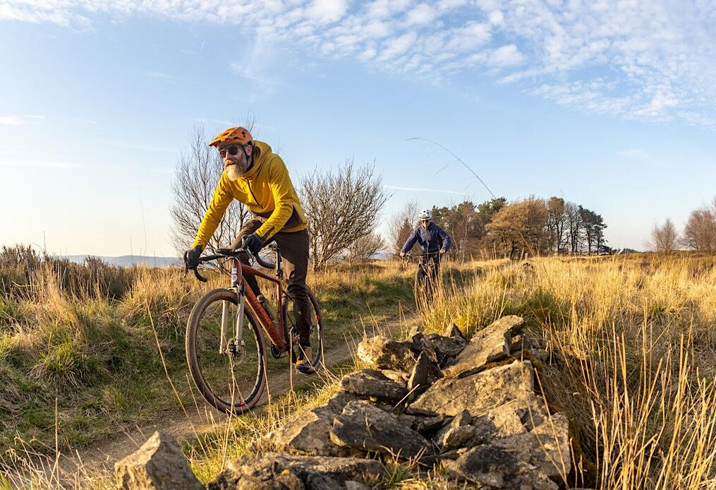
North York Moors Gravel and Explorer Routes
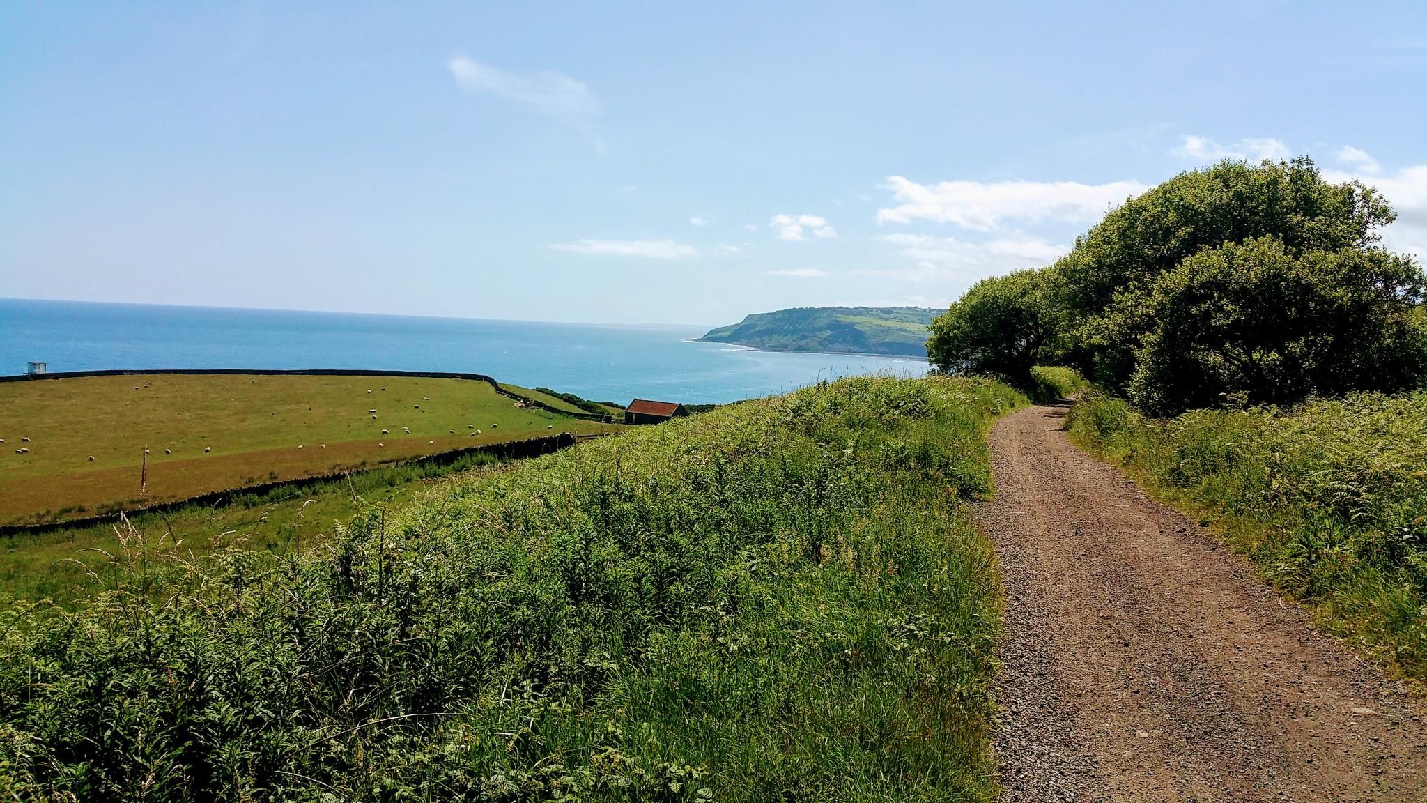
Gravel Cycling in North York Moors National Park
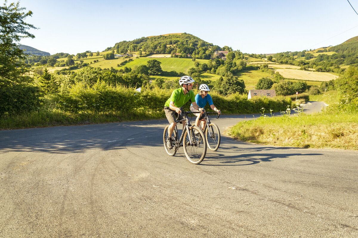
North York Moors National Park Cycle Routes
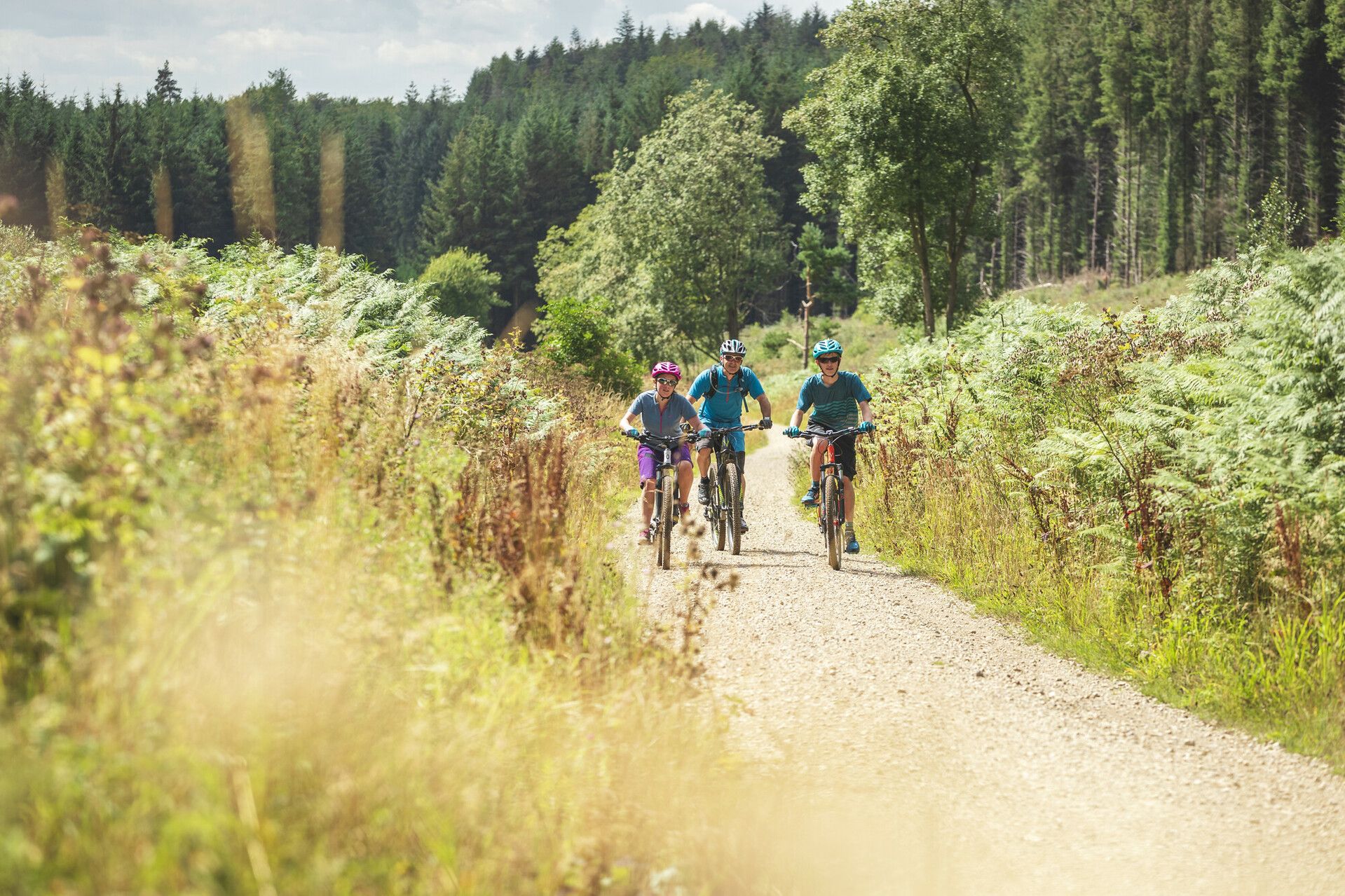
Moor to Sea – exploring the North York Moors National Park
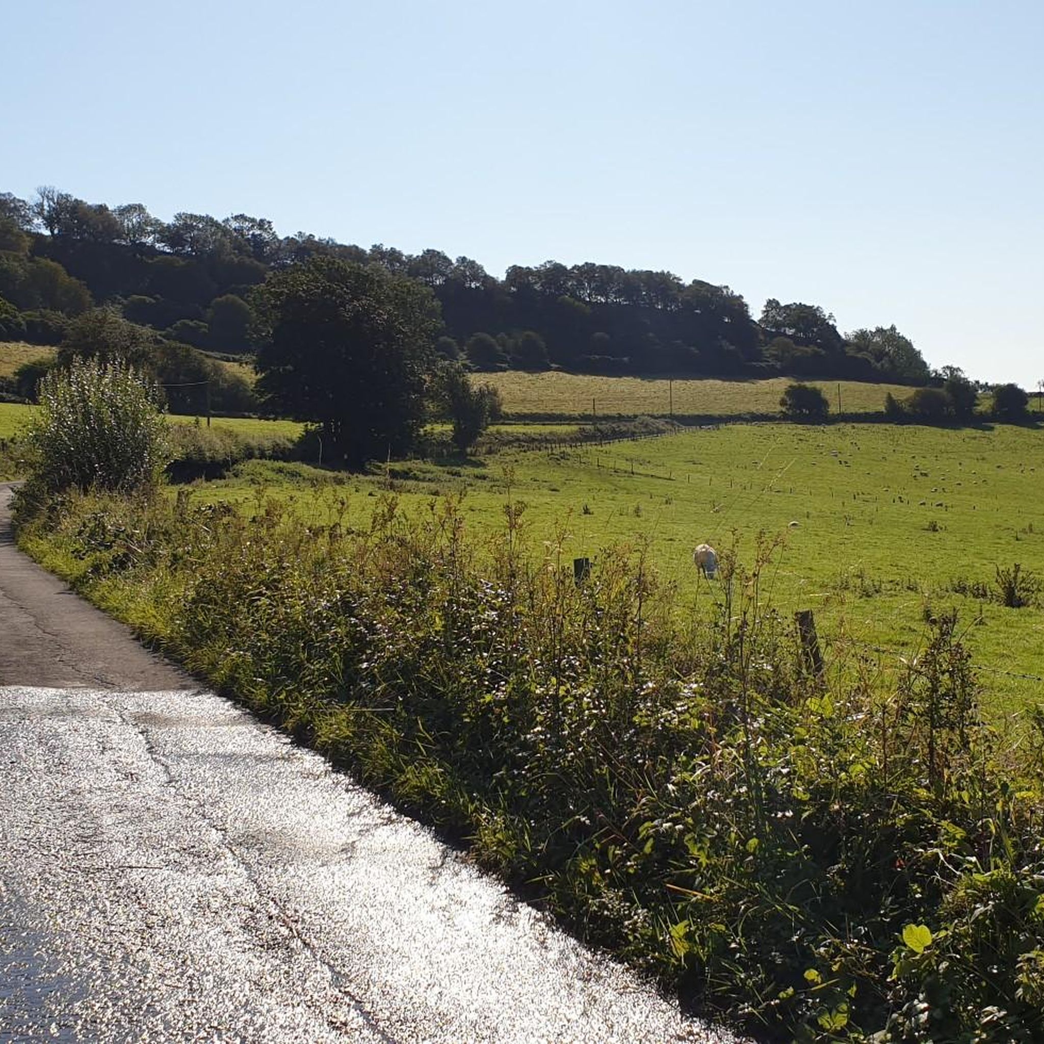
Cycling around Darncombe-Cum-Langdale End
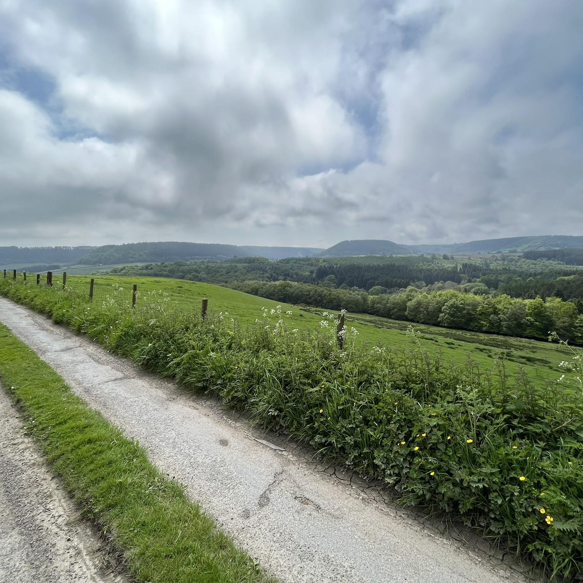
Hiking around Darncombe-Cum-Langdale End
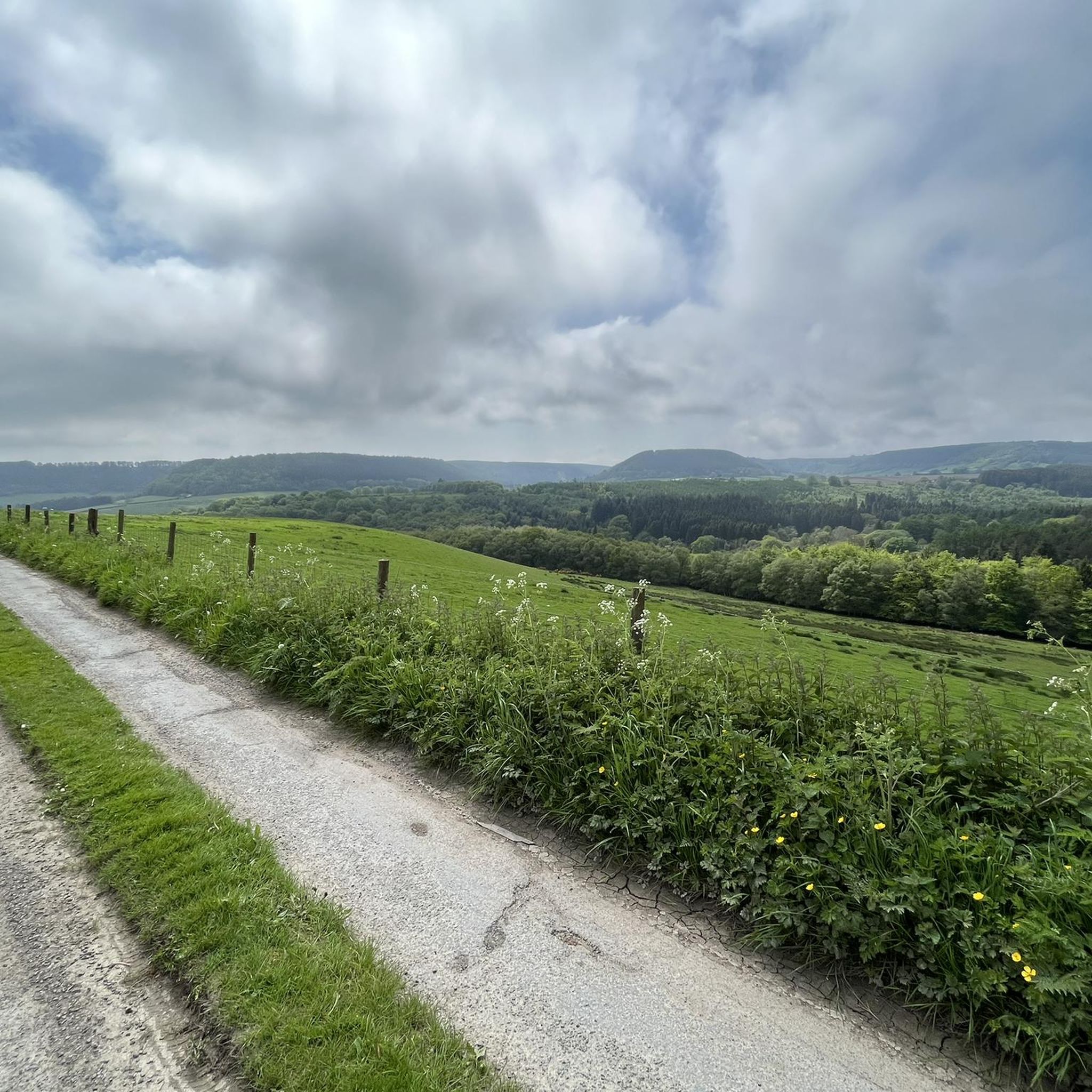
MTB Trails around Darncombe-Cum-Langdale End
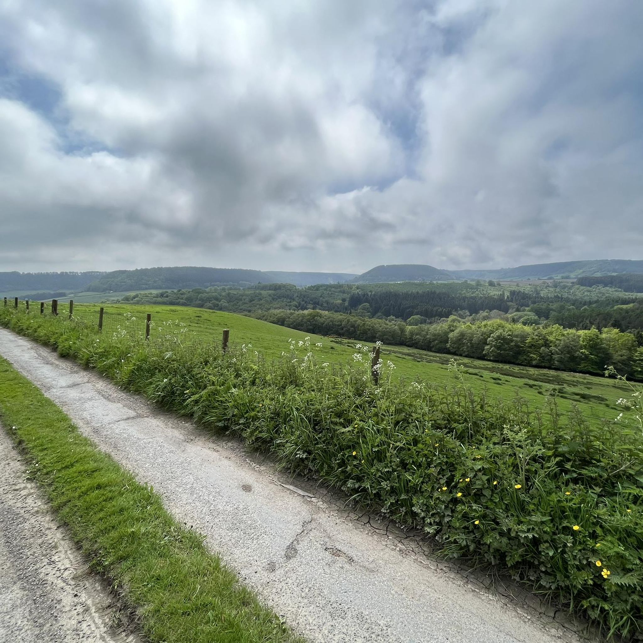
Road Cycling Routes around Darncombe-Cum-Langdale End
Gravel biking around Darncombe-Cum-Langdale End
Other adventures around Darncombe-Cum-Langdale End

Tips from the Community

Many paths. Quiet and beautiful. Perfect for a mountain and a gravel bike.
0
0
When I was around a couple of times, it smelled very bad in the area 😖
0
0

I don't no what kind of church this is but had loads of statues in the premises
0
0
I wonder how old this packhorse bridge is
0
0
I don't no if this is a free house still but I kind of got the 60s vibe
0
0
collapsed trees alert be careful
0
0
waking through this small village is like been stuck in 60 s
0
0
Frequently Asked Questions
How many running routes are available around Darncombe-Cum-Langdale End?
There are over 175 jogging routes in the Darncombe-Cum-Langdale End area, offering a wide variety of terrain and distances within the North York Moors National Park. These routes cater to different fitness levels, from easy strolls to more challenging trail runs.
What kind of terrain can I expect on the jogging trails in this region?
The region offers diverse terrain for runners. You'll find extensive wild moorland, ancient woodlands like Langdale Forest and Dalby Forest, and even dramatic coastal paths along the nearby Cleveland Way. Some routes feature unique geological formations such as "The Hole of Horcum".
Are there any easy or beginner-friendly running routes in Darncombe-Cum-Langdale End?
Yes, there are several easier options. Out of the 175 routes, 8 are specifically rated as easy, making them suitable for beginners or those looking for a more relaxed run. Many trails within Dalby Forest also offer well-maintained tracks that are considered easy and quiet.
What do other runners say about the trails around Darncombe-Cum-Langdale End?
The jogging routes in Darncombe-Cum-Langdale End are highly rated by the komoot community, with an average score of 4.6 stars from over 30 reviews. More than 3500 runners have used komoot to explore the varied terrain, often praising the scenic beauty and diverse options available.
Are there any circular running routes available?
Yes, many routes in the area are circular. For example, the Dalby Forest – Givendale Head Road loop from Allerston is a popular moderate circular path exploring woodland scenery. Another option is the Crosscliffe Viewpoint and Staindale Lake loop, which offers a moderate circular experience through the North York Moors National Park.
Can I bring my dog on the running trails?
Many trails within the North York Moors National Park and Dalby Forest are dog-friendly, but it's always recommended to keep dogs on a lead, especially near livestock or during nesting seasons. Always check local signage for specific restrictions on individual trails.
Are there any family-friendly jogging routes?
Yes, the region offers routes suitable for families. Dalby Forest, for instance, has a network of trails that can be adapted for various activity levels, including easier, well-maintained tracks perfect for a family jog. Look for routes marked as 'easy' for the most family-friendly options.
What interesting natural landmarks or attractions can I see while running?
You can encounter several notable natural features. The spectacular Mallyan Spout Waterfall is a highlight, though its path can be technical. You might also pass by Staindale Lake or the unique geological formation known as Hole of Horcum Bridleway. The Simon Howe Bronze Age Cairn also offers a historical point of interest.
Are there any routes that offer great views?
Absolutely. The Crosscliffe Viewpoint and Staindale Lake loop is one such route. Additionally, the Jerry Noddle Viewpoint in Dalby Forest provides awesome, unmissable panoramic views over Broxa Forest and Langdale Forest, often accessible via good quality tracks.
Are there options for longer, more challenging trail runs?
For those seeking a greater challenge, the region has plenty to offer. The Broxa Forest and Langdale Forest loop is a difficult 18.5-mile (29.7 km) trail that takes approximately 3 hours 27 minutes to complete, leading through extensive forest landscapes.
Is parking available near the running trails?
Yes, many popular trailheads, especially within Dalby Forest and other parts of the North York Moors National Park, offer designated parking facilities. It's advisable to check specific route details or local park information for parking availability and any potential fees.
Can I access the running routes using public transport?
While some areas within the North York Moors National Park are accessible by public transport, options can be limited, especially for reaching more remote trailheads. Dalby Forest has some public transport links, but for maximum flexibility, driving is often preferred. It's best to research specific bus routes or train connections to nearby towns like Scarborough or Pickering and then plan onward travel.
What is the best time of year for jogging in Darncombe-Cum-Langdale End?
The region is beautiful year-round, but spring and autumn often offer the most pleasant conditions for jogging, with milder temperatures and vibrant scenery. Summer can be warm, especially on exposed moorland, while winter runs can be invigorating but require appropriate gear for potentially wet or icy conditions.
Most popular routes around Darncombe-Cum-Langdale End
Most popular attractions around Darncombe-Cum-Langdale End

Get inspired with the komoot mobile app


Explore more
Browse the best Running Trails & Routes in other regions.
