The best road cycling routes around Finghall
4.3
(55)
3,234
riders
213
rides
Road cycling routes around Finghall offer access to the varied terrain of North Yorkshire, situated near the Yorkshire Dales National Park. The landscape features rolling hills, valleys, and picturesque countryside, characterized by dry stone walls and grazing areas. Cyclists can find routes with challenging ascents, long winding roads, and sweeping descents. The region provides a mix of well-paved surfaces suitable for various fitness levels.
Best road cycling routes around Finghall
- The most popular road cycling route is Middleham Castle –…
Last updated: May 25, 2026
71
riders
82.3km
03:40
810m
810m
Moderate road ride. Good fitness required. Mostly well-paved surfaces and easy to ride.
48
riders
99.2km
05:14
1,470m
1,470m
Hard road ride. Very good fitness required. Mostly well-paved surfaces and easy to ride.

Sign up for free
15
riders
50.1km
02:39
870m
870m
Moderate road ride. Good fitness required. Mostly well-paved surfaces and easy to ride.
5.0
(2)
14
riders
38.6km
02:09
680m
680m
Moderate road ride. Good fitness required. Some segments of this route may be unpaved and difficult to ride.
12
riders
56.1km
02:43
630m
630m
Moderate road ride. Good fitness required. Mostly well-paved surfaces and easy to ride.
Get access to more routes and recommendations from other explorers.
Sign up for free
Already have an account?
Our route recommendations are based on thousands of hikes, rides, and runs completed by other people on komoot.
Start today with a free account
Your next adventure awaits.
Login or Signup



Tips from the Community

Brutal. Go around the wrong side of the road and plead forgiveness to the motorists (good luck with that). Take care coming down. With lots of gravel on the road
0
0

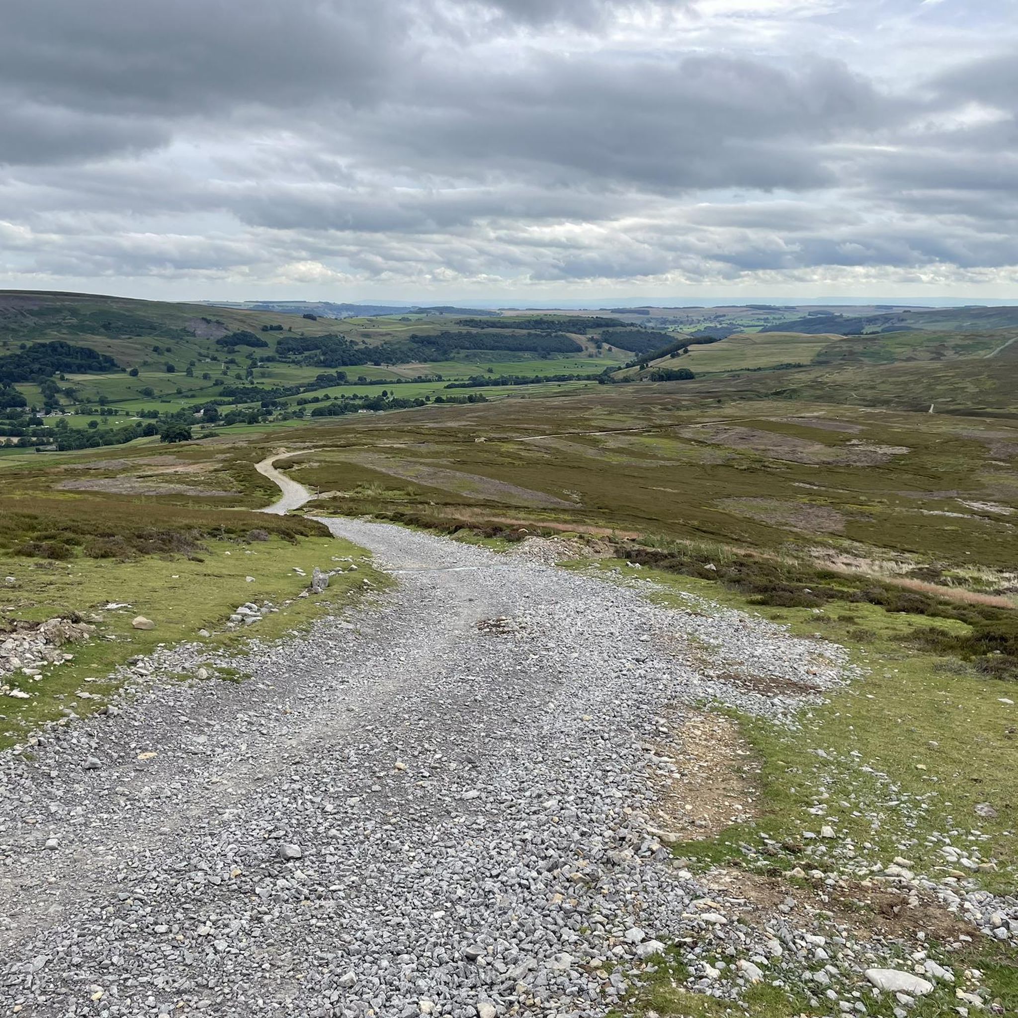
A classic stretch of high Pennine moorland, shaped by centuries of lead‑mining, with old hushes, spoil heaps, and trackways still etched into the heather. The moor forms part of the Reeth–Grinton–Harkerside upland block, giving wide, open views over Swaledale. Spectacular under a layer of snow in winter.
1
0

Whether you go up to the castle or hook a left further along in Redmire, you will need your granny gear!
0
0

Gears 34 x 34 . Keep to outside of bend. Pace yourself
0
0

Great place to stop for a break when out cycling. Richmond market place has plenty of cafes and pubs, for bite to eat and a refreshing drink.
0
0


This pretty wooden footbridge spans the Apedale Beck stream and is surrounded by stunning foliage, especially lovely in the autumn when the leaves change colour.
1
0
Frequently Asked Questions
What kind of terrain can I expect when road cycling around Finghall?
The region around Finghall, situated near the Yorkshire Dales National Park, offers a diverse road cycling experience. You'll encounter rolling hills, picturesque valleys, and open countryside characterized by dry stone walls and grazing areas. Routes feature a mix of challenging ascents, long winding roads, and sweeping descents, all on well-paved surfaces suitable for various fitness levels.
Are there road cycling routes suitable for beginners or families near Finghall?
Yes, among the over 200 road cycling routes available, 64 are classified as easy, making them suitable for beginners or those looking for a more relaxed ride. While specific family-friendly routes are not explicitly detailed for road cycling, these easier routes generally have less elevation and can be a good starting point. Always check the route details for elevation and distance to ensure it meets your family's needs.
What are some challenging road cycling routes for experienced riders?
For experienced cyclists seeking a challenge, there are 22 difficult routes around Finghall. A notable option is the Pateley Bridge – Masham Market Square loop from Hunton, which is a demanding 61.6 miles (99.2 km) path featuring significant elevation gain and passing through market towns. This route provides a substantial test for advanced riders.
What attractions or landmarks can I see along road cycling routes near Finghall?
Many routes offer scenic views and pass by interesting landmarks. For example, the Middleham Castle – View of Ellerkin Scar loop from Hunton provides views of Middleham Castle. Other nearby points of interest include the Ruins of Easby Abbey and the vibrant Masham Market Square. The region is rich in historical sites and natural beauty.
Is there public transport available for cyclists in Finghall?
A significant advantage for cyclists in Finghall is its stop on the Wensleydale Railway at Finghall Lane. This heritage railway runs through Wensleydale and offers a unique service: bicycles are carried free on all trains. This allows cyclists to cover longer distances, explore different sections of the Dales, or create varied routes by cycling one direction and returning by train.
Where can I find parking for road cycling routes around Finghall?
While specific parking locations for each route are best checked on individual komoot tour pages, Finghall's proximity to towns like Bedale, often described as a gateway to the Dales, suggests that parking facilities are available in these surrounding areas. Many routes start from villages or towns where public parking can be found, allowing easy access to the cycling network.
What is the best time of year to go road cycling in Finghall?
The North Yorkshire region, including Finghall, is generally enjoyable for road cycling from spring through autumn. During these seasons, the weather is typically milder, and the landscapes are vibrant. While winter cycling is possible, be prepared for colder temperatures and potentially more challenging road conditions. Always check local weather forecasts before heading out.
Are there any circular road cycling routes available?
Yes, many of the road cycling routes around Finghall are designed as loops, allowing you to start and finish in the same location. For example, the Grinton Moor – Whipperdale Bank loop from Hunton is a 31.1 miles (50.1 km) circular trail. You can filter for circular routes on komoot to find more options that suit your preferences.
What do other road cyclists enjoy most about road cycling in Finghall?
The road cycling experience around Finghall is highly rated by the komoot community, with an average score of 4.3 stars from over 50 reviews. Cyclists often praise the varied terrain, which includes rolling hills and picturesque countryside, as well as the mix of challenging ascents and sweeping descents. The well-paved surfaces and access to the Yorkshire Dales are also frequently highlighted.
Are there places to stop for refreshments or accommodation near the cycling routes?
The area surrounding Finghall is cyclist-friendly, with nearby market towns like Bedale offering amenities. Bedale, for instance, is known to have a cycling-specific 'Tandem Cafe,' indicating a supportive environment for cyclists. Many villages and towns along the routes will have pubs, cafes, and accommodation options, perfect for a break or an overnight stay.
How long are the typical road cycling routes around Finghall?
Route lengths vary significantly to cater to different preferences and fitness levels. You can find shorter rides, such as the Chambers Coffee House – Whipperdale Bank loop from Constable Burton at 23.2 miles (37.4 km), which takes around 2 hours. Longer routes, like the Pateley Bridge – Masham Market Square loop from Hunton, can extend to over 60 miles (99 km), offering full-day adventures.
Can I find routes that include significant climbs or descents?
Absolutely. The region's topography, being on the edge of the Yorkshire Dales, is characterized by rolling hills and valleys, providing ample opportunities for both challenging climbs and exhilarating long sweeping descents. Routes like the Tomgill Bank Climb, Thoralby – Middleham Castle loop from Newton le Willows specifically highlight climbs, ensuring a good workout for those seeking elevation.
Most popular attractions around Finghall

Get inspired with the komoot mobile app


Explore more
Browse the best Road cycling routes in other regions.
