The best running trails around Eryholme
4.1
(22)
3,081
runners
247
runs
Jogging around Eryholme offers a network of routes primarily through the flat to gently undulating terrain of the Tees Valley. The landscape is characterized by agricultural fields, riverside paths along the River Tees, and occasional wooded sections. Elevation changes are generally minimal, making many routes suitable for various fitness levels. The area provides opportunities for running through rural settings and connecting to nearby towns.
Best jogging routes around Eryholme
- The most popular jogging route is Harris Street, Darlington – Fighting Cocks Railway Station loop from Darlington, a 7.2 miles (11.6 km) trail that takes 1 hour 13 minutes to complete, offering a moderate run through varied local scenery.
- Another top favourite among local runners is Double Kettle loop from Croft-on-Tees, a moderate 6.2 miles (10.0 km) path. This route provides a pleasant run through the countryside surrounding Croft-on-Tees.
- Local runners also love the Barton Tailwind – Croft Bridge loop from Croft-on-Tees, a 10.7 miles (17.3 km) trail leading through rural landscapes and across Croft Bridge, often completed in about 1 hour 48 minutes.
- Jogging around Eryholme is defined by riverside paths, open fields, and quiet country lanes. The network offers options for different ability levels, from easy jogging routes to more challenging long-distance runs.
- The routes in Eryholme are highly rated by the komoot community with an average score of 4.2 stars from over 20 reviews. More than 2,800 runners have used komoot to explore Eryholme's varied terrain.
Last updated: May 13, 2026
22
runners
Moderate run. Good fitness required. Mostly paved surfaces. Suitable for all skill levels.
2.0
(1)
15
runners
10.0km
01:06
40m
40m
Moderate run. Good fitness required. Mostly paved surfaces. Suitable for all skill levels.

Sign up for free
11
runners
14.7km
01:33
110m
110m
Moderate run. Good fitness required. Mostly paved surfaces. Suitable for all skill levels.
10
runners
17.3km
01:48
90m
90m
Hard run. Very good fitness required. Mostly paved surfaces. Suitable for all skill levels.
5.0
(1)
11
runners
6.02km
00:37
20m
20m
Moderate run. Good fitness required. Mostly paved surfaces. Suitable for all skill levels.
Get access to more routes and recommendations from other explorers.
Sign up for free
Already have an account?
Our route recommendations are based on thousands of hikes, rides, and runs completed by other people on komoot.
Start today with a free account
Your next adventure awaits.
Login or Signup
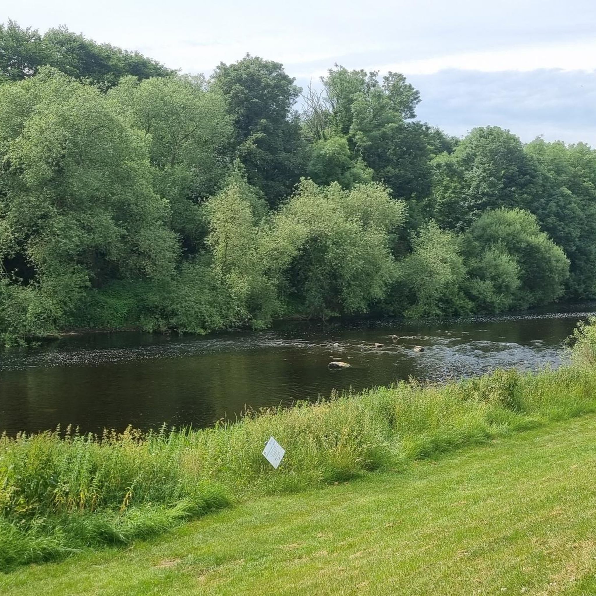
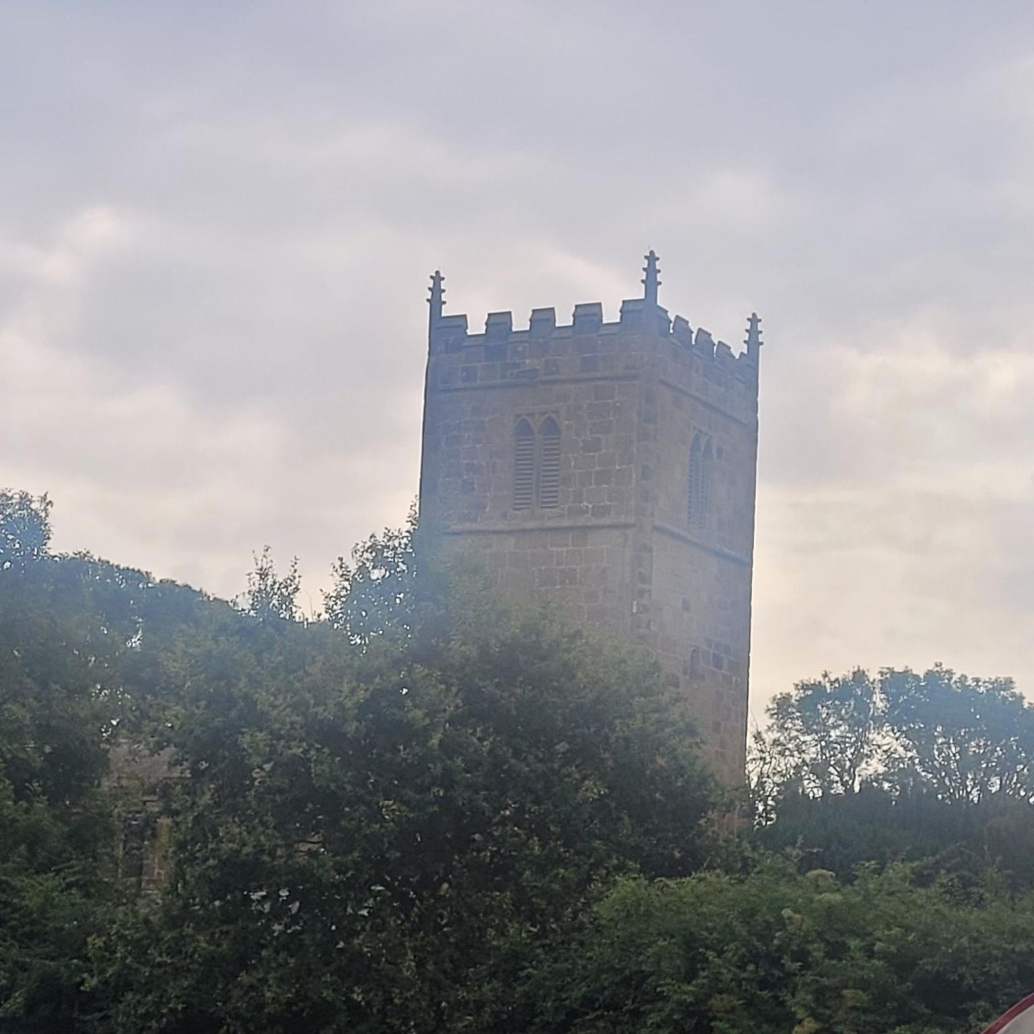
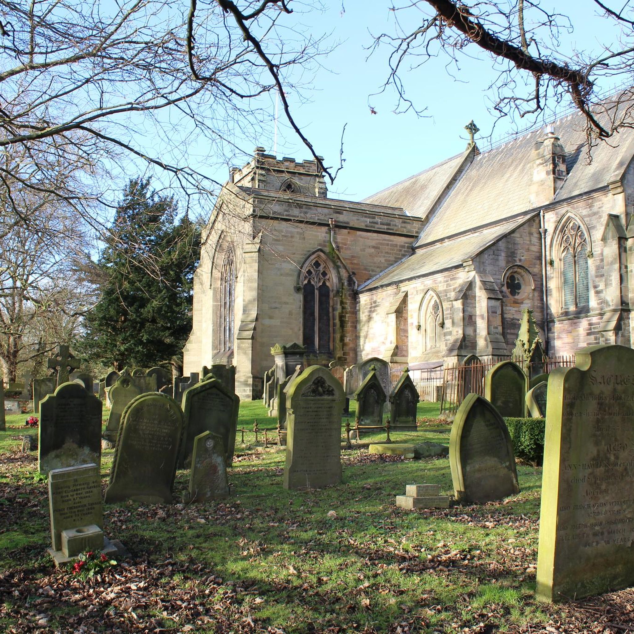

Tips from the Community

The South Park cannon in Darlington is a Russian 24-pounder captured by British forces during the Siege of Sevastopol (1854–1855) during the Crimean War.
0
0

Harris Street is a residential road located in Darlington. It is situated approximately half a mile from Darlington town centre and the mainline train station.
0
0
The Fothergill fountain, a Victorian memorial drinking water fountain in South Park, Darlinton
0
0
The South Park Cafe in Darlington has a history dating back to at least 1908, when it operated as the South Park Teahouse. The current cafe building is located near the park's historic clock tower and has been a fixture in the community for over a century.
0
0
When the S&DR opened in 1825, stone blocks were used as sleepers along the western end of the line, as far east as Darlington.
0
0
The path follows the course of the historic Stockton & Darlington Railway and is a popular choice for runners, walkers and cyclists.
0
0
Harris Street in Darlington was founded in 1858 as part of the "Freeholders' Home Estate," a housing development created to give working-class men a chance to buy property and gain the right to vote. It was named after John Harris, a railway engineer and prominent Liberal politician involved with the initiative.
0
0
Frequently Asked Questions
How many running routes are available around Eryholme?
There are over 250 running routes around Eryholme, catering to various fitness levels. This includes 41 easy routes, 164 moderate routes, and 47 more challenging options.
Are there any easy or beginner-friendly jogging routes in Eryholme?
Yes, Eryholme offers a good selection of easy routes, with 41 trails specifically graded as easy. These typically feature minimal elevation changes, making them ideal for beginners or those looking for a relaxed run. The terrain is generally flat to gently undulating, often along riverside paths and agricultural fields.
What are the typical lengths and durations of jogging routes near Eryholme?
Running routes around Eryholme vary significantly in length and duration. For example, the Park House and Clock Tower – South Park Lake loop from Darlington is a moderate 6.2 km (3.8 miles) route that takes about 38 minutes. Longer options like the Barton Tailwind – Croft Bridge loop from Croft-on-Tees cover 17.3 km (10.7 miles) and can take around 1 hour 48 minutes.
Are there any dog-friendly running trails in the Eryholme area?
Many of the rural paths and country lanes around Eryholme are suitable for running with dogs, provided they are kept under control, especially near livestock. Always check local signage for specific restrictions, particularly in nature reserves or private land. The open fields and riverside paths along the River Tees generally offer good opportunities for dog-friendly runs.
Can I find circular jogging routes around Eryholme?
Yes, many of the running routes in the Eryholme area are designed as circular loops, allowing you to start and finish at the same point. An example is the Double Kettle loop from Croft-on-Tees, a moderate 10 km (6.2 miles) path that provides a pleasant run through the countryside.
What kind of landmarks or attractions can I see while running near Eryholme?
The routes often pass by interesting local landmarks. For instance, you might encounter historical sites like St Peter's Church in Croft-on-Tees or cross notable structures such as Over Dinsdale Bridge. The area also features charming villages and traditional pubs like the Swan Inn in Danby Wiske Village.
Are there running routes with good parking facilities in Eryholme?
While specific parking details vary by route, many trails around Eryholme start from or pass through villages and towns like Darlington or Croft-on-Tees, where public parking is generally available. For routes starting in more rural areas, roadside parking might be an option, but it's always advisable to check the route details on komoot for recommended starting points and parking information.
What makes running in Eryholme unique compared to nearby areas like Croft-on-Tees?
Eryholme's running landscape is characterized by its extensive network of paths through the relatively flat Tees Valley, offering a mix of agricultural fields and tranquil riverside sections. While Croft-on-Tees also provides scenic routes, Eryholme's proximity to the River Tees and its generally minimal elevation changes make it particularly appealing for those seeking consistent, flowing runs through a classic English rural setting.
What do other runners say about the trails in Eryholme?
The running trails in Eryholme are highly regarded by the komoot community, boasting an average rating of 4.2 stars from over 20 reviews. Runners frequently praise the peaceful rural settings, the well-maintained paths, and the variety of routes suitable for different abilities, from gentle riverside jogs to longer, more challenging runs.
Are there any running routes that pass by pubs or places to stop for refreshments?
Yes, some routes in the Eryholme area are designed to pass through or near villages with local pubs. For example, the Over Dinsdale Bridge – Dinsdale Tree-Lined Road loop from Neasham might offer opportunities for a refreshment stop in nearby settlements. The Swan Inn in Danby Wiske Village is also a notable spot that could be incorporated into a longer run.
What is the best time of year to go jogging in Eryholme?
Spring and autumn are often considered the best times for jogging in Eryholme, offering pleasant temperatures and beautiful scenery as the landscape changes. Summer can also be enjoyable, especially in the mornings or evenings, though paths can be exposed to the sun. Winter runs are possible, but paths may be muddy or icy, particularly along riverside sections and through fields.
Are there family-friendly jogging routes suitable for all ages in Eryholme?
Many of the easier and shorter routes in Eryholme are suitable for families, especially those with minimal elevation and well-defined paths. The flat sections along the River Tees or through local parks offer safe and enjoyable environments for family runs. Always check the route's difficulty and length to ensure it matches your family's capabilities.
Can I spot wildlife while running on the trails around Eryholme?
The rural setting of Eryholme, particularly along the River Tees and through agricultural fields, provides opportunities for wildlife spotting. You might encounter various bird species, small mammals, and other local fauna. Early mornings or late evenings are often the best times for observing wildlife in these tranquil environments.
Most popular routes around Eryholme
Most popular attractions around Eryholme

Get inspired with the komoot mobile app


Explore more
Browse the best Running Trails & Routes in other regions.
