The best walks and hikes around Skelding
4.5
(1041)
7,562
hikers
208
hikes
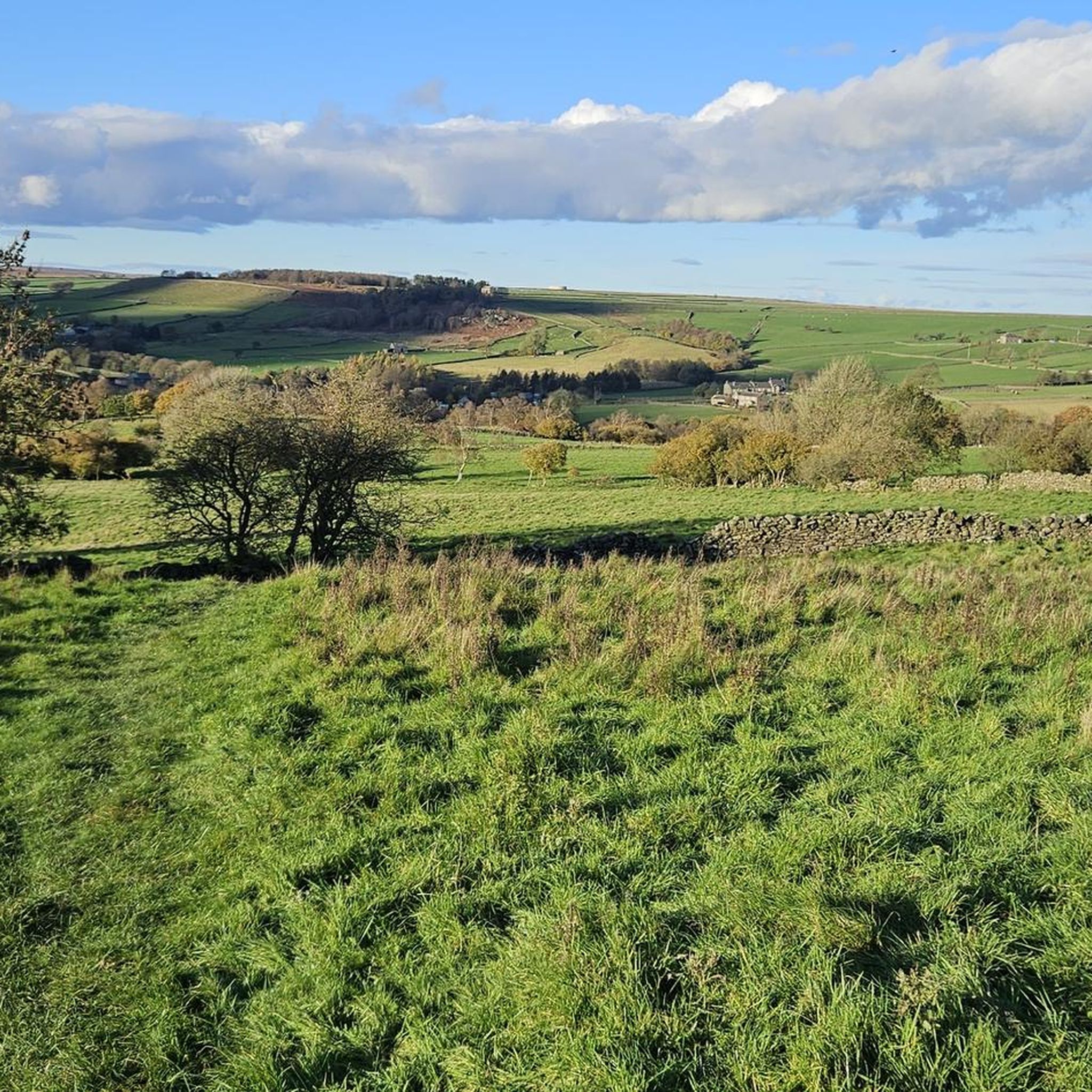
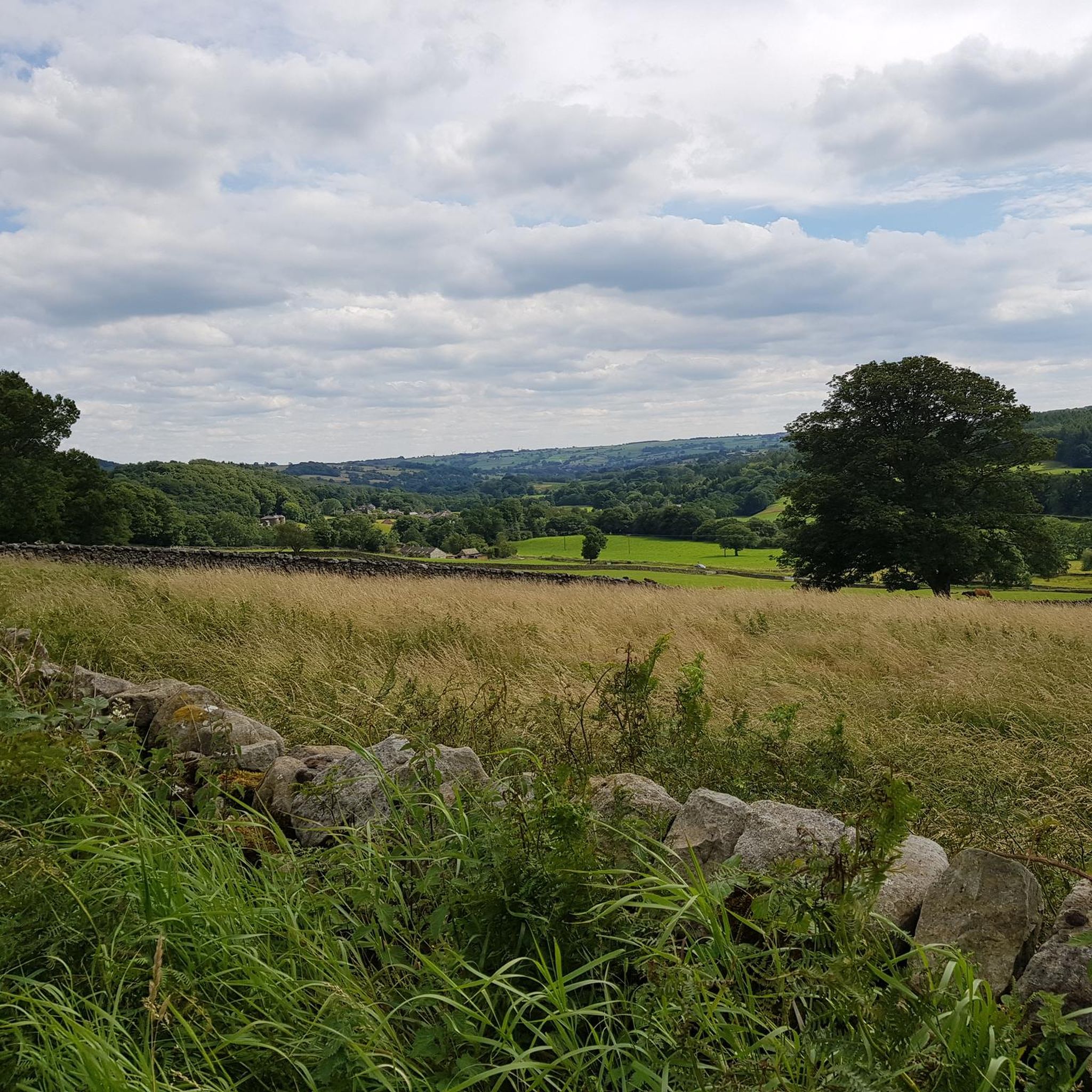
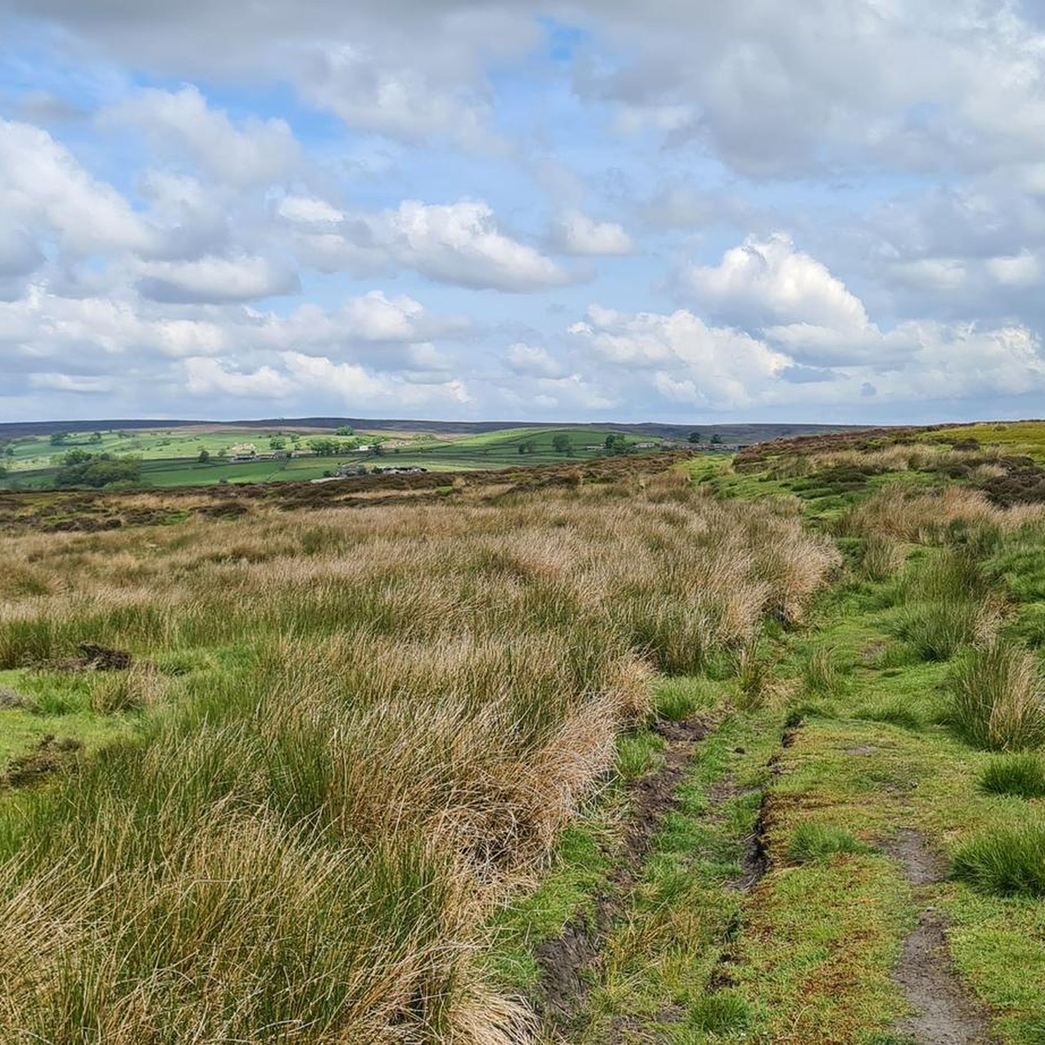
Hiking around Skelding offers access to the diverse landscapes of the Nidderdale Area of Outstanding Natural Beauty. The region is characterized by open moorland, tranquil reservoirs, and distinctive rock formations. Trails often follow the courses of local becks and lead through varied terrain, providing a range of experiences for hikers.
Best hiking trails around Skelding
- The most popular hiking route is Carlesmoor Beck and Lumley Moor Reservoir loop from High Grantley — Nidderdale, a difficult 11.6 miles (18.7 km)…
Last updated: July 18, 2026
4.5
(2)
10
hikers
Hard hike. Very good fitness required. Easily-accessible paths. Suitable for all skill levels.
5.0
(7)
98
hikers
11.4km
03:10
210m
210m
Moderate hike. Good fitness required. Easily-accessible paths. Suitable for all skill levels.

Sign up for free
5.0
(1)
8
hikers
Easy hike. Great for any fitness level. Easily-accessible paths. Suitable for all skill levels.
5.0
(2)
10
hikers
5.82km
01:34
70m
70m
Easy hike. Great for any fitness level. Easily-accessible paths. Suitable for all skill levels.
5.0
(1)
5
hikers
8.23km
02:15
130m
130m
Moderate hike. Good fitness required. Easily-accessible paths. Suitable for all skill levels.
Get access to more routes and recommendations from other explorers.
Sign up for free
Already have an account?
Our route recommendations are based on thousands of hikes, rides, and runs completed by other people on komoot.
Start today with a free account
Your next adventure awaits.
Login or Signup
Tips from the Community

Another mosaic on the Dallowgill Mosaic Trail, one of the most unusual, low key, and quietly brilliant pieces of rural public art in North Yorkshire. A 22 piece outdoor mosaic installation scattered across a huge upland parish, created entirely by local residents for the Millennium. The trail encompasses farms, lanes, moor edges, and becks, and it tells you exactly what the people of Dallowgill thought was worth celebrating about the area they call home.
0
0
Another mosaic on the Dallowgill Mosaic Trail, one of the most unusual, low key, and quietly brilliant pieces of rural public art in North Yorkshire. A 22 piece outdoor mosaic installation scattered across a huge upland parish, created entirely by local residents for the Millennium. The trail encompasses farms, lanes, moor edges, and becks, and it tells you exactly what the people of Dallowgill thought was worth celebrating about the area they call home.
0
0
Another mosaic on the Dallowgill Mosaic Trail, one of the most unusual, low key, and quietly brilliant pieces of rural public art in North Yorkshire. A 22 piece outdoor mosaic installation scattered across a huge upland parish, created entirely by local residents for the Millennium. The trail encompasses farms, lanes, moor edges, and becks, and it tells you exactly what the people of Dallowgill thought was worth celebrating about the area they call home.
0
0
North Gill Beck is a small upland stream forming the northern boundary of Dallowgill. It runs eastwards through enclosed pasture and woodland toward the River Laver. These bridges and and forward are in Pye Carr and Hodgson Wood which are nice and cool on a hot day.
0
0
Drift Lane is an old driftway, a route used for moving livestock between pasture, markets, and droving roads. The Laver is shallow and braided in this reach, making it ideal for cattle crossings, cart access to riverside meadows and seasonal movement between farms.
0
0
Lumley Moor was built to release water, not just store it. Victorian waterworks often reduced natural river flow. When towns like Ripon began abstracting water from upland streams, they risked lowering summer flows, affecting mills downstream, killing fish and breaching riparian rights (a big legal issue for Victorians). So water authorities were legally required to put water back into the river to compensate for what they took out. Same as Gouthwaite Reservoir but on a much smaller scale, this is a type of compensation reservoir.
0
0
This is a pretty hand‑made ceramic and glass mosaic set into a stone plinth beside Carlesmoor Beck Ford, created as part of the Dallowgill Millennium Mosaic Project (2000–2002). The project placed 22 mosaics around the parish, each depicting a local theme — wildlife, history, landscape, folklore.
0
0
Very nice place for a pit-stop. The little waterfall created by the drop in the beck bed is unusual, most fords on the Nidderdale moors are flat and featureless crossings.
0
0
Frequently Asked Questions
How many hiking trails are available around Skelding?
There are over 200 hiking routes around Skelding, offering a wide range of experiences. These include 93 easy trails, 110 moderate trails, and 10 more challenging routes, ensuring options for all skill levels.
What kind of landscapes can I expect to see while hiking in Skelding?
Hiking around Skelding offers diverse landscapes characteristic of the Nidderdale Area of Outstanding Natural Beauty. You'll encounter open moorland, tranquil reservoirs, and distinctive rock formations. Trails often follow the courses of local becks, providing varied terrain and scenic views.
Are there any easy, family-friendly walks in the Skelding area?
Yes, Skelding offers several easy routes suitable for families. An excellent option is the Brimham Rocks – Druid's Writing Desk loop from Fellbeck, an easy 4.4-mile (7.1 km) trail that takes about 2 hours to complete. This route leads through the unique rock formations of Brimham Rocks, which are fascinating for all ages.
Are there any circular walks available around Skelding?
Many of the trails around Skelding are circular, allowing you to start and end at the same point. For example, the Carlesmoor Beck and Lumley Moor Reservoir loop from High Grantley — Nidderdale is a popular difficult circular route, while the Lumley Moor Reservoir loop from Grantley offers an easier circular option.
What are some notable natural features or landmarks to look out for on hikes?
The region is known for its distinctive rock formations, such as those found at Brimham Rocks. You can also explore tranquil reservoirs like Lumley Moor Reservoir. For specific viewpoints and summits, consider visiting High Crag Ridge Trig Point, Riva Hill Summit, or Nutwith Common Summit.
What do other hikers say about the trails in Skelding?
The trails in Skelding are highly rated by the komoot community, with an average score of 4.5 stars from over 900 reviews. Hikers often praise the diverse terrain, from open moorland to tranquil reservoirs, and the unique rock formations that make the routes engaging and scenic.
Are there any trails that feature water bodies like reservoirs or lakes?
Yes, several trails incorporate water features. The Carlesmoor Beck and Lumley Moor Reservoir loop from High Grantley — Nidderdale is a prime example, exploring the scenic Carlesmoor Beck and the tranquil Lumley Moor Reservoir. You can also find highlights like Glasshouses Dam and Gouthwaite Reservoir in the wider area.
What is the best time of year to go hiking in Skelding?
While specific seasonal details for Skelding are not provided, the diverse landscapes of moorland, reservoirs, and rock formations suggest that hiking can be enjoyable across multiple seasons. Spring and autumn typically offer pleasant temperatures and vibrant scenery, while summer provides longer daylight hours. Winter hikes might be possible but could require more preparation due to weather conditions on open moorland.
Are there any longer, more challenging hikes for experienced trekkers?
Yes, for experienced hikers seeking a challenge, Skelding offers routes like the Carlesmoor Beck and Lumley Moor Reservoir loop from High Grantley — Nidderdale. This difficult 11.6-mile (18.7 km) trail takes approximately 5 hours to complete and explores extensive moorland and reservoir areas within Nidderdale.
Can I find any historical or religious sites along the hiking routes?
While the primary focus is on natural landscapes, you can find points of interest such as How Hill and St. Michael's Church, which offers a glimpse into local heritage and architecture, potentially accessible from some routes or as a short detour.
What are the typical elevation changes on trails around Skelding?
The elevation changes vary significantly depending on the trail's difficulty. Easy routes like the Brimham Rocks – Druid's Writing Desk loop from Fellbeck have moderate ascents of around 128 meters. More challenging routes, such as the Carlesmoor Beck and Lumley Moor Reservoir loop from High Grantley — Nidderdale, feature elevation gains of approximately 269 meters, offering more strenuous climbs.
Is there a trail that features unique artistic or man-made elements?
Yes, the Carlesmoor Beck Ford – Dragonfly Mosaic loop from Welcome to Tom Corner is a moderate 6.9-mile (11.1 km) trail that includes a notable dragonfly mosaic, adding an interesting artistic touch to the natural surroundings.
Most popular attractions around Skelding

Get inspired with the komoot mobile app


Explore more
Browse the best Hikes in other regions.
